Hiya
I have come into this the other way along. I have been using a 7" Garmin Truck SatNav (Dezl 780, 560 and LGV700 in that order). I previously had a Snooper TruckNav but over time that got worse for me. So I upgraded to a Garmin and I've travelled over 400,000 kilometers over 5 years with it. I used it both on and off road and with and without basecamp. After a 4 years I added a Dezl 560 and used that specificially in my 4x4, and from time to time used the 780 in car mode.
Recently I upgraded both to the new LGV700 model, and this one has live traffic too. The log function is quite impressive as it shows me places I've been, the times it took and other details like that.
Such as 'base depot to delivery point 1' then 'd/p1 to d/p2' and stuff. The routing with traffic information is quite on the ball too. It still uses a Mini USB but has a Micro USB for programming. The Mini USB has to be 2A input and without it it complains after a while that its not getting enough power. I have the traffic receiver module but here in the UK Garmin have discontinued traffic support over FM and reccomends using a bluetooth enabled mobile phone connection.
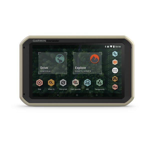
So. That's the Truck SatNav's I've used and have. I have been interested in the Overlander for some time and despite all of the drawbacks feel it's worth a try. Here in the UK I have been using ViewRanger for topo maps and that application/platform is ceasing to be and changing to a new version/entity that I don't get on with so far. I have OSMand and am pleased I could possibly get it to work with the Garmin as side loading.
I don't think I'd pair my phone to the Overlander except for traffic if it needs it. I have onboard wifi already so I'm hoping the device can work with that.
The way I read it above, I can read the contents from the Overlander to Basecamp, but if I send anything to the device with Basecamp, the device fails. Oh joy. I shall have to investigate the online app more.
Considering I was using the LGV versions I'm gonna go with the Overlander as my main nav unit. I already refer to other online sources to validate my routes here in the UK to make sure they are legal to drive. In the past I have set a waypoint for the start of the lane and the end of the lane, then planned a route to either depending on my goal. I then just make notes of 'suggested route' and get the Nav unit to navigate there.
For planning longer trips I tend to plan routes to particular waypoints, POIs etc. Mostly letting the Nav do its own thing to get me there. I've already had a play with some settings because trust me, its never fun reversing several miles out of a track in a 40 ton articulated truck on hazard lights when you've met an obstruction


