ttora4runner
Expedition Leader
I'm not really sure how to start this report. I guess you could say it was the way that I thought of the trip up until I started on the trip “indifferent”. Planning for this trip started towards the end of last year and as the time got closer I would work on here or there but still couldn't get all that excited about the trip. Part of the problem I believe was not really taking anytime off of work since April even then it was that long of a vacation. On top of that the stress at work had started to weigh on me and I had to bite my lip on more than one occasion (I'm one of those people who just kind of keeps things bottled up inside and just takes more).
I had hoped that the side weekend trips to Montana and Idaho would help. Which they did but work was still in the back of my mind. About two months before hand I went ahead and signed off for an additional as there was talk of sending me to Kansas to assist with a construction for a couple of weeks and I wanted to make sure that I had ample time to prepare for the trip.
Needless, to say it didn't pan out but I still kept the time-off.
When the day came to pack for the trip and get things square out it just felt weird. I hadn't had a weekday off in who knows how long that wasn't a Friday. Maybe, it's because I've been used to going to store at night or on the weekends when everyone was out. It just felt strange!
When 4am rolled around Thursday morning it was the first time that I had started to feel some sort of relief from everything. I had hoped to be on the road by 5am to try and beat the traffic though the construction zones between Lehi and Spanish Fork. The last thing I wanted was to spend hours in the traffic though these zones. Thankfully, traffic didn't pose a problem.
I want to say by the time that I was heading south out of Price, Utah on Hwy 191 that I felt at ease with everything. As I drew near the San Juan Mountains my excitement started to grow knowing that I'd have four days away from it all.
I had planned to stay at the KOA again between Ridgeway and Ouray as I did in 2008 as it seemed like a logical place to setup camp; didn't really feel like setting up and breakup down a tent every day. The last time around I had camped at a spot near the main road but this I probable one of most remote sites that you can get at the KOA tucked up off a little side road in one corner of the campground.
I was hoping to be able to meet up with one of friends and his girlfriend from Arizona but knowing that cell service would be sketchy up here. I went ahead and tried. Surprisingly, a short time later I get a call and they had just came back into cell service so we planned to meet up at one of the local stores to chat for a bit before going our ways.
There's something to be said about meeting up with old friends and catching up some. Best of luck to you Tim and Danica. We'll have to meet-up again on another trip.
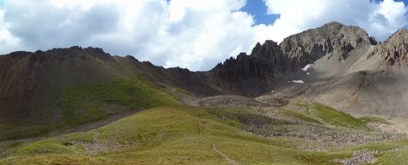
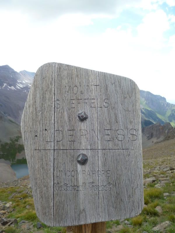
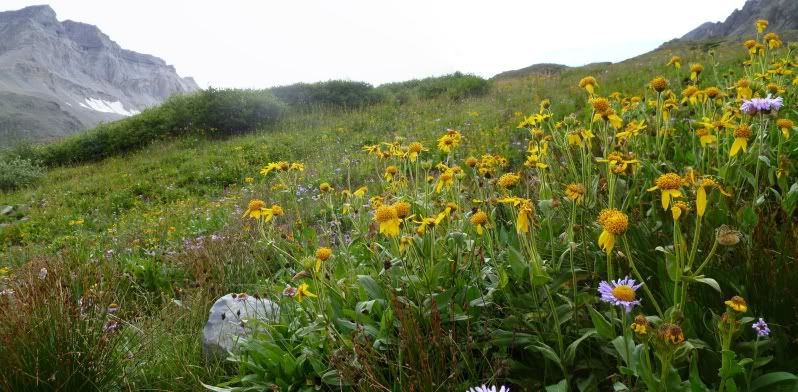
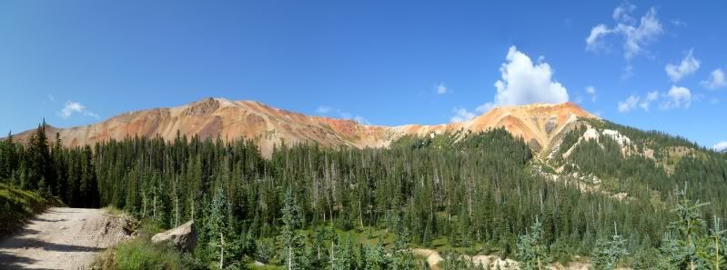
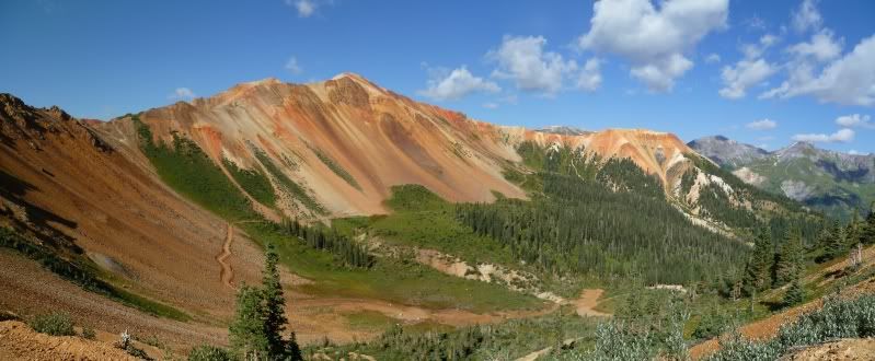
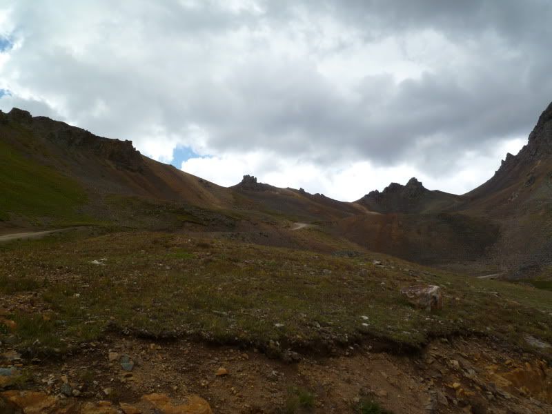
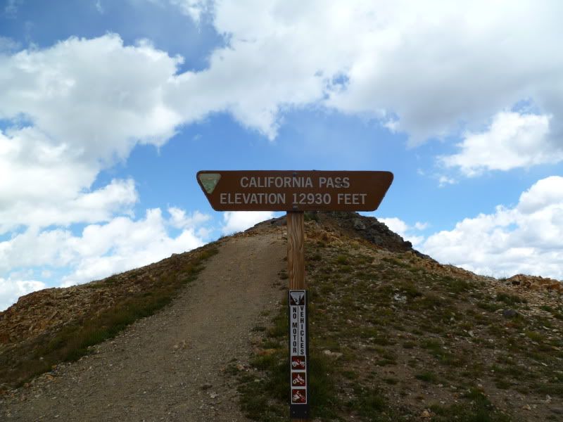
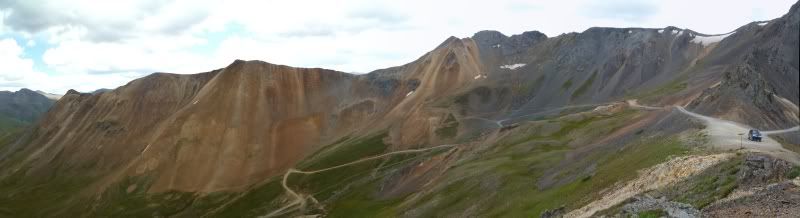
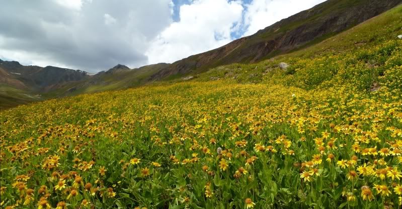
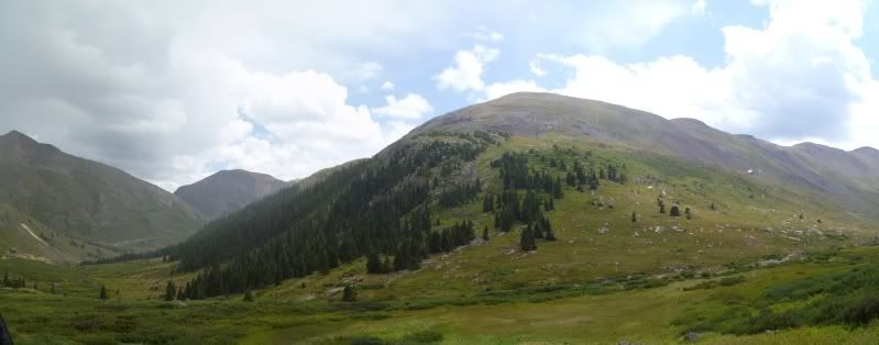
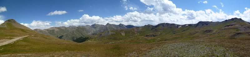
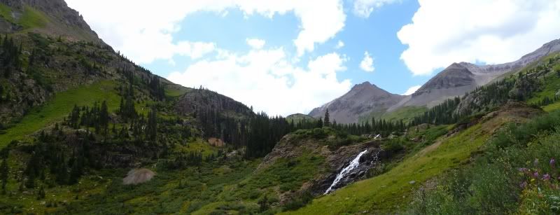
Once we part ways I headed up to Yankee Boy Basin to do a short hike up to Mount Sheffel's beforeing heading back to camp for dinner and to relax from the day.
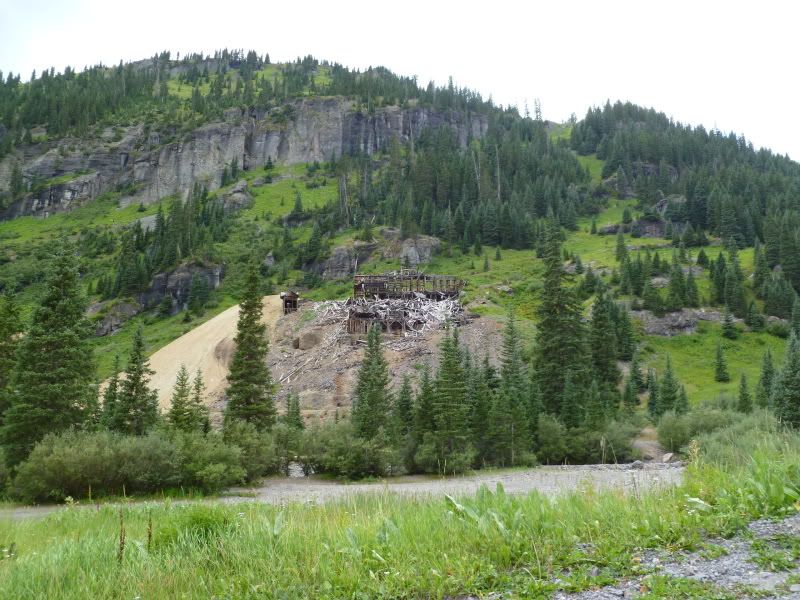
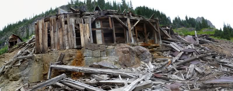
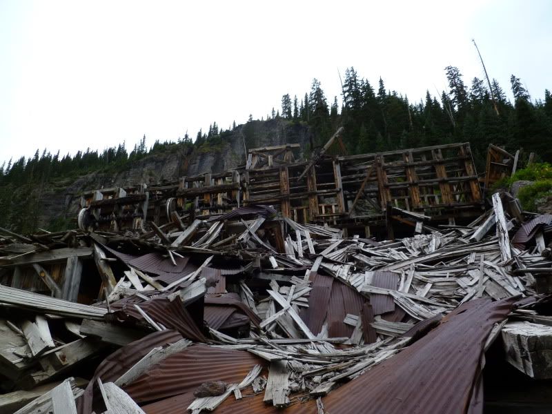
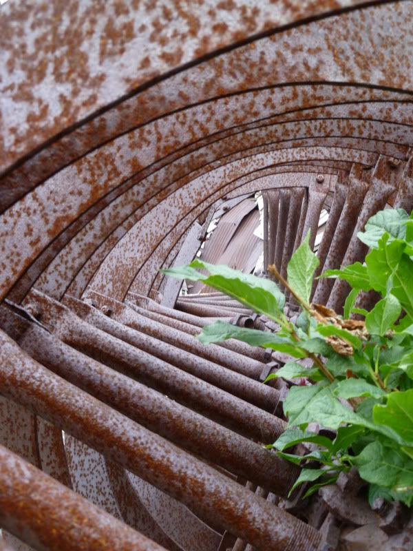
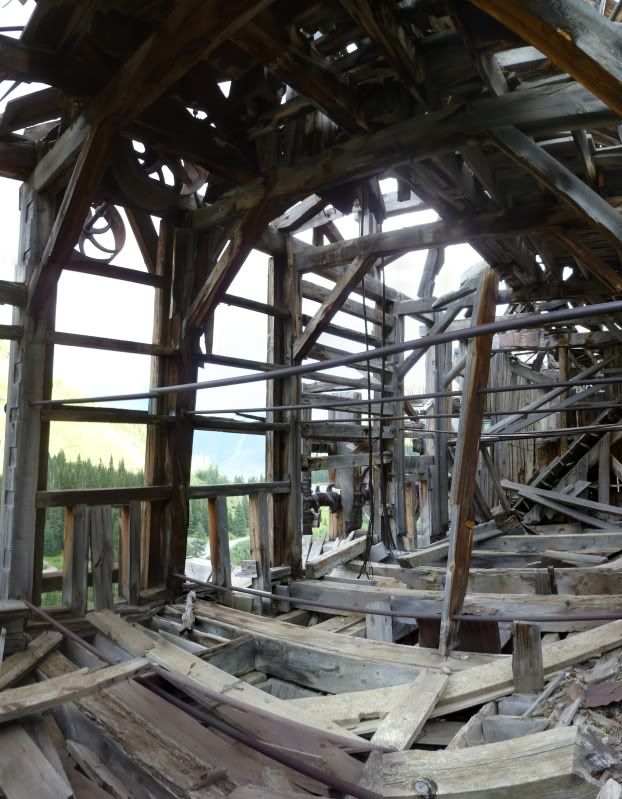
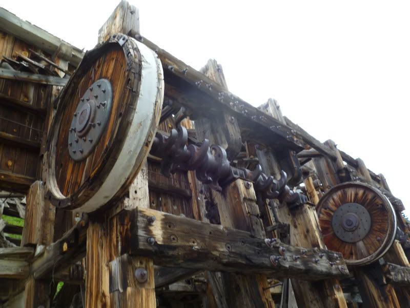
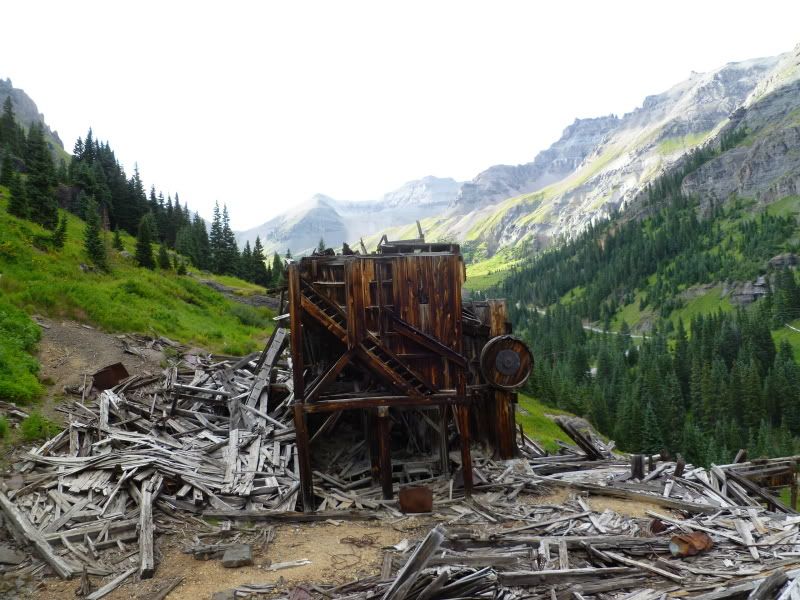
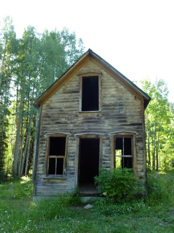
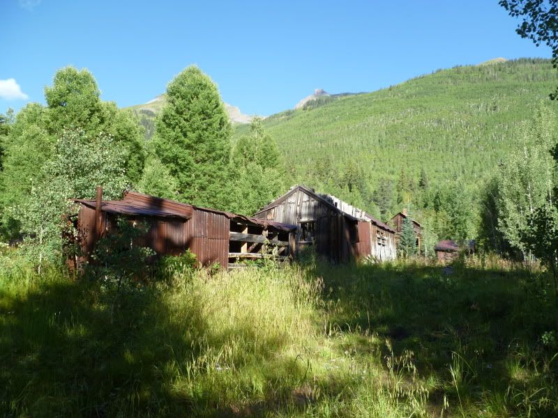
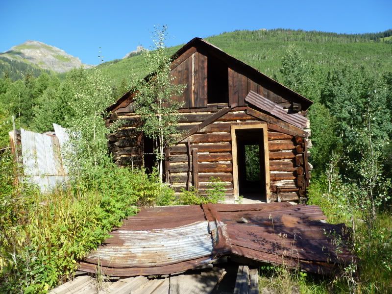
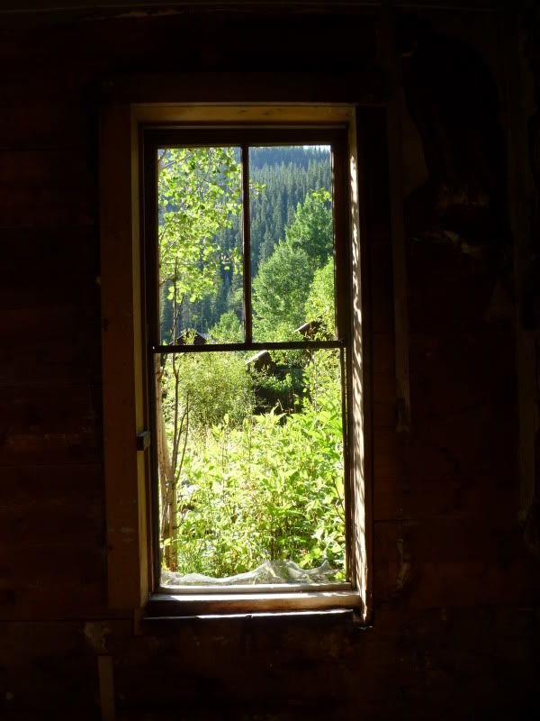
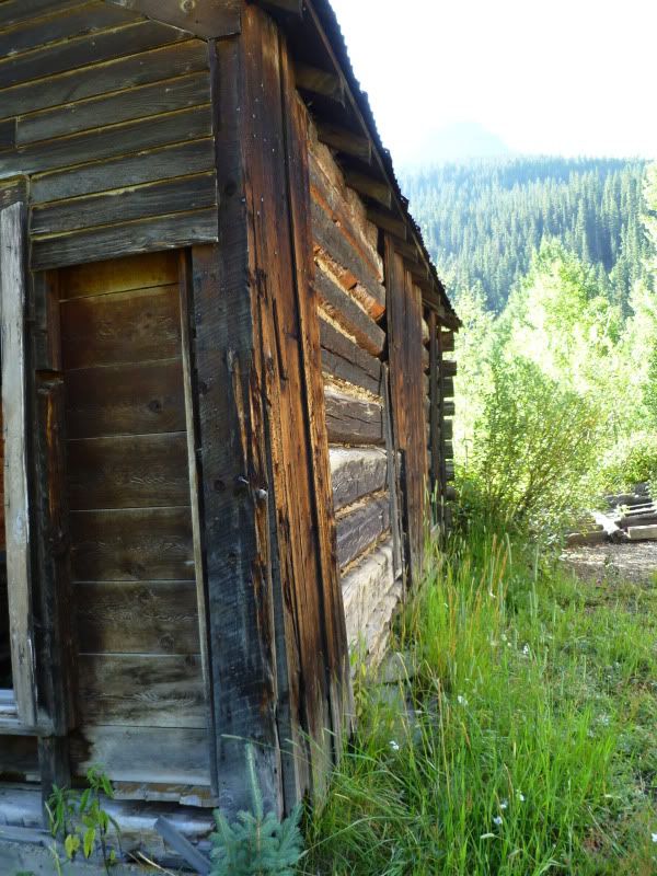
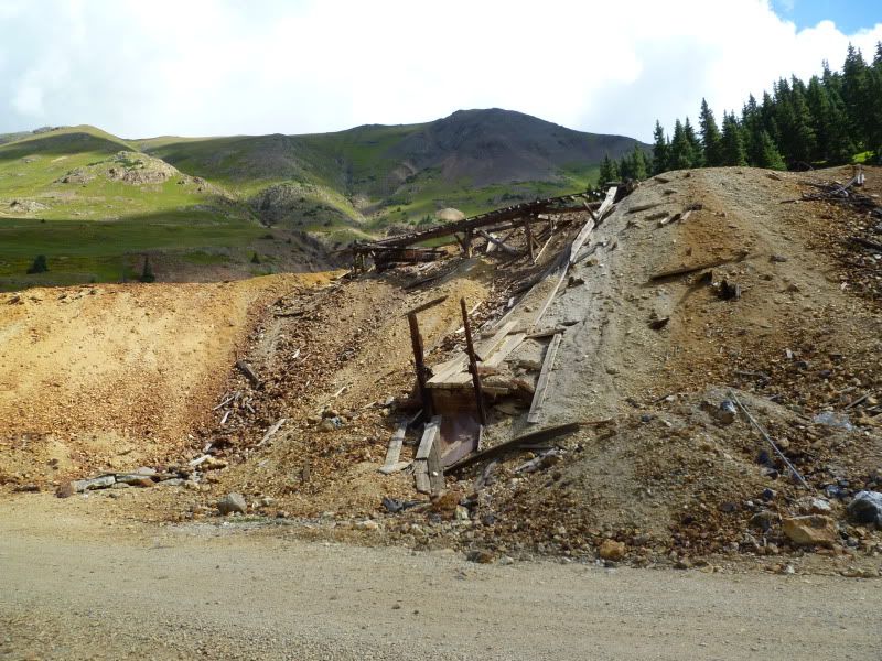
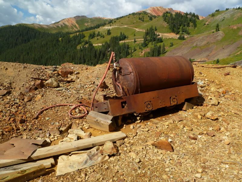
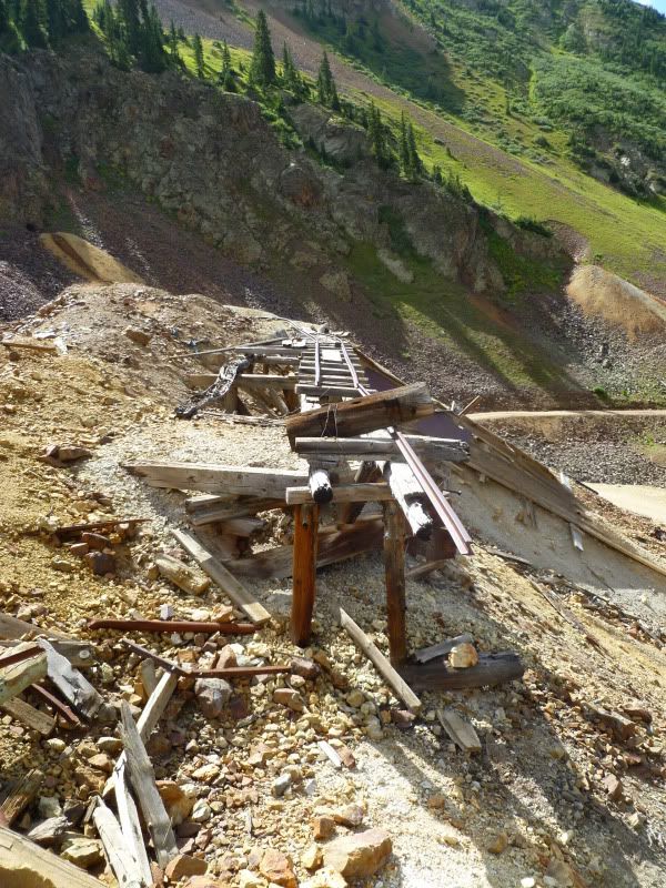
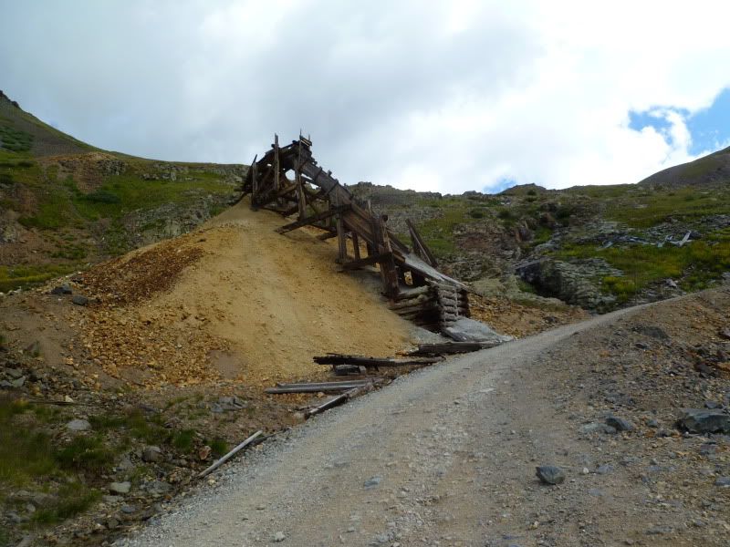
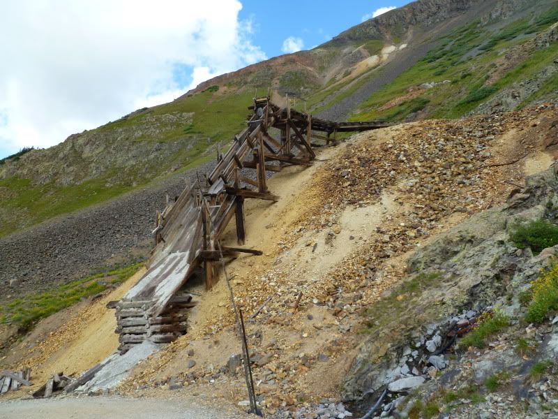
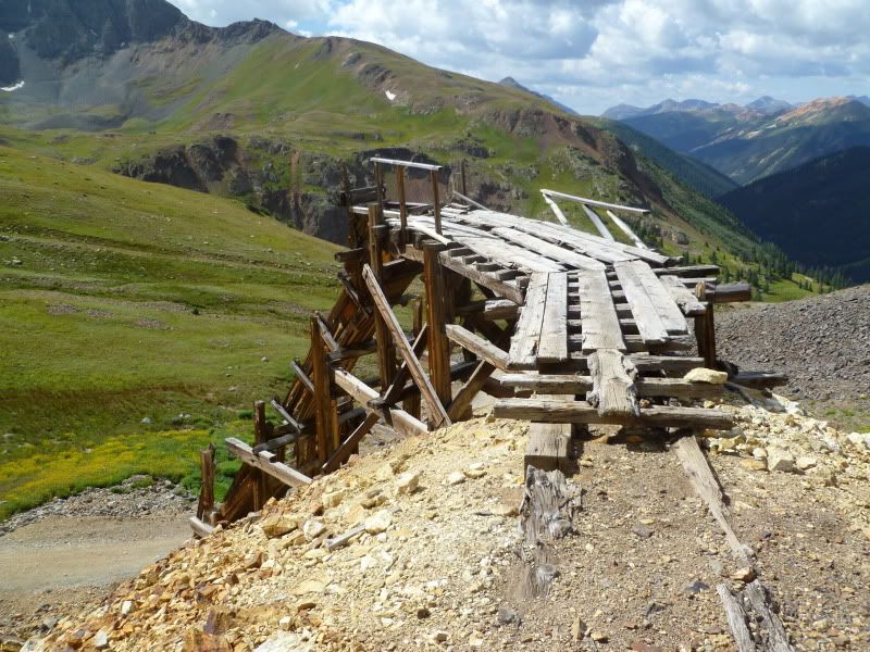
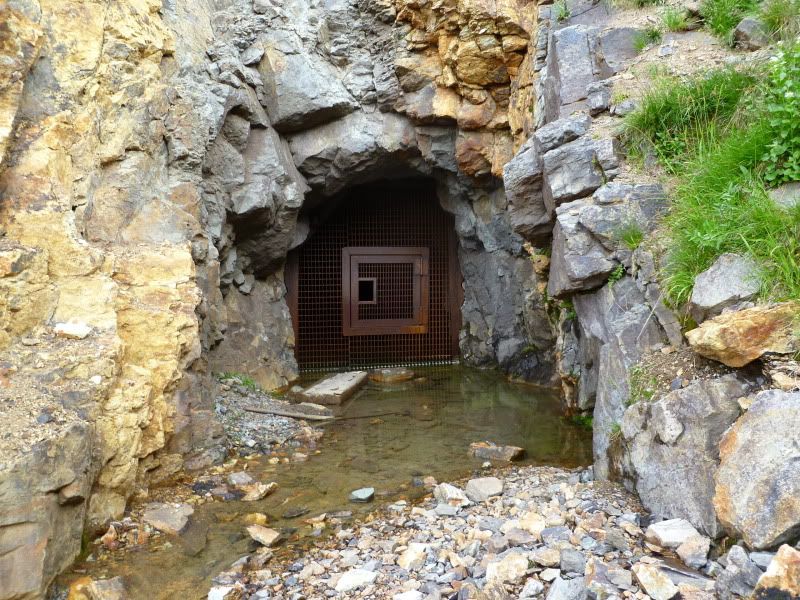
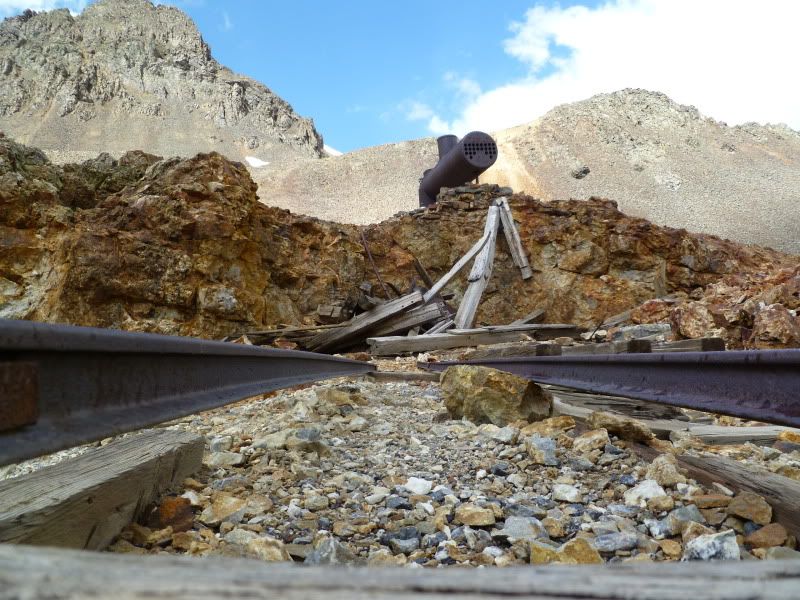
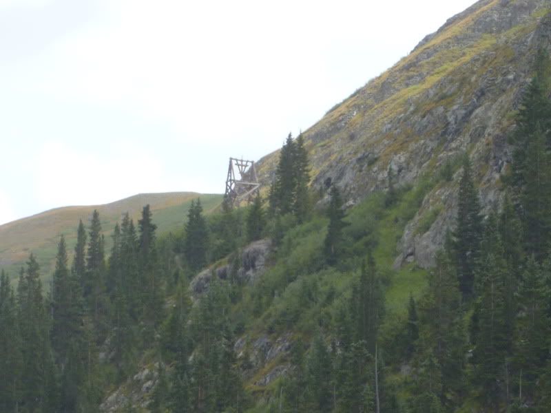
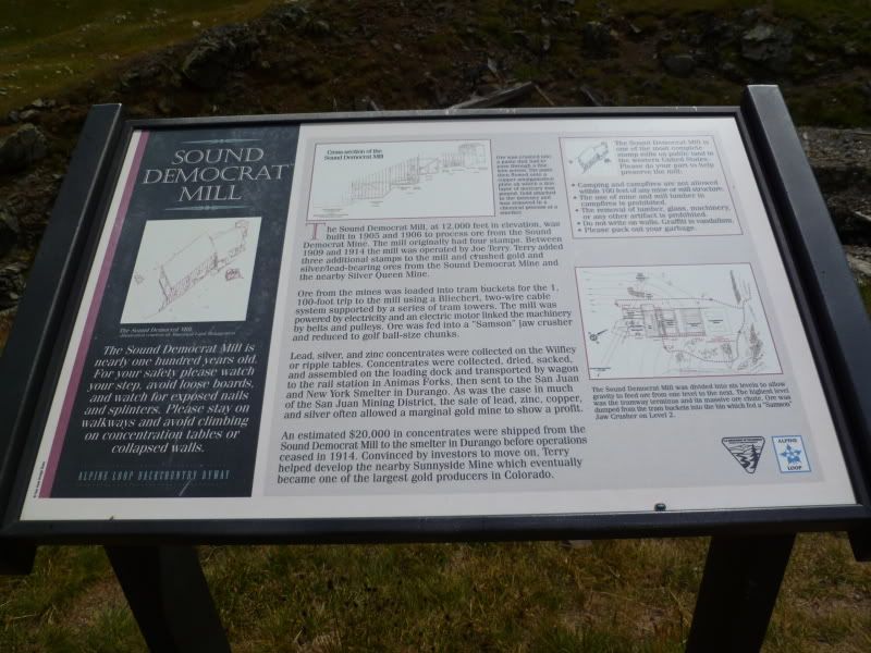
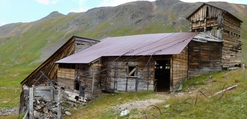
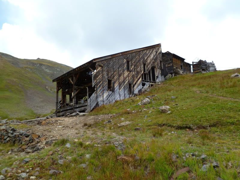
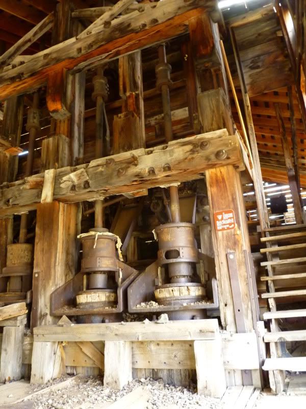
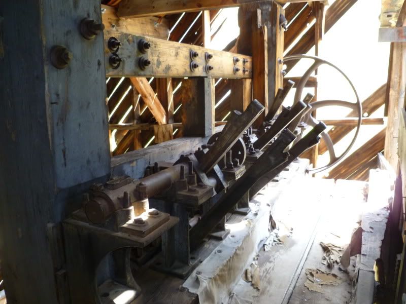
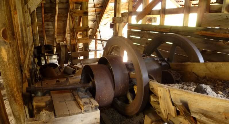
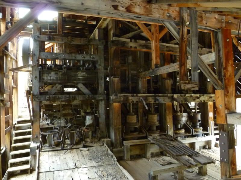
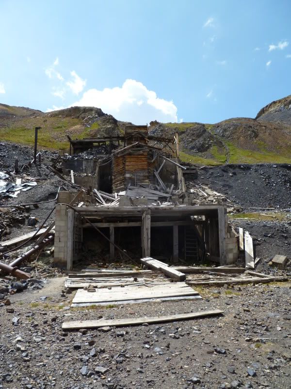
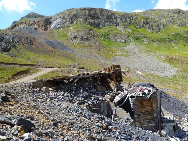
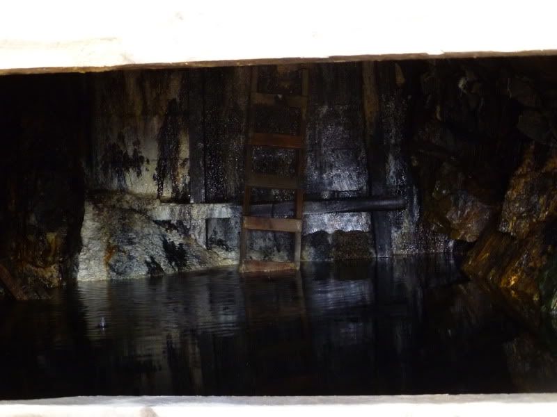
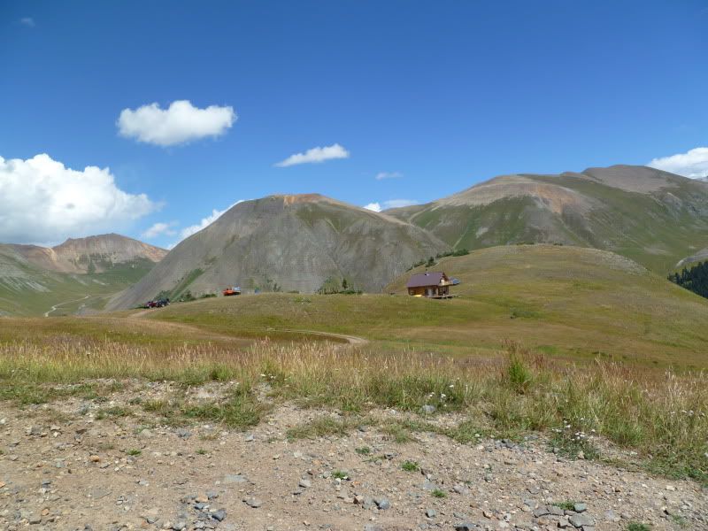
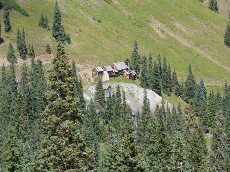
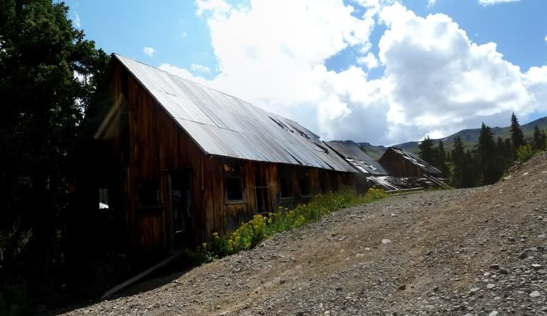
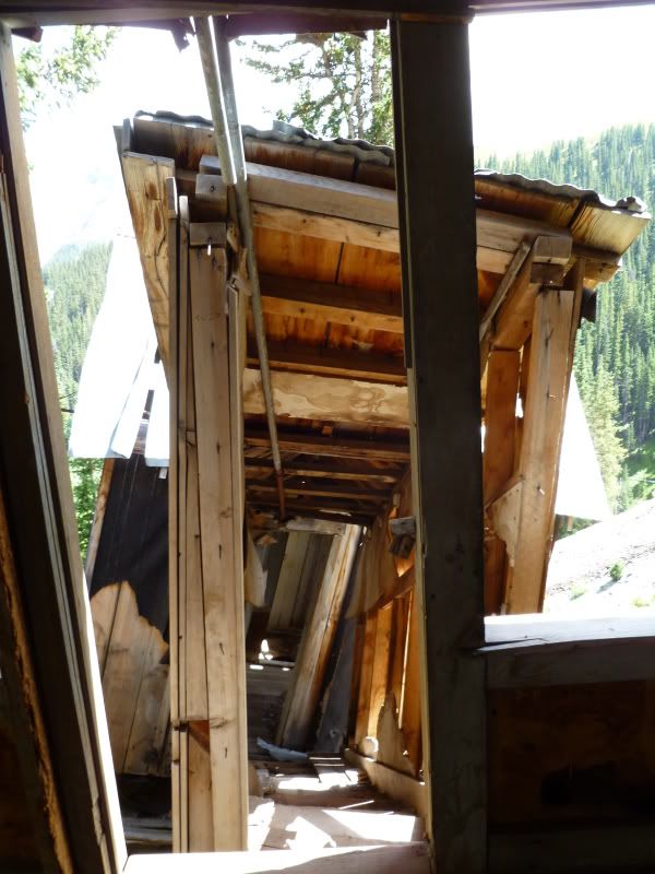
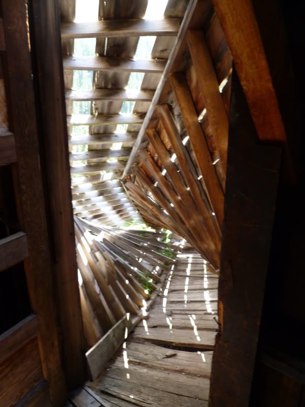
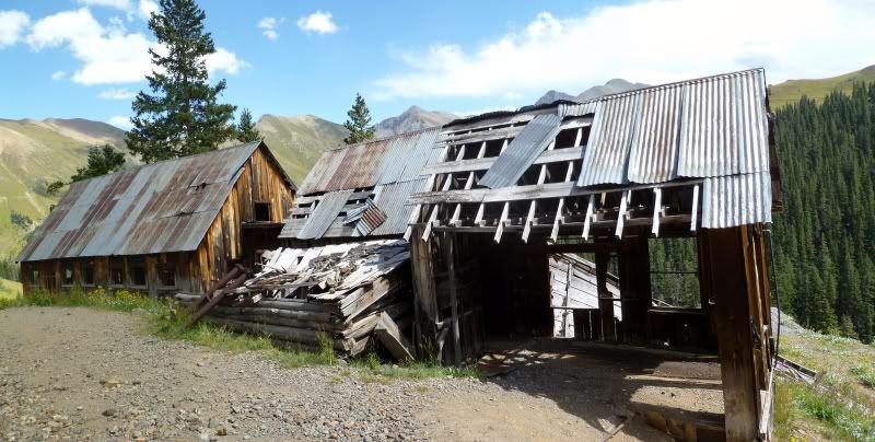
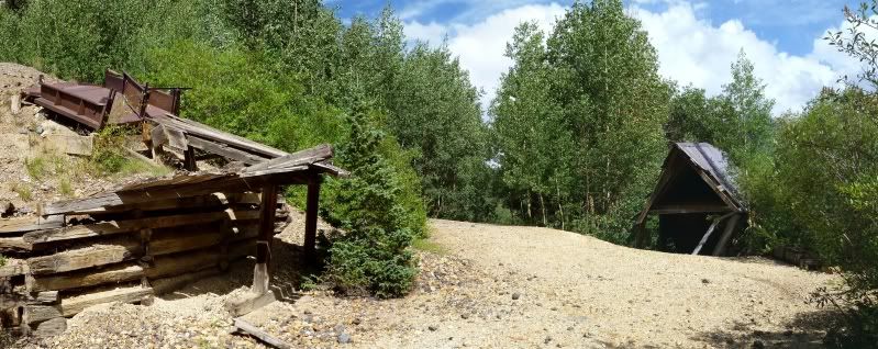
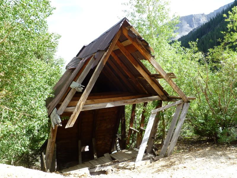
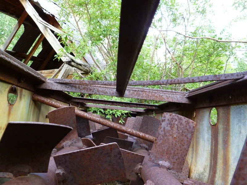
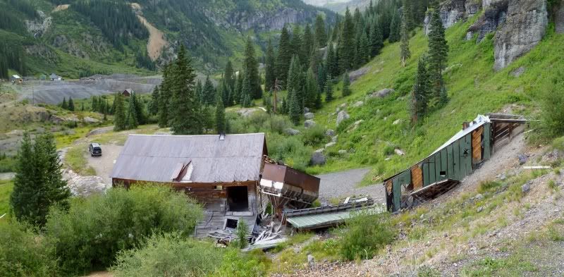
Old mining site on the way up Tomboy Road
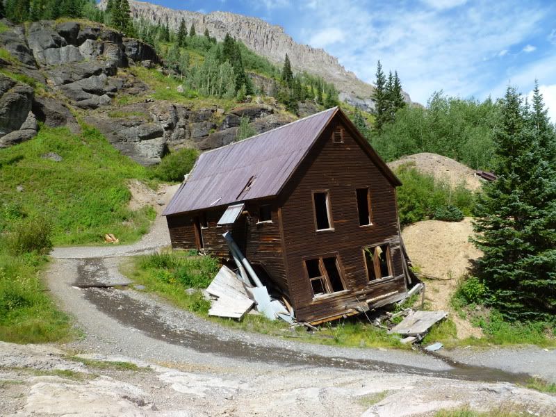
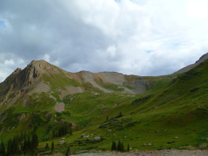
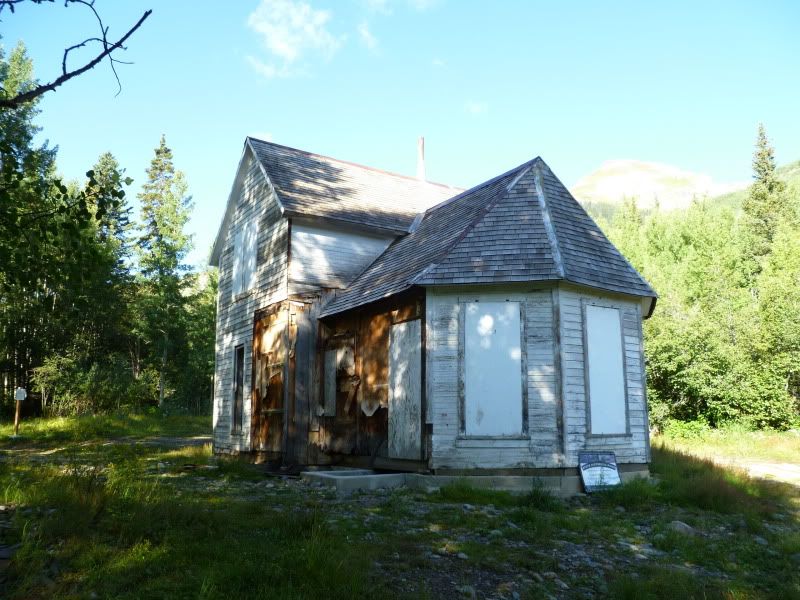
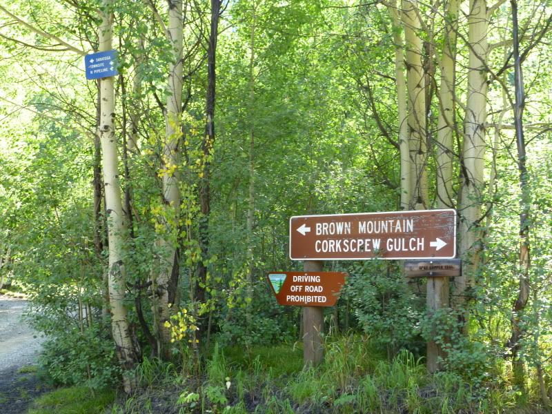
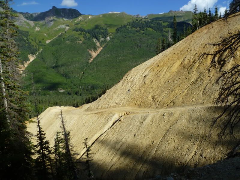
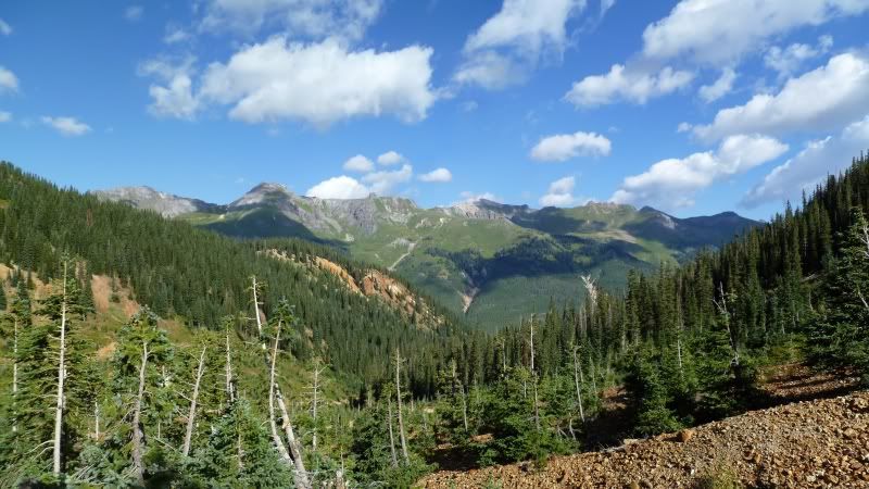
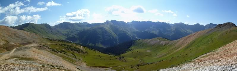
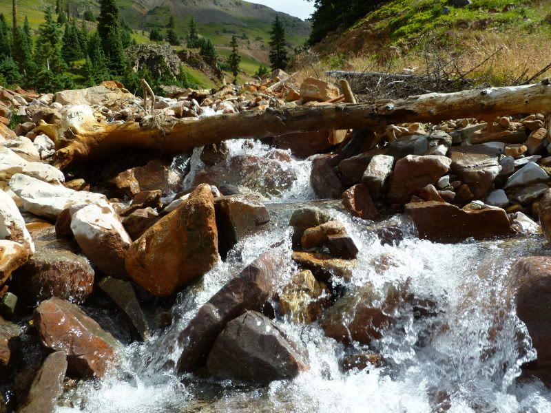
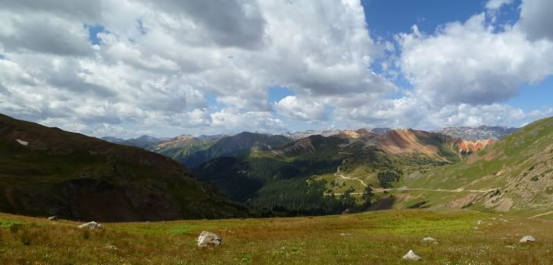
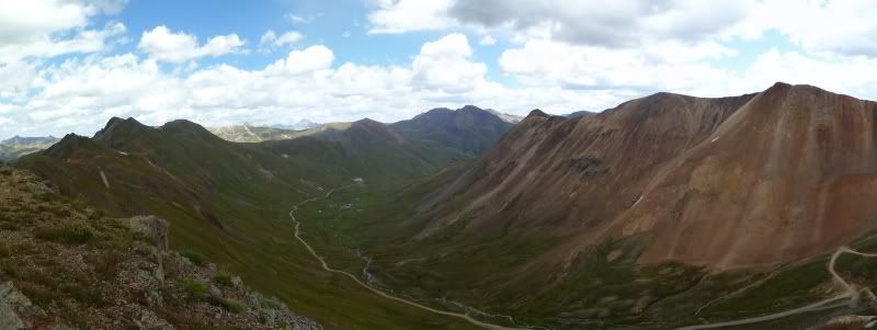
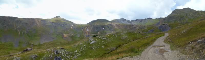
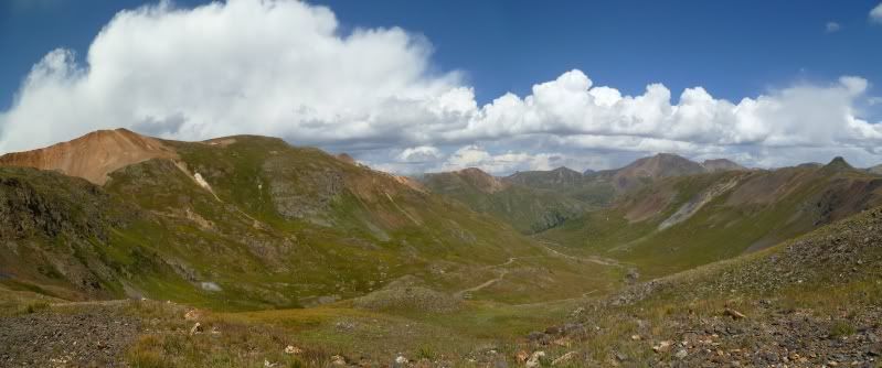
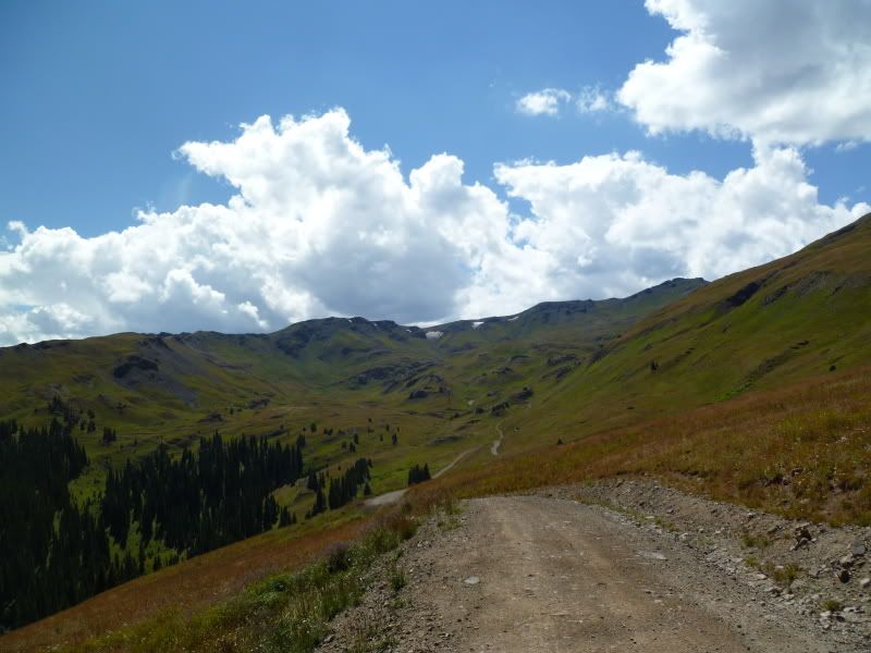
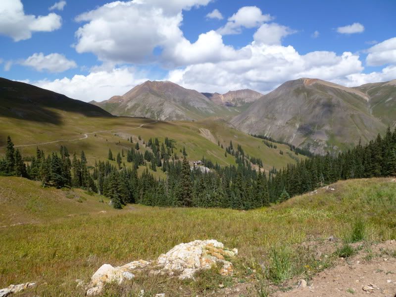
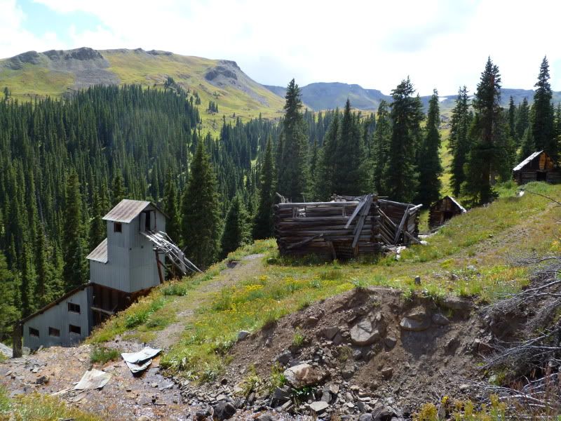
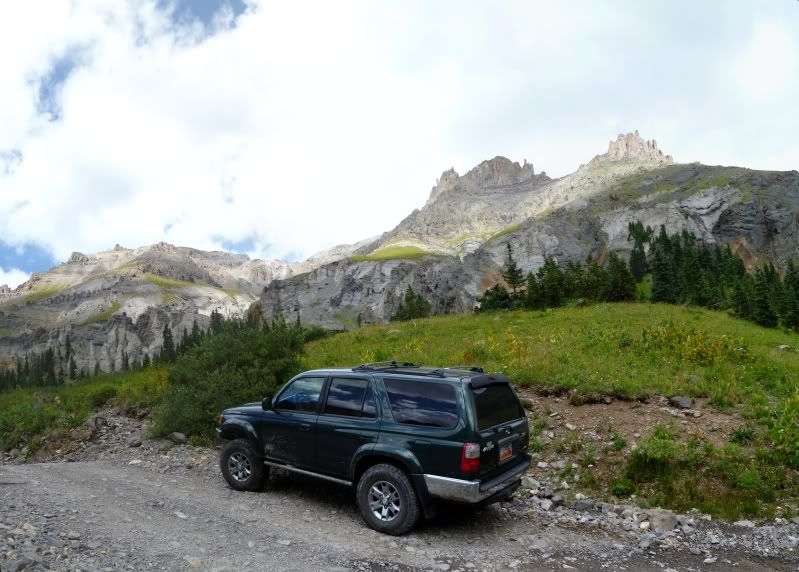
On the way up to Yankee Boy Basin
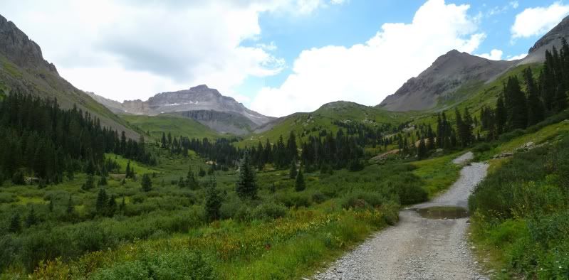
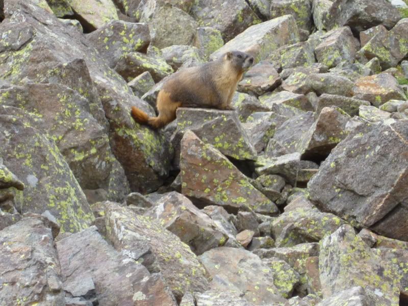
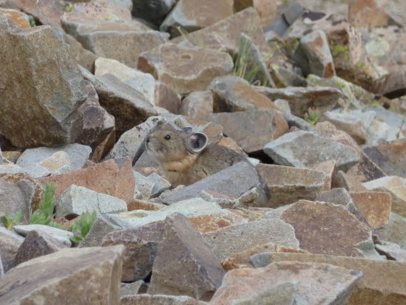
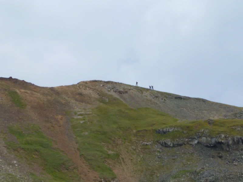
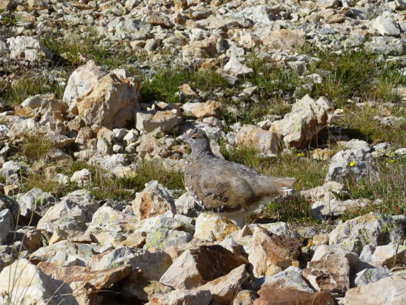
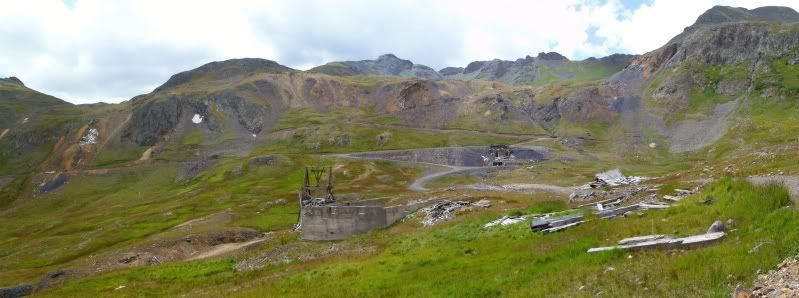
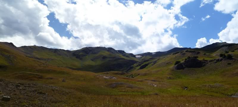
I had decided not to drive all the way up to the Yankee Boy Basin but decided to start out on one of the lower hiking trails. The lower trail is made up of a lot of loose rubble and in a few places finding the trail is a little hard but not overally difficult.
Looking back down the trail.
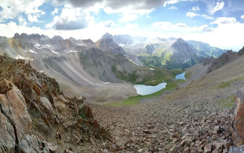
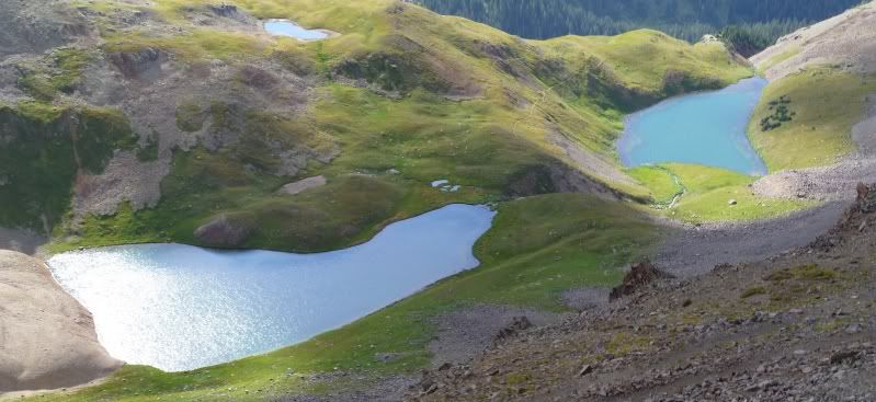
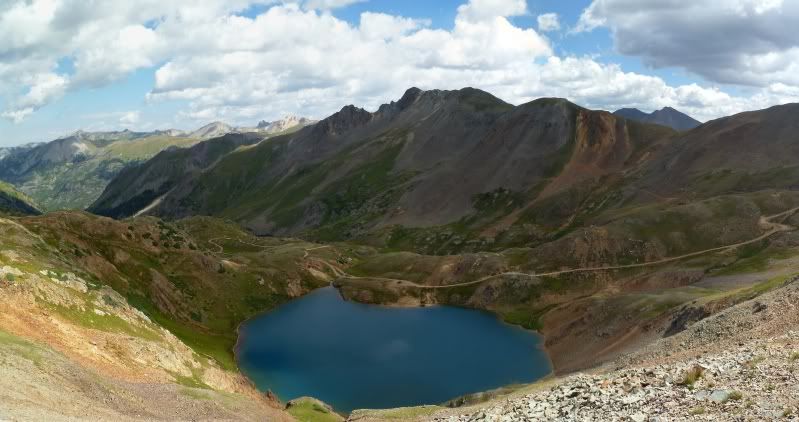
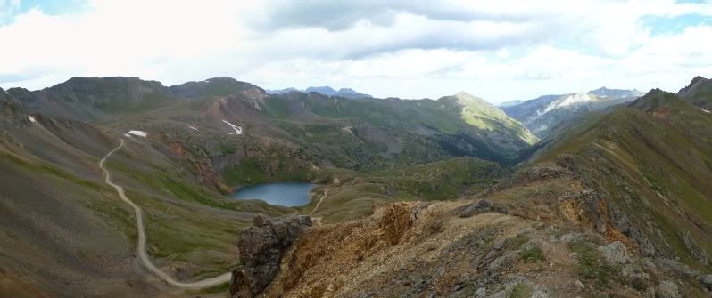
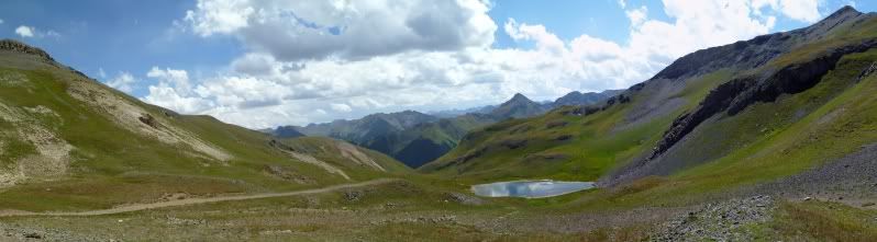
Small Alpine Lake
I had hoped that the side weekend trips to Montana and Idaho would help. Which they did but work was still in the back of my mind. About two months before hand I went ahead and signed off for an additional as there was talk of sending me to Kansas to assist with a construction for a couple of weeks and I wanted to make sure that I had ample time to prepare for the trip.
Needless, to say it didn't pan out but I still kept the time-off.
When the day came to pack for the trip and get things square out it just felt weird. I hadn't had a weekday off in who knows how long that wasn't a Friday. Maybe, it's because I've been used to going to store at night or on the weekends when everyone was out. It just felt strange!
When 4am rolled around Thursday morning it was the first time that I had started to feel some sort of relief from everything. I had hoped to be on the road by 5am to try and beat the traffic though the construction zones between Lehi and Spanish Fork. The last thing I wanted was to spend hours in the traffic though these zones. Thankfully, traffic didn't pose a problem.
I want to say by the time that I was heading south out of Price, Utah on Hwy 191 that I felt at ease with everything. As I drew near the San Juan Mountains my excitement started to grow knowing that I'd have four days away from it all.
I had planned to stay at the KOA again between Ridgeway and Ouray as I did in 2008 as it seemed like a logical place to setup camp; didn't really feel like setting up and breakup down a tent every day. The last time around I had camped at a spot near the main road but this I probable one of most remote sites that you can get at the KOA tucked up off a little side road in one corner of the campground.
I was hoping to be able to meet up with one of friends and his girlfriend from Arizona but knowing that cell service would be sketchy up here. I went ahead and tried. Surprisingly, a short time later I get a call and they had just came back into cell service so we planned to meet up at one of the local stores to chat for a bit before going our ways.
There's something to be said about meeting up with old friends and catching up some. Best of luck to you Tim and Danica. We'll have to meet-up again on another trip.
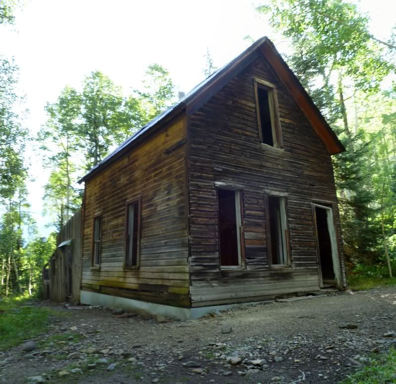
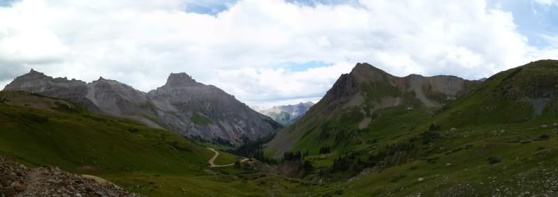
Once we part ways I headed up to Yankee Boy Basin to do a short hike up to Mount Sheffel's beforeing heading back to camp for dinner and to relax from the day.
Old mining site on the way up Tomboy Road
On the way up to Yankee Boy Basin
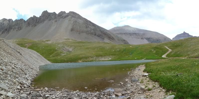
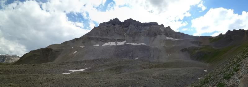
I had decided not to drive all the way up to the Yankee Boy Basin but decided to start out on one of the lower hiking trails. The lower trail is made up of a lot of loose rubble and in a few places finding the trail is a little hard but not overally difficult.
Looking back down the trail.
Small Alpine Lake
Last edited: