ITTOG
Well-known member
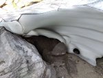
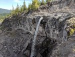
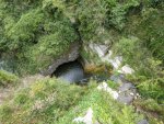
I found a cool little snow cave with vegetation growing under it.
![IMG_20190613_072349 2.jpg IMG_20190613_072349 2.jpg](https://expeditionportal.com/forum/data/attachments/485/485588-673e438600f5308d5209abd09fcff219.jpg)
![IMG_20190613_072402 2.jpg IMG_20190613_072402 2.jpg](https://expeditionportal.com/forum/data/attachments/485/485589-c317086f42a24a071d13758105cac0f9.jpg)
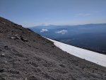
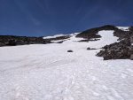
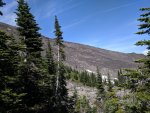
As you can see in this picture the trail is pretty steep.
![IMG_20190613_073412 2.jpg IMG_20190613_073412 2.jpg](https://expeditionportal.com/forum/data/attachments/485/485590-95661fc742954891c2a844a7a60797d0.jpg)
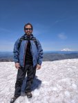
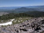
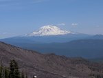
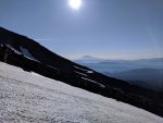
I didn’t mention it but I am obviously above the tree line now and have been for a while. Now I am getting my first glimpses at Mount Adams to the east.
![IMG_20190613_075756 2.jpg IMG_20190613_075756 2.jpg](https://expeditionportal.com/forum/data/attachments/485/485591-c7ec19672c003d2643d36da19bd4c74b.jpg)
![IMG_20190613_075805 2.jpg IMG_20190613_075805 2.jpg](https://expeditionportal.com/forum/data/attachments/485/485592-c1ad915268c4cac12cca5f49658b8e05.jpg)
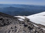
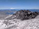
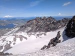
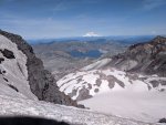
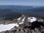
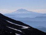
If you look closely in this panorama you can see Mount Adams just off the left ridge and Mount Hood in the center but very far away. If you have the ability to zoom you will be able to see another mountain to the right of Mount Hood. I am told this is known as the three sisters Mountains, which is over 100 miles away as the crow flies.
![IMG_20190613_080939 2.jpg IMG_20190613_080939 2.jpg](https://expeditionportal.com/forum/data/attachments/485/485593-0be17b0771aa0d261ceefbd0f042cb44.jpg)
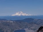
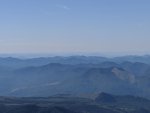
If you can't see three sisters above, possibly you can in this pic.
![IMG_20190613_083030 2.jpg IMG_20190613_083030 2.jpg](https://expeditionportal.com/forum/data/attachments/485/485597-663650970bd6f8c5a37f8a3be366dd5d.jpg)
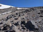
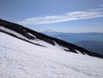
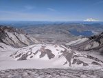
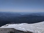
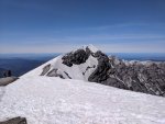
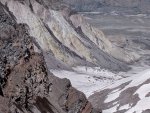
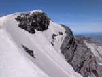
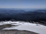
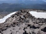
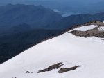
I began this hike in shorts, a t-shirt, and tennis shoes as it was about 70°. Now that I am above the snow line it has started cooling off but I am still pretty warm from the strenuous activity. It is starting to be less of a trail and more of just an open area. There is also starting to be a lot more gravel which really sucks. With every step in the gravel you lose some of your force due to your planted foot sinking and slipping. Where are the boulders? They are much preferred to the gravel.
![IMG_20190613_085706 2.jpg IMG_20190613_085706 2.jpg](https://expeditionportal.com/forum/data/attachments/485/485594-fcbf1da999fd0938f11053e68e430ea9.jpg)
![IMG_20190613_085715 2.jpg IMG_20190613_085715 2.jpg](https://expeditionportal.com/forum/data/attachments/485/485595-0da5bbcd519ba0081fc79d157f975ccb.jpg)
![IMG_20190613_085724 2.jpg IMG_20190613_085724 2.jpg](https://expeditionportal.com/forum/data/attachments/485/485596-586ab770870ea2626f9dd75bbeec3515.jpg)
![IMG_20190613_072349 2.jpg IMG_20190613_072349 2.jpg](https://expeditionportal.com/forum/data/attachments/485/485588-673e438600f5308d5209abd09fcff219.jpg)
![IMG_20190613_072402 2.jpg IMG_20190613_072402 2.jpg](https://expeditionportal.com/forum/data/attachments/485/485589-c317086f42a24a071d13758105cac0f9.jpg)
As you can see in this picture the trail is pretty steep.
![IMG_20190613_073412 2.jpg IMG_20190613_073412 2.jpg](https://expeditionportal.com/forum/data/attachments/485/485590-95661fc742954891c2a844a7a60797d0.jpg)
I didn’t mention it but I am obviously above the tree line now and have been for a while. Now I am getting my first glimpses at Mount Adams to the east.
![IMG_20190613_075756 2.jpg IMG_20190613_075756 2.jpg](https://expeditionportal.com/forum/data/attachments/485/485591-c7ec19672c003d2643d36da19bd4c74b.jpg)
![IMG_20190613_075805 2.jpg IMG_20190613_075805 2.jpg](https://expeditionportal.com/forum/data/attachments/485/485592-c1ad915268c4cac12cca5f49658b8e05.jpg)
If you look closely in this panorama you can see Mount Adams just off the left ridge and Mount Hood in the center but very far away. If you have the ability to zoom you will be able to see another mountain to the right of Mount Hood. I am told this is known as the three sisters Mountains, which is over 100 miles away as the crow flies.
![IMG_20190613_080939 2.jpg IMG_20190613_080939 2.jpg](https://expeditionportal.com/forum/data/attachments/485/485593-0be17b0771aa0d261ceefbd0f042cb44.jpg)
If you can't see three sisters above, possibly you can in this pic.
![IMG_20190613_083030 2.jpg IMG_20190613_083030 2.jpg](https://expeditionportal.com/forum/data/attachments/485/485597-663650970bd6f8c5a37f8a3be366dd5d.jpg)
I began this hike in shorts, a t-shirt, and tennis shoes as it was about 70°. Now that I am above the snow line it has started cooling off but I am still pretty warm from the strenuous activity. It is starting to be less of a trail and more of just an open area. There is also starting to be a lot more gravel which really sucks. With every step in the gravel you lose some of your force due to your planted foot sinking and slipping. Where are the boulders? They are much preferred to the gravel.
![IMG_20190613_085706 2.jpg IMG_20190613_085706 2.jpg](https://expeditionportal.com/forum/data/attachments/485/485594-fcbf1da999fd0938f11053e68e430ea9.jpg)
![IMG_20190613_085715 2.jpg IMG_20190613_085715 2.jpg](https://expeditionportal.com/forum/data/attachments/485/485595-0da5bbcd519ba0081fc79d157f975ccb.jpg)
![IMG_20190613_085724 2.jpg IMG_20190613_085724 2.jpg](https://expeditionportal.com/forum/data/attachments/485/485596-586ab770870ea2626f9dd75bbeec3515.jpg)
Last edited: