ITTOG's Overlanding Trips

ITTOG

Well-known member
My goodness I need to visit Canada
... and go overseas and win the lottery and buy a yacht.
I have been to Toronto, Winnipeg, Calgary, and Vancouver areas and by far, Calgary is the best. In fact, Calgary is probably the best in North America. By area I am talking those cities and most places within an hour of there. So by Calgary I am talking about the Banff National Park which is just an hour west. So, the park should be primary on your list. The next time I am in Calgary I want to drive to Revelstoke so I can see more of the park and areas just west of there.

PS Don't get a yacht when you win the lottery, 90% of what you see is nothing but water. That is pretty boring in my book.
 

ITTOG

Well-known member
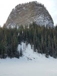
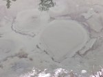
Back at the bottom you can see why it is called the Big Bee Hive.
IMG_20191101_134634.jpg

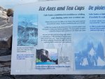
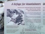
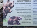
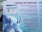
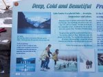
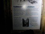
Then on my way out I took pictures of informational plaques near the hotel so I could read them later.
IMG_20191101_142008.jpgIMG_20191101_142025.jpgIMG_20191101_142200.jpgIMG_20191101_142211.jpgIMG_20191101_142309.jpgIMG_20191101_142318.jpg

After 12.6 miles and about six hours it was 2:27 PM and I had another 8 mile hike to complete. So I had to hit the road.
Lake Louise.PNG
 

ITTOG

Well-known member
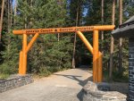
I don't know how, but I failed to take a picture of the entrance to Johnston Canyon and for some reason I wanted to start my story with it.
Johnston Canyon Entrance.jpg

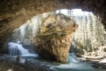
While finding the pic above I saw this one and had to include it because it is very cool and I didn't see anything like it when I was on the trail. I may have just missed it in my rush to get the hike completed before dark.
Johnston Canyon Horseshoe.jpg

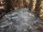
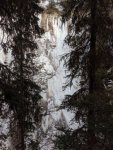
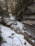
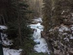
After entering you immediately cross a bridge and see the river. It was a bit iced over for this time of the year. The meandering river begins soon after the bridge.
IMG_20191101_155608.jpgIMG_20191101_160214.jpg

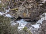
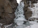
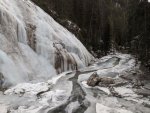
Just like the morning hike, there are frozen walls here as well. A lot of these are not waterfalls, merely just freezing snowmelt.
IMG_20191101_160523.jpgIMG_20191101_160722.jpg

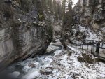
I really enjoyed the meandering way of the water and the canyon walls.
IMG_20191101_161047.jpgIMG_20191101_161203.jpg
 

ITTOG

Well-known member
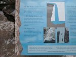
All the waterfalls were pretty cool and I thought this infographic was a good read.
IMG_20191101_161416.jpgIMG_20191101_162040.jpgIMG_20191101_163410.jpg

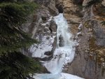
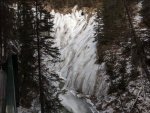
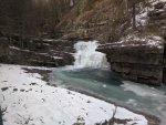
This one is a true waterfall. As you can see it was frozen solid. Or was it? When standing there you could hear the water like a freight train. Underneath all that ice was definitely a large amount of water still flowing over the edge.
IMG_20191101_163521.jpgIMG_20191101_163647.jpgIMG_20191101_164635.jpg

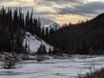
At the end of the river it was time to make a decision. Do I return to the car or do I go further, to the Inkpots. I probably chose wrong given it was getting late but I thought the Inkpots at the end of the trail would be cool. With a name like that I thought there may be an opportunity to see colored water. Stained by rock, or sulfur, or something. I couldn't wait to see how pretty it would be. The hike was pretty uneventful because of the dense trees but there was a couple opportunities to see this mountain in the distance.
IMG_20191101_172445.jpgIMG_20191101_173559.jpg
 

ITTOG

Well-known member
It was a bit of a let down once arriving because there was no color at all. Not even heat. Just a lot of springs.
IMG_20191101_174258.jpgIMG_20191101_174313.jpgIMG_20191101_174437.jpg

After the letdown I took a shot of the river by the springs and put the hammer down to get back before dark.
IMG_20191101_174854.jpg

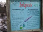
Well, I didn't make it back before dark but luckily I was on the main Johnston Canyon trail before dark so it was an easy hike. In fact, it was kind of cool to do the hike in the dark. A parting infographic on the trail that I missed on the way up.
IMG_20191101_191000.jpg

That was the end of a very long and cold day. I don't think it got above 15F.
Johnston Canyon Alltrails.PNG
 

nathane

Active member
Thanks for the pictures and reports, I'm enjoying following your travels. I had a great climbing trip up Johnstones Canyon one February back in the early 90s. Amazing ice stalagtite climbs up at the head of the canyon. Its a beautiful place. I'm very jealous!
 

ITTOG

Well-known member
Hoover Dam, Lake Havasu, and Red Rock Canyon- Dec 9 to 12, 2019

In my last trip for the year I was headed to a familiar place. One which I really don't care for. But this time would be different. This time I would get out of Vegas and see the surrounding areas!

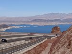
My first stop was just before the Hoover Dam so I could see Lake Mead from the highway. It is always interesting to see the white rock to see how low the water is. I guess it has been low for so long that this is probably the new pool level (the standard for the lakes normal level per design).
IMG_20191209_115603.jpg
IMG_20191209_115658.jpg

I decided to look up the lake level and it is well below the pool level so chances are they have never reduced the number. My pictures were from late 2019 which indicates the level was 1,085'. Thus the white in my pictures represents approximately 144'. Wow, I would have guessed it was only around 50' below normal!
Lake Mead Level.png
Source: http://mead.uslakes.info/level.asp

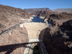
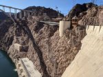
My next stop was the hoover dam. I have never been there even though I have been to Vegas four or five times. I thought it was several hours away so never even looked into going. I like how the new bridge allows you to walk across it and get a great picture of the dam, water behind it, and the canyon it is built in. Amazing pictures.
IMG_20191209_122942.jpg

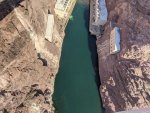
Looking straight down almost 900'.
IMG_20191209_122955.jpg
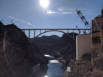
The Hoover Bridge bypass re-routes U.S. 93 traffic 1,700 feet downstream from the dam. It's suspended by a 1,060 foot, twin-rib concrete arch, the largest of its kind in North America, and is 1,900 feet long. The bridge is 890 feet above the Colorado River.
Source: www.desertusa.com/desert-activity/hoover-dam-bridge.html

I left the bridge and went to the dam to get the view the opposite direction.
IMG_20191209_125341.jpg

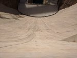
If you saw the movie Transformers then you saw the Decepticon fall down the dam.
IMG_20191209_125607.jpg

A pic of the visitor center.
IMG_20191209_125715.jpg

One last look at approximately 140' of white canyon wall.
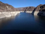
IMG_20191209_130131.jpg

Unfortunately that is it because I couldn't stay long as I had to get to Lake Havasu at a decent time.


Note, I still wonder about how low the water is. While it has been a while since I was there. It just didn't seem to be that far. But I was never down by the water????

To be continued...
 

ITTOG

Well-known member
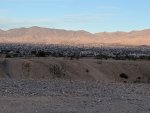
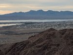
A couple hours later I made it into Lake Havasu. This is looking from the lake into town. It was relatively flat with a slight grade from the mountains to the lake. This made it so most homes had a decent view.
IMG_20191209_165105.jpg

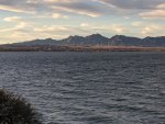
Looking across the lake into California. The eastern shores of the lake was in the mountain time zone and the western shores were in the Pacific time zone. This time of transition is common but never really thought about it until being right there along the transition.
IMG_20191209_165311.jpgIMG_20191209_174609.jpg

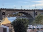
The famous London Bridge that was moved to Lake Havasu by
IMG_20191210_154833.jpg
London Bridge is a bridge in Lake Havasu City, Arizona. It was built in the 1830s and formerly spanned the River Thames in London, England. It was dismantled in 1967 and relocated to Arizona. The Arizona bridge is a reinforced concrete structure clad in the original masonry of the 1830s bridge, which was purchased by Robert P. McCulloch from the City of London. McCulloch had exterior granite blocks from the original bridge numbered and transported to America to construct the present bridge in Lake Havasu City, a planned community he established in 1964 on the shore of Lake Havasu. The bridge was completed in 1971, and links an island in the Colorado River with the main part of Lake Havasu City.
Source: http://en.wikipedia.org/wiki/London_Bridge_(Lake_Havasu_City)

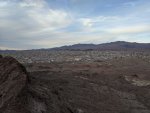
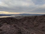
I had long days at work so I didn't have much time to Hike in Lake Havasu but I did get a short one in on the south end of the lake. I hiked to Lizard Peak and the lake. The hike began in a wash so it was pretty level but the sand was so deep it made it a little difficult. The views from the wash was decent though.
IMG_20191210_155912.jpgIMG_20191210_155913.jpg
IMG_20191210_155922.jpg

After about 20 minutes in the wash it was time to start the climb.
IMG_20191210_162131.jpgIMG_20191210_164058.jpgIMG_20191210_164114.jpg


To be continued...
 

ITTOG

Well-known member
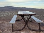
After about 45 minutes you get to the top!
IMG_20191210_164351.jpg
IMG_20191210_164133.jpgIMG_20191210_165646.jpg

As I was getting closer to the car the moon was starting to come up behind this small peak.
IMG_20191210_171822.jpgIMG_20191210_171831.jpg

To be continued at Red Rock Canyon...
 

ITTOG

Well-known member
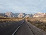
After my work was finished I got back to Vegas around 10 PM that night. It was time to get ready to go to the Red Rock Canyon the next morning. This is the drive into the park, before reaching the park gates.
IMG_20191212_073758.jpg

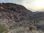
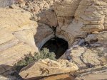
Once you enter the park there is a few lookout points to enjoy. I believe these are from the first stop.
IMG_20191212_075848.jpgIMG_20191212_080117.jpg

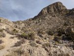
The main trails begin at the third stop but since there was a trail from stop 2 to stop 3 I decided I would begin at stop 2. Might as well maximize the hiking distance. To begin the hike you start by hiking down into a small canyon. It might classify as ravine, ditch, etc. I would guess it was about 100' below the road. You eventually hike back up to the road level at the thirds stop and then begin climbing above the road not long after that.
IMG_20191212_080241.jpg

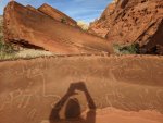
This was on a giant boulder that you could tell fell off the mountain side. I am not sure how these carvings got on the rock.
IMG_20191212_082919.jpg

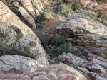
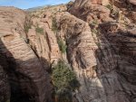
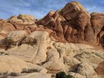
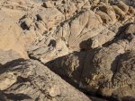
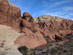
The different colors of the rock were really cool and then to see how they were layered differently along the mountainside was even cooler.
IMG_20191212_084543.jpg

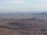
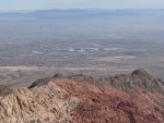
It didn't take me long to reach the top of the first trail. From it, way off in the distance is Vegas behind a layer of pollution.
IMG_20191212_092529.jpg
IMG_20191212_092541.jpg

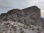
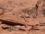
Interestingly the first trail didn't end at the top of the mountain. So I found a way to climb in a crack in the rock to the very top. You can see a part of the crack in the bottom right of the picture. It was still early so not many people were out yet. In the middle of the picture is a few people at the end of the trail. They saw me at the top and had to find out how to get up there. So I told them and left before seeing them attack the climb. This way if they attempted it and were hurt I would never know.
IMG_20191212_093422.jpg

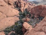
There were several pools of water at the top. This one was about 20 feet down to the water level. I couldn't tell how deep the water was but it looked deep.
IMG_20191212_093614.jpg

To be continued...
 

ITTOG

Well-known member
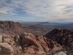
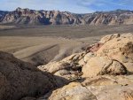
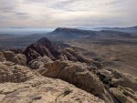
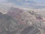
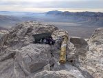
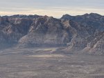
Looking across the valley of the park to the mountains on the other side.
IMG_20191212_093643.jpg

You can see the road inside the park and the first two stops in this pic.
IMG_20191212_093717.jpg

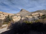
On my way back down I spotted the next climb. It was called Turtlehead.
IMG_20191212_101052.jpgIMG_20191212_105354.jpg

It wasn't much elevation gain but it was a difficult trail. I wanted to quit at this point but of course did not.
IMG_20191212_113611.jpg

Looking at Vegas again.
IMG_20191212_115441.jpg

This is looking towards the first peak I hit, right in the center of the picture where the white rock is.
IMG_20191212_115616.jpg
IMG_20191212_115624.jpg

I made it to the top and there was a couple up there having lunch.
IMG_20191212_121032.jpg

Another pic looking across the valley of the park.
IMG_20191212_121343.jpg

To be continued...
 

ITTOG

Well-known member
Beautiful pictures...thanks for sharing!
Thanks for the kind words.


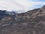
Not too far away was a nice snowcapped mountain. I was told this was Mount Charleston but when looking at a map Mount Charleston looks too far away. I think it is either Griffith Peak or Harris Mountain. They are a little over 11,000' and 10,000' respectively so I would expect both tall enough for snow in December.
IMG_20191212_121410.jpg

This is from the top of Turtlehead peak/trail looking straight down. Given it is straight and you can't see the wall or much color change it doesn't look as high as it was.
IMG_20191212_121458.jpg

You can go down either side of this monolith. I came up the left side, which I was told was much harder. Thus I went down the easy right route. It looked like it was way easier.
IMG_20191212_123702.jpgIMG_20191212_124954.jpg

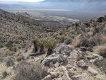
Almost back to the car here. I enjoyed the vegetation in the bottom of the small canyon.
IMG_20191212_133052.jpgIMG_20191212_133431.jpg

A bunch of rock climbers enjoying the afternoon.
IMG_20191212_134900.jpg

To be continued...
 

ITTOG

Well-known member
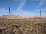
This is from the other side of the park looking at the trails I climbed. In the second picture you can see the two peaks I climbed right below the two black lines.
IMG_20191212_143750.vr.jpgIMG_20191212_145013.jpgIMG_20191212_145032.vr.jpg

That was the end of a rather short day, but very tiring. For a guy that pushes hard to complete hikes very quickly and pushes my body, this hike felt very lackluster. I don't know if the issue was the lack of sleep and it being a long week or not but I was happy it was done.
Alltrails.PNG


All pictures were taken with my Pixel XL.
 

ITTOG

Well-known member
Next week I am going on a 6 day backpacking trip in the Grand Tetons. So it won't be long before another trip report. I am just a little excited.
IMG_20200815_122617.jpg
 
  • Like
Reactions: MCX

Forum statistics

Threads
188,296
Messages
2,905,077
Members
229,959
Latest member
bdpkauai
Top