ITTOG's Overlanding Trips

1000arms

Well-known member
Next week I am going on a 6 day backpacking trip in the Grand Tetons. So it won't be long before another trip report. I am just a little excited.
Enjoy! Oh, please leave your grinder home. :cool:

Side note: Hiking in the Tetons, hiking in the Teton Range, hiking in Grand Teton National Park, but there is only one Grand Teton mountain.
 

ITTOG

Well-known member
Enjoy! Oh, please leave your grinder home. :cool:

Side note: Hiking in the Tetons, hiking in the Teton Range, hiking in Grand Teton National Park, but there is only one Grand Teton mountain.
Yeah, good point. I do plan to summit the Middle Teton. I don't have the rock climbing skills or gear for the Grand Teton.
 

1000arms

Well-known member
Next week I am going on a 6 day backpacking trip in the Grand Tetons. So it won't be long before another trip report. I am just a little excited. ...
Enjoy! Oh, please leave your grinder home. :cool:

Side note: Hiking in the Tetons, hiking in the Teton Range, hiking in Grand Teton National Park, but there is only one Grand Teton mountain.
Yeah, good point. I do plan to summit the Middle Teton. I don't have the rock climbing skills or gear for the Grand Teton.
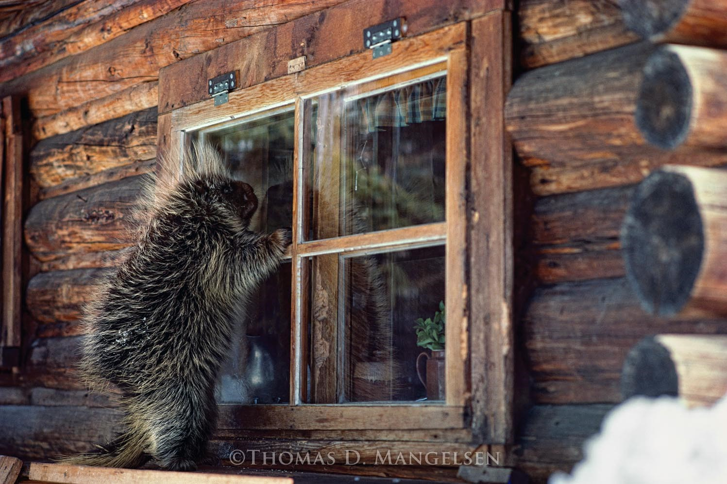
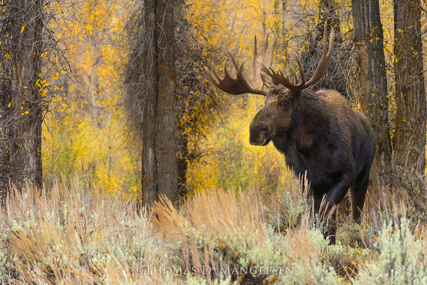
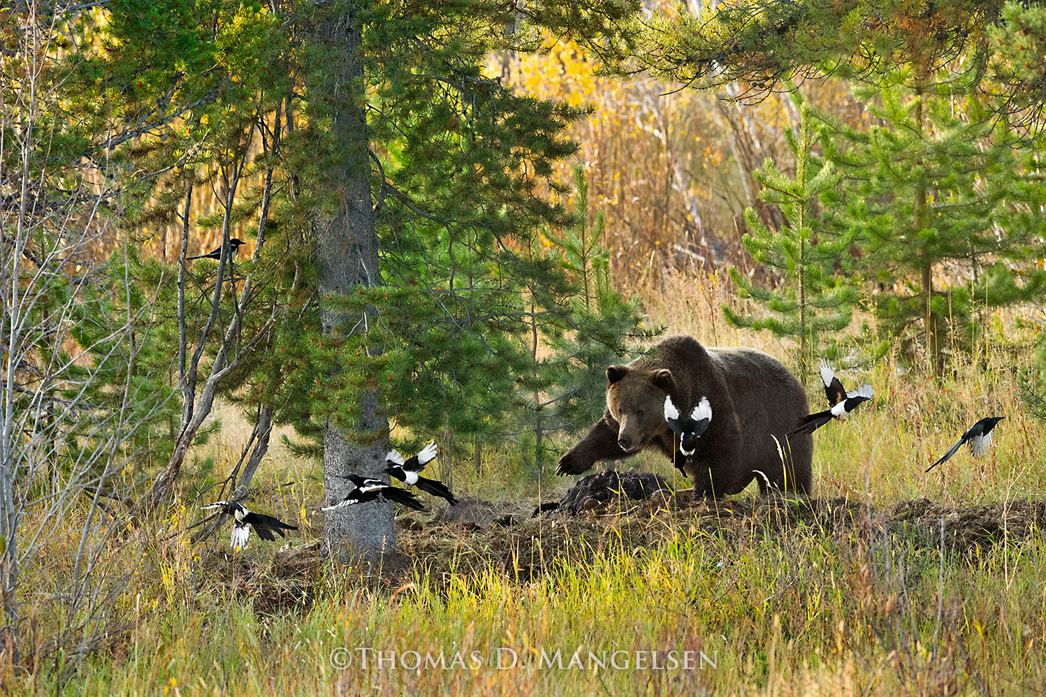
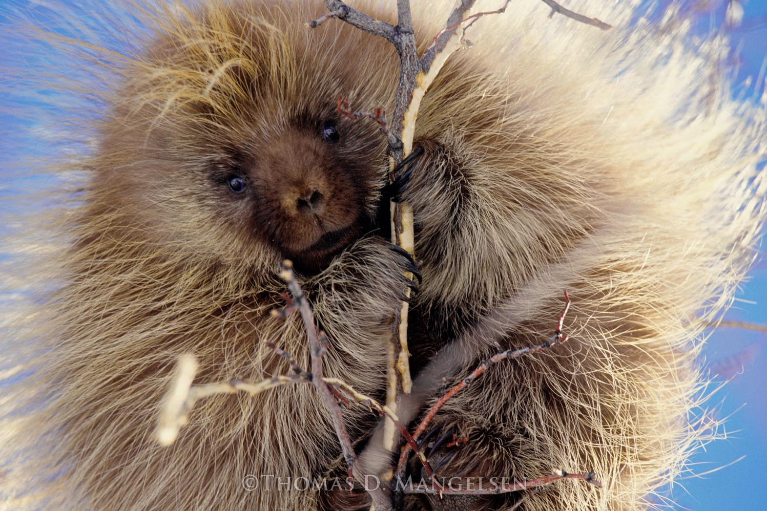
Let me help increase your trip anticipation. :cool:

See Tom Mangelsen's photographs:


Last edited:

ITTOG

Well-known member
The Tetons "Granite Canyon and Teton Crest Trail Loop" and "Middle Teton Southwest Couloir Summit" - August 22 - 28, 2020

August 22

A friend was going on this trip with me and we both flew in on Saturday because we had to go by the Ranger station to get our permits for camping. We purchased our airline tickets well in advance, probably late 2019 but definitely before COVID-19. When COVID began it was interesting to watch our flight schedules because they changed at least five or six times during the run up to the trip. David ended up getting moved to an earlier arrival and mine was delayed a bit. So luckily nothing that caused complications with the backpacking plans.

Unfortunately when we arrived the view was not very good due to all the fires in California. It was a real downer given it would impact our view and photos negatively.

My friend ended up arriving early enough to get the permits before I landed. So once I arrived the only thing we had to do was go by JD High Country Outfitters, outdoor store, to buy fuel for the jet boil and go by our hotel to pick up two bear spray cannisters they said we could use. So we had most of the day free to check out Jackson and the surrounding area. Once that was done we headed to Liberty Burger so my friend could eat and I had a beer.

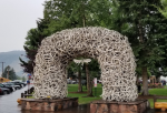
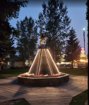
Jackson square was interesting with the antler arches on all four corners. Neat but it only takes a minute or two before you move on. There was a nice monument in the middle of the square recognizing the area's veterans. We walked around the town for a couple hours to check out all the typical ski village businesses: chocolate store, check; ice cream store, check; art store, check; etc.
2020-09-18 07_28_49-Window.png2020-09-18 07_28_05-Window.png

We drove to Grand Teton National Park so I could see some of the sights and get a better feel of the layout before the hike. It was a beautiful area. We saw a herd of elk but it was a long way from the road so we couldn't see them very well. The excitement to begin the hike was already high but seeing the park and elk raised it to a much higher level. Oh the anxiety to get started!

Dinner was at the Roadhouse Pub and Eatery. Well, a liquid dinner. I had a couple beers and my friend had some water. I guess I wanted to toxify a bit before the week long hike. ;)

Our hotel for the night was more like a motel but it gave us a good last night of sleep in a bed. It also was a good place to do a final look and review of our gear and packing our backpacks. We actually did most of this earlier in the day when we checked in. We went to bed at a decent time because both of us was up late the night before and only got about 4.5 hours sleep and we were getting up at 6 AM to get to the trailhead.

A lot more (the good stuff) to come...
 
Last edited:

greg.potter

Adventurer
Great trip reports!
I especially enjoyed seeing you enjoy the Lake Louise area. I spent a few years in the late 70's and early 80's living there. It is a very special place. It always amazes me how you can be at the lake, arguably one of the most visited tourist destinations in Canada, and once your are more than an hour away from the parking lot you hardly see anyone.
And the desert southwest - my favorite place for a spring respite from our cold Canadian winters!
There are just so many amazing places in this world to see!
 

ITTOG

Well-known member
Great trip reports!
I especially enjoyed seeing you enjoy the Lake Louise area. I spent a few years in the late 70's and early 80's living there. It is a very special place. It always amazes me how you can be at the lake, arguably one of the most visited tourist destinations in Canada, and once your are more than an hour away from the parking lot you hardly see anyone.
And the desert southwest - my favorite place for a spring respite from our cold Canadian winters!
There are just so many amazing places in this world to see!
Thanks for the kind words. I love the national park and would love to live there for a few years.
 

ITTOG

Well-known member
The Tetons "Granite Canyon and Teton Crest Trail Loop" and "Middle Teton Southwest Couloir Summit" - August 22 - 28, 2020

August 23

The route for the day is to take us from the String Lake trailhead to the Platform campsites. The trails along the route are String Lake Trail, Jenny Lake Loop, Cascade Canyon Upper Trail, Cascade Canyon Trail, Hidden Falls Horse Trail, Amphitheater Lake Trail, and Garnet Canyon Trail.
Day 1 Hike.png

We stopped at a convenience store before driving to the trailhead. I was happy to see my friend buy a cop's breakfast. Contrary to the younger generations opinions, especially the entitled group, we don't do enough for our military and first responders. Great job!

Our goal was to get to the campsite every day by mid-afternoon so we had time to check out the area, get camp set up, and have time to enjoy the evening. So we got up early and hit the trail about 7:20 AM. We would have been on the trail earlier but we had problems with the key fob on the Ford Fusion we rented. We tried to leave the fob in the car and only take the key. Unfortunately no matter where we put the key inside the cabin and trunk it wouldn't let us lock the car. So after a few minutes we had to bring the key fob with us. If anyone had that on video it would have been much funnier than it sounds written out.

There's a happy backpacker ready to get started.
IMG_20200823_072344.jpg

No matter the angle, the area was absolutely beautiful.
IMG_20200823_073710.jpg

It was about 8:30 in this pic and was during one of the climbs. I took voice notes and about this time I mentioned I was about 2.5 miles into the hike and already feeling my fifty-five pound backpack. That seems a bit ominous.
IMG_20200823_083817.jpg

This is at Inspiration Point. It is 8:55 AM after 3 miles of hiking and is at 7,200'. So we had only climbed 300'. It felt like much more. All the smoke definitely shows in this picture but it was significantly better than yesterday.
IMG_20200823_085452.jpg

Still at Inspiration Point looking down at one of the many creeks with snow and glacier melt. It was nice because you could hear the running water in the distance.
IMG_20200823_085527.jpg

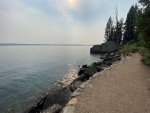
I didn't like the fact the trail took us up 300' and then back down. It felt like such a waste of effort. I think I was contemplating throwing some of my food and gear into the lake to lighten the pack. As you can see, the pack is as big as me.
IMG_20200823_094900.jpg

I was excited to see my first wild animal. Okay, this guy wasn't what I was really hoping for. LOL. These guys were everywhere and you could tell they didn't mind people because I was within a couple feet of him.
IMG_20200823_092629.jpg

A short trip off route and we were able to see Hidden Falls. It was awesome. Get ready, I love waterfalls and there were a lot.
IMG_20200823_093135.jpg

Once we started climbing the mountain we had to separate because our pace was too different and it hurt my hips and knees to go at a pace below what I am comfortable with. Not sure why but I guess it is due to step length or cadence. So when we split up I would hike to the next intersection and wait for my friend. Well, the first time I timed how long I waited was over a 1.2 mile stretch in the switchbacks of Amphitheater Lake Trail and I waited 40 minutes. It took my 45 minutes to do it. But it was good we separated because it allowed us both to go at our own pace and be comfortable. On the switchbacks the entire area on the bottom of my foot on both feet went to sleep. I have an issue on my left foot in the ball and big toe area being permanently numb since October 2019 but never the entire foot. So I started playing with pack positioning and belt tightness. Eventually things returned to normal once I started holding some of the pack weight with my hands.

This is of Bradley and Taggert Lake. It was taken somewhere within the switchbacks mentioned above.
IMG_20200823_130051.jpg

To be continued...
 
Last edited:

ITTOG

Well-known member
Just after turning off the Amphitheater Trail the trail turns WNW and opens up so you get a great view of Garnet Canyon. The mountain in the middle is the South Teton. On the right is the middle Teton.
IMG_20200823_145200.jpg

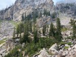
A lot of the granite walls were straight up.
IMG_20200823_145724.jpg

A shoutout to @JerryYukonMontanaTanner on Expedition Portal for showing that flora is worth photographing. So I made it a point to capture it on this trip. This one isn't that great but there are some much prettier.
IMG_20200823_145741.jpg

Camp is across the creek in the trees in the top left corner of the pic. Just like we wanted, I arrived into camp mid-afternoon; a little before 3:30. My friend was about 45 minutes behind me.
IMG_20200823_152228.jpg

Here you can see our tents set up across the creek. For those that know you are not supposed to camp near water, this was a designated camping spot so it was legal.
IMG_20200824_101800.jpg

The water crossing by camp was great. It provided plenty of water for cleaning, cooking, and hydration. It was dropping quite a bit in the area so it was very loud. This is only about 50' from camp so the sound did a great job replacing my fan.

Sleep Improver
If anyone can tell me how to imbed the video I would appreciate it. Every time I try it fails. Probably a size issue but not sure. The video is 70 MB. What is the max size allowed?

The recorded statistics for the day are as follows.
Mileage: 10.3
Altitude Gain: 2,875
Duration: 8:57

Note the images at the start of the day is based on a planned route. Sometimes we found shortcuts that the plan did not include so it changed trip length and altitude gain.
 

ITTOG

Well-known member
The Tetons "Granite Canyon and Teton Crest Trail Loop" and "Middle Teton Southwest Couloir Summit" - August 22 - 28, 2020

August 24

The route for the day is to summit the Middle Teton and return to camp. The trails along the route are Garnet Canyon Trail, South Middle Saddle Trail, Middle Teton Southwest Couloir Summit.
Day 2 Hike.png

The big day for summiting the Middle Teton is here and it started a bit somber. Actually, it started the night before while reflecting on how the day went and that reflection went directly to the pain I had in my feet. Due to those problems I was not in a hurry to leave camp. In fact I even had doubts about being able to make it. For those that know me, that is a huge statement. I am a very confident person that truly believes I can do anything I put my mind to. Words like attempt and doubt are just not in my vocabulary. I don't want to sound conceited but I am just a very confident person that would rather fail than not try. So… I was in no hurry and spent some time talking to David since he was going To Amphitheater Lake. Thus, we were going different directions for the day. Eventually, and because my feet were feeling normal, the confidence was building and I left camp about 8:20 AM. Just a few minutes outside of camp I had a decent view of most of the path to the top. In the next pic I show the basic path. As can be seen from the pics almost the entire trail is rocks and boulders. The section of the path pointing to the top left of the pic is actually hidden behind the mountain and cannot be seen from this vantage point.
IMG_20200824_082538.jpg

IMG_20200824_082538  inked.jpg

Did I mention I like waterfalls? Sometimes I wonder which I like more, what I see or what I hear.
IMG_20200824_083321.jpg

IMG_20200824_084100.jpg

IMG_20200824_084134.jpg

Luckily I did not have to traverse much snow .There were just a few patches and luckily were not very steep so no crampons or ice pics were needed.
IMG_20200824_101826.jpg

Boulders, snow, scree (gravel), repeat.
IMG_20200824_101838.jpg

The last little push to make the middle saddle before the difficult climb to the top. The middle saddle is the point where the trail turns northeast on the trail map and sits between the South Teton and Middle Teton.
IMG_20200824_105330.jpg

Once reaching the middle saddle I sat down to take in the views and enjoy some food to increase energy levels. While eating I made a couple trail buddies, Trevor and Evan, and we decided to summit together for safety. From the saddle you can see pretty far to the west. If there wasn't so much smoke, the views would have been even better.
IMG_20200824_115442.jpg

This video gives you a pretty good overview of the views from the middle saddle. The video starts towards the west and pans clockwise. The body of water is Icefloe Lake.

To Be Continued...
 
Last edited:

Todd780

OverCamper
Great pictures and write up! Thank you for not putting it in video format. Looks like a beautiful area.
 

ITTOG

Well-known member
This is the path to the top. It is very steep and difficult terrain. It is mainly scree and boulders, about 97%, but there was a short section of snow, that was much flatter than what can be seen in this pic, and one short section of pretty flat dirt. It was so steep that rocks would begin sliding downhill with most steps you take. The Alltrails app indicates numerous sections are over 70°.
IMG_20200824_150115.jpg

Not far up the trail looking back at the middle saddle.
IMG_20200824_120802.jpg

Looking back at the South Teton.
IMG_20200824_120805.jpg

In a couple areas the trail funnels you into narrow sections that become very steep. In this pic you are looking at a couple of boulders that create an almost vertical wall. This area is very difficult to climb and may have been a turning point if climbing alone.
IMG_20200824_122155.jpg

The final part of the climb had several good views but it was steep and I was excited so I didn't take the time to get my phone out for pictures until I reached the top. I reached the summit about 1 PM and began enjoying all the sites. I figure I could shave an hour off that time if I did not stay with my trail buddies but safety was definitely more important than time. It was nice to see a geological survey medallion at the top. Other summits I have completed did not have a survey medallion.
IMG_20200824_130358.png

At the top I had cell service on my phone for the first time in two days and a text I tried to send to my wife at the start of the hike finally went through. Almost immediately she called me and I was able to enjoy the experience with her. She was just glad I was still alive because she believes I am so focused on summiting that I ignore safety issues. I don't know where she comes up with these opinions. Somebody had made a sign and left it at the top so we all used it to commemorate the moment.
IMG_20200824_134946.jpg

This was definitely the hardest hike I had ever completed. Not only were there areas where it was extremely difficult but the difficult areas were much longer than any I had experienced before. So making it to the top was definitely an adrenaline rush. In this pic you can see Garnet Canyon all the way to Bradley Lake and a small part of Taggart Lake. This is the canyon the trail to the top is in.
IMG_20200824_133559.jpg

South Teton again.
IMG_20200824_133624.jpg

Just to the east is the Middle Teton Glacier.
IMG_20200824_133918.jpg

It had a pretty large crevasse in it. I would love to know how wide and deep.
IMG_20200824_133926.jpg

To be continued...
 

ITTOG

Well-known member
Heading back down gave a few different perspectives.
IMG_20200824_140921.jpg

Here you can see some of the scree and boulders.
IMG_20200824_140925.jpg

The area in this pic has trails from the ID side.
IMG_20200824_140933.jpg

I thought this was cool. The rock on top is cutting a good sized groove in the bottom rock as it moves.
IMG_20200824_145120.jpg

On my way down I noticed the temperature drop about 10 degrees really quickly. I looked up and could see some clouds moving my way but kept going. A few minutes later it dropped another 10 degrees. I knew a storm was coming so I stopped and put on my rain gear. It was pretty violent for about 15 minutes. However the impact lasted at least an hour as everything became very slick, especially the boulders. This made the descent a bit treacherous until the sun came out and dried the boulders.
IMG_20200824_152002.jpg

Once the rain stopped and the sun dried the rocks I was able to move fairly quickly but came across several places where I could hear water below me. This was the first time I heard it while on snow.
IMG_20200824_154405.jpg

In this video you can see and hear the water moving below me.
https://vimeo.com/user95703995/review/461428659/2fe27183b8

In this video I am back on solid ground. I noticed at the end there was a small pool of water.

…and more waterfalls.
IMG_20200824_163012.jpg

IMG_20200824_165807.jpg

IMG_20200824_171121.jpg

I was pretty tired after the hike. Some people start at the bottom of the mountain. Alltrails indicates from the bottom it would be 12.7 miles roundtrip and 6,040' of elevation gain. The additional distance and elevation gain wouldn't have been nearly as hard as the part I did but it would have definitely made it much more difficult/strenuous.

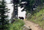
Back in camp, my friend and I talked about our days. He came across a black bear on the trail and saved someone coming around a blind corner from walking right on top of the bear. The video looked like a pretty cool experience. This made me a bit disappointed to not have been with him as I was wanting to see a bear. This is a pic from his video. The lady came around a corner and the bear was obscured by the rock on her left.
Saved a Life.png

The recorded statistics for the day are as follows.
Mileage: 6.2
Altitude Gain: 3,850'
Duration: 7:48
 
Last edited:

Forum statistics

Threads
188,291
Messages
2,904,968
Members
229,961
Latest member
bdpkauai

Members online

Top