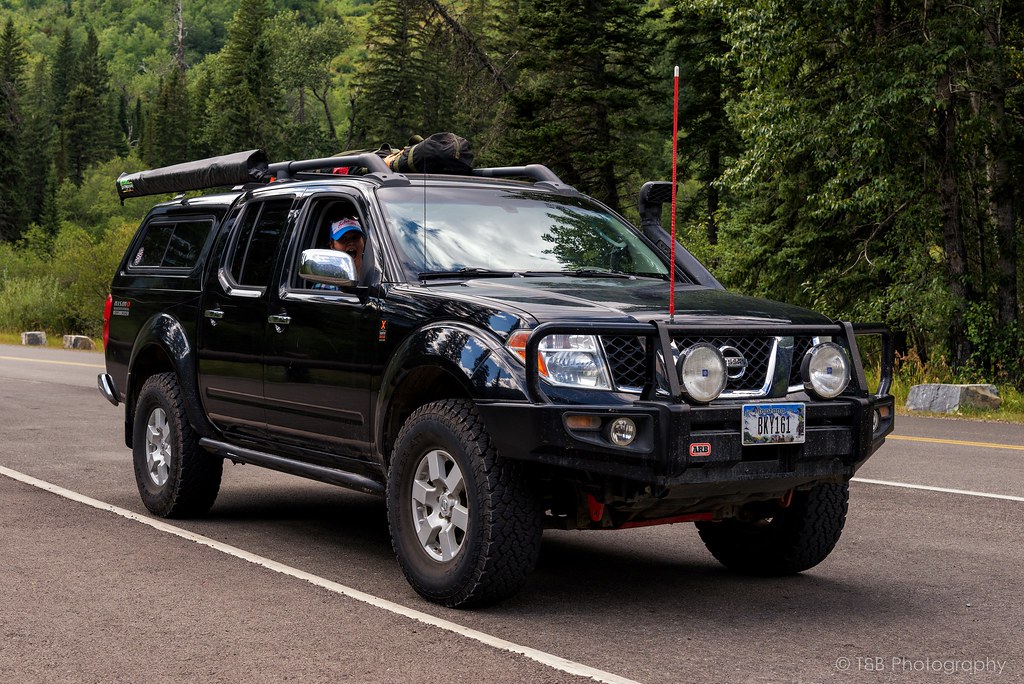
"Lola" - WreckDiver1321's 2005 Frontier CC/SB Nismo Build and Adventure Thread

wreckdiver1321

Overlander
Parts links would be great! Thanks man. I'm also digging the grab handle ram mount, might need to steal that idea for the Xterra, as well.

I'll see what I can do about taking a week in November, potentially, and trek over the Cascades to your part of the world. My brother and I are planning a trip to Montana/Wyoming/Idaho next summer in an effort to follow some of the routes from the original Expedition Overland season, so this would be a good scouting opportunity for me. Thanks!

The Ram Mount is one of my favorite small mods I've done so far. Under $50, and it is sweet. Gives me a nice place to keep my do-it-all device.

I can definitely show you around, November might be a bit tough though haha. None of the trails will be open very far if at all. Cooke City, where the freakin' awesome Goose Lake Jeep trail is, probably won't even be accessible from Montana at that point. But we'll see.

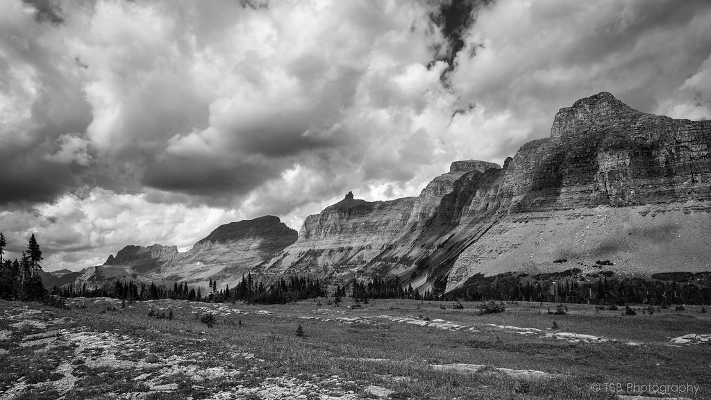
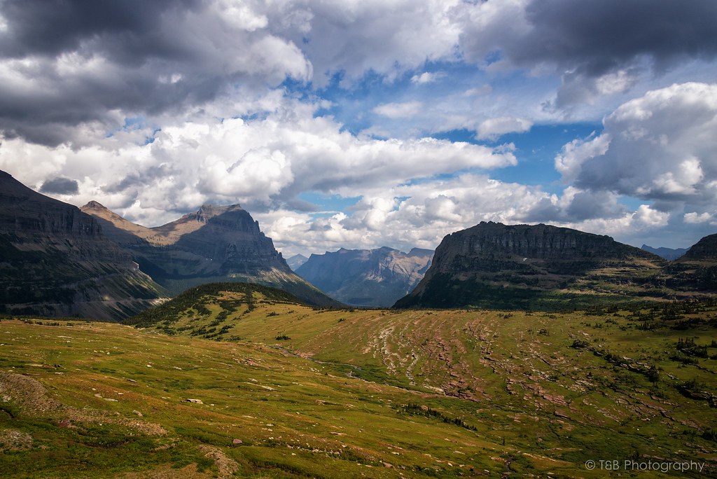
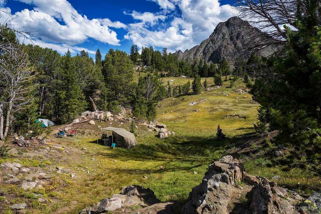
If you come out in August next year, we could theoretically hit Morrison, Goose Lake, and Independence in a few days. Goose is really cool, I think Independence is my favorite so far though.

Thanks for the write up and the pics. Quite impressive the Subaru made it as far as it did!

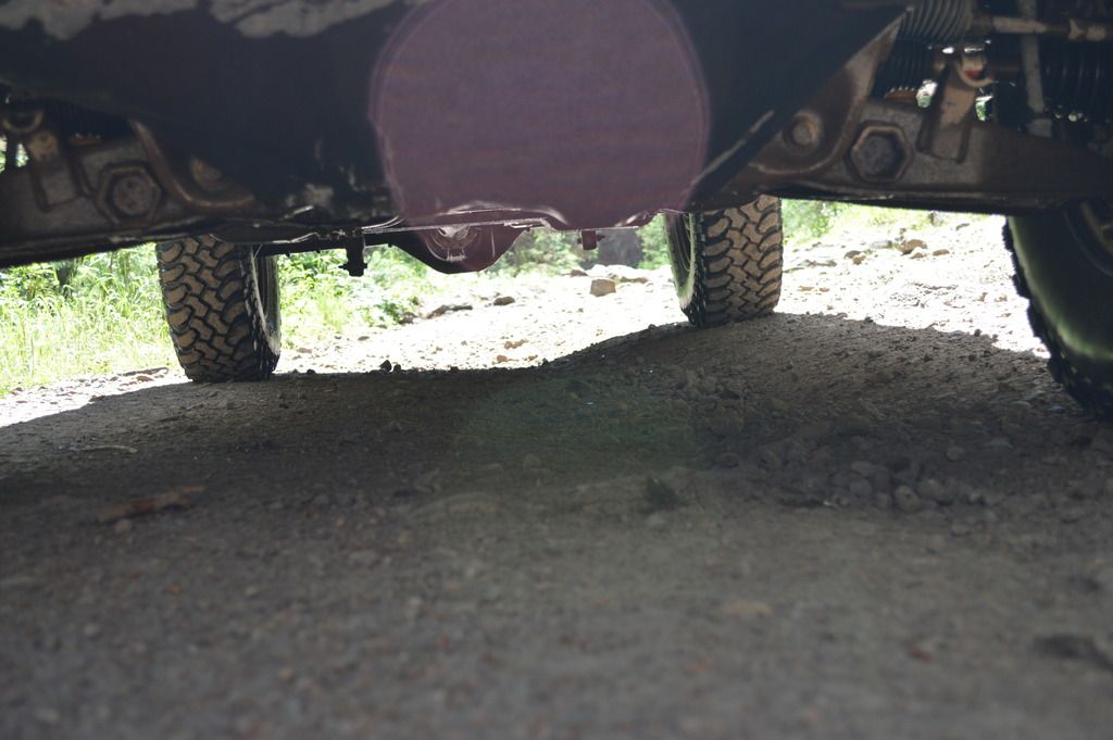
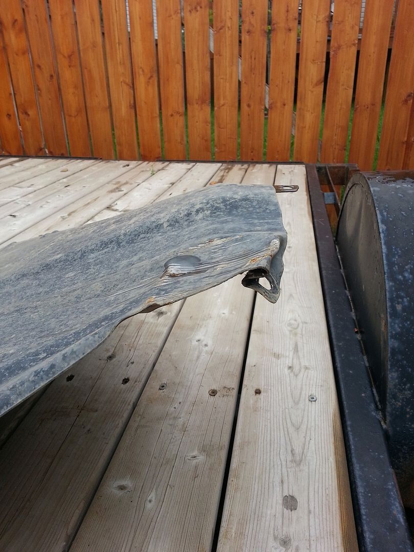
Would you believe that I bent my front skid plate heading back down those trails too? It folded up like a cheap tent!

Where are you heading in our great white north? When?

Thanks man! Yeah my friend is super proud of his little Subaru. Made it farther than you did haha :D The tranny was not happy though, and he needed some spotting in quite a few places.

Haha yeah that trail can be brutal if you're not careful. It gets much more gnarly up near the top though. That last mile or two takes an hour and a half ish, and it's really rocky. Nothing that isn't doable, but it's really rough. Makes that last bit more fun though :D

I'm actually leaving tomorrow night. I'll be headed up to Seeley Lake, then to Glacier the next morning. A day or two in Glacier, then up to Waterton for a few hours, and on to Banff. Banff for a couple days, then down to Coleman/Crowsnest Pass to meet up with the Alberta Xterra club for some wheeling, then up the Forestry Trunk Road to Jasper. Couple days in Jasper, then down to Montana via the Icefields Parkway to Eureka. From there, back to Seeley Lake, spend the day there, then drive home. Be back at work the 28th.
 

jerdog53

Explorer
20547883906_f19f847e81_b.jpg


20565208452_9222bb3fa9_b.jpg


What a fantastic trip we had.

More great pictures Tom!
 

RedF

Adventurer
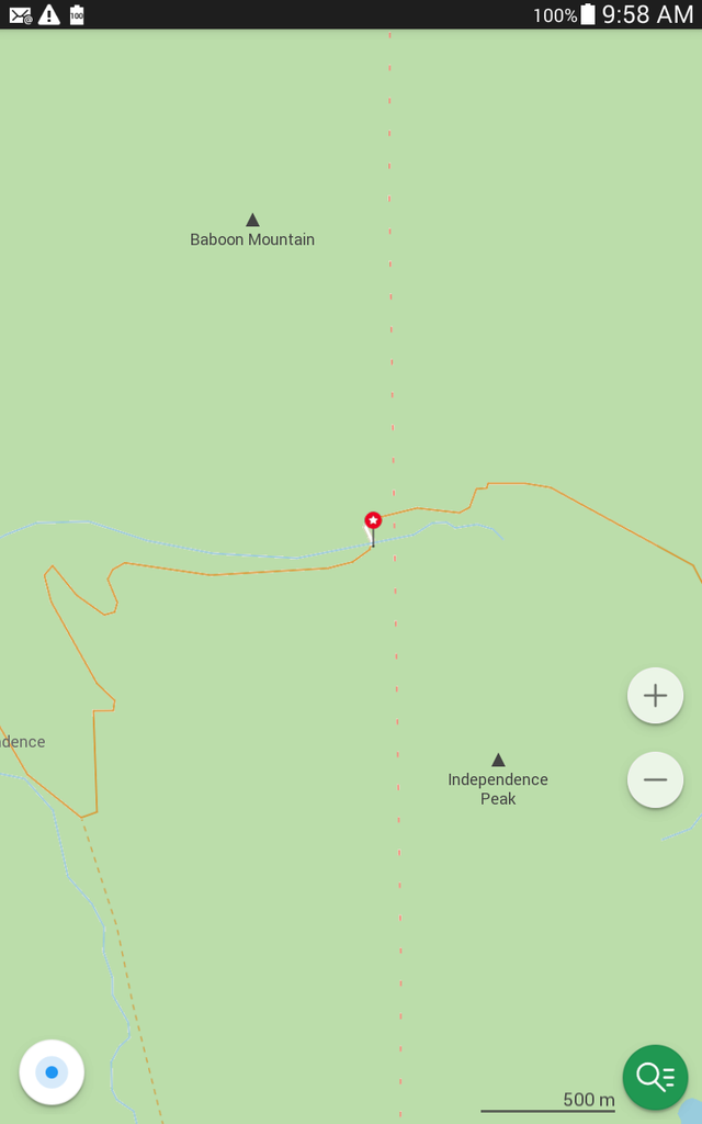
That pin is where we turned around.

Screenshot_2015-08-16-09-58-46_zpsfocgeoqf.png


Doesn't show the damage well, but that front skid plate was symmetrical. Note the large dent on the passenger side. It actually dented the cross member under it too!

DSC_0846_zpsmh7jf1qg.jpg


It was not easy to remove!

ranger%20plate_zps2u4is85p.jpg


Anyway... You should enjoy Alberta. There is a lot of beauty here. I look forward to the update on your trip.
 

wreckdiver1321

Overlander
More great pictures Tom!

Thanks Jerry! Scenery like that, it's tough to get anything bad.

That pin is where we turned around.

Screenshot_2015-08-16-09-58-46_zpsfocgeoqf.png


Doesn't show the damage well, but that front skid plate was symmetrical. Note the large dent on the passenger side. It actually dented the cross member under it too!

Anyway... You should enjoy Alberta. There is a lot of beauty here. I look forward to the update on your trip.

Oh okay, you were farther than I thought then. Those switchbacks start to get a little rough, and once you're at the top of them it gets really crawly. Sure is a beautiful place though!

Haha sorry to see you dinged yourself up a bit! Skidplates start to look like a really great investment on that trail. Luckily it doesn't look too bad though. Glad you made it out alive haha. Gotta go all the way next time!

Yeah I can't wait! I'm about 4 hours to go time. Should be a real adventure.
 

Stokelyvancamp

New member
Sorry I am so late replying, I'm sure you have a great trip planned, Forestry Trunk and Spray Lakes Road is a great drive, you'll see some great stuff, safe travels and look forward to the updates.
 

Blackdawg

Dr. Frankenstein
Glad you made it up to Independence finally! Couldn't believe you haven't..hell ive done it twice :p its great up there. Also glad you beat the smoke.

Would have never taken a subaru up there haha I like that trail though.

Have fun in Canada! I had a blast! can't wait to see your photos. Our trip was spectacular.

Also i find it funny because im about to post photos of independence in my build on here from long ago :p

Like the phone mount. Ive used that one in my dads rig. Like the mount location, would be perfect for my APRS phone. Might have to steal that idea.
 

wreckdiver1321

Overlander
Sorry I am so late replying, I'm sure you have a great trip planned, Forestry Trunk and Spray Lakes Road is a great drive, you'll see some great stuff, safe travels and look forward to the updates.

No worries man. Just got back to the US and I had an amazing time. Trip report coming soon!

Glad you made it up to Independence finally! Couldn't believe you haven't..hell ive done it twice :p its great up there. Also glad you beat the smoke.

Would have never taken a subaru up there haha I like that trail though.

Have fun in Canada! I had a blast! can't wait to see your photos. Our trip was spectacular.

Also i find it funny because im about to post photos of independence in my build on here from long ago :p

Like the phone mount. Ive used that one in my dads rig. Like the mount location, would be perfect for my APRS phone. Might have to steal that idea.

Hahaha you try going up there in June :p

It's a really special place up there. Might be my favorite trail I've done thus far. The scenery is great, plenty of history up there, good fishing, and the trail is a blast. You're right, it's not particularly hard, but it is fun.

Haha my friend was really excited about it. He's lifted and on bigger tires, but it's major downfall is the lack of a low range. The ground clearance wasn't an issue actually, just the lack of low range and less travel. That being said, I don't think he would have made that last mile. It actually did really well though. It was fun to watch it scamper up there.

Thanks man! I had a such a great time. Photos are coming soon. Got a lot of editing to do first though. I've got something like 500 photos to sort through. We can't wait to go back. Got a lot of plans for the next trip already.

Haha I was gonna say something about that thread. You're slackin man! Need to get it together on that! :p

Thanks man, the mount works awesome. I'd highly recommend it. It was fantastic for using my nav app, and for using my km/h speedo app. (Yep, I'm lazy)

Good to hear from you and glad your trip went well. Can't wait to finish off my trip report and get the photos done.
 

Blackdawg

Dr. Frankenstein
No worries man. Just got back to the US and I had an amazing time. Trip report coming soon!


Hahaha you try going up there in June :p

It's a really special place up there. Might be my favorite trail I've done thus far. The scenery is great, plenty of history up there, good fishing, and the trail is a blast. You're right, it's not particularly hard, but it is fun.

Haha my friend was really excited about it. He's lifted and on bigger tires, but it's major downfall is the lack of a low range. The ground clearance wasn't an issue actually, just the lack of low range and less travel. That being said, I don't think he would have made that last mile. It actually did really well though. It was fun to watch it scamper up there.

Thanks man! I had a such a great time. Photos are coming soon. Got a lot of editing to do first though. I've got something like 500 photos to sort through. We can't wait to go back. Got a lot of plans for the next trip already.

Haha I was gonna say something about that thread. You're slackin man! Need to get it together on that! :p

Thanks man, the mount works awesome. I'd highly recommend it. It was fantastic for using my nav app, and for using my km/h speedo app. (Yep, I'm lazy)

Good to hear from you and glad your trip went well. Can't wait to finish off my trip report and get the photos done.


Our Canada experience was...kinda unreal how it all worked out haha

I have 2k in photos. No idea what the others have. Im barely half way through editing. Large trip report won't be for a long while from me as Mike takes a while on his photos and Timmy...may not even do his till december...

Looking forward to your photos though!
 

wreckdiver1321

Overlander
Northern Montana and the Canadian Rockies, August 2015 - Part 1

Going to post my trip report here, but I also have a thread over in the Overland Trip Reports section as well. Anyway, here goes.

One of my favorite quotes about adventure is: "Adventure is the respectful pursuit of trouble."

I like this. I think it's integral to all overland and offroad travel. Overlanding in general is about taking the hard way. It's not about taking the most convenient way from point A to point B. It's not about taking the highway and simply gawking at the sights as you fly by them at 70 miles an hour. It's about taking the long way and immersing yourself. It's about surrounding yourself with the culture and the landscape. Anyone can be a tourist and see just the things that fall on the side of the highway. Those major points may be interesting or even fascinating, but I don't think they get to the real juicy parts of the areas traveled. That's why people who are adventurers are pursuing trouble. The easy way is safe and well-traveled. The long way, the hard way, is more open to problems and potential trouble. It's more remote, harder to get to, rougher, more difficult to navigate, further from help. That's what makes it adventure.

I'm a sucker for a beautiful landscape. I've spent many years exploring the mountains of Montana, and one of the things that draws me there is the natural and untamed beauty of the places. Well, there are few places more beautiful and wild than the Canadian Rockies. Sure, the national parks are pretty developed, but get just outside those boundaries and you're into some very wild places. As such, I've wanted to explore the mountains of Alberta and BC for a long time. My fiancee, Beret, and I have talked about it for a long time, and we finally had the means to explore it this summer. We took 10 days off work and planned to make our way up to northern Montana, explore Glacier National Park, meet some people to do some wheeling in Canada, see the sights in the Canadian Rockies, and then head back down south. Living in Billings, we're not that far away from Glacier. Plus, my parents have a house in the small town of Seeley Lake, just 90 minutes from the western entrance to Glacier Park. This made the trip even more convenient. So, several months ago, we started planning the trip.

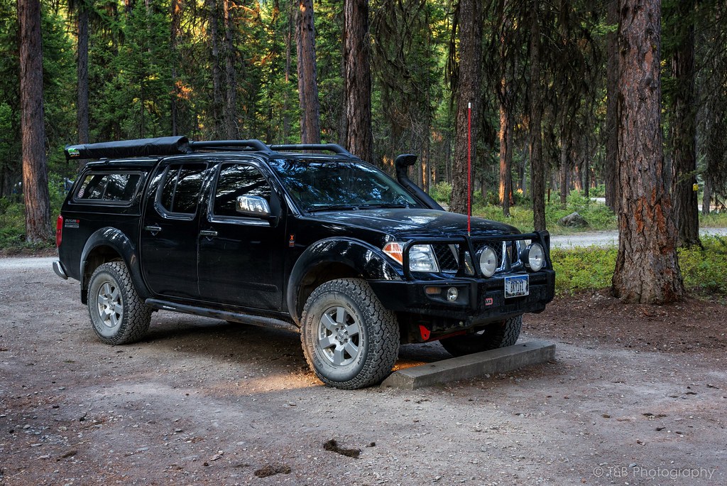
I had to finish outfitting my truck before we could make the trip. I installed a skidplate that had been sitting in my garage for a while, got a 12v Indel-B fridge put in, installed a 175W inverter, and got a phone-based navigation system worked out. We had planned to do some wheeling with some Xterra guys outside the town of Coleman before heading up north via the Forestry Trunk Road to Jasper, so we wanted to be well equipped for several days in the backcountry. I had my Oztent and sleeping setup all dialed in. Finally, just a few days before departure, we were ready to rock.

The night of our departure, we got off work around 8PM and got the truck packed up. Originally, we had planned to do the trip with my friend in his Subaru. He was really excited to go, but backed out at the last minute due to reliability concerns with his car. Since we didn't have to wait on him anymore, we hit the road. Our first stop was in Seeley Lake, where we would spend a couple of days exploring Glacier before making the push to Canada. We also could leave our two dogs with my parents to minimize the hassle of traveling in a foreign country. We arrived in Seeley around 2 AM and hit the bed, dog tired.

We got up early the next morning and spent a few hours with my parents before heading north to Glacier. A brief stop had to be made just outside the park for some locally made huckleberry pie before going in. $25 later and we were in one of America's most beautiful natural landmarks. Our number one goal (as it should be for everyone) upon entering the park was a drive over the breathtakingly beautiful Going to the Sun Road.

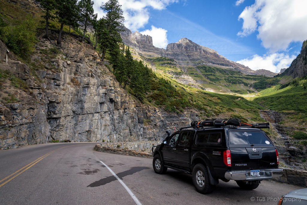
Going to the Sun Road is a monumental road. It winds 53 miles through some of the most spectacular scenery in Montana. The road is named after the dominating Going to the Sun Mountain, which stands at 9,647 feet. The road itself, which was completed in 1932, is quite the engineering spectacle, sometimes built into the sides of sheer cliff faces. As it twists and turns to its apex and the Continental Divide at Logan Pass, it offers some of the most astounding views you’ve ever seen. These mountains and valleys were carved by huge glaciers thousands of years ago, which has made these very vertical rock faces truly awe-inspiring.

We started our way up the road. As you can see, Beret is very excited.


Before long, breaks in the trees offer really fantastic views of the mountains.
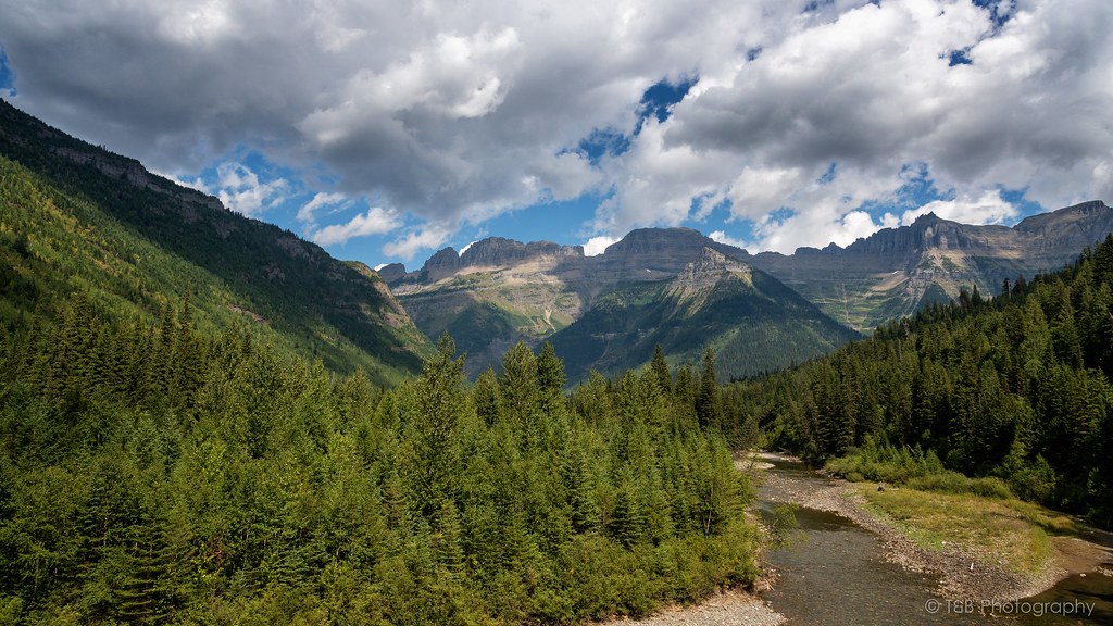


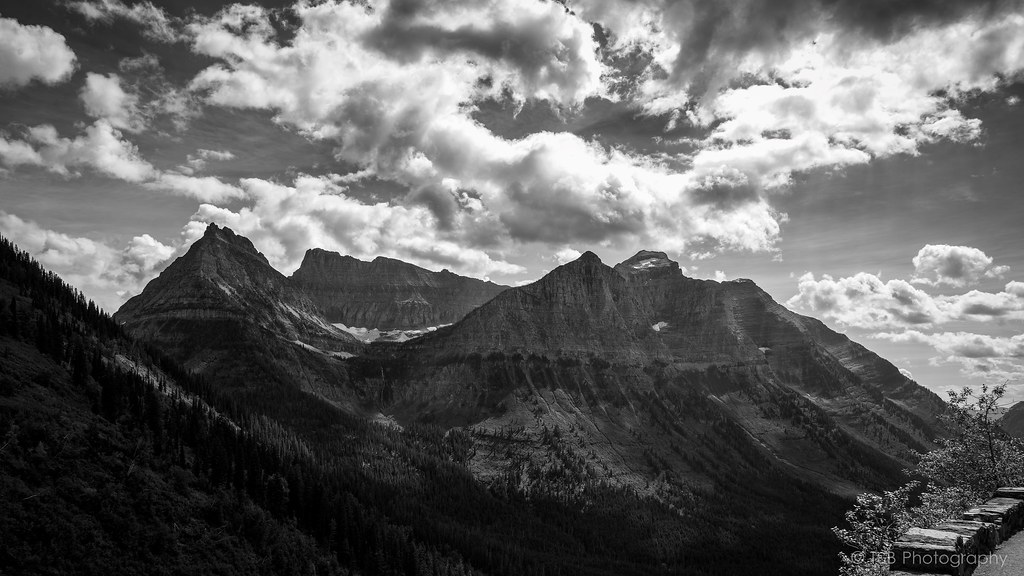
Soon after, the road begins to narrow and you cross the first switchback. As you climb, you are greeted with this enormous view of the Crown of the Continent.
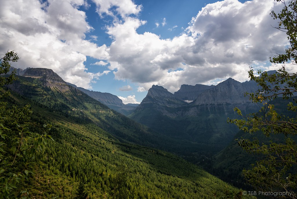


The road continues to sweep its way up the mountains. You pass running streams and waterfalls, piles of rock recently cleared from the road, and many people in vehicles far too large to be on the small mountain pass. Before long, you pass the Weeping Wall, a face of rock from which water seeps constantly. During this very dry year, the Weeping Wall was little more than a trickle. We passed the Wall and came upon one of the more captivating sights in Glacier, about a mile before reaching Logan Pass. We stopped for a while to let the scenery sink in.
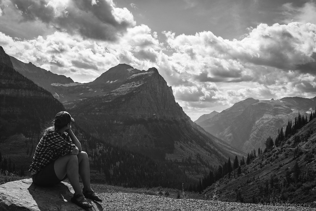
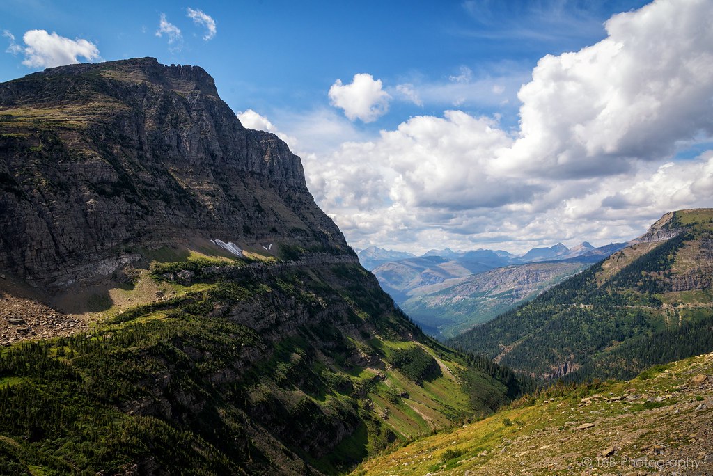
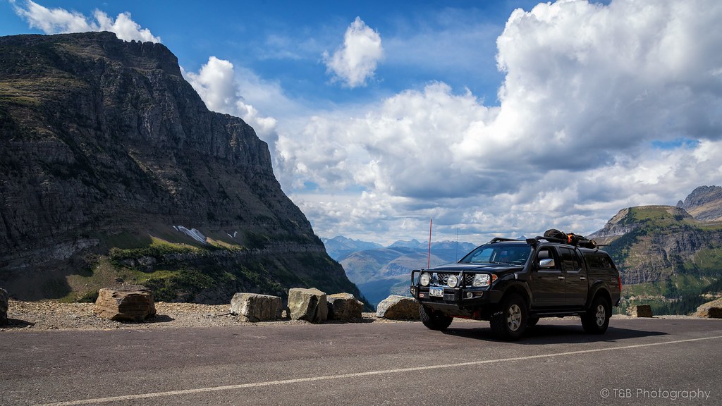


Moments like these are really awe-inspiring. It’s very cool as a citizen of such a modern society full of creature comforts to be so humbled by the landscape. At times it’s actually difficult to comprehend the enormity of it. It’s an awesome feeling.

After taking in the sights here, we headed up to the highest point of Going to the Sun Road, Logan Pass. This pass is located along the Continental Divide at an altitude of 6,646 feet, and offers some really breathtaking views of the landscape beyond. There’s a small visitor’s center there with plenty of knick-knacks to buy before you go. I got myself a new patch for my headliner. :D


Also at Logan Pass is the Lost Lake trailhead. The Lost Lake Trail is a very developed trail with plenty of wooden steps to walk up and a very wide path. It’s fairly well traveled, but we figured it was worth the 1.5 mile hike to the lake. We were not disappointed.


The waters of lost lake are so clear and very blue. The spire rising above the lake is very impressive as well. At least we thought it was until we found out later how tall it is. It’s barely a shade over 8,500 feet, which is a good 2,500 feet lower than a mountain we had climbed a week ago. Nevertheless, it is still very beautiful and worth a stop to take it all in.
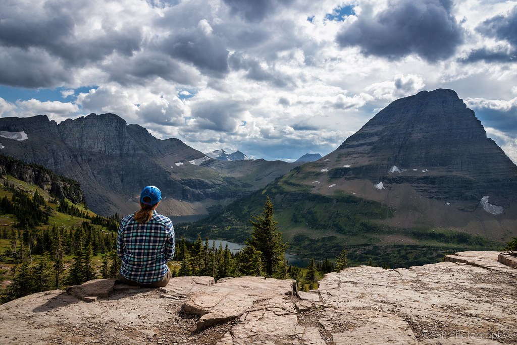


After coming back down from Lost Lake, we jumped back into the truck and started snacking as we made our way down the eastern side of Going to the Sun Road. I had a very specific destination in mind, especially as the sun was on its way down. After a few tight turns, we had the great misfortune of sitting for 25 minutes while we waited for a construction crew to finish painting a new center line on the road. At least the view was awesome, so I didn’t mind overly much.

A few weeks prior, a fire had broken out in Glacier. Just a few days before we departed, the fire had grown to encompass 15,000 acres and had shut down Going to the Sun Road. We were lucky to time our trip just days after the road had been reopened. As we rounded a corner, the landscape changed very abruptly. Suddenly, instead of a lush green forest full of life, we were surrounded by a burned out husk of a forest, blackened and acrid from the recent blaze. Nothing had survived. The trees that hadn’t burned were turned brown from the blistering heat, and are now very dead. It was devastatingly massive, and the stench of the burn was still very strong. Quite the testament to the often destructive power of nature. Unfortunately, there was no stopping allowed on this section of road, so I wasn’t able to get any photos of the aftermath.
The burned area lasted for a few miles before it opened back up into green forests again. We were enjoying the regular speed limits again when out of nowhere there was a traffic jam ahead. Thinking there was some other construction work going on, I slowed down. That’s when I spotted the black mass moving in the weeds on the side of the road. As we pulled closer, I was able to finally get a look at what all the hubbub was about.
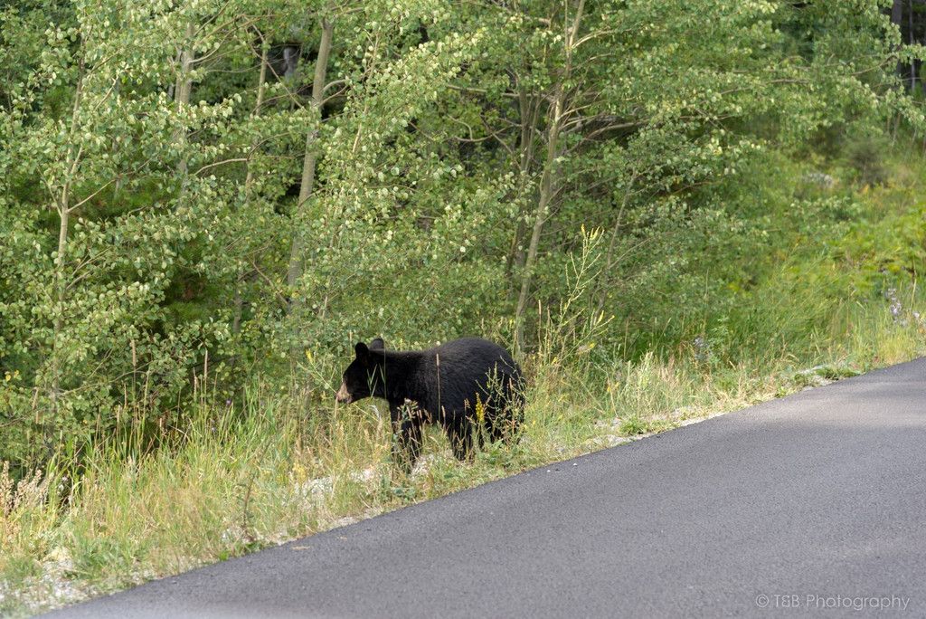


This little black bear cub was out in the open foraging for food. What an awesome sight. It’s so rare that you get a glimpse of a bear in the wild, and even though I had seen them in Montana before, it’s still fascinating to see one. We stopped and snapped a few photos before carrying on.

Before long we left the park and rolled into the small resort town of St. Mary. Viewing the mountains of the park from this distance is fantastic. St. Mary has a few cool little places to check out if you get the chance. We were chasing the sun before it went down though, so we turned north for a few miles. Before long we turned left and crossed back into the park. I knew what was coming, and I was very excited.

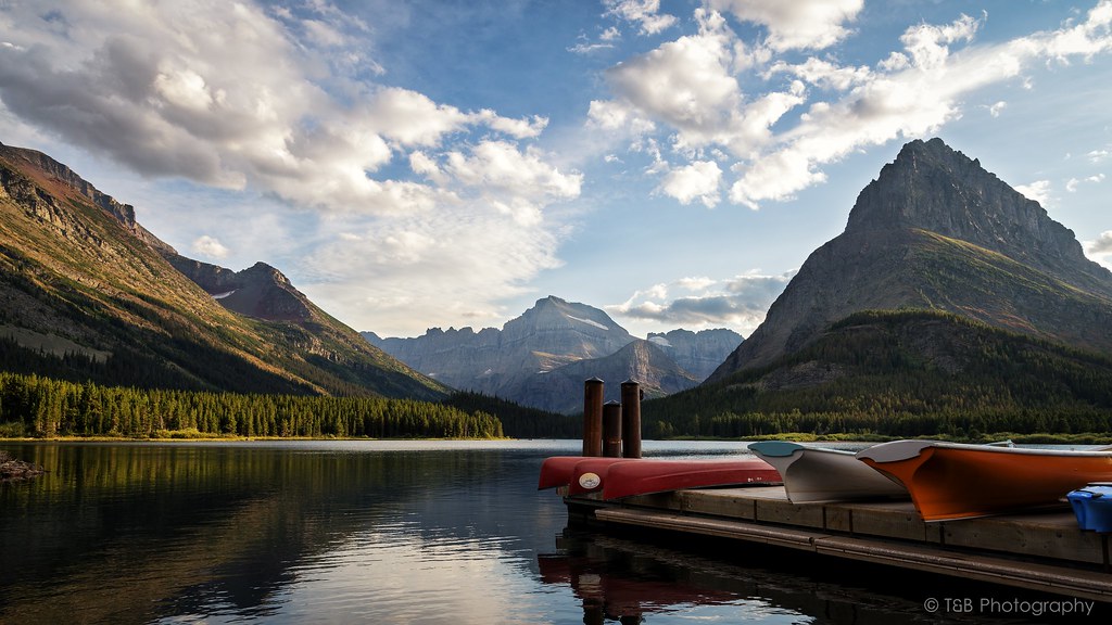
Situated in the northwest corner of Glacier National Park is my favorite little treasure there. The unbelievably beautiful Swiftcurrent Lake is surrounded by mountains, sharp walls of granite, and several active glaciers. Thousands of years ago, a massive glacier carved the landscape into the most beautiful shapes. Years of water and wind erosion has turned the scenery into this amazing spectacle.
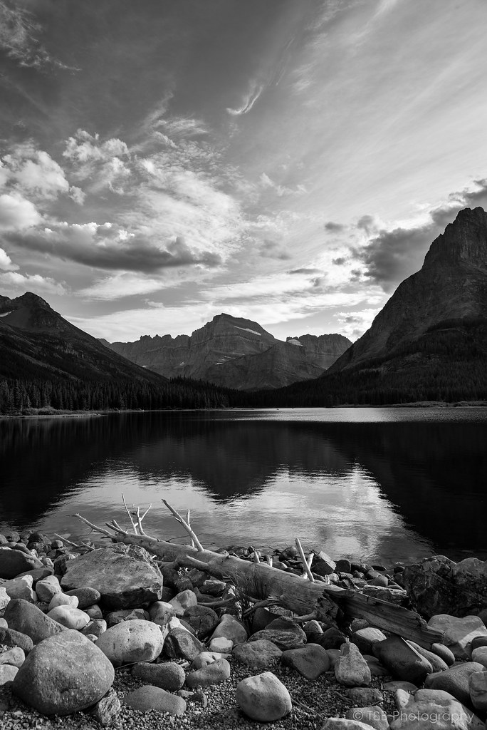


Beret and I reveled in the beauty of the sunset here, in front of the aptly named Many Glacier Hotel. Very excitedly, I framed the mountains in my camera and got one of the shots I had been planning for months.


We were pretty happy to be there.
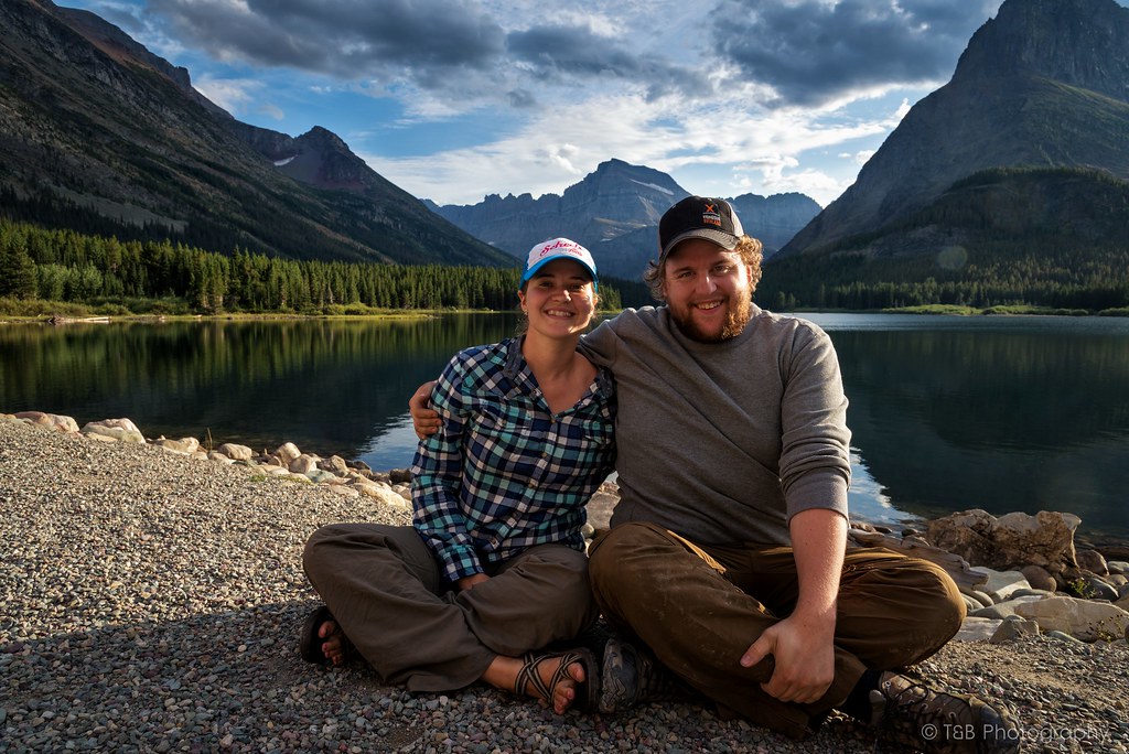


We sat for more than an hour watching one of nature’s greatest lightshows. The sky exploded into palettes of color as the sun drifted down lazily. It was a sight to behold, for sure. We shared a locally brewed beer as we sat on the beach, just about speechless. It was one of those moments I know I’ll never forget.

After managing to tear ourselves away from the view, we realized just how hungry we were! The hotel’s food was sure to be on the pricey side, so we drove up the road a bit to the Swiftcurrent Motor Lodge, where they have a small restaurant. Knowing we had to get back to Seeley Lake that night, we ordered a delicious pizza to go before turning around to go back over Going to the Sun Road again, this time in the darkness.
 

wreckdiver1321

Overlander
Northern Montana and the Canadian Rockies, August 2015 - Part 2

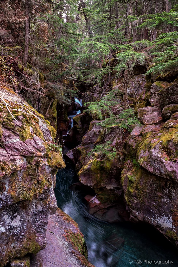
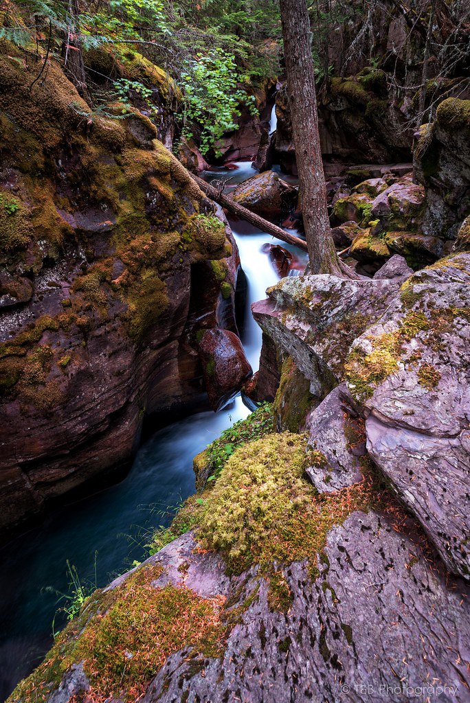
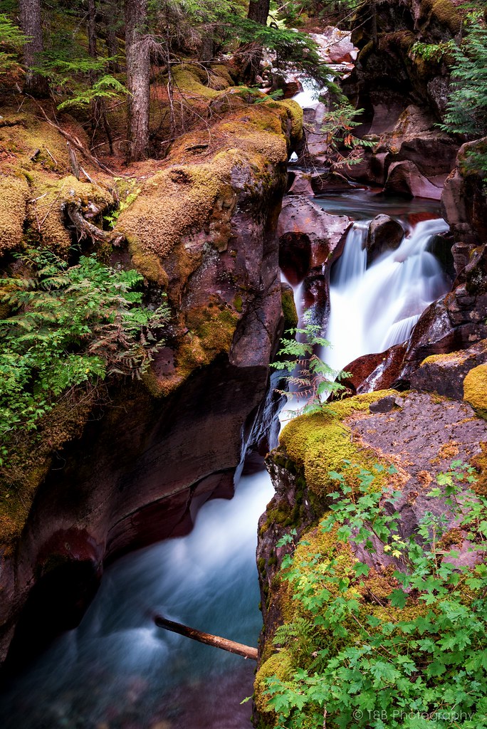
Our second day in Glacier, we started north from mom and dad's house earlier. On the way into the park, we stopped at Apgar Village, a small touristy area full of cool little shops and a hotel. It's a nice little spot. One of the first things on the agenda was the very easy Trail of the Cedars, which is boardwalk trail through a forest of (surprise!) cedar trees. It all culminates in the stunning Avalanche Gorge, through which Avalanche Creek runs. The creek has been running through the gorge for a very long time, and has eroded the rock into some really beautiful shapes. We parked in the first spot we could find and headed off with my camera and a tripod.
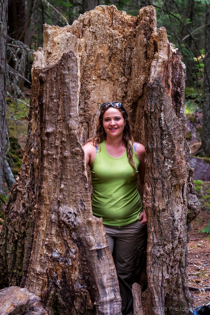
Beret found a huge dead tree to pose in.


I feel a bit bad for not getting any real photos of the forest we walked through. It is a really pretty forest, but I was very determined to get to this water feature.


This is not the easiest thing to photograph. There's a bridge going over the creek below all the waterfalls, but to get close to it you have to hike up another trail and clamber over many rocks. Which I did, of course :D


Then, our plan was to drive back over the road, past Logan Pass, and do a hike. Unfortunately, we ran out of time to do a hike. So we simply took some more photos and headed on our way.


After more awesome views, we left the park through West Glacier once again and drove into Kalispell. We had a couple things to pick up while we were in a larger town before continuing north. We stopped in at the local Best Buy to pick up a camera charger for my Nikon, because I still can't find the one it came with. Afterwards we went to Walmart and got an extension cord for my inverter as well as a new camping chair for Beret (it's pink!).
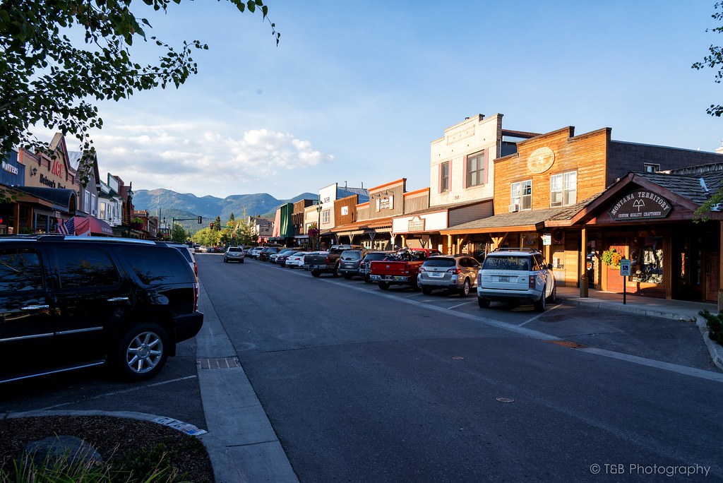
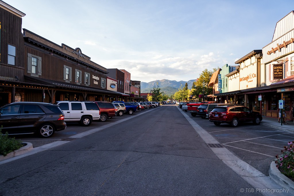
Once we had finished our errands in Kalispell, we drove about 40 minutes north into the beautiful and busy town of Whitefish. This little gem hidden away in the woods of Northern Montana was, as with many cities in this state, created as a result of a railroad. The Great Northern Railroad was being built across the Montana high line in 1904, and Whitefish happened to be a convenient place to put a small worker's town. Originally, the town served as a home to many railroad and lumber work town, but over time the surrounding landscape and the proximity to the newly-formed Glacier National Park was making Whitefish more of a tourist town. In 1940, a ski resort was built on nearby Big Mountain, and year-round tourism exploded. Whitefish is now a booming resort and tourism town, full of art, history, and culture. It's also the home of my favorite brewery.


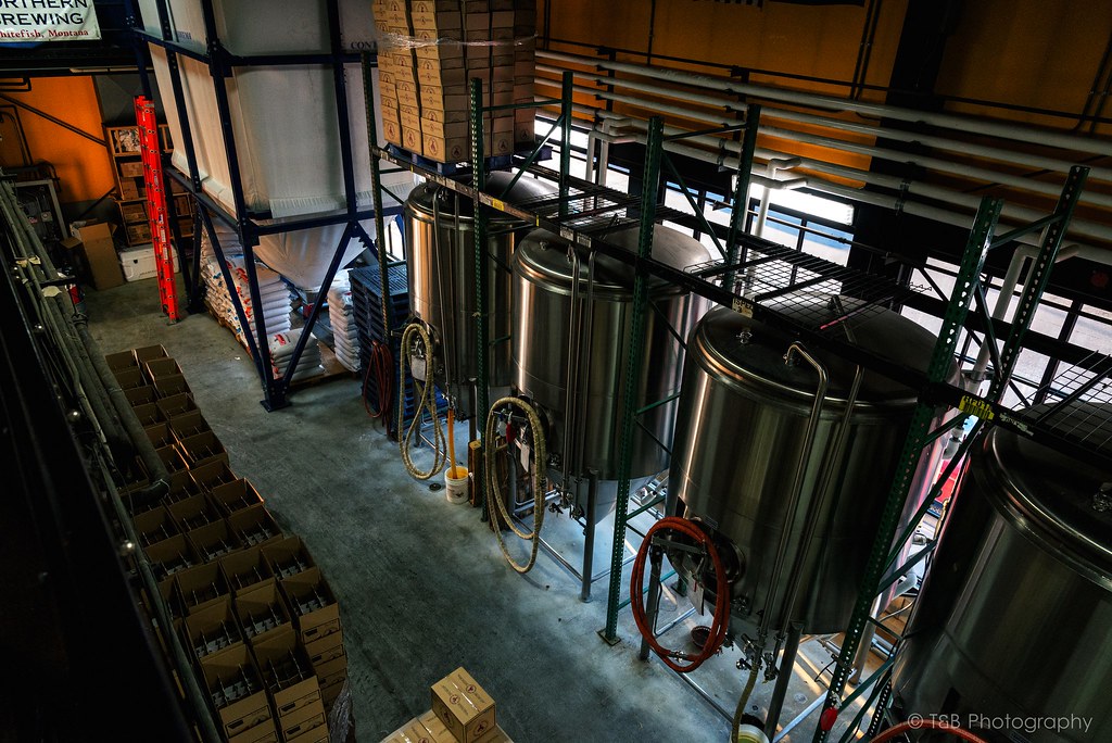
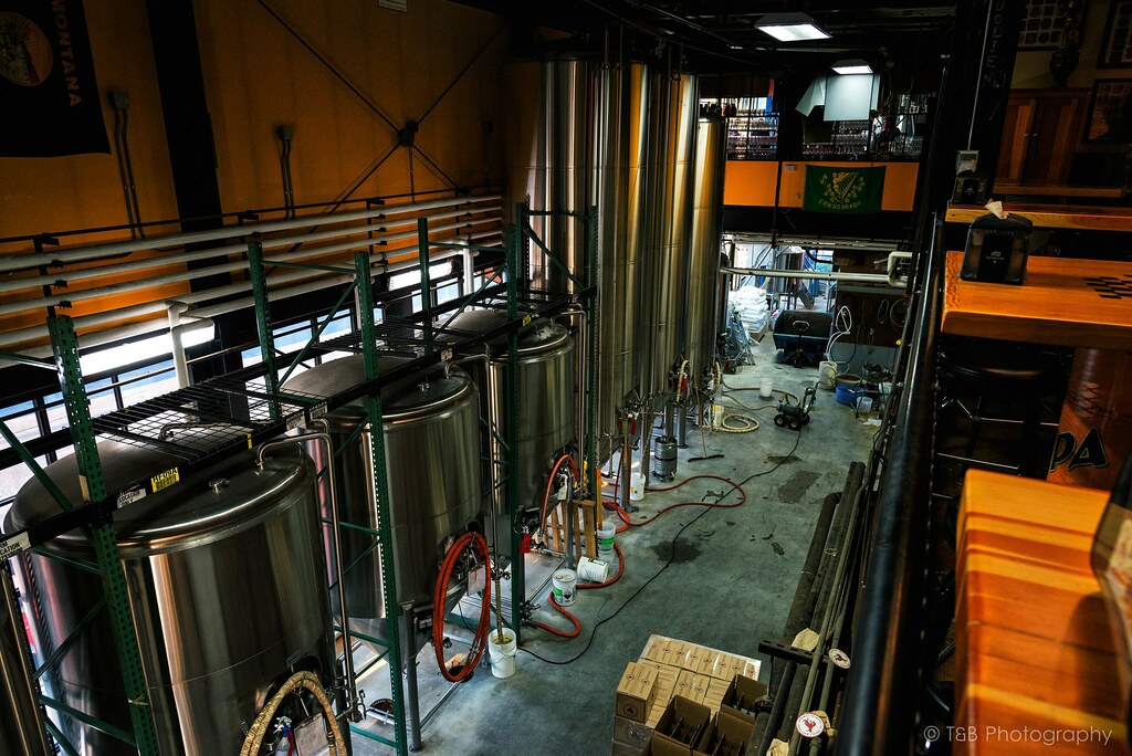
Since we were in town, we took the opportunity to visit the aforementioned brewery, the Great Northern Brewing Company. They have some really great beers on tap, and some great people working for them. Their taproom is pretty amazing too.


You can see here I'm actually standing above the tanks where they brew the beer. They use this area for more seating, as well as a place to put the dart board.


We ate dinner across the street at their pub, having a couple tasty cheeseburgers before heading back to the truck. Our original plan was to find a place to camp outside the border town of Eureka, but we were tired and it was getting late, so we decided to camp near to Whitefish. After coming around a dark bend, we found the road to the Tally Lake Campground and pulled in literally 5 minutes before the host closed the gates for the night. We were relieved as we set up the camp and went to sleep.
 
Last edited:

wreckdiver1321

Overlander
Northern Montana and the Canadian Rockies, August 2015 - Part 3

Thanks guys! It was a really great time.

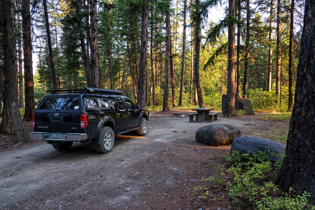
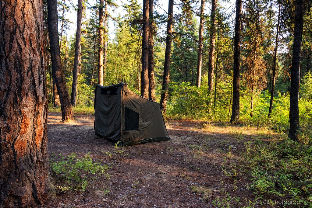
We woke up early the next morning as the sun hit the tent. Having arrived in the dark, we were pleasantly surprised to find out just how nice the campground we picked was. We also discovered that Tally Lake was notable for being the second deepest lake at nearly 500 feet deep. The surrounding woods are beautiful.


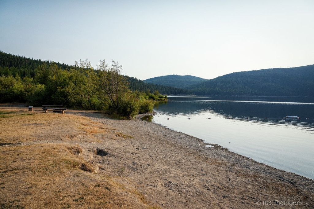
Since we were camped right next to such a wonderful place, we figured it was worth a visit to the lakeshore. Unfortunately, there was a lot of smoke in the area, and we couldn’t get too much of a view beyond the lake. But it looked like a pretty picturesque and fun place to spend a few days.


After satisfying our curiosity, we packed up camp and headed north towards Eureka.

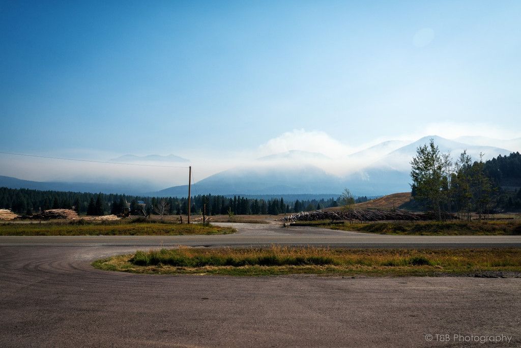
As we wound our way north, the air kept getting more and more smoky. I stopped about halfway there to gas up before crossing the border. We pulled into a tiny gas station/grocery store and watched as the smoke rolled in. There were several active fires in the area causing clouds of smoke to cover the mountains in the distance. There were fire crews everywhere in the valley.


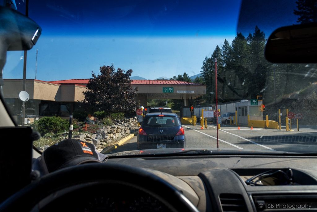
About a half hour later, we arrived at the border.


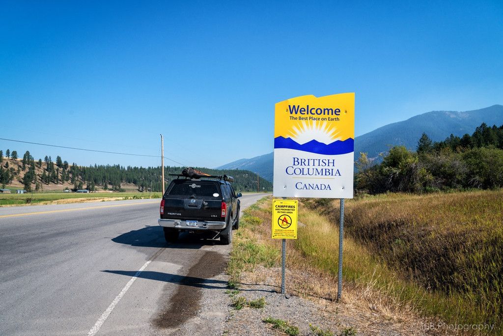
Crossing the border was really easy. I talked to several people about bringing food into Canada and about border procedures. Everybody said not to bring any sorts of fruits or vegetables, and they might take a close look at the truck. We pulled up to the border, showed our passports, answered a few simple questions, and we were on our way. Took about 5 minutes and we were out of the US.


We continued north along the Kootenay Highway. The scenery quickly turned beautiful again as we headed deeper into British Columbia. We headed towards the nearest sizable city, Fernie, so we could exchange some cash and fill up on the last of our groceries. We found out at the local bank that Canada no longer uses pennies. I thought that was interesting. We also discovered that the exchange rate was very much in our favor at 1:1.25. Not too bad. We pulled in to the grocery store and grabbed a few last minute things, as well as pick up a bag of our new addiction, ketchup flavored potato chips! Trust me, they’re delicious. We were going to buy a map, but as we were checking it out a local stopped us and let us know there was a visitor center nearby with maps for free. That was pretty cool of him.

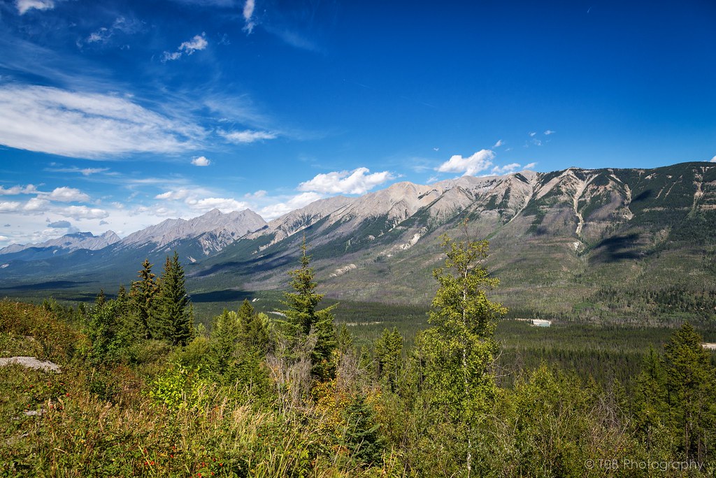
We stopped by the visitor center and picked up our maps before we sat down for some lunch. We were enjoying the surrounding mountains and the fun of being in another country. When we finished up, we checked the map and decided the best way to get to Banff was to go back west and go north. We hit the road and soon joined up with the Kootenay River as we swung north towards Kootenay National Park. The farther north we went, the more milky blue the river turned. At the time, we didn’t know why it did that. After passing Columbia Lake and Fairmont Hot Springs, we rolled north into the resort town of Radium. Radium is a really beautiful area that I wish I could see more of. We passed through Radium and found ourselves at the gate to Kootenay National Park.

When we pulled up to the booth, we found out just how expensive getting into Canada’s National Parks can be. For up to six day’s access to the parks, it would cost us $117. Any longer than that, and they sell you an annual pass for $137. Now, that sounds like a lot of money right off the bat, but what we found out is that $137 gives you full access to every single one of Canada’s parks and historic sites. Not a bad deal if you ask me. We stomached the cost and moved through the park.

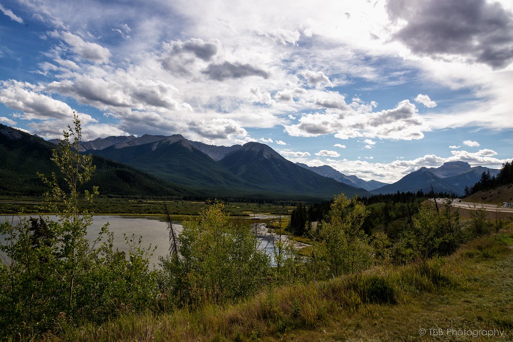
Before long, we found ourselves descending into the stunning Bow Valley.


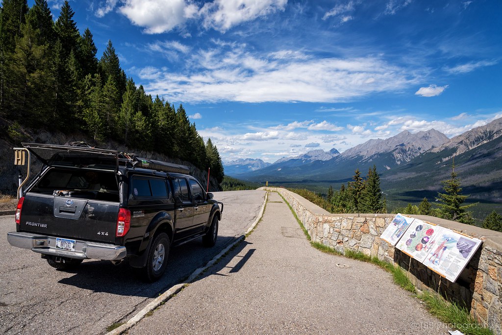
We stopped to take in the scenery and snap a few photos of one of our first encounters with the Canadian Rockies. We carried on towards Banff, our destination for the next couple days. Before long we crossed over into Alberta and Banff National Park. We noticed that Parks Canada (Canada’s version of the National Park Service) has instituted a new policy of fences along the highways through the parks. These fences are, in theory, designed to keep animal strikes from happening. Not sure what I think about that.

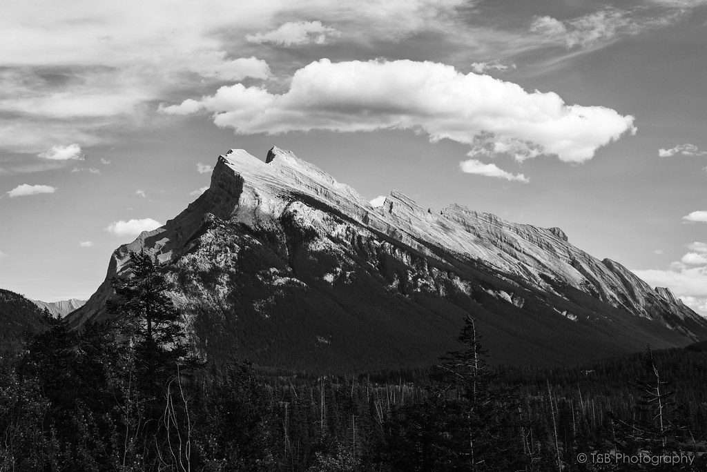
Anyway, we turned right at Castle Junction and headed east towards Banff. As we closed in on the city, we saw one of the most fascinating mountain formations I’ve ever seen, Rundle Mountain.


Rundle Mountain is fantastic. When you’re out there it really does look exactly like the mountain was blown in by the wind.


After we gawked at the mountains for a few minutes, we got back on the Trans-Canada Highway and rolled into Banff.
 

Forum statistics

Threads
188,259
Messages
2,904,632
Members
229,805
Latest member
Chonker LMTV
Top