Magellan Explorist 500

dyogim

Explorer
I know this is an old model but, was wondering if anyone that has used this or still using it, how well does it work? What are your impressions, etc. I'm getting one that was used for 2-3 times at most for really cheap. Otherwise, it's been in the original box and has all the original literature software. I'm generally using this for basic use.

Pic courtesy of Jamie Z on forums.groundspeak.com

269_6944.JPG
 

Haggis

Appalachian Ridgerunner
That was our first GPS, bought back in '07 and still in use today. As a matter of fact it rides in it's cradle in the LJ almost all the time and is still used as our hiking and hunting unit. Rechargeable battery last about 10 hours as long as you set the screen to the dim setting. It's pretty straight forward to use and satellite reception is pretty darn good, comprable with the big Garmin Nuvi unit that acts as our travel unit. Only in the narrowest and deepest hollers have we lost signal for a time. We've found the Mapsend software to be spot on as far as terrian features but some forest roads are missing even from updates. But nothing that ever hampered our travels. Tracking routes and saving them is easy though there is no turn by turn navigation. Ours has led us to spots from Newfoundland to the UP and the OBX and to all points in between with nothing but relaible service. It ain't fancy but it gets the job done.

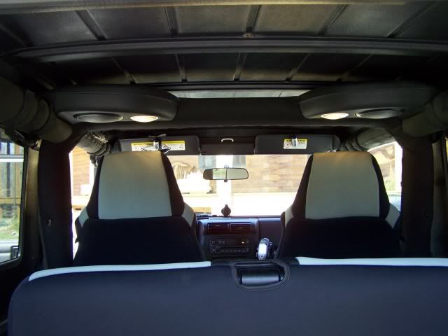
Here, if you squint, just over the edge of the back seat, you can see ours riding shotgun in the Jeep...:REOutShootinghunter

100_1315a.jpg
 

dyogim

Explorer
That was our first GPS, bought back in '07 and still in use today. As a matter of fact it rides in it's cradle in the LJ almost all the time and is still used as our hiking and hunting unit. Rechargeable battery last about 10 hours as long as you set the screen to the dim setting. It's pretty straight forward to use and satellite reception is pretty darn good, comprable with the big Garmin Nuvi unit that acts as our travel unit. Only in the narrowest and deepest hollers have we lost signal for a time. We've found the Mapsend software to be spot on as far as terrian features but some forest roads are missing even from updates. But nothing that ever hampered our travels. Tracking routes and saving them is easy though there is no turn by turn navigation. Ours has led us to spots from Newfoundland to the UP and the OBX and to all points in between with nothing but relaible service. It ain't fancy but it gets the job done.

Here, if you squint, just over the edge of the back seat, you can see ours riding shotgun in the Jeep...:REOutShootinghunter
Thanks for that info Mark. That's what I was hoping for and it sounds like I got a good buy. For $75 shipped with original packaging and content.

BTW nice tundra build!!!
 

Bennyhana

Adventurer
My only complaint with mine was/is the MapSend Topo 3D software. Apparently some faulty Version 1.0 was sent out. Mine worked the first time I uploaded it to my computer. I only found out it was bad when I tried to install it on my new computer. The 3rd disc(actual map data) would not load. I called their tech support and was told they no longer support the Explorist series. They did give me a free region Topo though. Other than that it has been a great little device.
 

Forum statistics

Threads
189,972
Messages
2,922,785
Members
233,209
Latest member
Goldenbora
Top