Completed Trip! Awesome time!
Hi everyone,
If you just want to see the pictures, go here…
http://gallery.lisaandmike.org/mojaveroad but the story and a few pictures are below.
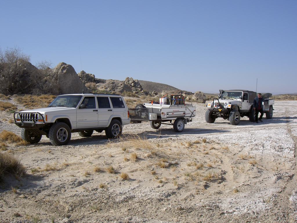
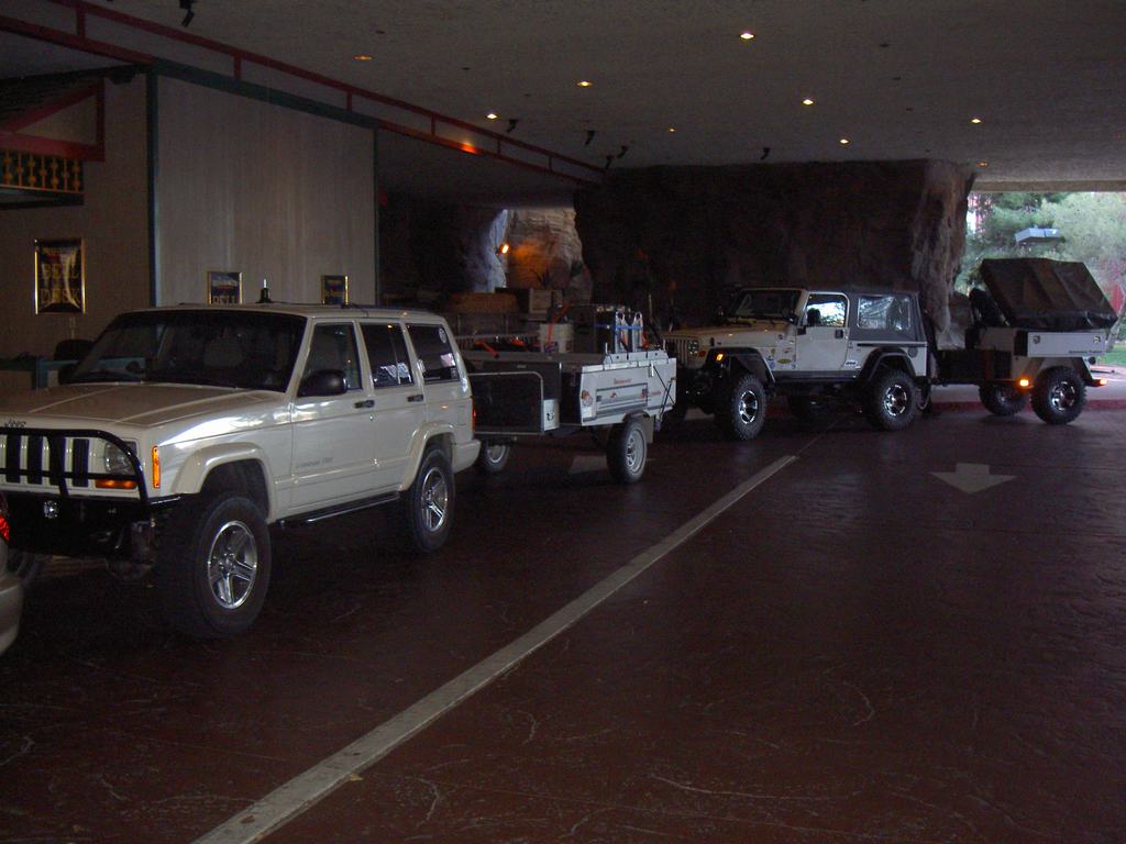
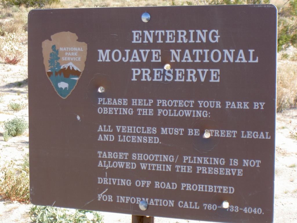
Just wanted to share how my 40th birthday and our Mojave Road trip with Trail Monkey went. It was an incredible trip and unlike anything I have done before. Lisa and I set out in our Cherokee and our Kamparoo tent trailer to Primm, NV (Stateline). We were meeting two other couples, which we had met on an online forum called Expedition Portal. James and Stacey were from New York and had a Jeep Wrangler Unlimited which was seriously built for rock crawling. They had their friends riding with them, Steve and Joanne, from Canada. We met for the first time on Friday night at Buffalo Bill’s hotel. Early Saturday morning we left to go south, to start our trip across the historic Mojave Road. It’s an east-west route used by settlers and the Army in the 1800’s as a means to get to California. It’s about 130 miles long and our route covered about 100 miles of it. We ran it from west to east, which is unusual but because of our starting points, worked better.
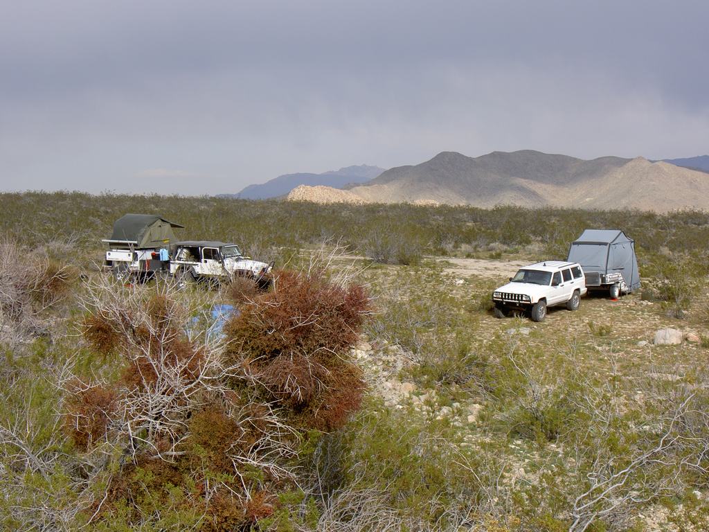
Getting Started
On The Road
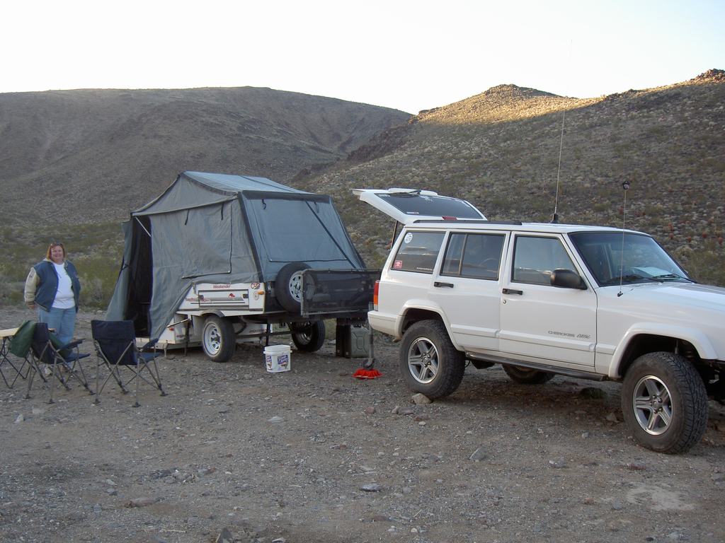
Stopped Just Before Soda Dry Lake
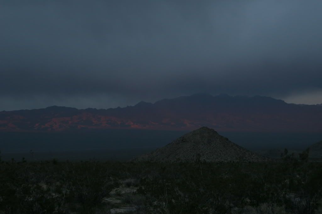
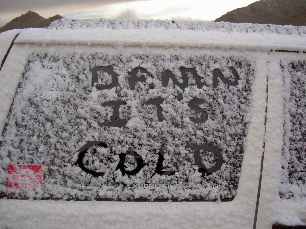
Saturday was a beautiful day that could get breezy at times. We traveled across Soda dry lake and were heading for a place called Marl Springs. It offered a little bit of a wind break from the Marl mountains. We knew there was a storm coming in that night into midday Sunday. We made a little side trip into this cool box canyon, even though the map showed it went around this mountain. We stopped along the trail and ate lunch and then headed to Marl Springs. We did stop at the Mojave mailbox and signed the log book. Behind that is the Mojave Toads display. No idea why it’s there but cool none the less. As we were looking, we saw a gnome in a dead tree about 50’ beyond the toads. As we got closer there were gnomes all over it. The desert does weird things to people. We made camp and ate dinner. Boy did it get cold and windy and we all were in our tents and sleeping by 7pm. We woke the next morning to find we had snow. The snow level dropped to 3500’ and we were just above 3900’. It made for an incredible scene but the temp was only 34*. None of us were really expecting this but it was a very nice surprise.
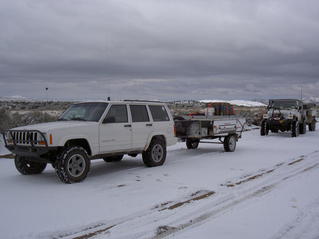
Camp For The First Night
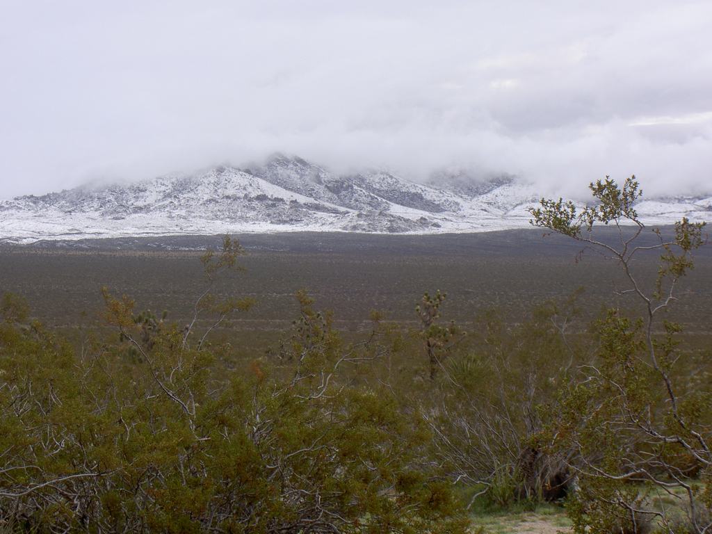
Waking To Snow
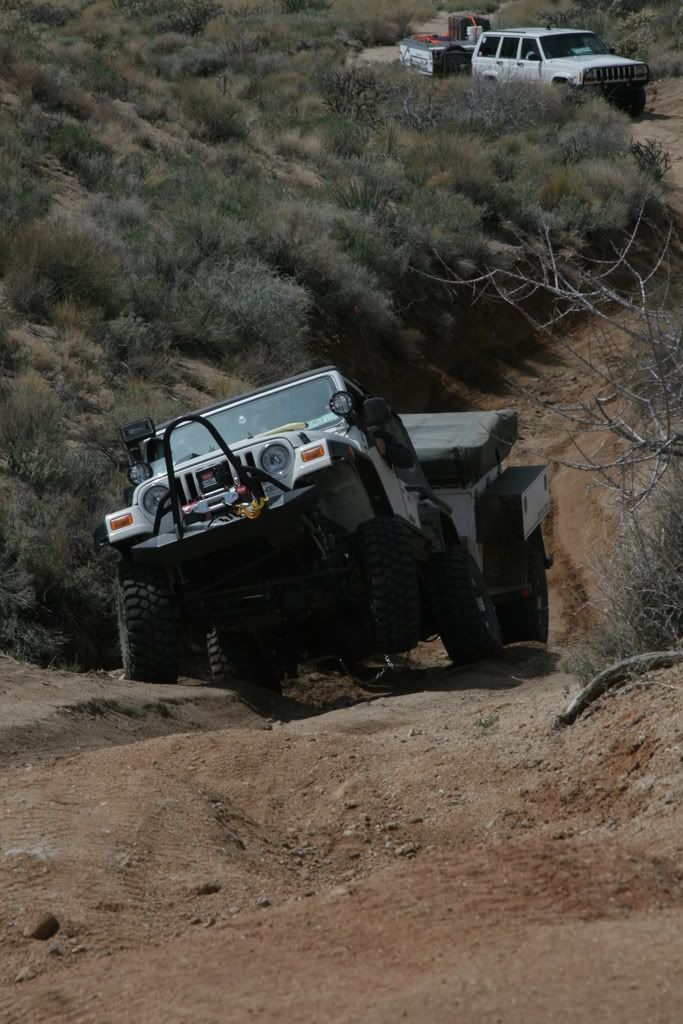
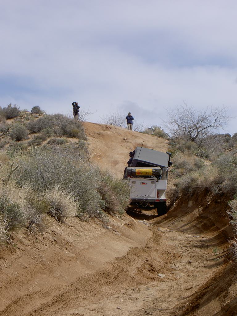
Sunday we got on the road after making breakfast and getting things packed up. It was a dark and ominous as we traveled east. The road was starting to get a little rougher then it has been on Saturday but nothing to slow us down… much. We crossed a set of railroad tracks which started us up a section of the Mojave Road that is now merged with a graded dirt road (I use graded loosely as it was the worst washboard road I have ever driven). This brought us into the mountain range that makes up the highest point on the road. Here we were greeted to 2” of snow on the ground from overnight. It was incredible to see as the day before there was no snow on these mountains. We proceeded over the top and to Rock Springs which was a stopping point for travelers as it had water flowing most of the time. We were able to stand were a famous picture was taken from the late 1800’s. It was really cool. Less then a mile or so up the trail we encountered our first real test of our vehicles and the road. It was a V cut canyon which went to a steep climb of about 30’ or so. The entry into it was the hardest part as James found out. We had walked these section before trying it as there was no way to turn around. James took a line more to the right and when his right rear tire hit the bump up at the bottom, it just gave way and started pulling the rig into the washout to the right of the road. He would have been fine but we found out his front locker was not working and it would just cross up the Jeep and lift the front drivers tires more then 3’ into the air. I missed pictures of this as my battery died and then things turned into a recovery effort and taking pictures was last on my mind. Luckily James is setup to winch himself out if we find a spot to anchor to. A pine tree about 120’ and 45* off the trail would do. After using all the straps and extensions we had, he was hooked up and pulled himself right up it. Everything unhooked and him at the top, it was our turn to try. We could have taken the bypass around but what fun would that be. In 4WD low and first gear we started up the valley. We hit the bump up more to the left and just kept good momentum and power going. I was told that I had the front driver tire about a foot in the air but we just walked up the trail like it was nothing. All we heard from coming from James was “Kamparoo……”. It was a great moment to know our rig did so well being as mildly built as it is.
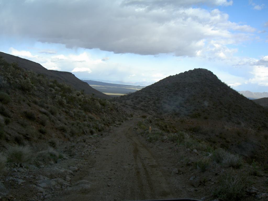
We Are Heading Into This
A Quick Photo Stop
Climb Up Worst Part
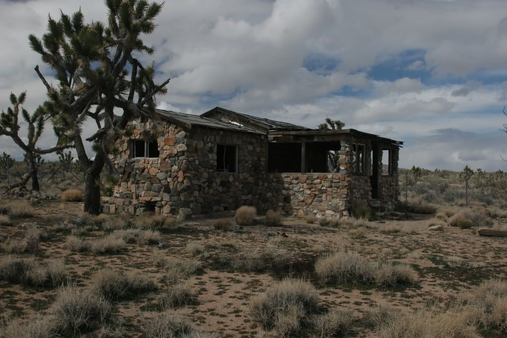
We were planning to camp at Grotto Hills but after looking at the map and the time, it was too early to stop for the day. We decided to continue on to Fort Piute. Along the way we stopped at an old cabin, an old school bus parked partial onto a Falcon station wagon (why, we have no idea) and just some pretty sites we saw. We traveled down the valley in the Piute mountains, which was very rocky. I was most concerned about tires coming down this part of the road as it would be really easy to cut a tire. We slowly worked our way down without problems and it was amazing how green everything was. We commented about this the whole trip. We made our way to Piute Springs, just below Fort Piute. We found a great camping spot and set up camp. The weather was perfect, comfortable temps, very light breeze and clear skies. We all made dinner and sat around the camp fire. James gave me a beautiful, boxed German pocket knife as an “east meets west, birthday” gift. It was just so cool of him to do and was completely unexpected. It was such a cool gift from someone who only knew me for 48 hours at this point. We all settled in to bed about 9:30 for what we thought would be a quiet night. Well Mother Nature had her own ideas and about midnight the wind started picking up. We had gusts into the 40mph range and you could actually hear these large gusts coming down the valley. It sounded like a train that got louder and then, blam it would hit you. The Kamparoo (ours) and the Adventure Trailer (James) weathered the winds quite well but we felt bad for their friends who were in a ground tent. We were surprised not to find them at the bottom of the canyon.
Heading Down Piute Mountains
Camp On Sunday Night
We got up Monday morning and did a quick breakfast and packed up. In less then an hour we were at Highway 95 and heading for Searchlight, NV for something to eat. After a quick bit, we all said our goodbyes and parted ways.
I want to give a big thanks to ExPo, which without this site and the great people here, this trip would not have happened.
")