PNWY.....yep, I agree. That's exactly what it looked like to me. Thanks for sharing that. Are your bags packed ? Ready to go ?
ghostdancer.....just minutes ago I Googled
Double Cabin Campground and Google Maps threw up this weather advisory
"Route May Be Affected By Winter Storm Warning".....looks like they're getting hammered right now. Forecast calls for 10 to 15 inches and 18 inches in the higher elevations. Looks like a great spot to check out.....and there's also some nice mountains to be climbed in that area.....thanks.....
Foy.....I think that we may have traveled down some of the same roads. I'll be posting about that soon enough. I actually thought about you last week as I was heading up into the mountains & I found 2 hammers at the trailhead. One was a typical claw hammer and the other was a long pointed hammer.....considering where I found them, I thought
"looks like an absent minded geologist had recently been here". Did you lose a few hammers recently ?
Arjan.....the good picture streak is coming to an end. The northern section of the
Little Belt Mountains was not a photographers' paradise.....thanks.....
As we headed into the northern most part of the
Little Belt Mountains, I started to think that I wanted to climb a mountain. After a bit of reseach, I came up with
Woodhurst Mountain (7,382'). And so it was, with the help of Google Maps and my inattentive nature, that we took the wrong road into the
Lewis & Clark National Forest.....
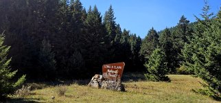
Soon after the National Forest sign, we saw the bear warning sign that's posted at most National Forest entrance signs in
Montana (could we finally be so lucky ?).....
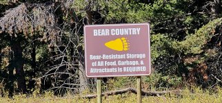
The gravel road took us into a dense pine forest.....
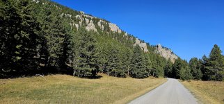
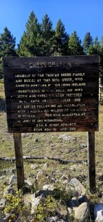
Really nothing noteworthy about this particular road.....nothing that struck up an interest in me.....but eventually we did come across this grave site at the "Y" in the road.....
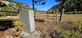
This guy Greer.....he must have been one hard core mountain man. It's difficult to think what it must have been like to have been a homesteader here 125 +/- years ago.....this is remote country right here.....
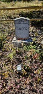
I'd say that it was maybe at about this point that I realized that I was lost (well, maybe not lost but certainly on the wrong track).....
We made a right at the "Y" in the road at the cemetery site which generally had us driving northwest now.....the road.....it became a bit more challenging as we started to climb up into the mountains.....
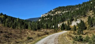
I had a few moments where I thought that my rig didn't belong here.....the tires spun in the gravel as the road steepened.....and the trees brought new scratches to the truck camper.....but we continued on.....cause there ain't no backing up on these roads.....
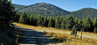
Of course I don't have pictures of that as I was white knuckling my way through it all. Eventually we came to yet another "Y" in the road and we took yet another right, driving due north, looking for the asphalt highway.....
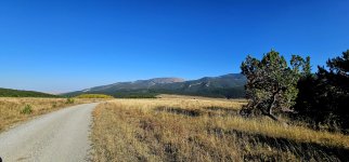
It was kind of funny really, we'd spent the entire day in those mountains.....didn't see
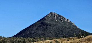
Woodhurst Mountain (7,382') until the end of that day (didn't see any bears either).....left those mountains thinking that I should be a bit more attentive when I'm traveling these back roads.....then I thought
"nope, why change now ?"
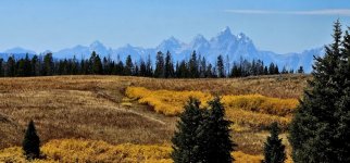
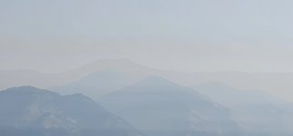
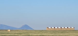
That's
Woodhurst Mountain (7,382') in the last picture.....seen as we were leaving the
Little Belt Mountains.....
 .
.
