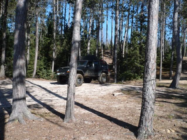
Ontario Overland Project

762X39

Explorer
I am quite enjoying this thread (except for the off topic bs of course).I have traveled down many a dirt road, two track ,fire road or whatever simply because I saw it and was curious.Sometimes, I found a new place to hunt grouse, other times a nice place to camp and fish a lake and other times I had to turn back because I was in my company pickup and not my Unimog.The Ontario Overland Project is worthy of the time spent on it and worthy of my time reading it.I typically find that the critics of it (and other real world stuff) spend too much time on the internet and way too little time (if any) actually getting out there (so f them!).Let's get back to travelling and exploring...:coffee:
 
Last edited:

abeaudin1971

Adventurer
I'm enjoying this one too - being an Eastern Ontario resident for most of my years, I recognize a number of the places you've been. Keep it up and don't let the flamebait/detractors get you down.
 

R_Lefebvre

Expedition Leader
Just did another run of Lingham Lake hydro line with a large group of JK's. Got a good Spot track of it here:

http://www.spotadventures.com/trip/view/?trip_id=218827

It's mostly a Class 2 trail, but some sections of Class 3 to 3.5. The road is beaver damned right in the middle, and you must use a bypass to the north. The bypass is fairly tight. This trail is doable in a stock JK Rubicon Unlimited, and even a non-Rubi, but you better be pretty experienced. It would be difficult to get a full-size truck through, but might be possible if it's lifted and you know what you're doing, and willing to knock over a few trees. ;)

I'll try to get some pictures up.
 

advnirvana

Observer
Rob,

Great work on this thread. It is great to see what is in our backyard.
BTW...you probably drove right by my house on the HWY 2. (on the St.Lawrence between Iroquois and Cardinal). If I would have known of this thread I would have let you know, so you could have a pitstop.:coffeedrink:

FYI...in regards to old railway beds (and who owns what). Part of the old Grand Trunk railway bed runs along the St.Lawrence (near Hwy 2.). You had mentioned that most railway beds are owned publicly, which is mostly correct. I know in the above case most of the different sections (when they cross private property) are owned by the property owners. I own the section that crosses my property. During the purchase of the property my lawyer noted that I had the right to gate it or enter into landuse agreements (ie snowmobile clubs). He also noted some liability issues by having land user agreements vs. posting no trespassing. That said, I have no reason not to let responsible people use it ( 2wheel or 4 wheel).

Anyways, good work and keep it coming.

Andy
 

R_Lefebvre

Expedition Leader
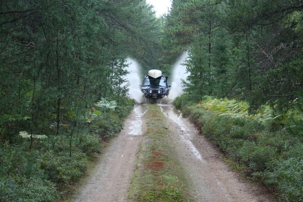
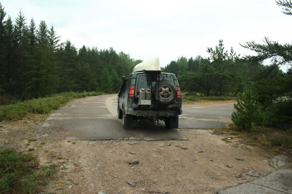
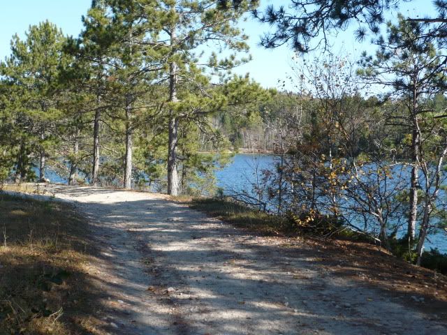
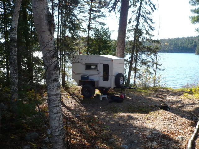
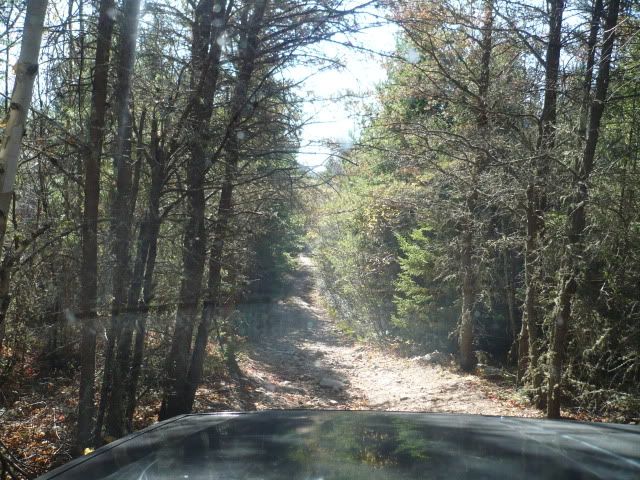
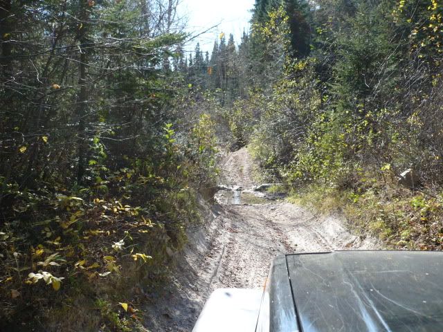
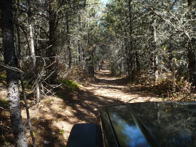
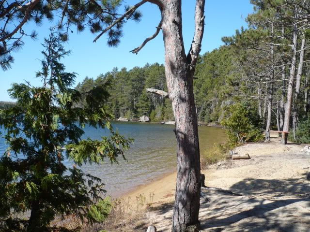
Just some teaser shots from out last trip into the nether regions of Algonquin park. More to come later.

IMG_6343.jpg


IMG_6311.jpg


P9030013.jpg


P9030017.jpg
 
Last edited:

achampagne

Explorer
Nice , I miss Algonquin park. I spent many a summer up there with my family camping and fishing when I was young. I look forward to doing the same my new family.
 

deadly99

Explorer
Sounds like your having fun :)

A group of us have been working on a route across Canada. Originally it was going to be just for bikes but the demand for go arounds for bigger bikes and support trucks has lead us to start incorporating suv-trucks. The go around sections will be classified as the truck route. The majority of the route will be the same though. It will be a gps and roadbook navigational route. The route will be primarily gravel roads with some light offroading. Nothing over a grade one section. The bike split offs incorporate some fun technical terrain, some suitable to 4x4's, some not (due to width).

In the end we hope it will be an interesting back roads overland route that your average suv can enjoy. The route will be distributed at no charge from our website. Our site will be revamped to incorporate overland 4 wheel vehicles this winter. The focus is on remote gravel road expedition style traveling.

I see some of the roads-trails you have been exploring overlap some of route.

http://www.advrider.com/forums/showthread.php?t=594395

Give it a read, perhaps it'll have some info that will help you out on your project.

Perhaps I could offer a suggestion in regards to the eastern bit of Ontario. Ottawa to the Lingham Lake section........

Maybe even get together and go for a drive one of these days :)
 

R_Lefebvre

Expedition Leader
I saw your post in the other thread. Definitely an interesting project, and I'd love to help in any way. As you can see, I've got the truck and the bike. It would be great if maybe your website could be used not just for the official cross-Canada route, but also spur-routes. You know, the Old Nippissing Rail Trail and Midlothian castle is a must-see.
 

deadly99

Explorer
Cheers. As the site gets revamped we're more than likely going to add 4 wheel overland vechicles to it. We're trying to keep the focus on expedition style routes (week or longer) as opposed to 4x4 day ride type of stuff. As for side tracks to the cross Canada route...I don't think they will be a part of the gps route we'll provide but perhaps some waypoints can be provided for various attractions. Appreciate the advice. Shoot me an email next time you get towards Ottawa and we could have a pint and look at some maps or go for a ride or drive.
 

hugh

Observer
western ontario

Greetings from Manitoba, just enjoyed reading your travels in Ontario. I am in a local Jeep club and have just started exploring some of the backroads near Kenora which is not far from the Ont Man border. I will put up a few pictures from my last trip on Oct 2 2010. I will gladly delete them if you do not want them on here. They are off the Highwinds Lake road takes you through the shield area between Kenora and Dryden. Just a couple of the first part of the road in at a lake called Hillock
veronicalake004.jpg

Our campsite and base for exploring.
veronicalake010.jpg

On our way to the next lake called Veronica, a bit of a rocky uphill, it appears that in spring prob the runoff washes away the sand leaving a nice rocky road.
veronicalake019.jpg

Just a bit further up this fun short road section.
veronicalake033.jpg

It led to to a side trail that just begged exploring, It was about 35 mins at a usual low range crawl of around 4 km's per hr.
veronicalake028.jpg

At the end we found this, a real nice camp spot still on Veronica lake, crystal clear, a trout lake I believe.
veronicalake020.jpg

veronicalake022.jpg

Again sorry for the hijack, if you like I will delete it but the area is beautiful.
 

deadly99

Explorer
Banned :Wow1:? What a shame, seemed like Rob had made some good contributions to this site.

I suppose that's the end of this thread on this forum ........
 

Waytec

Adventurer
Just curios for what?
I was enjoying this tread as well. I grew up in this aria. and these trails are my old stomping grounds. Actually it is very possible he travel across some of the land my brothers and I own.
 

Root Moose

Expedition Leader
Rob is over at overlandcanada.com and is moving his threads over there if you want to continue to follow his stuff.
 

Forum statistics

Threads
188,343
Messages
2,905,871
Members
229,959
Latest member
bdpkauai
Top