Wes Craiglow
Member
The Route
Illinois River watershed, Big Piney watershed, Richland Creek watershed, and the Buffalo National River watershed
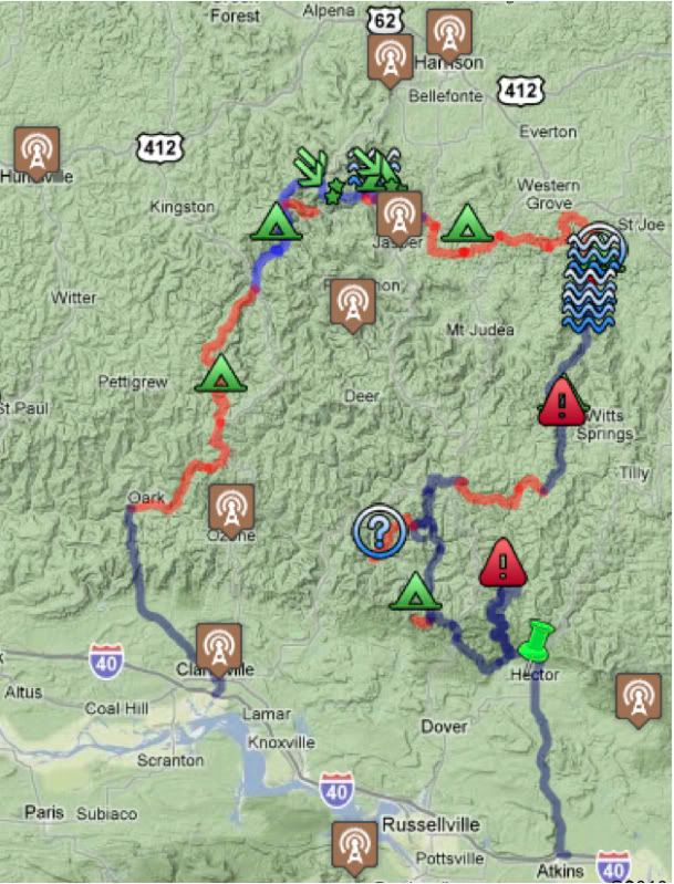
Illinois River watershed, Big Piney watershed, Richland Creek watershed, and the Buffalo National River watershed
Another excellent trip here in the Central States, and was designed scout new areas so as to ensure that follow-on ExPo group trips are as exceptional as possible. Get ready for this spring, everyone: the trip's going to be epic. (Or maybe both of them.... Yep, I'm thinking one in April and another in May. There's just so much to see and do here!)
Boy, oh boy, Saturday was a bruiser. We covered about 5 miles in 8 hours. But, I digress. Perhaps I will allow Ryan, Mike, or Neal delve further into those details.
For now, pics, vids, and notes...
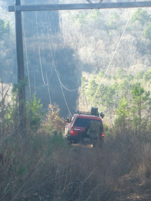
Power lines are always a winner.
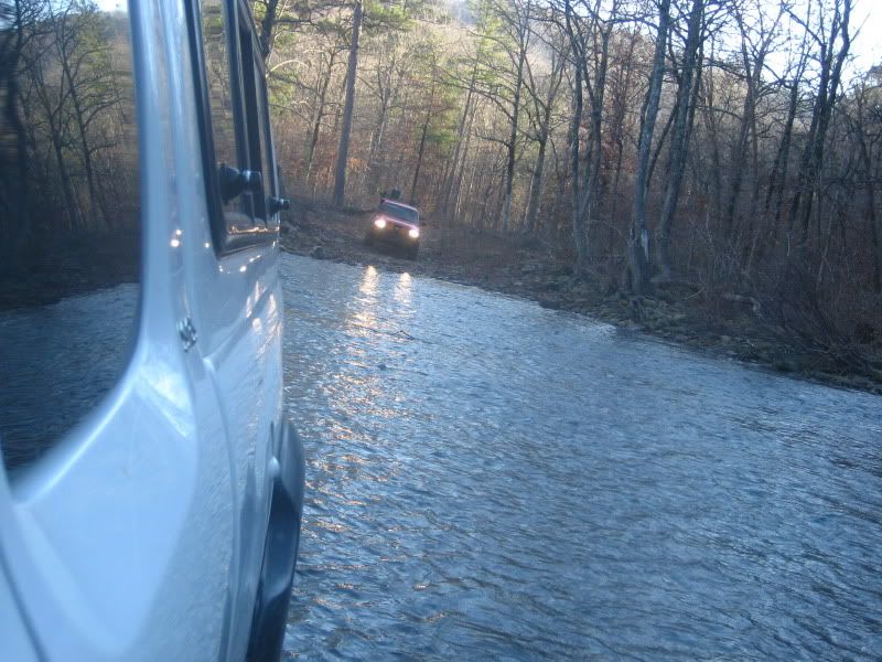
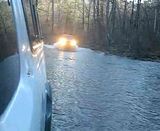
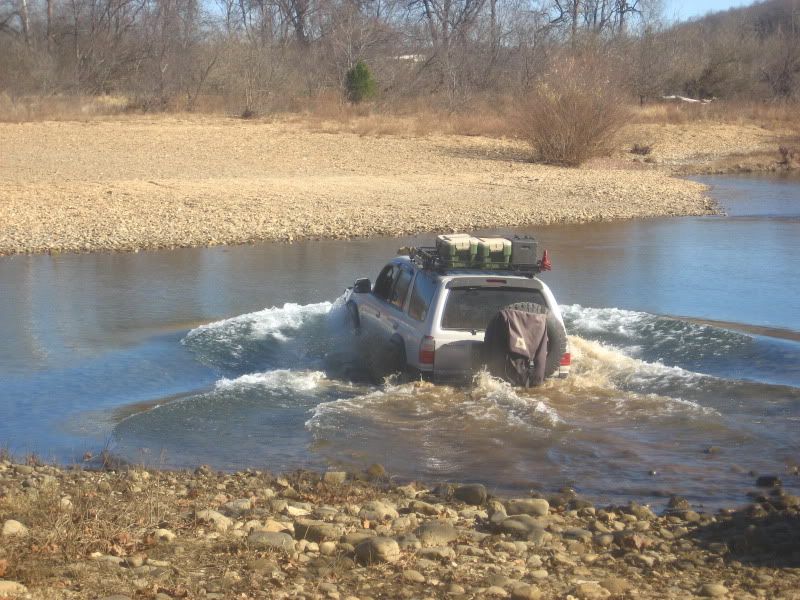
Always water in Arkansas.
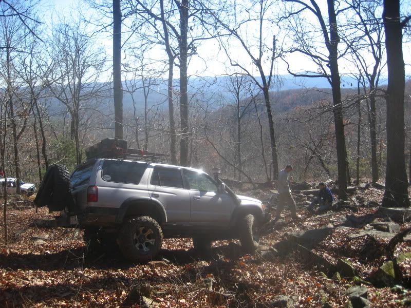
Lots of ground to cover demanded that we work long hours.
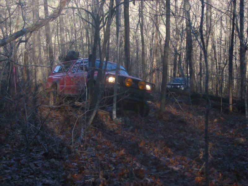
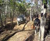
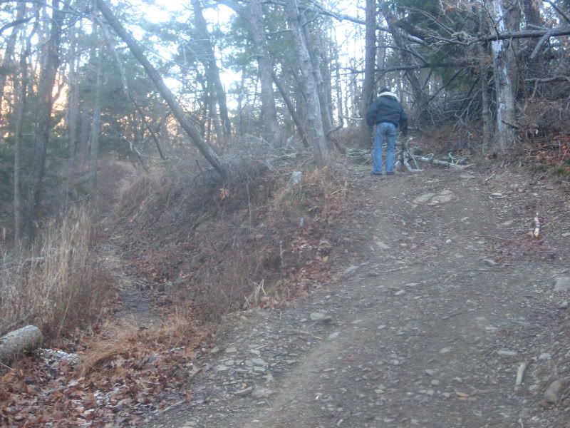
Early on Saturday. The trail was exceptionally tight, and according to a local guy in a nicely built Suzuki Samurai we met at the bottom of the mountain, it was also "impassable to anything but bicycles and ATVs."
He can now add Toyotas to that list.
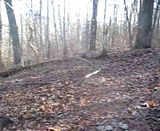
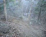
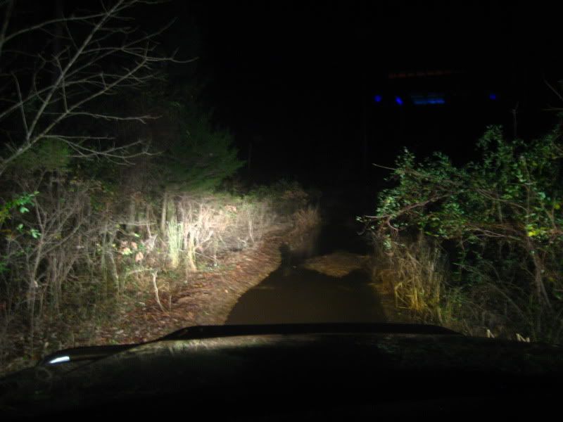
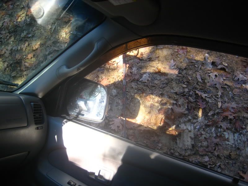
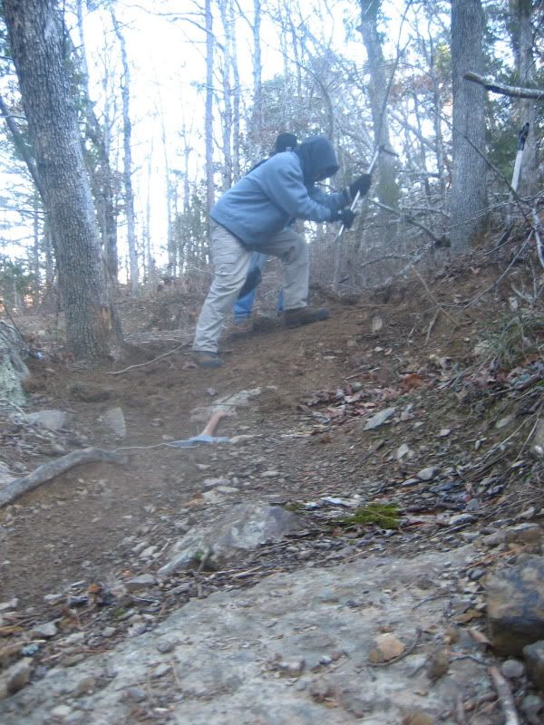
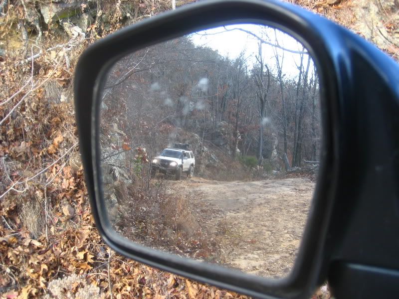
Can you spot the trail? Don't feel bad, we barely could either.
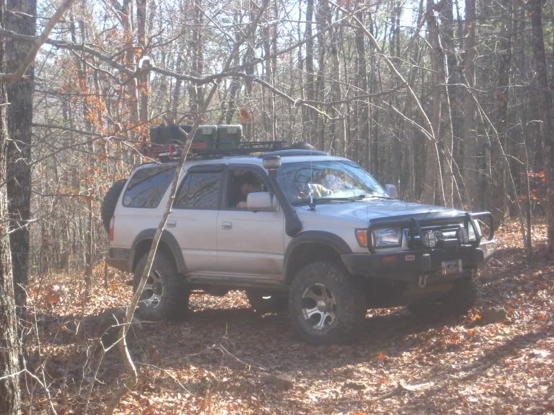
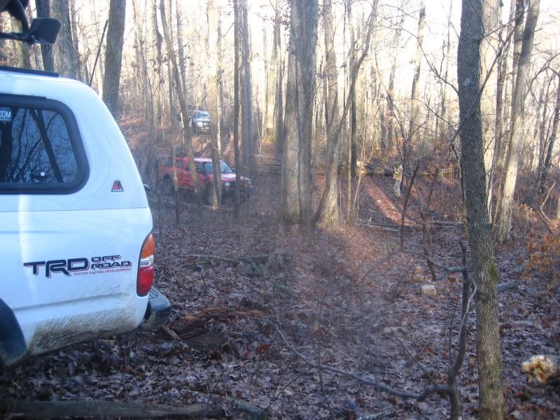
Gratuitous truck shot.
Gettin' sideways! (You'll have to wait until RSB posts his pics to see just how off-camber I was.... with 225ish lbs on the roof, mind you. :Wow1: Close call here.)
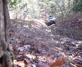
Saturday's rockslide, and the main reason we were told to not attempt this leg of the route. This is Leary, in a downhill off-camber position on unstable ground. This is on the approach to the rock garden, and he was stuck in this position by the driver's side rear pressing against a tree. Any forward movement would've shattered glass and dented the left rear quarter.
But what a gorgeous place to be stuck!

Opposite side of above pic: We used an X-Jack to create some airspace between the truck and tree, a Hi-Lift to lift the rear end off the ground, and my winch to snatch him back uphill onto his line....
All this just to START negotiating the actual rockslide. It was another three hours until all three of us got past this, using all combined wit and experience, a dozen or so single- and double-line, straight and angled winch pulls (including RSB burning up his Warn M8000), route repairs by rolling away, backfilling with, and/or stacking countless rocks, and literally using every other recovery tool at our disposal, all in direct coordination with one another throughout this particular.... wait for it..... wait for it...........
100 meter section. :xxrotflma (Sorry, inside joke there.)
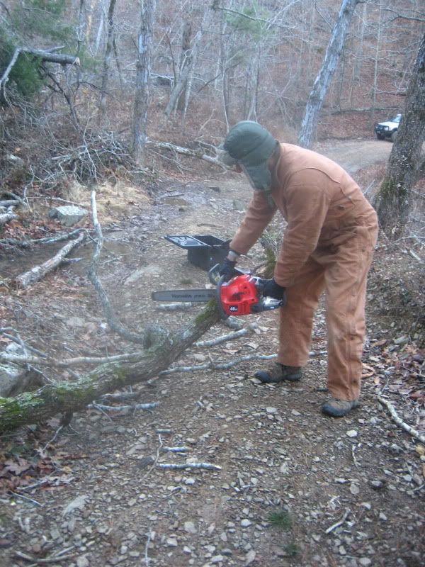
The next landslide, pre-road improvements.
Improvements underway...
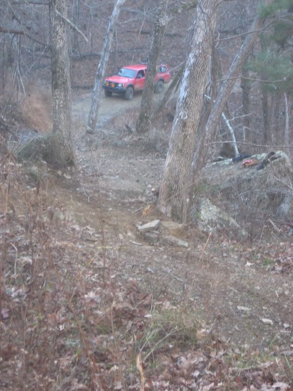
The view of our line through the slide site.
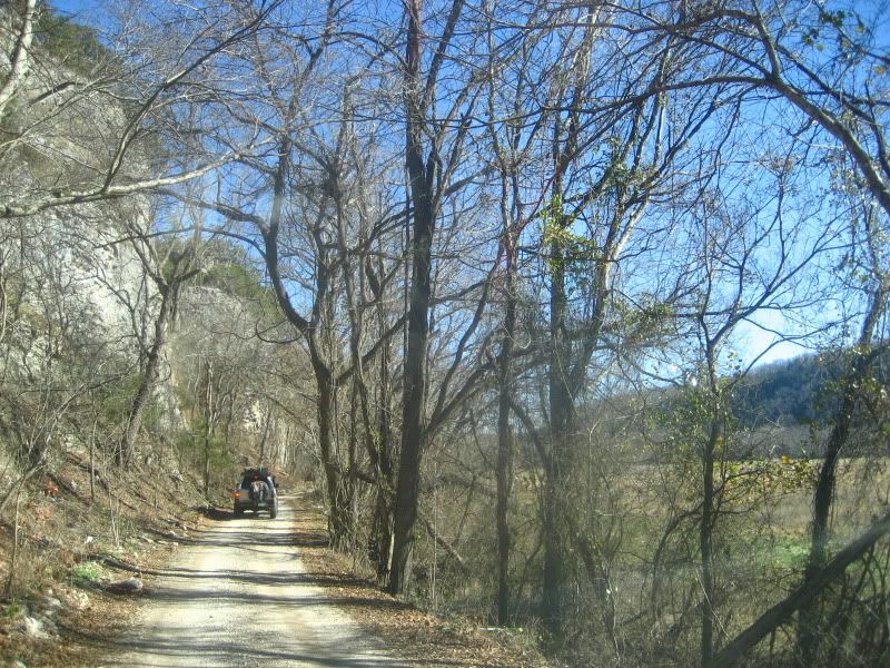
Finally, good road! Richland Valley.
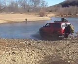
Buffalo National River, Wollum crossing.
Climbing away from the river.
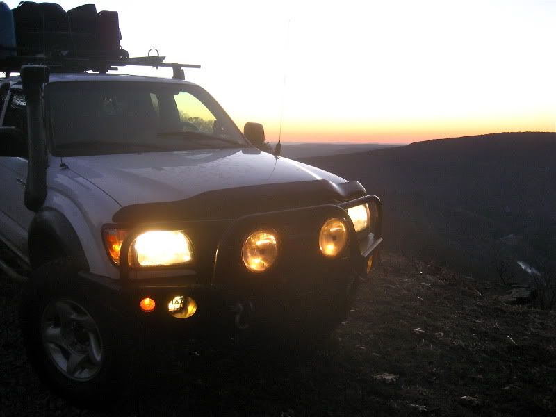
Parting shot.
Honestly, I can't wait to see what the other guys' pics will show. Hopefully, there's a way to better demonstrate just how difficult the trail was on Saturday....
Or maybe you'll just have to come along in April/May to see for yourself!
")
Hope everyone enjoys these. I'll get some vids up very soon.
Thanks for riding along.
Wes
(PS> Thanks to Mike (Mr. Leary), Ryan (RSB), and Neal (TheBlackSheep) for tagging along on this trip; I could not have done this one alone. Scouting trips are much more work than play, so I appreciate all the hard work from you guys and your willingness to spend long hours in the truck. Can't wait 'til the next one.)