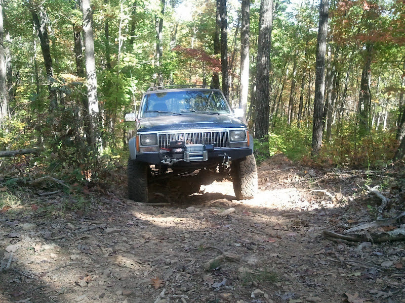
Ozark National Forest 10-05-10

codertimt

Observer
Here's a little report from a day trip I took last week. I have been scouring the new MVUM maps for awhile and decided to take this road in the Moccasin Gap area, and now it appears I'm probably the last non-ATV to run it...at least legally. I stopped by the Forest Service office in Russelville to pick up a road map and MVUM map and they told me the final MVUM was done and would be posted online later that day...when I checked, it seems the road we ran has been reclassified as 50" wide or less... It's a shame, because it would be a really pretty spring ride with some water flowing down the creek crossings... I now realize there are plenty of more "roads" and trails to choose from than what shows up on the main Forest Service Road map and the MVUM pamphlets.

Anyway it's FR 1820...

mg.jpg


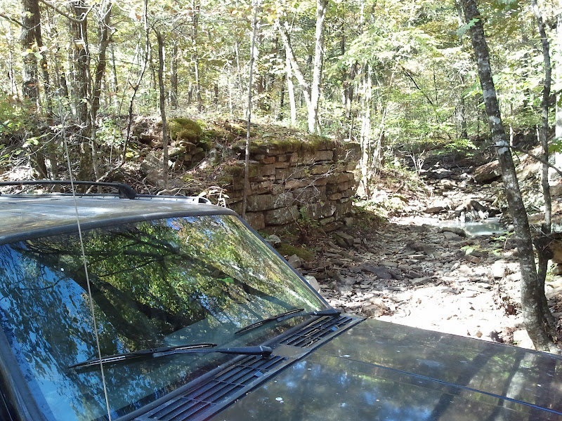
Cool little creekbed where you can see the remnants of where someone in the past build up the roadbed for a bridge across the creek.
2010-10-05%2010.54.58.jpg

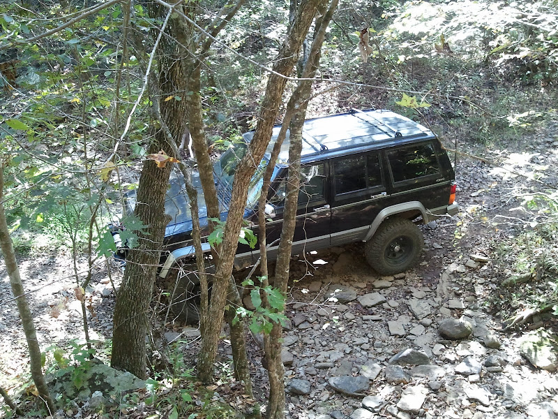
And looking down from the raised roadbed...
2010-10-05%2010.53.57.jpg


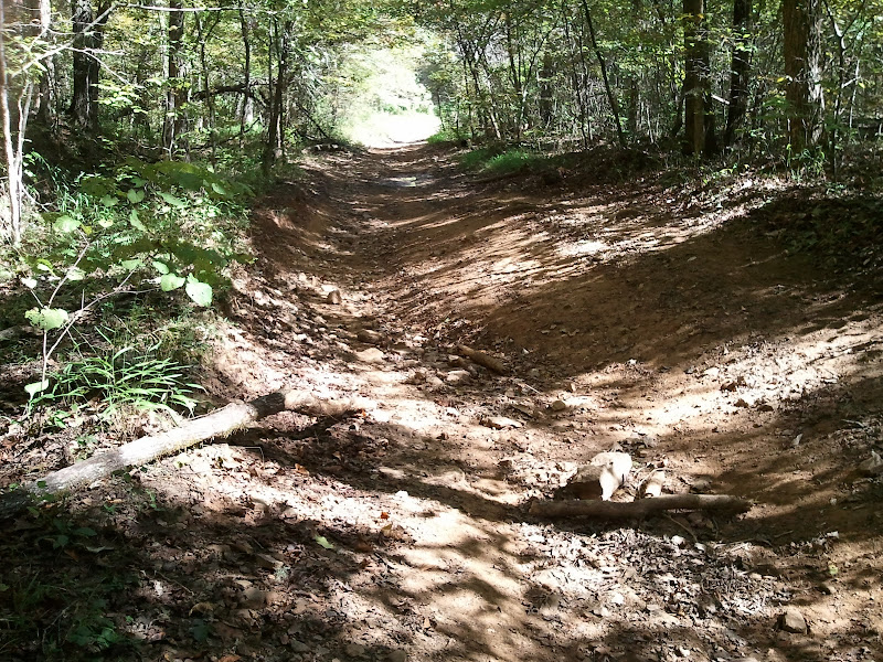
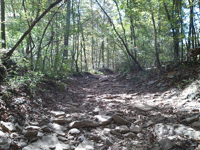
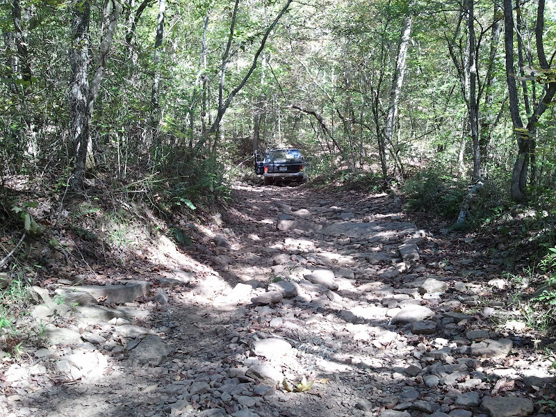
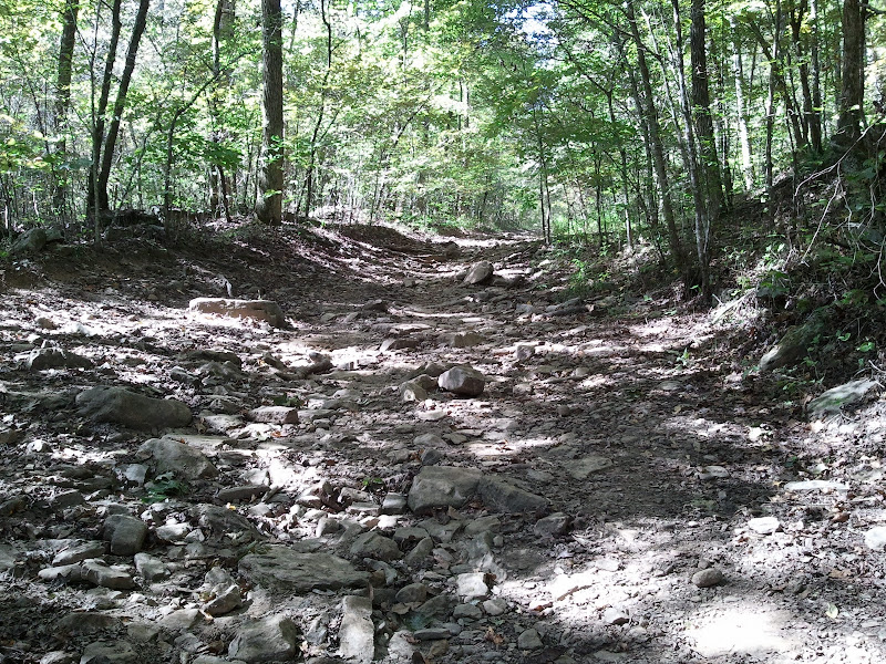
Examples of the terrain..perfect for an easy trail ride...
2010-10-05%2011.29.38.jpg

2010-10-05%2011.29.54.jpg

2010-10-05%2011.36.59.jpg

2010-10-05%2011.37.23.jpg


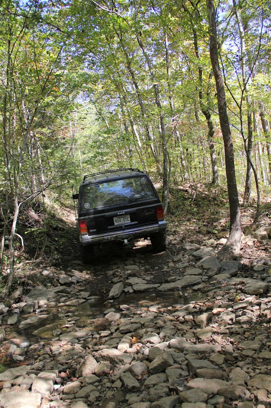
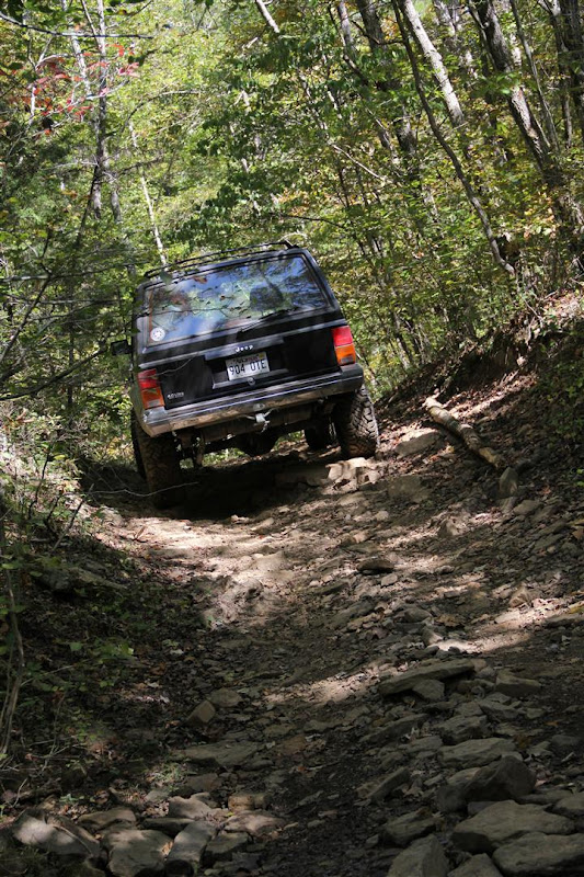
Tried to get the wife to take a few action shots with the real camera(all of the other pics are from my cell)...turned out being a lot less dramatic looking than I'd hoped.
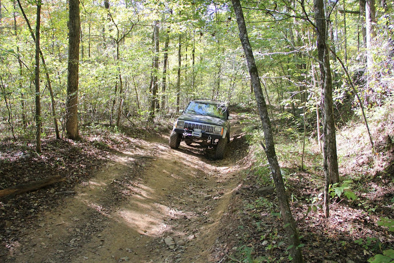
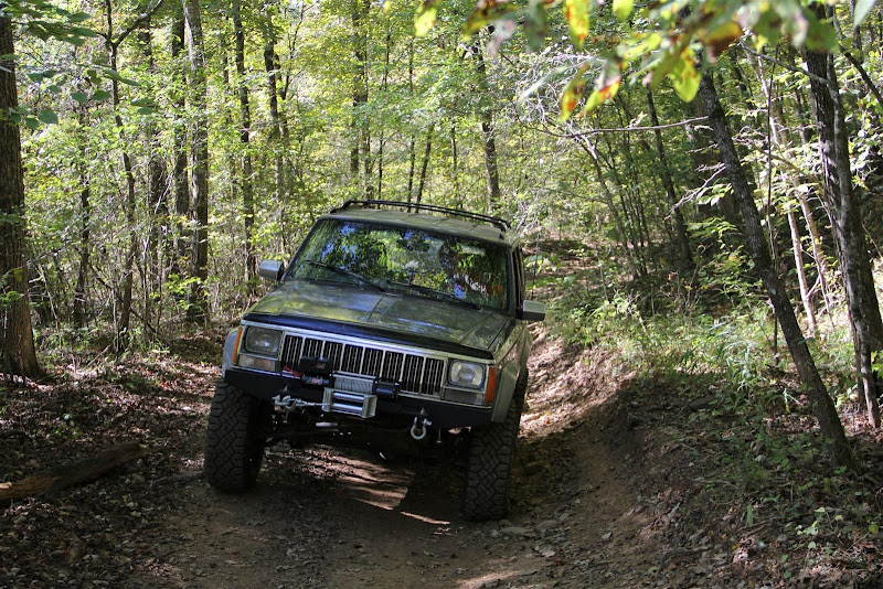
IMG_5503%20%28Large%29.JPG


IMG_5507%20%28Large%29.JPG


IMG_5523%20%28Large%29.JPG
IMG_5529%20%28Large%29.JPG


Then things got a little more exciting...first was because of uncertainty...then things got a little tight...
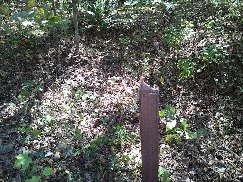
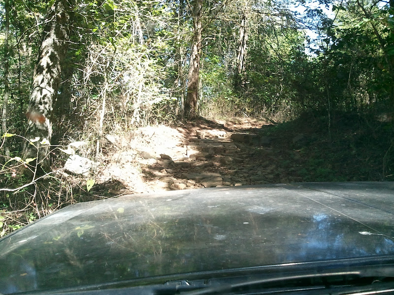
2010-10-05%2011.38.00.jpg

2010-10-05%2012.20.34.jpg


Then the road ended up on private property. No "keep out" signs or anything, just slow down and don't litter. Still made me uncomfortable for some reason. Anyway, not sure why the first 3/4 of the road got and ATV only classification. I can only assume it's because the rest of the area is ATV trails and it will help keep the riders safer. The last 1/3 is actually marked as an "OHV Access Road", it contained the only tight spots...and that's only a concern if you're worried about your paint... I've noticed they've done the same thing in the Brock Creek area. Two roads that were open to any vehicle were reclassified as 50" or less. Oh well, I guess I'll just stay away from those areas and hunt out other roads...there are plenty to choose from...

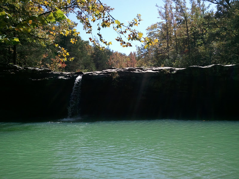
To finish the day, we ran up 7 to Hwy 16 and then over to FR 1205 and drove to Falling Water Falls. Not much water this time of year, but still a pretty area.
2010-10-05%2013.36.08.jpg


Then to finish the finish of the day, we decided to track down "Boyd's Cemetery" on FR 1008. Started out as a simple gravel road, then quickly digressed to this... I don't think my wife is fully on board with the whole offroading thing yet...


Misread the map and ended up not going quite far enough to reach the cemetery...oh well, I go my last little bit of offroading in before heading back to pavement...

Few more pics here if you're interested...
http://picasaweb.google.com/codertimt/OzarkMtnTrails#
 

okiediver72

New member
Ha ha! Sounds like my wife. I crossed a small stream going from the main (gravel) road to a secondary, yet well worn, wildlife department road and you'd have thought I was driving into the Mississippi, determined to drown us all. My idea of fun is exploring and going to out of the way places to hunt, fish, and hike around. Her idea of fun is taking a paved road to the casino.
:(
What to do, what to do?
 

codertimt

Observer
Looks like a great day in the woods. I really need to pick up a MVUM map.

Always a great day in the woods. :smiley_drive: At this point, I'm not certain picking up their printed MVUM pamphlet map is worth it...at least in regards to an offroad vehicle. It's really more geared toward the ATV crowd and where they can be. It doesn't show hardly any of the normal forest road...for example I don't think any of the roads I ran were on that map. I guess it's technically needed to make sure you don't get on an ATV only trail, but for the most part those are only around the designated multi use areas(Brock Creek, Moccasin Gap, etc). Otherwise it's pretty much, if you fit and there's not a gate...run it. What I find to be the best map to study is the online MVUM maps. They show the most roads, unfortunately it's not easy to get a good idea of the level of the road from the map.

http://www.fs.fed.us/oonf/ozark/recreation/OHV/routes.html

It's what I used on my last outing combined with Google Earth and it worked out great to always know where I was...I'll explain more below.

Ha ha! Sounds like my wife. I crossed a small stream going from the main (gravel) road to a secondary, yet well worn, wildlife department road and you'd have thought I was driving into the Mississippi, determined to drown us all. My idea of fun is exploring and going to out of the way places to hunt, fish, and hike around. Her idea of fun is taking a paved road to the casino.
:(
What to do, what to do?

My wife is into photography right now so I'm trying to work that angle. Unfortunately she doesn't care for landscape/wildlife that much...says she prefers taking shots of people. So I guess I just need to get random people to stand out in the woods and then maybe she would go.

we are planning a trip in november in the mark twain would you be interested in joining ?

I would be interested, but I'm going to have a busy Nov, so I'm not sure if I could make it work. Is there a thread with details?


Also since I'm posting here, I'll go ahead and add my latest little trip info. I set off Wednesday to check out the far eastern side of the NF. Not quite as scenic as other sections of the forest, but still nice. Quite a bit of fairly recent timber thinning in some sections and lots of apparent ice storm damage in others. But my main goal was to just check out some of these roads I've been studying on maps and also test out my budget forest gps navigation system.

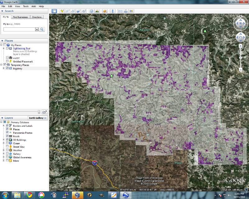
First I'll explain about that a little. Basically I downloaded the pdf for Big Piney from the link above. Opened it in the Gimp(free image editing software) and cut out the main map and saved it as an image. Then using a little program called mapc2mapc(http://www.the-thorns.org.uk/mapping/) I applied coordinates to the image and output it as a "Garmin Custom Map". I don't know much about formats yet, but it's a .kml file and associated tiles that can be opened as an overlay in Google Earth...looks like this...

bigpiney1.jpg


I added the "posting purple" for private property and made the thin grey roads orange so they would show better. Combine this on a laptop with an external gps receiver and using a little program called GooPs(http://goopstechnologies.com/) to add realtime tracking to Google Earth and I have a very workable solution that pretty much showed me where I was at all times. All the roads lined up remarkable well...not perfect at times, but always good enough to know where I was.

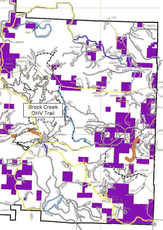
Anyway, back to the outing. I'll reference the map below with the route I took detailing each section. Unfortunately I don't have a good record of anything because I apparently screwed up the camera I took when I dropped in the night before. All of my pics ended up with no detail...like they were run through a "oil painting" photoshop filter. I'll through a few in anyway... But the major disappointment is that I took tons of dash cam video that is equally poor. I'll probably still try to edit it and post it, but it's really crummy. Looks very low res.

The map.
route33.jpg


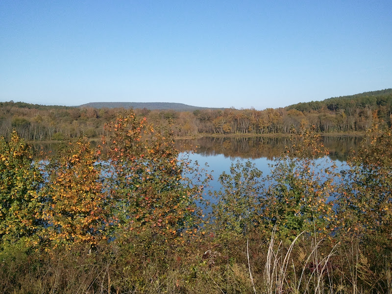
So I came up HWY 95 and entered the forest on FR 1384. This is a massively wide gravel road...quite busy. I turned off the first chance I got onto 93021. Also just a gravel road as it's map designation would indicate. First stop was at a little reservoir. The little road I went in on was easily passable with a 2wd, but the exit road I took I would say was 4wd recommended. It was steep and slick dirt, possibly could have made it in 2wd, but I threw it in 4hi just to avoid any unnecessary tire spin.

This is from my phone...actually better than the camera pics on this fine day... As you can see fall color is sporadic. Not great here, but other places were quite nice.
2010-10-20%2009.39.43.jpg


So back to the gravel up to where you see the very small red mark. The plan was to run the road that red trail was on up to 1334, the main road above it. Well, the satellite image didn't really show anything in the section of private land there, but apparently there is a semi-permanent deer camp there. There was someone outside, so I drove up and chatted just a little bit. He was real nice and said it was just an ATV trail out the other side. I wanted to see for myself how wide it was because it was a public road on the other side of the property...but since I was standing on his land I didn't think it would be nice to argue. :) So I turned around and headed back down the gravel...

So continue on until the blue road. That is 93023G I believe. The first time I brought the wife out here, Google Maps actually routed us down this road and wifey said no...and she would have killed me if I would have taken it. 4wd recommended with a nice drop on one side. Mostly just rough with large rocks and all in all a nice scenic little cut through. Rough enough it would probably be faster to just drive around on the gravel, but that's not the point now is it. There's a little offshoot at the end I would say leave to the ATVs as it's quite narrow.
100_1816.JPG


You end up on gravel again going over the dike at the end of Brock Creek Lake...supposed to be Eagle viewing here I think...not sure when is peak time for that. Ended up on the other side of 1334 than I wanted to be, but a quick run down the gravel and I came to 1318, again labeled in blue. This was a nice little trail. Not too rough where you're constantly have to creep along to keep from bouncing around all over the place, but definately not just a gravel road. 4wd recommended. I ran it in 2wd without issue, but anything heavier would probably have traction issues in places.

So now we're back to gravel on 1307 over to 1342. I was concerned about the private property sections around here, but they were not an issue. The first section ran right against the private property line. Posted purple on the left and public land on the right. The next private section it goes straight through...but this wasn't even posted in any way so no problems. It comes out into a section of switchbacks. Up until this point 1342 was large gravel/rock but easily passable in 2wd. The switchback were another story. Quite washed and rutted. 4wd highly recommended going down as I was...I'm pretty sure 4wd required going back up. I would like to run this section the other direction as I'm sure it would be more fun going up. Ended up in a creek crossing(dry right now) where I stopped for lunch.
100_1823.JPG

100_1824.JPG


Headed on up the road and the followed the blue path on the 93006 roads. Found my only unexpected gate on 93006A. I knew it dead ended anyway, so it was no big deal. Found it a bit strange to have a gate halfway down the road. I don't remember every section through here, but I'm pretty sure it's 4wd drive required. I remember being in 4low quite a bit. Low range probably not required, but made life easier descending steep rough terrain.

Made it back to the gravel and decided to run it for awhile thinking I would stumble upon a cell signal to check in on the wider more open area. No such luck. So I dipped back down into the NF and decided to check out the little loop. The road in was passable in 2wd. Large gravel, some rocks. But the loop section was definitely 4wd only and full size need not apply. Couple pretty steep rough sections, few very rutted out mudholes, and lots of limbs and branches. Fortunately I've completely given up on my black paint..so I just let them scrap by. Fun little loop. As I was headed up the first steep section, I quickly found I was still in 2wd. As I was putting it into 4wd, I heard my phone...I actually had a signal somehow... Wife called and said one of the kids was sick...she had thrown up at school for the second time this week but has no apparent other symptom...anyway although she's fine and there's nothing I can really do I'm concerned about this and cut the rest of my day a few hours short. Fortunately(kind of) one of my other kids puked today, so it's not some mysterious autoimmune disease or nervous issue from anything happening at school(what I was worried about), just apparently some weak stomach bug. No symptoms and they feel fine 99% of the time...except the 1% of vomit time...but I digress.
2010-10-20%2013.48.08.jpg


Anyway, after that loop, pretty much followed the gravel road most of the way back down. Took a quick final loop to check out that southern section, but it didn't hold my interest, so I headed on home. All in all a good day. Will make my way a bit more towards the west next time...Already looking forward to it...
 

Forum statistics

Threads
189,879
Messages
2,921,797
Members
233,084
Latest member
Off Road Vagabond
Top