codertimt
Observer
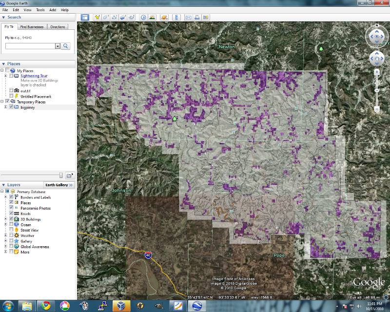
Here's a little report from a day trip I took last week. I have been scouring the new MVUM maps for awhile and decided to take this road in the Moccasin Gap area, and now it appears I'm probably the last non-ATV to run it...at least legally. I stopped by the Forest Service office in Russelville to pick up a road map and MVUM map and they told me the final MVUM was done and would be posted online later that day...when I checked, it seems the road we ran has been reclassified as 50" wide or less... It's a shame, because it would be a really pretty spring ride with some water flowing down the creek crossings... I now realize there are plenty of more "roads" and trails to choose from than what shows up on the main Forest Service Road map and the MVUM pamphlets.
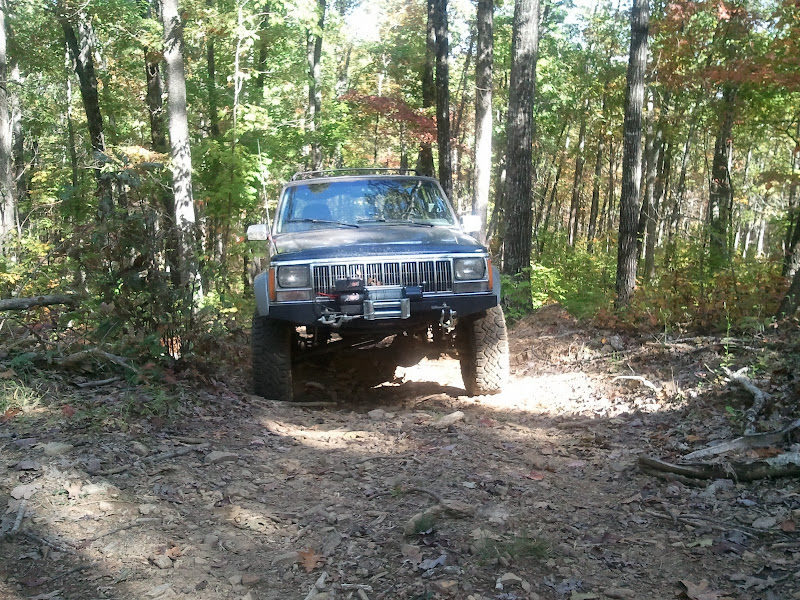
Anyway it's FR 1820...

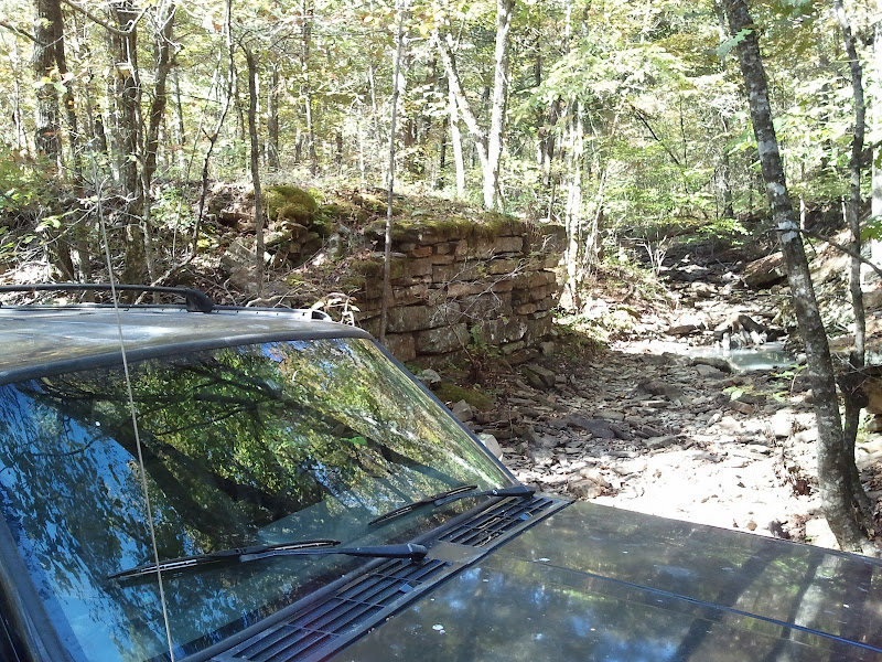
Cool little creekbed where you can see the remnants of where someone in the past build up the roadbed for a bridge across the creek.
And looking down from the raised roadbed...
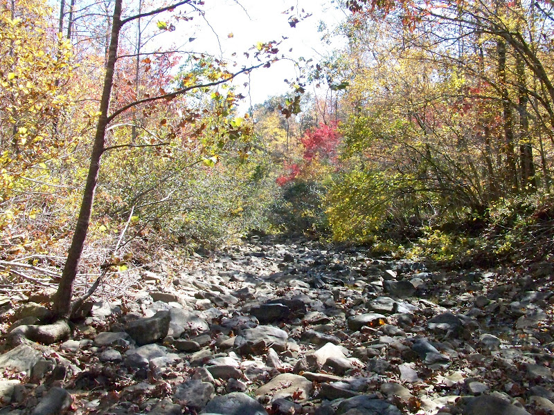
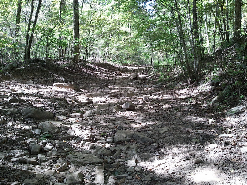
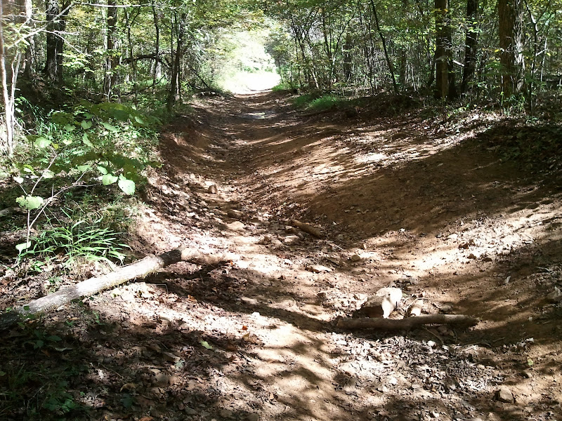
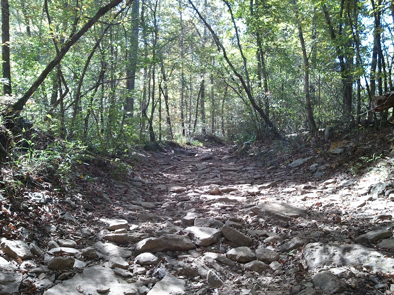
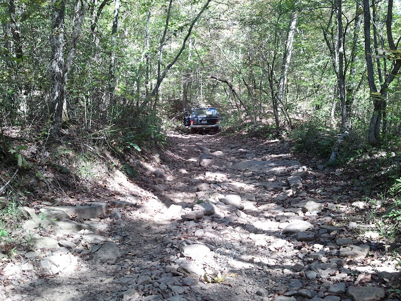
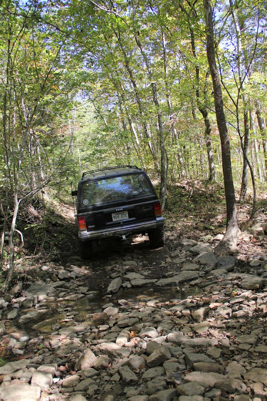
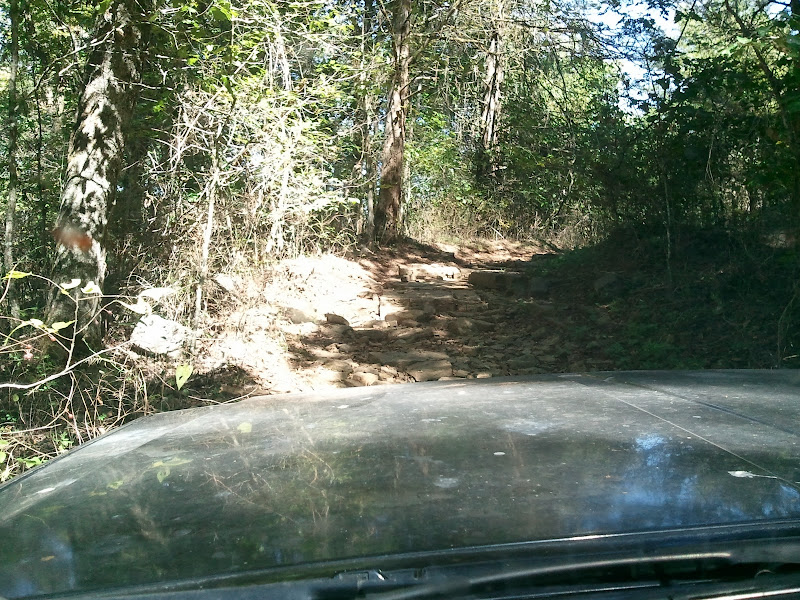
Examples of the terrain..perfect for an easy trail ride...
Tried to get the wife to take a few action shots with the real camera(all of the other pics are from my cell)...turned out being a lot less dramatic looking than I'd hoped.
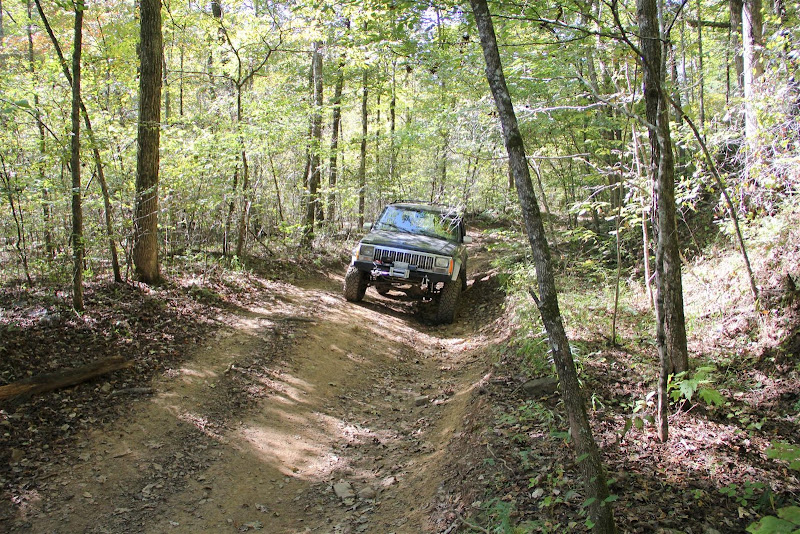
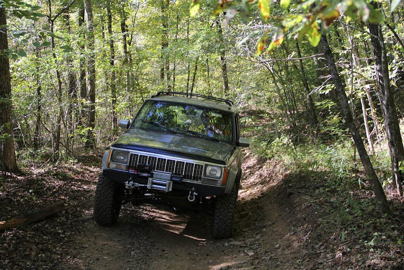
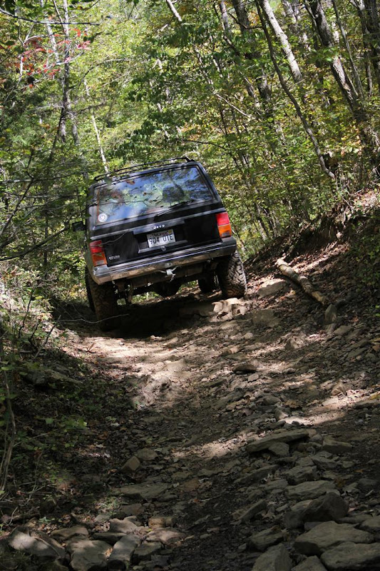
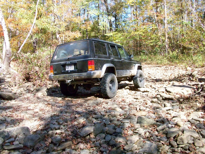
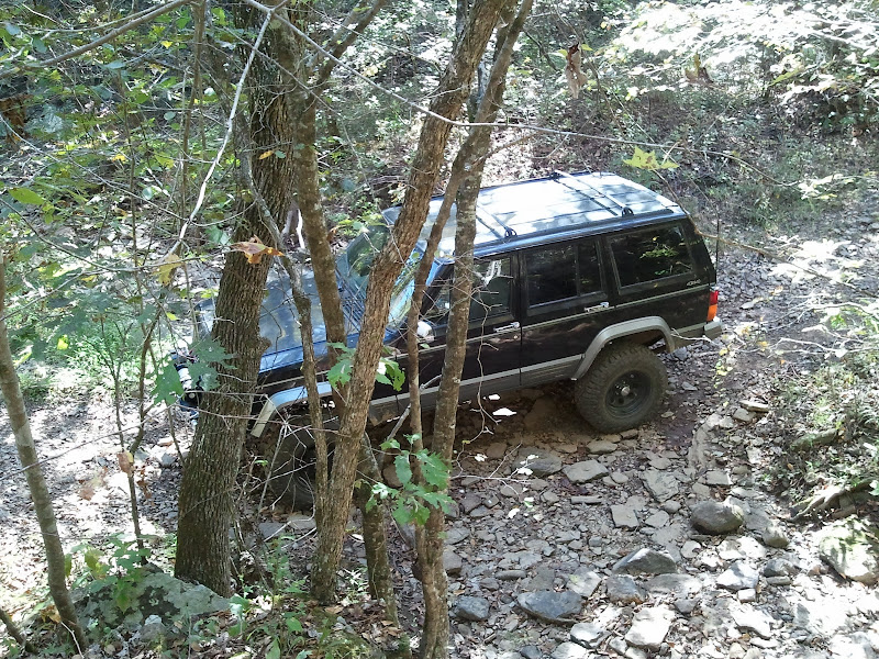
Then things got a little more exciting...first was because of uncertainty...then things got a little tight...
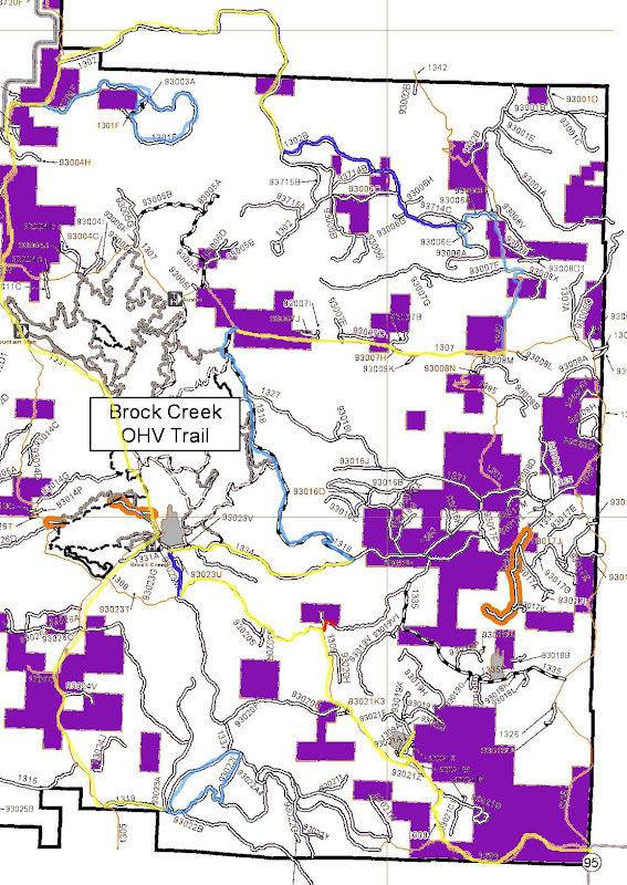
Then the road ended up on private property. No "keep out" signs or anything, just slow down and don't litter. Still made me uncomfortable for some reason. Anyway, not sure why the first 3/4 of the road got and ATV only classification. I can only assume it's because the rest of the area is ATV trails and it will help keep the riders safer. The last 1/3 is actually marked as an "OHV Access Road", it contained the only tight spots...and that's only a concern if you're worried about your paint... I've noticed they've done the same thing in the Brock Creek area. Two roads that were open to any vehicle were reclassified as 50" or less. Oh well, I guess I'll just stay away from those areas and hunt out other roads...there are plenty to choose from...
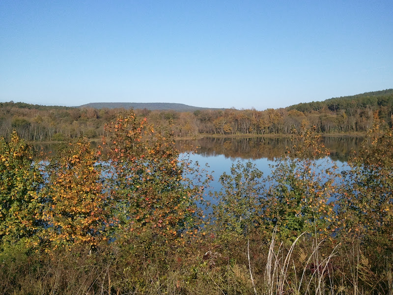
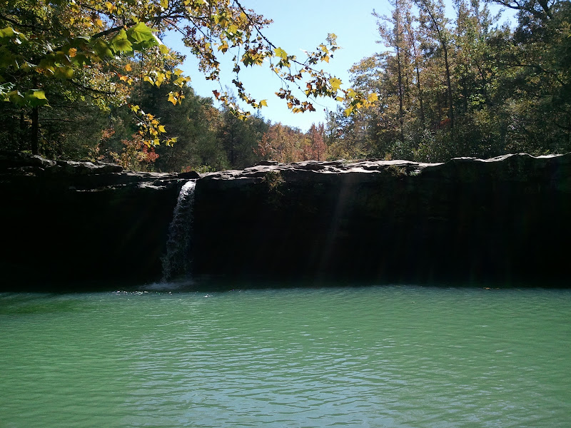
To finish the day, we ran up 7 to Hwy 16 and then over to FR 1205 and drove to Falling Water Falls. Not much water this time of year, but still a pretty area.
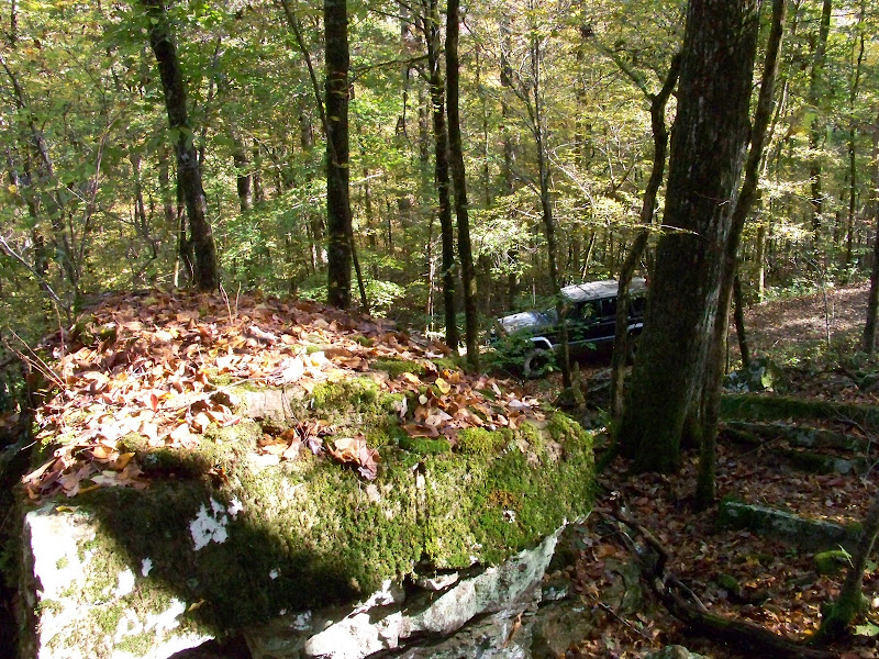
Then to finish the finish of the day, we decided to track down "Boyd's Cemetery" on FR 1008. Started out as a simple gravel road, then quickly digressed to this... I don't think my wife is fully on board with the whole offroading thing yet...
Misread the map and ended up not going quite far enough to reach the cemetery...oh well, I go my last little bit of offroading in before heading back to pavement...
Few more pics here if you're interested...
http://picasaweb.google.com/codertimt/OzarkMtnTrails#
Anyway it's FR 1820...
Cool little creekbed where you can see the remnants of where someone in the past build up the roadbed for a bridge across the creek.
And looking down from the raised roadbed...
Examples of the terrain..perfect for an easy trail ride...
Tried to get the wife to take a few action shots with the real camera(all of the other pics are from my cell)...turned out being a lot less dramatic looking than I'd hoped.
Then things got a little more exciting...first was because of uncertainty...then things got a little tight...
Then the road ended up on private property. No "keep out" signs or anything, just slow down and don't litter. Still made me uncomfortable for some reason. Anyway, not sure why the first 3/4 of the road got and ATV only classification. I can only assume it's because the rest of the area is ATV trails and it will help keep the riders safer. The last 1/3 is actually marked as an "OHV Access Road", it contained the only tight spots...and that's only a concern if you're worried about your paint... I've noticed they've done the same thing in the Brock Creek area. Two roads that were open to any vehicle were reclassified as 50" or less. Oh well, I guess I'll just stay away from those areas and hunt out other roads...there are plenty to choose from...
To finish the day, we ran up 7 to Hwy 16 and then over to FR 1205 and drove to Falling Water Falls. Not much water this time of year, but still a pretty area.
Then to finish the finish of the day, we decided to track down "Boyd's Cemetery" on FR 1008. Started out as a simple gravel road, then quickly digressed to this... I don't think my wife is fully on board with the whole offroading thing yet...
Misread the map and ended up not going quite far enough to reach the cemetery...oh well, I go my last little bit of offroading in before heading back to pavement...
Few more pics here if you're interested...
http://picasaweb.google.com/codertimt/OzarkMtnTrails#