FortyMileDesert
Adventurer
Playing in the Granite - Land Rover Trek 163 – 29 August 2009 – Also Winnemucca Lake, Kumiva Valley, the Burning Man City on the Black Rock, and the long ride home via the Blue Wing Mountains and Sage Hen Valley.
The participants: Tom freshly moved up from southern California to Dayton, Nevada; his neighbor Mike; John who accompanied me on the past two treks and me. We met up and introduced ourselves over breakfast at Chukars and got underway at about 845.
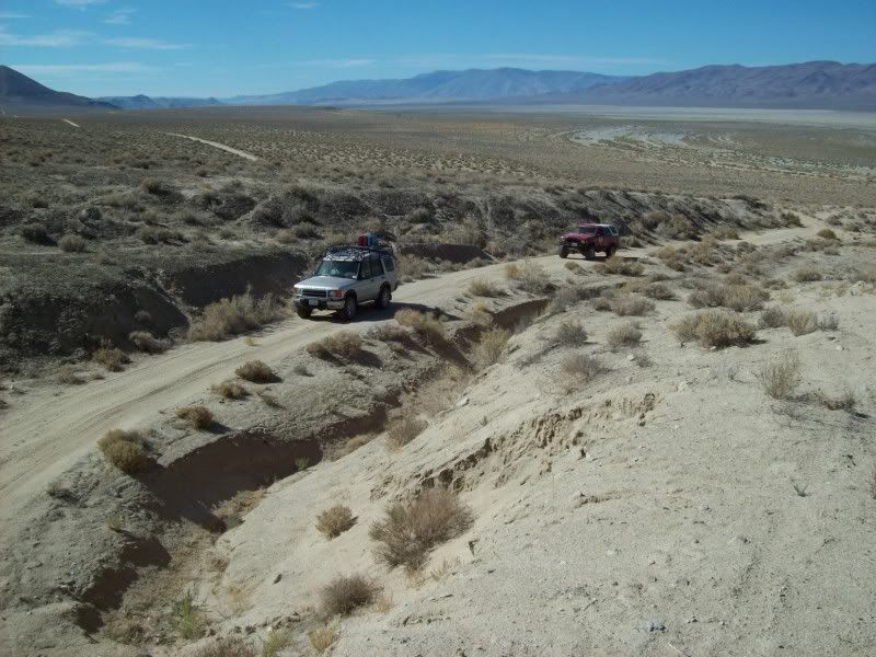
Twenty miles later we were off-road in the dirt at Nixon and headed north along the foot of the Nightingales on the beaches of dry Lake Winnemucca. These twenty odd miles have been covered before on several previous treks so I will not repeat the telling of it.
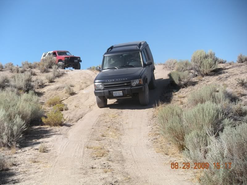
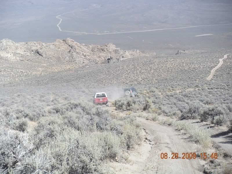
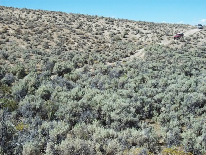
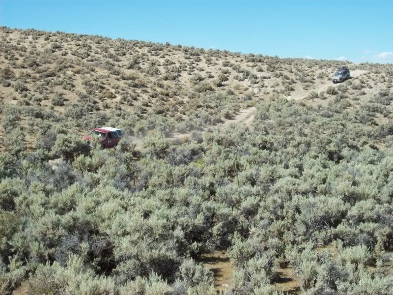
From Winnemucca we headed south-east up Stonehouse Canyon and then at the Granite Springs Ridge we caught the graded road north towards the Black Rock Desert via Kumiva Valley. This stretch is about 40 miles of cattle range land and we rolled along at better than 45 miles per hour, raising huge clouds of dust. The three trucks were spread more than a mile apart due to the very poor visibility in the dust. John has still not fixed his Toyota’s air conditioner so he was suffering. The temperatures for the day exceeded 95 degrees F, the humidity below 10% and only a very slight breeze from the west.
Upon reaching the Black Rock Playa we could see the Burning Man City being erected out in the middle of the alkali pan just to the north of us. By the end of the week the population out there should be approaching about 70,000. People were just arriving and a huge cloud of dust was engulfing the city; preventing me from getting any good pictures. How all those people survive the event is surprising to me.
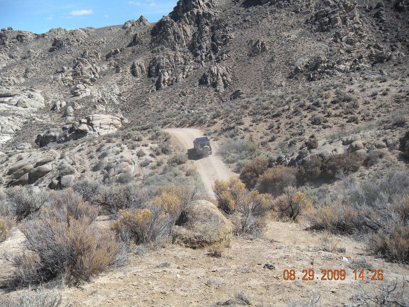
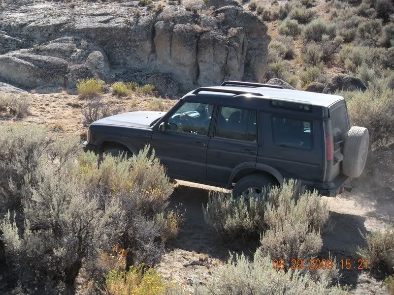
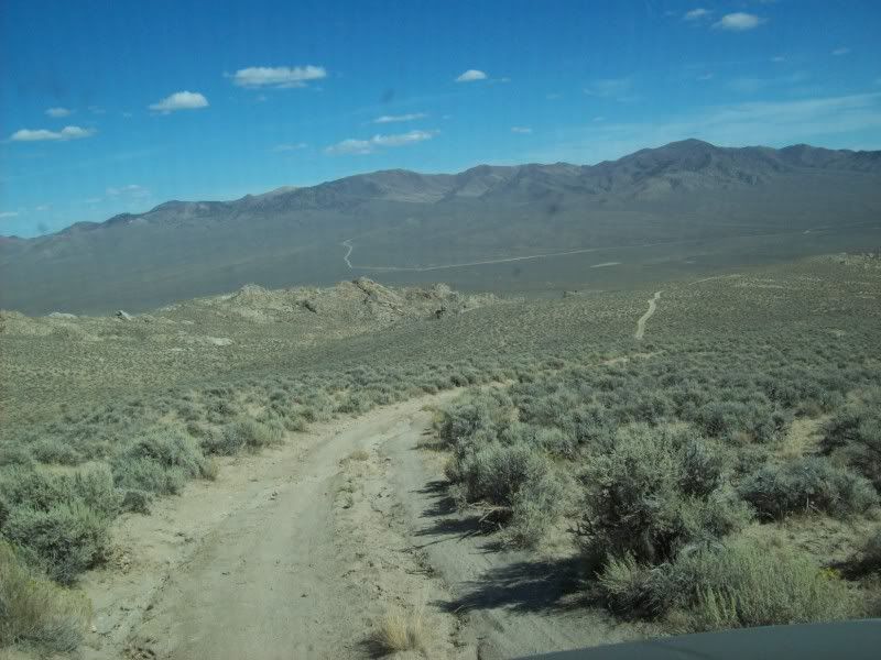
We headed east along the south side of the Black Rock to Pahsupp Mountain where we turned south east and navigated through sand washes and then over a low pass north of Dry Mountain until reaching the wash of Lava Beds Creek. We followed the creek south until we arrived at the corrals and bunk house amongst the granite of “Lava Beds Camp”. Some ancient cowboy had very little education in geology when he named the place. Evidently a round-up is in progress as the corrals have been freshly repaired, most of the pens have been grazed down to bare ground, signs of hay are around and there are still some cattle penned up in the arroyo of Eagle Rock Spring above us.
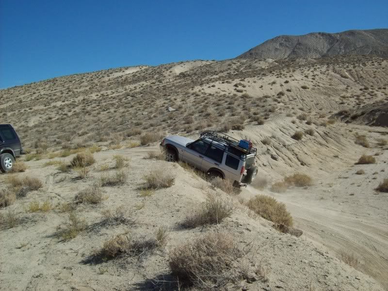
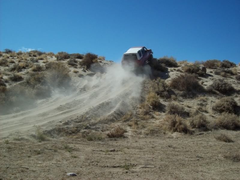
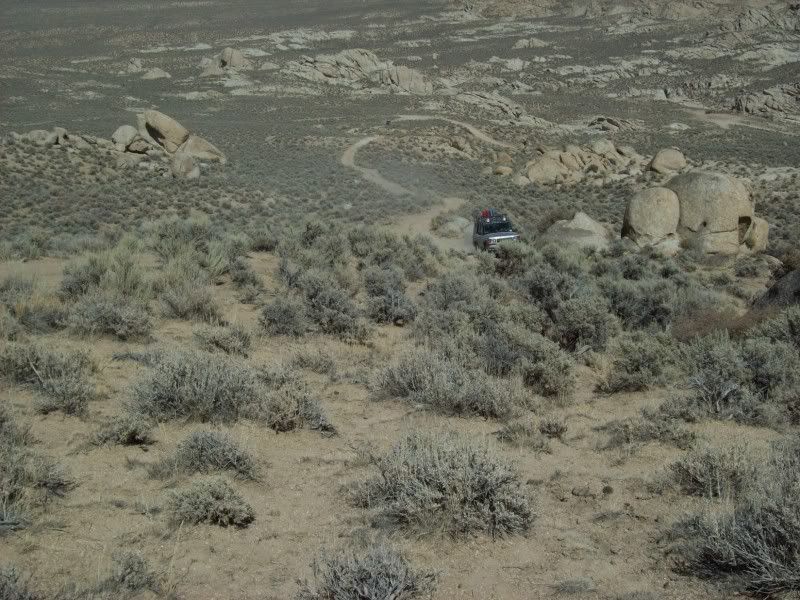
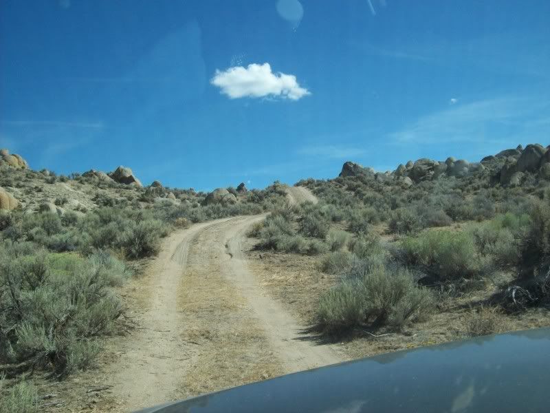
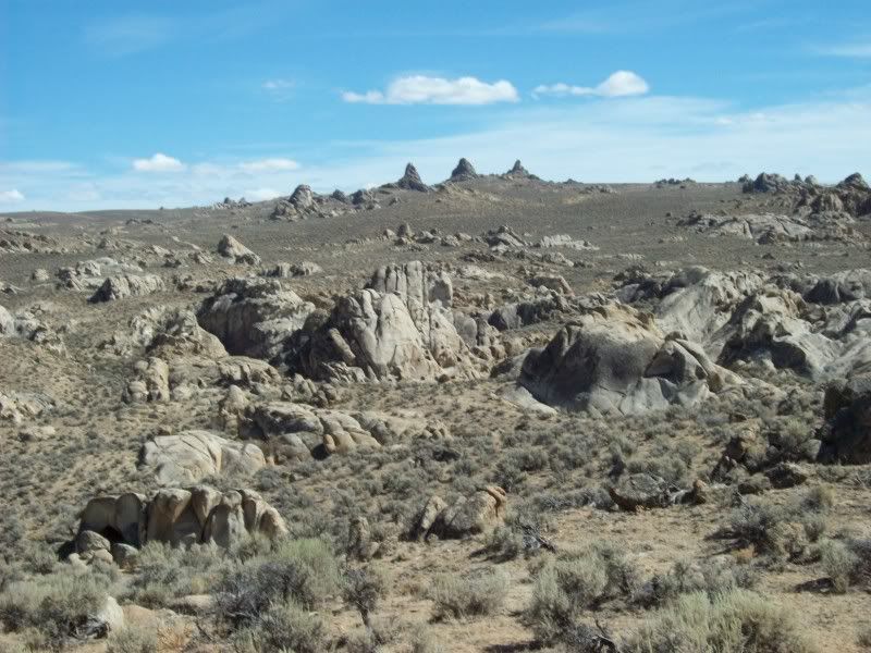
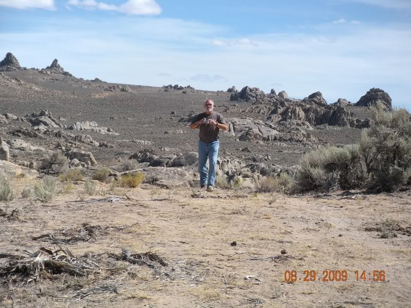
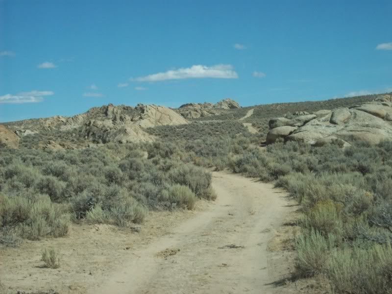
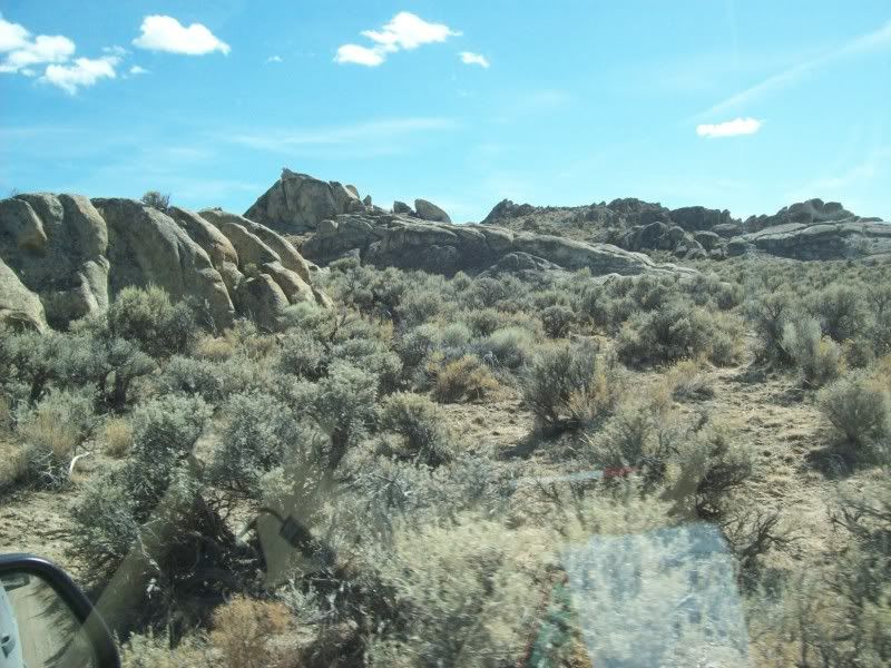
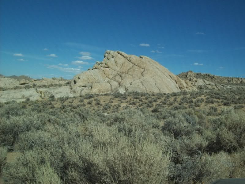
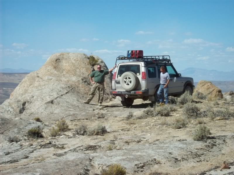
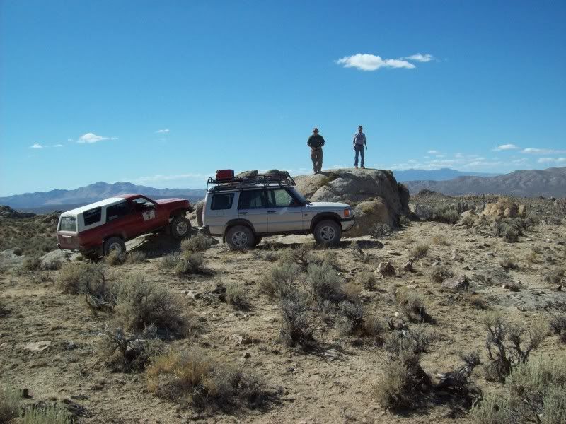
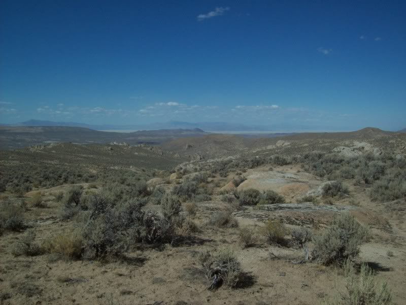
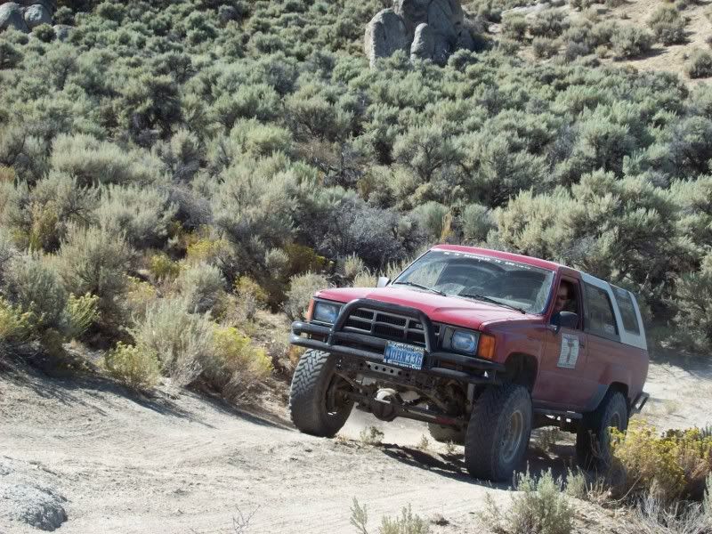
After a brief snack break it is time to explore some new country. We climb up the steep trail to the top of the granite escarpment. The next few miles are incredible. There are huge rounded granite boulders and spires everywhere; “The Lava Beds” are like a lunar landscape but with sage brush scattered all through it. There are several good year-round springs so it is easy to see why the local ranch has put so many cattle in the area. At one point we do a bit of posing on some granite above Mustang Spring where the views of the surrounding mountains and the Black Rock to the north are superb. I will definitely be back here again (though not taking the long way via the Black Rock).
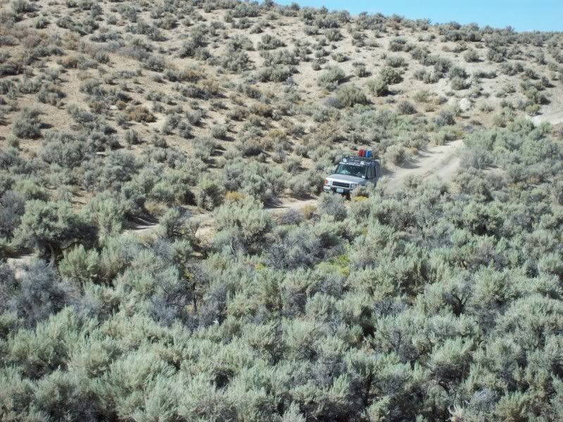
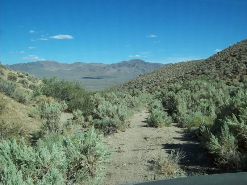
Leaving The Lava beds we travel about five miles wandering up and down crossing canyons and ridges to the east. At one spot there is a curious rock formation on a ridge top that at first I had thought was “Sheep Head Rock”, this morning studying the map a bit closer I find that it is really called “Elephant Head Rock”. From a distance it appears to span about 50 t0 75 feet over a void. There is a trail on the map that appears to go to within maybe 1000 feet of the rock. Another quest for Ben and me to undertake maybe.
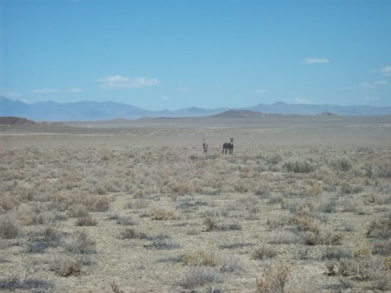
We finally reach Granite Spring Wash valley and turn south passing Dead Horse Spring, Hanna Spring, and Rattlesnake Spring and continue on towards Adobe Flat. We cross over Antelope Pass between the Blue Wing Mountains and the Sahwave Mountains and arrive back in Kumiva Valley.
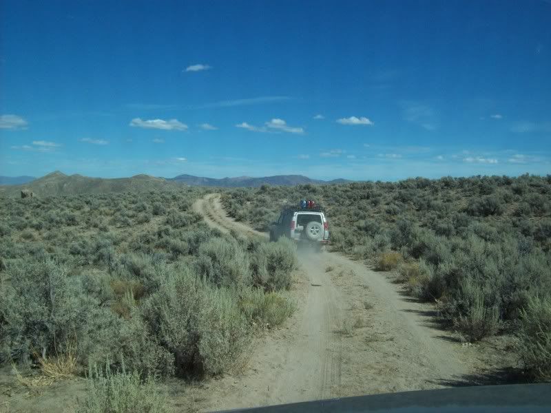
It’s getting pretty late and we are all tired. It is decided, democratically, that we will make a speed run south through Sage Hen Valley and Hot Springs Valley to the highway at Brady’s/Nightingale. We arrive there at about 730pm after a bit more than 200 miles off-road. It has been a long, hot, dirty, wonderful day. John heads east to Fallon, Tom and Mike west to Dayton and myself to Fernley.
The participants: Tom freshly moved up from southern California to Dayton, Nevada; his neighbor Mike; John who accompanied me on the past two treks and me. We met up and introduced ourselves over breakfast at Chukars and got underway at about 845.
Twenty miles later we were off-road in the dirt at Nixon and headed north along the foot of the Nightingales on the beaches of dry Lake Winnemucca. These twenty odd miles have been covered before on several previous treks so I will not repeat the telling of it.
From Winnemucca we headed south-east up Stonehouse Canyon and then at the Granite Springs Ridge we caught the graded road north towards the Black Rock Desert via Kumiva Valley. This stretch is about 40 miles of cattle range land and we rolled along at better than 45 miles per hour, raising huge clouds of dust. The three trucks were spread more than a mile apart due to the very poor visibility in the dust. John has still not fixed his Toyota’s air conditioner so he was suffering. The temperatures for the day exceeded 95 degrees F, the humidity below 10% and only a very slight breeze from the west.
Upon reaching the Black Rock Playa we could see the Burning Man City being erected out in the middle of the alkali pan just to the north of us. By the end of the week the population out there should be approaching about 70,000. People were just arriving and a huge cloud of dust was engulfing the city; preventing me from getting any good pictures. How all those people survive the event is surprising to me.
We headed east along the south side of the Black Rock to Pahsupp Mountain where we turned south east and navigated through sand washes and then over a low pass north of Dry Mountain until reaching the wash of Lava Beds Creek. We followed the creek south until we arrived at the corrals and bunk house amongst the granite of “Lava Beds Camp”. Some ancient cowboy had very little education in geology when he named the place. Evidently a round-up is in progress as the corrals have been freshly repaired, most of the pens have been grazed down to bare ground, signs of hay are around and there are still some cattle penned up in the arroyo of Eagle Rock Spring above us.
After a brief snack break it is time to explore some new country. We climb up the steep trail to the top of the granite escarpment. The next few miles are incredible. There are huge rounded granite boulders and spires everywhere; “The Lava Beds” are like a lunar landscape but with sage brush scattered all through it. There are several good year-round springs so it is easy to see why the local ranch has put so many cattle in the area. At one point we do a bit of posing on some granite above Mustang Spring where the views of the surrounding mountains and the Black Rock to the north are superb. I will definitely be back here again (though not taking the long way via the Black Rock).
Leaving The Lava beds we travel about five miles wandering up and down crossing canyons and ridges to the east. At one spot there is a curious rock formation on a ridge top that at first I had thought was “Sheep Head Rock”, this morning studying the map a bit closer I find that it is really called “Elephant Head Rock”. From a distance it appears to span about 50 t0 75 feet over a void. There is a trail on the map that appears to go to within maybe 1000 feet of the rock. Another quest for Ben and me to undertake maybe.
We finally reach Granite Spring Wash valley and turn south passing Dead Horse Spring, Hanna Spring, and Rattlesnake Spring and continue on towards Adobe Flat. We cross over Antelope Pass between the Blue Wing Mountains and the Sahwave Mountains and arrive back in Kumiva Valley.
It’s getting pretty late and we are all tired. It is decided, democratically, that we will make a speed run south through Sage Hen Valley and Hot Springs Valley to the highway at Brady’s/Nightingale. We arrive there at about 730pm after a bit more than 200 miles off-road. It has been a long, hot, dirty, wonderful day. John heads east to Fallon, Tom and Mike west to Dayton and myself to Fernley.