Post OVX 12 Trip: The Maze -Top to Bottom

WeeJeep2

Adventurer
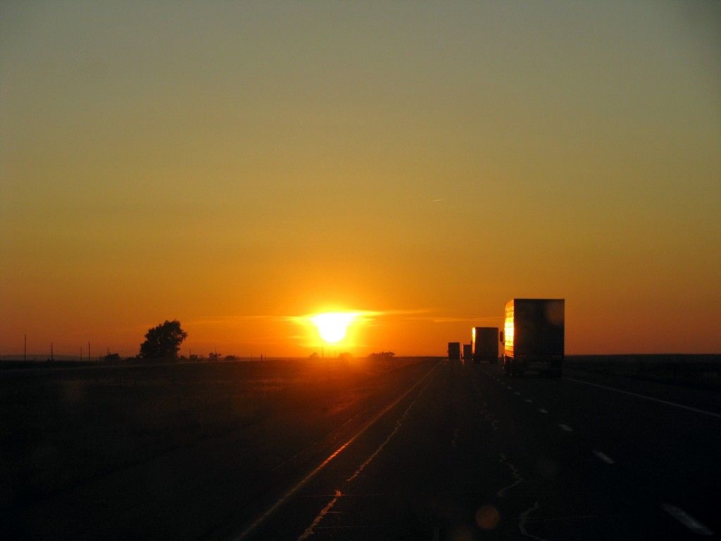
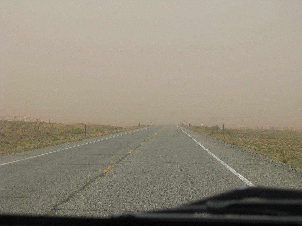
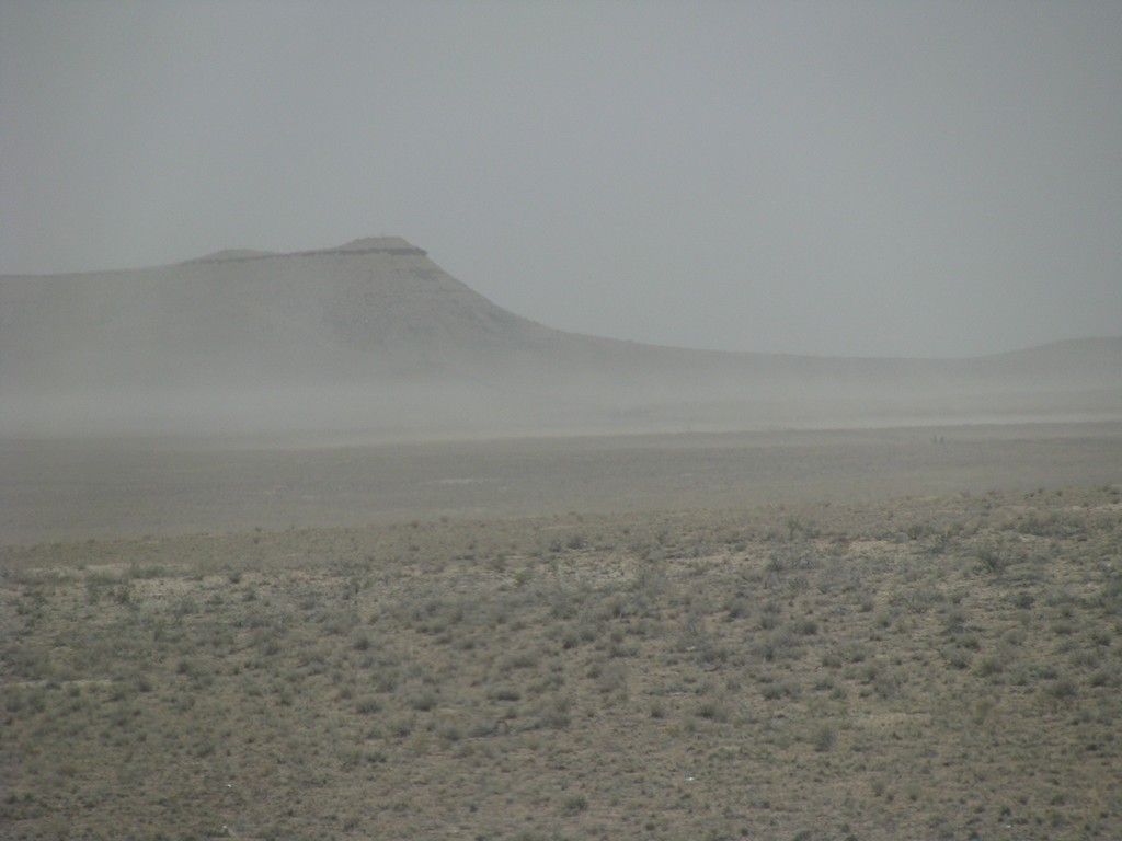
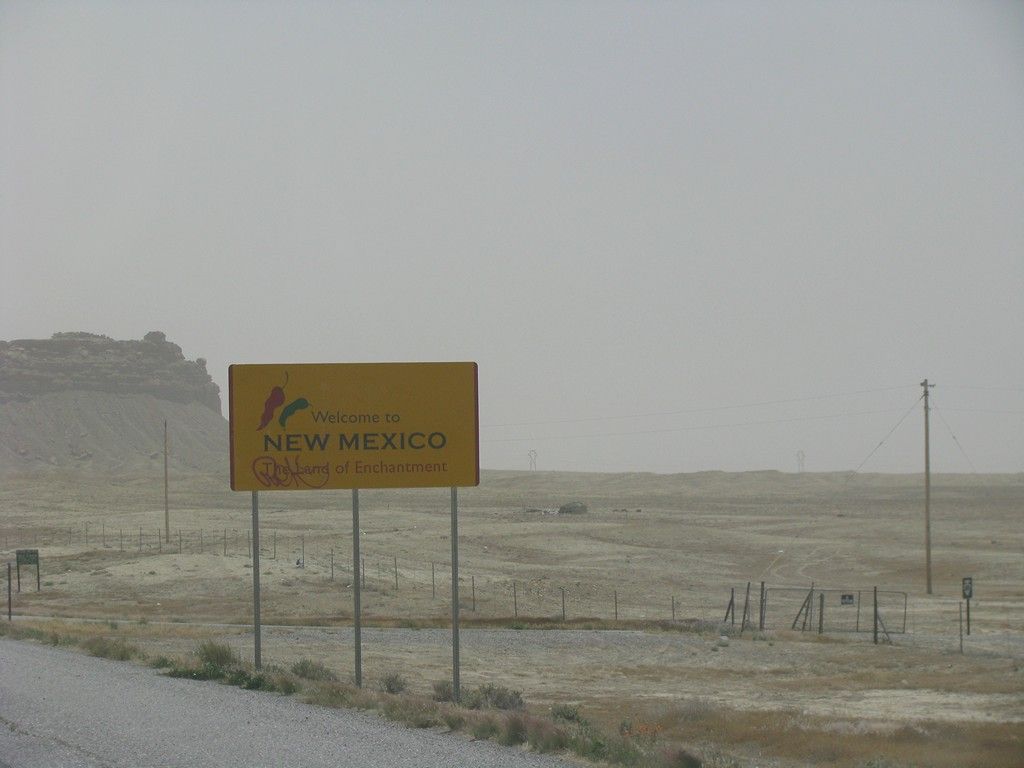
We attended our first Overland Expo this year with plans to spend the week following wandering around Utah. After seeing a few other posts here we roughly figured on doing the Maze in Canyon Lands for a good part of the time if we could score campsites. The adventure started on Wednesday morning heading West out of Texas until the sun set in New Mexico.

West20120011.jpg


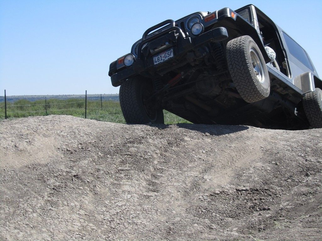
OVX was a great experience. We spent our share of time in the various classes and took full advantage of the driving course.

West20120151.jpg


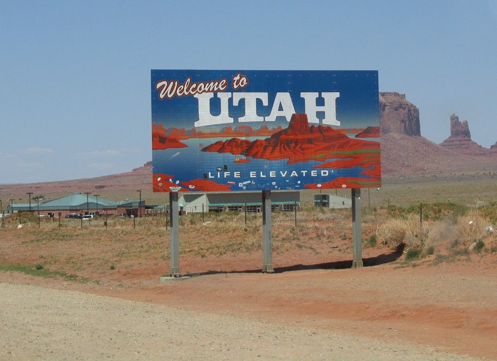
After 3 full days at OVX 2012, we took our time to break camp, take a nice hot shower, stock up on ice, and head off for a week of exploration In Utah.

West20120237.jpg


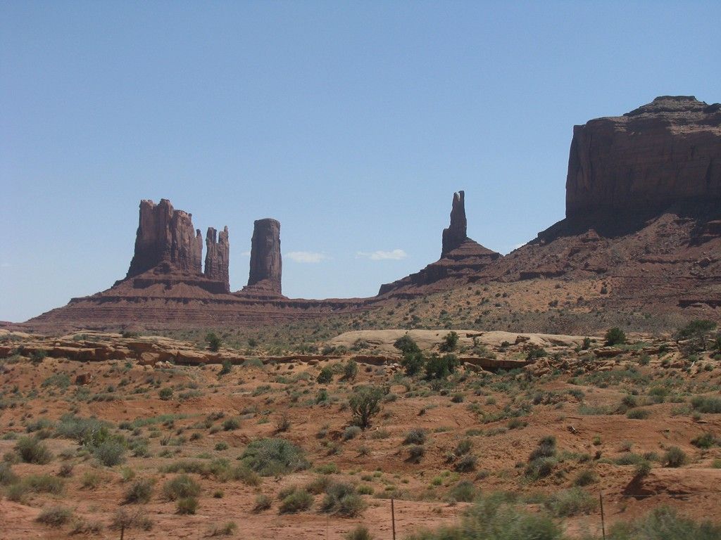
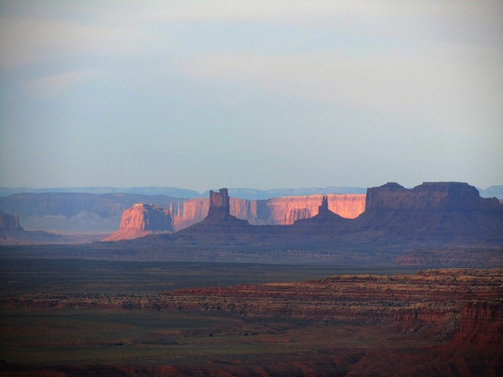
We crossed Monument Valley

West20120246.jpg


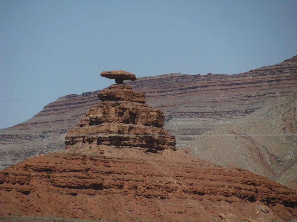
Arriving in Mexican Hat

West20120254.jpg


Shortly after passing the Mexican Hat we came up on a group of 5 trucks from
OVX that were just starting off on a dirt track to the West.

West20120260.jpg


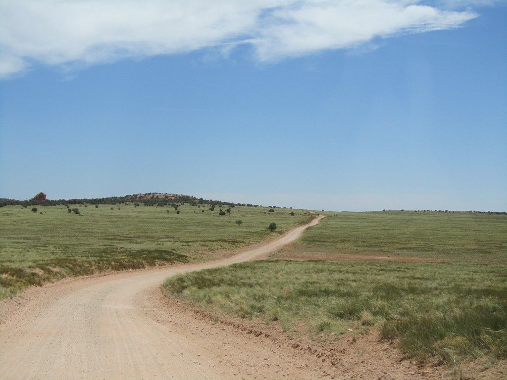
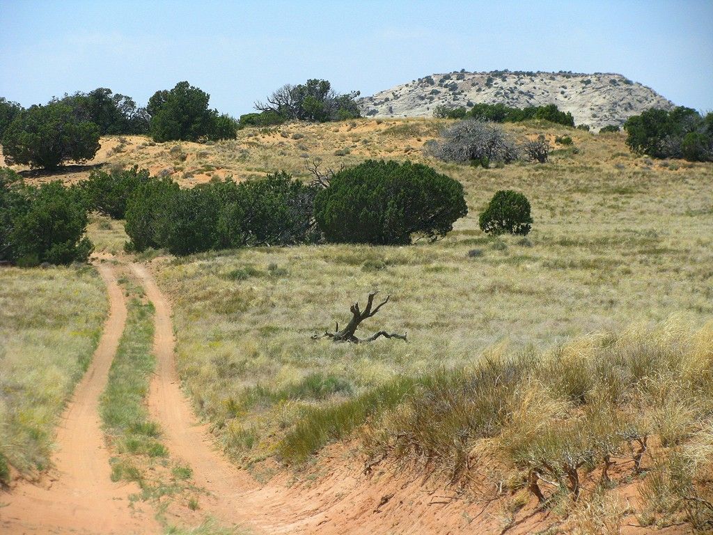
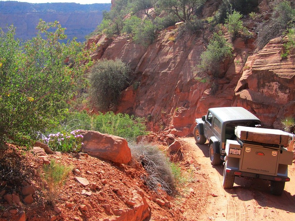
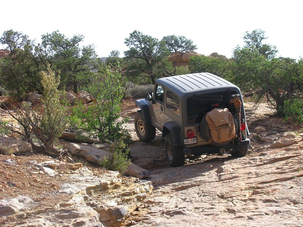
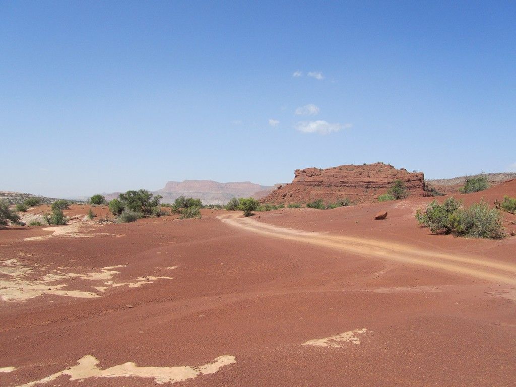
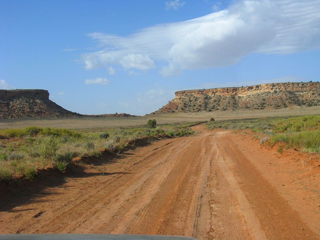
From there we took the dirt track into Valley of the Gods and scouted some camping spots for future trips. It was still early so we continued on.

West20120274.jpg


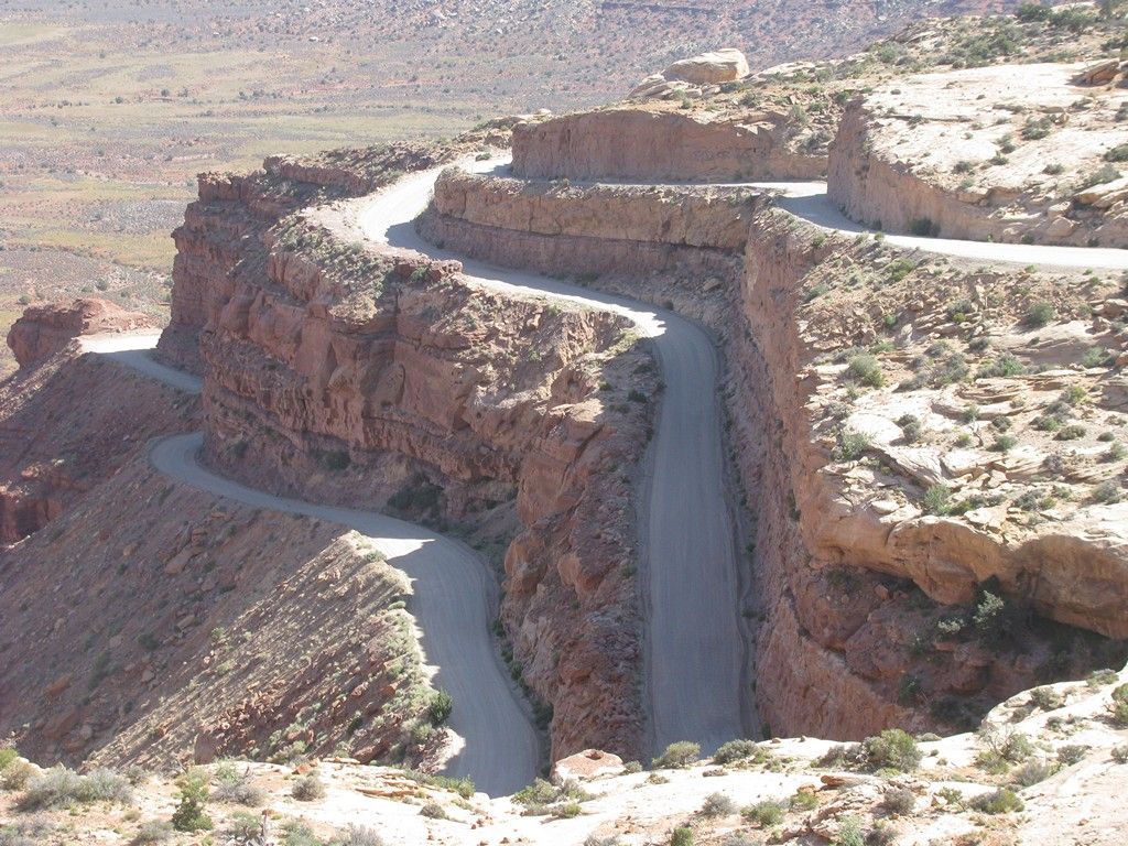
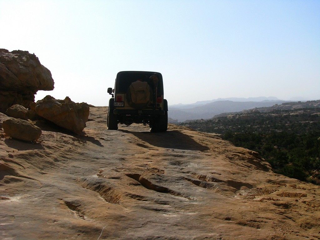
We climbed the Mogi Dugway

West20120297.jpg


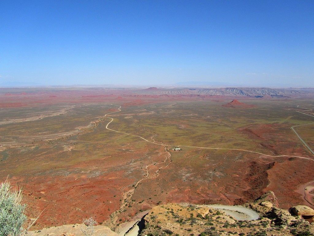
Looking back where we came from

West20120293.jpg


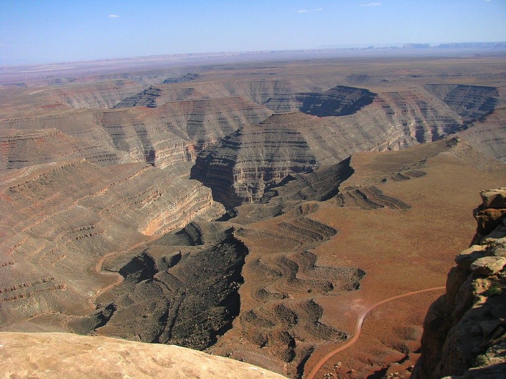
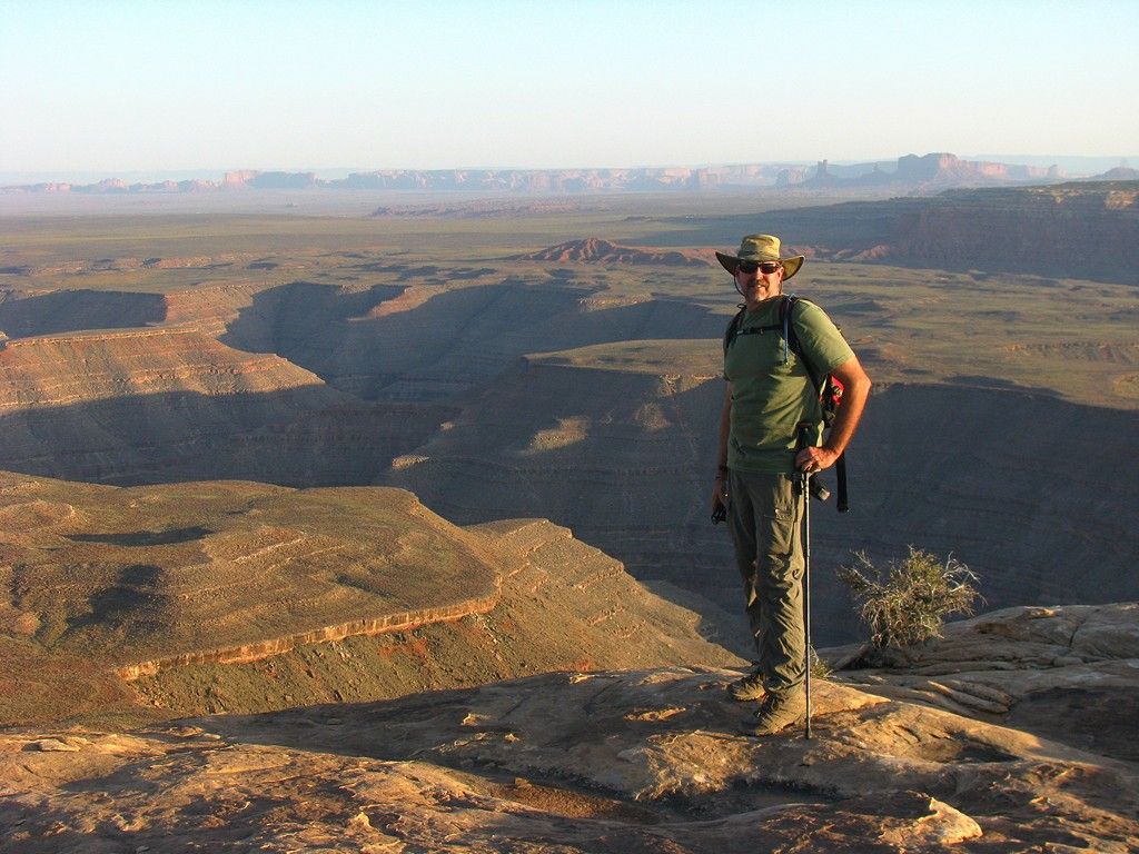
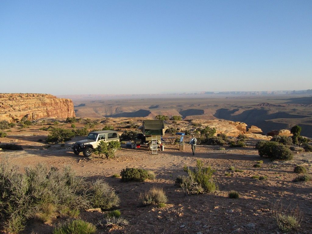
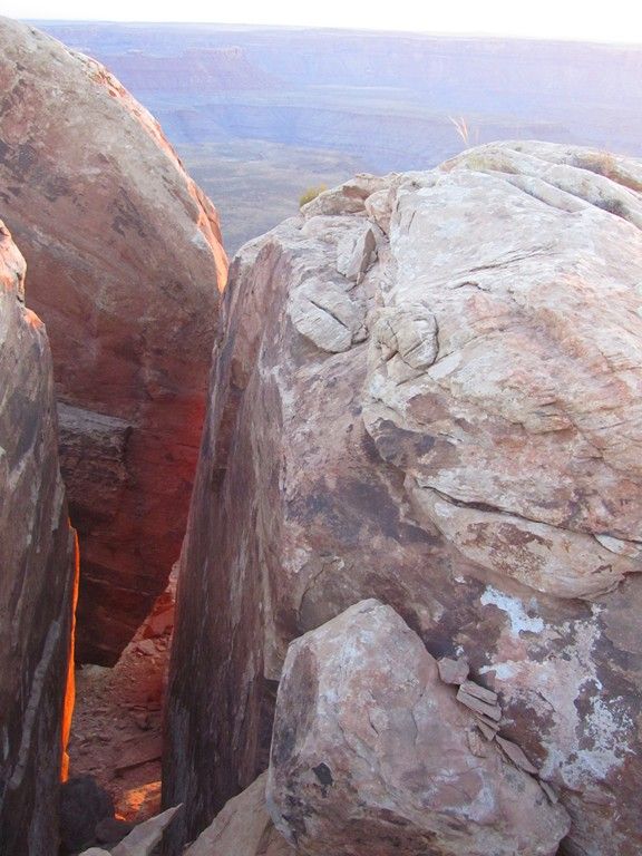
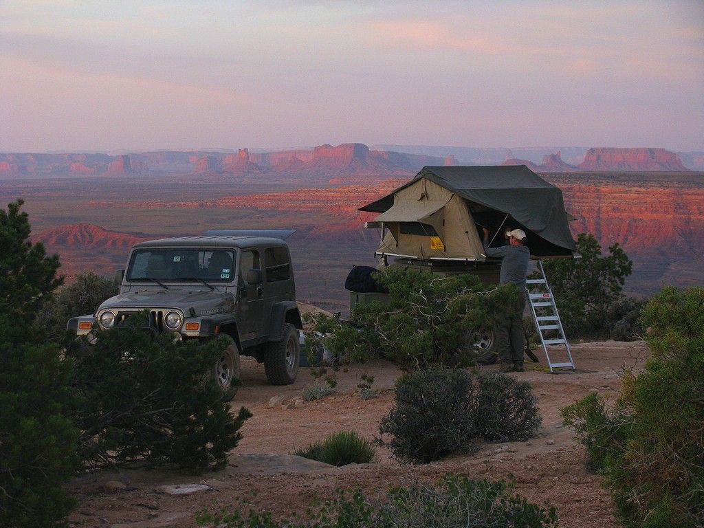
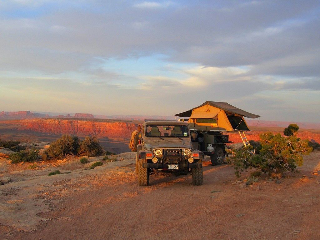
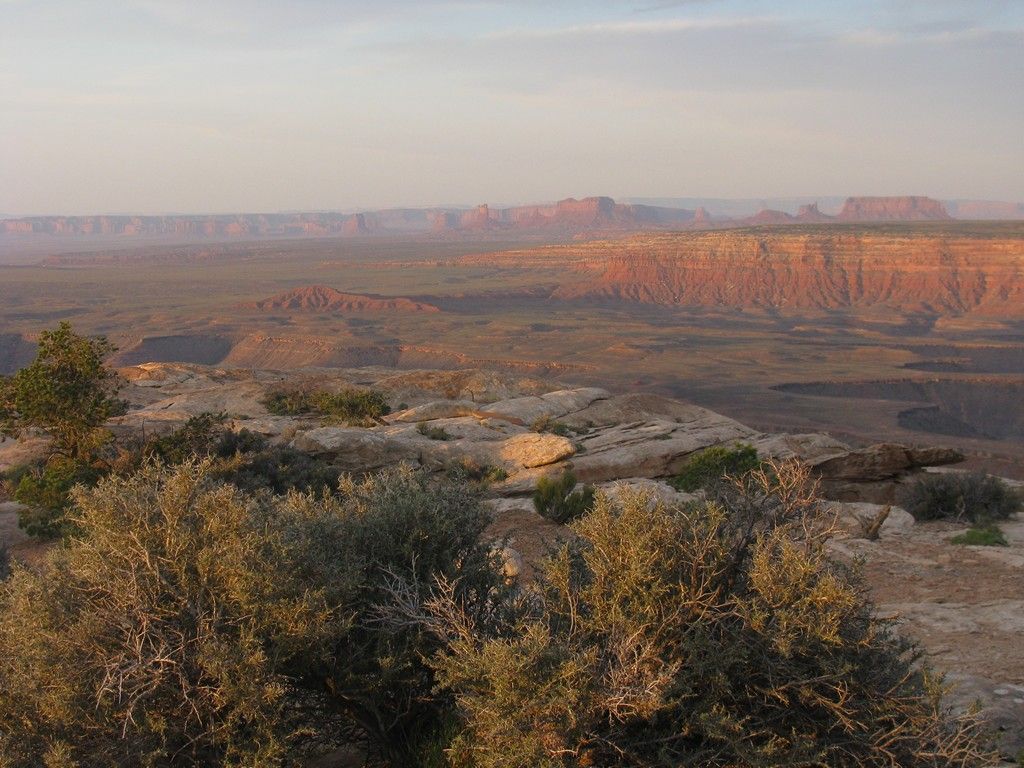
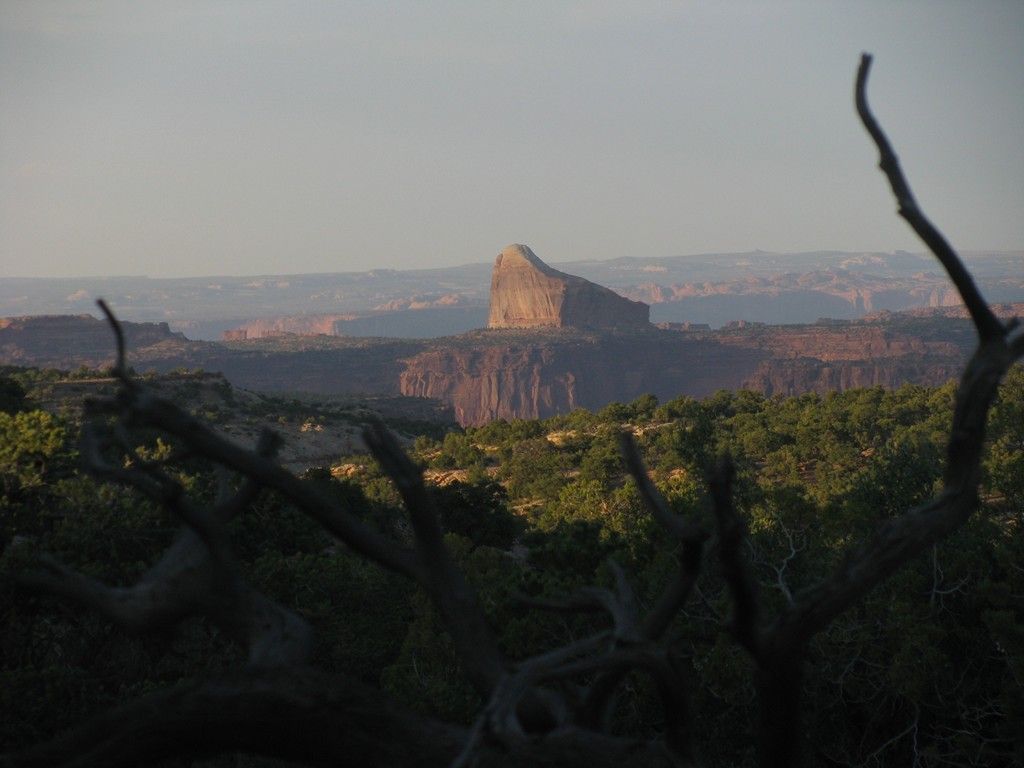
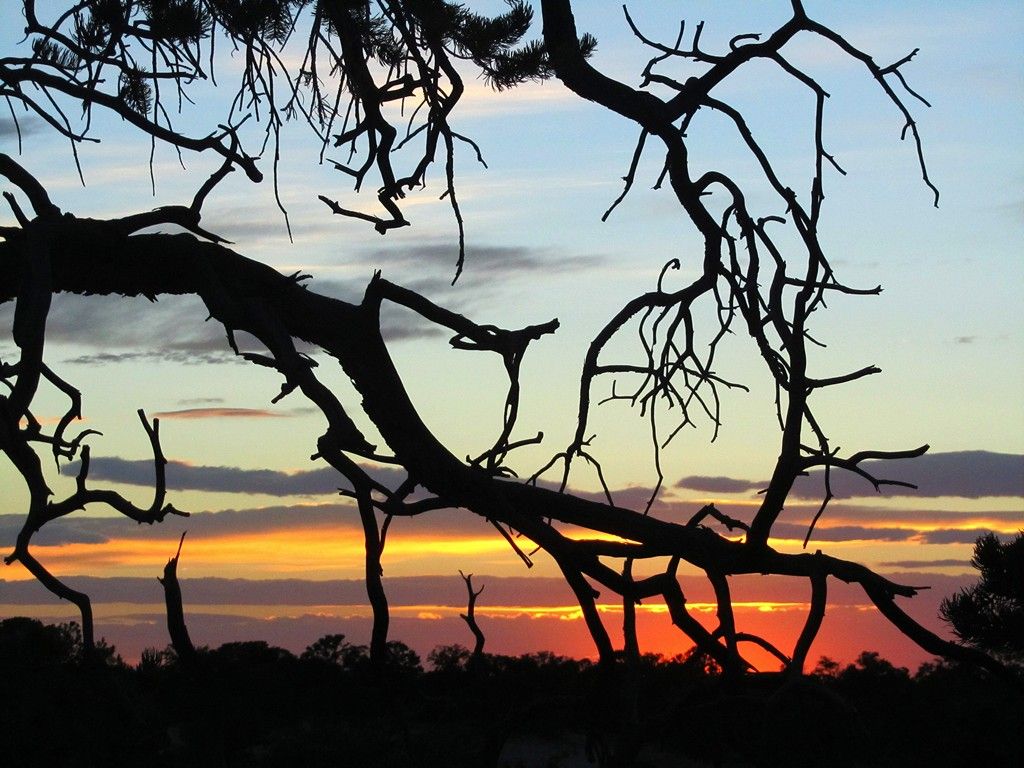
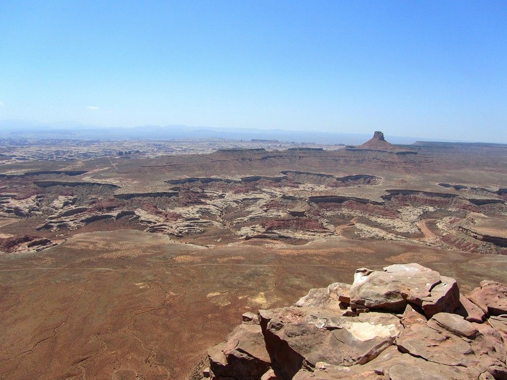
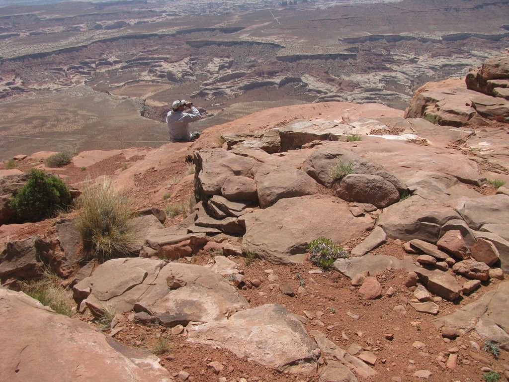
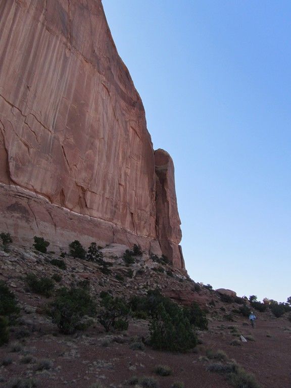
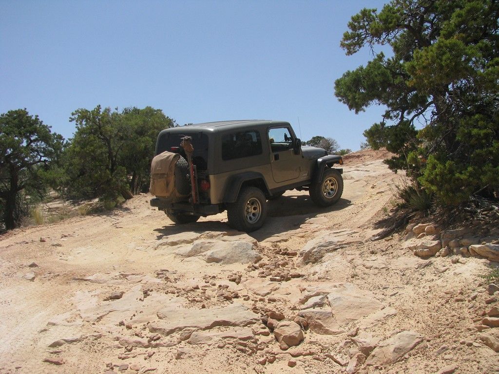
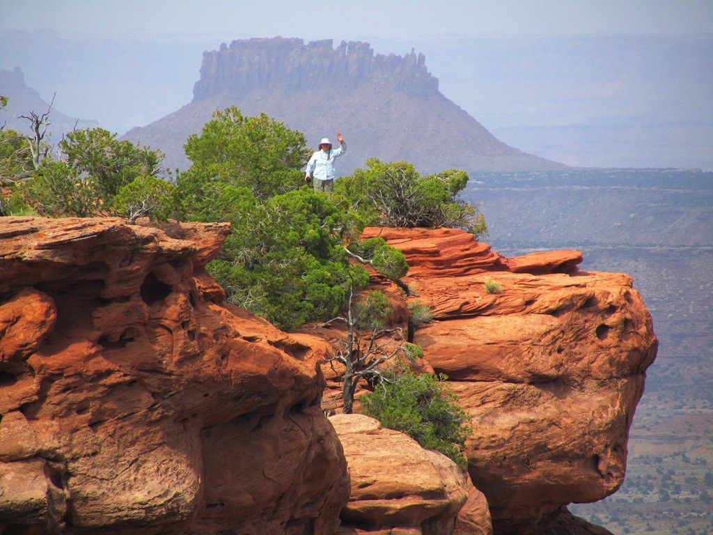
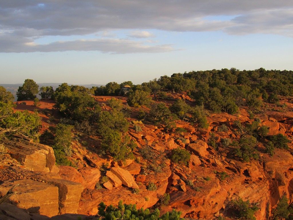
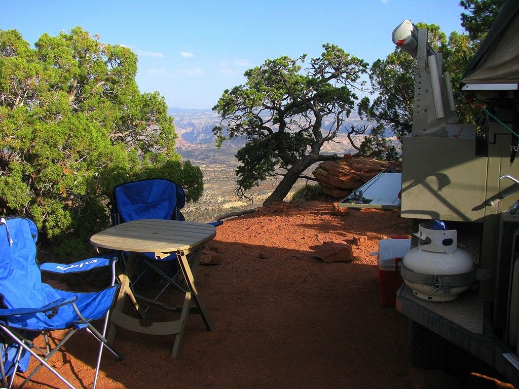
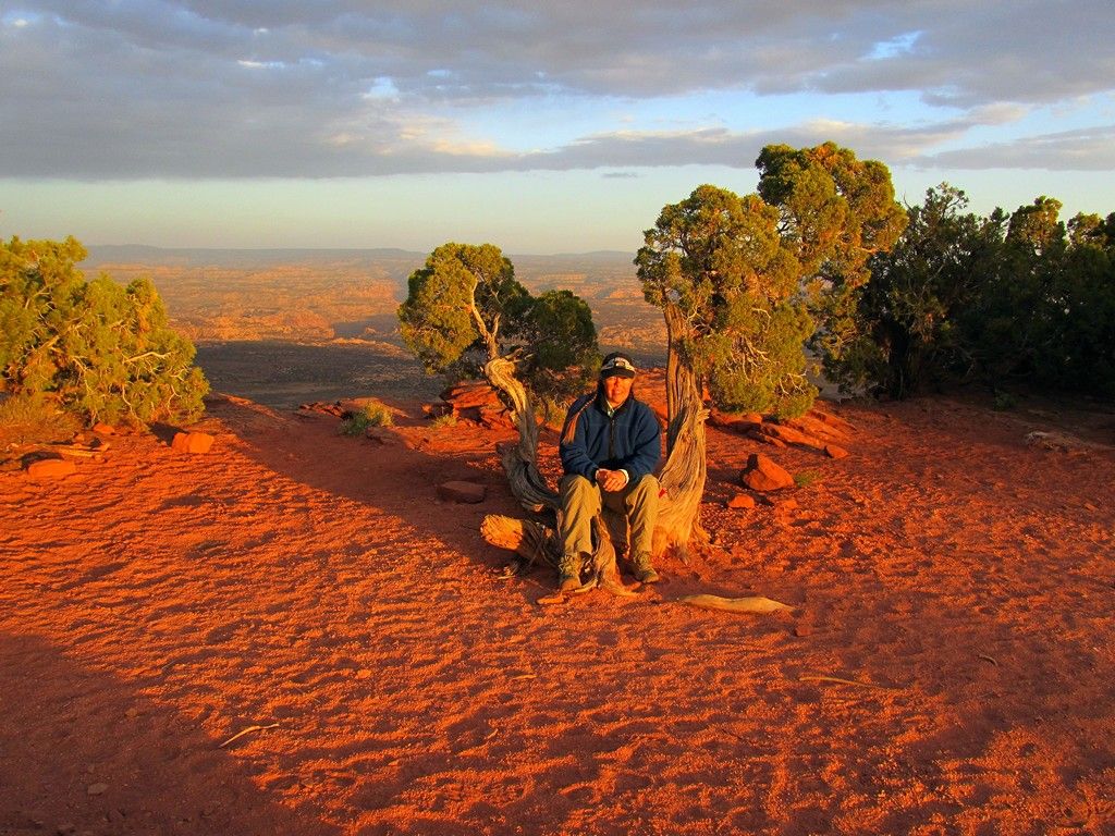
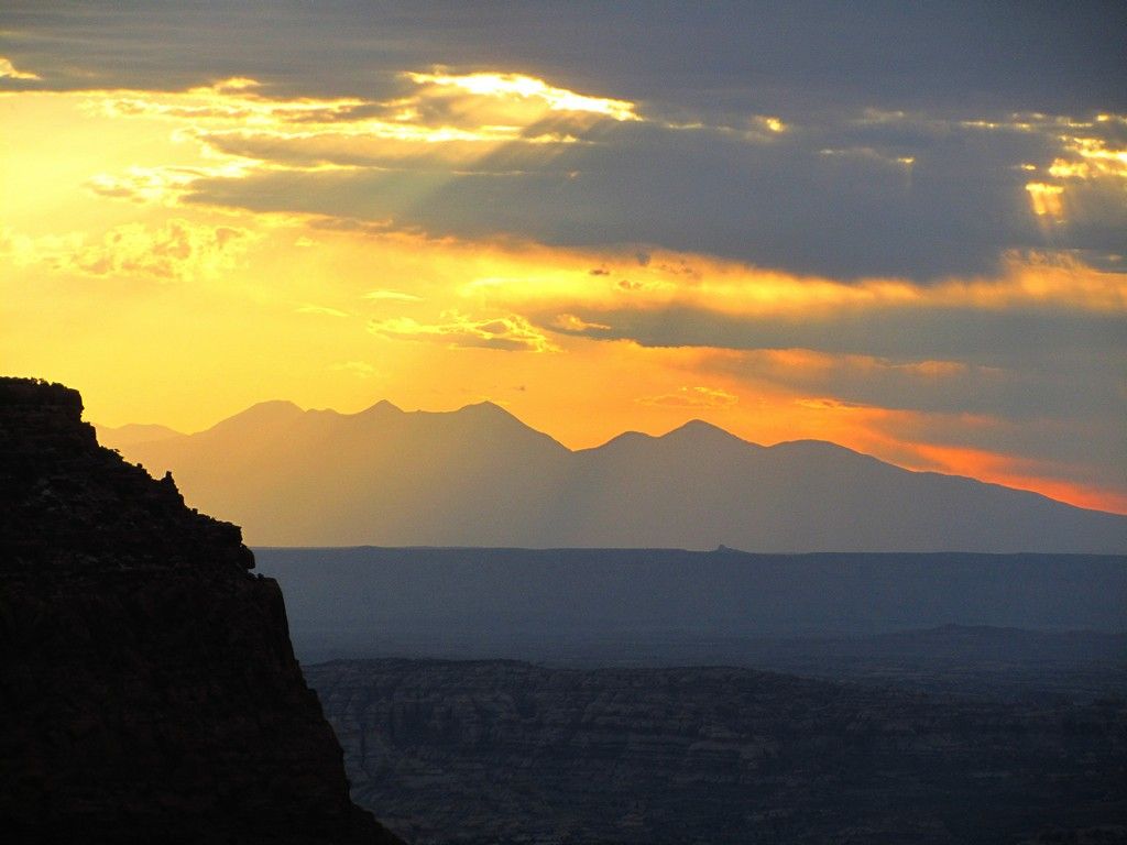
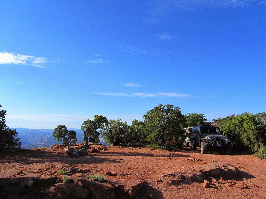
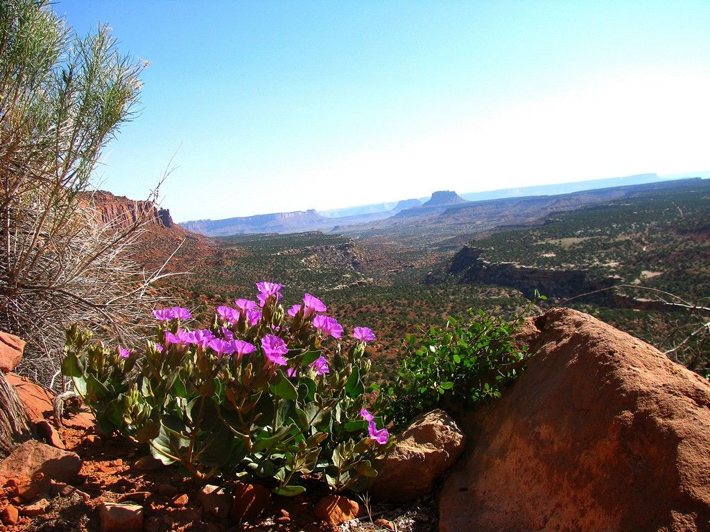
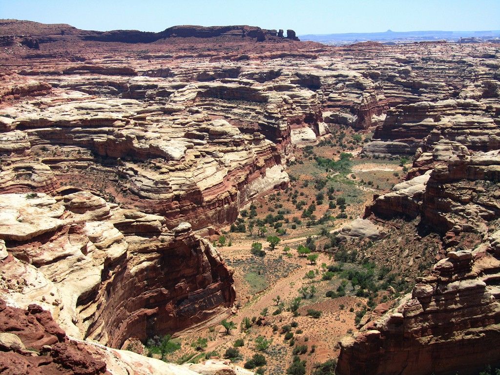
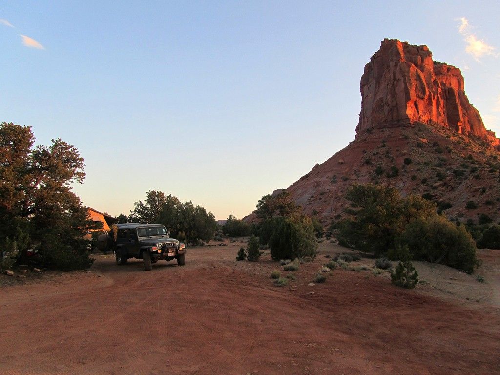
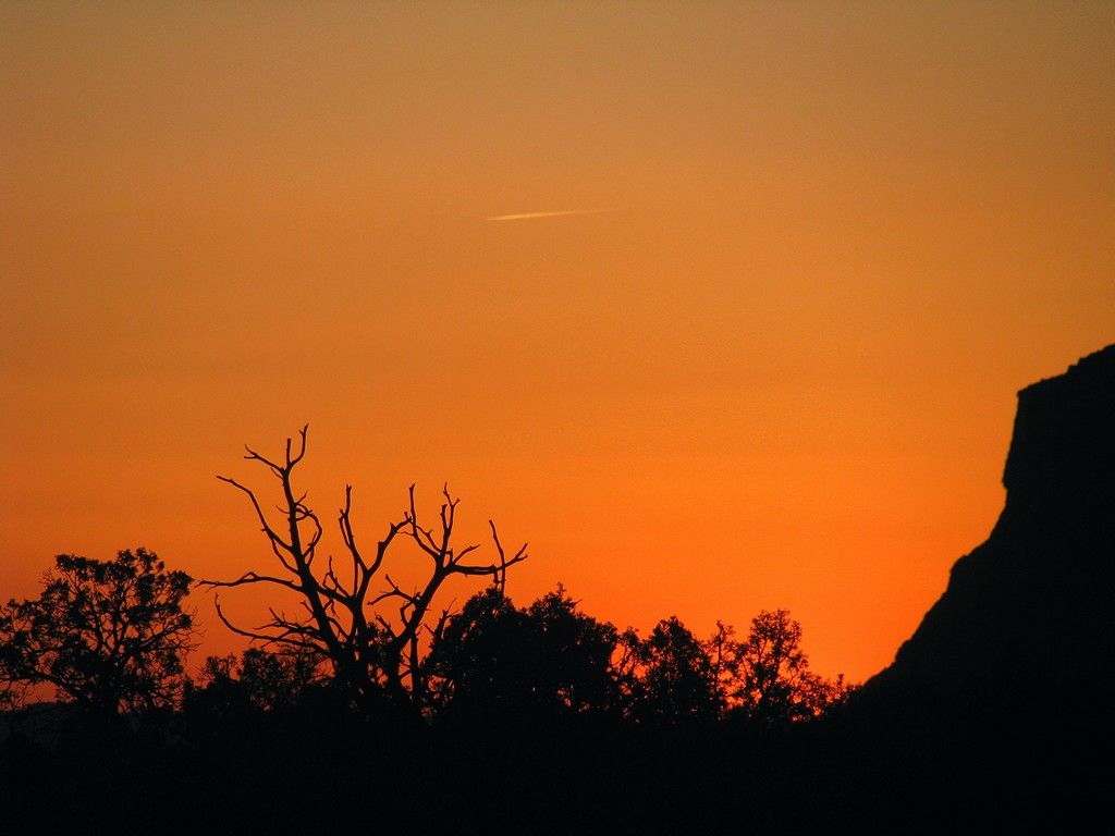
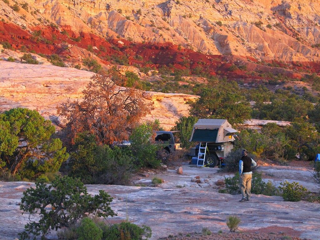
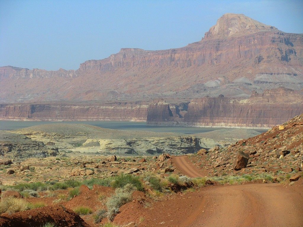
We turned onto the dirt track to head out to Muley Point and came upon another group of OVX'ers, it was the 4 XPCamper Trucks and a few others. They set up at the very end of the main road and we headed on out one of the other side tracks. We found a spot we liked, set up camp and explored the area taking pictures with the setting sun.

West20120302.jpg


West20120360.jpg


West20120335.jpg


West20120352.jpg


West20120359.jpg


West20120390.jpg


West20120394.jpg


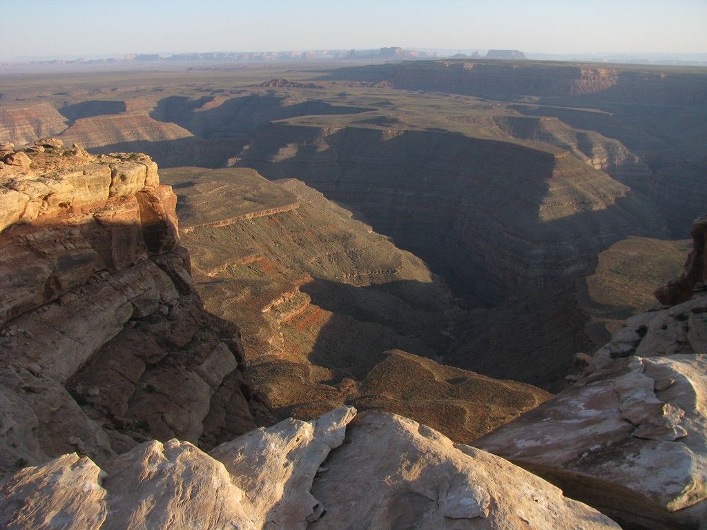
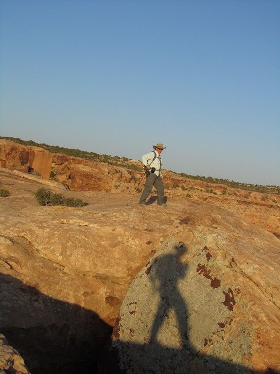
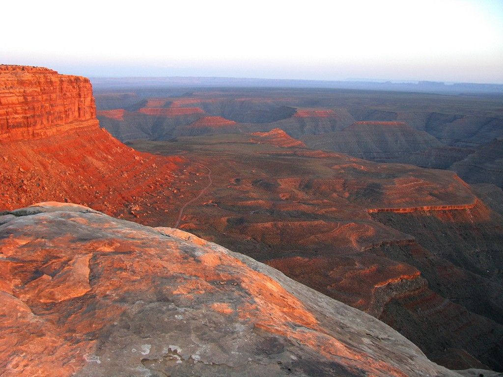
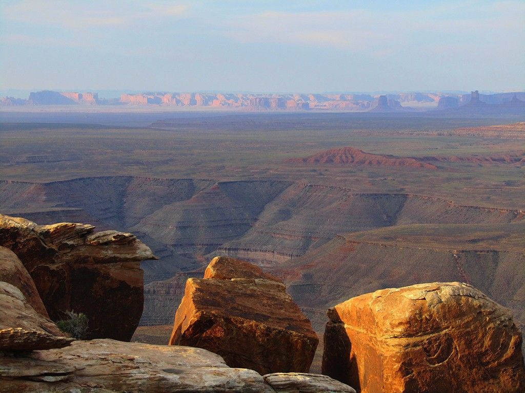
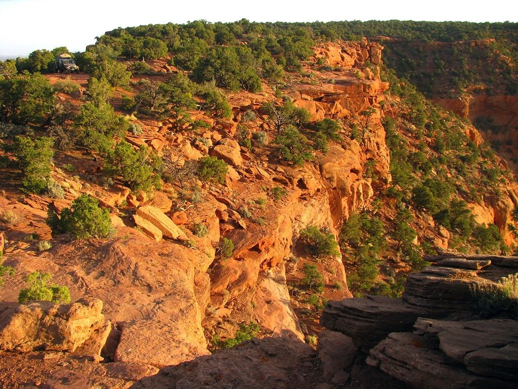
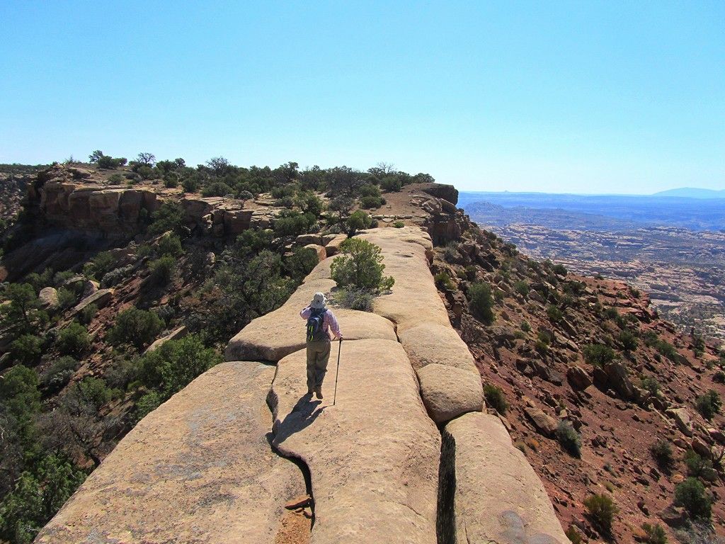
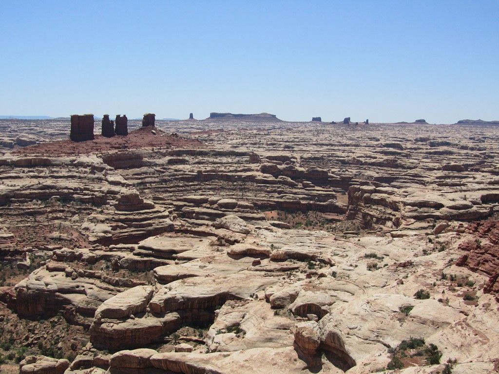
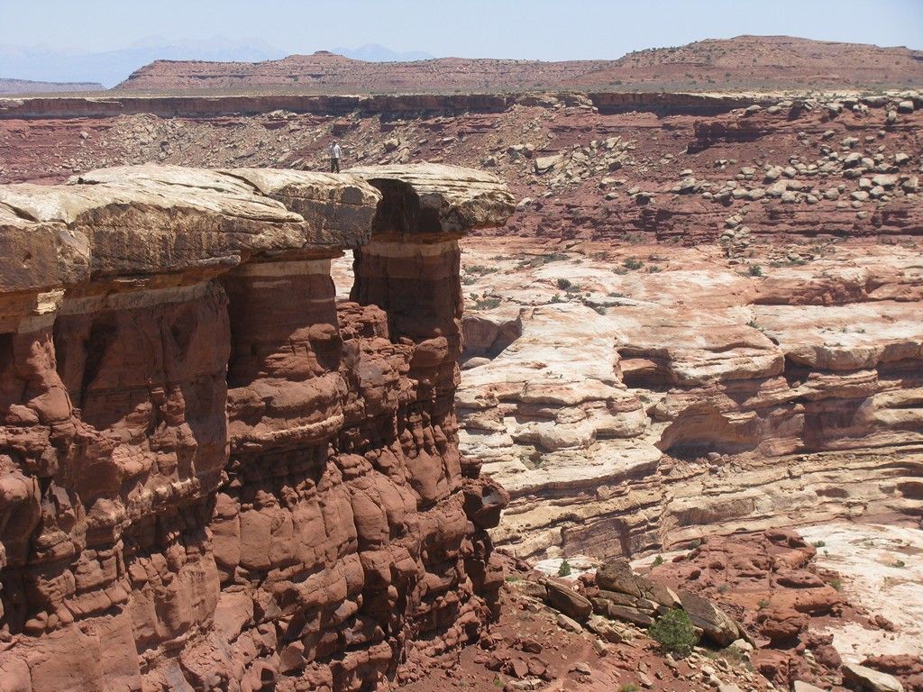
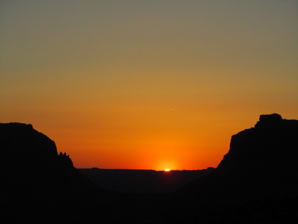
We were up with the sun, had a good breakfast and took a few more photos before continuing on our way.

West20120413.jpg


West20120420.jpg


West20120429.jpg


West20120435.jpg


West20120441.jpg


Continued Below
 

WeeJeep2

Adventurer
Tuesday, On to the Maze:

We arrived at Hite Landing with a general plan to acquire camp sites in the Maze over the phone. Plan A didn't work as planned. The Hite ranger station was closed, the store was closed, and the pay phone doesn't take coins, (We used to have calling cards many years ago). We did find a ranger that said we could get one bar on Verizon if we drove up the road 3 miles. Make that one bar for 1 minute at a time. Just enough time over the course of 4 calls to confirm there were campsites available and convince the ranger at Hans Flat that we were probably clueless about our upcoming trip into the Maze. We had actually called the prior week to confirm there was a good chance of getting sites and that we could call from Hite and do the permit process. At OVX we talked to Mario at Adventure Trailers and found out he was leading a group out to the Doll House so we knew we wouldn't be getting into the more popular camp sites.

We left Hite with a destination of Hans Flat Ranger station via Hanksville for final gas and ice. We entered into the grassy looking plains.

West20120484.jpg


Still on the correct road into Glen Canyon Rec. Area

West20120486.jpg


The encounter at the ranger station went much better in person than it did on the phone. The more "popular" sites were taken over the next few days but we were more than pleased with the trip we put together. Thanks to ranger Gary for the site recommendations to keep us out of the wind. We left the ranger station in the 3pm range in search of our campsite at North Point. Not to hard to find since it was a straight shot down the road a few miles and we were equipped with a highway map GPS, Topo Map GPS, Trails Illustrated Map of the Park, Park Service Maps, and David Day's Guide Book to Drives and Hikes in Canyonlands.

We were welcomed with scrubby trees to block the wind, great views and a local lizard or two.

West20120487.jpg


We relaxed and reviewed maps to make plans for the next days exploration. A short hike put us over to French Cabin to look around the ruins. The Cabin is still standing but didn't look like it will be for long.

West20120493.jpg


West20120511.jpg


Out to the east was a view of Cleopatra's Chair, on our destination list for the next day.

West20120504.jpg


We strolled around to catch the sunset and called it a day.

West20120533.jpg
 

WeeJeep2

Adventurer
Wednesday:

The next day was clear but with the wind still working. After breakfast we packed up and left the trailer at the camp site while we worked out to the end of the road. First stop was Panorama point. Great views looking down over the Maze below. We made the hike out to the very end of the point looking north towards the Island in the Sky. From up here the road below looks smooth and confirmed our plan for the next day to continue exploration out to the Maze Overlook.

West20120613.jpg


West20120618.jpg


From there we moved on to Cleopatra's Chair and did a hike out to the end of the point.

West20120585.jpg


We headed back to the campsite for lunch and to pick up the trailer. A few photos from along the route along the highest section of the park. Drive times on the park service map were spot on with our progress.

West20120651.jpg


West20120648.jpg


West20120652.jpg


On with the day. It's not too far to our next camp site at "The Neck". We stopped at the Flint Trail overlook to see what our drive the next morning would be.

West20120671.jpg


West20120668.jpg


West20120845.jpg


We also stopped at the other campsites along the drive to scout for future trips. Happy Canyon and Flint Seep were ok but we were more than pleased with out spot on the neck.

West20120762.jpg


West20120775.jpg


The "Neck" is a narrow section that has room for the road on one side and the camp area on the other. We tucked into the small trees to get out of the ever present wind and had a sheltered area with a view for dinner.

West20120722.jpg


Our traveling herd of animals came out to bask in the setting sun.

West20120792.jpg


As did the animal control officer, chief navigator, and co-driver.

West20120780.jpg


We watched the sun set over the Henry Mountains to the West and called it a day.

West20120816.jpg
 

WeeJeep2

Adventurer
Thursday

After a few morning clouds burned off we had a clear sky and only moderate winds to start the day. A last photo with camp all packed up.

West20120828.jpg


The start of our decent of the Flint Trail.

West20120838.jpg


There are several switchbacks. Number 1 is just an easy bend.

West20120858.jpg


West20120862.jpg


Number 2 required a few positioning turns to get the trailer around. In the picture it doesn't look that hard. In real life the trailer seems like it gets longer and the rock walls and drop offs get closer.

West20120871.jpg


Number 3 was a relatively easy K-turn with the trailer and we were off and running. GPS showed we descended 1000 ft. from our camp at the Neck.

West20120885.jpg


West20120892.jpg


Next stop was the Golden Stairs campsite and a hike out across China Neck and the view point beyond to overlook the Maze below.

West20120905.jpg


After our hike we headed back out to the main road with a destination of Maze Overlook. We parked the trailer off the road a short distance up from the campsite so we could run a little faster. The jeep carries all the recovery gear, food, and clothes. The trailer has all the creature comforts for camping, plus 20 gallons of extra fuel, 20 gallons of water, etc.

We made it to the end and both campsites were occupied with vehicles and tents but the inhabitants must have been out hiking. We took in the views, had lunch on an overlook and started the journey back.

West20120960.jpg


West20120948.jpg


West20120965.jpg


With the trailer hooked up we traversed the mid level flats back to the Flint Trail and dropped down another 1000 ft or so to the Waterhole Flat west of Teapot Rock before we climbed back up to our campsite for the night at Sunset Pass.

West20120994.jpg


West20121031.jpg


The campsite was large and mostly open. We found some trees to get a little shelter from the wind and explored the area on foot.

West20121029.jpg


We found a decent outcropping of petrified wood.

West20121002.jpg


It included large sections of what were once trees.

West20121008.jpg


We wrapped up the day with a sunset worthy of the campsites name.

West20121039.jpg


West20121050.jpg
 

WeeJeep2

Adventurer
Friday

After looking out over the Maze formations the previous day and since we were this close we decided to drive out to the Doll House. We dropped the trailer just short of the Teapot Rock campsite and talked to the group that was camped there. They were moving on to the Doll House for the night. To our somewhat surprise there was cell service so we called the Ranger station to inquire about getting Teapot for the night. It was open so we had a place to come back to. The ranger mentioned the forecast called for winds of 30 mph with gusts to 60 for the next few days.

The road out had a few rough and tight spots. We were happy not to have the trailer in tow for just a day trip out and back at 3 hours each way but it would have been fine if we had secured a campsite at the end of the road.

West20121063.jpg


West20121067.jpg


West20121071.jpg


The grassy plains from the higher elevations were replaced with desert pavement and sand.

West20121087.jpg


After seeing the various rock formations we were inspired to rearrange some of the contents of the jeep to match.

West20121081.jpg


West20121216.jpg


West20121199.jpg


We continued on to the Doll House and checked out the 3 camp sites and the rock formations in the area.

West20121120.jpg


This one reminded us of the Pillsbury Doughboy.

West20121188.jpg


The wind was cranking and there was plenty of blowing sand. Kind of glad we weren't camping out here this day, but it is on the list for a future trip so we can do some more extended hiking. We took refuge in a small cave at Doll House 1 to eat lunch out of the wind and sand.

West20121138.jpg


We spent a few hours exploring the area and hit the road back. Saw the Maze formations from the south side,

West20121090.jpg


and saw more blooming cactus that seemed to be just about everywhere.

West20121223.jpg


We made it back to Teapot Rock campsite, picked up the trailer and set about trying to find some shelter from the wind. The largest tree in the area had recently died but offered the best hope of blocking the wind. We took the tarp off the tent to avoid the flapping. We had time to explore the canyons around the site and were glad we didn't have to drive any further for the day.

West20121294.jpg


Saturday


It was time to start the journey back home. We took the southern route out across Waterhole Flat.

West20121308.jpg


About 3 hours later we got our first glimpse of Lake Powell,

West20121314.jpg


and then Hite Marina which was actually open for business on Memorial Day Weekend.

West20121318.jpg


From there it was all pavement as we headed back towards Texas in the blowing sand and dust.

West20121323.jpg


West20121329.jpg


We made it to Colorful Colorado, but it wasn't colorful that day.

West20121330.jpg


We pressed on in the blowing sand,

West20121331.jpg


Until we hit New Mexico which wasn't colorful either, but the sign was.

West20121332.jpg


We finally cleared the dust as we approached Albuquerque but it was replaced with smoke from the fires in the area. Closer to sunset we continued on to clear skies in Santa Rosa for the night in a room with a bed, shower, some else cooked dinner, and no wind.

We left the next morning and stopped by a car lot in town to check out a potential next Expo vehicle. The things you find on Old Rte. 66.

West20121334.jpg


From there it was only 725 miles back home, but a least the dust, smoke, and wind were back to normal levels.

Track maps of the loop from Hite Marina

MapOverall.jpg


And daily tracks from our time in the Orange Cliffs and the Maze. Red is arriving to Hans Flat. The green track is running North Point and then down to the Neck at around 7000' elev. The yellow track is down to Golden Stair and the Maze Overlook, closer to 6000' elev. The light blue track is out to the Doll House area and runs closer to 5500' - 5000'. From there the dark blue shows the way down hill back to Hite. It was nice starting at the top and being able to look out and scout below to see what areas we would cover the next day.

MapDetail.jpg


Thanks to all that have posted previous trip reports that inspire us to hit the roads and trails.

Bill & Pam
 

Willman

Active member
Great Report! I miss that area! I took my trailer back to the Doll house which was not too bad. There was only one really bad corner that took a few minutes of careful planning.

Thanks for sharing!

;)
 

Danimal

Adventurer
A sincere 'thank you' for this report. My wife isn't much intrigued by the thought of a longish adventure, but looked through and enjoyed this report with me after glancing over at the photos one evening. Baby steps!
 

Forum statistics

Threads
188,429
Messages
2,904,729
Members
230,359
Latest member
TNielson-18
Top