ttora4runner
Expedition Leader
This was kind of an unplanned adventure. My original plan for Saturday was to venture up though the Bighorn National Recreation Area to the ghost towns/sites of Lockhart, Ewing and Hillsboro but because of the government shut down the road leading in was closed. I had a feeling that it might be before the trip but I decided to take a chance anyways. The country road that skirts around the border of the park was washed out about ¾ of the way and is only suitable for foot traffic now.
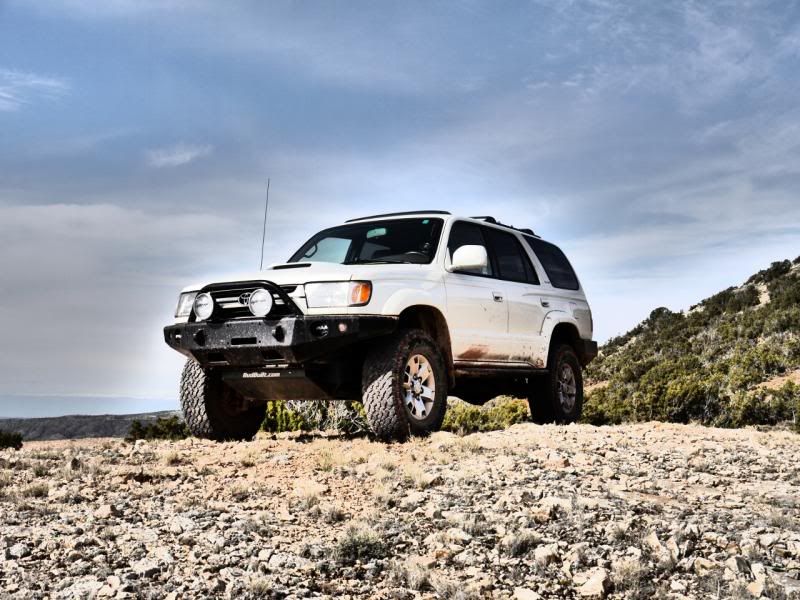
So with not really knowing what to do I went ahead and headed off in the Pyror Mountain Area to do a bit of exploring.
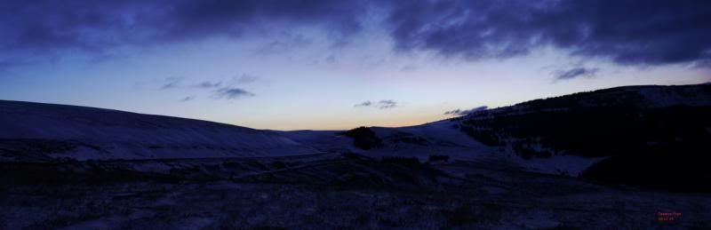
View from Hwy 14A before dropping down into Lovell Wyoming.
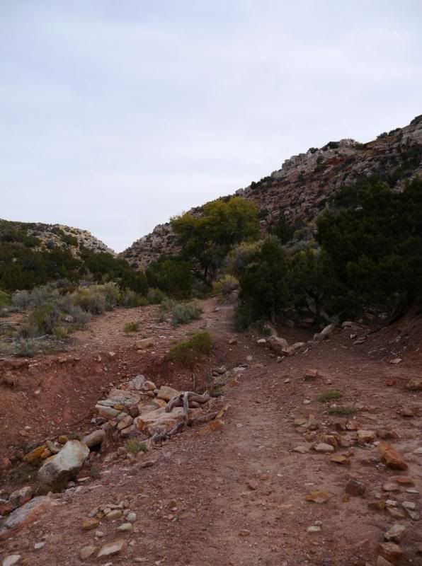
Washout on County Road 16.

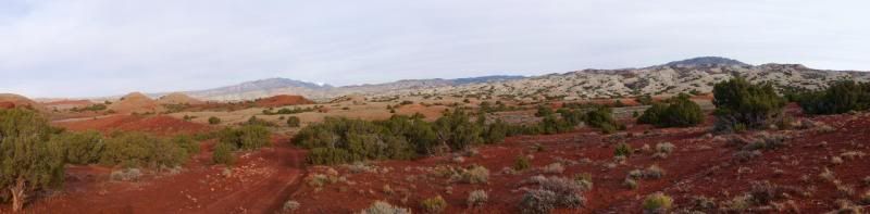
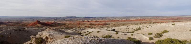
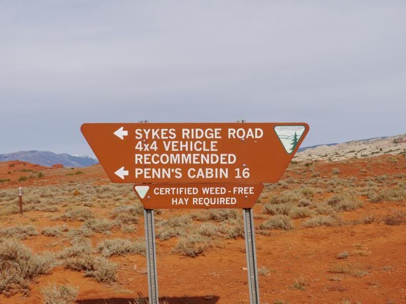
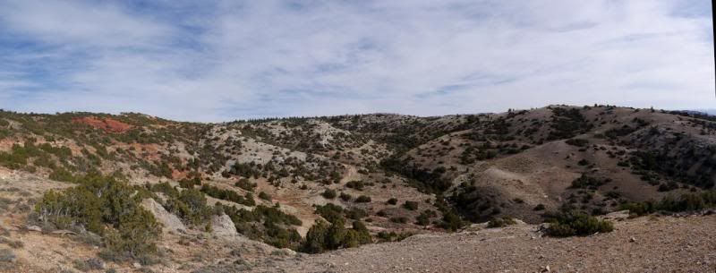
The view from Sykes Ridge Road.
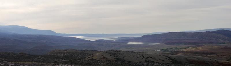
View of Bighorn Lake.
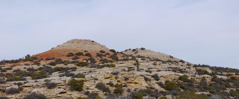
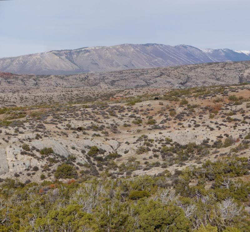
Wild horses spotted along the way.
Sykes Ridge - the road at the bottom is the route I took which is a part of a loop that connects back to the main trail.
More wild horses.
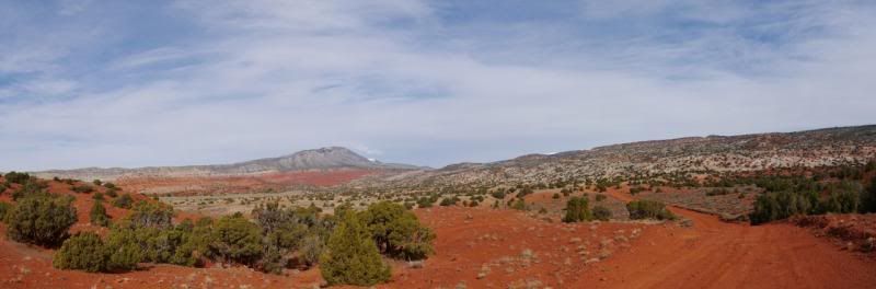
View from 'Burnt Timber Ridge'.

Wilderness Study Area. You can see where the old road was before the area was closed off.
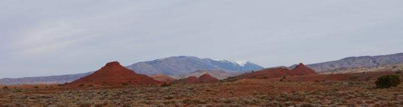
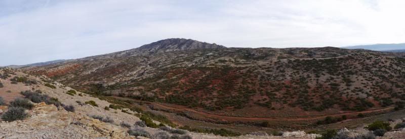
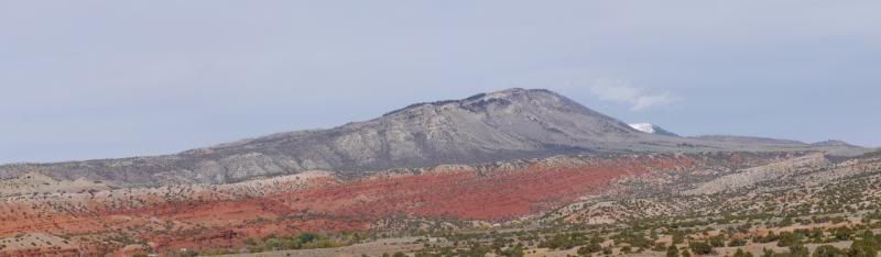
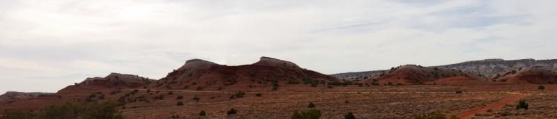
View of 'Big Pryor' Mountain.

View along the road before heading on back.
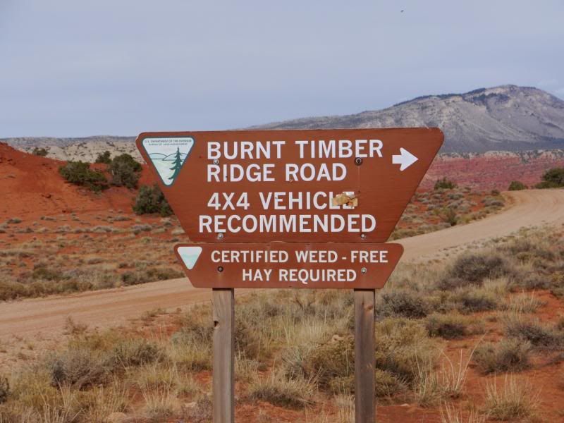
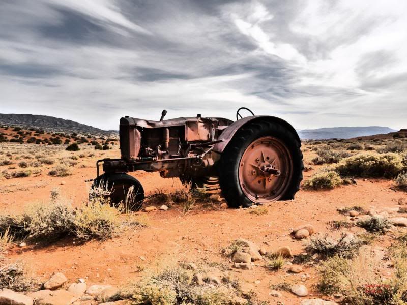
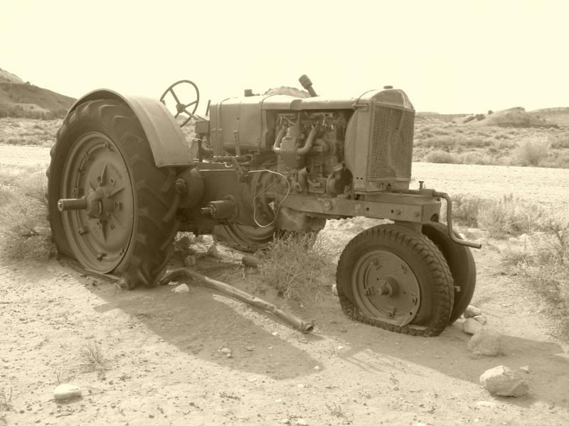
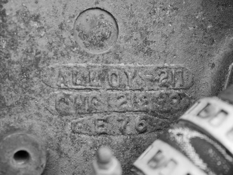
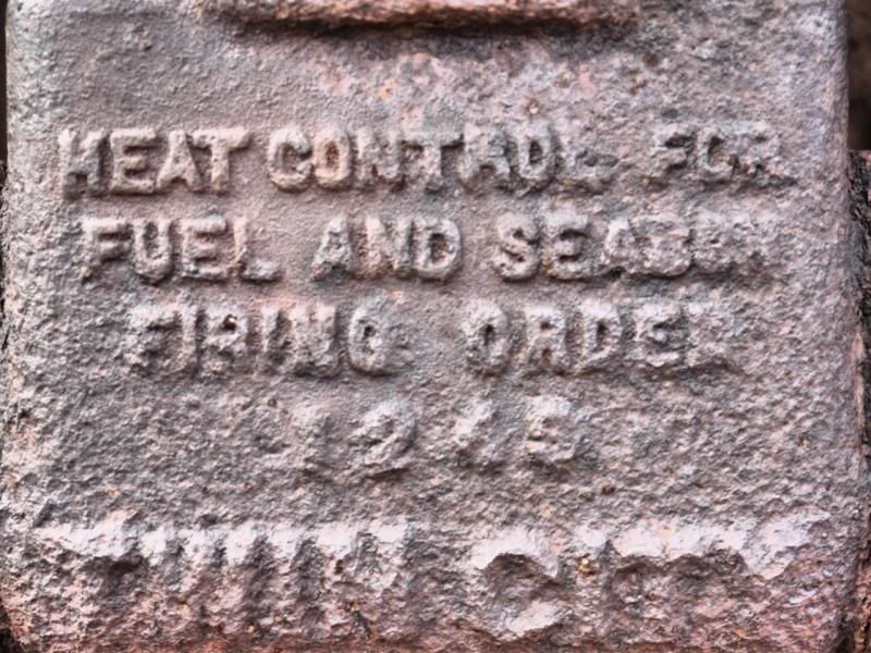
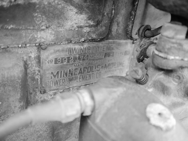
Old tractor at the turnoff to 'Burnt Timber'.
When I got home I looked up the area I was travelling in because I didn’t have a map of the area and lol and behold the two roads I took loop together. I’ll have to try and head back to make the loop before leaving Wyoming in a couple months.
So with not really knowing what to do I went ahead and headed off in the Pyror Mountain Area to do a bit of exploring.
View from Hwy 14A before dropping down into Lovell Wyoming.

Washout on County Road 16.


The view from Sykes Ridge Road.


View of Bighorn Lake.

Wild horses spotted along the way.

Sykes Ridge - the road at the bottom is the route I took which is a part of a loop that connects back to the main trail.

More wild horses.


View from 'Burnt Timber Ridge'.


Wilderness Study Area. You can see where the old road was before the area was closed off.

View of 'Big Pryor' Mountain.


View along the road before heading on back.

Old tractor at the turnoff to 'Burnt Timber'.


When I got home I looked up the area I was travelling in because I didn’t have a map of the area and lol and behold the two roads I took loop together. I’ll have to try and head back to make the loop before leaving Wyoming in a couple months.


