We continued down the road to Taos and the Rio Grande Gorge and RG Canyon, following the river...
.
Eagles nest.
.
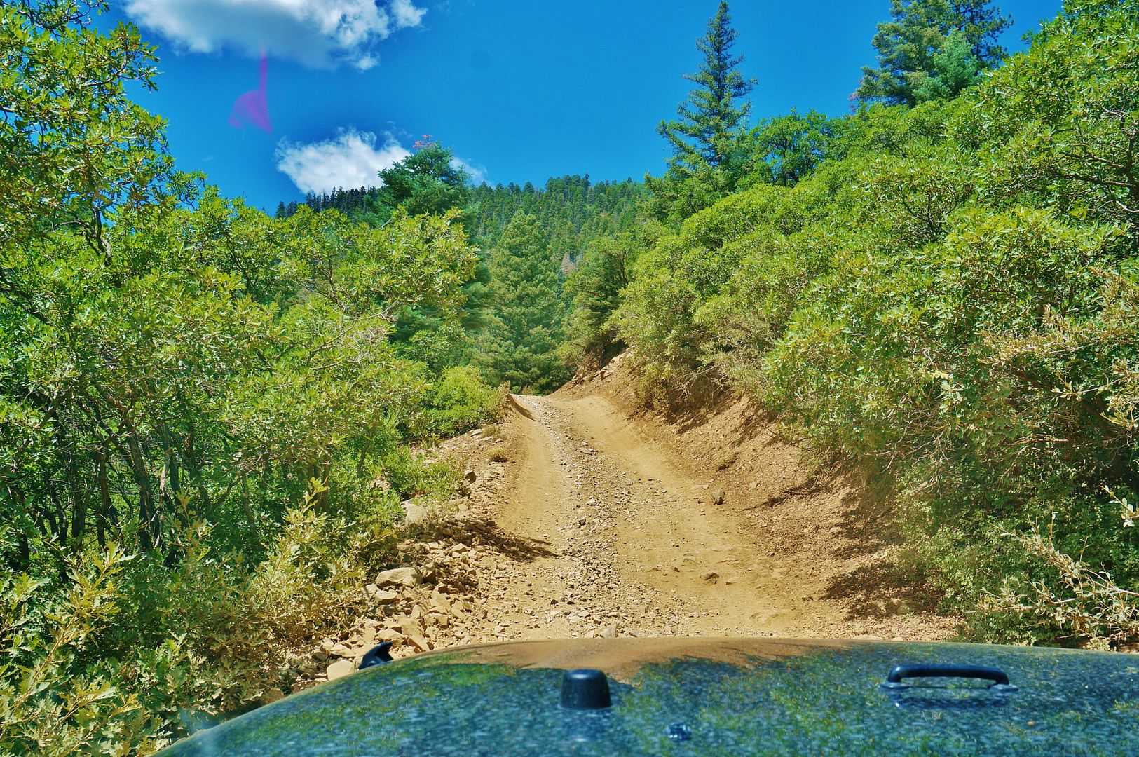
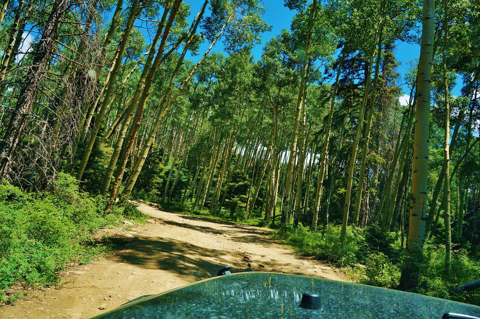
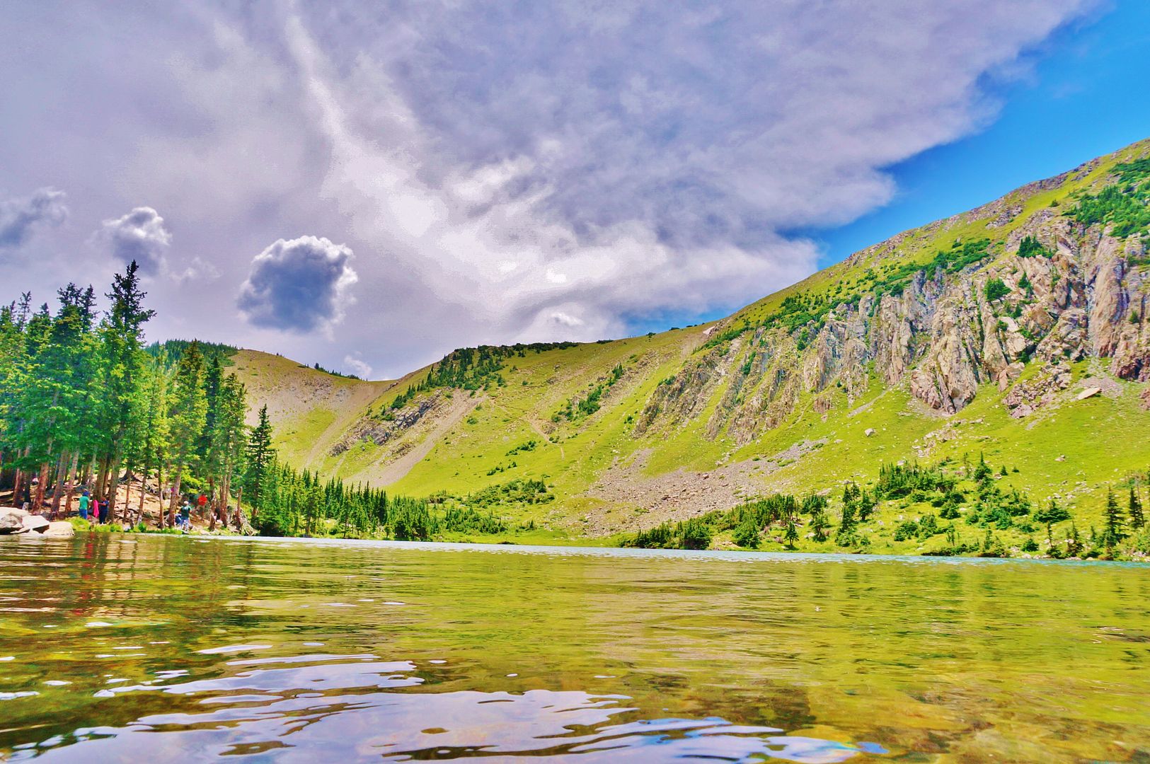
Taos Canyon
.
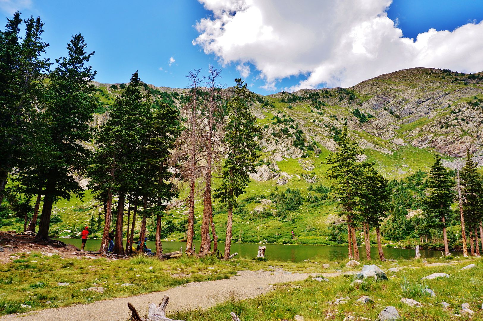
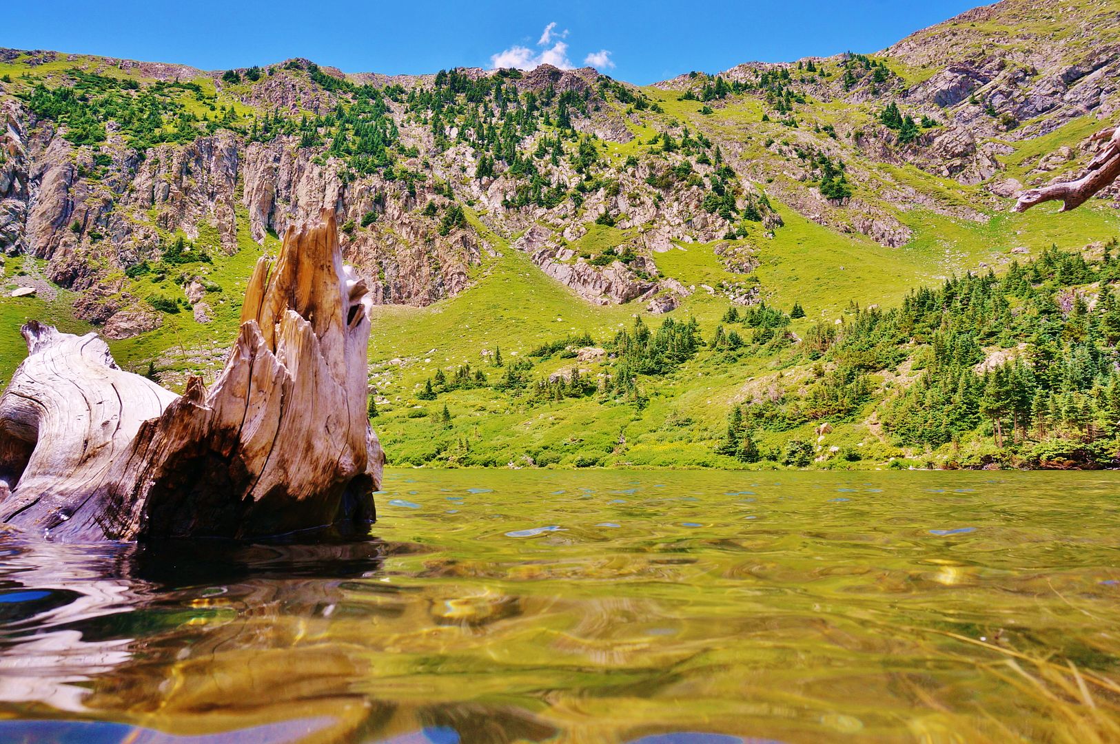
The Gorge
.
Rio Grande Canyon
.
.
.
.
.
.
.
.
.
Near Las Cruces, NM.
.
The river at El Paso, TX; near Santa Teresa, NM and the Mexican Border. The mountains on the background are in Mexico, the Juarez Sierra.
.
.
This is as far as we could go on this side of the border, that's the American dam which diverts the river water for irrigation down El Paso's lower valley. The border is just at the foot of the hill behind the dam.
.
The Mexican dam. It diverts the river water also for irrigation purposes to the Juarez Valley.
.
After that, this is what's left of the river, and only some sewer and rain water, when it rains; prevents it from going bone dry.
This is how the river looks just after the dam has been closed.
.
We continued later on our way down the border
.
.
This is the border area of Presidio, TX and Ojinaga, Mexico. Here's where the Rio Conchos meets the Rio Grande and the river flows once again.
.
We camped by the river at BBSR .
.
The river's view from camp. .
.
Nice campground views.
.
.
This site uses cookies to help personalise content, tailor your experience and to keep you logged in if you register.
By continuing to use this site, you are consenting to our use of cookies.