You are using an out of date browser. It may not display this or other websites correctly.
You should upgrade or use an alternative browser.
You should upgrade or use an alternative browser.
Share a Picture of Where You Are Today
- Thread starter AbleGuy
- Start date
Peter_n_Margaret
Adventurer
Peter_n_Margaret
Adventurer
Peter_n_Margaret
Adventurer
Peter_n_Margaret
Adventurer
80km today. Well 26 to Georgia Bore.
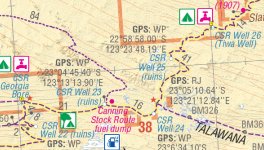
Slow, but enjoyed today. Varied country, different vegetation, wild flowers and some "sticky" dunes.
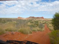
We started the Canning in the Gibson Desert, passed through some of the Great Sandy Desert and we are now in the Little Sandy Desert (which is not "little" at all).
Quite a few dunes of varying difficulty to cross.
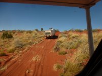
Some harder ones needed extra air out (short video clip)
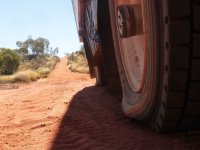
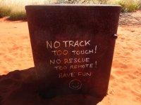
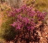
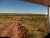
Georgina Bore. Good water.
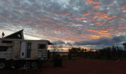
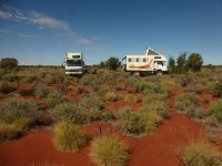
Camp site.
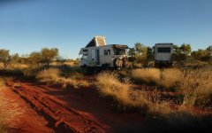
We plan on spending 2 nights here.
Cheers,
Peter
OKA196 motorhome

Slow, but enjoyed today. Varied country, different vegetation, wild flowers and some "sticky" dunes.
We started the Canning in the Gibson Desert, passed through some of the Great Sandy Desert and we are now in the Little Sandy Desert (which is not "little" at all).
Quite a few dunes of varying difficulty to cross.

Some harder ones needed extra air out (short video clip)


Georgina Bore. Good water.

Camp site.

We plan on spending 2 nights here.
Cheers,
Peter
OKA196 motorhome
Peter_n_Margaret
Adventurer
78km today.
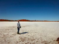
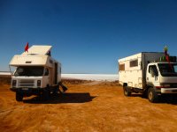
Georgia Bore to Lake Disappointment.
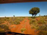
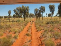
We took the northern (alternate) track which is much less used and misses a couple of the old wells. It had very few corrugations, but was scratchy in places. A very pleasant drive and we were camped next to the Lake by noon.
We only saw one other vehicle on the track today.
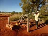
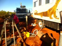
Filling with water at Georgia Bore. It was warm, but very good water (no dead camels nearby :lol: ).
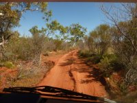
Terrain varied constantly.
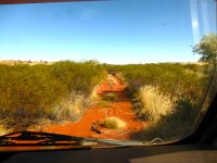
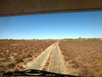
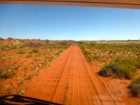
And some short video clips from the dash cam.
Cheers,
Peter
OKA196 motorhome
Georgia Bore to Lake Disappointment.
We took the northern (alternate) track which is much less used and misses a couple of the old wells. It had very few corrugations, but was scratchy in places. A very pleasant drive and we were camped next to the Lake by noon.
We only saw one other vehicle on the track today.

Filling with water at Georgia Bore. It was warm, but very good water (no dead camels nearby :lol: ).

Terrain varied constantly.


And some short video clips from the dash cam.
Cheers,
Peter
OKA196 motorhome
Last edited:
Peter_n_Margaret
Adventurer
Peter_n_Margaret
Adventurer
Day 7 on the track, 104km today.
Lake Disappointment camp site to Diebil Hills with a diversion to Onegunya Rock Hole.
A nice drive with a minimum of corrugations (except for some on the Diebil Hills track).
Mostly small dunes in random orientation (which is very unusual in Australia), except for one dune which needed extra air out to negotiate. There were also several dry lake beds to cross and the dry end of Savoury Creek which is full of salty water.
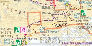
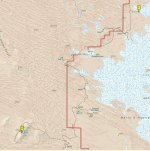
HEMA Great Desert Tracks map.
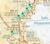
HEMA 1:150,000 map showing random orientation of some dunes.
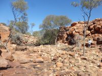
Oengunya Rock Hole
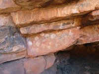
Remnants of ancient rock art.
The track to Diebil Hills
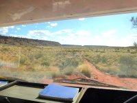
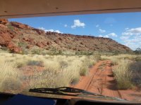
Diebil Hills camp site
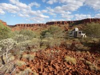
And a couple of short dash cam clips.
Savoury Creek.
Track to Diebil Hills.
Corrugations at 30kph.
Corrugations at 20kph.
Cheers,
Peter
OKA196 motorhome
Lake Disappointment camp site to Diebil Hills with a diversion to Onegunya Rock Hole.
A nice drive with a minimum of corrugations (except for some on the Diebil Hills track).
Mostly small dunes in random orientation (which is very unusual in Australia), except for one dune which needed extra air out to negotiate. There were also several dry lake beds to cross and the dry end of Savoury Creek which is full of salty water.
HEMA Great Desert Tracks map.

HEMA 1:150,000 map showing random orientation of some dunes.

Oengunya Rock Hole

Remnants of ancient rock art.

The track to Diebil Hills


Diebil Hills camp site

And a couple of short dash cam clips.
Savoury Creek.
Track to Diebil Hills.
Corrugations at 30kph.
Corrugations at 20kph.
Cheers,
Peter
OKA196 motorhome
Last edited:
Peter_n_Margaret
Adventurer
Day 8.
Looking for an elusive spring in the Diebil Hills.
We had a couple of conflicting descriptions of where this spring was located including some GPS coordinates from ExplorOz, so headed off at 0830 to see if we could find it.
Heading east up the blind canyon.
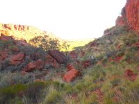
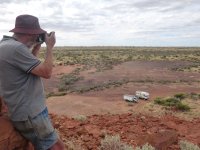
The motorhomes are visible in the distance.
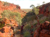
At the top.
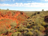
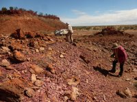
Looking for the elusive spring. We get within 10m of the position coordinates, but it is over the edge.
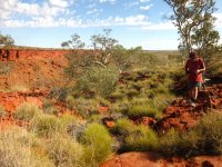
We check another spot for the spring on top along a water course, but to no avail. What looked like a pool on Google Earth was actually a larger tree.
Looking east from the top towards some hills that we passed on the way in.
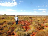
Coming down.
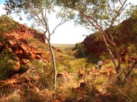
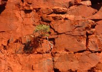
We check to see if we can locate the spring from the bottom, but can not get closer than 30m of the coordinates. We are convinced that if the spring exists, it is not at these coordinates.
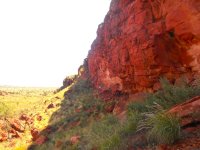
This little walk took almost 4 hours.
Cheers,
Peter
OKA196 motorhome
Looking for an elusive spring in the Diebil Hills.
We had a couple of conflicting descriptions of where this spring was located including some GPS coordinates from ExplorOz, so headed off at 0830 to see if we could find it.
Heading east up the blind canyon.

The motorhomes are visible in the distance.

At the top.

Looking for the elusive spring. We get within 10m of the position coordinates, but it is over the edge.

We check another spot for the spring on top along a water course, but to no avail. What looked like a pool on Google Earth was actually a larger tree.
Looking east from the top towards some hills that we passed on the way in.

Coming down.


We check to see if we can locate the spring from the bottom, but can not get closer than 30m of the coordinates. We are convinced that if the spring exists, it is not at these coordinates.

This little walk took almost 4 hours.
Cheers,
Peter
OKA196 motorhome
Peter_n_Margaret
Adventurer
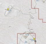
Day 9.
Diebil camp site to Durba Springs camp site.
43km and 2 1/2 hours (including a short stop to bury toilet waste).
Leaving Diebil Hills camp site.
On the Diebil Hills track.
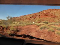
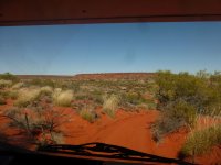
On the main Canning track with more "confused" sand hills.
Wrong gear.
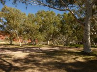
Arriving at Durba Springs camp site.
Lots talked about regarding this camp site. We expect it to be very busy as many people stop here for several days. When we arrive at 10.45am, the place is completely empty.
https://youtu.be/oeSMMVTl2ek
Time to select a camp, change our minds, relax, and check a few mechanical items before dinner.
As the light fails, another 5 vehicles have arrived.
Cheers,
Peter
OKA196 motorhome
Last edited:
Peter_n_Margaret
Adventurer
Day 10 on the southern Canning.
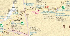
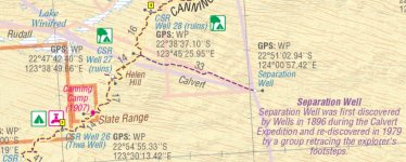
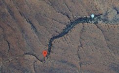
Yesterday's map.....
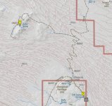
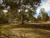
Parked up at Derba Springs. We had a couple of light showers over night.
There were just 5 other vehicles camped over night. Several nights ago there were 50.
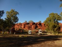
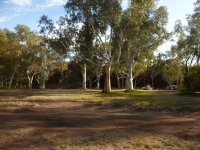
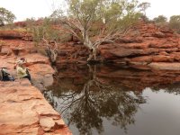
We take a walk up the gorge.
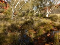
About as far as we got. Climbing the waterfall was getting a bit too tough. Not as young as we used to be.

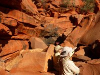
About 2 1/2 hours, 3.5km.
By the time we got back to camp, everyone else was gone or leaving.
Cheers,
Peter
OKA196 motorhome
Yesterday's map.....

Parked up at Derba Springs. We had a couple of light showers over night.
There were just 5 other vehicles camped over night. Several nights ago there were 50.


We take a walk up the gorge.

About as far as we got. Climbing the waterfall was getting a bit too tough. Not as young as we used to be.

About 2 1/2 hours, 3.5km.

By the time we got back to camp, everyone else was gone or leaving.

Cheers,
Peter
OKA196 motorhome
Pacific Northwest yetti
Expedition Medic
Peter_n_Margaret
Adventurer
Peter_n_Margaret
Adventurer
Day 12. 78km. Derba Springs to Well 15.
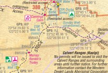
Only 2 other vehicles in the Derba Springs camp area last night.
Rained over night and still drizzling this morning.
When we chose the camp spot it was about getting some extra sun, but that has been a failure.
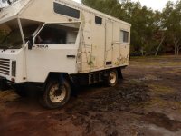
The Li house batteries are under 50% so I include charging direct from the alternator as we drive, just to see how it goes. Never done this before with the new batteries for more than a few minutes.
Some wet spots along the track.
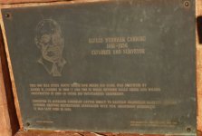
We climb up to Cannings Cairn along the way. It takes us just under an hour round trip.
Climbing rocks is getting easier with practice.
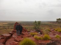
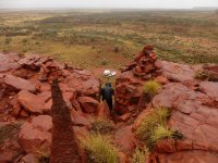
We visit Well 16.
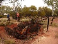
Margaret gets some wildflower pics without getting wet feet.
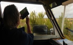
And there is a rough spot along the way.
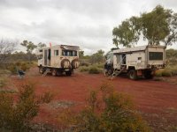
We pick a campsite at Well 15.
But then fill up with water in anticipation of a long hot shower.
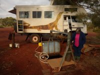
The water is about 2.5m down from the top of the well, but a standard 12V RV diaphragm pump easily self primes and pumps it directly into our tanks. Easier than filling the trough by winding up the heavy steel bucket of days gone by.
The 320Ah Li house battery has come up to 93% SOC (about 133Ah from the alternator plus 39Ah from the solar) while driving 3hrs 50 minutes and parked about 1 hour along the way. There is still enough solar to top it off in camp, so a good result.
EDIT: ps, we also run a 30Ah, 800CCA Li crank battery that weighs just 4.5kg. Standard 85A alternator is about 14.3V.
Just one other vehicle in camp at dark.
Cheers,
Peter
OKA196 motorhome

Only 2 other vehicles in the Derba Springs camp area last night.
Rained over night and still drizzling this morning.
When we chose the camp spot it was about getting some extra sun, but that has been a failure.

The Li house batteries are under 50% so I include charging direct from the alternator as we drive, just to see how it goes. Never done this before with the new batteries for more than a few minutes.
Some wet spots along the track.
We climb up to Cannings Cairn along the way. It takes us just under an hour round trip.
Climbing rocks is getting easier with practice.


We visit Well 16.

Margaret gets some wildflower pics without getting wet feet.

And there is a rough spot along the way.
We pick a campsite at Well 15.

But then fill up with water in anticipation of a long hot shower.

The water is about 2.5m down from the top of the well, but a standard 12V RV diaphragm pump easily self primes and pumps it directly into our tanks. Easier than filling the trough by winding up the heavy steel bucket of days gone by.
The 320Ah Li house battery has come up to 93% SOC (about 133Ah from the alternator plus 39Ah from the solar) while driving 3hrs 50 minutes and parked about 1 hour along the way. There is still enough solar to top it off in camp, so a good result.
EDIT: ps, we also run a 30Ah, 800CCA Li crank battery that weighs just 4.5kg. Standard 85A alternator is about 14.3V.
Just one other vehicle in camp at dark.
Cheers,
Peter
OKA196 motorhome
Last edited:
Peter_n_Margaret
Adventurer
Similar threads
- Replies
- 0
- Views
- 527
- Replies
- 3
- Views
- 1K
- Replies
- 0
- Views
- 408
- Replies
- 0
- Views
- 328

