Sunsets

DrMoab

Explorer
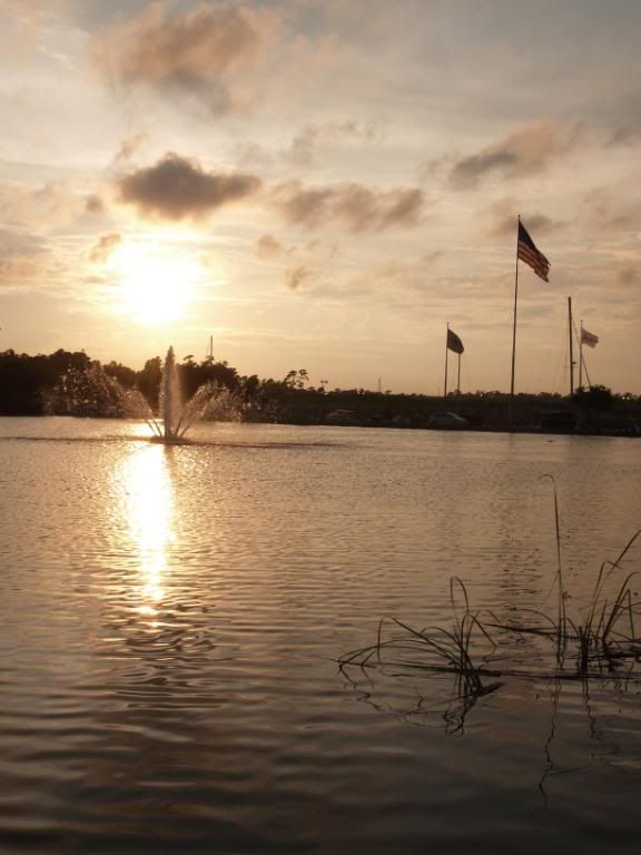
I came to this refuge to get this at sunset only to be told the place closed two hours before sunset :sigh: Oh well, I took what I could get.
Logs.jpg
 

Cypher

Full Time Traveler
Man,there are some amazing pics in this thread! I am unable to see most of them while at work, but I just walked the entire thread now from home. Awesome!
 

slomatt

Adventurer
Wow. Amazing view from you home!

Thanks, we just moved to the Oakland Hills from San Francisco about 2 months ago. The commute is a bit longer, but I have a lot more room in the garage and the view was a big selling point. :)

- Matt
 
S

Scenic WonderRunner

Guest
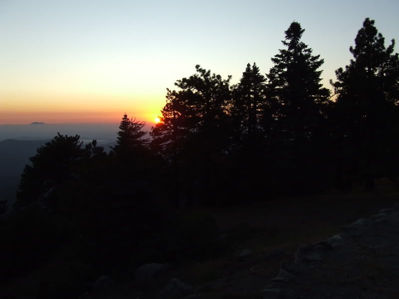
My new Favorite SoCal Hideaway, with Totally Scenic Views to die for!


2009_0730SoCalSecretSunset0027.jpg


I believe that is Santiago Peak sticking up above the fog/marine layer.

I bet Adventureduo knows Santiago Peak!

I'm sure, on a clear day, you can see Catalina Island!

Can you triangulate my position>?!!!.....:elkgrin::costumed-smiley-007:ylsmoke:


.
 
S

Scenic WonderRunner

Guest
Are you north or south of the 10?
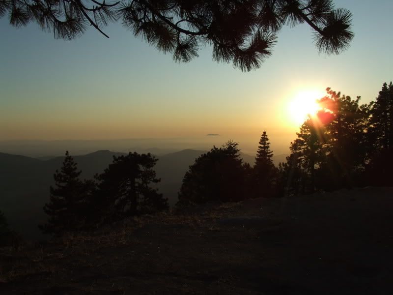

No further clues!....hehe:sombrero::costumed-smiley-007:ylsmoke:


One must look at a map. Figure out the Location of Santiago Peak.

Figure out the coordinates of the sunset on July 30 2009.

And draw lines to my camera!....:ylsmoke:


Now how fun is that!


O.K. One last clue. No One on ExPo has Ever mentioned this spot.:elkgrin:


2009_0730SoCalSecretSunset0013.jpg


.
 
Last edited by a moderator:

Sexy6Chick

Adventurer
Greenville, NC

PA274219.jpg


PA274221.jpg


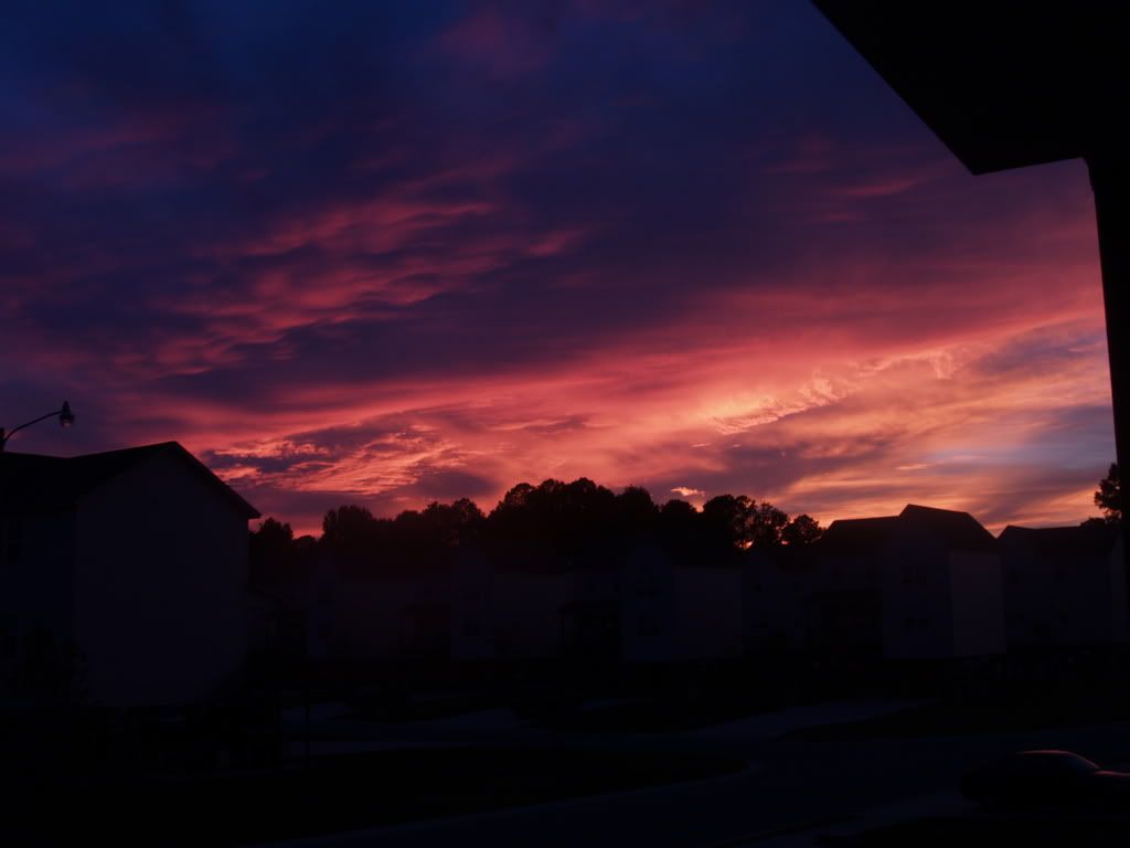
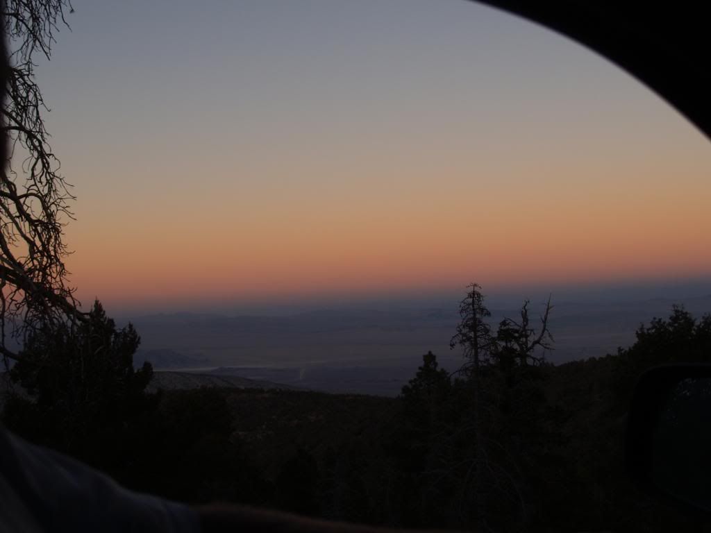
Taken out the window while wheeling last October on Gold Mountain in CA

WestCoastMeet120.jpg


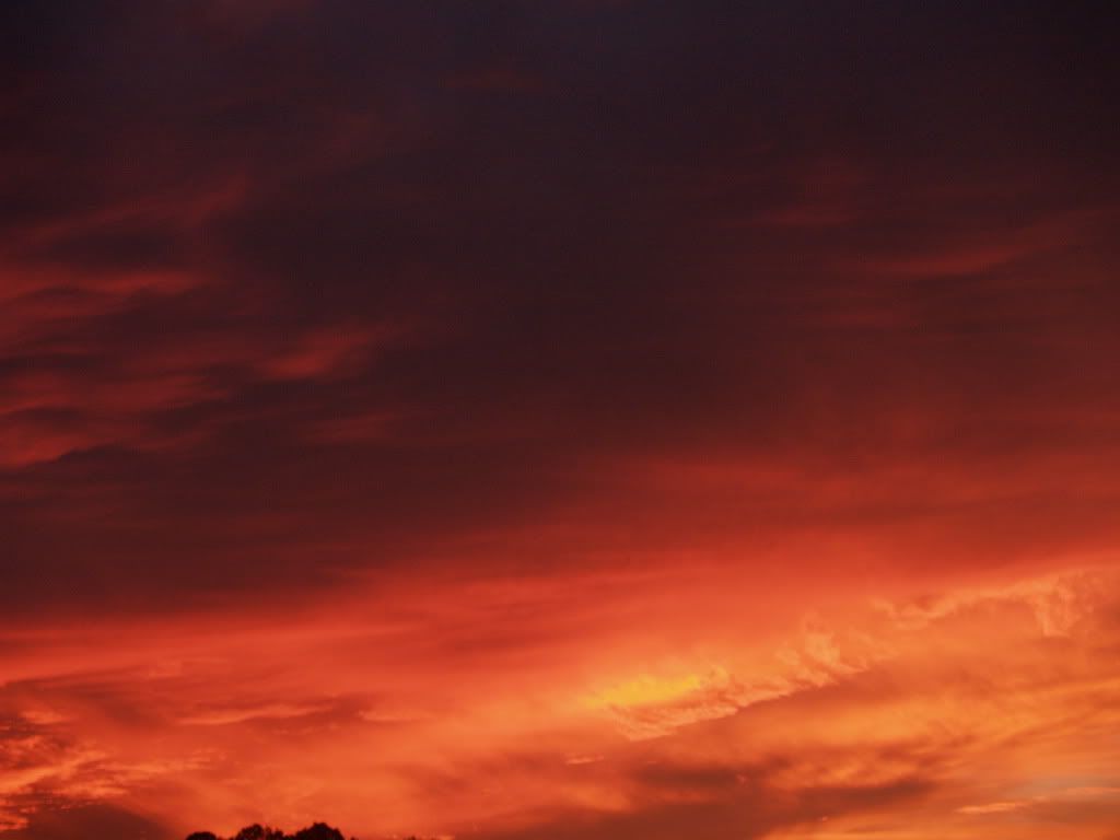
Barefoot Landing in Myrtle Beach, SC this past June

P6088118.jpg
 
Last edited:

cnynrat

Expedition Leader
No further clues!....hehe:sombrero::costumed-smiley-007:ylsmoke:


One must look at a map. Figure out the Location of Santiago Peak.

Figure out the coordinates of the sunset on July 30 2009.

And draw lines to my camera!....:ylsmoke:


Now how fun is that!


O.K. One last clue. No One on ExPo has Ever mentioned this spot.:elkgrin:


2009_0730SoCalSecretSunset0013.jpg


.

From two known points, with no other information, I don't think you can perform the triangulation to find the location from which you took the picture with any degree of precision. Maybe someone smarter than I can tell me how to do that. Thought about trying to estimate the angle between the bearing to Santiago and the sunset, but it wasn't clear that would be at all accurate. Based on the location of Santiago Peak and the sunset in your photo I think you are very generally speaking either in the San Jacinto area or the San Gorgonio area, and you would need a fair degree of accuracy to distinguish between the two.

Generally speaking my guess would be you are somewhere in the vicinity of Idyllwild west of San Jacinto. There is a dirt road that heads up a hill in a southerly direction out of town. At a junction you can turn right and climb up to an isolated pine covered promontory that has views in the direction of your photos. It's been a long while since I've camped there, but I think you may be able to see either Diamond Valley lake or Lake Perris from there, which could be the body of water seen in your photos.

If this is indeed where you camped I want to know why you are camping in my secret location, and request that you cease and desist immediately! ;)
 
S

Scenic WonderRunner

Guest
Pretty close!

I think you are only off by about 25 to 35 miles or so.....:ylsmoke:

Very good!


.
 

Forum statistics

Threads
188,187
Messages
2,903,559
Members
229,665
Latest member
SANelson
Top