hatchcanyon
Lancisti
The Great Traverse
Part 5:
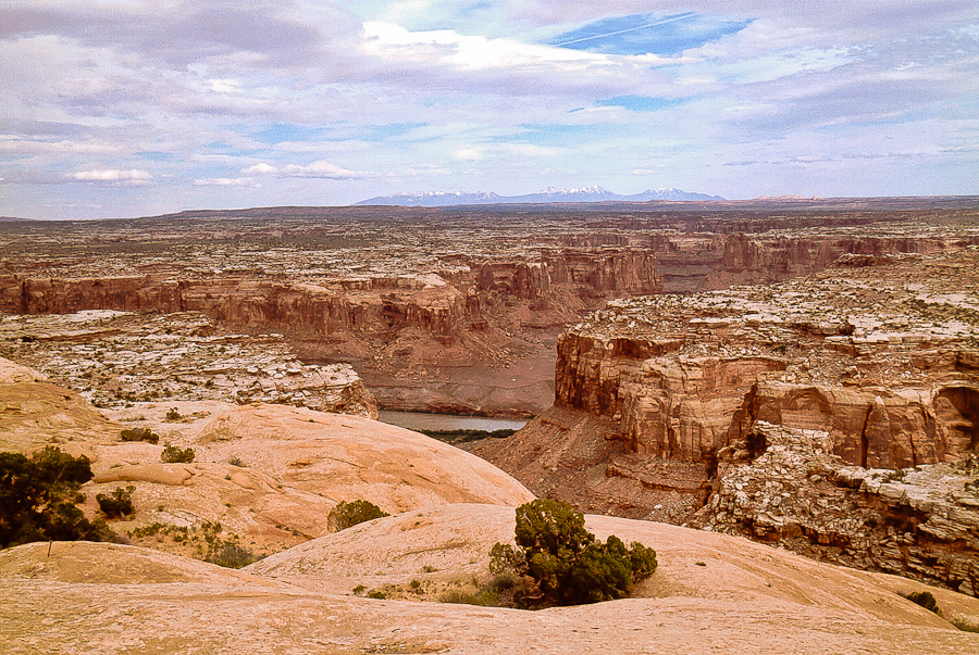
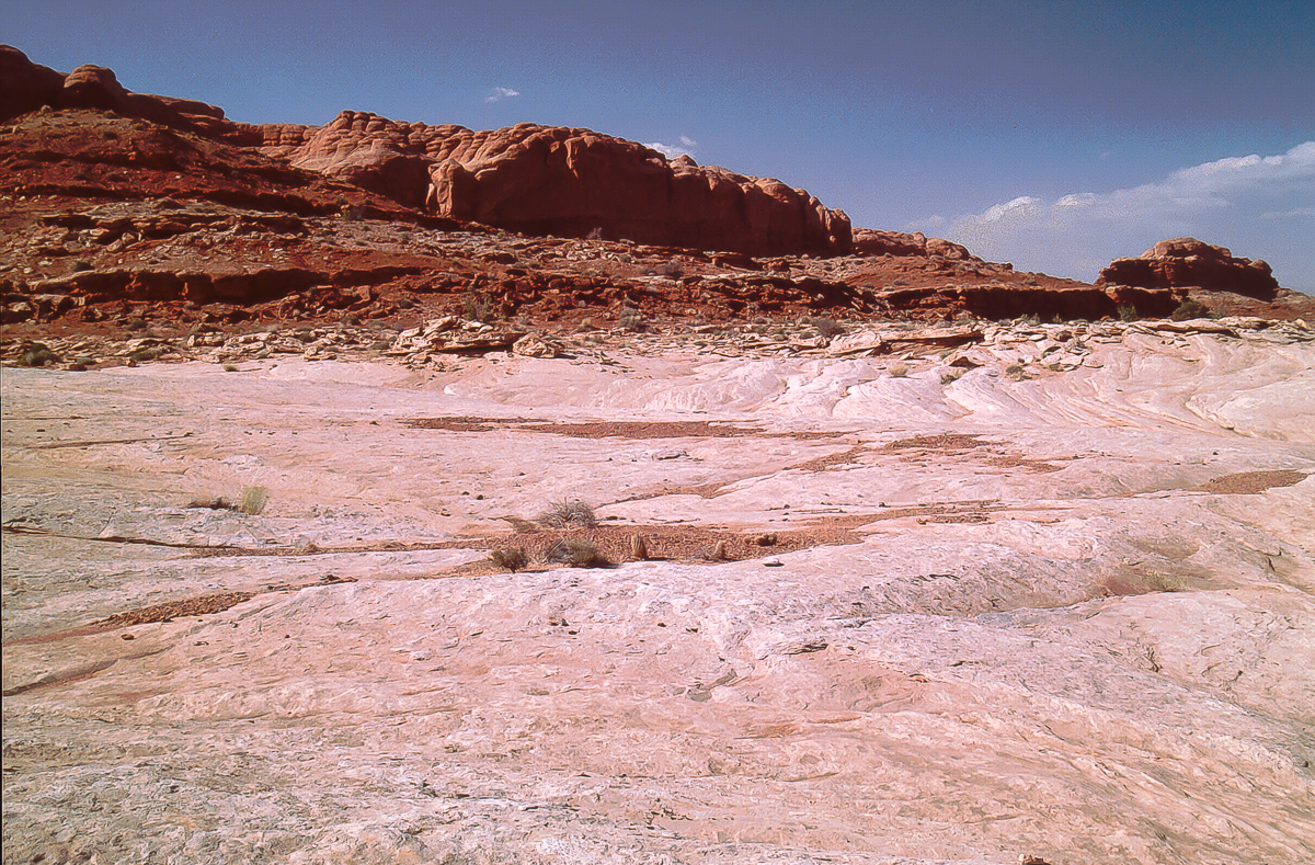
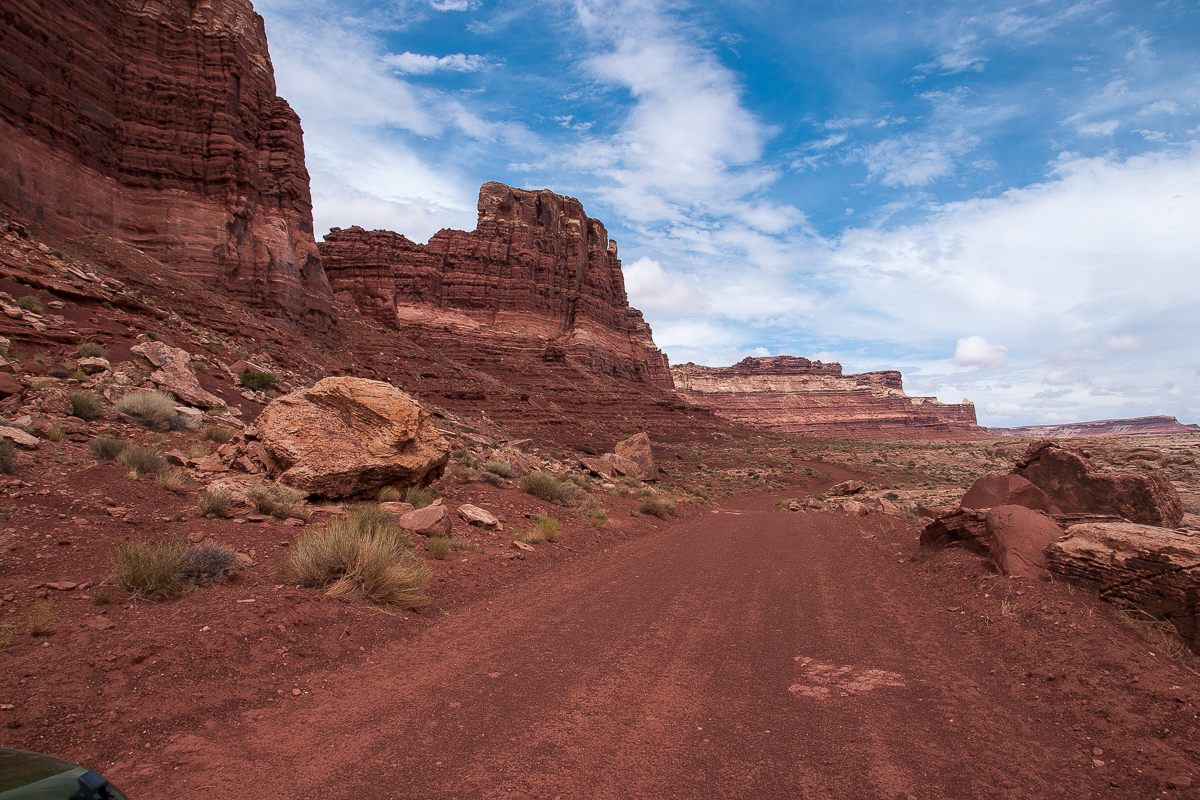
On the eastern end of North Hatch Canyon the Big Ridge Cliffs are the main obstacle for any traffic. The road winds over a - as far as we know - nameless pass into South Hatch Canyon. The elevation difference is less that 400 feet but the road is in Chinle and that makes it sometimes difficult. Deep ruts occasionally with more than 3 feet depth run down the track. On other days ona might find a large boulder on the road - mainly Wingate from above. Every now and then one falls or tumbles down or slides over the surface when wet.

Looking back to the west on eastern end of North Hatch Canyon.
The picture was taken from the northern flank of the pass.

Yellow Sego Lilys are uncommon

Wingate boulders coming down

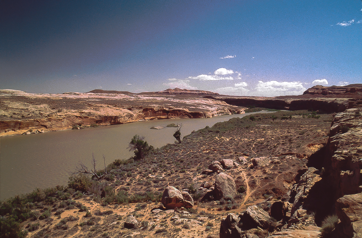
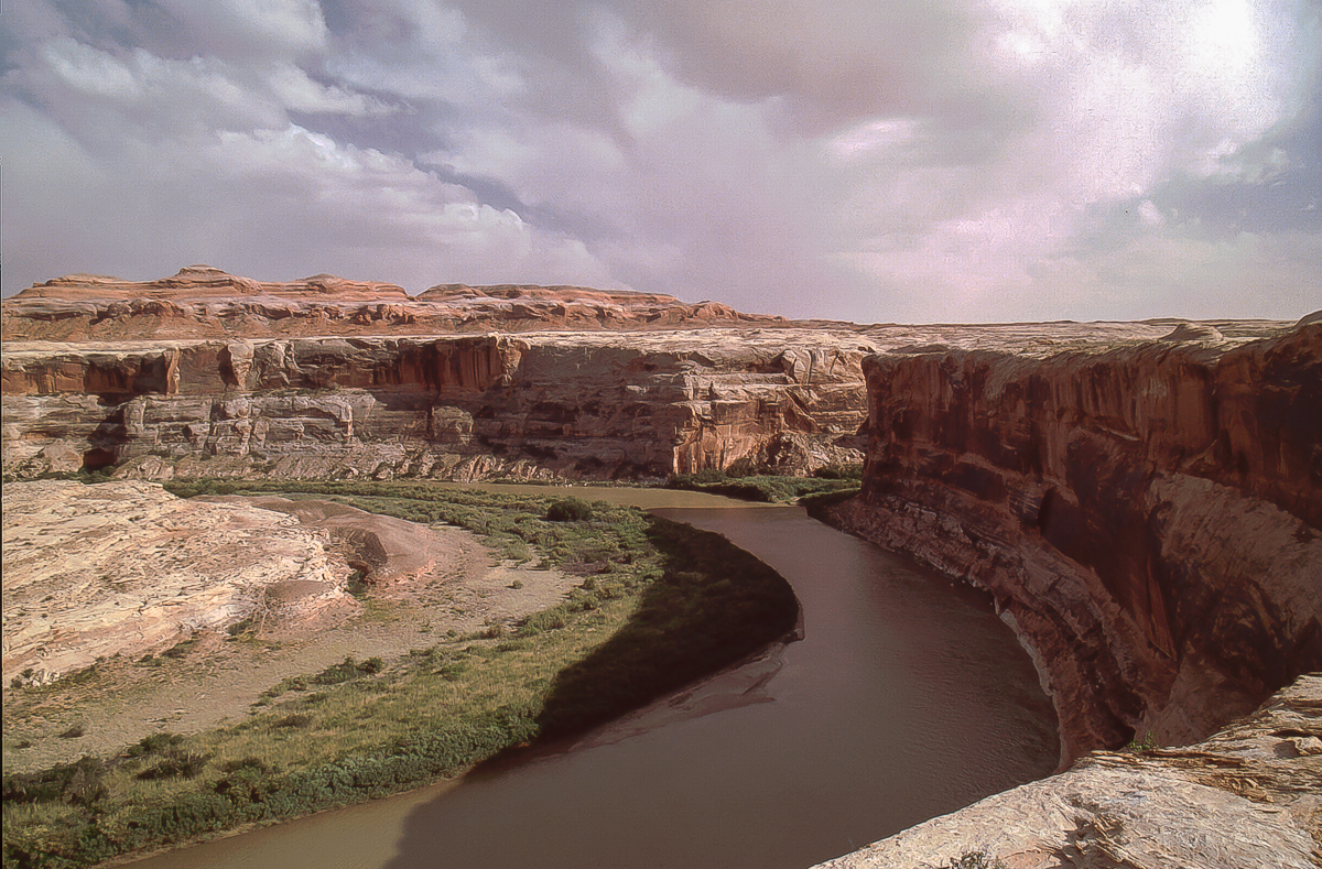
South Hatch Canyon and Sunset Pass with Gunsight Butte
Gunsight Butte is a well known landmark. The road over the pass goes through the northern - in the picture left - opening eventually reaching Waterhole Flat. Years ago Tim Martin flew us through the right gap - through, not over.

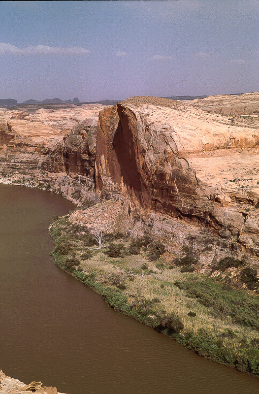
South Hatch Canyon
20 years ago another trail was running down South Hatch Canyon towards Fiddler Butte. The trail was more or less the wash. We made it down the trail for several miles. Nowadays it is closed. Might be that the western part is accessible via another trail branching off North Hatch Canyon Road at 12S 0560175 4217156. This must be the other end of the trail in South Hatch Wash.

Telephoto lense picture down South Hatch Canyon

Camping area on Sunset Pass

Looking down South Hatch to Fiddler Butte

Orange Cliffs
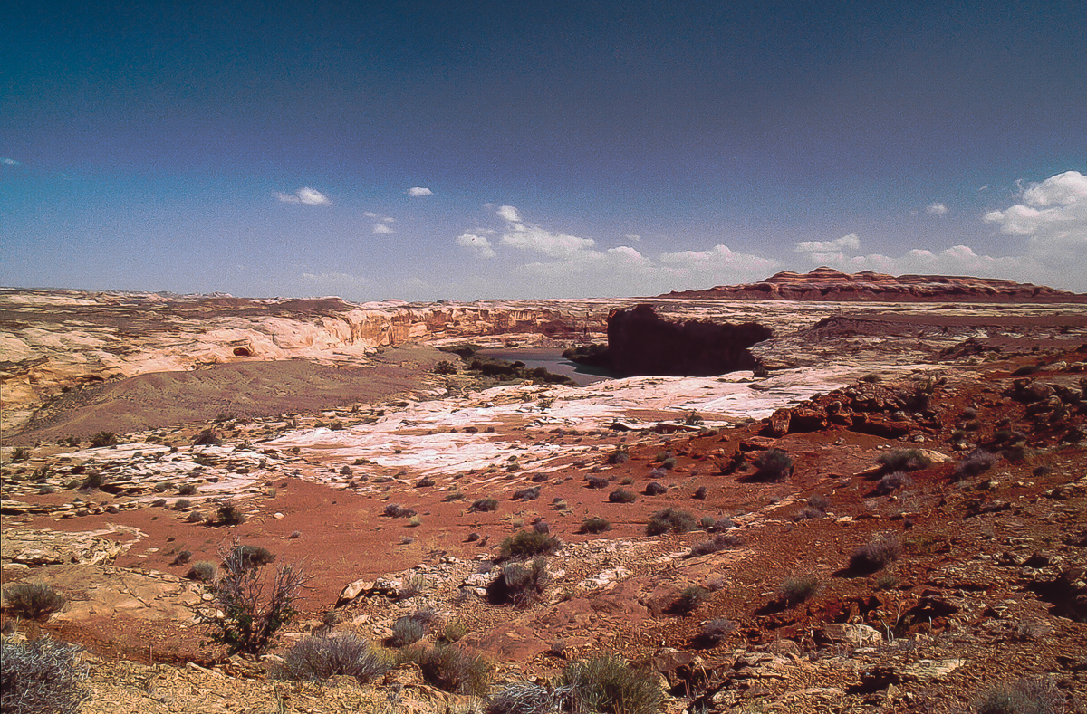
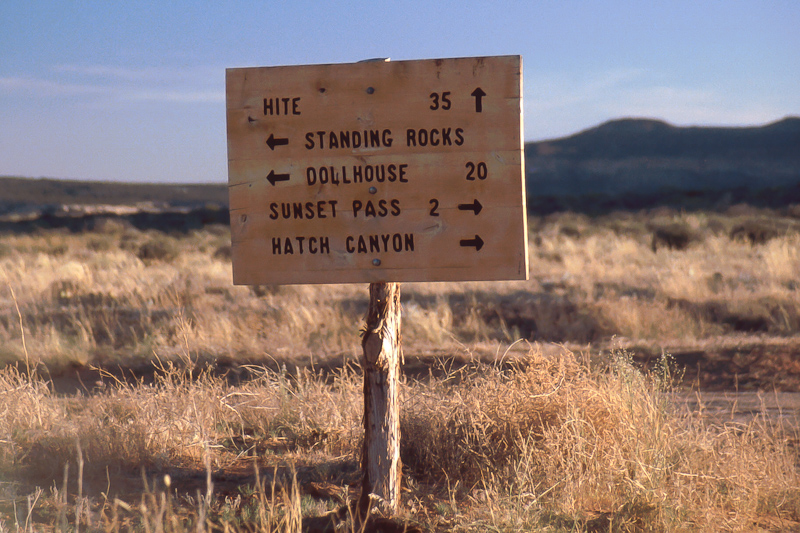
Two miles east of Sunset Pass is Waterhole Flat, the place where Hite Road, Hatch Road, the road from Flint Trail and the trail to Doll House cross.
Roads crossing on Waterhole Flat
Hite Road
At the crossroad we turn left and travel along the Orange Cliffs. To our right we see the large and wild Maze Area.

Orange Cliffs

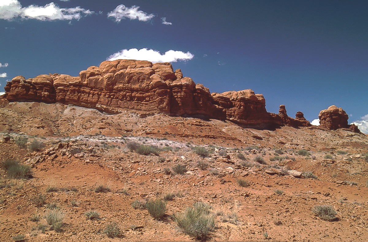
Teapot Rock

Road towards Flint Trail

Chinle Formation below Wingate Sandstone

800 feet below: Trail to the Doll House

in 1994 on the trail to the Doll House

Chinle Deposits

Chinle comes in different hues
Flint Trail is well known for it's sometimes difficult trail on which two vehicles cannot pass each other. Elevation difference: some 600 feet.
12 miles from the upper end of Flint Trail to Hans Flat Ranger Station, the only "civilized" place on the 130 mile distance.

also in 1994: Hans Flat Ranger Station.
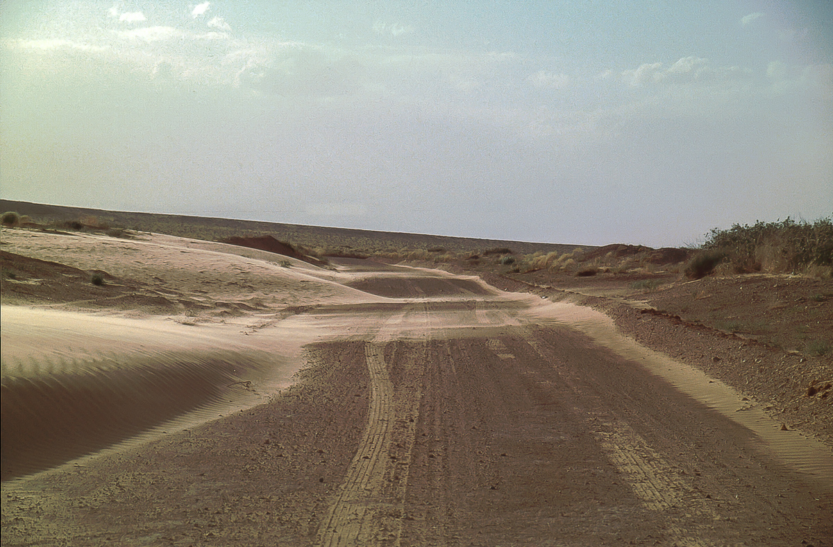
The road from Hans Flat to Green River does not have that much points of interest. Sometimes it is pretty sandy, sometimes you can drive nearly like on a paved highway.
To be continued....
Part 5:
On the eastern end of North Hatch Canyon the Big Ridge Cliffs are the main obstacle for any traffic. The road winds over a - as far as we know - nameless pass into South Hatch Canyon. The elevation difference is less that 400 feet but the road is in Chinle and that makes it sometimes difficult. Deep ruts occasionally with more than 3 feet depth run down the track. On other days ona might find a large boulder on the road - mainly Wingate from above. Every now and then one falls or tumbles down or slides over the surface when wet.
Looking back to the west on eastern end of North Hatch Canyon.
The picture was taken from the northern flank of the pass.
Yellow Sego Lilys are uncommon
Wingate boulders coming down
South Hatch Canyon and Sunset Pass with Gunsight Butte
Gunsight Butte is a well known landmark. The road over the pass goes through the northern - in the picture left - opening eventually reaching Waterhole Flat. Years ago Tim Martin flew us through the right gap - through, not over.
South Hatch Canyon
20 years ago another trail was running down South Hatch Canyon towards Fiddler Butte. The trail was more or less the wash. We made it down the trail for several miles. Nowadays it is closed. Might be that the western part is accessible via another trail branching off North Hatch Canyon Road at 12S 0560175 4217156. This must be the other end of the trail in South Hatch Wash.
Telephoto lense picture down South Hatch Canyon
Camping area on Sunset Pass
Looking down South Hatch to Fiddler Butte
Orange Cliffs
Two miles east of Sunset Pass is Waterhole Flat, the place where Hite Road, Hatch Road, the road from Flint Trail and the trail to Doll House cross.
Roads crossing on Waterhole Flat
Hite Road
At the crossroad we turn left and travel along the Orange Cliffs. To our right we see the large and wild Maze Area.
Orange Cliffs
Teapot Rock
Road towards Flint Trail
Chinle Formation below Wingate Sandstone
800 feet below: Trail to the Doll House
in 1994 on the trail to the Doll House
Chinle Deposits
Chinle comes in different hues
Flint Trail is well known for it's sometimes difficult trail on which two vehicles cannot pass each other. Elevation difference: some 600 feet.
12 miles from the upper end of Flint Trail to Hans Flat Ranger Station, the only "civilized" place on the 130 mile distance.
also in 1994: Hans Flat Ranger Station.
The road from Hans Flat to Green River does not have that much points of interest. Sometimes it is pretty sandy, sometimes you can drive nearly like on a paved highway.
To be continued....