Purple People Eater
Explorer
I took a few days for myself after I passed my NREMT exam, as a celebration and a chance to finally relax and take my time to do whatever the hell I want. I went up to Colorado to visit a friend living in Copper Mountain, shared a 6 pack of Fat Tire and had a good night's sleep, then hit the road again. I was lucky I was headed West, because the sunrise made the snow bright as a flash, and I forgot my sunglasses at home. I stopped in Grand Junction to taste what I have been told is best mead in the country. A hokey and, dare I say, cute place. I tasted the wine and was delighted, so I brought home some Guinevere.
I had no planned destination from there, so I told another friend who lives in Provo that I would be visiting that night. Provo is a beautiful town, with marvelous views of snow capped mountains this time of year. After dinner and a couple hours of catching up, I got back on to I-15. I pulled off the highway at some ranch exit, snuck up into the trees and fell asleep in the back of the Cherokee. I awoke to freezing temperatures and a hard pillow at dawn, so I found my way back to the driver's seat, did a quick spinal adjustment, and set out again. I stopped at a gas station for sustenance, in this case a chocolate chip muffin and a Mountain Dew. Shut up, I'm on vacation!
After I got back onto I-15, I realized that I was driving, but had no idea where I was going. It was an outstanding sense of freedom, really. I took a look at a map and decided to go through Bryce Canyon. I didn't think about having to pay to enter the park, so I pulled up to the pay station and addressed the woman working. "I didn't know you had to pay, I don't have any cash, so I'll just turn around and come back some other time."
To which she replied, "Oh I don't care, you can go in. Have fun." I guess it pays to be dashingly handsome.
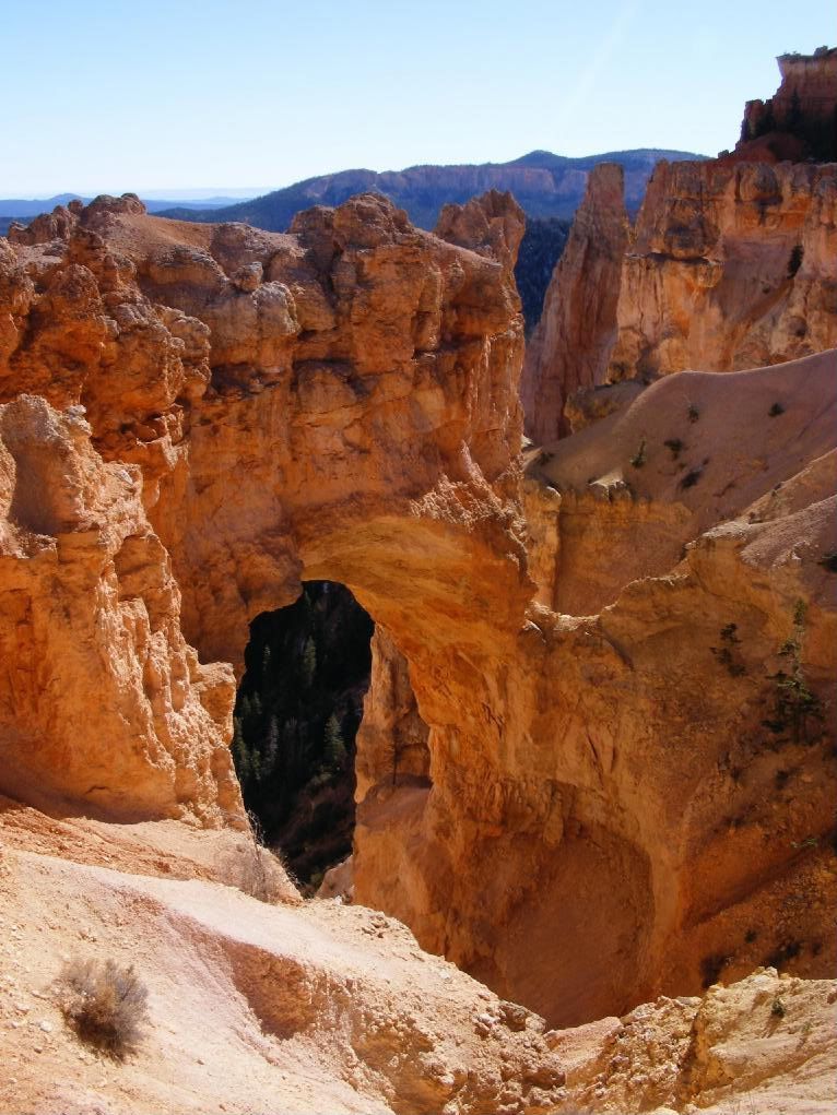
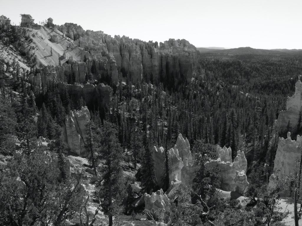
I thought the park was nice...
After a couple hours of seeing the sights, I felt compelled to keep moving. I didn't want to back track to get on the 89, so I decided to take that dirt road on the map that cuts through the land. I stopped at the visitor center to check the condition of the road. "This road leads to the 89, right? What's it like?"
"Oh, son that's a rough road. It'd be quicker if you just got back on the highway. It's 60 miles of winding dirt. But I guess if you have a high-slung vehicle you could do it that way..."
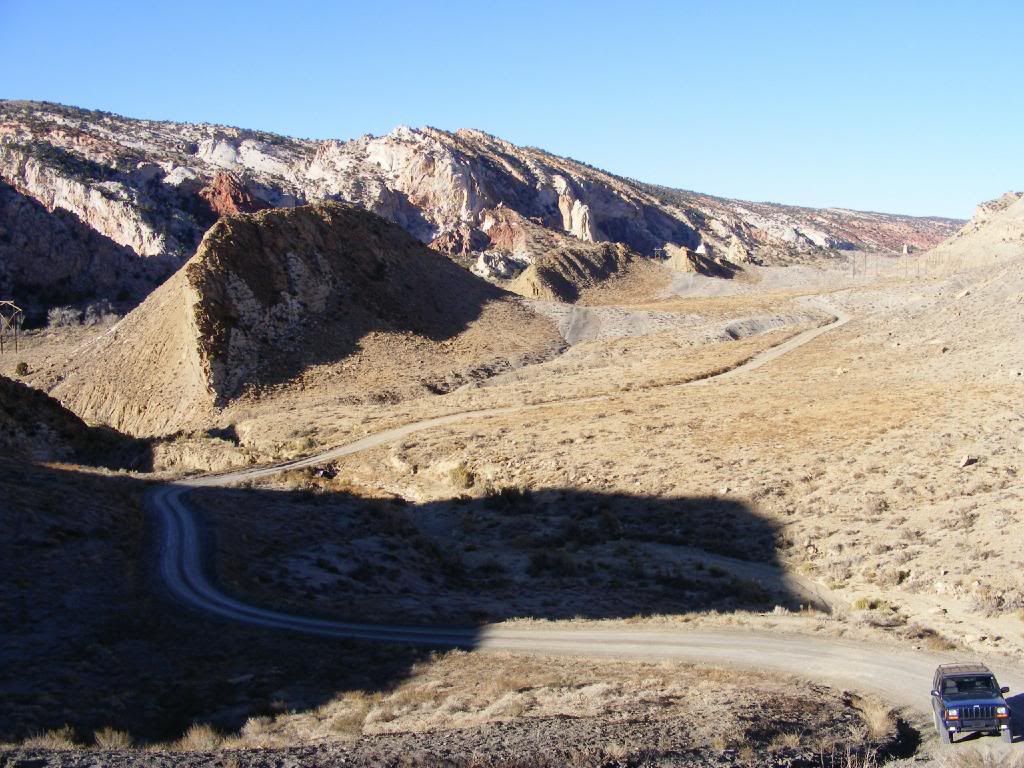
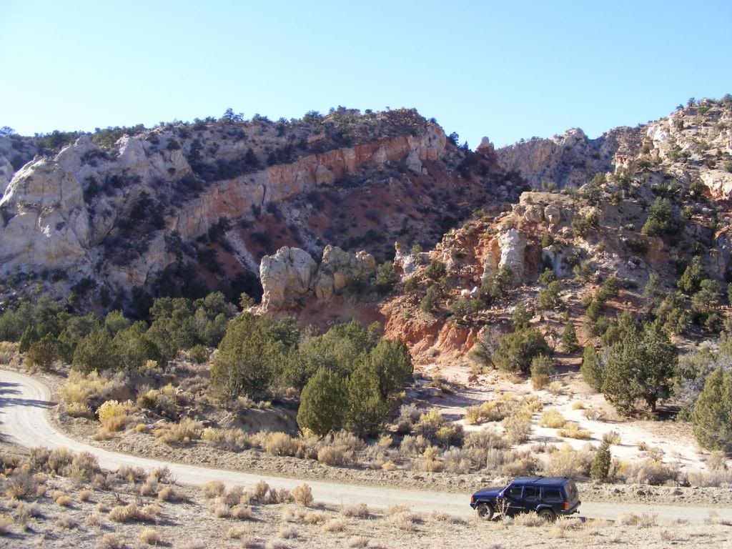
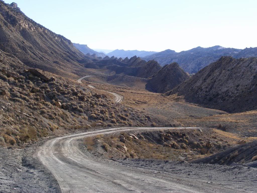
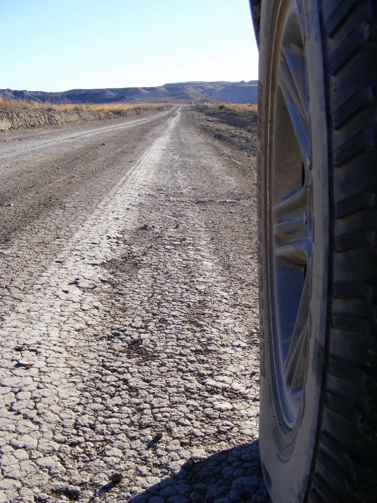
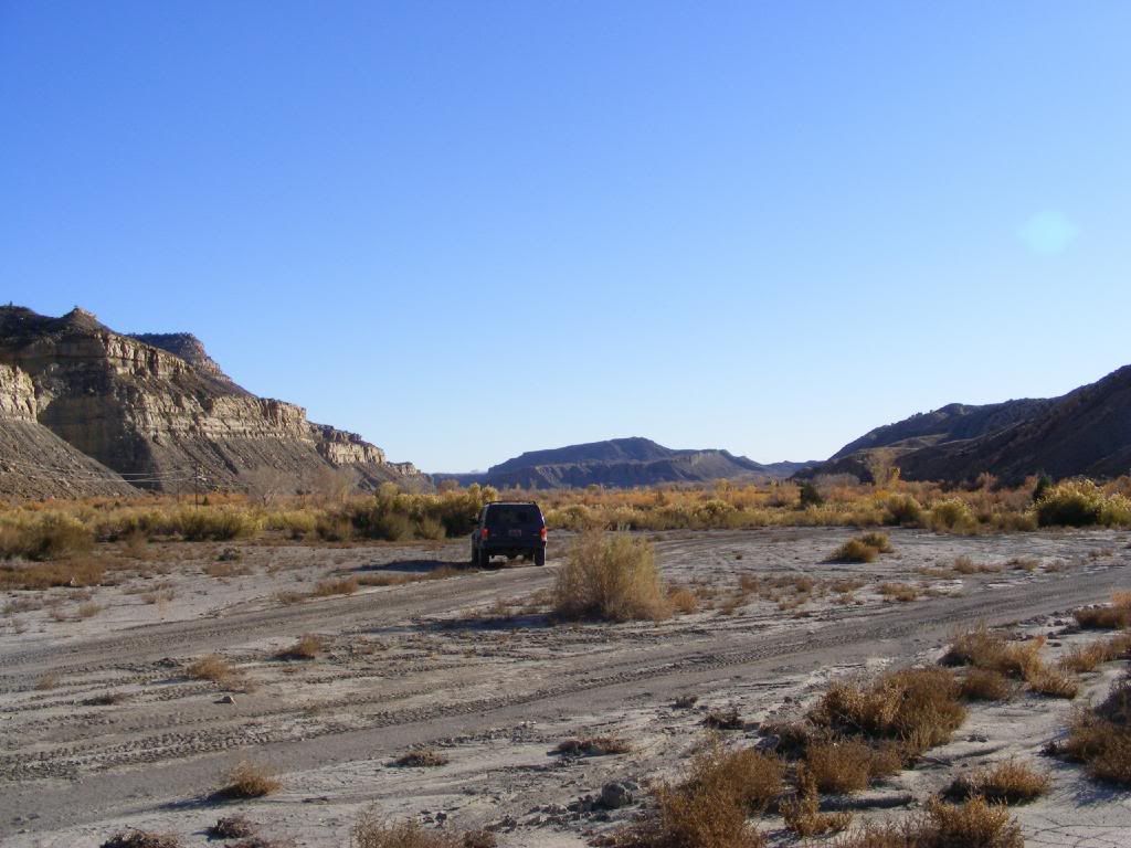
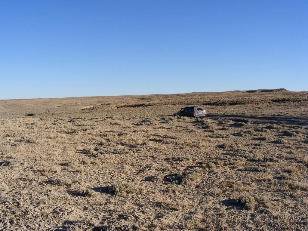
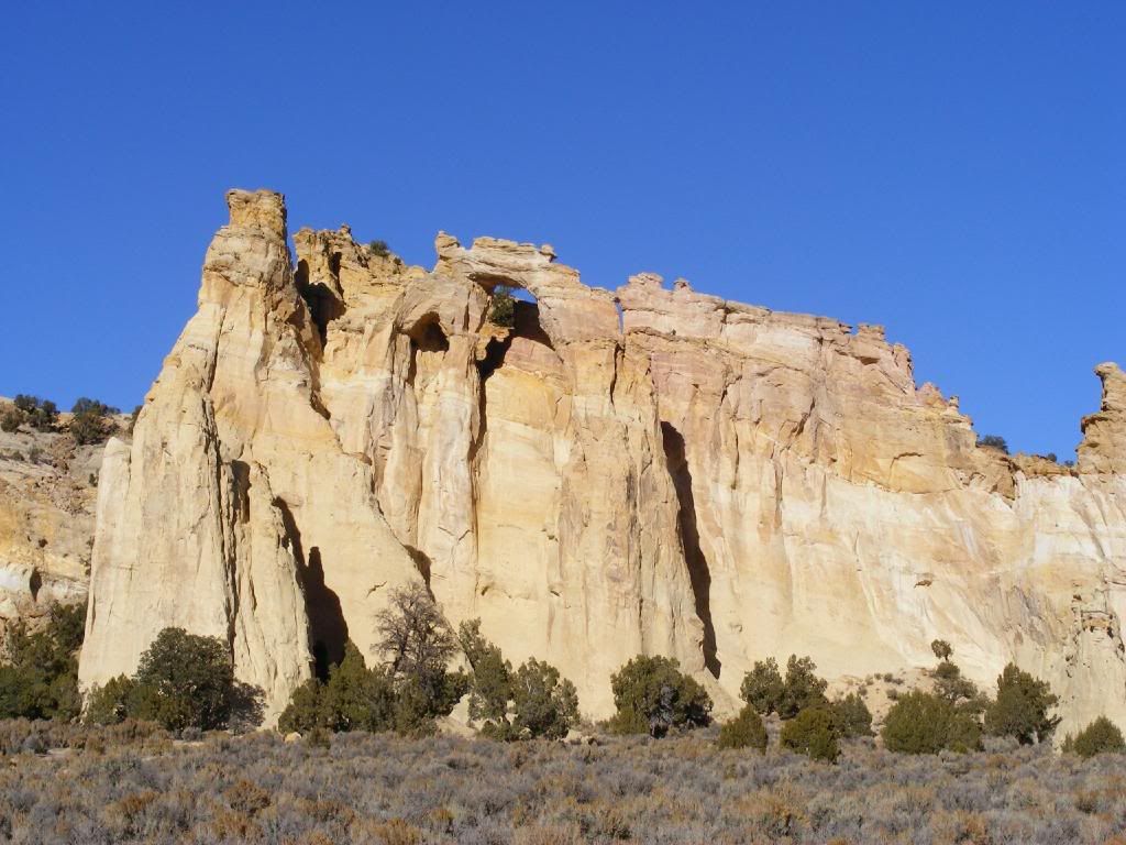
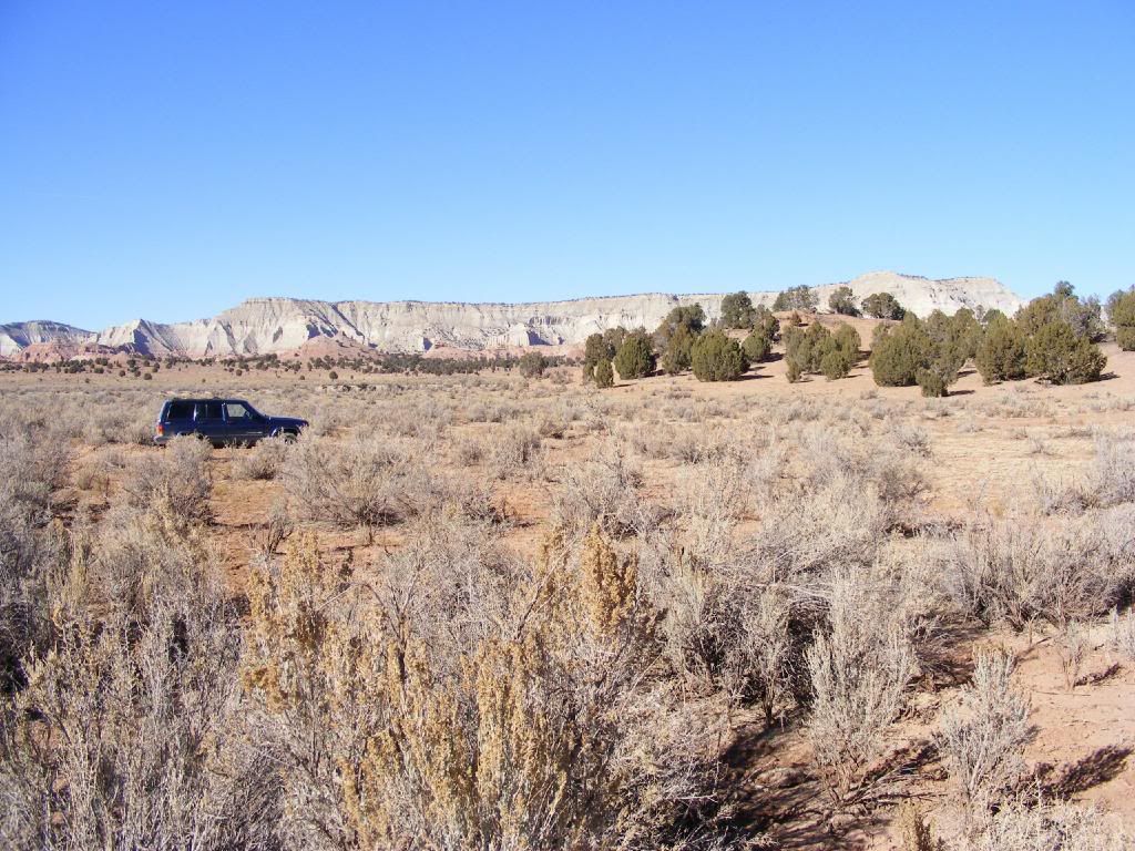
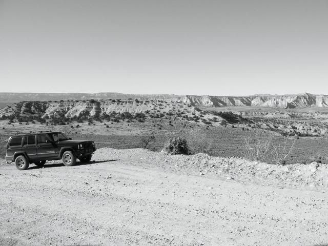
Just about on par with what I wanted to hear. So I entered the Escalante National Park. And it went a little something like this:
I had no planned destination from there, so I told another friend who lives in Provo that I would be visiting that night. Provo is a beautiful town, with marvelous views of snow capped mountains this time of year. After dinner and a couple hours of catching up, I got back on to I-15. I pulled off the highway at some ranch exit, snuck up into the trees and fell asleep in the back of the Cherokee. I awoke to freezing temperatures and a hard pillow at dawn, so I found my way back to the driver's seat, did a quick spinal adjustment, and set out again. I stopped at a gas station for sustenance, in this case a chocolate chip muffin and a Mountain Dew. Shut up, I'm on vacation!
After I got back onto I-15, I realized that I was driving, but had no idea where I was going. It was an outstanding sense of freedom, really. I took a look at a map and decided to go through Bryce Canyon. I didn't think about having to pay to enter the park, so I pulled up to the pay station and addressed the woman working. "I didn't know you had to pay, I don't have any cash, so I'll just turn around and come back some other time."
To which she replied, "Oh I don't care, you can go in. Have fun." I guess it pays to be dashingly handsome.
I thought the park was nice...


After a couple hours of seeing the sights, I felt compelled to keep moving. I didn't want to back track to get on the 89, so I decided to take that dirt road on the map that cuts through the land. I stopped at the visitor center to check the condition of the road. "This road leads to the 89, right? What's it like?"
"Oh, son that's a rough road. It'd be quicker if you just got back on the highway. It's 60 miles of winding dirt. But I guess if you have a high-slung vehicle you could do it that way..."
Just about on par with what I wanted to hear. So I entered the Escalante National Park. And it went a little something like this:


