Imnosaint
Gone Microcamping
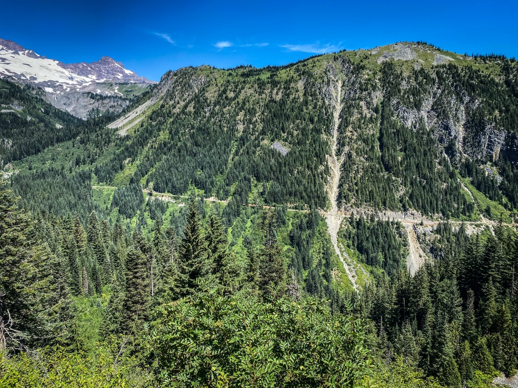
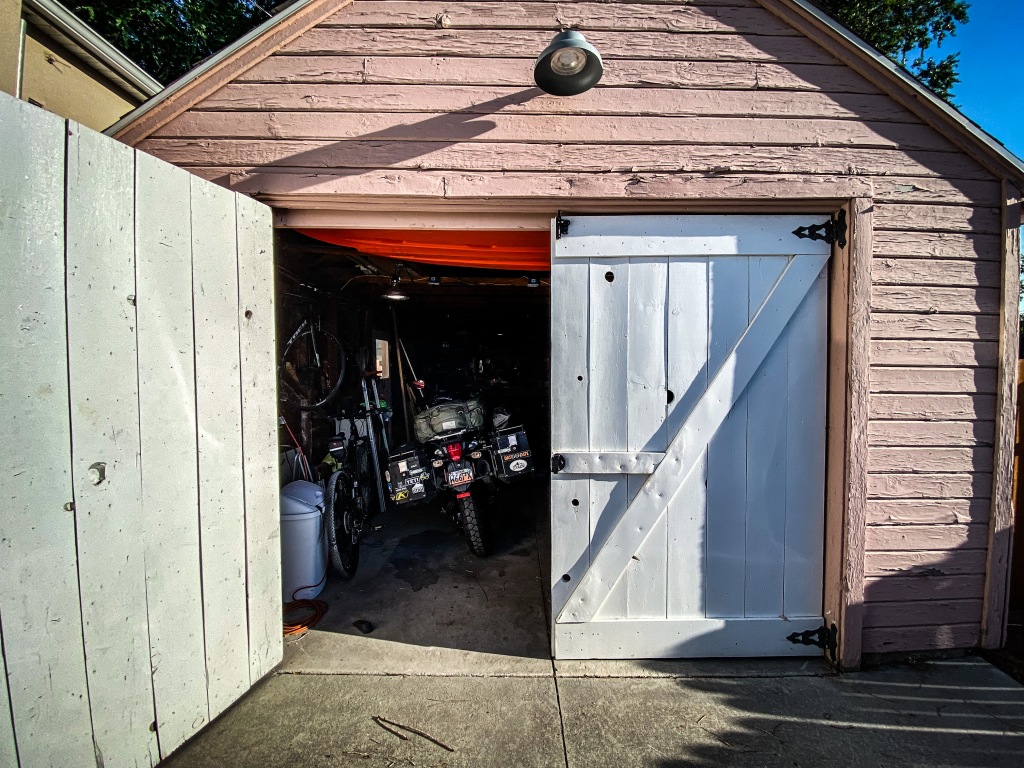
With the Pearls on the Strand ride cut short, I was left with two bothersome whispers bouncing around my brain, neither of which were, was I ever going to pass this way again. That’s an inane thought anyway, one I never entertained when I was traveling without the guillotine of an incurable lymphoma. Funny how we foist the unnecessary but dramatic narratives upon ourselves. It’s kind of embarrassing.
No, the whispers had more to do with being able to actually finish something I started and the other a longing to travel solo. I wanted to go wander by myself and I had fallen in love with the Pacific Northwest in previous adventures, so on July 22, I left Bountiful before sunrise and found my way to Highway 50.
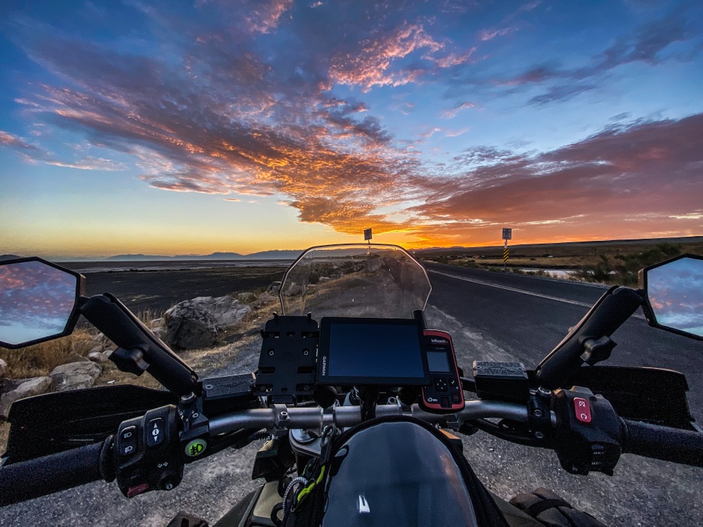
Highway 50 is called the loneliest road in America, and while pre-coronavirus traverses might attest to the route’s friendly folks despite its remoteness and interstate displacement, it has certainly sunk to the lonely standard post-pandemic (if I can even say that) of being a road of ghost towns.
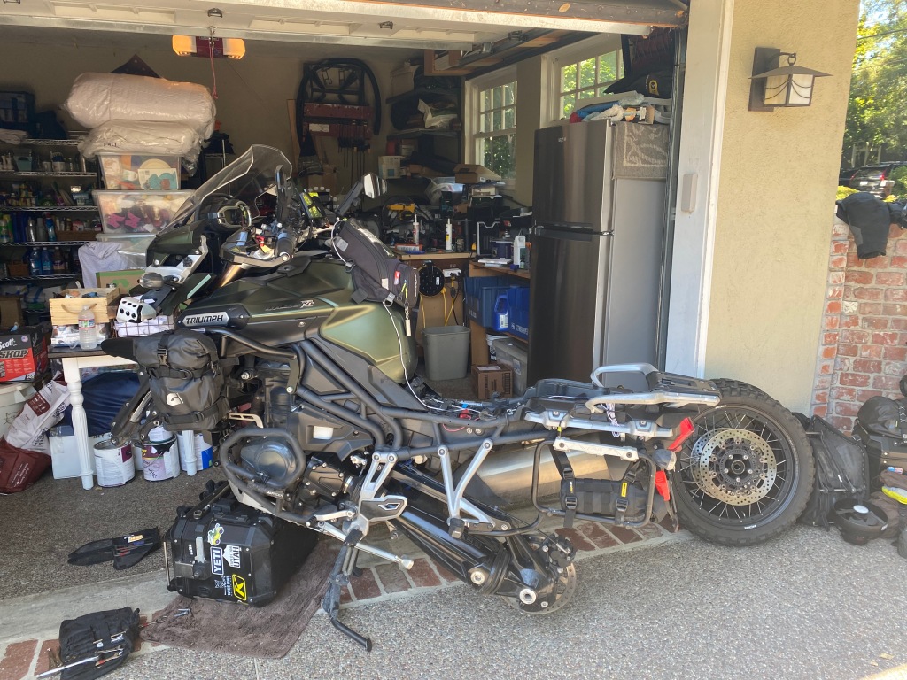
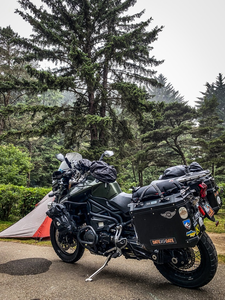
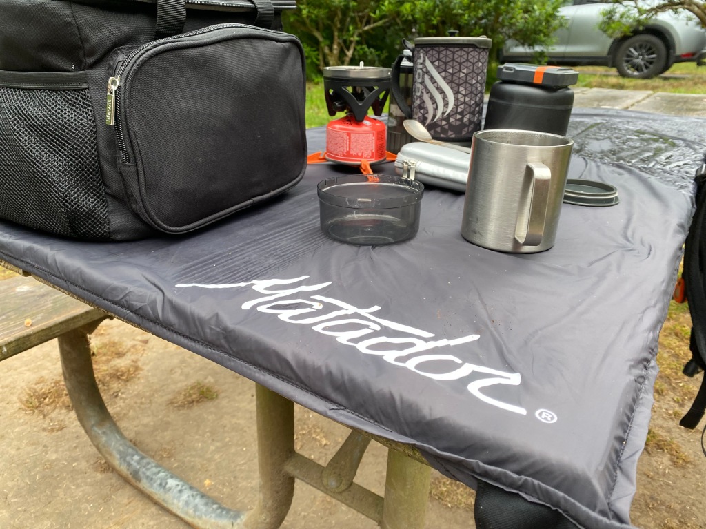
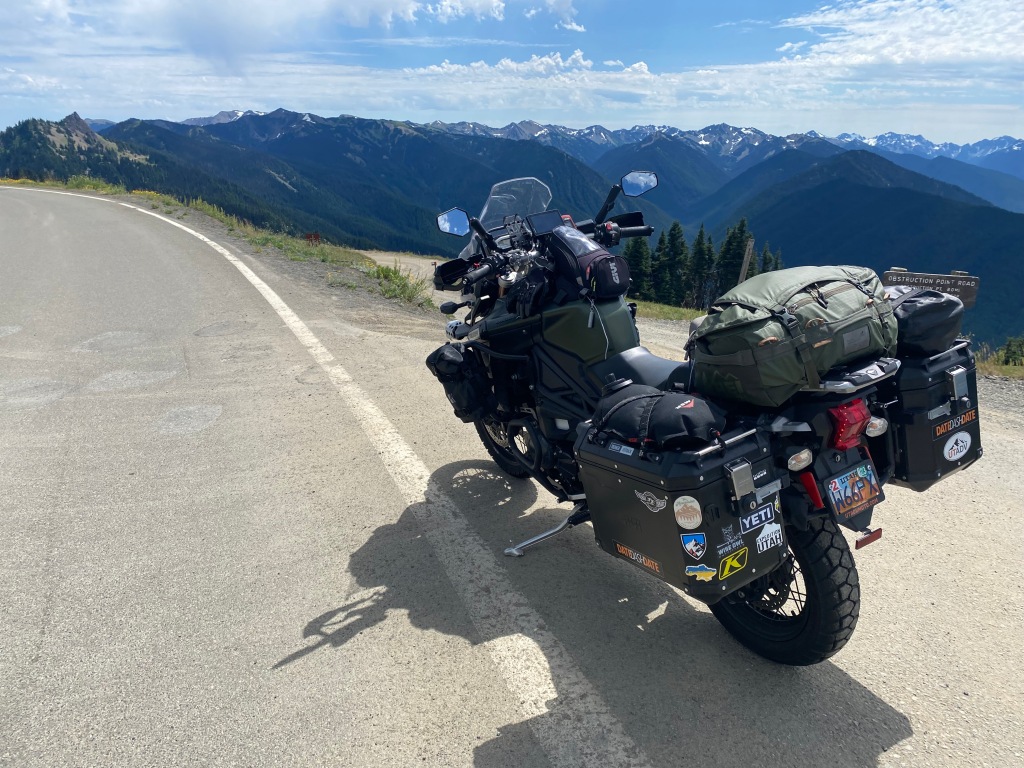
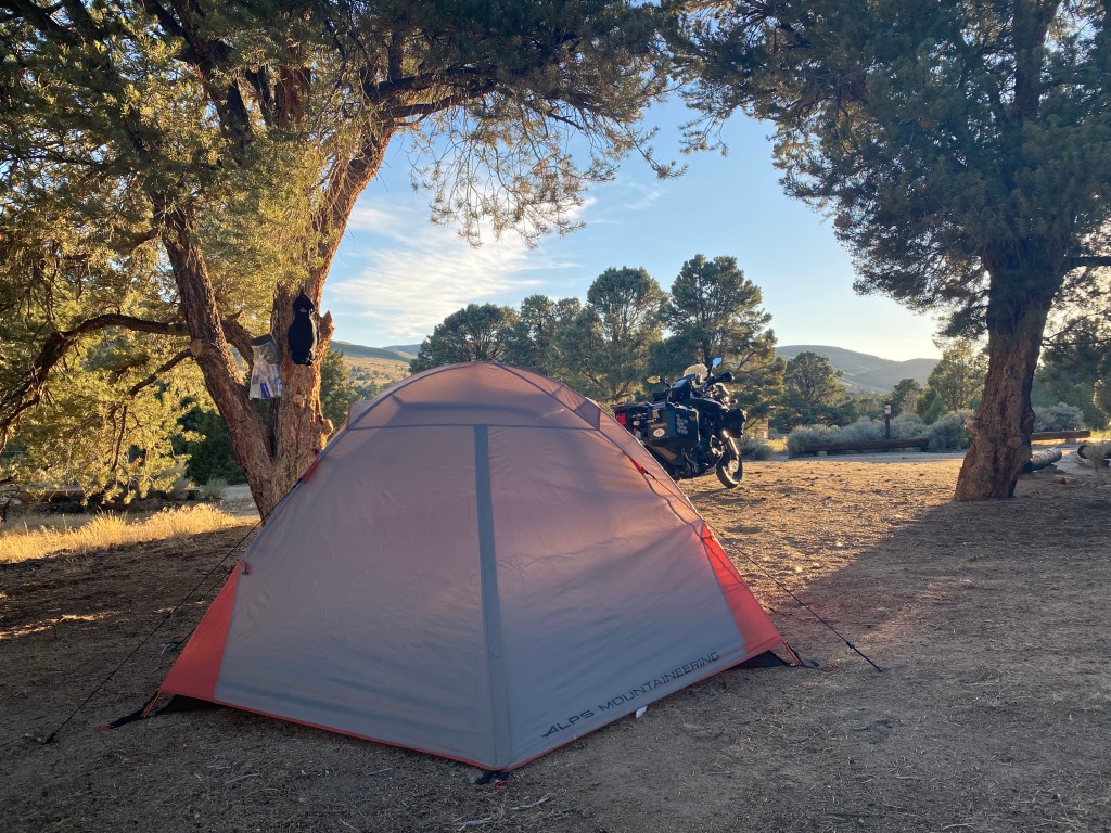
Day One was planned to be easy, with an early arrival at my predetermined camp spot, the Bob Scott Campground, where I was surprised by a pristine Forest Service campground with all the amenities a motorcycle camper could want, plus peace and quiet. I was tired, as I had expected to be from the toll of the recent chemo infusion, and a sunny afternoon nap was a luxury for me on a motorcycle tour. I pitched my tent, made some dinner, worked on the Tiger and had an exceptional night’s sleep.
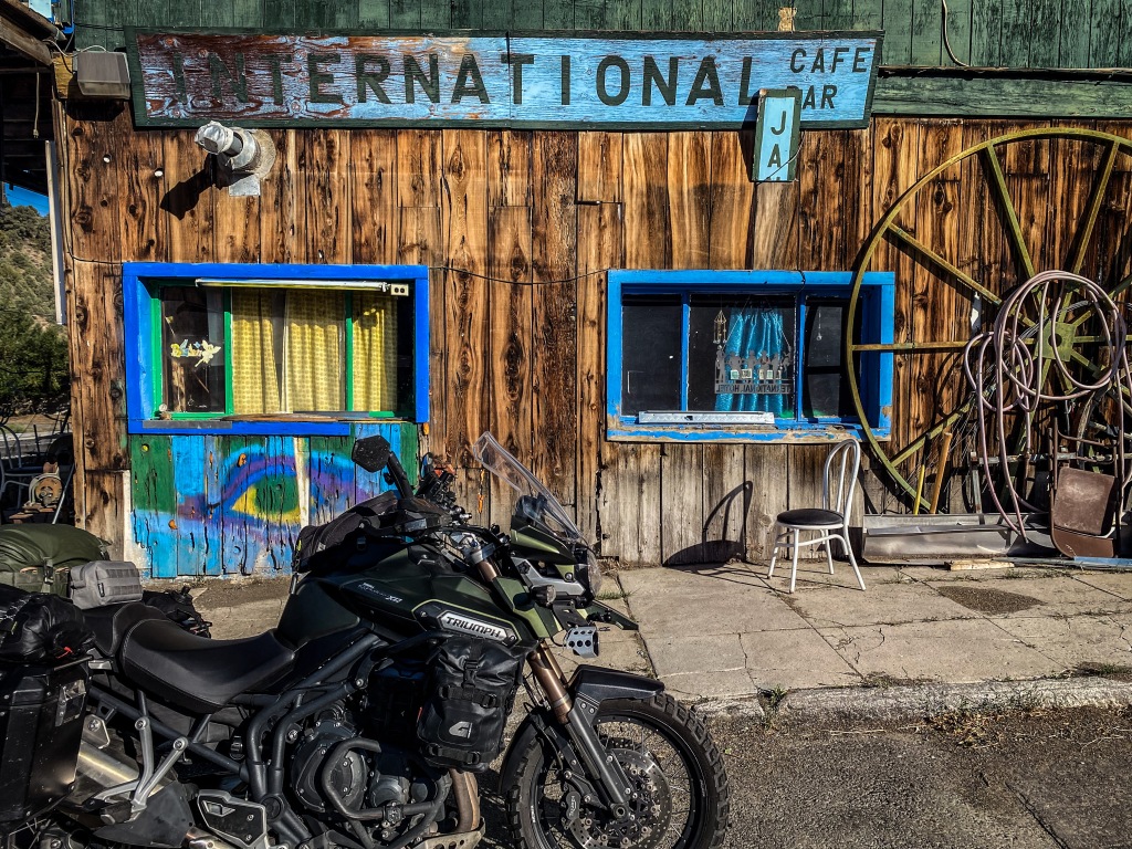
In the morning I made a cup of coffee and thought I might see what the great Town of Austin might deliver for breakfast. The only cafe open was up for sale, and I was its only patron. Talking with the proprietor I learned that COVID-19 had dealt Austin, if not all of Highway 50, a death blow which seemed, at least for her, unrecoverable. And as I ambled out of Austin I couldn’t help but feel she was right.
My inspection of the Tiger’s rear tire the night before revealed less tread than I had assumed. Odd for me because I’m usually a stickler when it comes to pre-trip inspections and maintenance, but getting home from the Pearls trip, I didn’t take a second look at the bike until Bob Scott. The Tiger had brand new tires and an oil change at the launch of the Great Divide Ride and the math mileage in my head lead to my gross assumption about its road-worthiness.
My reserved camp for that night was at the French Meadows Reservoir at the Lewis campground. I braved a bit of the heat going through Reno’s backside. That doesn’t sound right. My Nuvi routed me on I-80 out of Fernly for some reason, so I took the Veterans’ Parkway at the east end of Reno to get around the city, and hooked up on 580 which put be back on 50 before South Lake Tahoe. The temperature relented, regardless the summer rush to Tahoe’s shores, and I got to the Ice House Road by mid-afternoon, having no idea of the two-hour twisty ride that was between me and my campsite at Lewis.
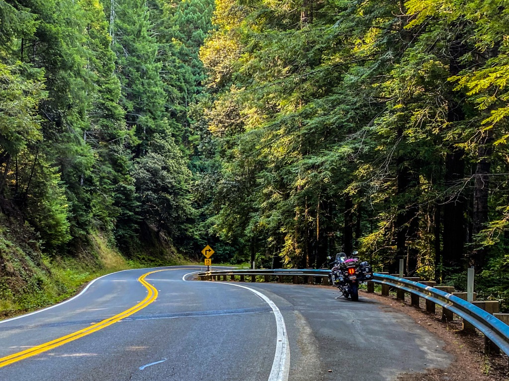
It was the ride of a lifetime for me, the best ribbon of black on which I had ever pushed the Tiger Explorer to its limits, dicey tire be damned, and then not long past the Union Valley Reservoir the road summits past Uncle Tom’s Cabin on to Eleven Pines Road that turned into an apocalyptic route of destruction art directed by a recent, huge wildfire. The road was buckled and blistered and outright gone in spots that could swallow me and my ride whole. Coming down off a long switchback of 1800 feet delivered me to the Ellicot Bridge on the Rubicon River.
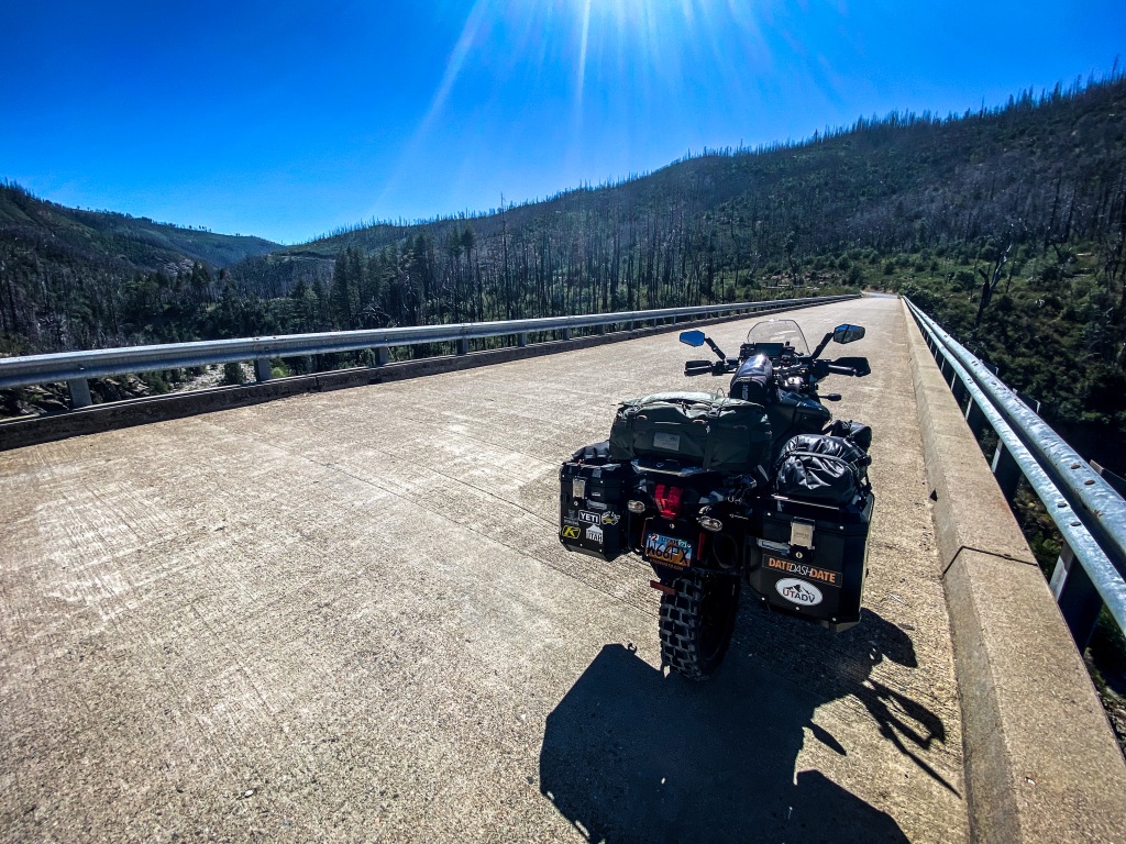
From that crossing the road gradually brought me out of the canyon to 4800 feet and crossed into the lush, untouched Eldorado National forest where, again, it beckoned my throttle hand to push through the slalom of new pavement that lead me to French Meadows, around the lake to Lewis.
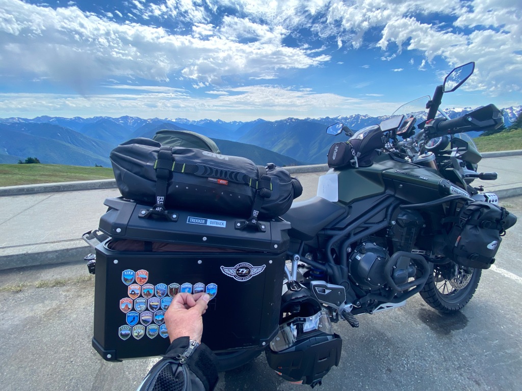
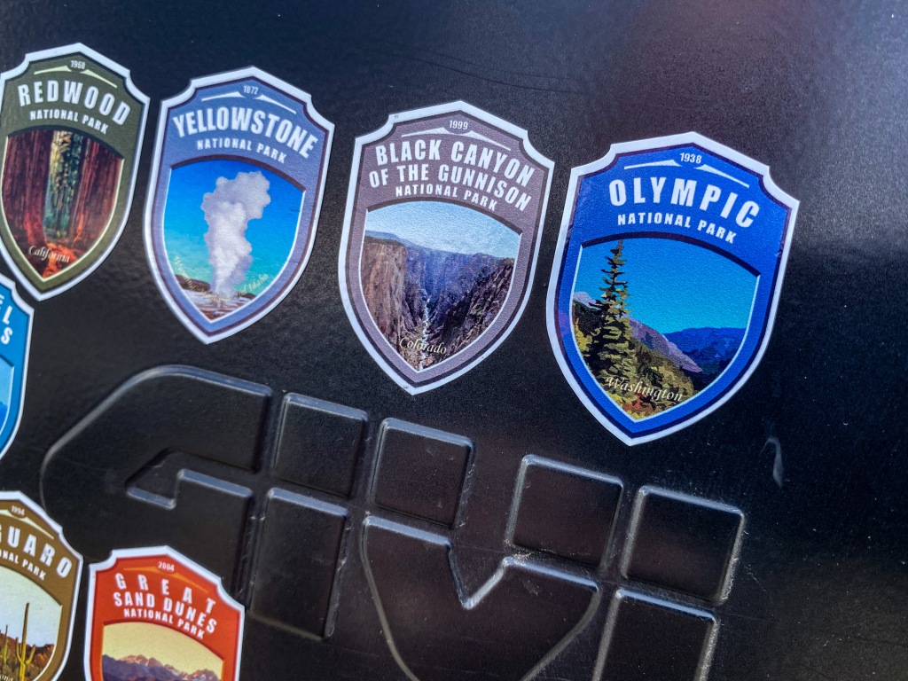
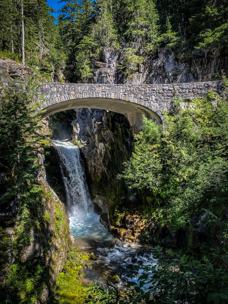
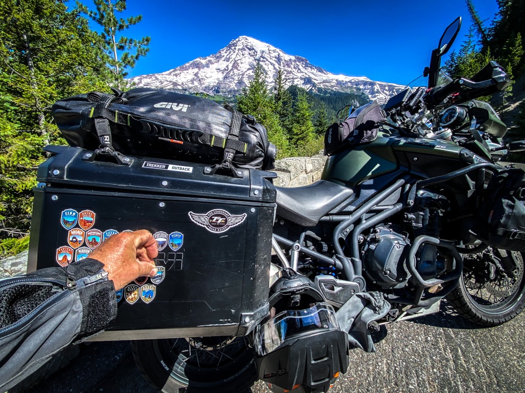
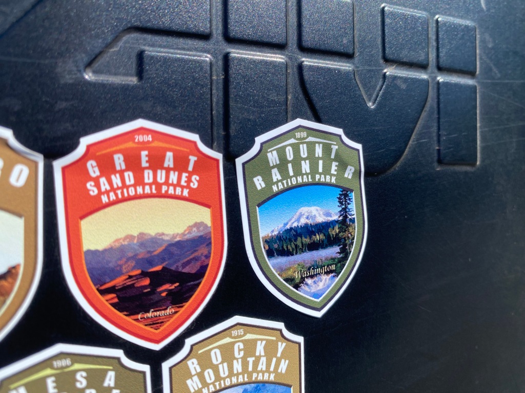
This journey confirmed for me a number of little revelations, not that I’ve been in denial, it’s just a seeing-is-believing kind of thing, one of the greatest perks of travel. I found something in the ground, in the trees, in the streams, rivers and lakes, and in the mountains and canyons of all the national parks I was fortunate enough to visit during my dashes—Zion, Bryce, Arches, Capitol Reef, Canyonlands, The Grand Canyon, Mesa Verde, Black Rock of the Gunnison, The Great Sand Dunes, Rocky Mountain, The Grand Teton, Yellowstone, The Redwoods, Olympic and Mount Rainier—and along the roads to each. I found America, again. I traveled with Americans on park roads and hiked with them on park trails and we all looked up in awe and down in wonder, and verbalized our saturated optic nerves in every language, in every color, in every iteration of human being. The land and water are the greatest equalizers.
Arriving at Lewis I found my campsite in perfect conditions, minus mosquitos, just far enough away from others yet close enough to plumbed facilities. This would be my new favorite camping spot.
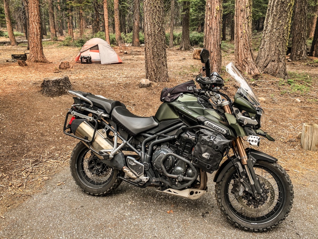
When I opened my eyes the next morning it felt much earlier than it actually was. I checked the time to see that sunlight should have been hitting the eastern side of my tent, but there were no highlights. Cloud cover wasn’t expected for the area, the Lake at French Meadow where I established my camp at Lewis the evening before.
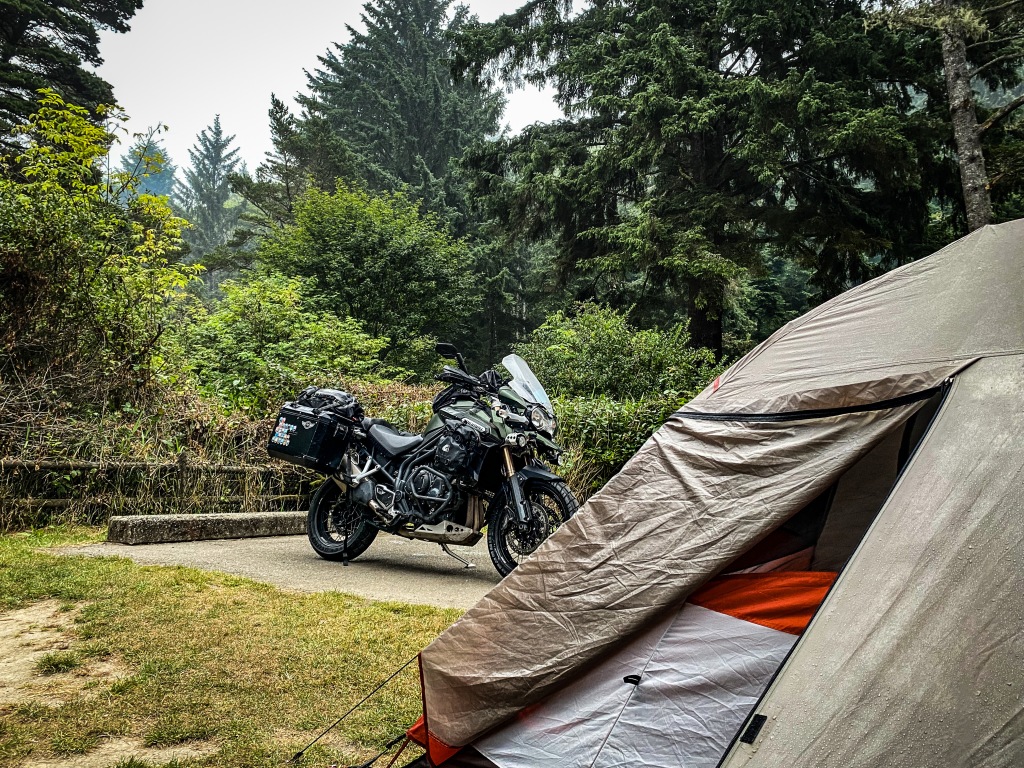
Unzipping my d-shaped tent door and then the fly revealed to me another reason I might consider hightailing it back; smoke infiltrated the trees, ash was falling, and the morning sun barely pressed through the atmosphere with an eerie orange glow. I put some pants on over my sleeping trousers, donned a pullover and my Keens and walked to the camp host to get some intel.
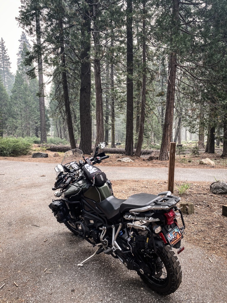
Other campers along the way were packing up and bugging out. I asked the host what she knew, her radio at the ready on her camp table. She indicated it was just smoke from a fire in [blank] and not to worry. If the fire reached [blank] they’d be sure to give enough time for a safe evacuation. I’ve seen the YouTube videos. There’s no such thing. And not being familiar with the area, I had no idea what she was talking about geographically. I knew there were two ways out of here, north and south, and I had come up the southern route from Highway 50, two-plus hours of twisties, one of the best roads I’ve been on riding a motorcycle, but was no choice for a hasty egress of the area.
The site to the south of me overflowed with a fifth-wheel trailer the size of a semi-truck trailer, and I thought if they bugged out, I could wrap up my campsite in a quarter the time and get out ahead of them. I could imagine how that vessel would clog any escape artery out of here. I cleared my breakfast wrapper, Mountain House scrambled eggs with bacon, and an empty propane can and took them to the bear-resistant garbage receiver when a State Park employee pulled into the campsite, up to the bins and hopped out of his official truck. “Hey, can you tell me-“ I began. He smiled, and said, “It’s smoke blown in from a fire in Yosemite,” he said, earbud in place from his attached radio. Two sources, both agreeing. I’ll stay for the day, see how it plays out. No big deal.
I filled my Kriega motorcycle hydration pack and set off, poor air quality being the only breathable air, to explore what I came to discover as a naked and disturbing indication of the time in which we live. I followed the road from the Lewis Campground along what used to be the shoreline of the French Meadow Lake. I was on the river-feed end of the body of water, flanked by thick pines offering a shuttered view of the lakebed.
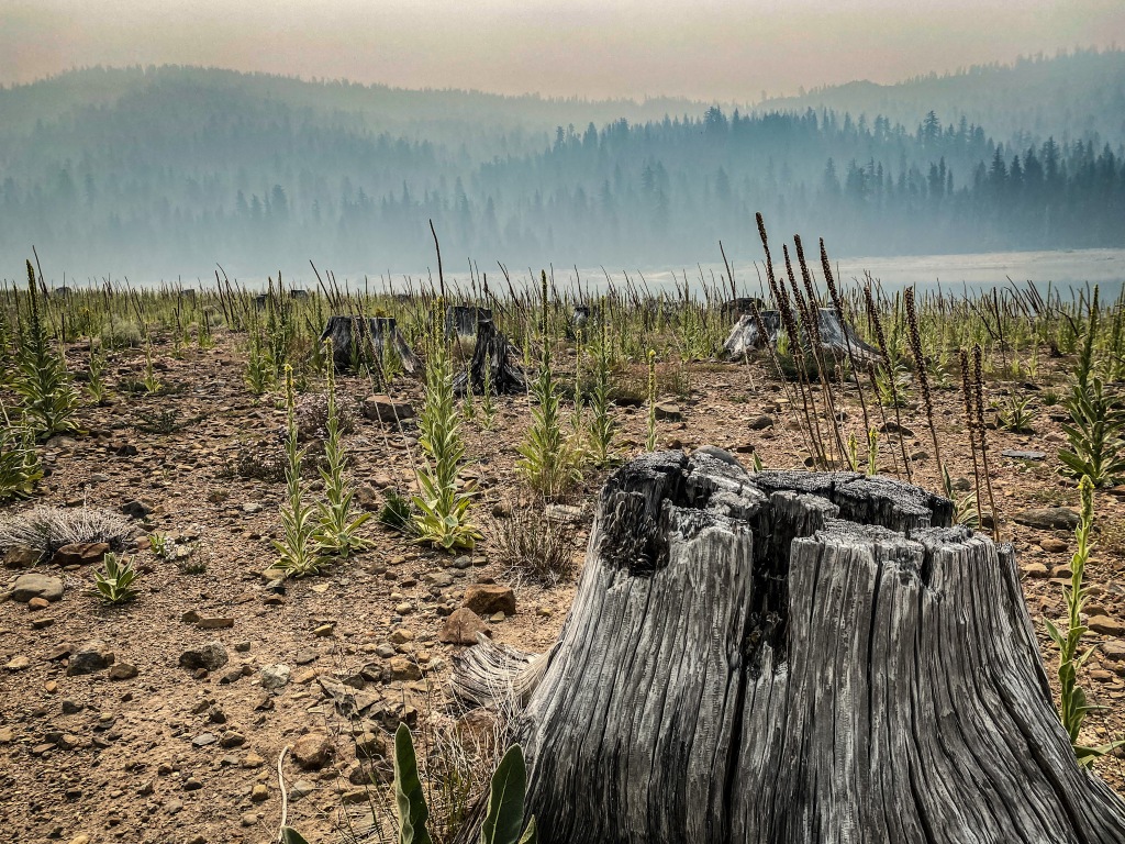
I turned into a day-use area that hadn’t been used for seasons and then made my way down to the receding shoreline. Yosemite’s second-hand smoke was at its thickest, settling into the horizontal mirror of the water’s surface, the air so still its pressure evaporated. This was a man-made lake, dammed and seemingly damned. The low water level revealed the gigantic stumps of redwoods that were cleared from the basin to prohibit a prop busting or a tangled lure.
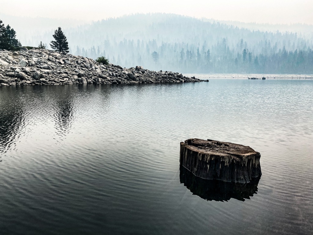
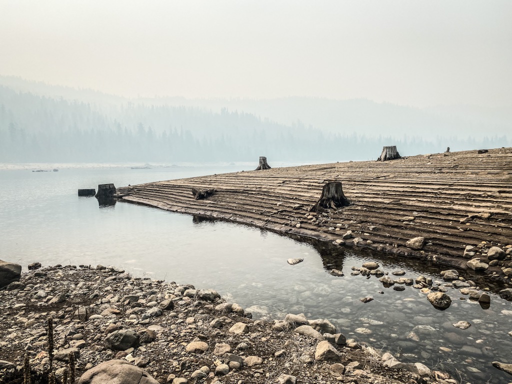
This valley’s stubble was refusing to be hidden anymore. With the smoke on the water, moving down through the trees on the hillsides, I saw the future of climate change. I saw the current of climate change. I spent most of the morning photographing it. I walked the lake’s edge north to rock outcroppings and stepped shorelines showing the water’s receding levels like rings of a tree trunk, but in reverse.
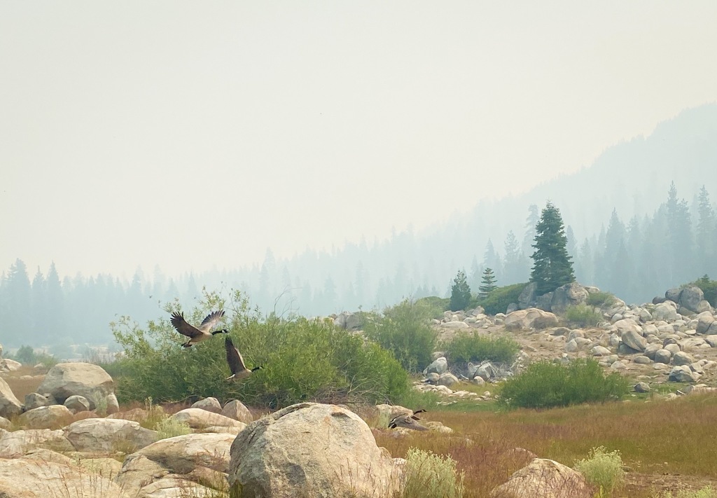
I’ve been awed innumerable times by ocean coves and great canyons, waterfalls and desert dunes, mountains that bite at the sky and incredible rivers, but this was the first time I was truly shamed by nature. And in her seeming notion to assuage me, as I walked over a stone ridge to the lake’s feed, I found a lush, green meadow and startled two large mallards that took flight that I captured in a shutter release, showing me, once again, that life goes on.
No, the whispers had more to do with being able to actually finish something I started and the other a longing to travel solo. I wanted to go wander by myself and I had fallen in love with the Pacific Northwest in previous adventures, so on July 22, I left Bountiful before sunrise and found my way to Highway 50.

Highway 50 is called the loneliest road in America, and while pre-coronavirus traverses might attest to the route’s friendly folks despite its remoteness and interstate displacement, it has certainly sunk to the lonely standard post-pandemic (if I can even say that) of being a road of ghost towns.
Day One was planned to be easy, with an early arrival at my predetermined camp spot, the Bob Scott Campground, where I was surprised by a pristine Forest Service campground with all the amenities a motorcycle camper could want, plus peace and quiet. I was tired, as I had expected to be from the toll of the recent chemo infusion, and a sunny afternoon nap was a luxury for me on a motorcycle tour. I pitched my tent, made some dinner, worked on the Tiger and had an exceptional night’s sleep.

In the morning I made a cup of coffee and thought I might see what the great Town of Austin might deliver for breakfast. The only cafe open was up for sale, and I was its only patron. Talking with the proprietor I learned that COVID-19 had dealt Austin, if not all of Highway 50, a death blow which seemed, at least for her, unrecoverable. And as I ambled out of Austin I couldn’t help but feel she was right.

My inspection of the Tiger’s rear tire the night before revealed less tread than I had assumed. Odd for me because I’m usually a stickler when it comes to pre-trip inspections and maintenance, but getting home from the Pearls trip, I didn’t take a second look at the bike until Bob Scott. The Tiger had brand new tires and an oil change at the launch of the Great Divide Ride and the math mileage in my head lead to my gross assumption about its road-worthiness.
My reserved camp for that night was at the French Meadows Reservoir at the Lewis campground. I braved a bit of the heat going through Reno’s backside. That doesn’t sound right. My Nuvi routed me on I-80 out of Fernly for some reason, so I took the Veterans’ Parkway at the east end of Reno to get around the city, and hooked up on 580 which put be back on 50 before South Lake Tahoe. The temperature relented, regardless the summer rush to Tahoe’s shores, and I got to the Ice House Road by mid-afternoon, having no idea of the two-hour twisty ride that was between me and my campsite at Lewis.
It was the ride of a lifetime for me, the best ribbon of black on which I had ever pushed the Tiger Explorer to its limits, dicey tire be damned, and then not long past the Union Valley Reservoir the road summits past Uncle Tom’s Cabin on to Eleven Pines Road that turned into an apocalyptic route of destruction art directed by a recent, huge wildfire. The road was buckled and blistered and outright gone in spots that could swallow me and my ride whole. Coming down off a long switchback of 1800 feet delivered me to the Ellicot Bridge on the Rubicon River.

From that crossing the road gradually brought me out of the canyon to 4800 feet and crossed into the lush, untouched Eldorado National forest where, again, it beckoned my throttle hand to push through the slalom of new pavement that lead me to French Meadows, around the lake to Lewis.
This journey confirmed for me a number of little revelations, not that I’ve been in denial, it’s just a seeing-is-believing kind of thing, one of the greatest perks of travel. I found something in the ground, in the trees, in the streams, rivers and lakes, and in the mountains and canyons of all the national parks I was fortunate enough to visit during my dashes—Zion, Bryce, Arches, Capitol Reef, Canyonlands, The Grand Canyon, Mesa Verde, Black Rock of the Gunnison, The Great Sand Dunes, Rocky Mountain, The Grand Teton, Yellowstone, The Redwoods, Olympic and Mount Rainier—and along the roads to each. I found America, again. I traveled with Americans on park roads and hiked with them on park trails and we all looked up in awe and down in wonder, and verbalized our saturated optic nerves in every language, in every color, in every iteration of human being. The land and water are the greatest equalizers.
Arriving at Lewis I found my campsite in perfect conditions, minus mosquitos, just far enough away from others yet close enough to plumbed facilities. This would be my new favorite camping spot.

When I opened my eyes the next morning it felt much earlier than it actually was. I checked the time to see that sunlight should have been hitting the eastern side of my tent, but there were no highlights. Cloud cover wasn’t expected for the area, the Lake at French Meadow where I established my camp at Lewis the evening before.
Unzipping my d-shaped tent door and then the fly revealed to me another reason I might consider hightailing it back; smoke infiltrated the trees, ash was falling, and the morning sun barely pressed through the atmosphere with an eerie orange glow. I put some pants on over my sleeping trousers, donned a pullover and my Keens and walked to the camp host to get some intel.

Other campers along the way were packing up and bugging out. I asked the host what she knew, her radio at the ready on her camp table. She indicated it was just smoke from a fire in [blank] and not to worry. If the fire reached [blank] they’d be sure to give enough time for a safe evacuation. I’ve seen the YouTube videos. There’s no such thing. And not being familiar with the area, I had no idea what she was talking about geographically. I knew there were two ways out of here, north and south, and I had come up the southern route from Highway 50, two-plus hours of twisties, one of the best roads I’ve been on riding a motorcycle, but was no choice for a hasty egress of the area.
The site to the south of me overflowed with a fifth-wheel trailer the size of a semi-truck trailer, and I thought if they bugged out, I could wrap up my campsite in a quarter the time and get out ahead of them. I could imagine how that vessel would clog any escape artery out of here. I cleared my breakfast wrapper, Mountain House scrambled eggs with bacon, and an empty propane can and took them to the bear-resistant garbage receiver when a State Park employee pulled into the campsite, up to the bins and hopped out of his official truck. “Hey, can you tell me-“ I began. He smiled, and said, “It’s smoke blown in from a fire in Yosemite,” he said, earbud in place from his attached radio. Two sources, both agreeing. I’ll stay for the day, see how it plays out. No big deal.
I filled my Kriega motorcycle hydration pack and set off, poor air quality being the only breathable air, to explore what I came to discover as a naked and disturbing indication of the time in which we live. I followed the road from the Lewis Campground along what used to be the shoreline of the French Meadow Lake. I was on the river-feed end of the body of water, flanked by thick pines offering a shuttered view of the lakebed.

I turned into a day-use area that hadn’t been used for seasons and then made my way down to the receding shoreline. Yosemite’s second-hand smoke was at its thickest, settling into the horizontal mirror of the water’s surface, the air so still its pressure evaporated. This was a man-made lake, dammed and seemingly damned. The low water level revealed the gigantic stumps of redwoods that were cleared from the basin to prohibit a prop busting or a tangled lure.

This valley’s stubble was refusing to be hidden anymore. With the smoke on the water, moving down through the trees on the hillsides, I saw the future of climate change. I saw the current of climate change. I spent most of the morning photographing it. I walked the lake’s edge north to rock outcroppings and stepped shorelines showing the water’s receding levels like rings of a tree trunk, but in reverse.

I’ve been awed innumerable times by ocean coves and great canyons, waterfalls and desert dunes, mountains that bite at the sky and incredible rivers, but this was the first time I was truly shamed by nature. And in her seeming notion to assuage me, as I walked over a stone ridge to the lake’s feed, I found a lush, green meadow and startled two large mallards that took flight that I captured in a shutter release, showing me, once again, that life goes on.


