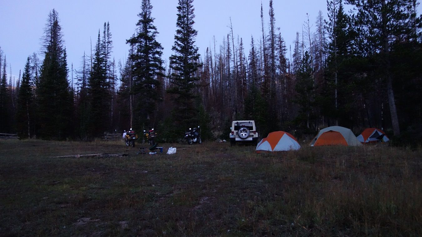
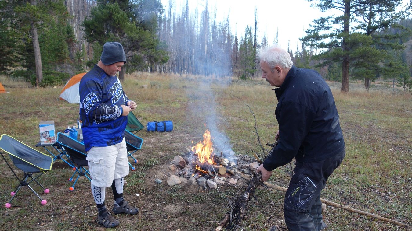
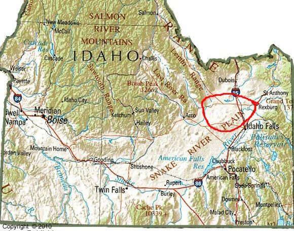
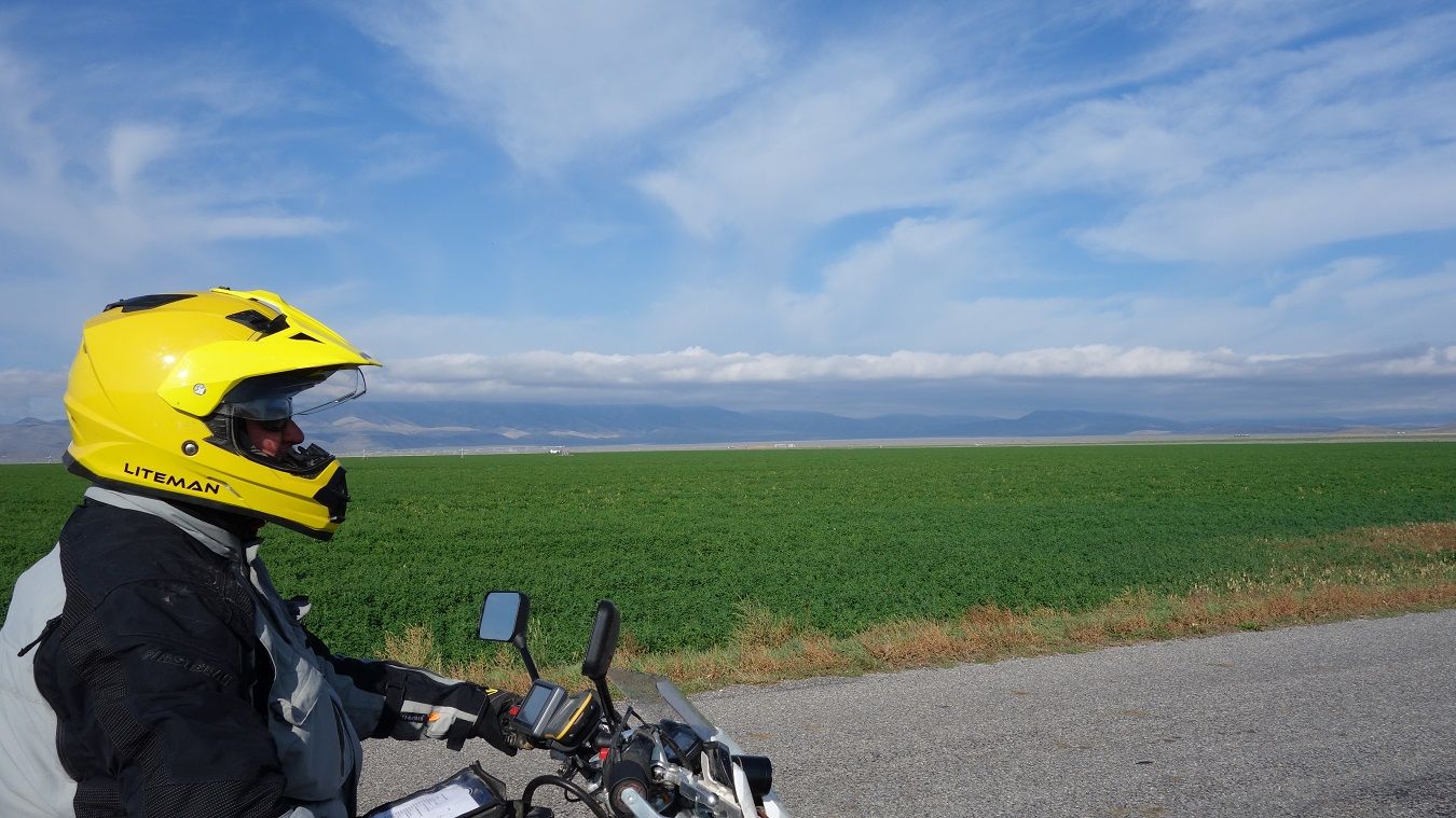
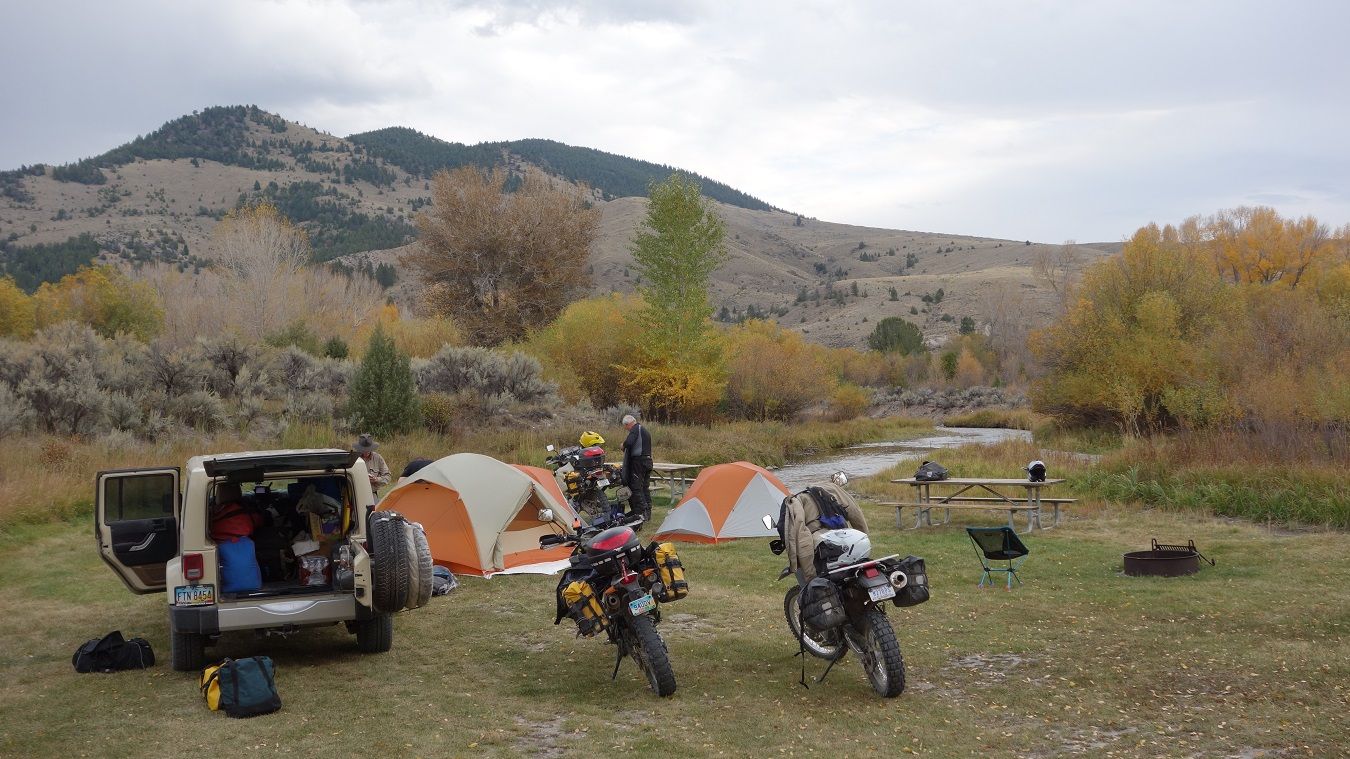
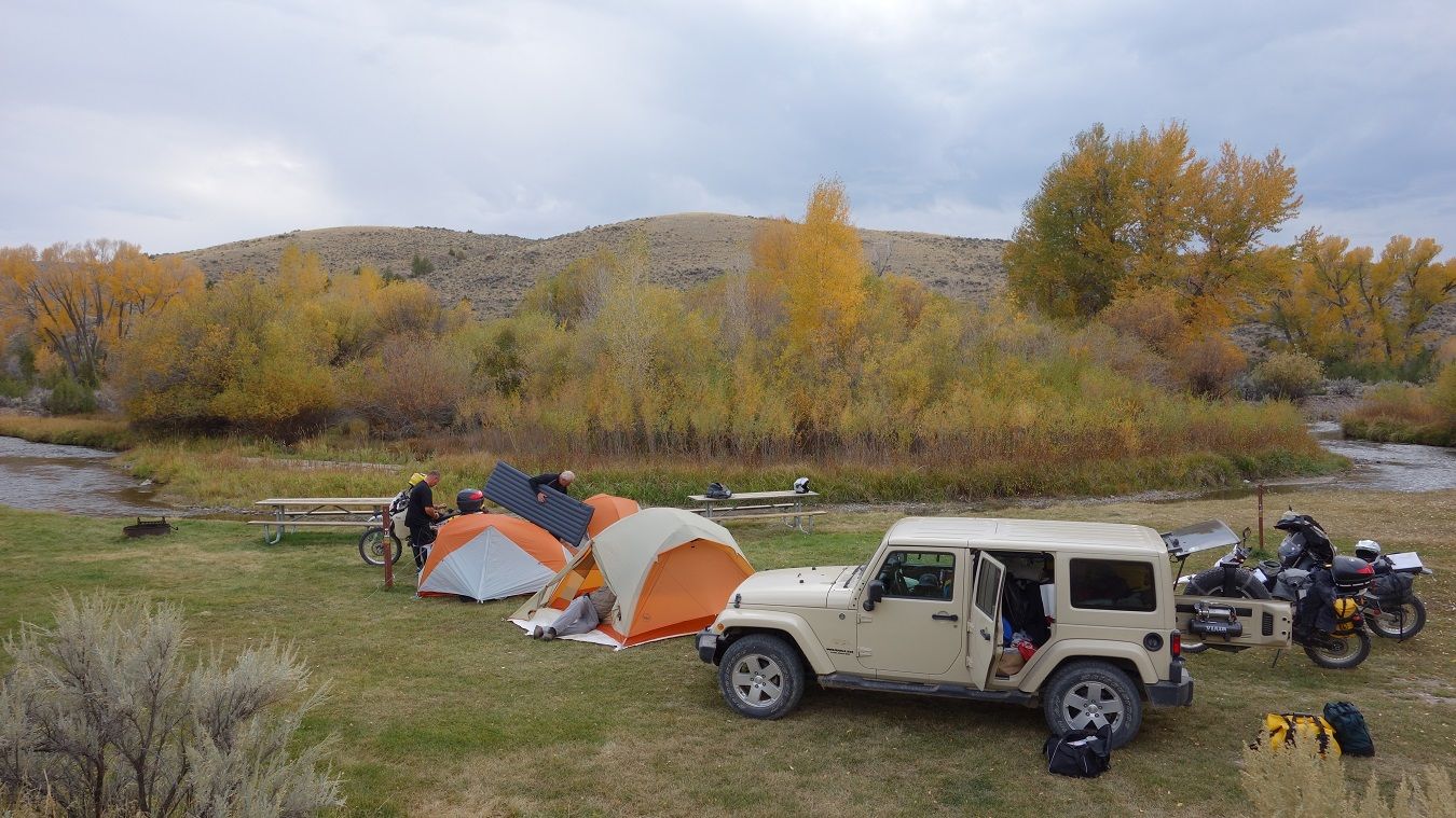
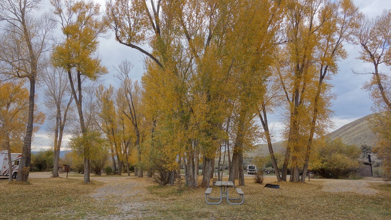
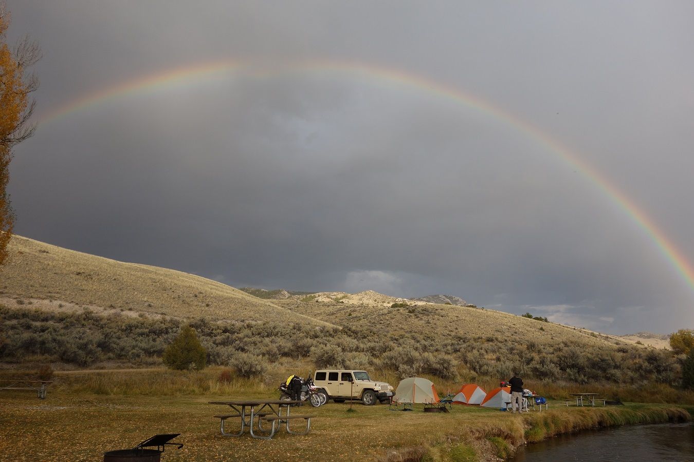
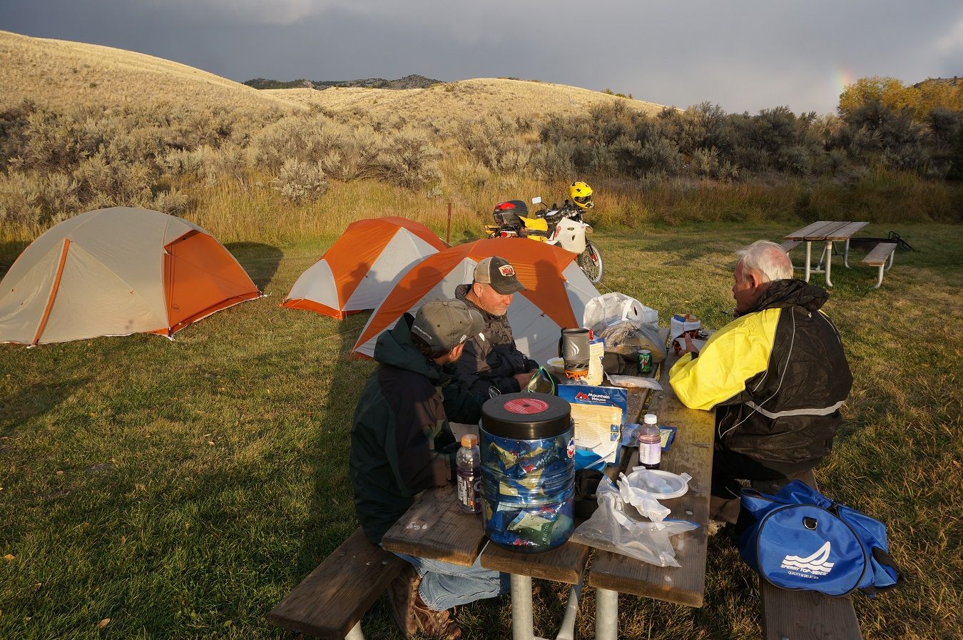
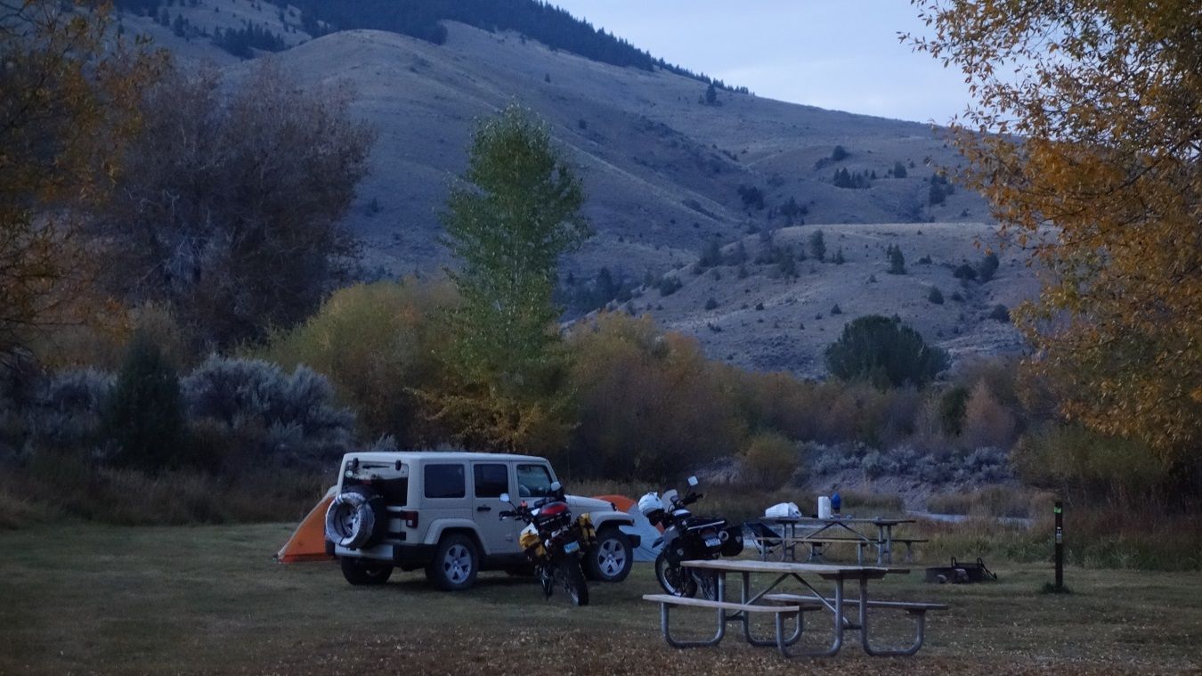
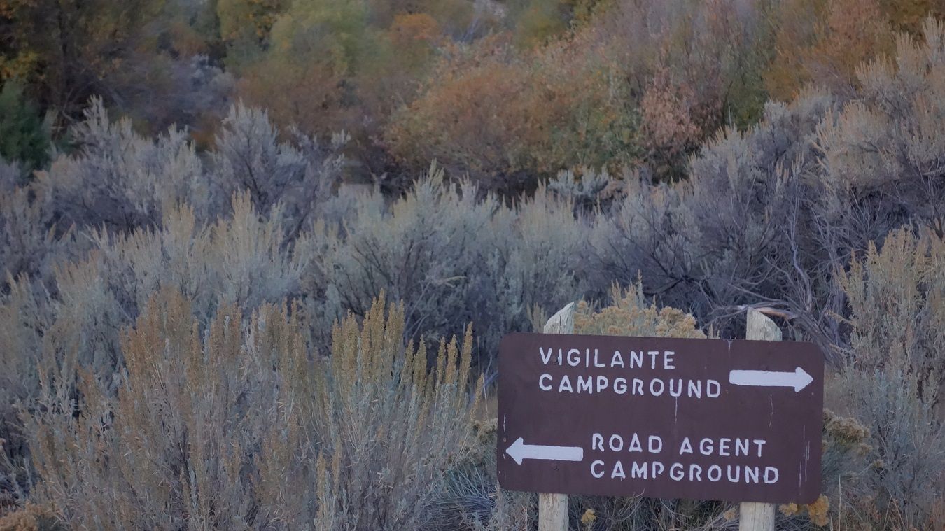
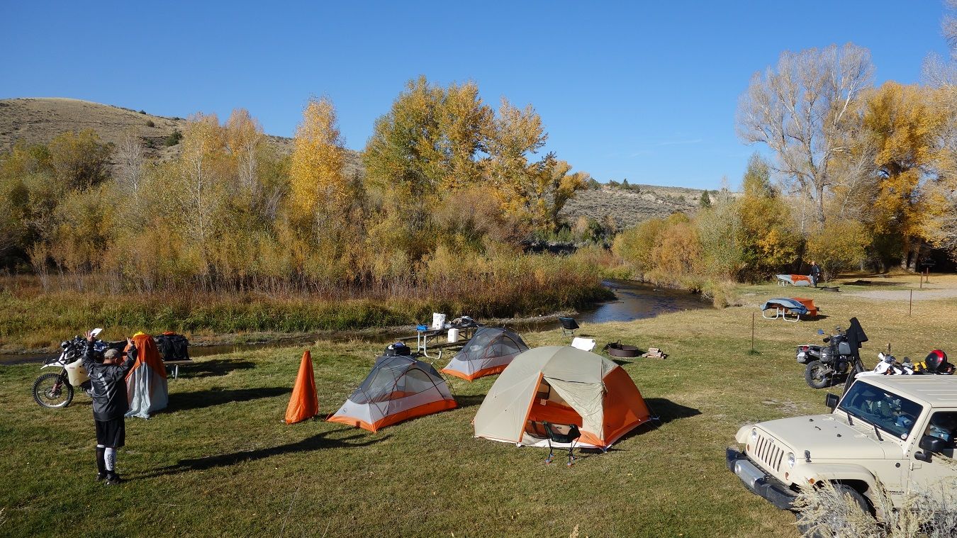
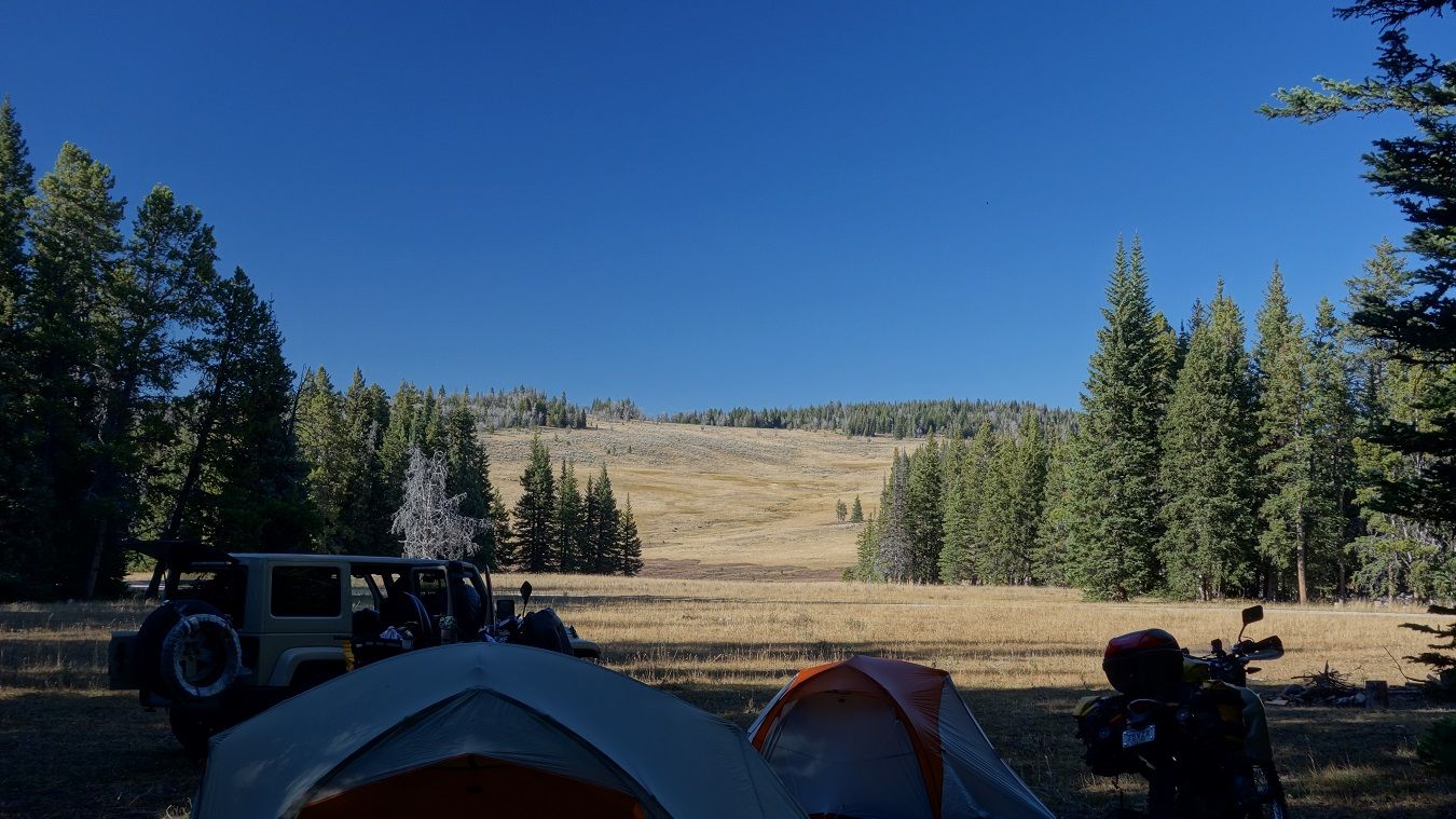
Tues Sept 23 - Day Ten - Idaho Falls to Bannack Campground - 170 (190) miles
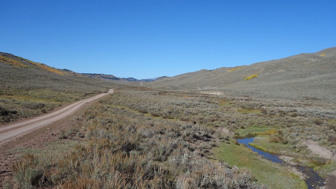
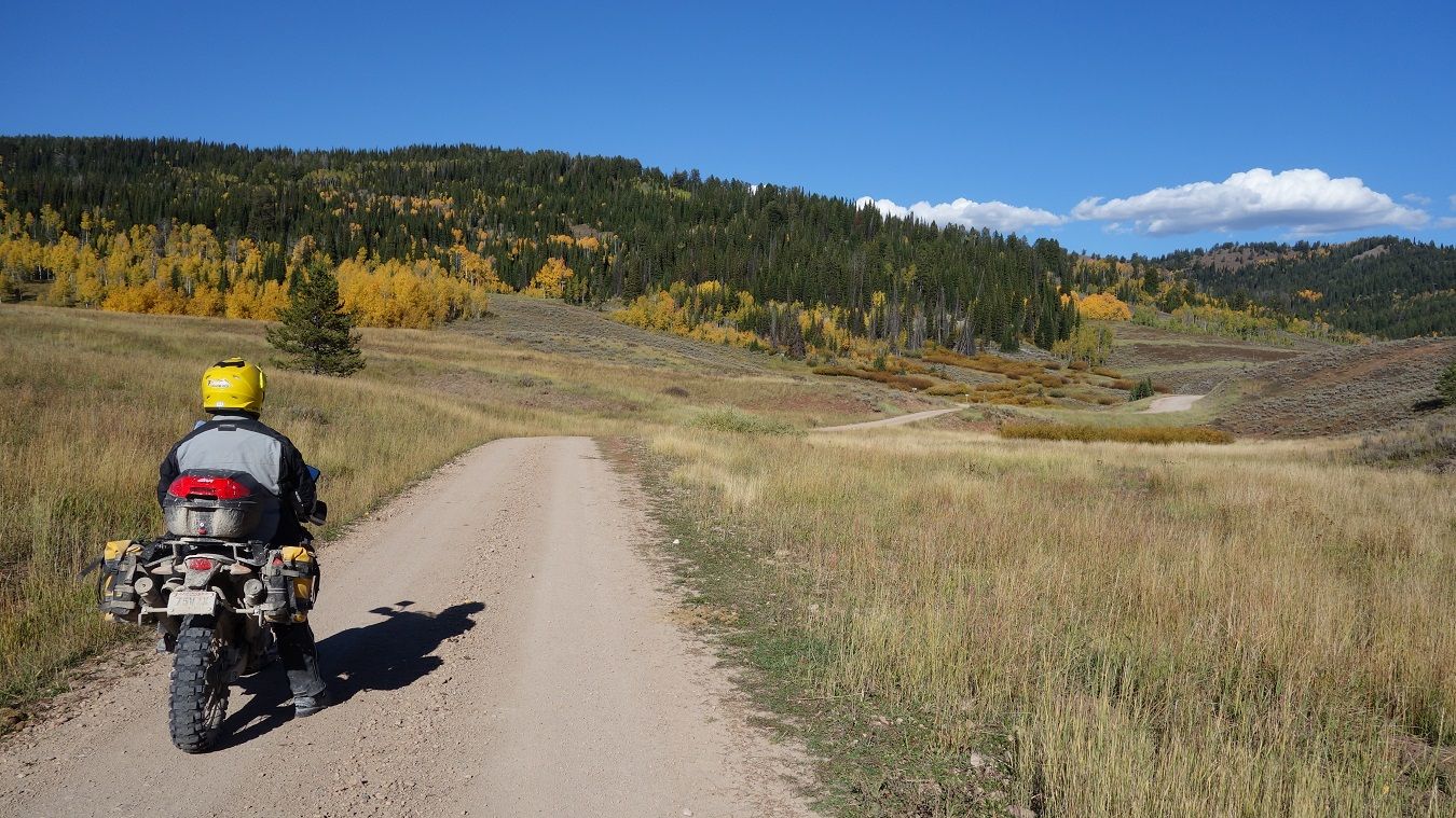
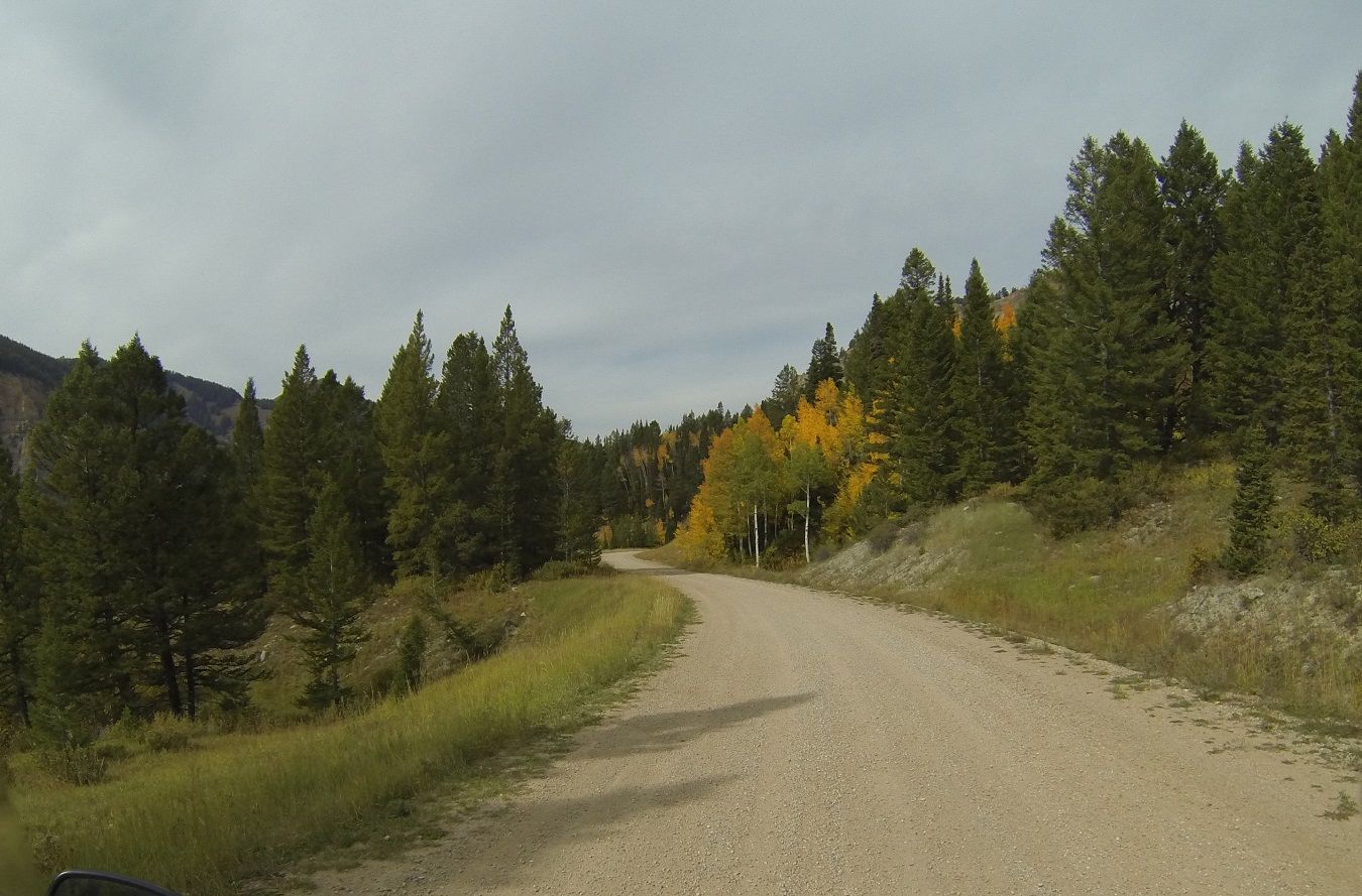
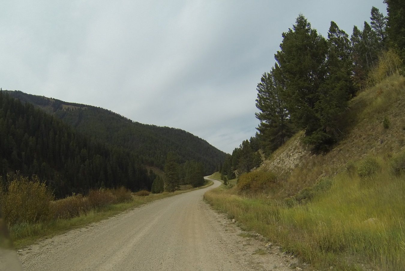
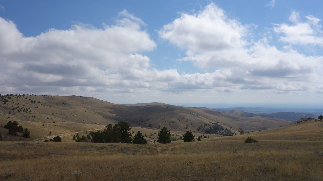
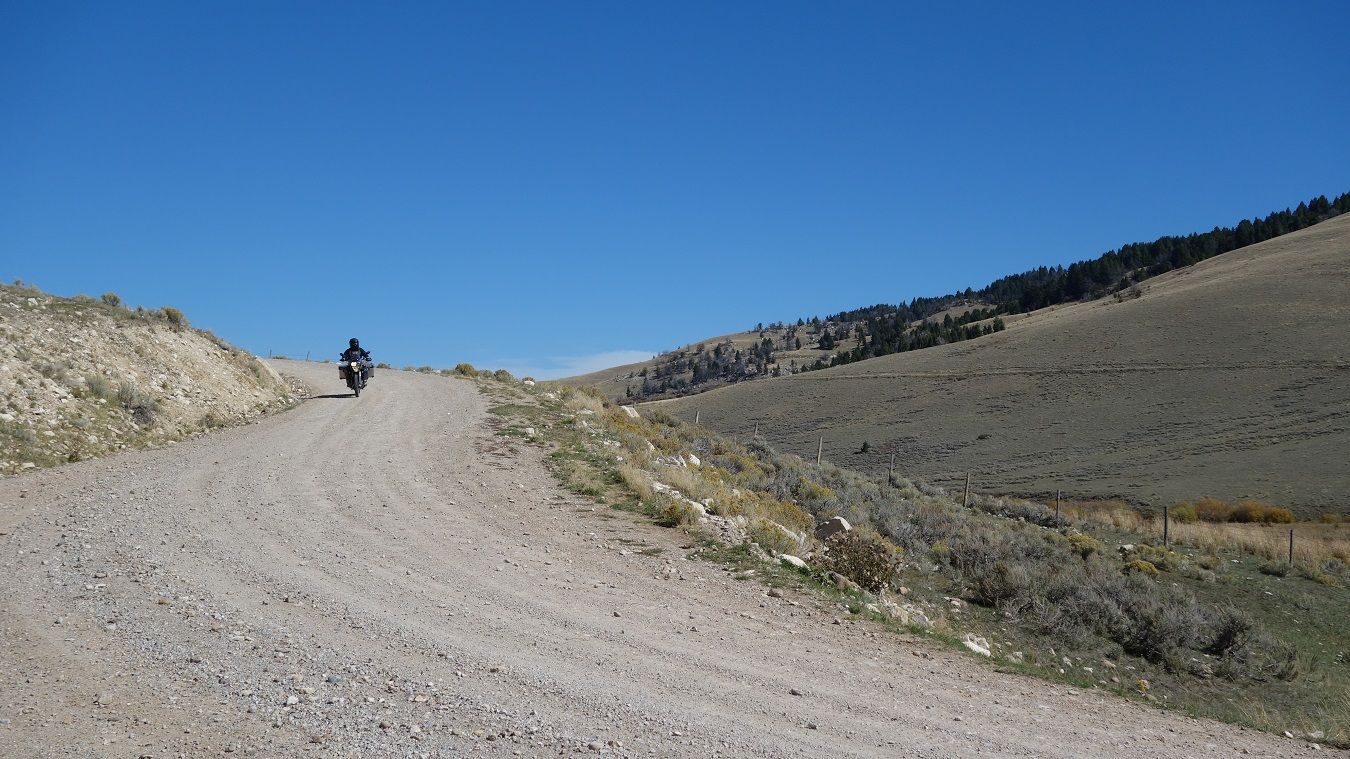
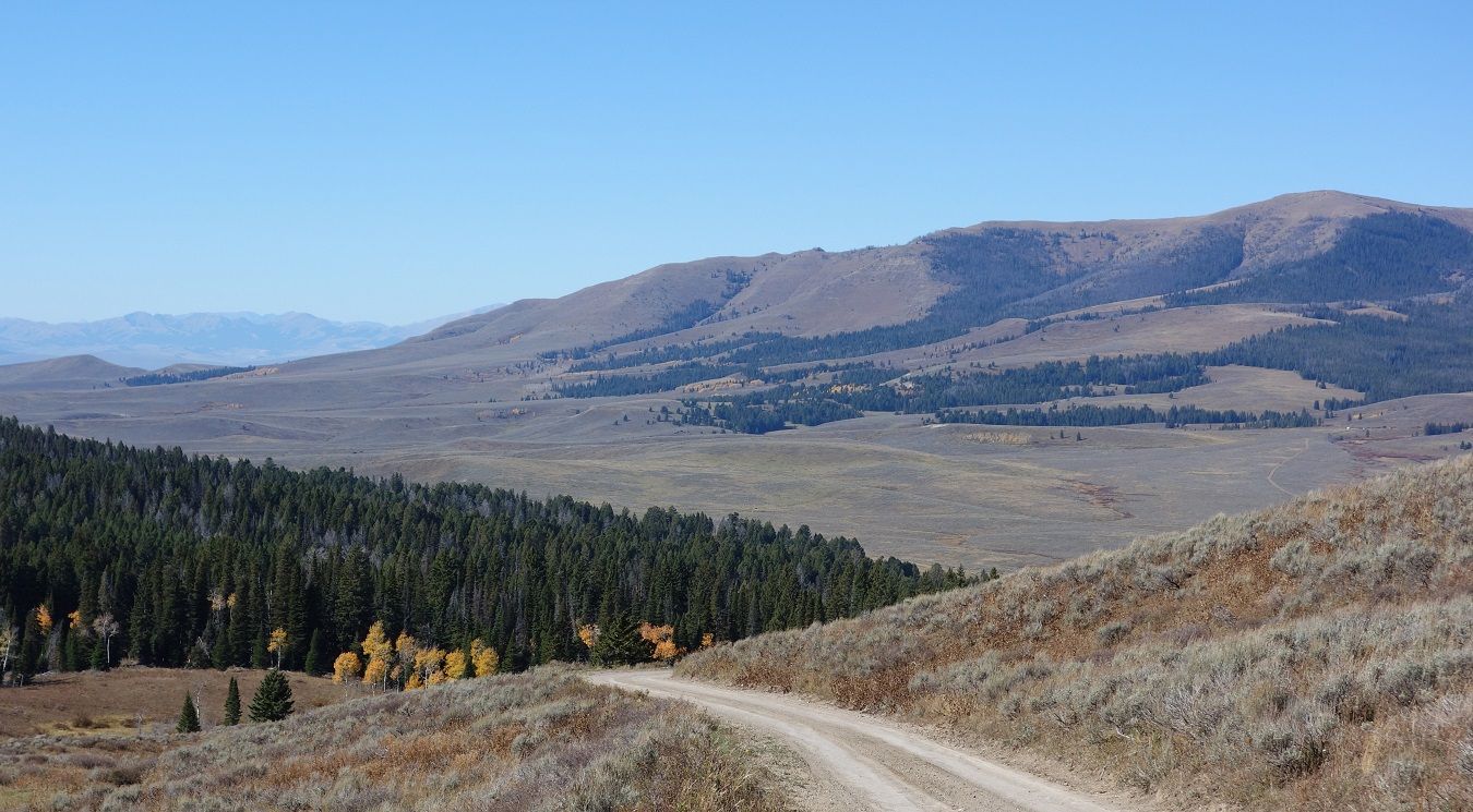
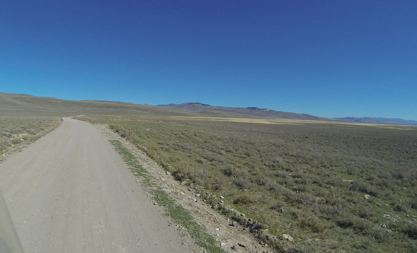
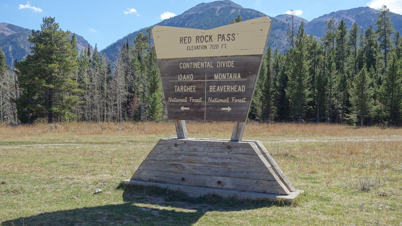
One of my favorite days of the trip, the route today takes us across the agricultural Snake River Plain, then gets very remote as you cross the Continental Divide and Bitterroot Mountains into Montana.
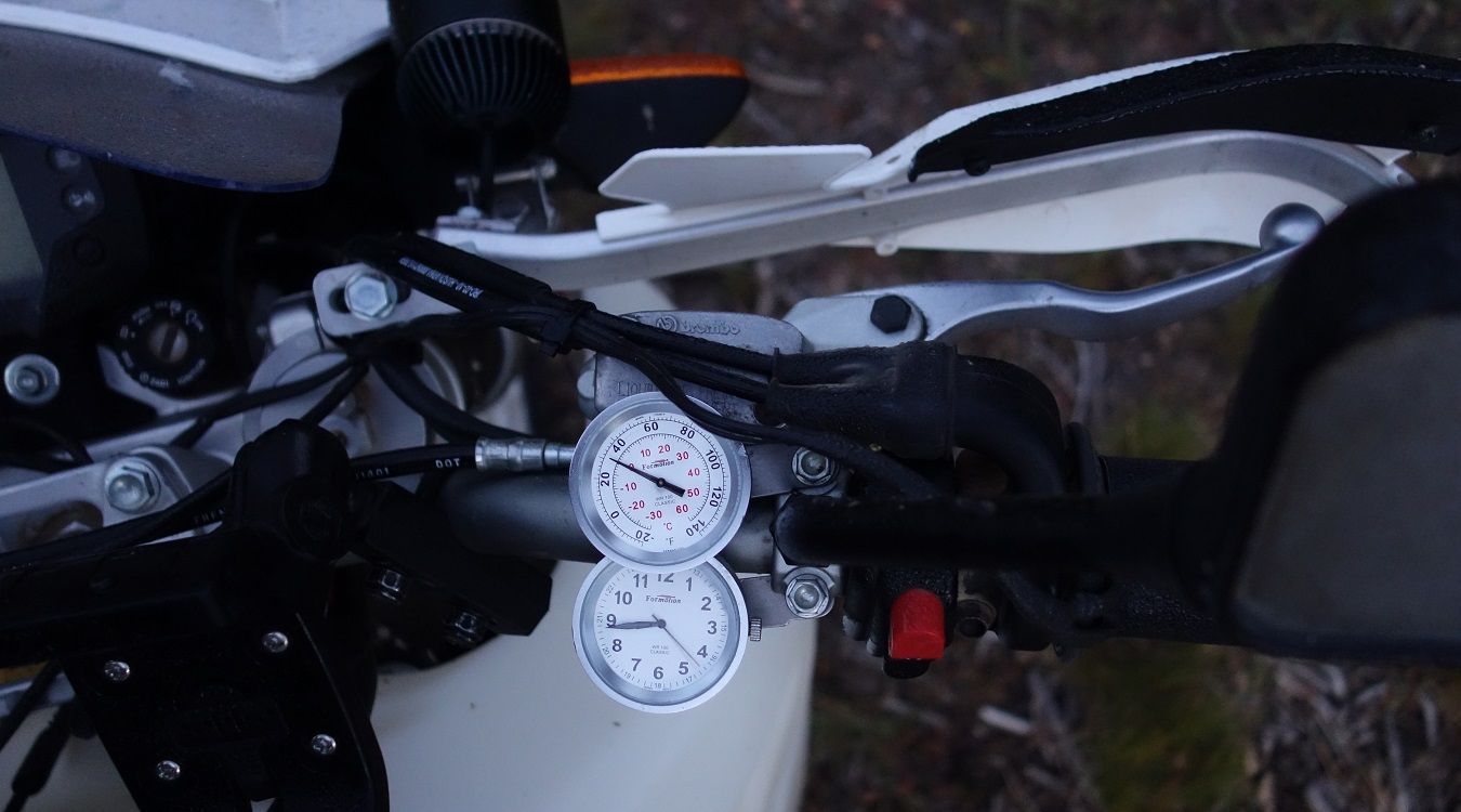
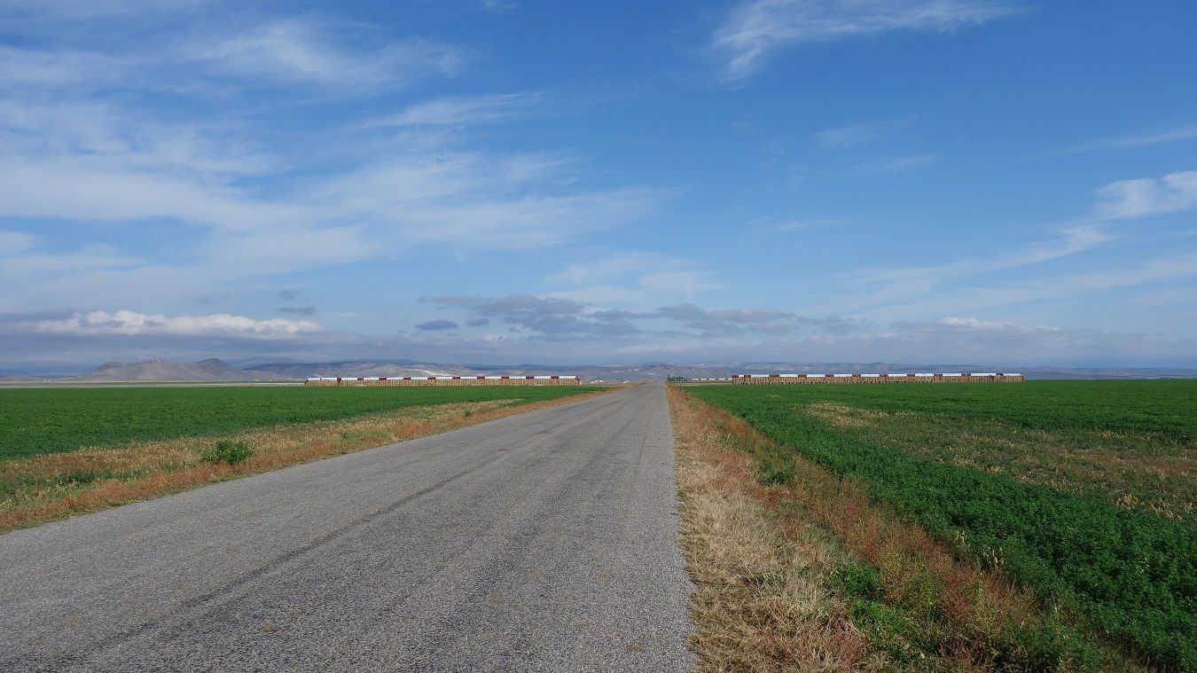
Things started off chilly but sunny, about 15 miles out of town that changed a bit. Apparently there is a geographic bowl in the Snake River Plain, and today it was full of icy fog.
For about 30 miles, we rode gravel roads in fog so dense you could barely see the bike in front or behind you. Semis hauling potatoes and occasional ruts in the road kept it interesting too. With glasses and visors fogging up, the squeegee built into my gloves really came in handy, great invention that. We stopped to gas up after 30 minutes of this and they said fog is pretty much a daily occurrence until ~10am.
A few miles later we climbed out of the bowl and the sun reappeared.
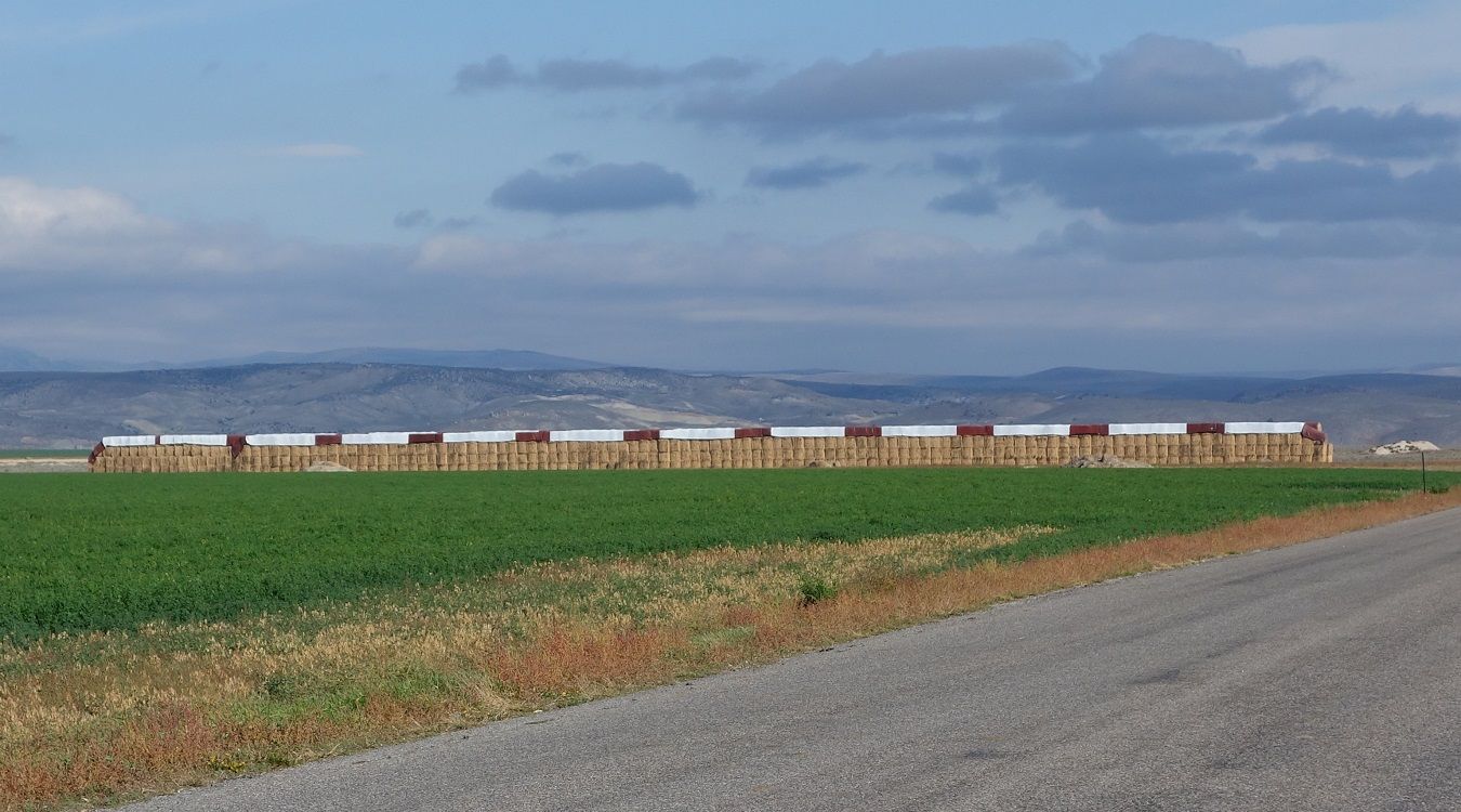
That is a bunch of alfalfa hay! Thousands of tons.
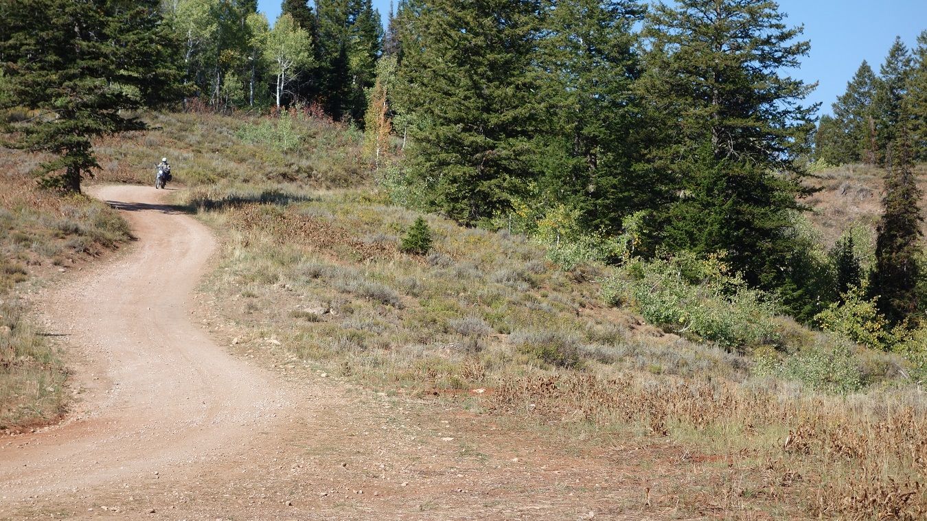
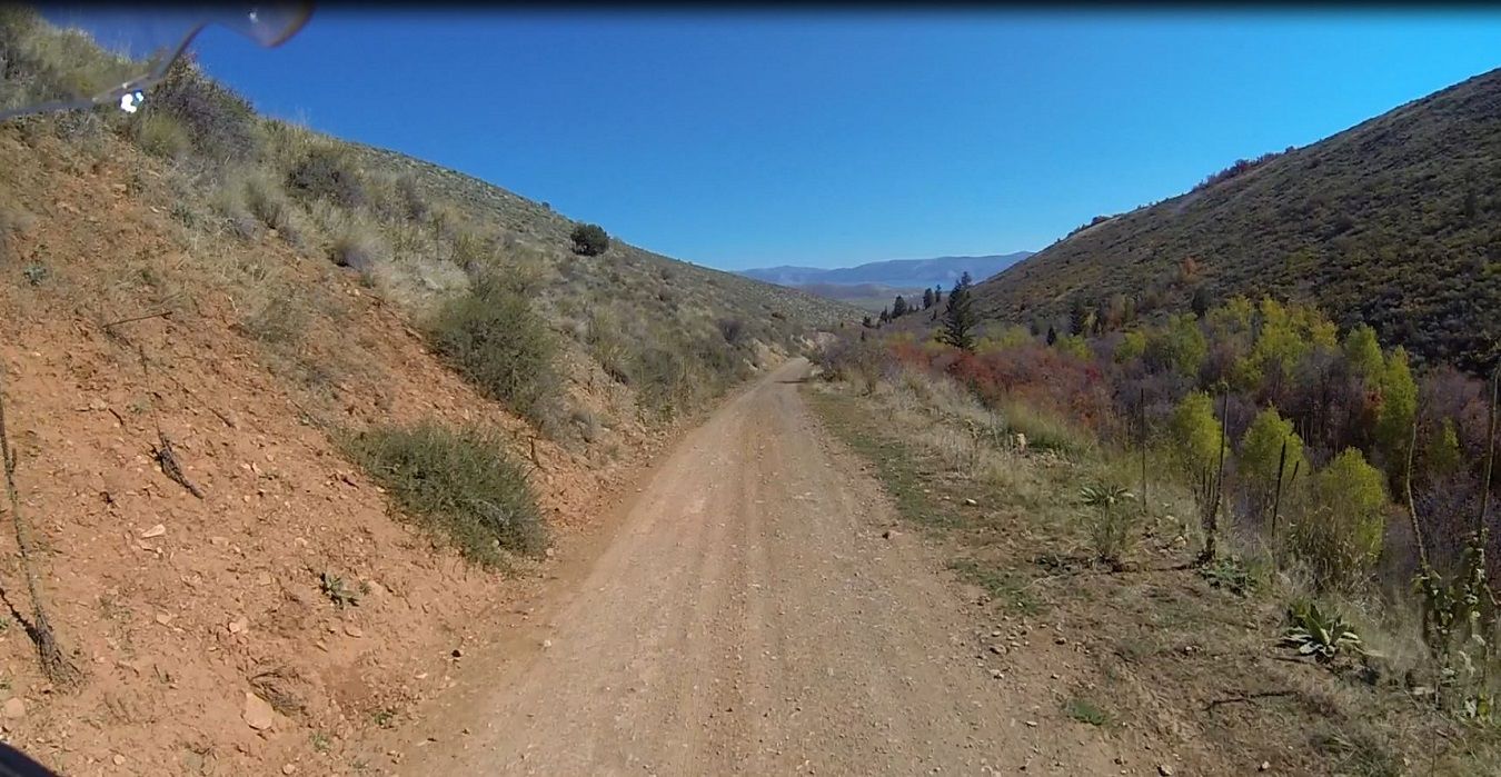
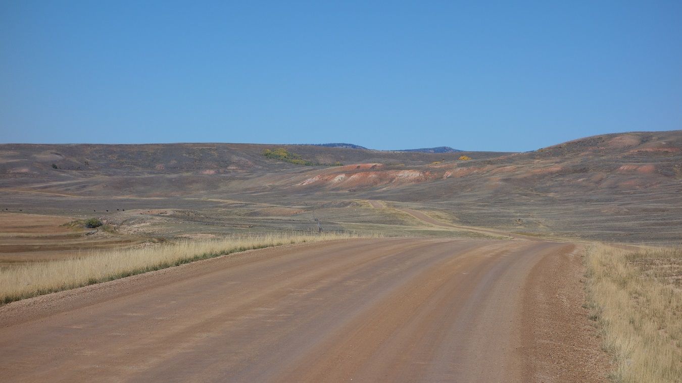
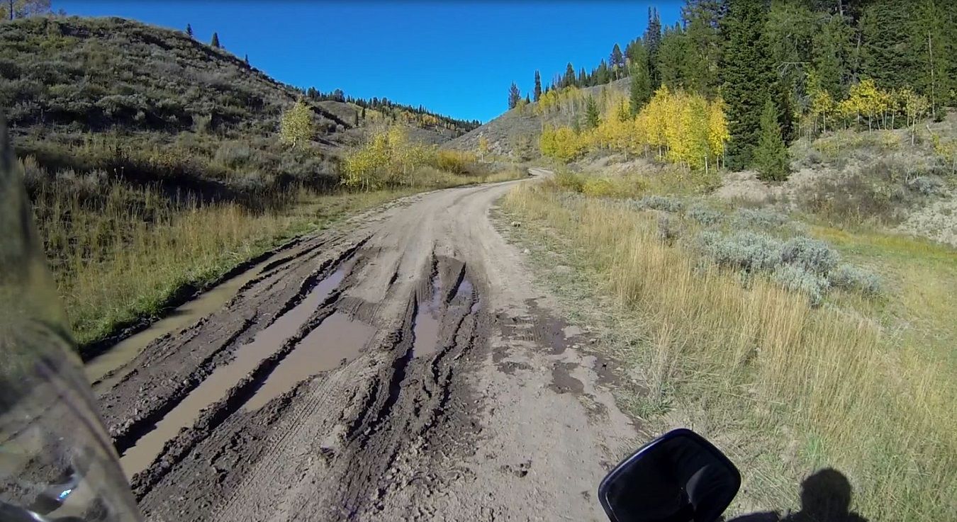
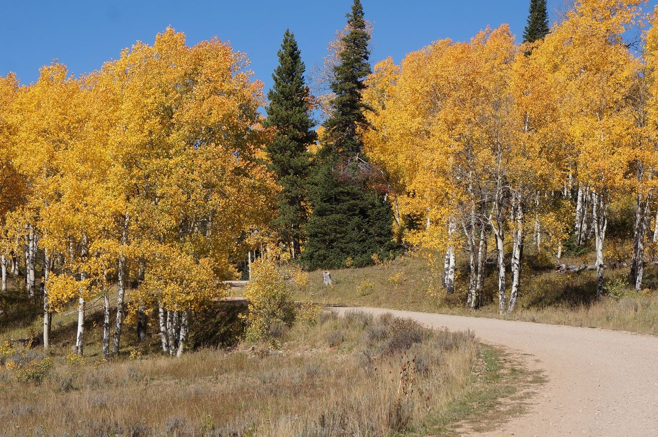
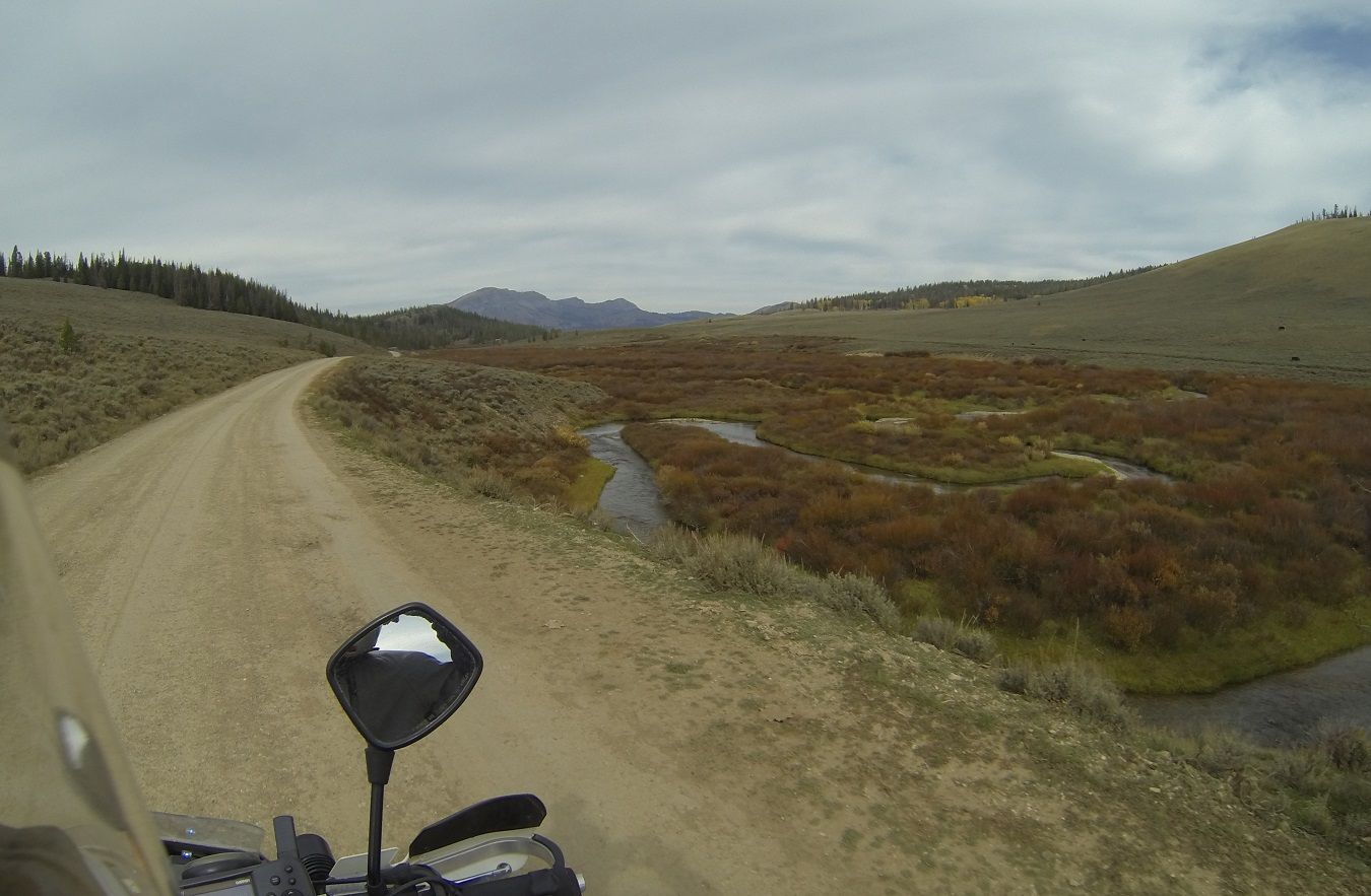
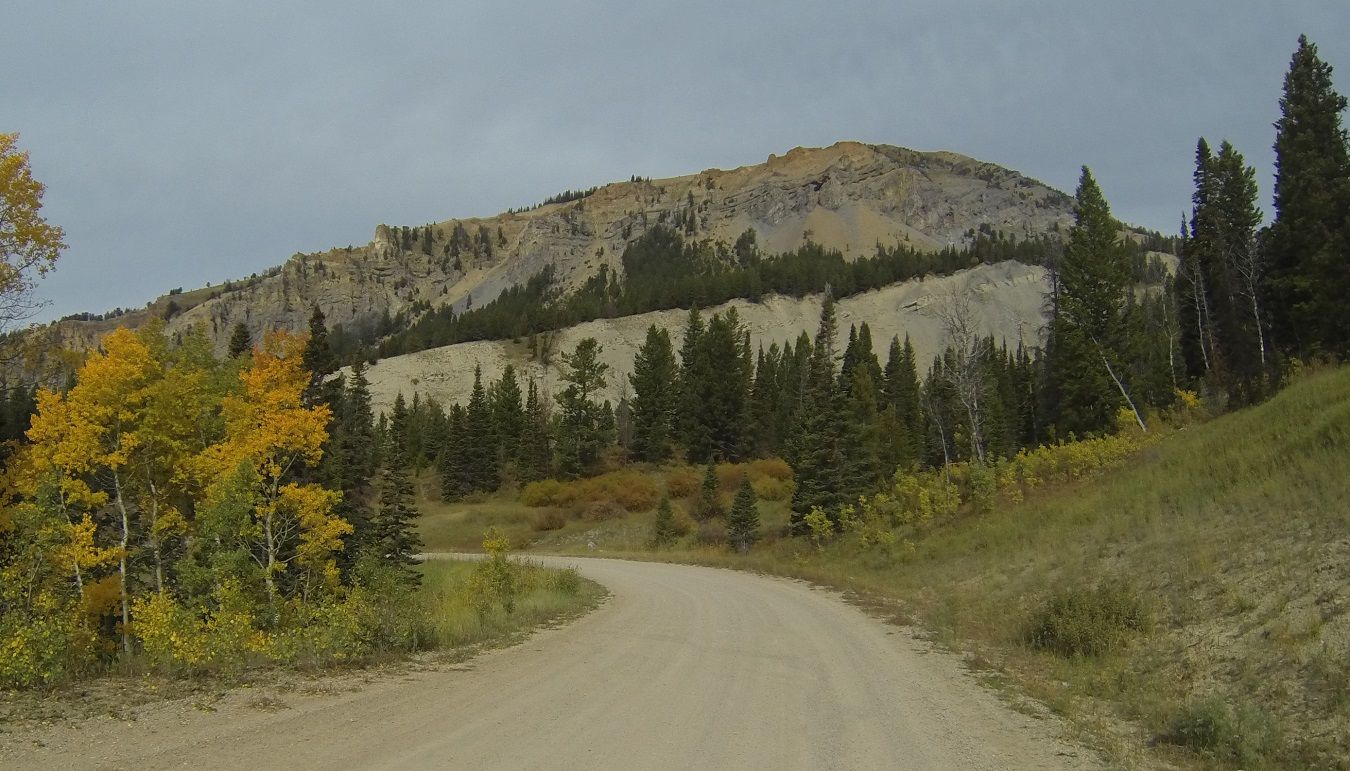
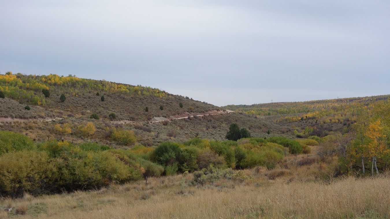
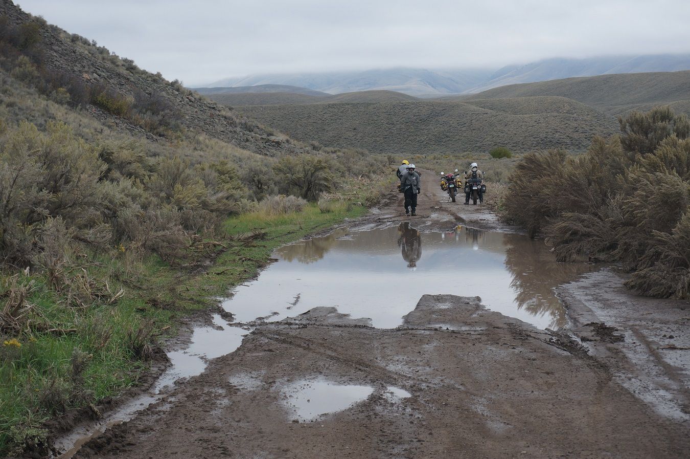
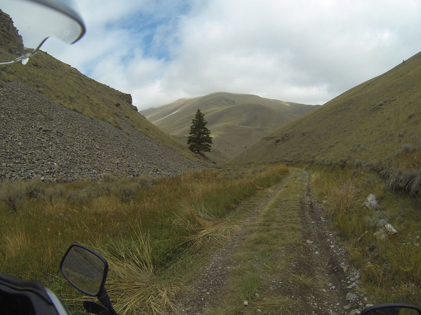
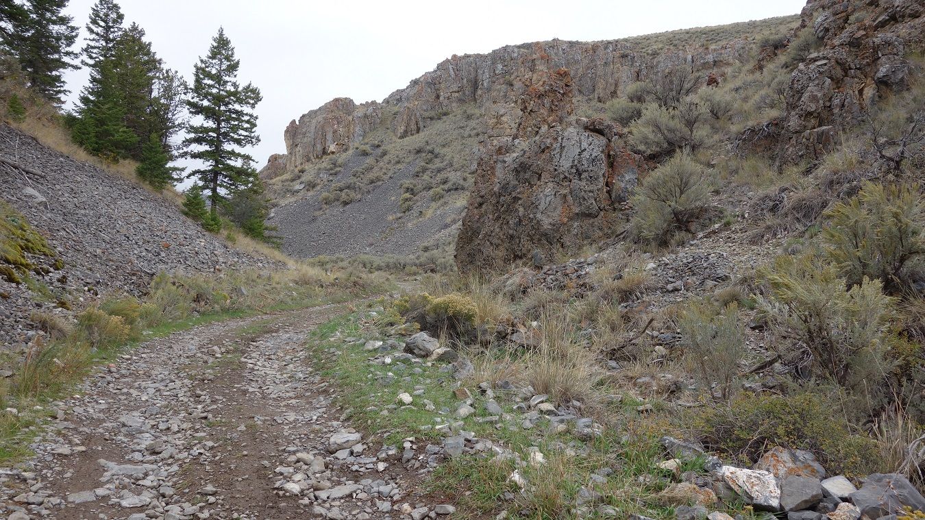
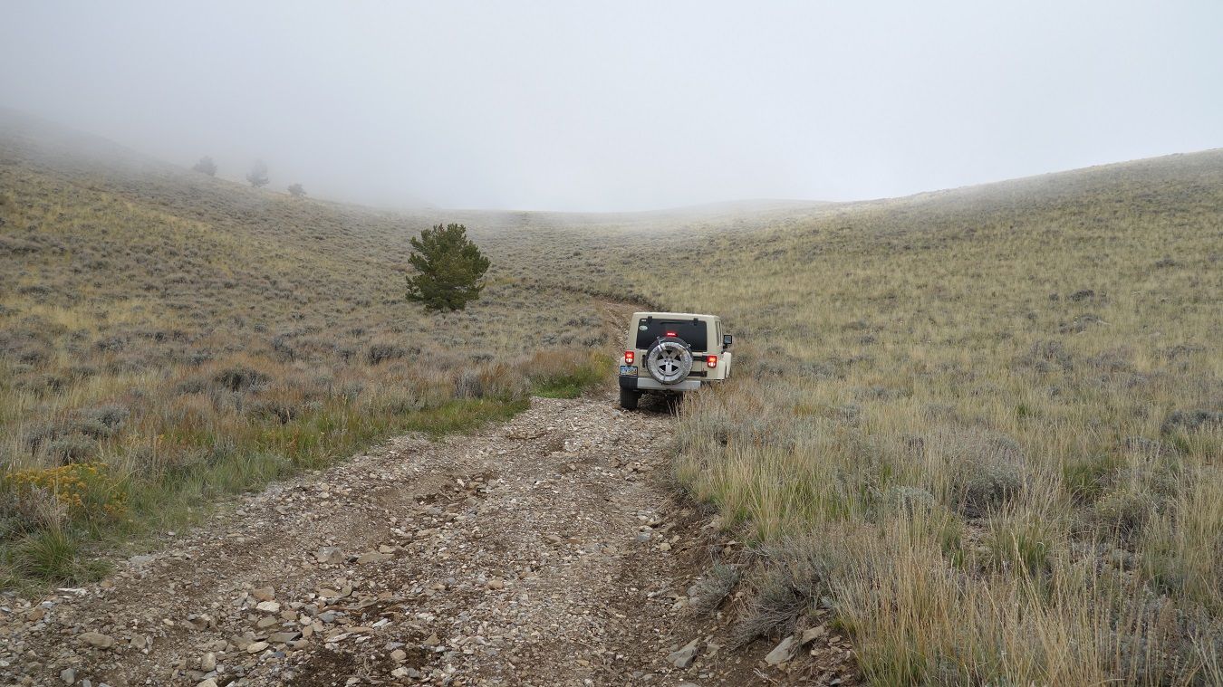
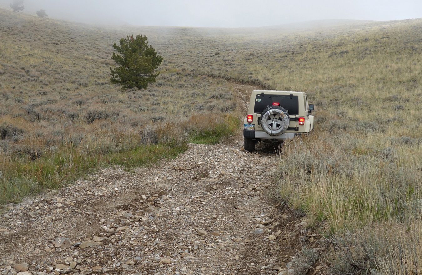
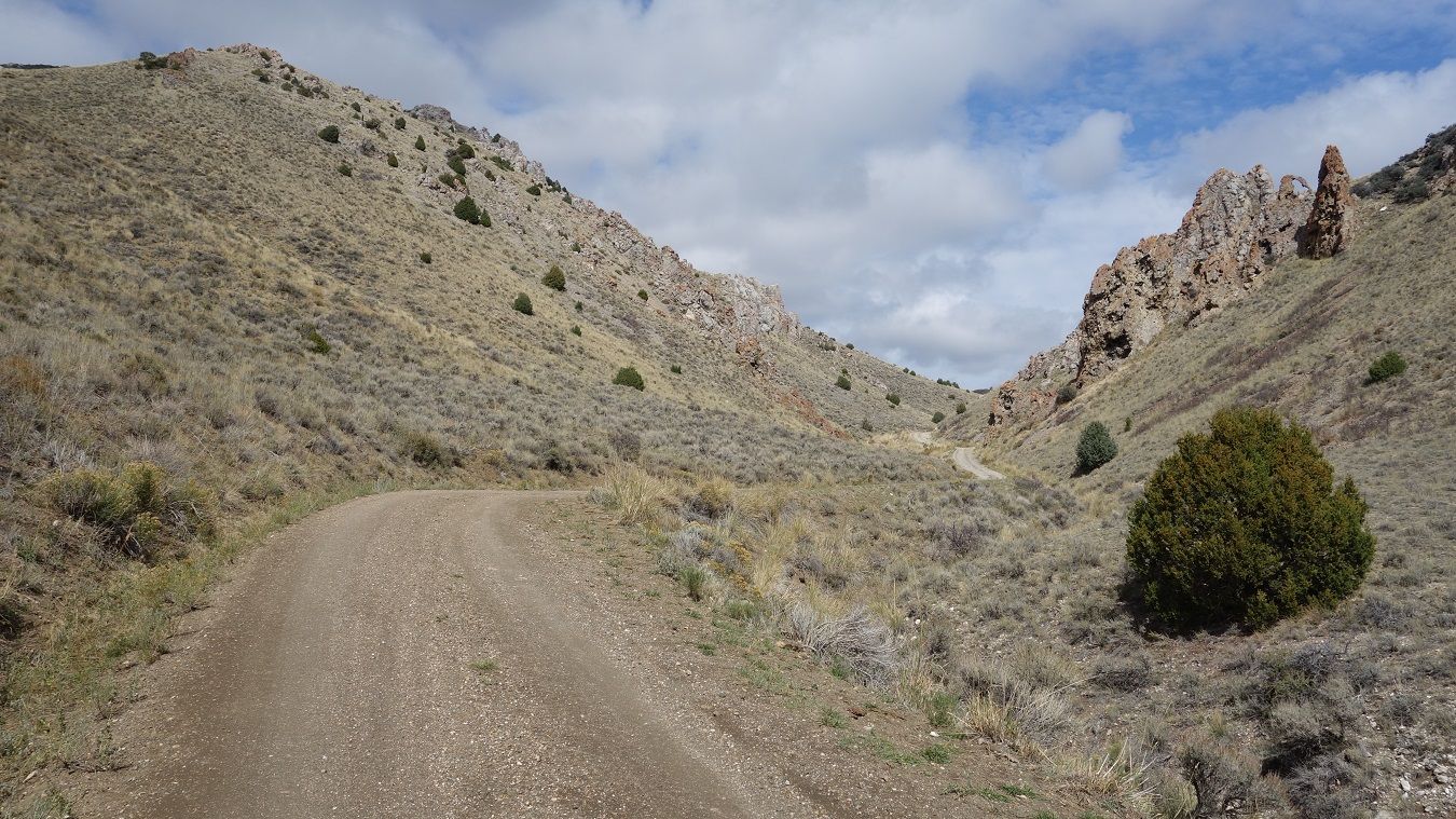
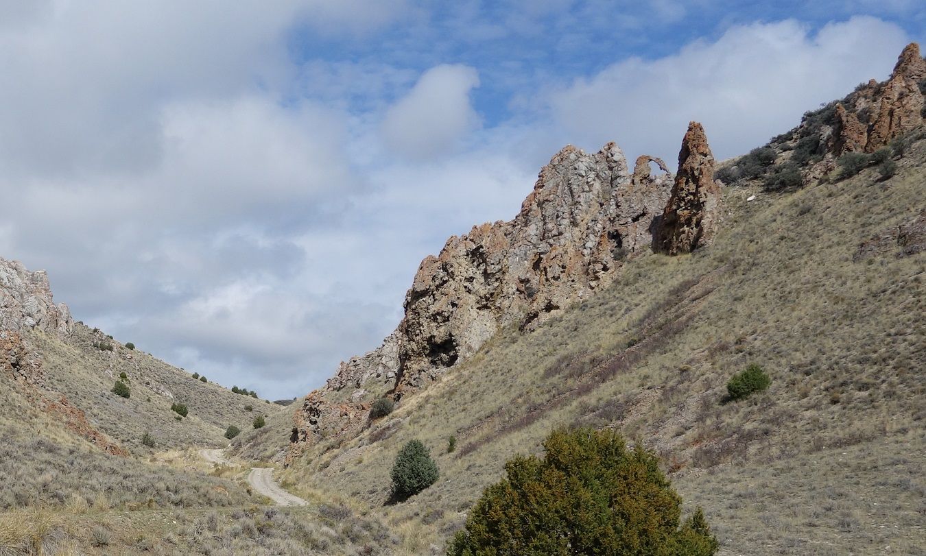
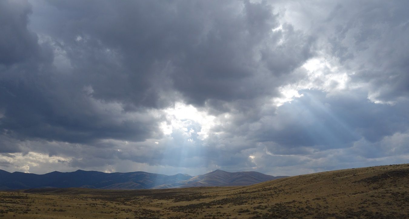
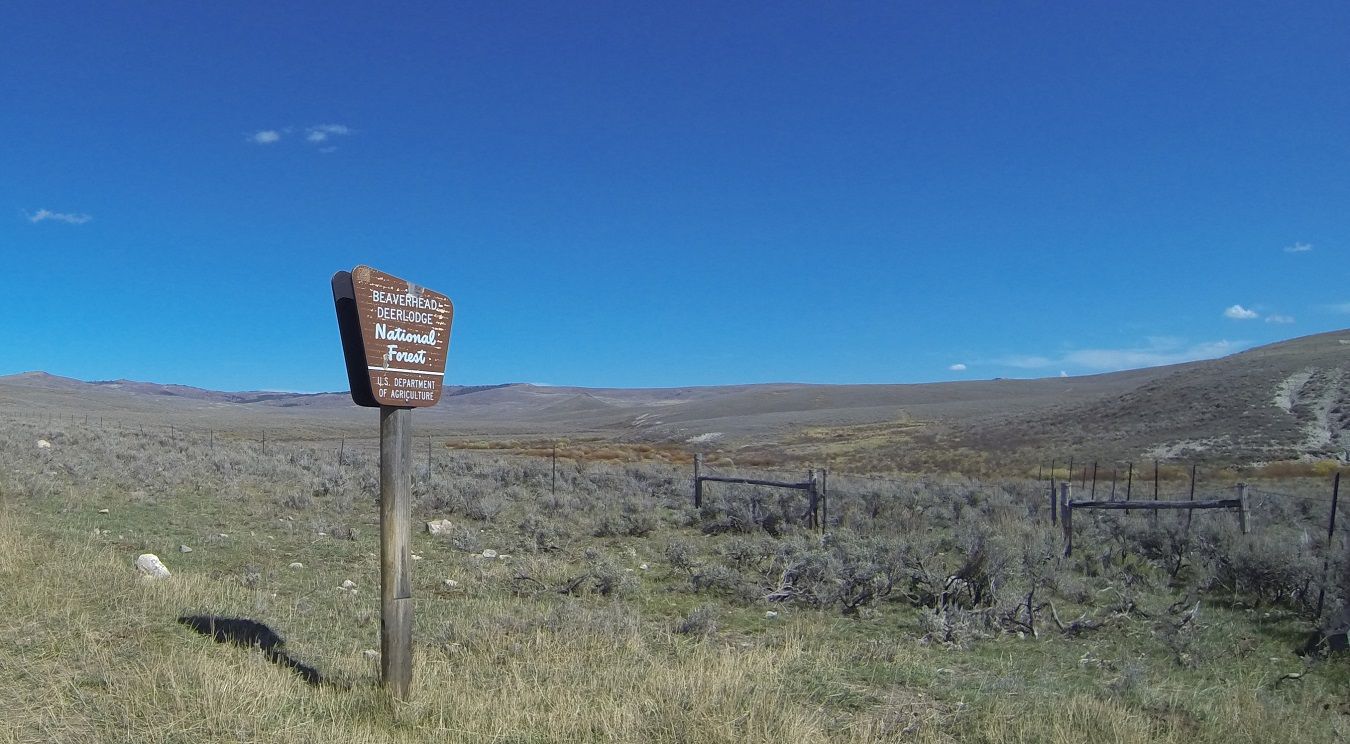
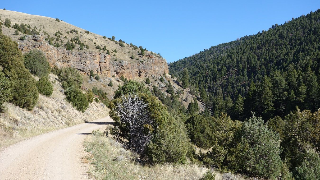
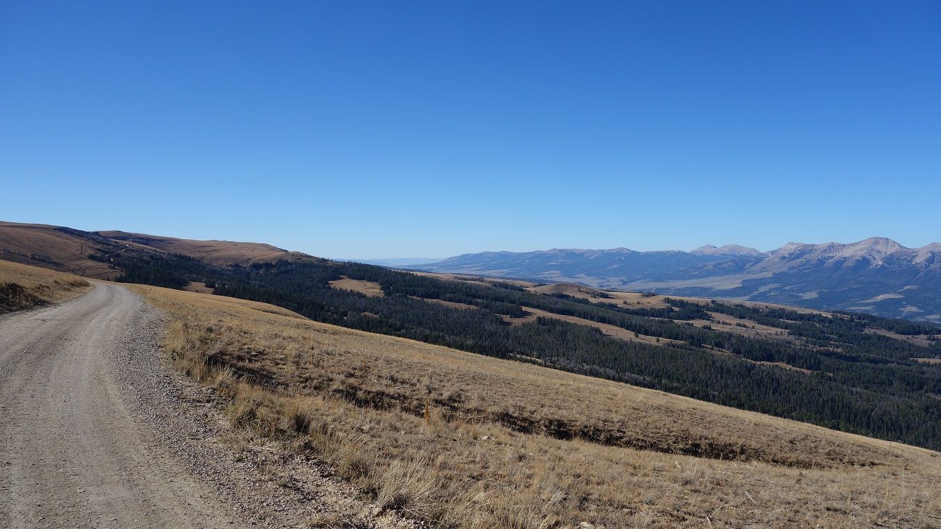
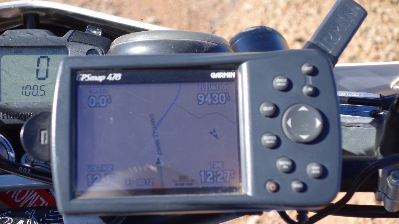
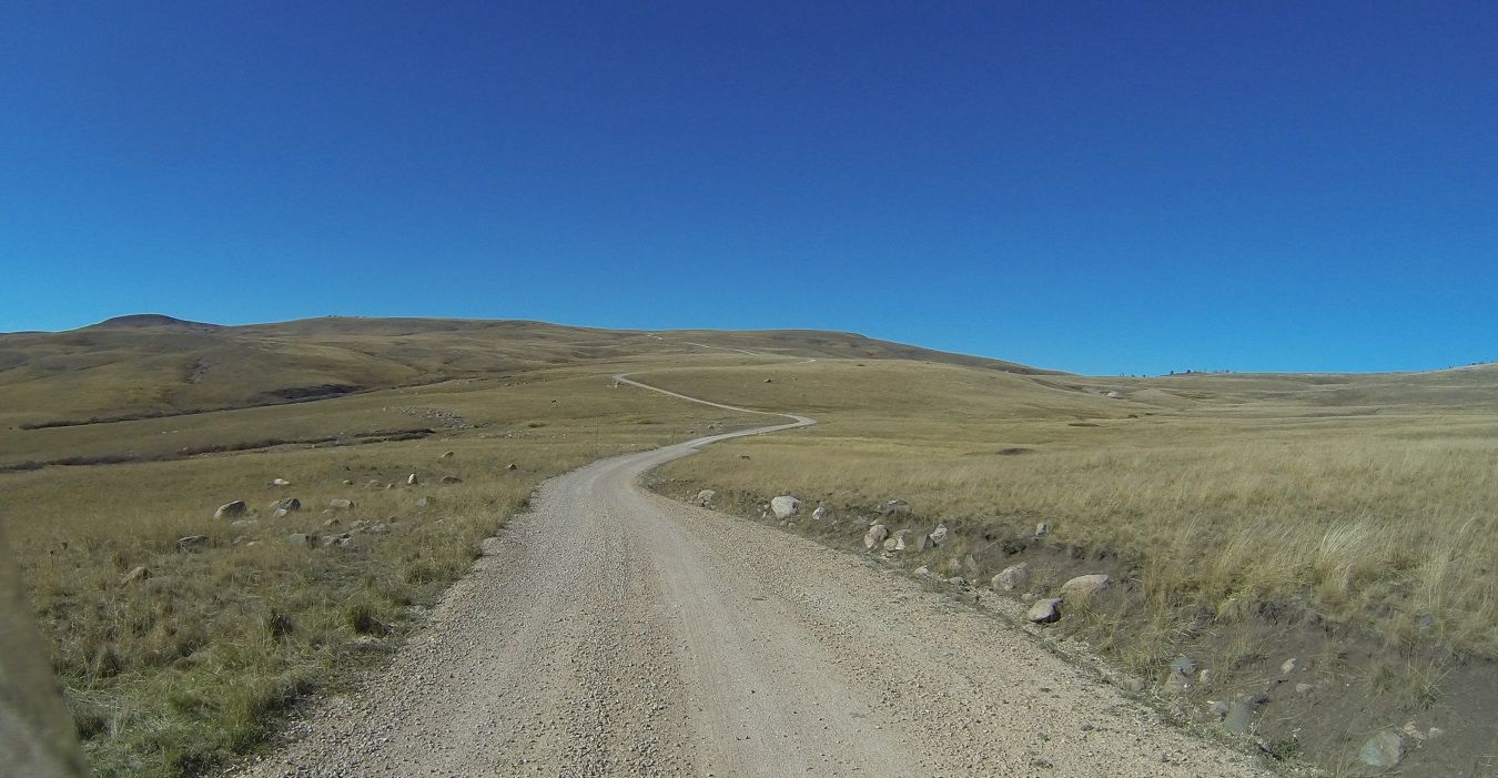
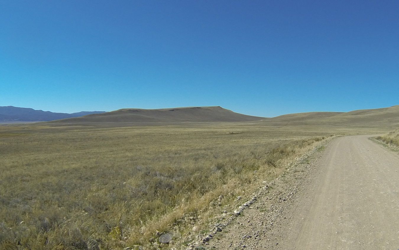
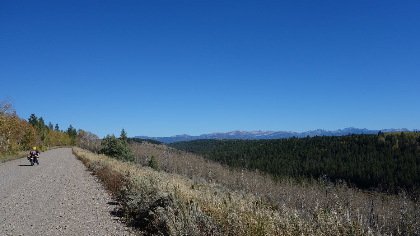
Tony recommended we check out Mahogany Pass, and since we've only got to cover 170 miles today, we gave it a look. It adds about 20 miles to our day, but is a good break from easy gravel roads...
https://www.youtube.com/watch?v=mzV3gJaICyQ
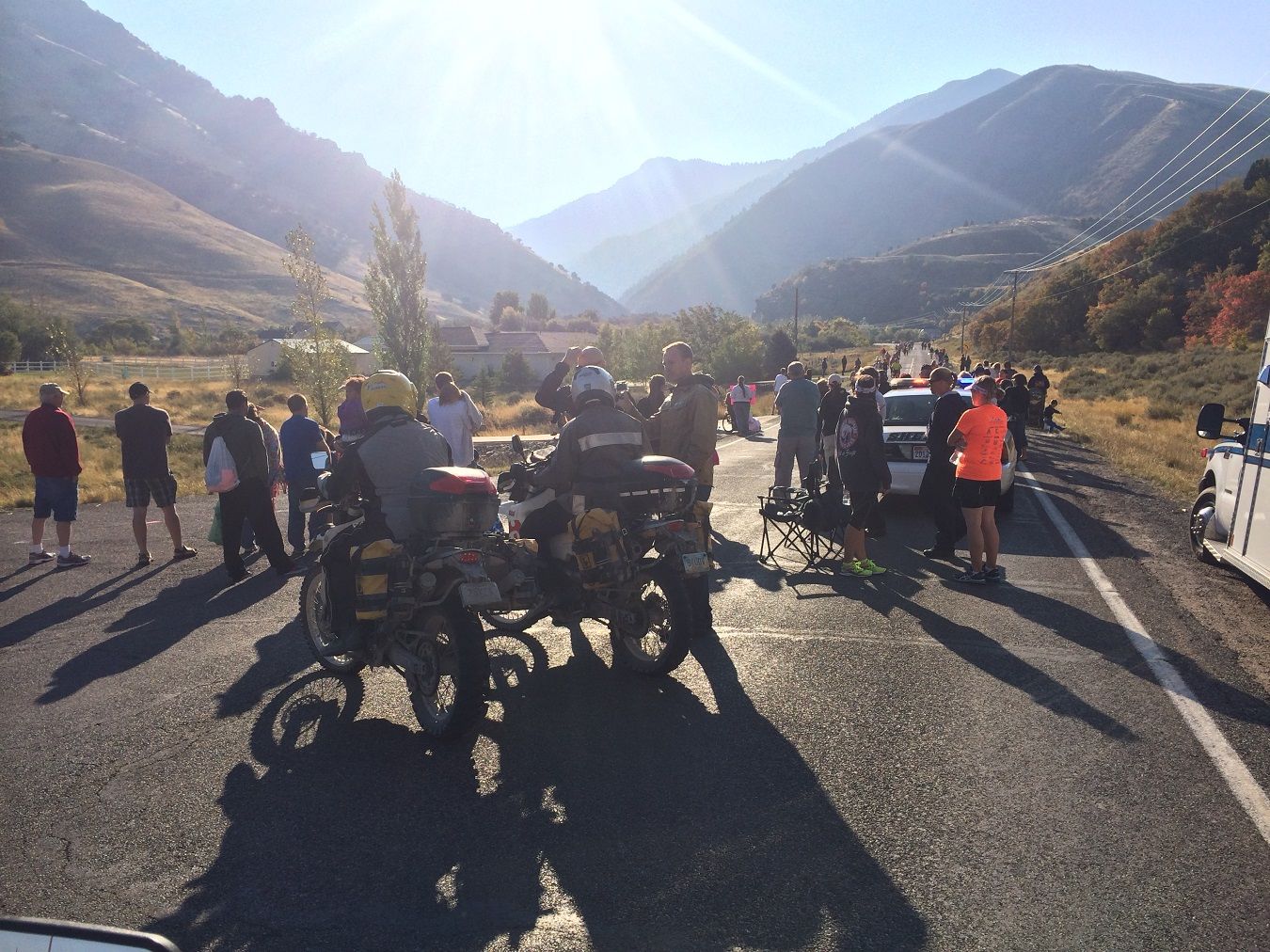
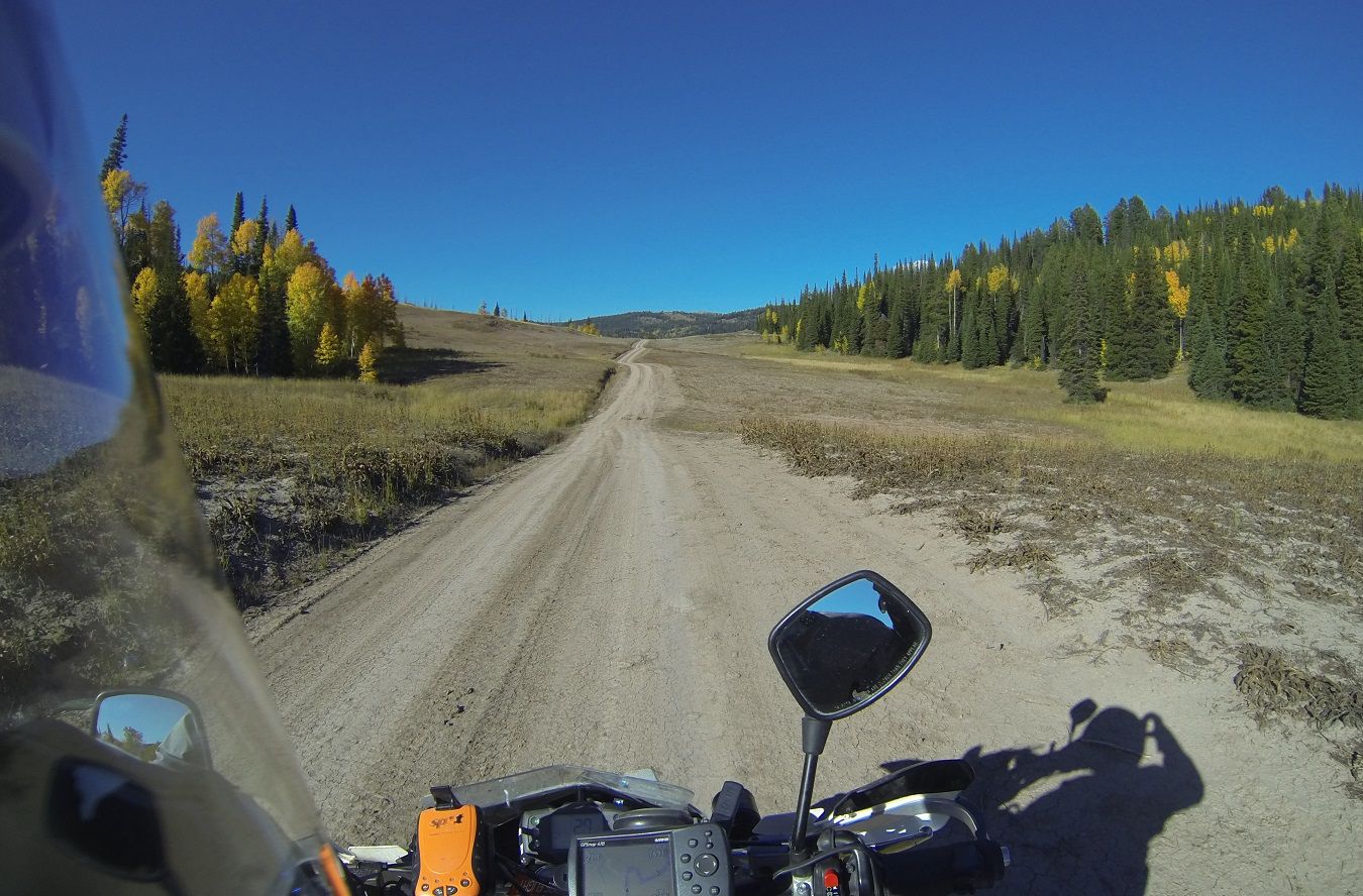
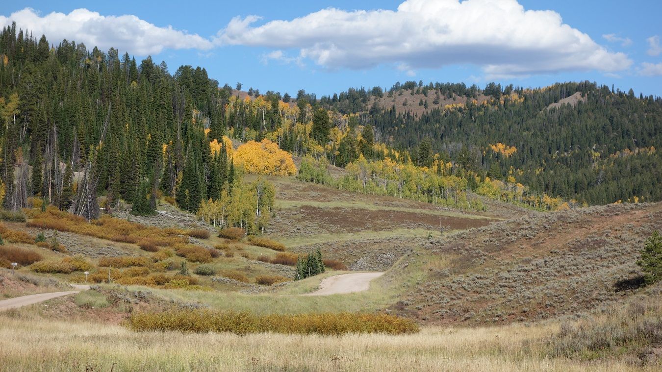
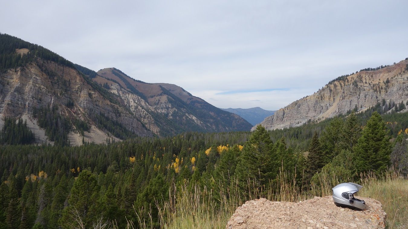
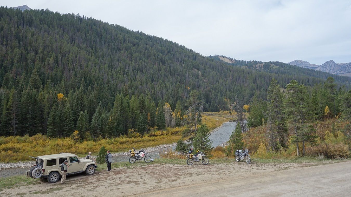
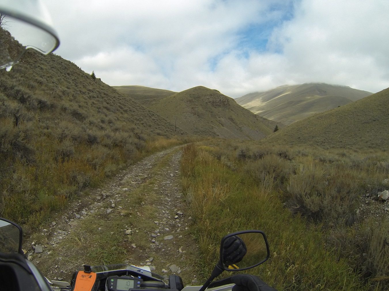
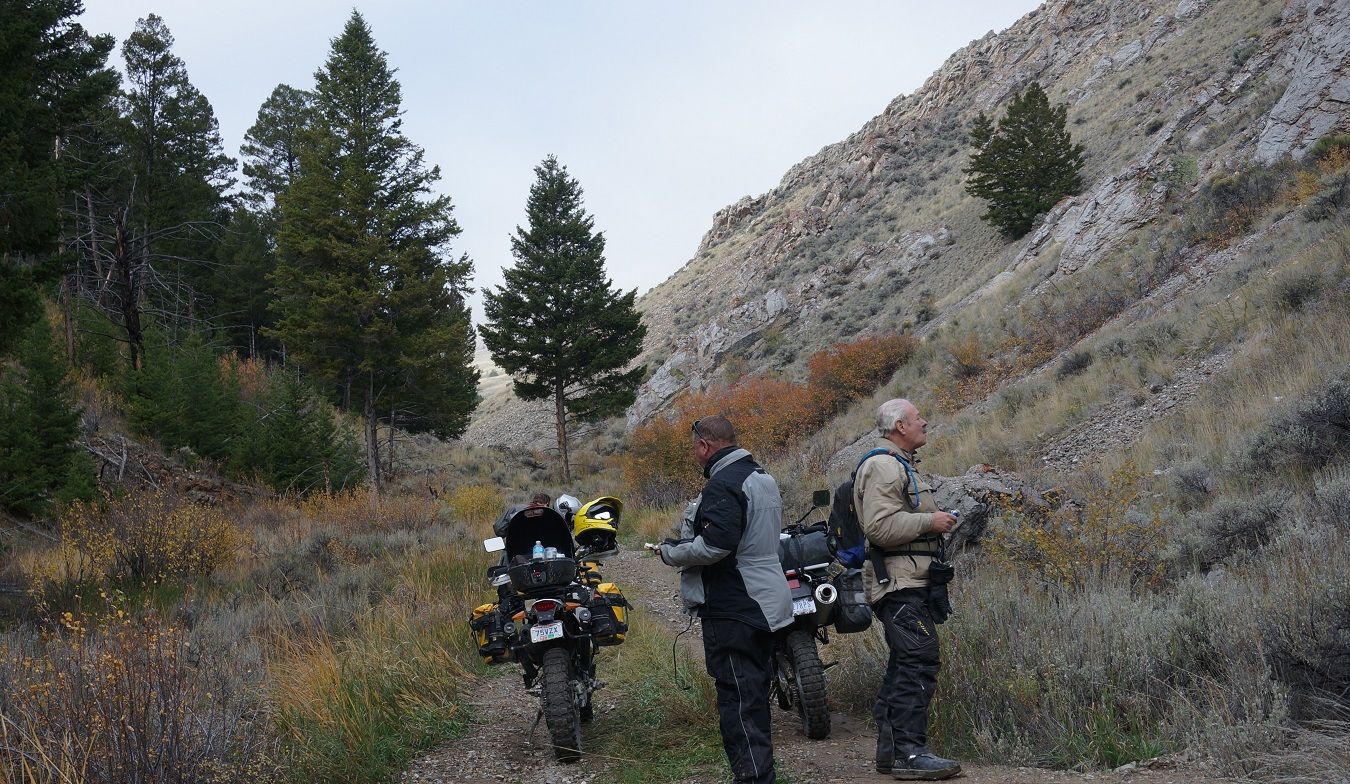
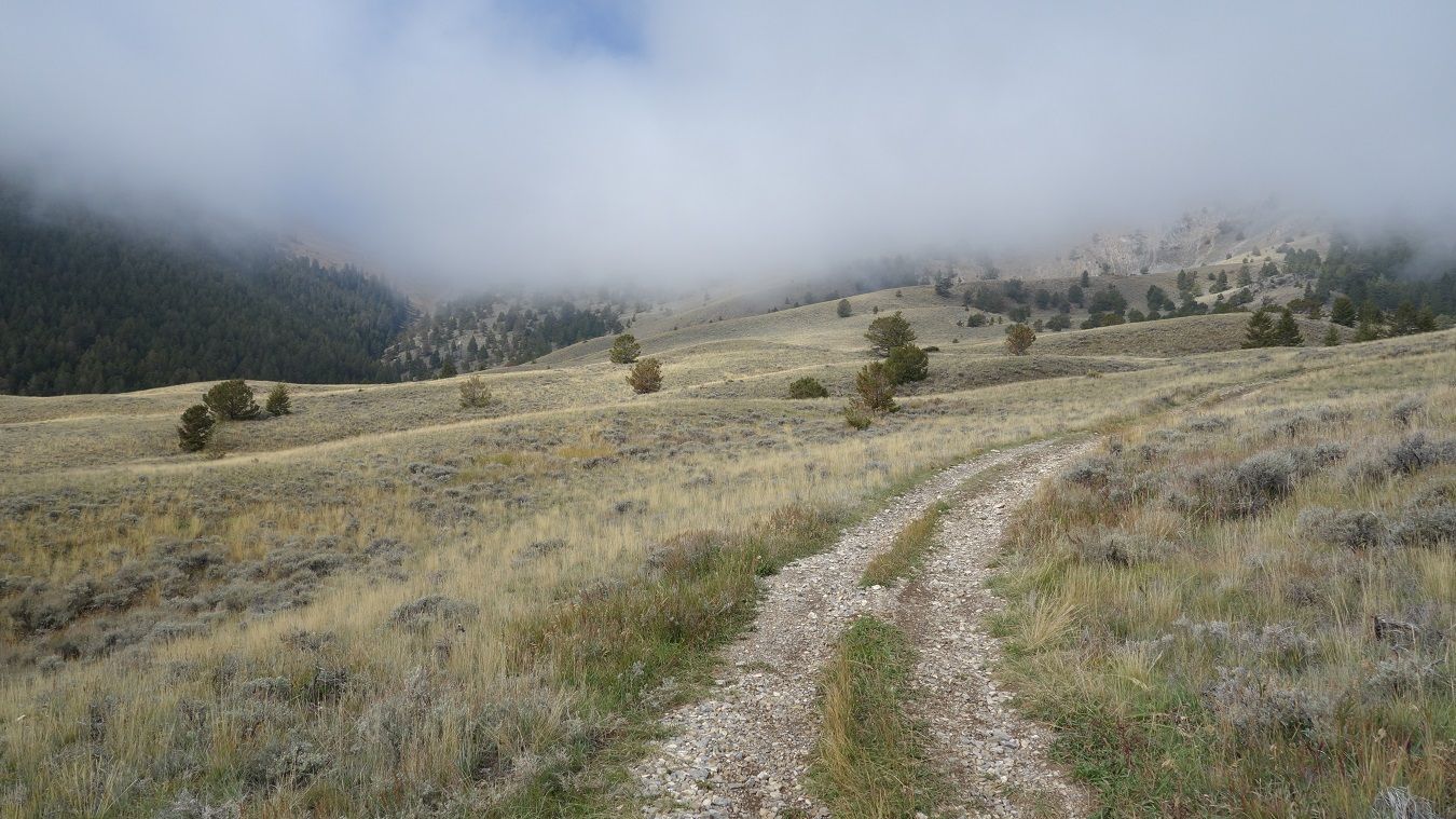
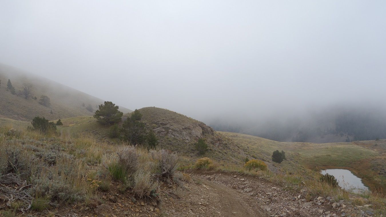
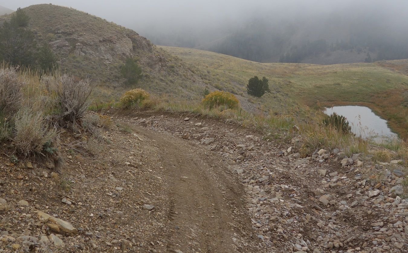
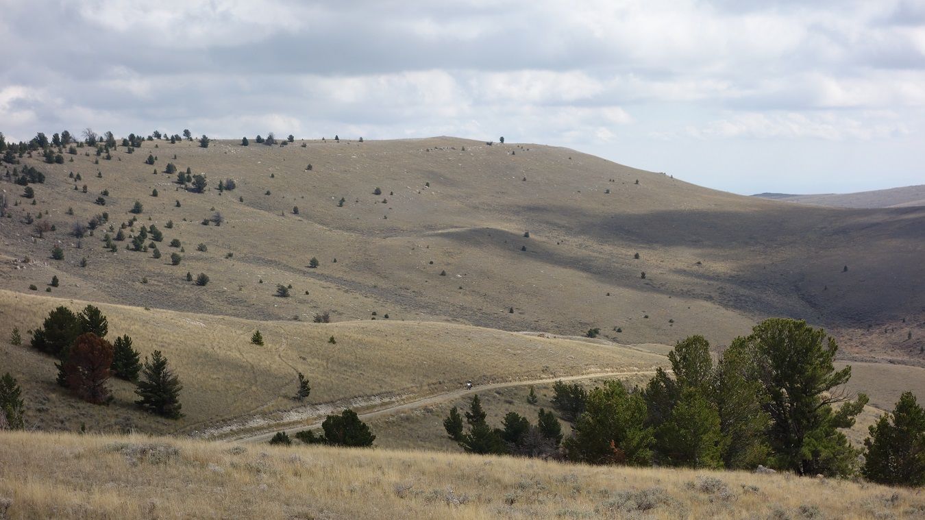
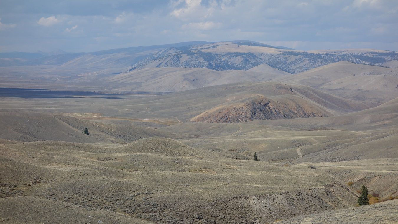
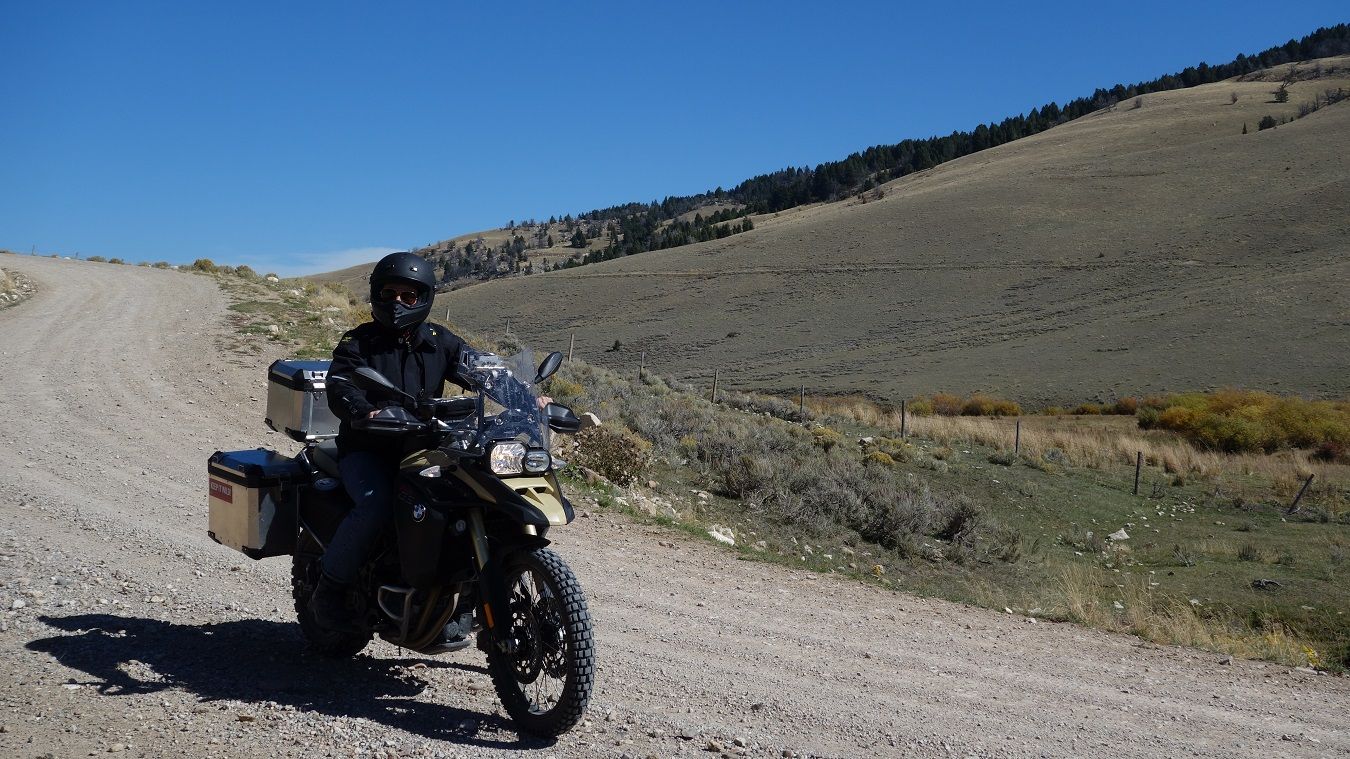
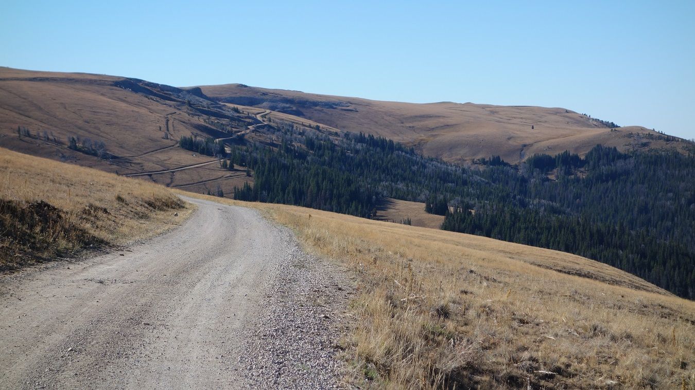
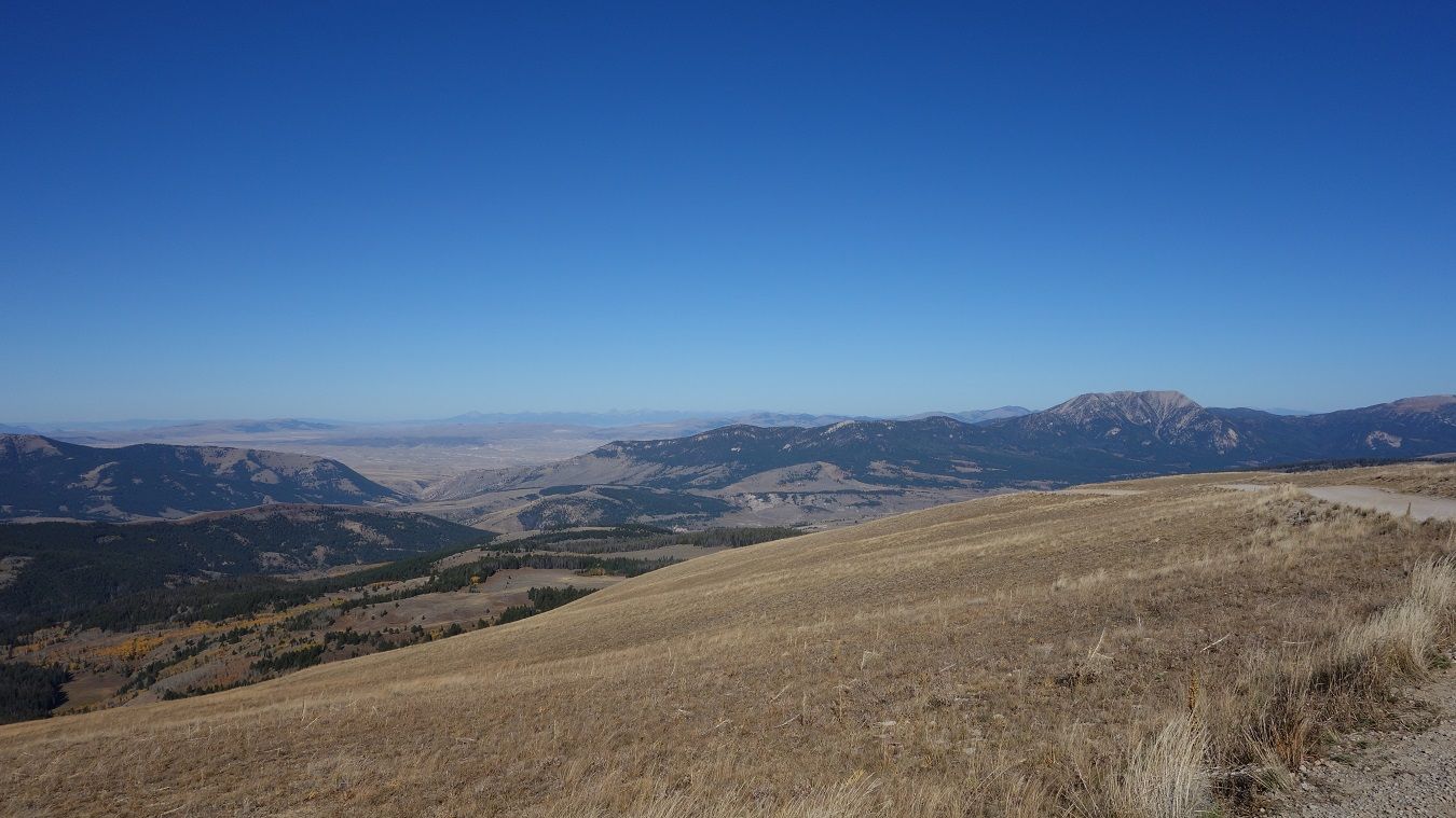
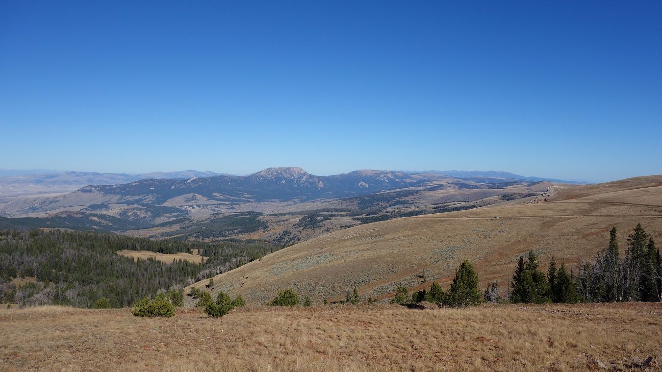
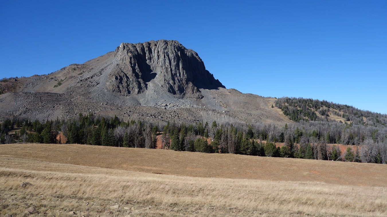
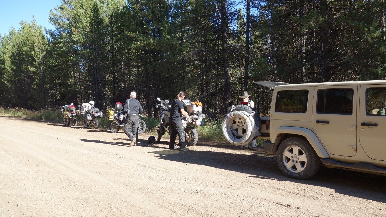
Stopped for a snack break approaching the climb to the summit and Jim/Gary decided to wait here. Dad and I went a couple miles farther until it was obvious the top was covered by clouds. This is a great ALT route that Tony provides, on a clear day its well worth the time. It is some of the more technical riding of the route, similar to the passes in Colorado as you near the top.
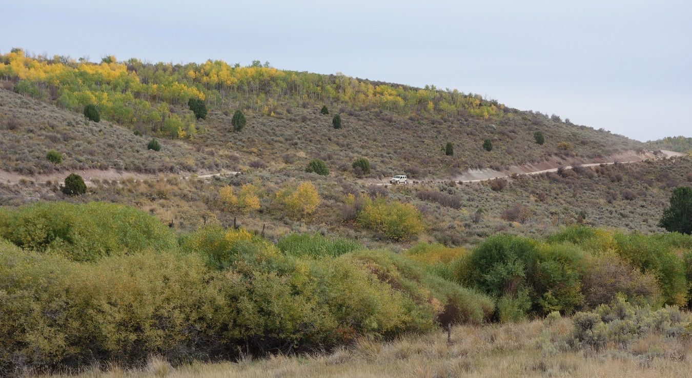
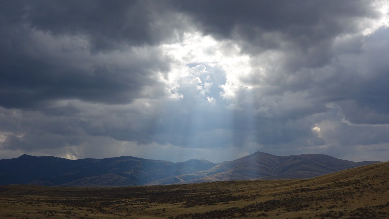
So we head back down to the guys...
https://www.youtube.com/watch?v=MlQB09vACf4
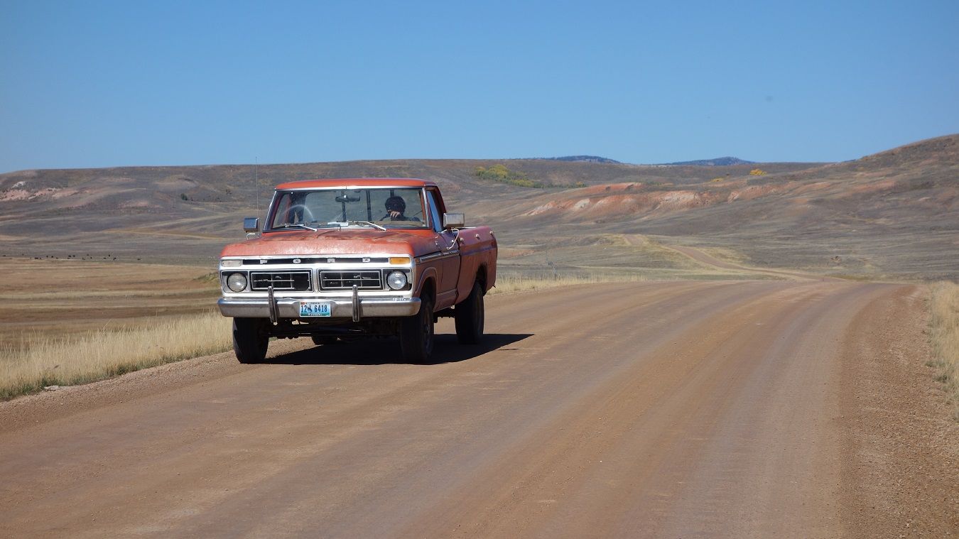
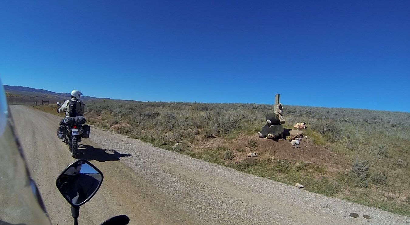
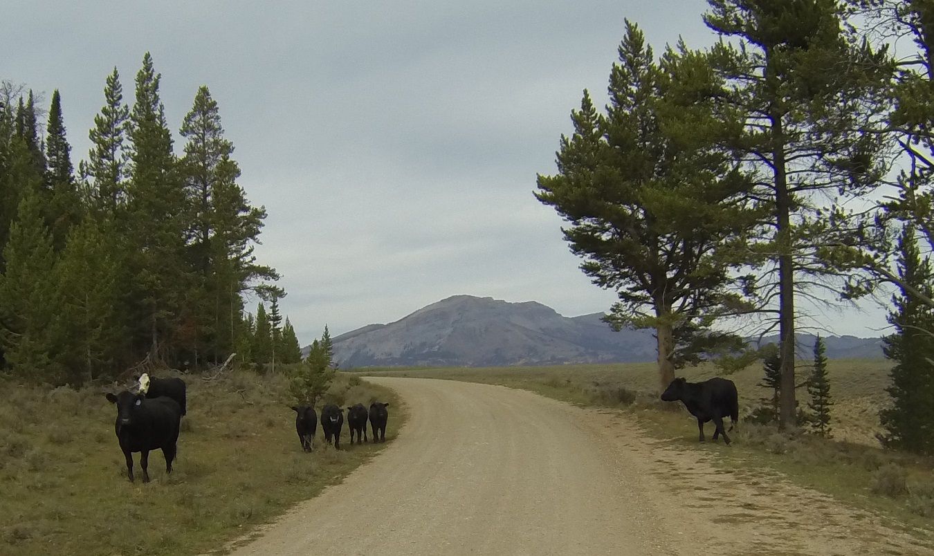
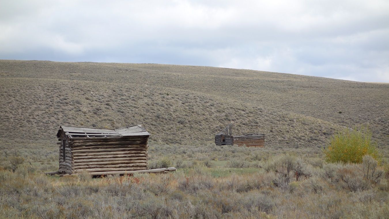
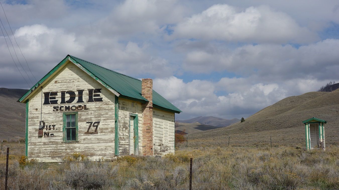
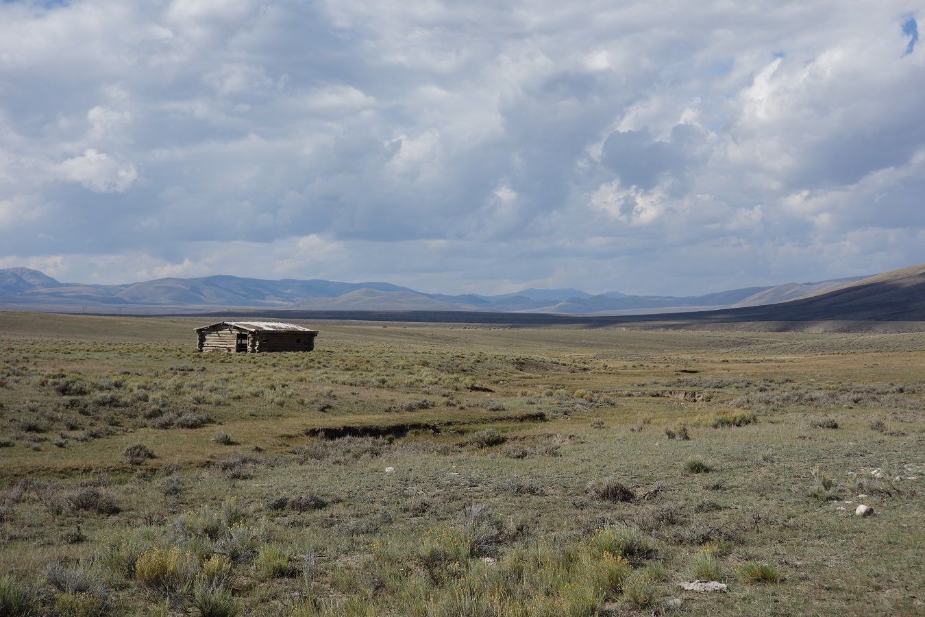
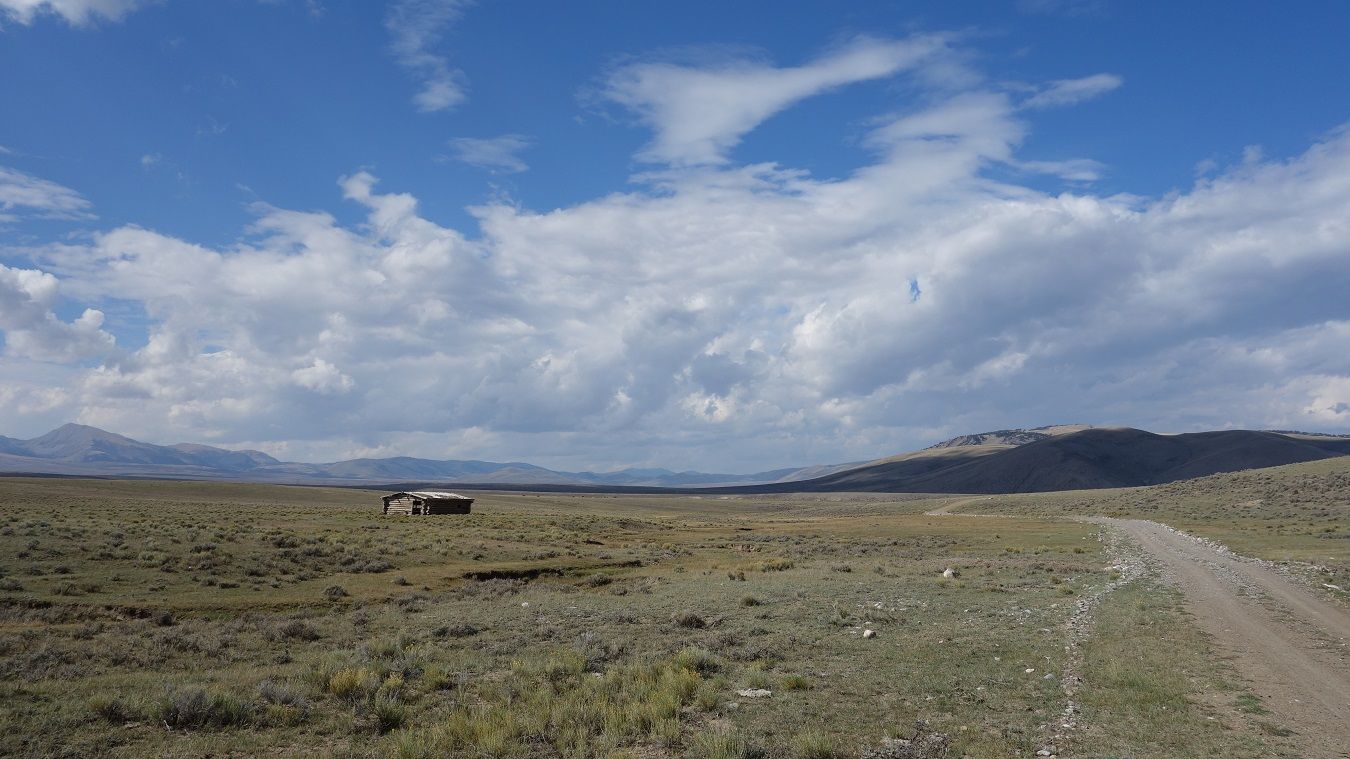
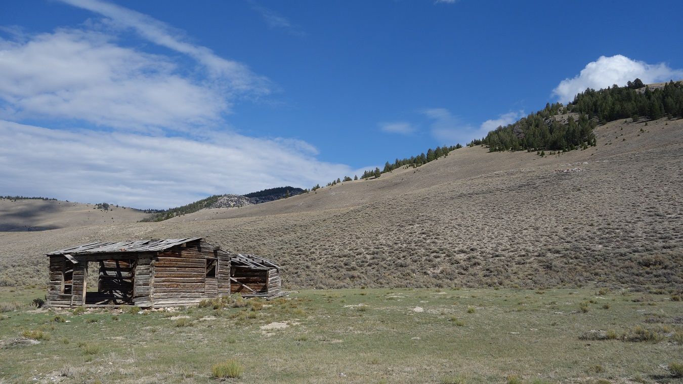
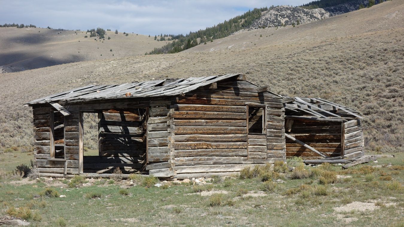
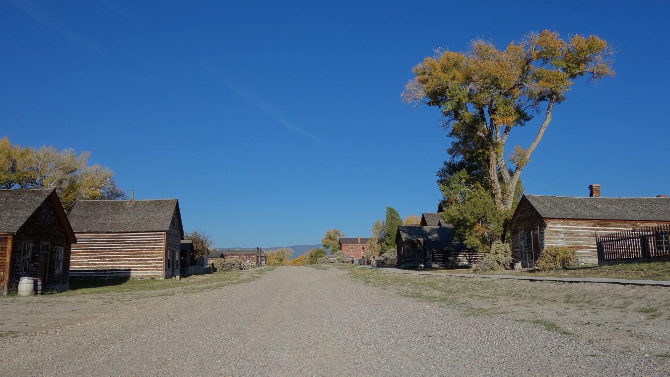
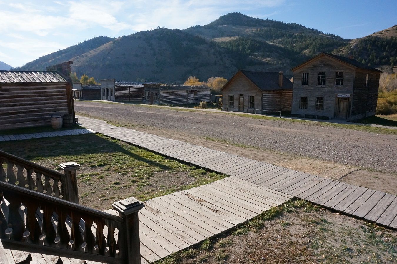
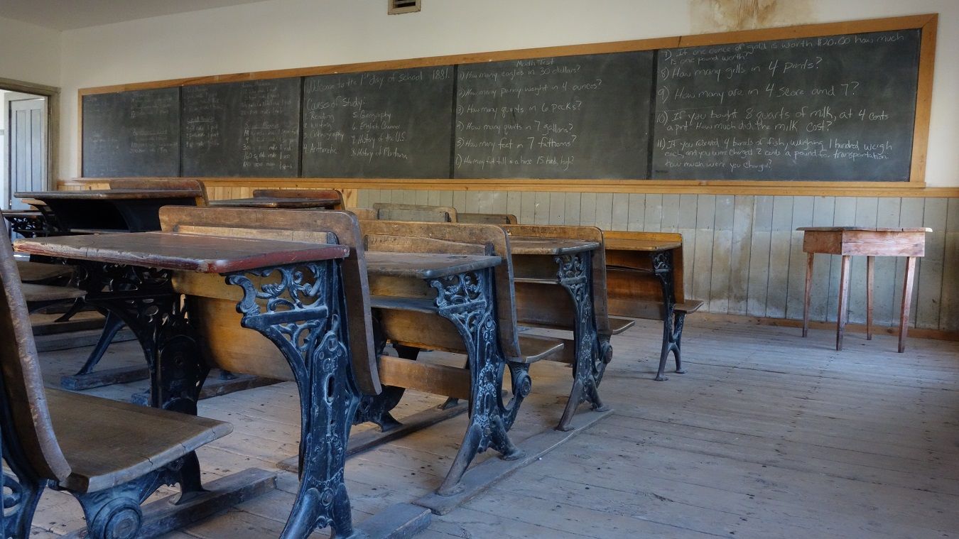
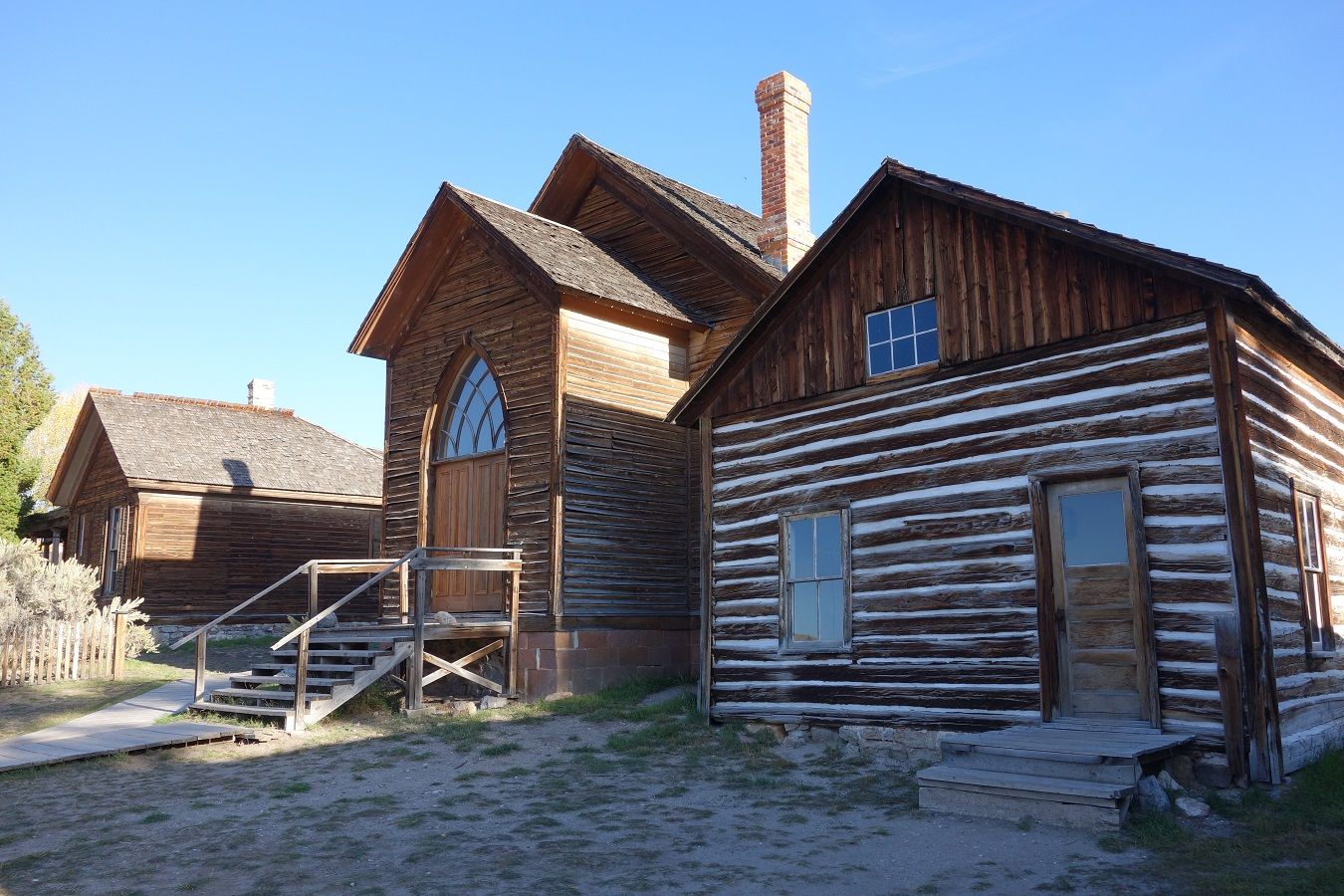
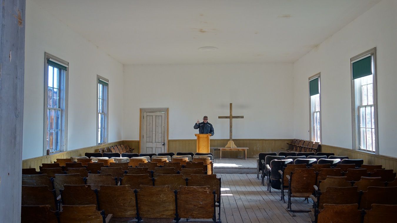
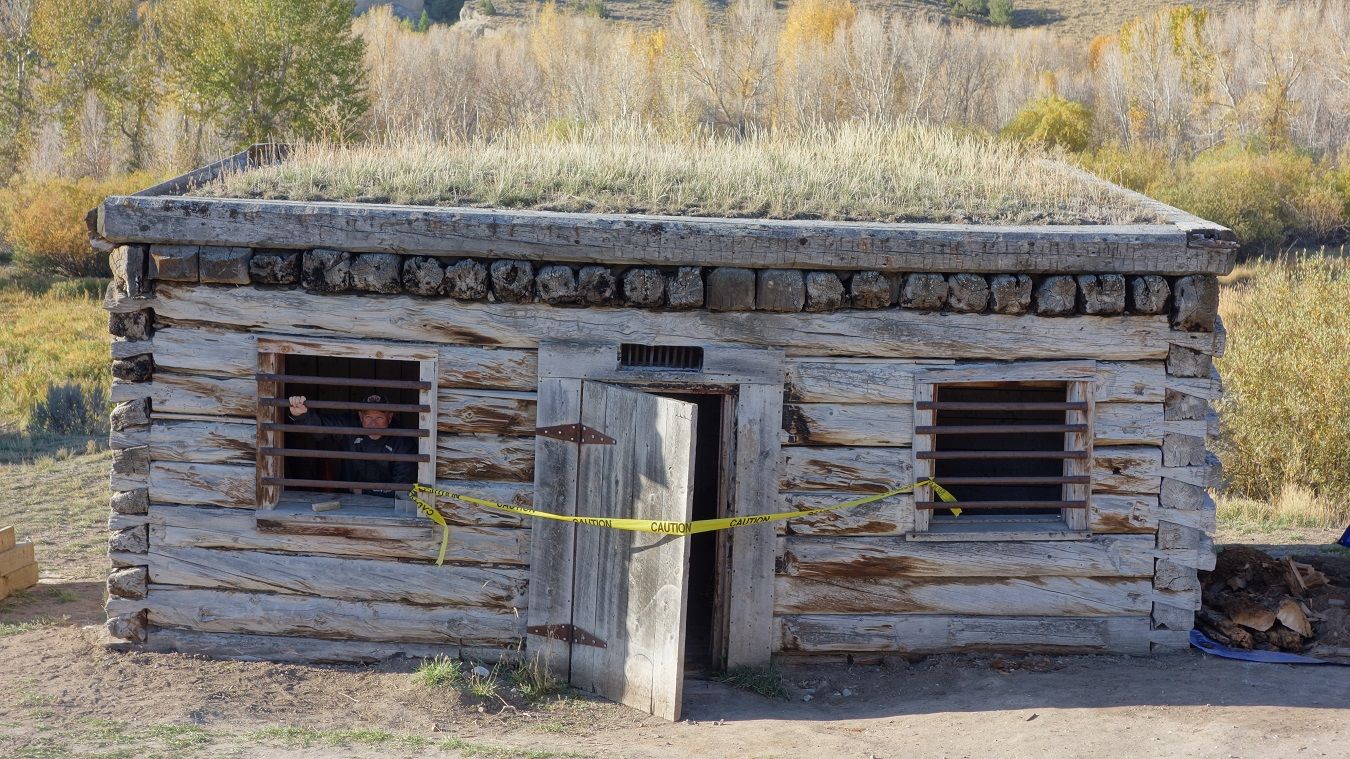
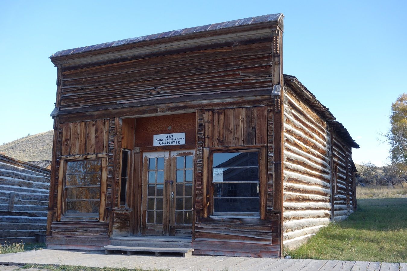
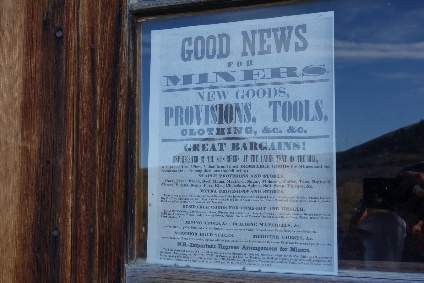
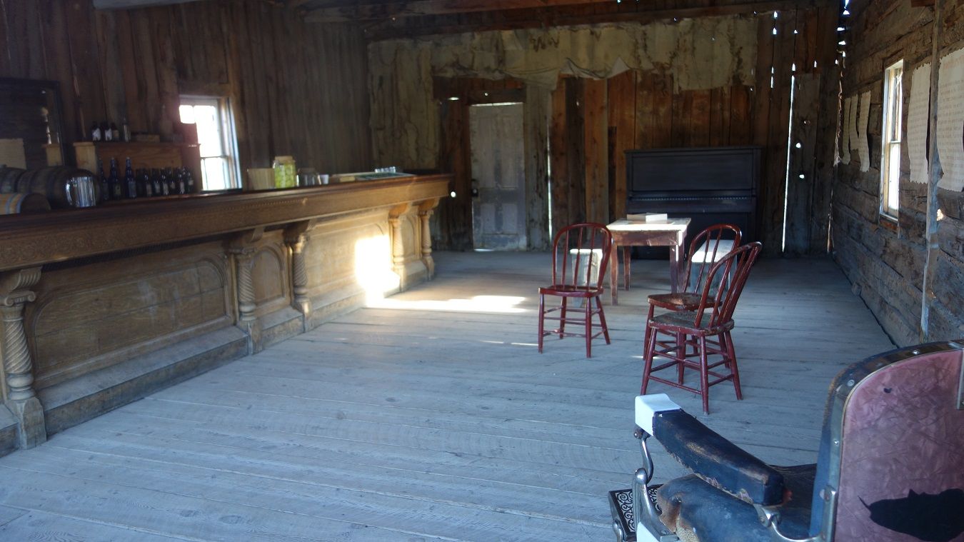
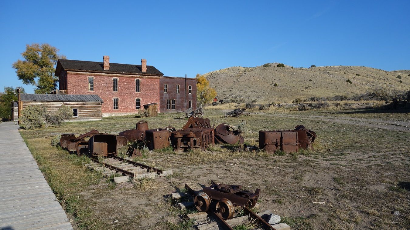
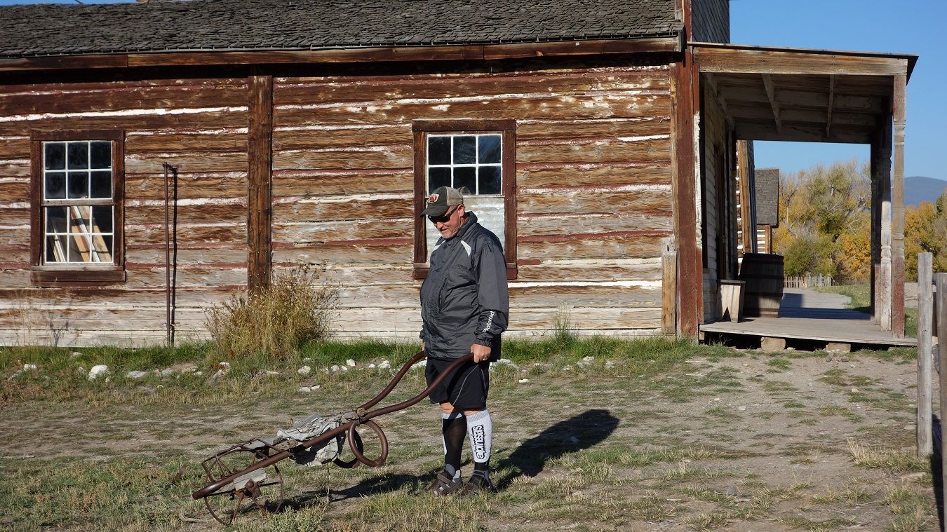
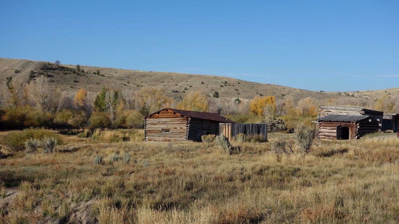
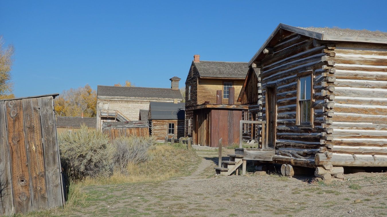
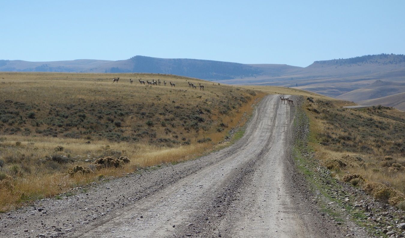
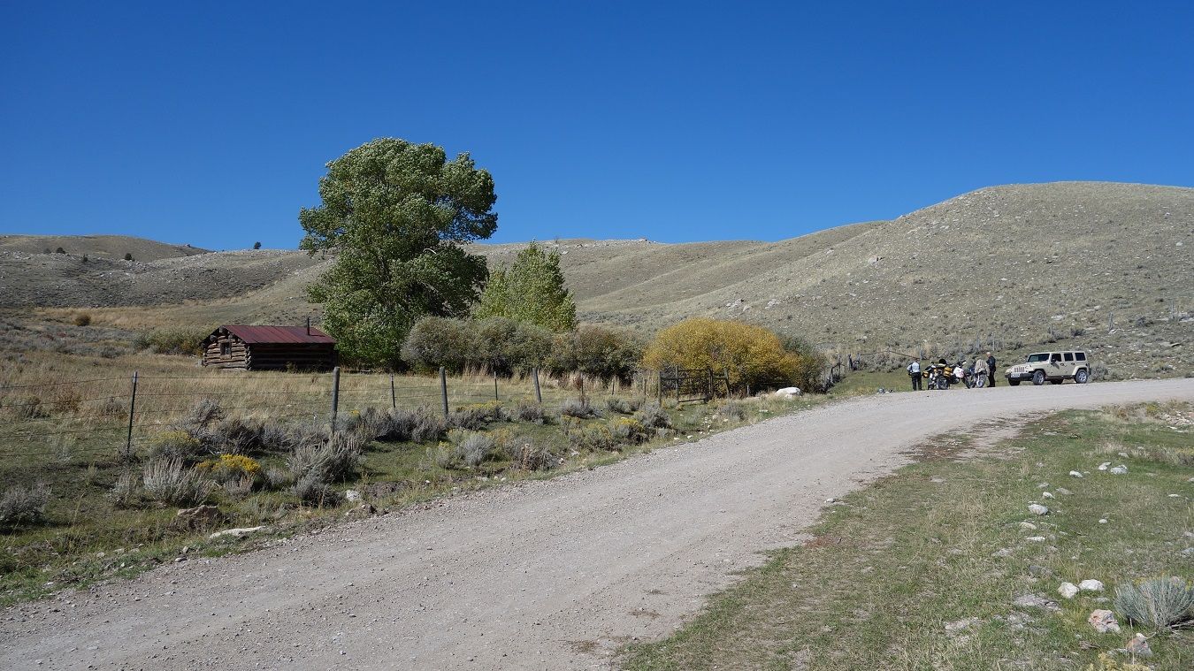
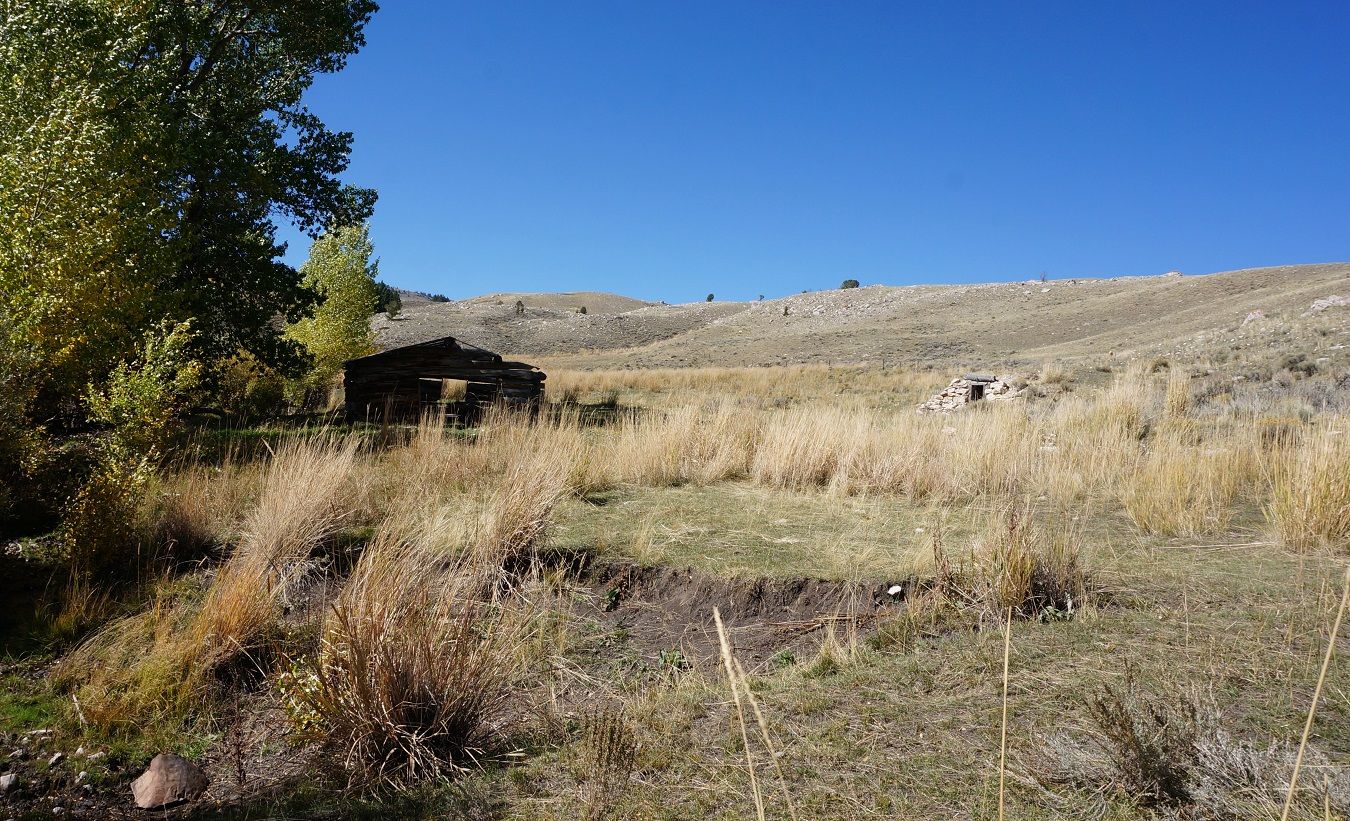
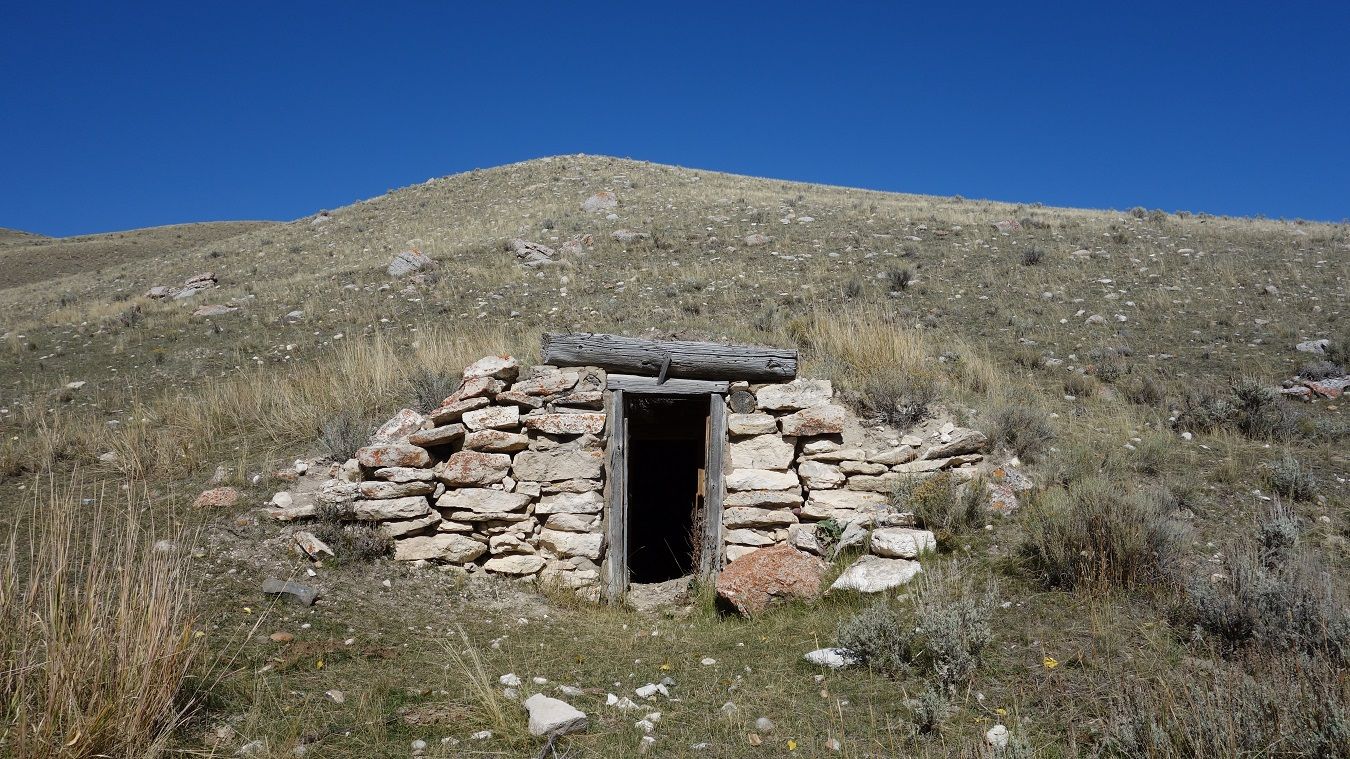
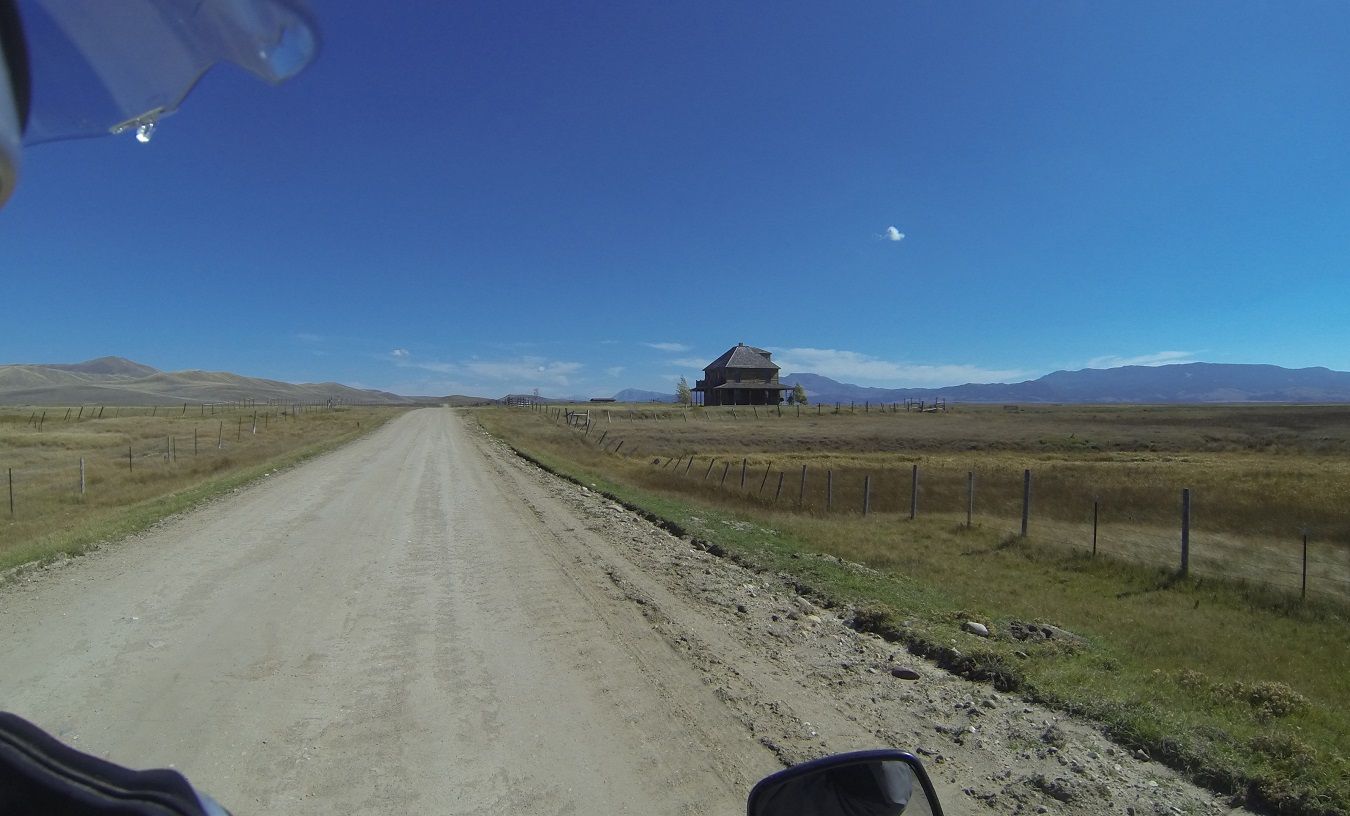
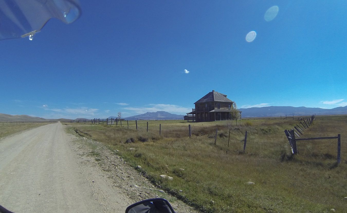
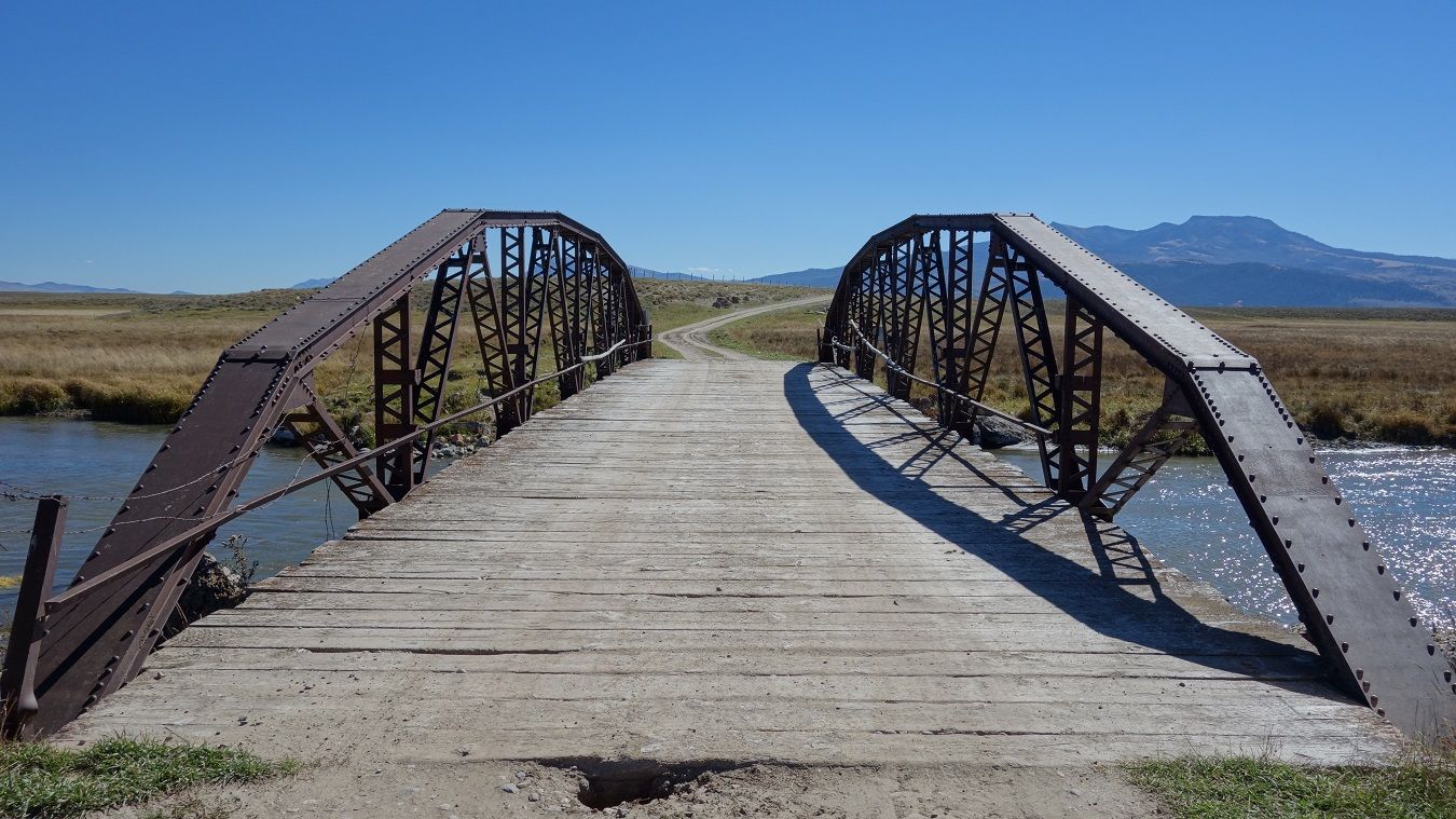
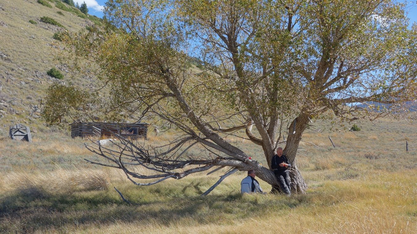
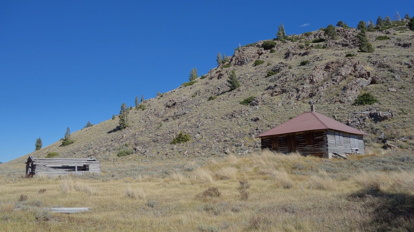
First of may old homesteads we saw today.
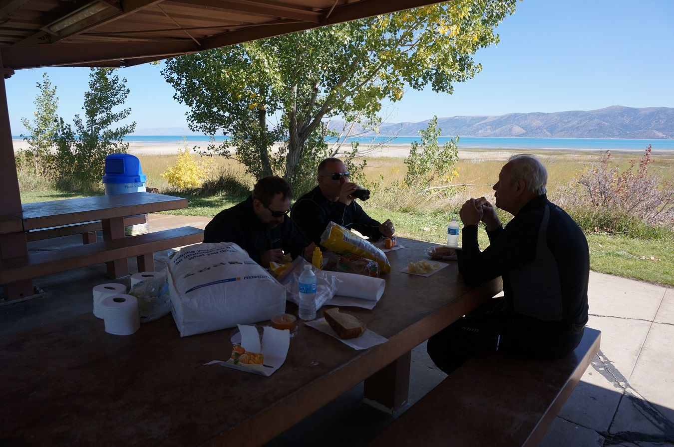
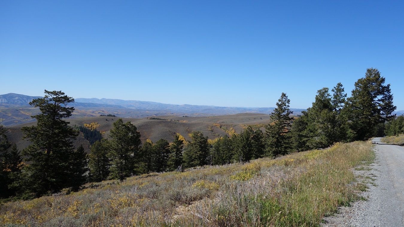
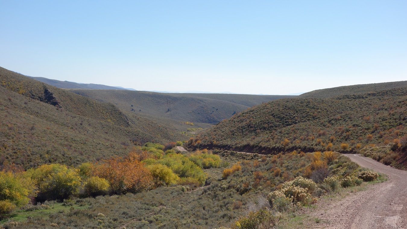
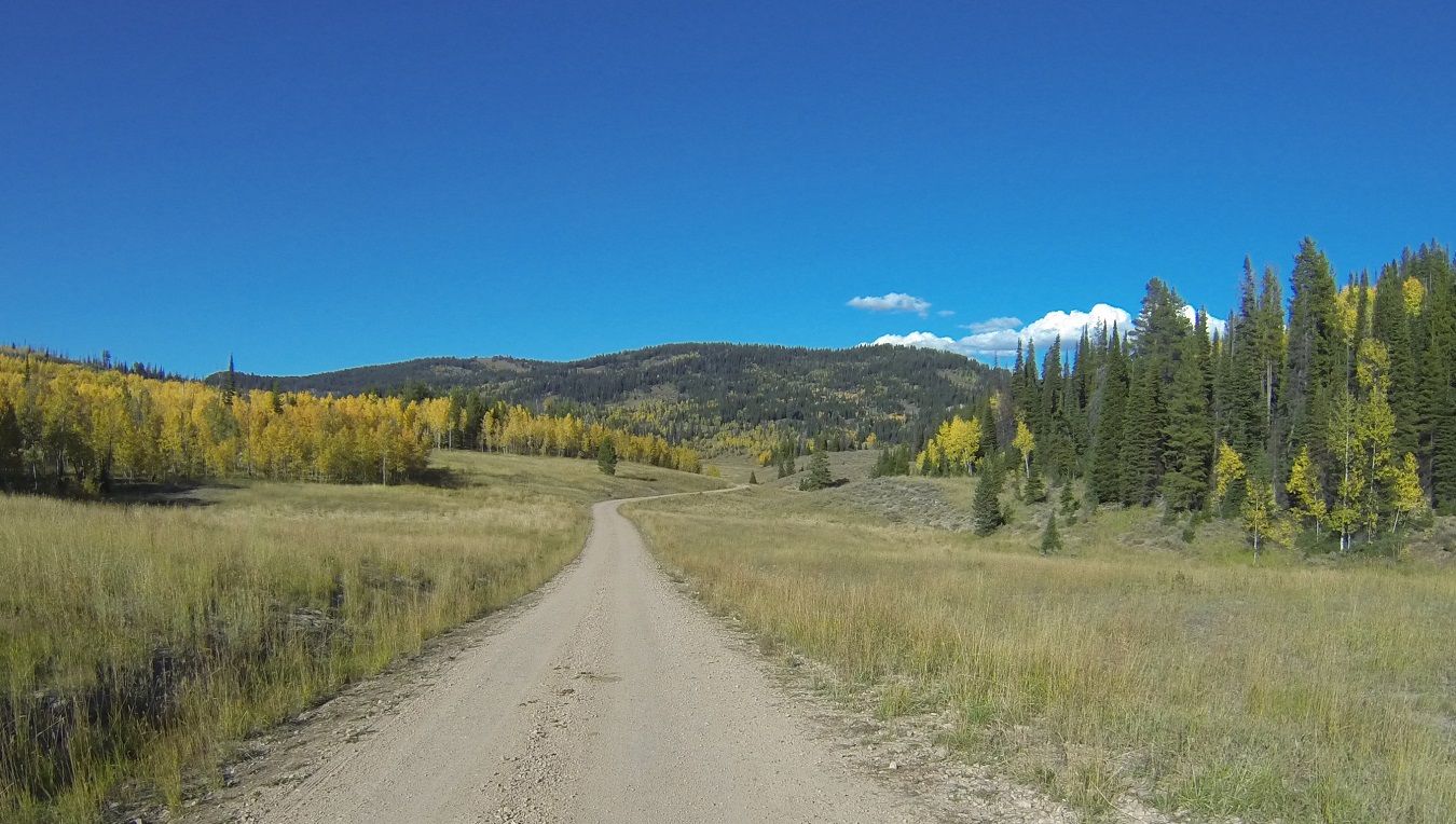
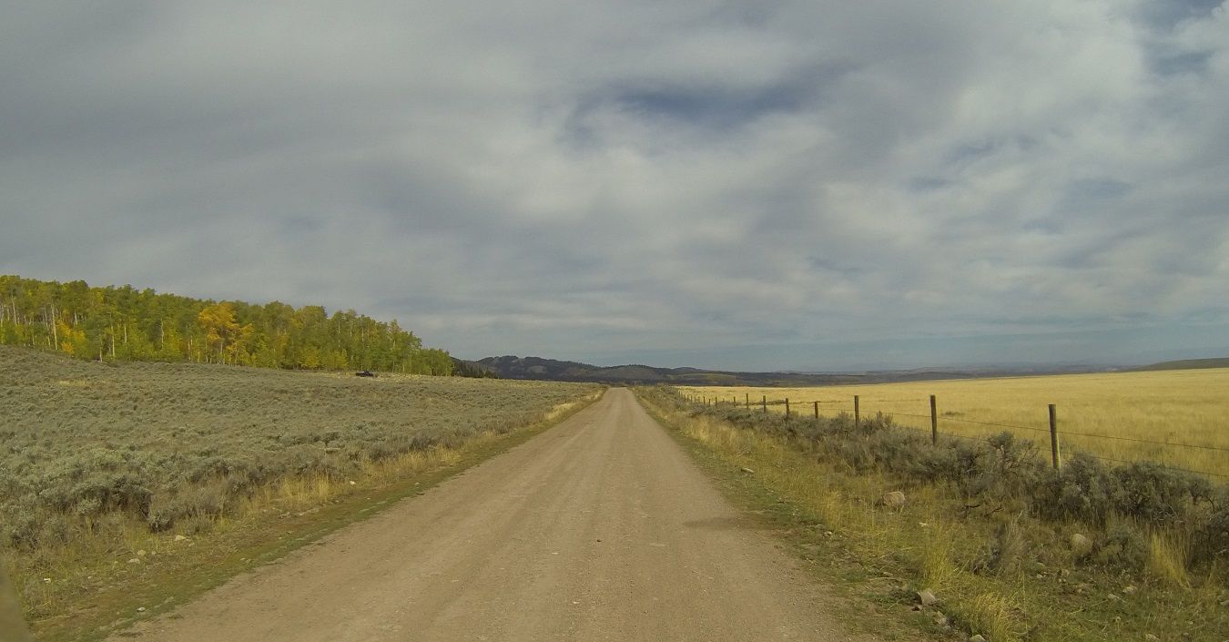
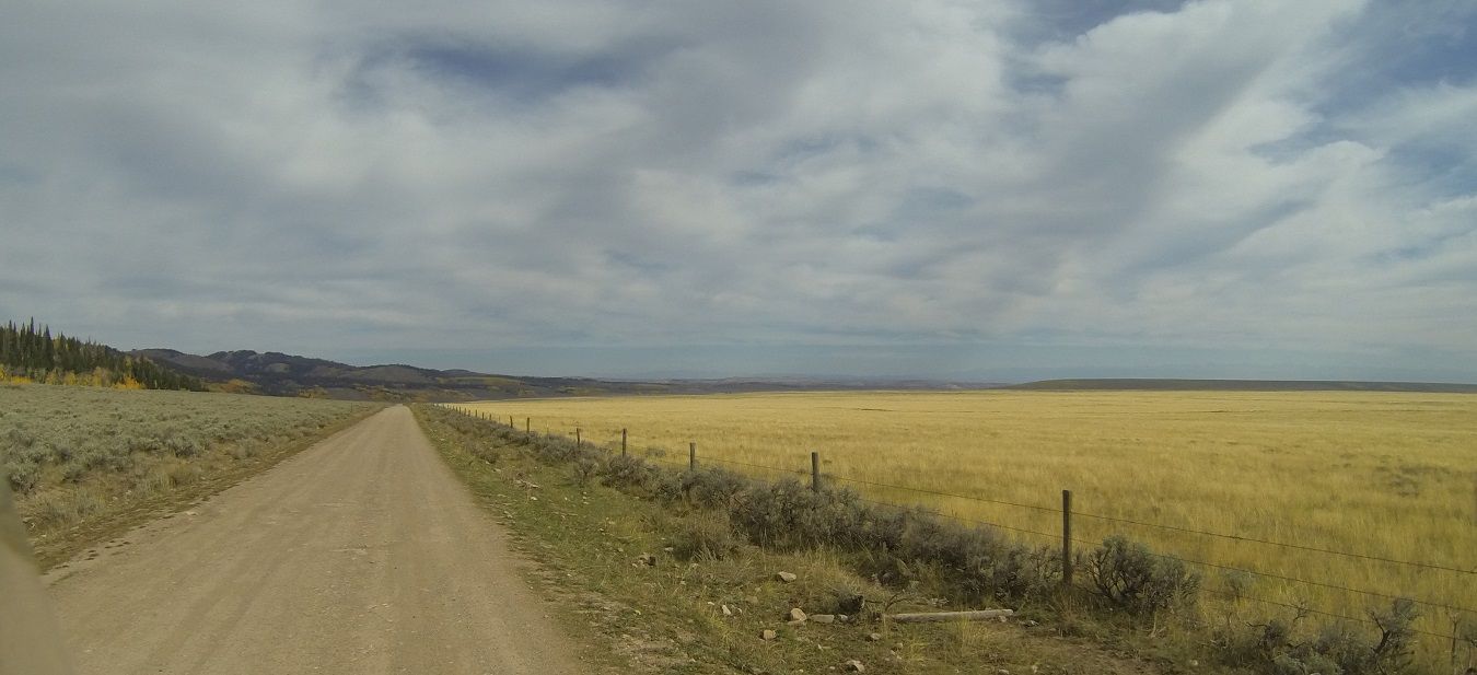
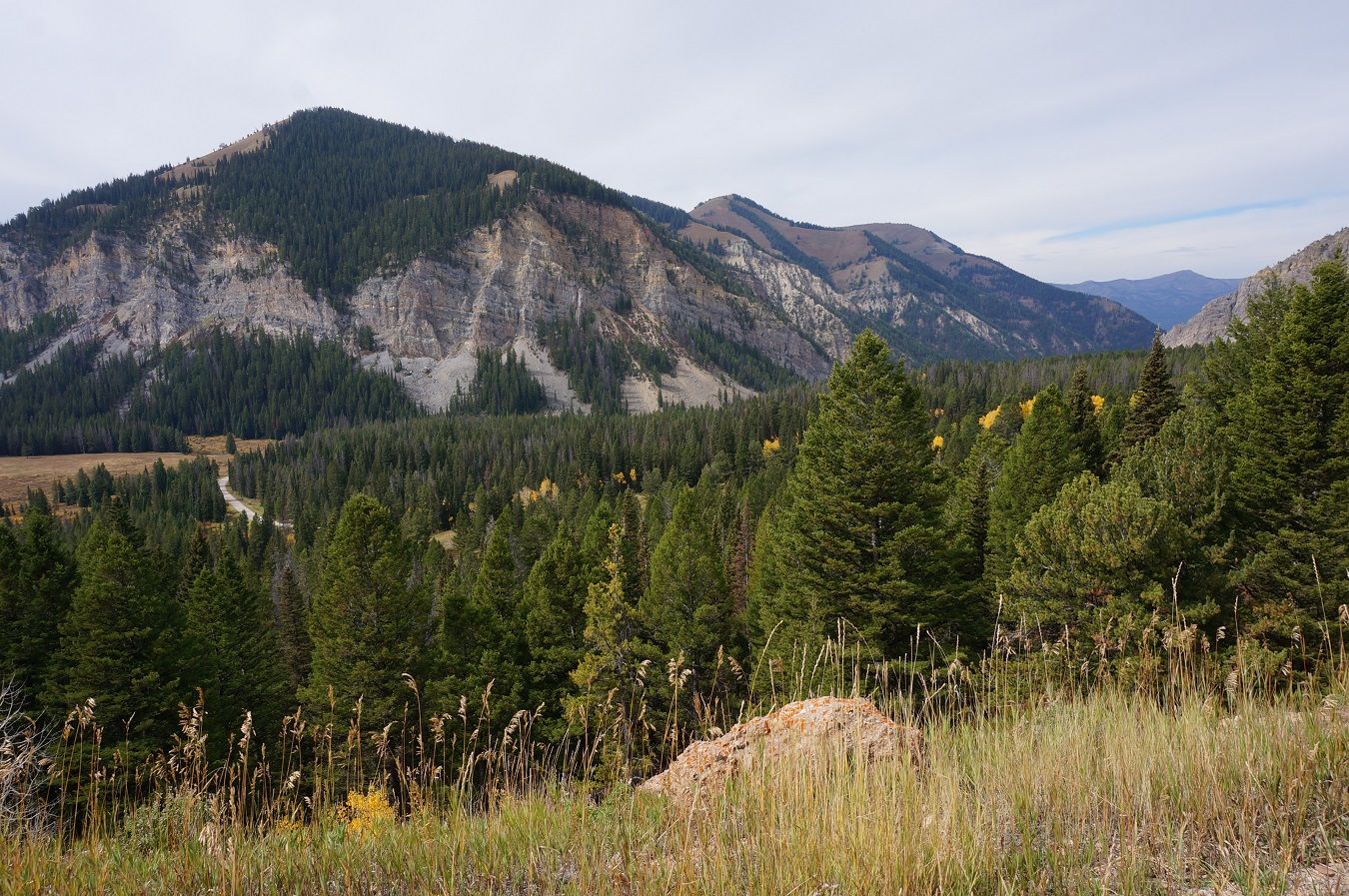
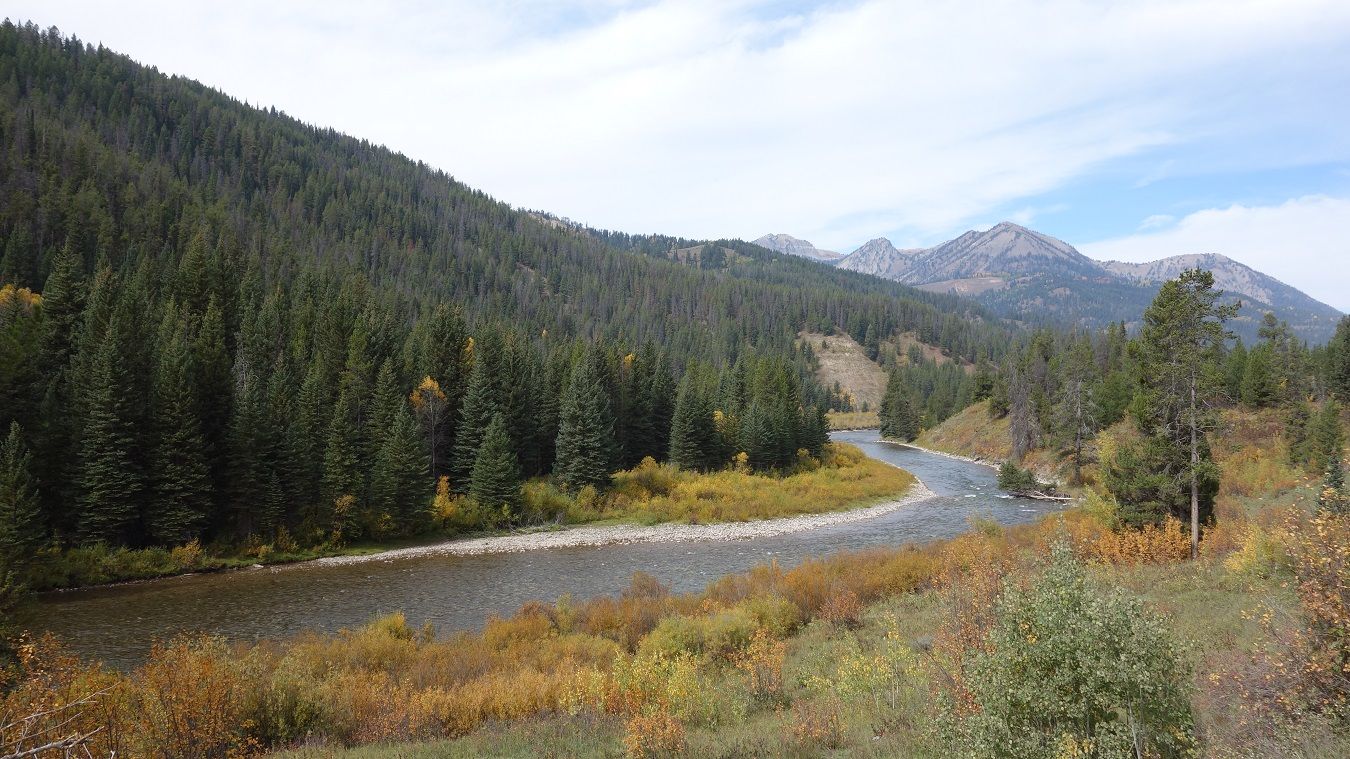
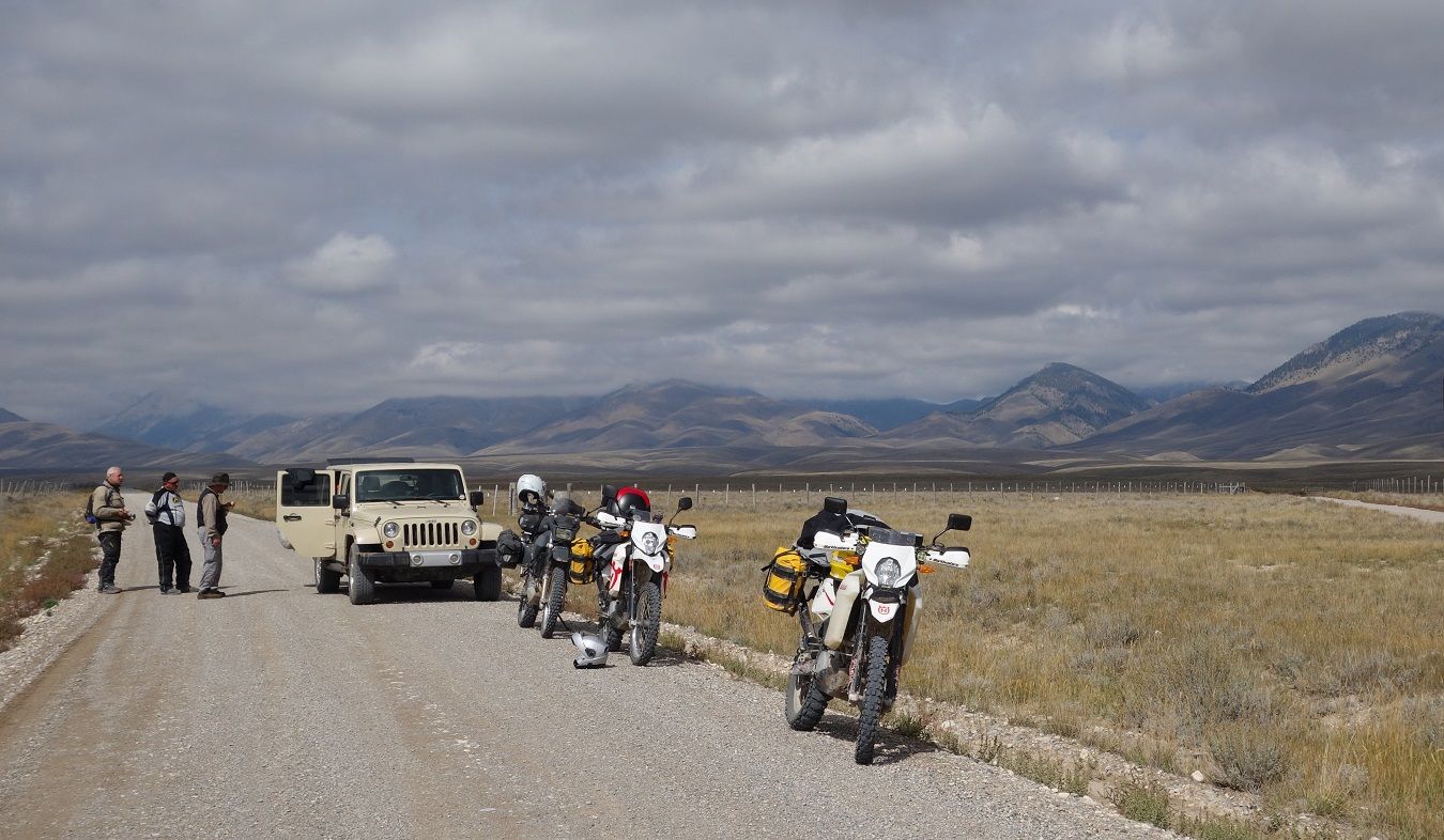
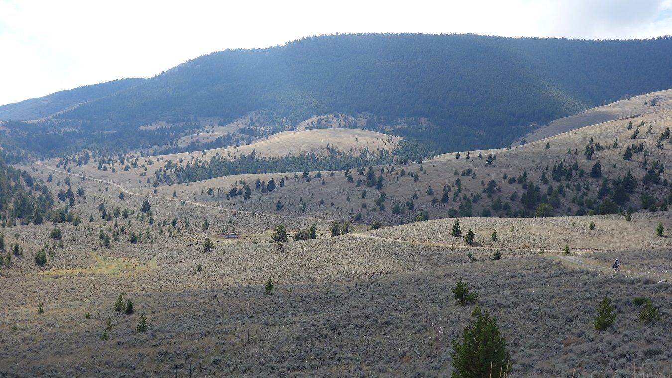
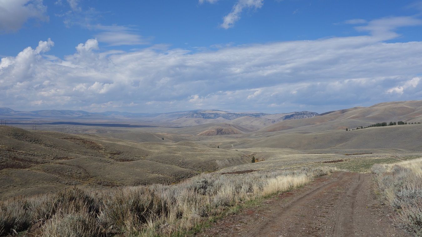
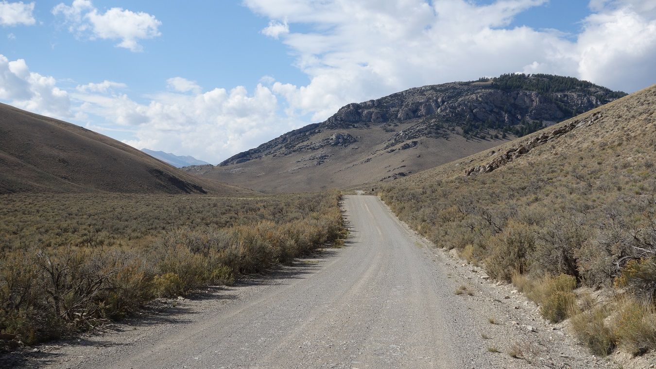
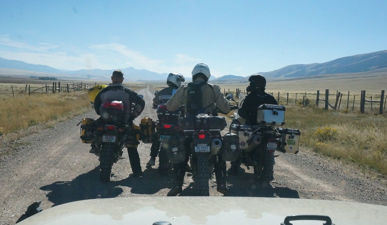
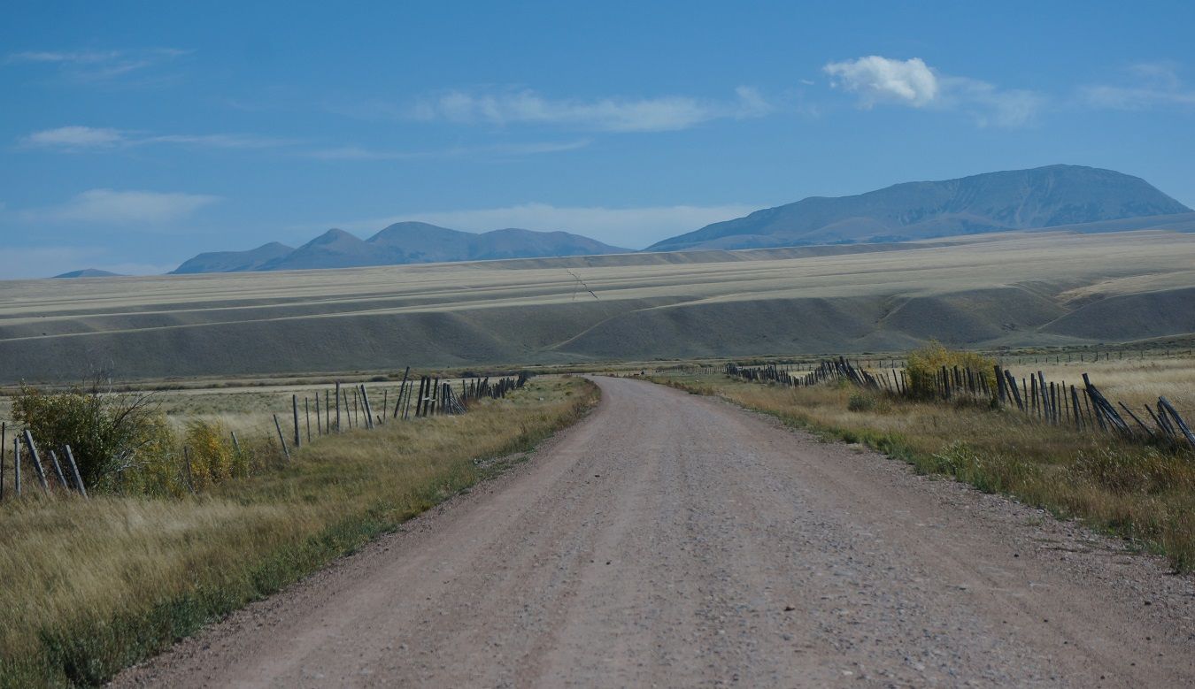
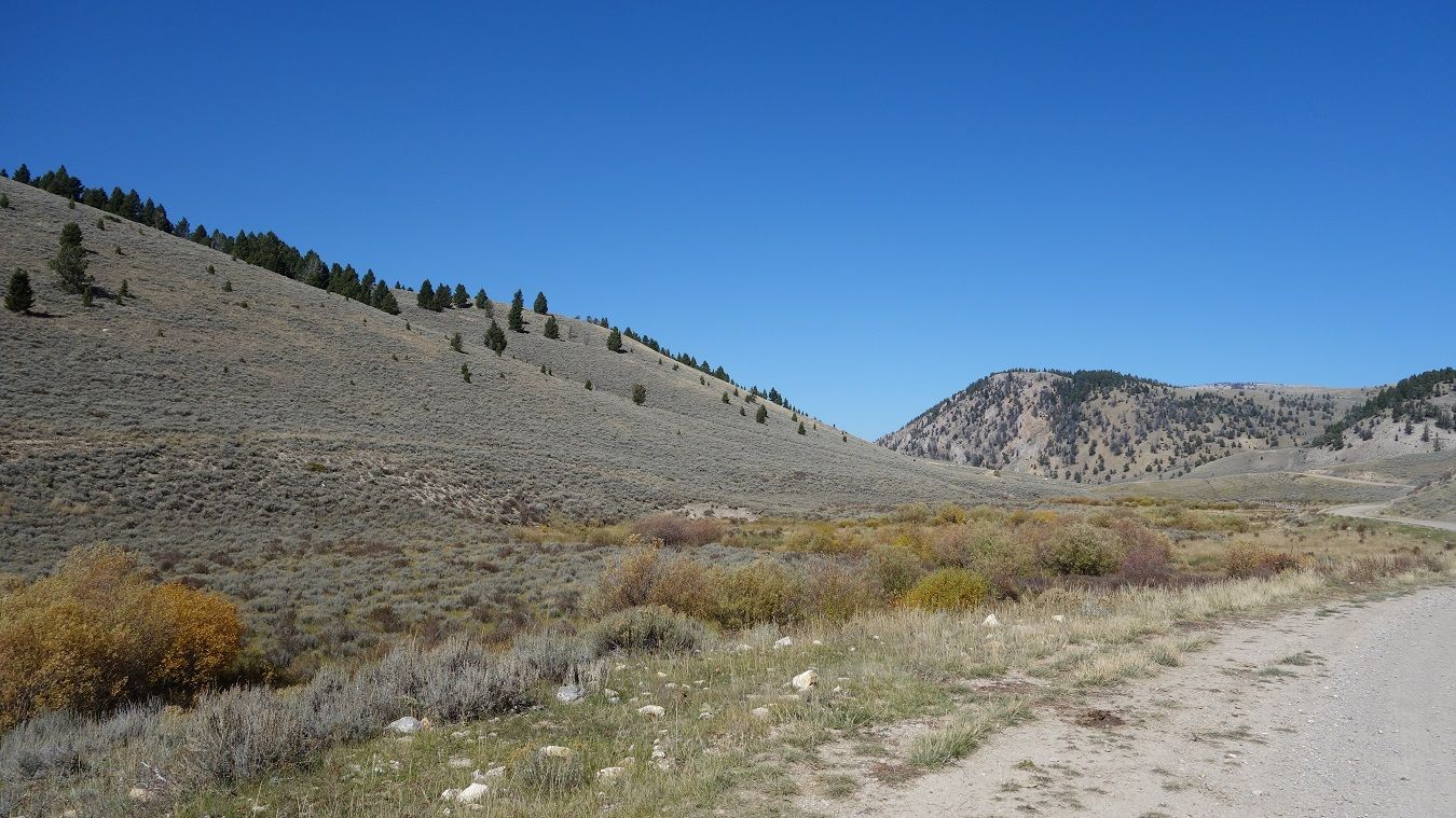
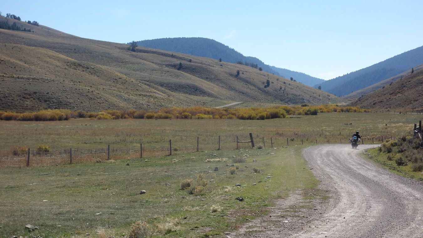
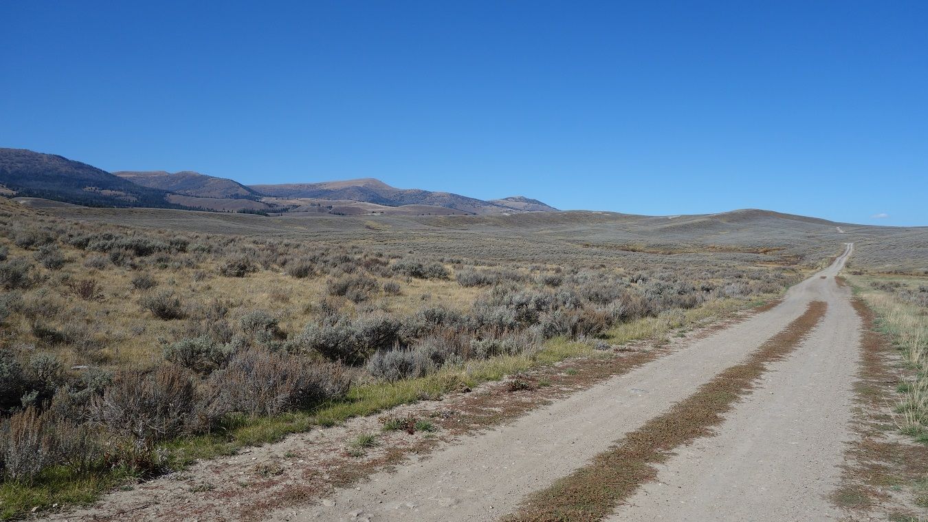
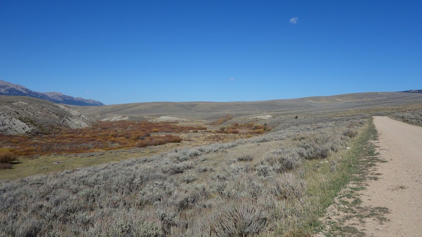
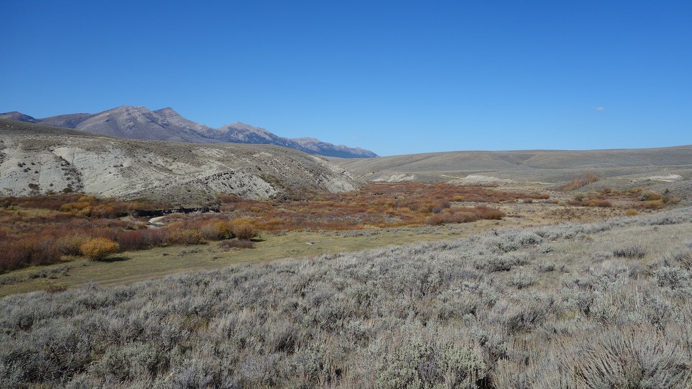
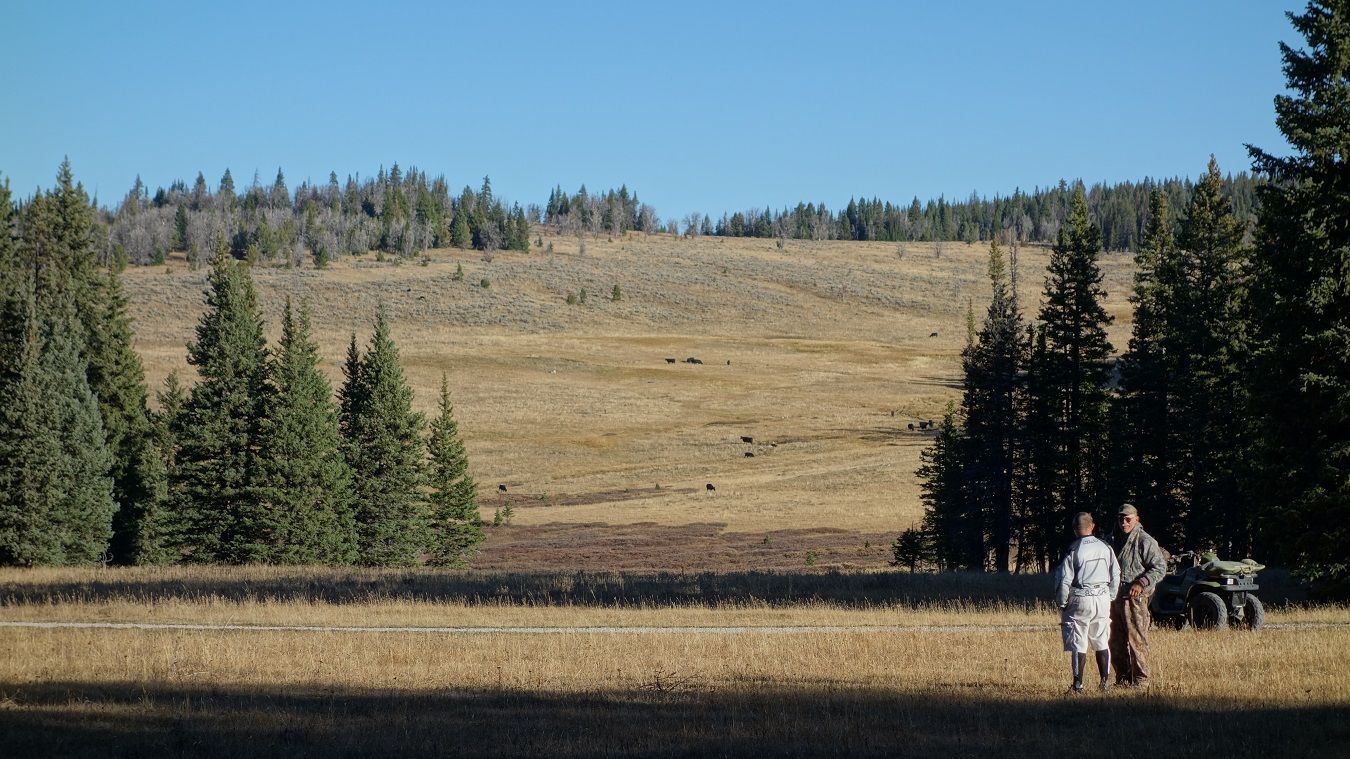
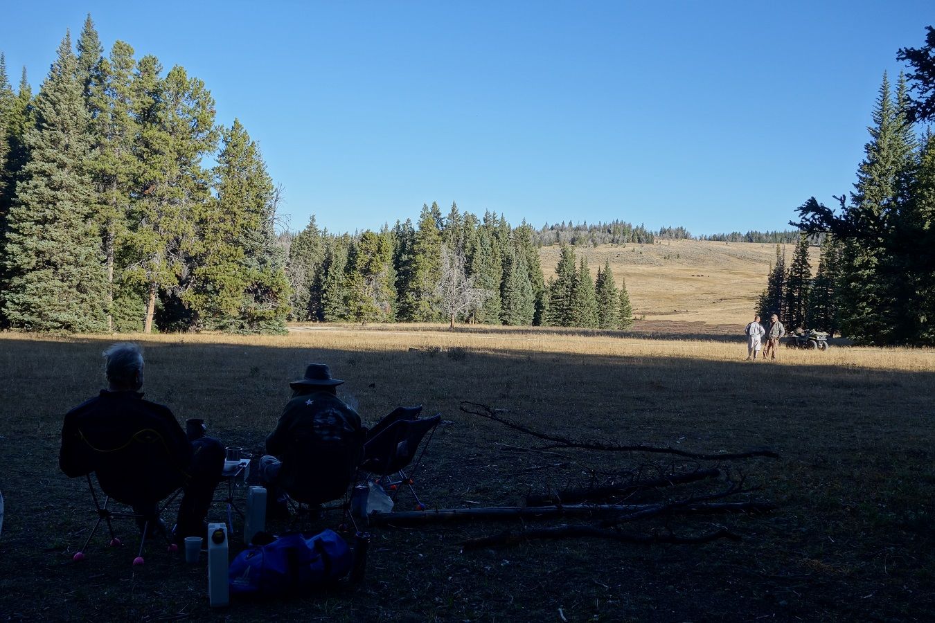
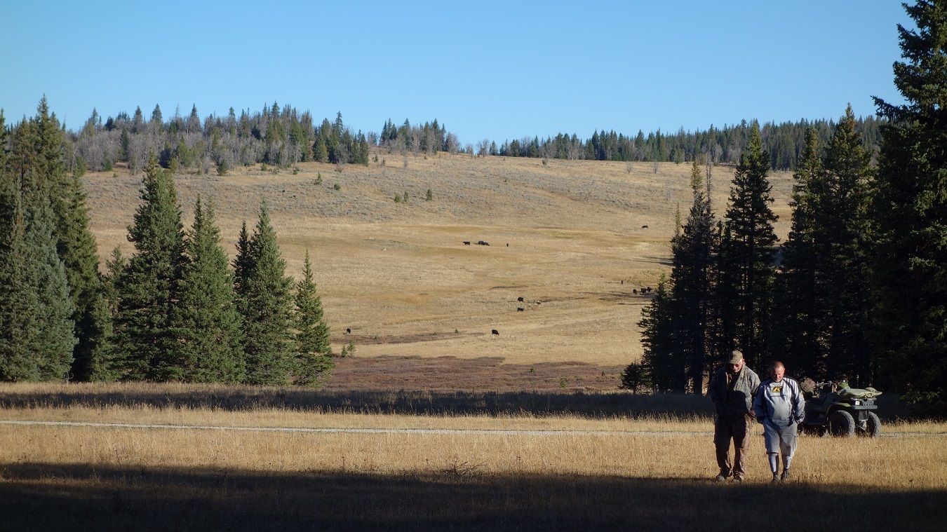
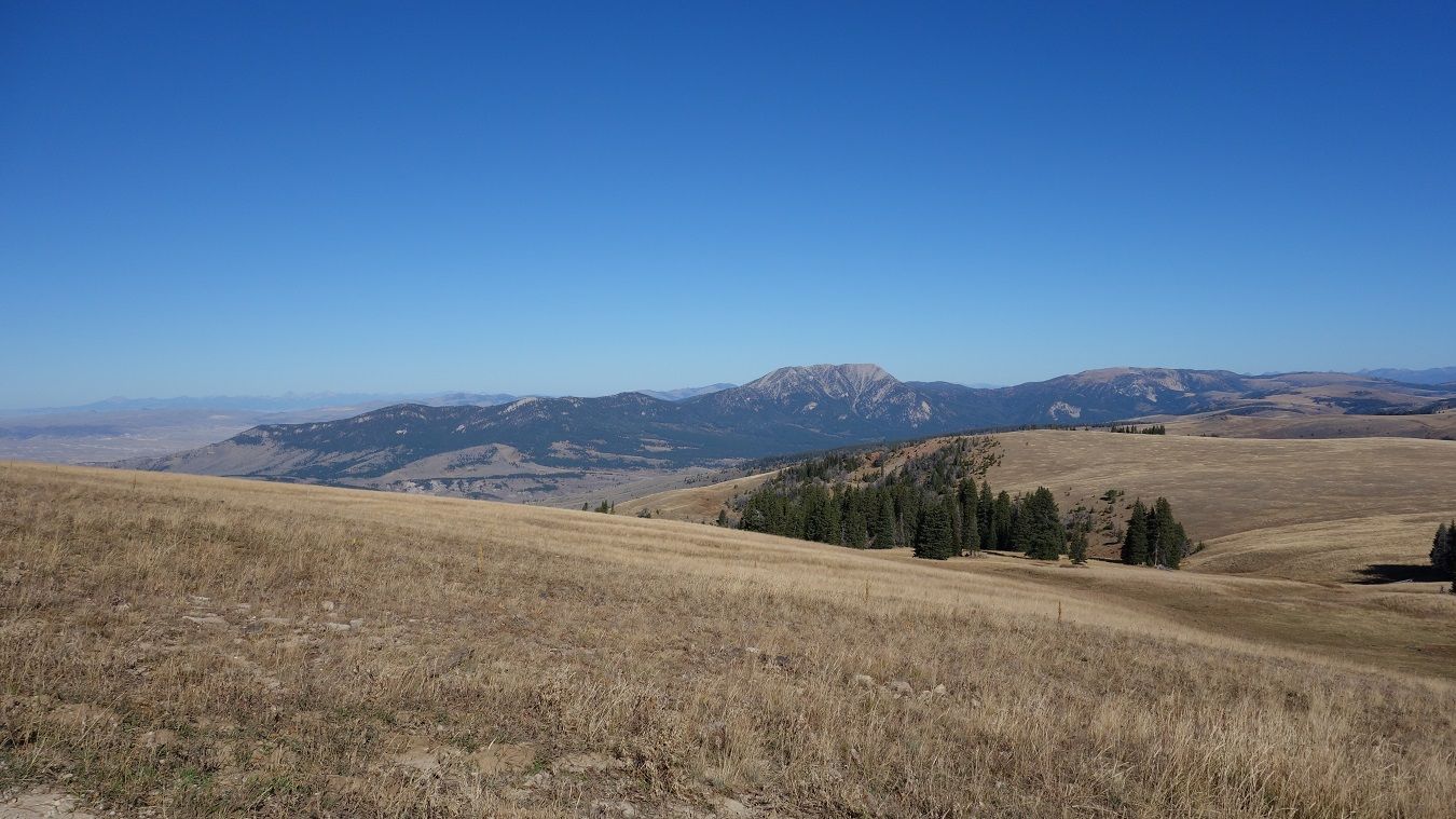
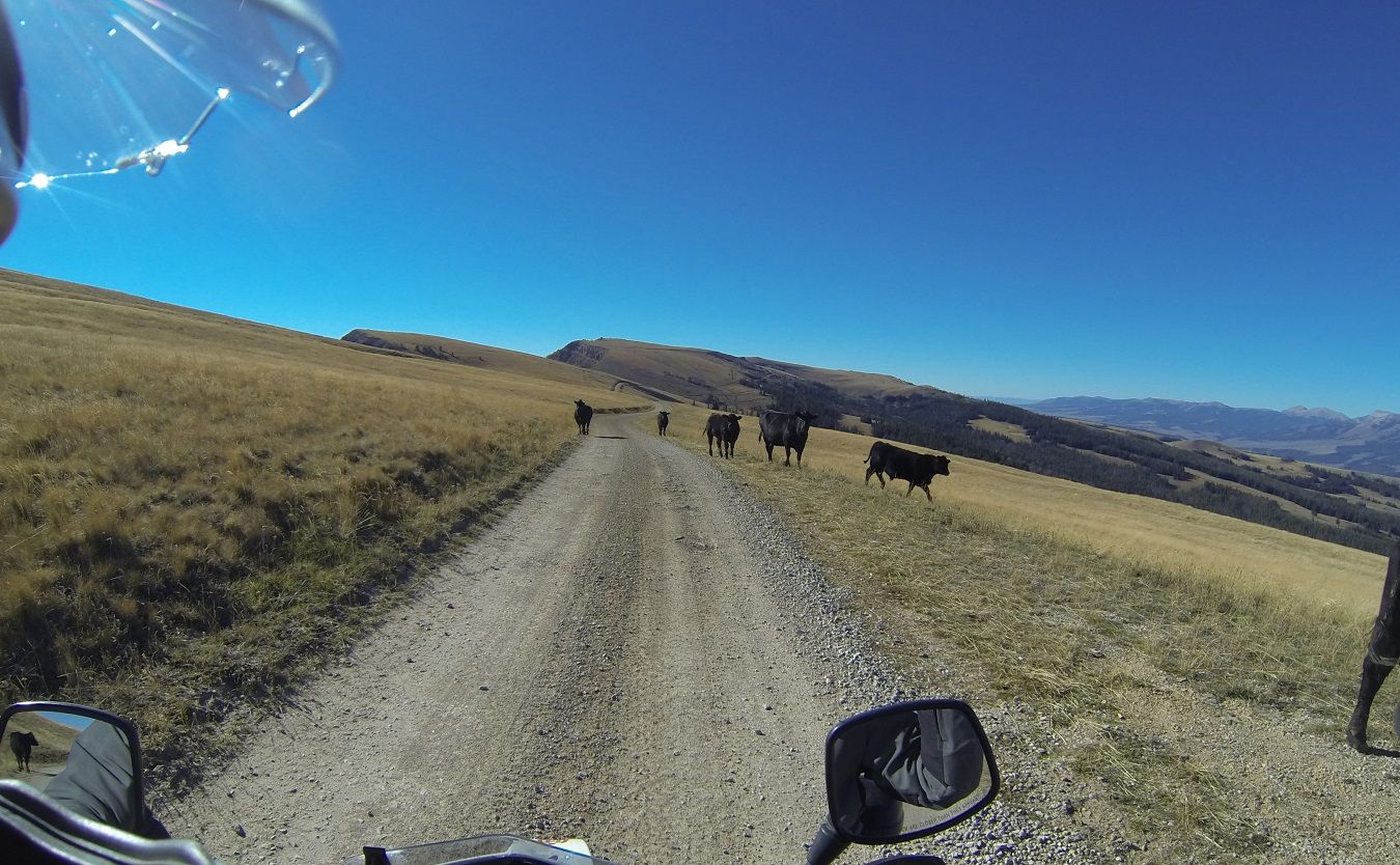
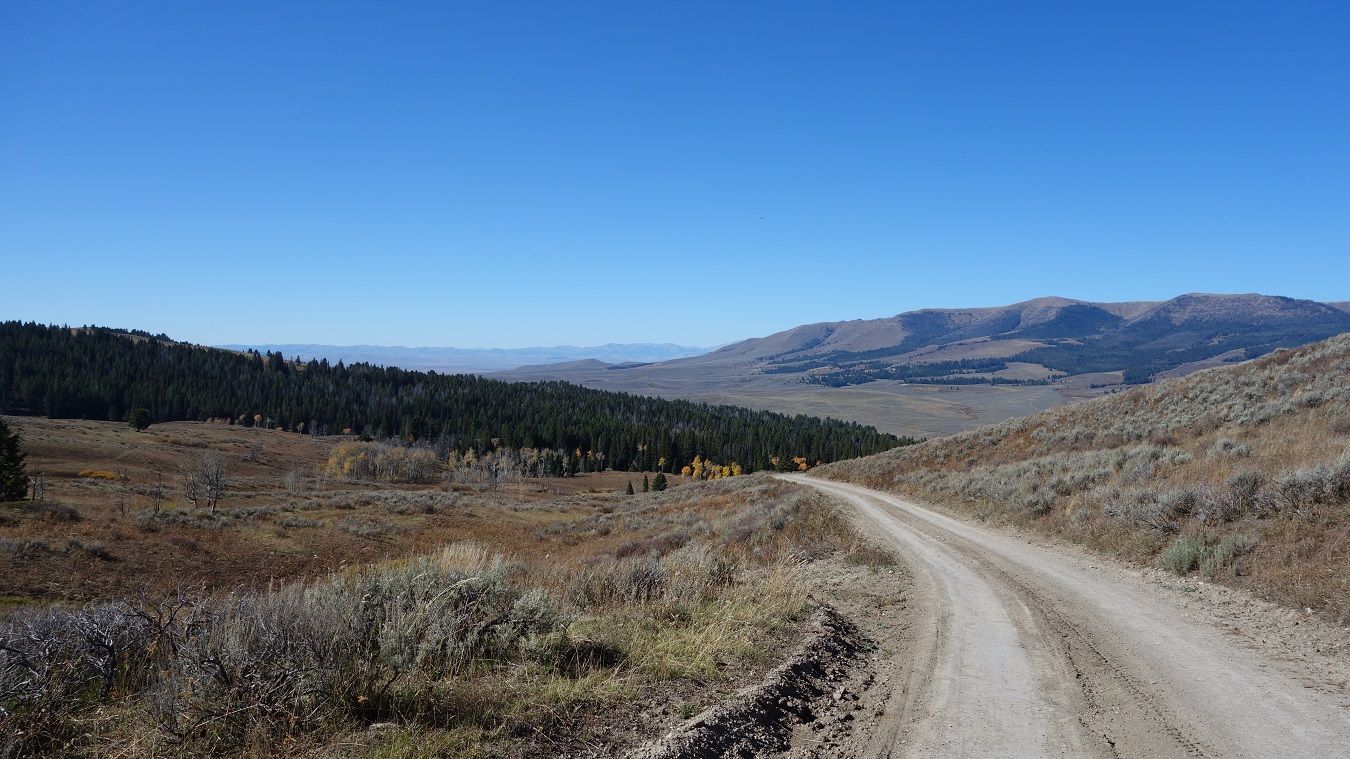
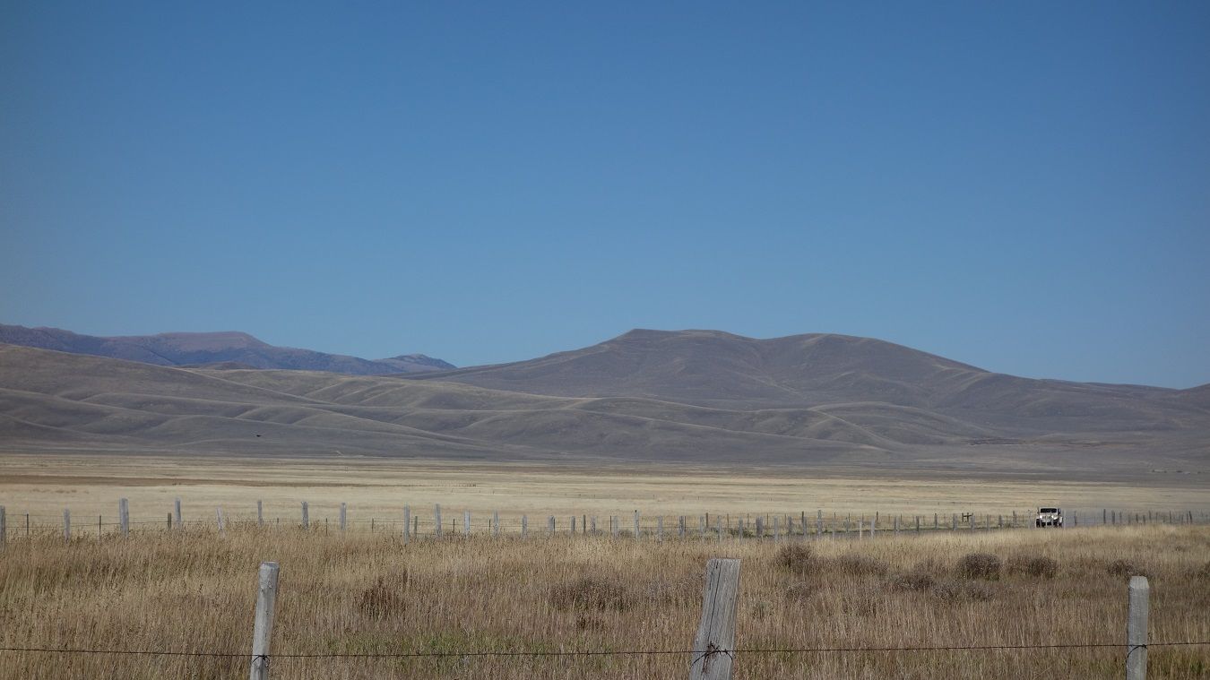
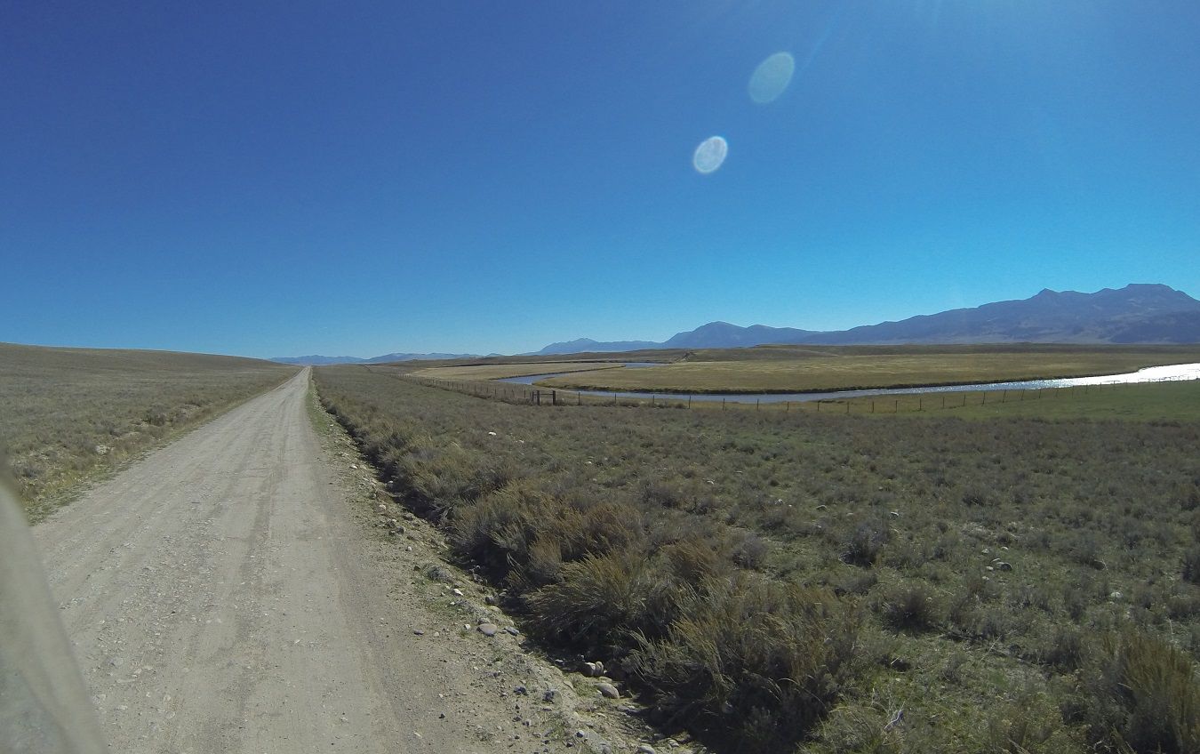
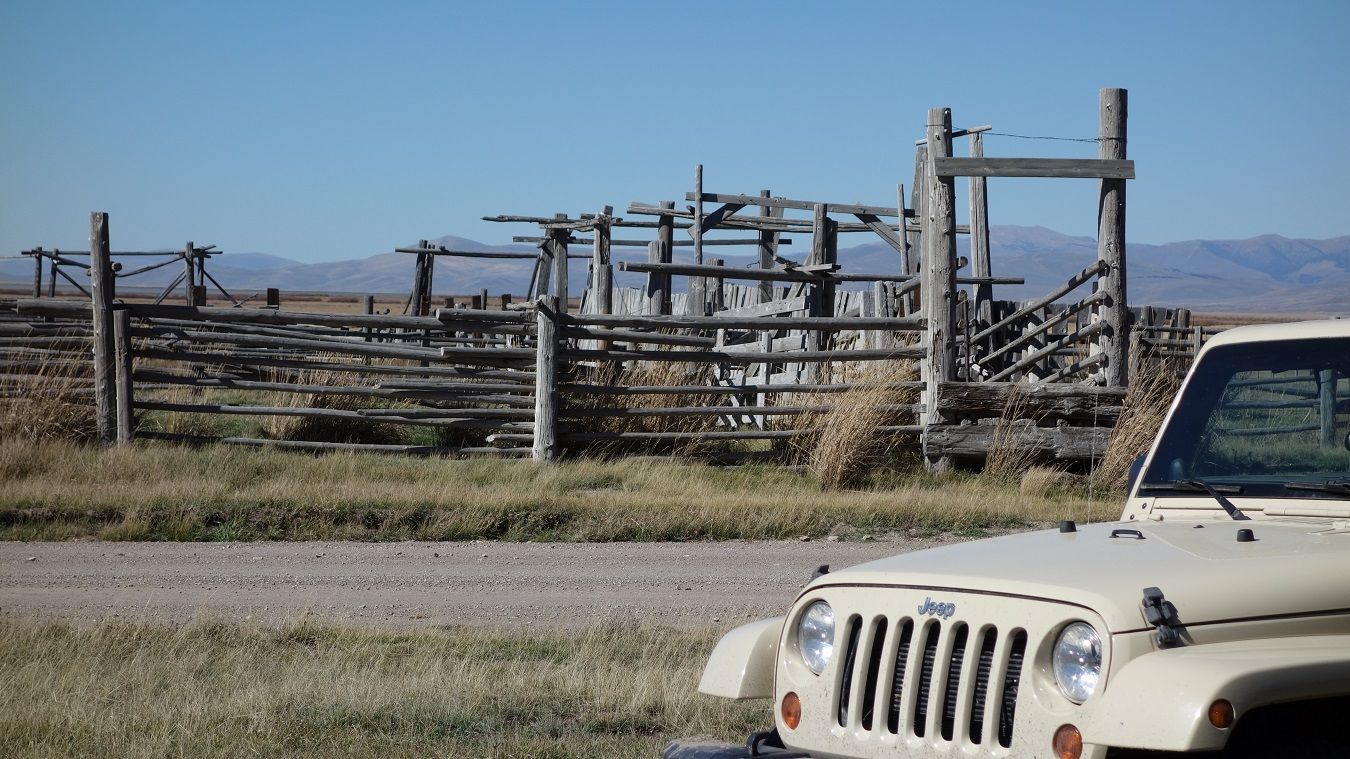
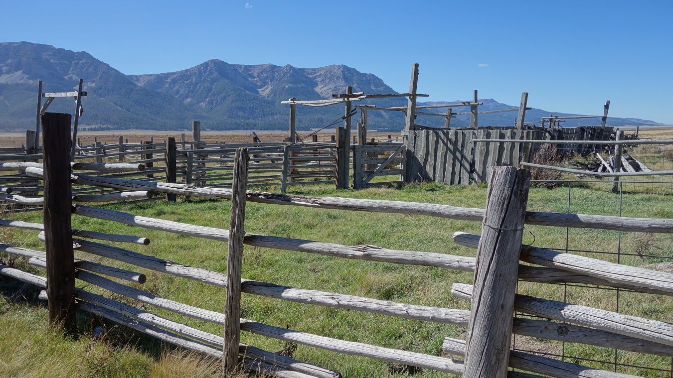
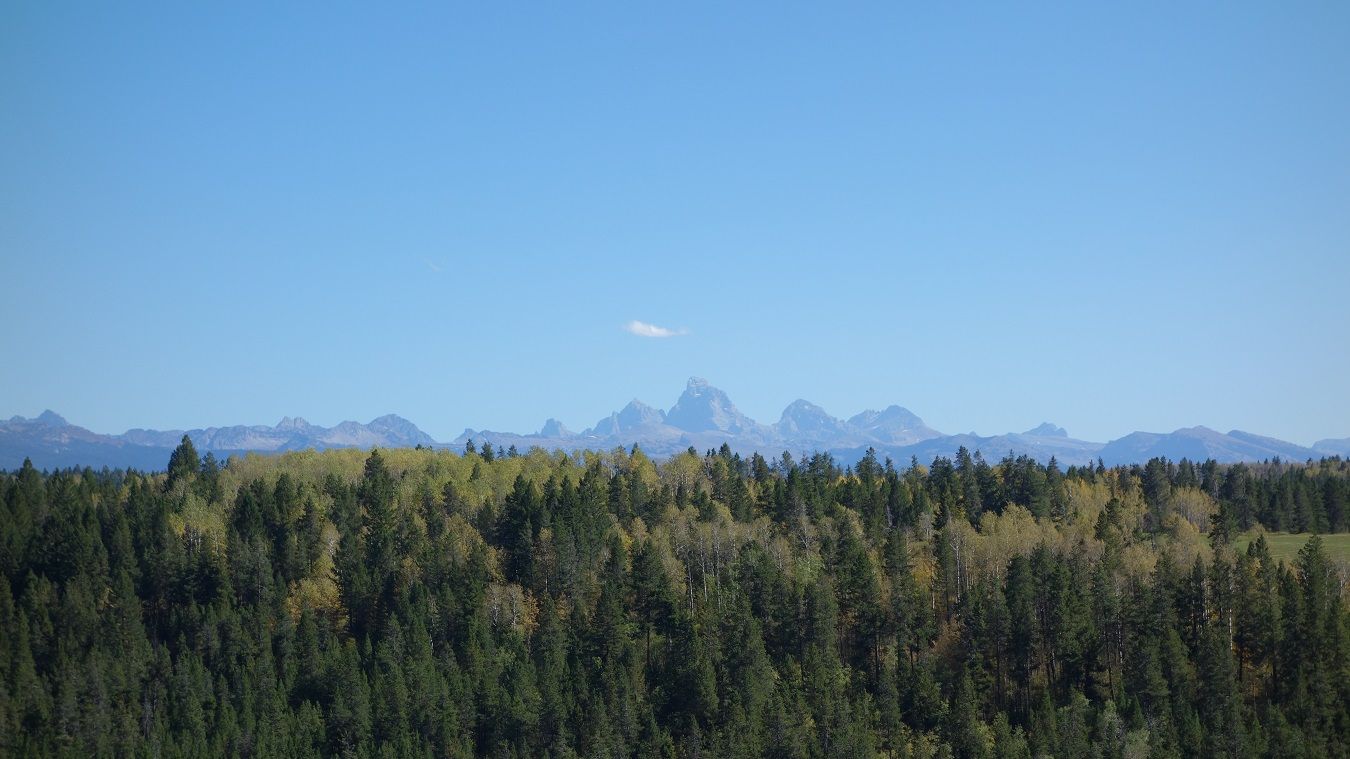
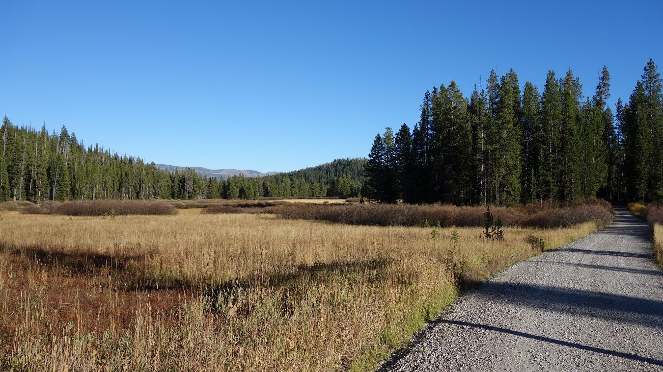
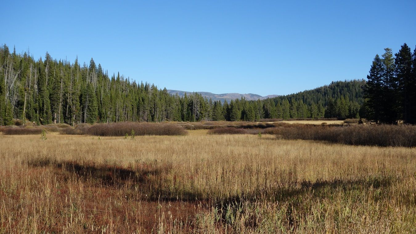
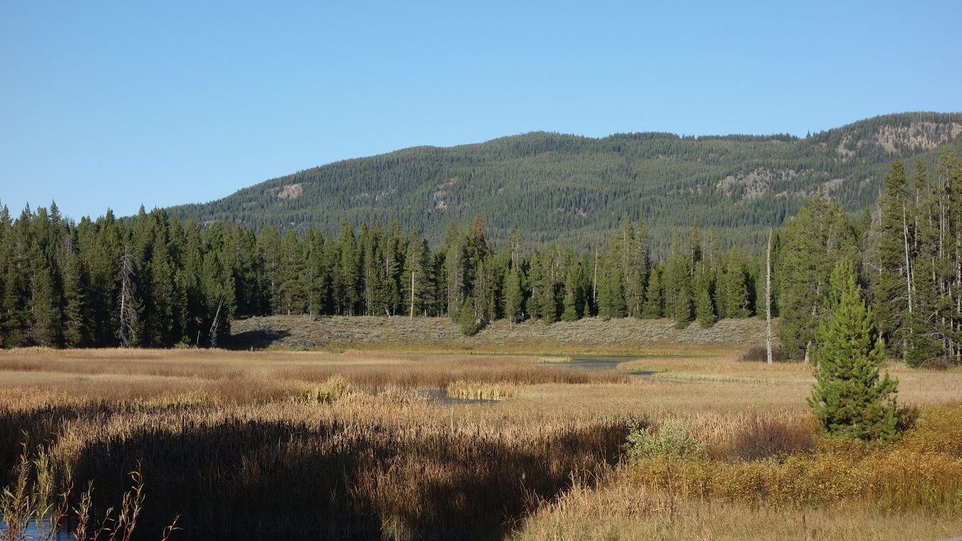
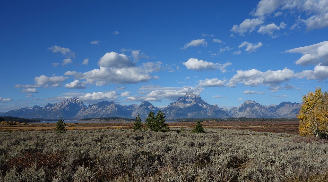
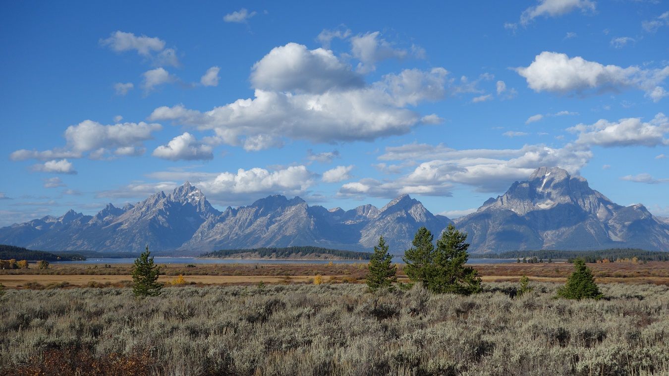
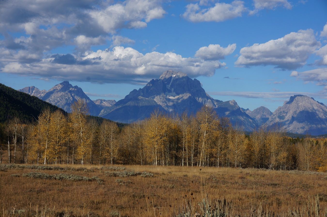
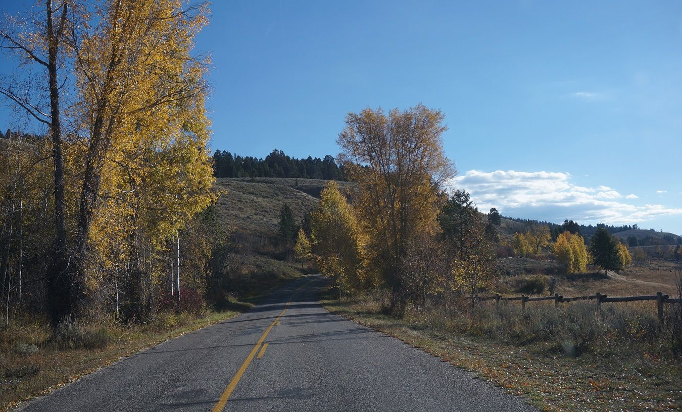
Back at the main track we stopped for lunch. We're heading for the mountains in the background.