Summer 2025 Road Trip - Roll with the punches

welikecamping2

Active member
The "Love Shack", the original summer camp. A Bed and a bathroom.

DSCF1165.JPG

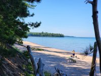
While there, we stayed in the Love Shack, the kids stayed in the little camp and our hosts stayed in the big camp. It was 3 days of absolute heaven.
20250707_170246.jpg
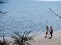
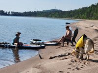
Private beach, perfect weather...
DSCF1177.JPG
20250710_093209.jpg
20250710_092311.jpg
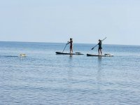
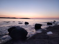
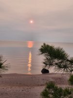
We had a couple of days of absolute glass. paddling was awesome. Chilling on the beach was awesome. The last day, smoke from fires in Canada affected the sunrise
20250711_071135.jpg

Alas, we had to depart this secluded oasis and head back to reality. The people in Laramie told me that the trailer should be ready in a couple of days. We decided to hammer-time the 1200+ miles back to Laramie. At this point in our trip, we were supposed to go back to Iron River airport, a private airstrip where we would camp for the night, then, on to Little Sand Bay in the Apostle Islands. Missing that was disappointing.
 
Last edited:

welikecamping2

Active member
The next three days we drove 400+ miles each day to get back to Laramie by Sunday evening. We would pick up the trailer in the morning, and start the real camping part of this trip. While in Laramie, the wife did some research and we found out about the Snowy Range Scenic Byway which leaves west out of Laramie and heads right up into the Snowy Range, that did not disappoint.

As close as we got to the Apostles, just east of Duluth. perhaps next time...
20250711_125002.jpg

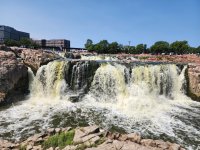
A stop in Sioux falls:
20250712_112722.jpg

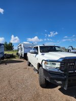
Picking up the trailer in Laramie
20250714_094037.jpg

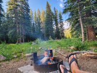
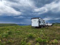
All of our social obligations met, we were finally back in the camper, ready for the woods.
 
Last edited:
welikecamping2

Active member
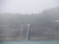
Before returning to our camper, we had an opportunity to explore the UP. We toured Marquette with it's interesting semi-industrial harbor and we had a chance to take the Pictured Rocks Boat tour. Pictured rocks are an interesting series of sandstone cliffs that are slowly eroding into the lake. Superior being fickle, our cruise was marred by early fog that sorta cleared up on the way back
DSCF1204.JPG

DSCF1227.JPG

DSCF1210.JPG

There is a hiking trail above the cliffs for a bit, and people can backpack to secluded beaches for camping. Kayaking and Paddleboarding is popular, but you have to be careful and constantly monitor local conditions, it can get snotty fast.
DSCF1257.JPG

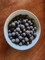
After our boat tour, we headed back to Marquette for some late afternoon wandering. This is an ore dock. Those big old freighters you see on the lake will sidle up to one of these to get a load of Taconite, or semi-refined iron ore pellets
20250709_172642.jpg
Taconite pellets
taconite.jpg
Here is an active ore dock, with a freighter taking on a load
20250709_221907.jpg

We got very lucky and caught an awesome sunset/moonrise from Presque Isle
20250709_215640.jpg
20250709_215543.jpg
20250709_220620.jpg
 

dstefan

Well-known member
We like the area up there, and have been thinking about heading up again in the summer (only been in the early fall in the past). Haven’t been there since the CA fires started to be an issue. You mentioned some high haze, but there have also been some times last year and this when I look at the smoke maps and it looks like that area around Marquette had some significant smoke. It’s so hard to tell from the smoke maps and the media how much impact on the ground there is. Did you have any days up there were the smoke was noticeable either visually or small at ground level?
 

welikecamping2

Active member
The last day that we were there, July 11, the smoke affected the sunrise, and with the glassy water made for some nice pics. We rolled out around 10:00 and headed west along 41. It looked foggy, but it was definitely patches of smoke drifting through. I'd say it cleared by the time we hit 141 and it was not bad at all. Even on the coast, and this was the only day we experienced it. It is really beautiful and we, too may be back next year.
 

welikecamping2

Active member
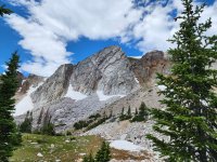
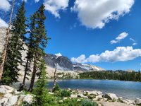
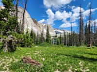
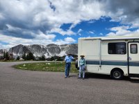
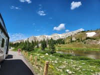
After picking up the trailer, we were ready for some camping. We headed west out of Laramie for the Medicine Bow mountains, aka the Snowy Range. This 26-mile scenic byway was designated in 1988 as the nation's second designated scenic byway. Leaving Laramie, you begin a climb through a large high-elevation valley. The entire area is an offshoot of the great plains, called the "Laramie Plains". This scenic byway started as a wagon road in the 1870's, widened and bladed in the 1920's it became the "Great Skyroad" Finally paved in the 1930's, today it winds over and through these beautiful mountains during a few short months in the summer. This is definitely the country we like.

Approaching the range, you travel 25 miles to cross this basin that contains the largest deflation canyon in North America. The "Big Hollow" is a meandering valley nine miles long, four miles wide and in places up to 200 feet deep. Created by wind erosion It has no natural drainage. Once you cross the basin you come to the "ghost town" of Centennial. We just drove right on through. Medicine Bow peak is just over 12k feet and the pass is at just over 10K feet. The new truck growled as it climbed as if to say "Piece of Cake"
20250715_115134.jpg
20250715_115405.jpg
20250715_110444.jpg
20250715_111436.jpg

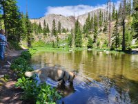
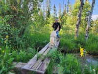
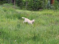
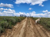
Recently we learned that Golden Retrievers like to fish for rocks. Finley will wade out to chest-deep, then try to reach down and grab a rock off the bottom. When he is successful, he is very proud of himself.
20250715_113426.jpg

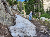
Finley also got to meet snow for the first time in his life
20250715_110724.jpg
 

Forum statistics

Threads
189,927
Messages
2,922,303
Members
233,083
Latest member
Off Road Vagabond
Top