mercier@streetsmart.ca
Expedition Scout
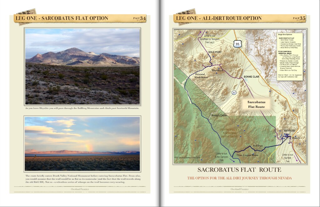
Leg 12 –Echo Canyon to Lees Camp and the on the Abandoned T&T Railway to Rhyolite
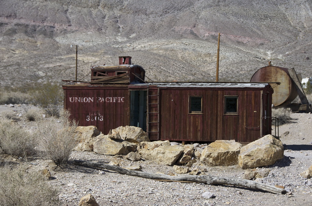
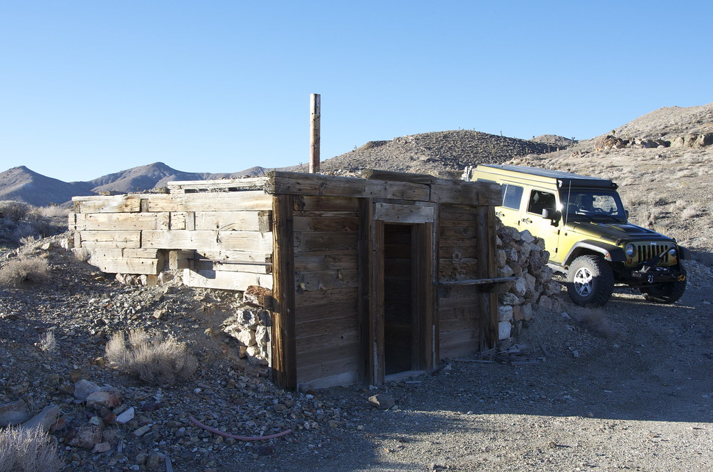
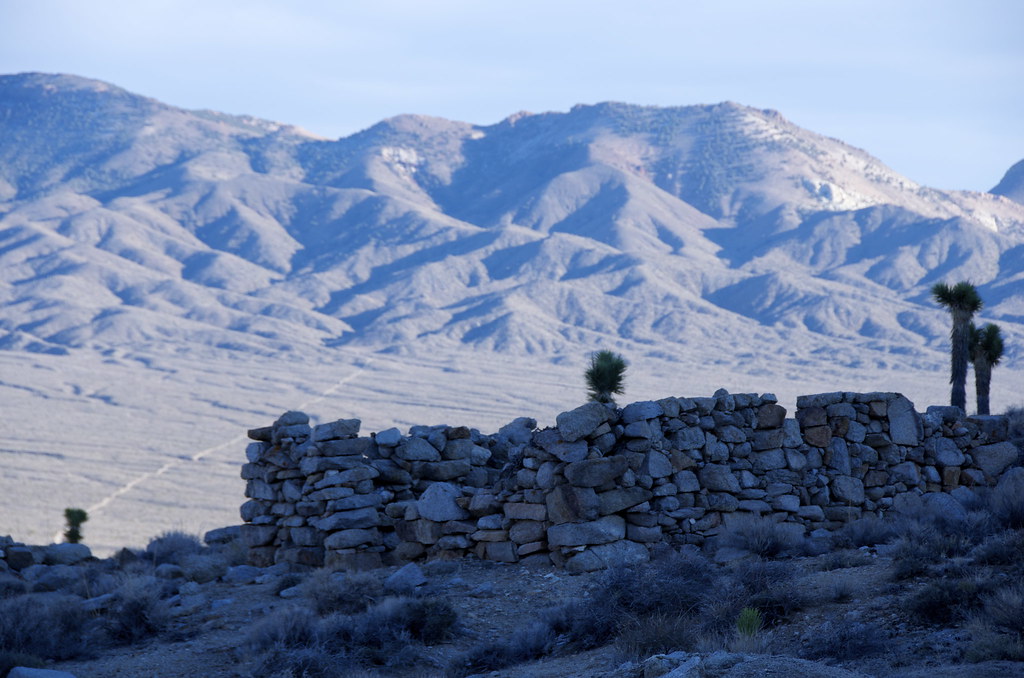
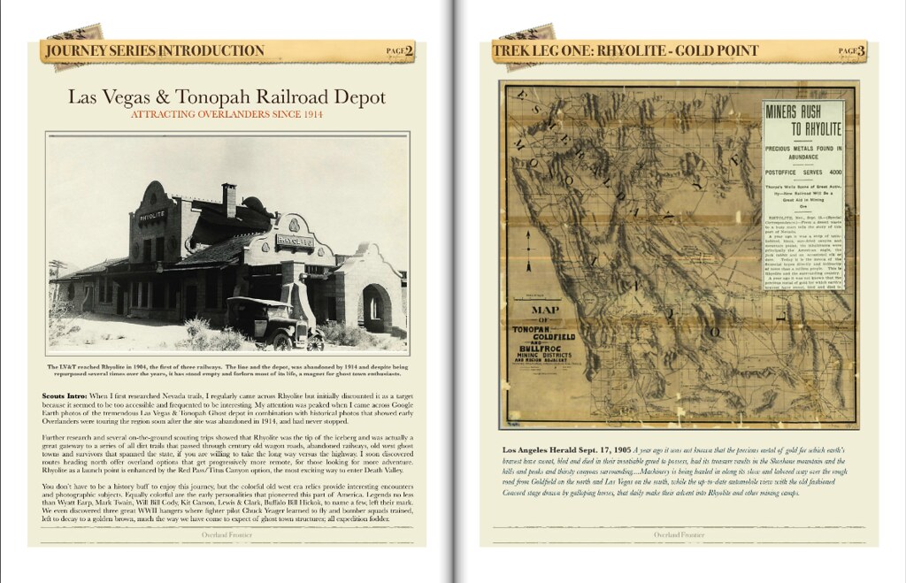
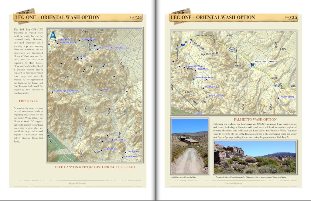
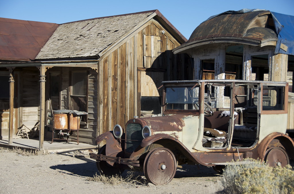
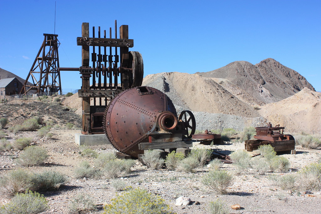
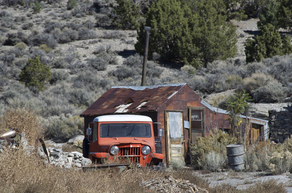
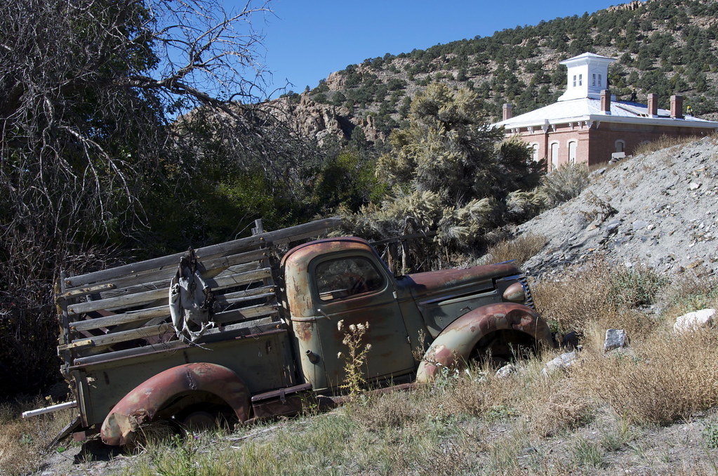
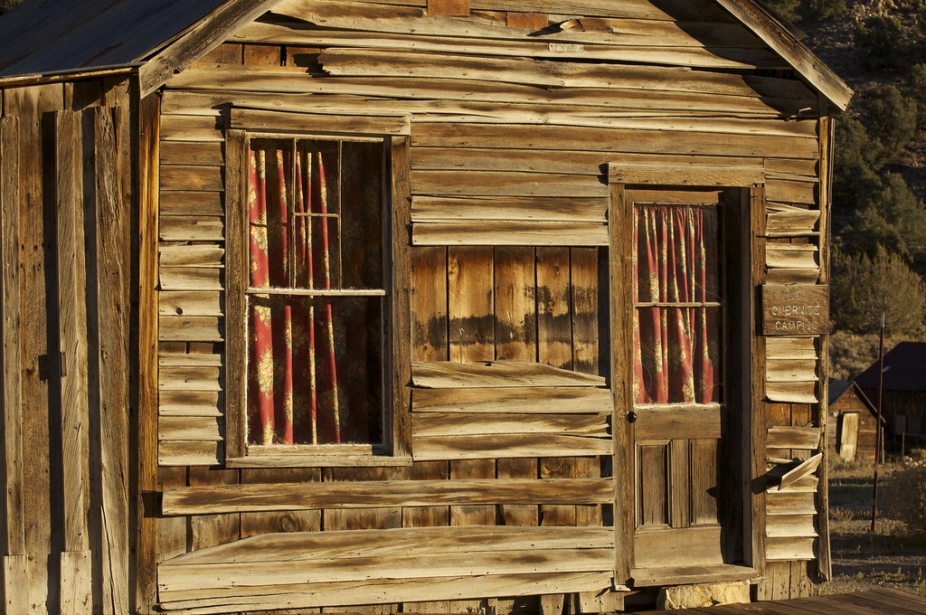
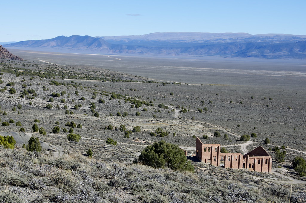
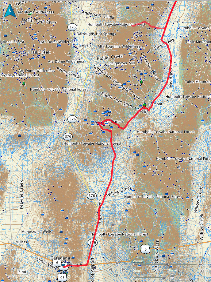
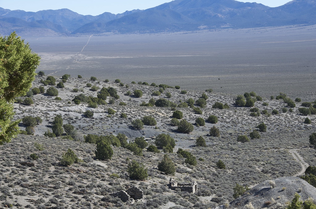
From Inyo Mine turnoff the trail heads northwest to Lees Camp ghost town, where the route crosses the abandoned Tonapah and Tidewater railway heading north and south, one of three rail lines that rushed towards Rhyolite at the turn-of-the century, the commercial hub for the Bullfrog Mountain Gold Rush.
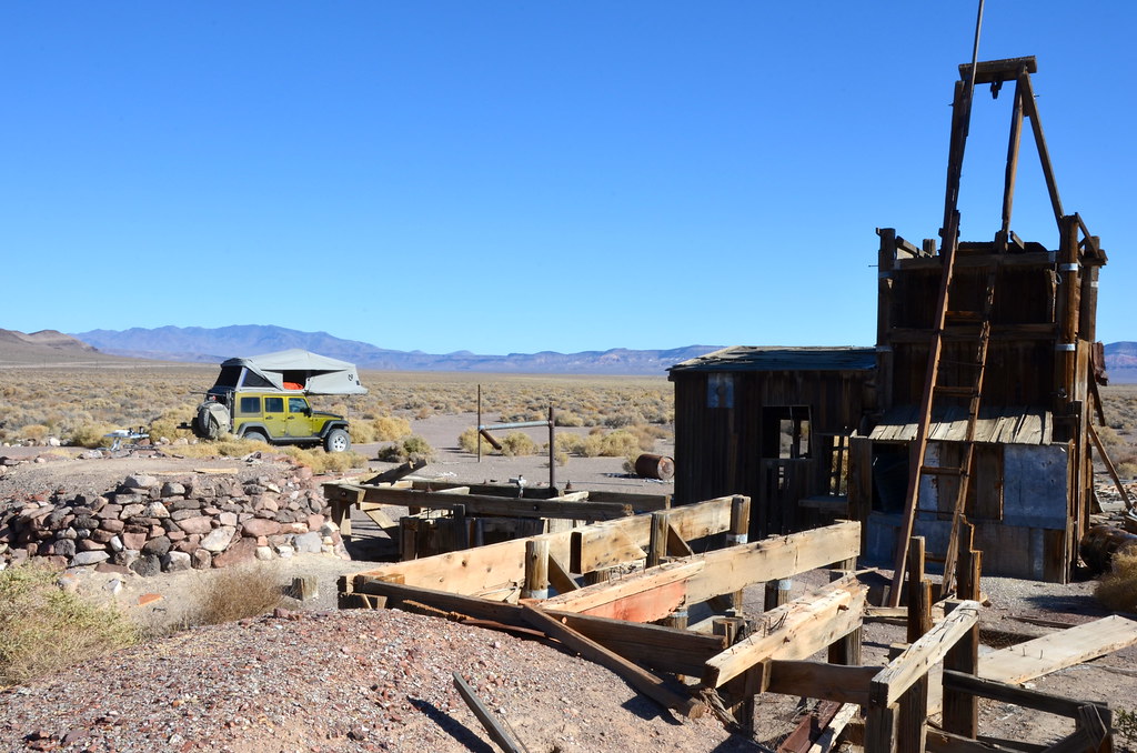
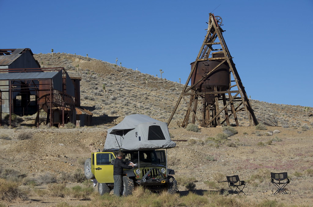
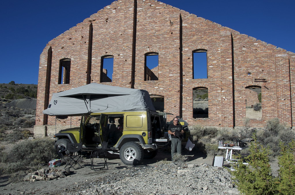
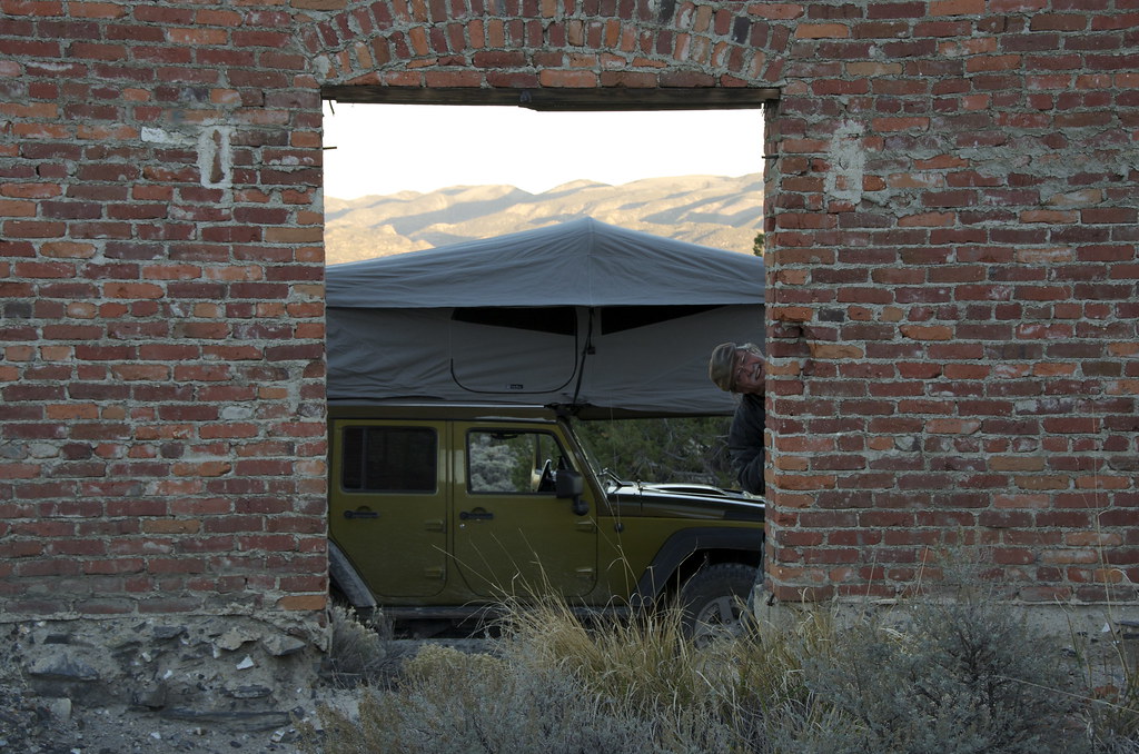
Just past the Amaragosa turn-off, an Adventure Trailer and a series of tents raised hopes that I might encounter other Overlanders to share some trails and tales, but I did not see a soul on the back-roads until reaching Ryholite.
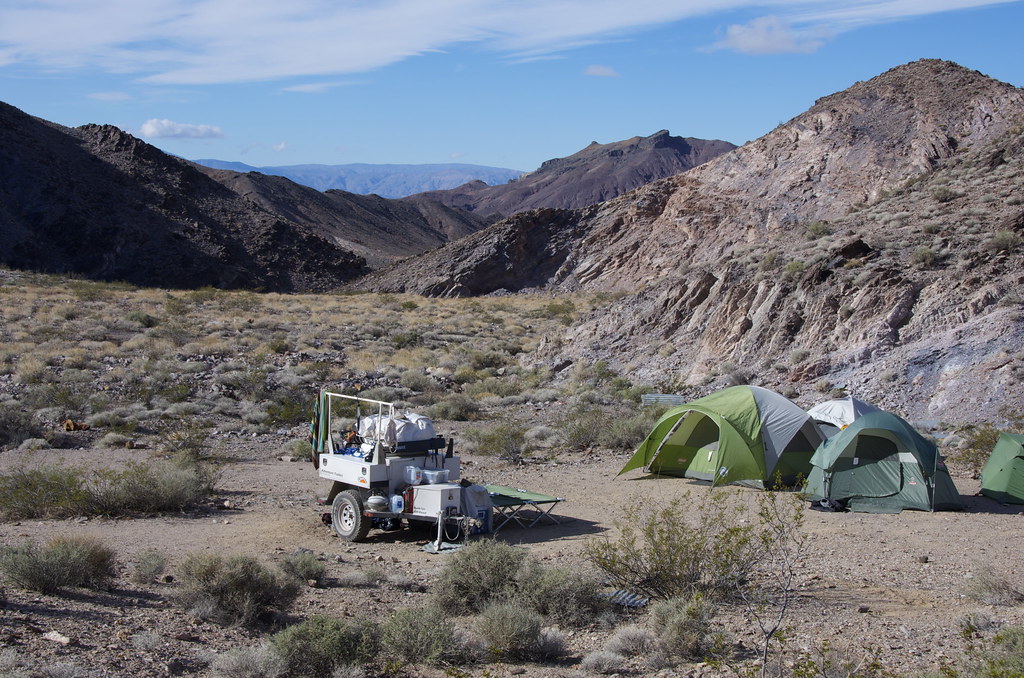
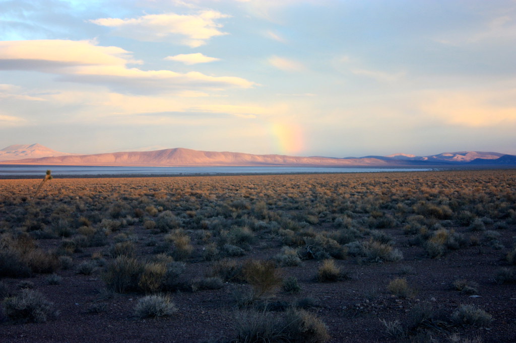
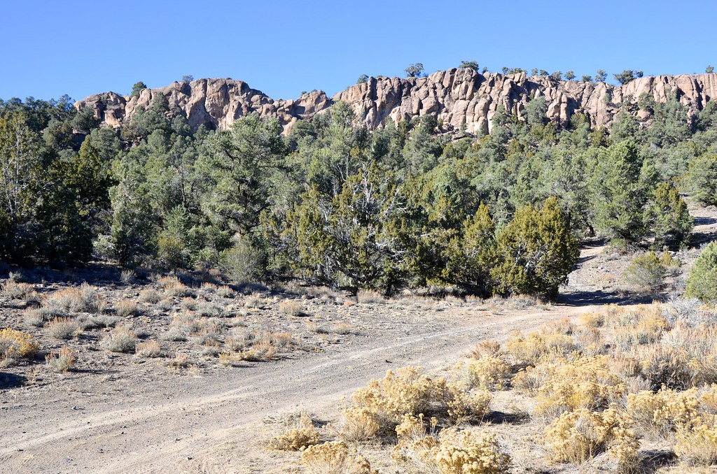
Base Camp Near Inyo Mine and Armagosa Road Junction by Overland Frontier, on Flickr
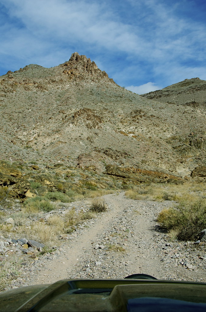
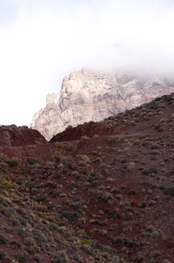
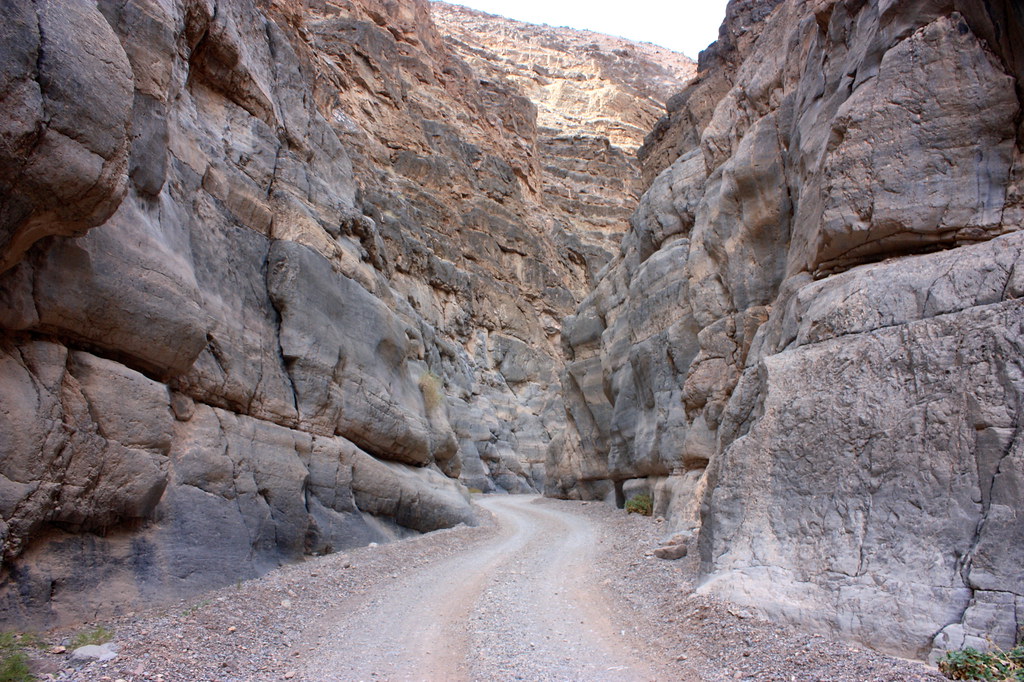
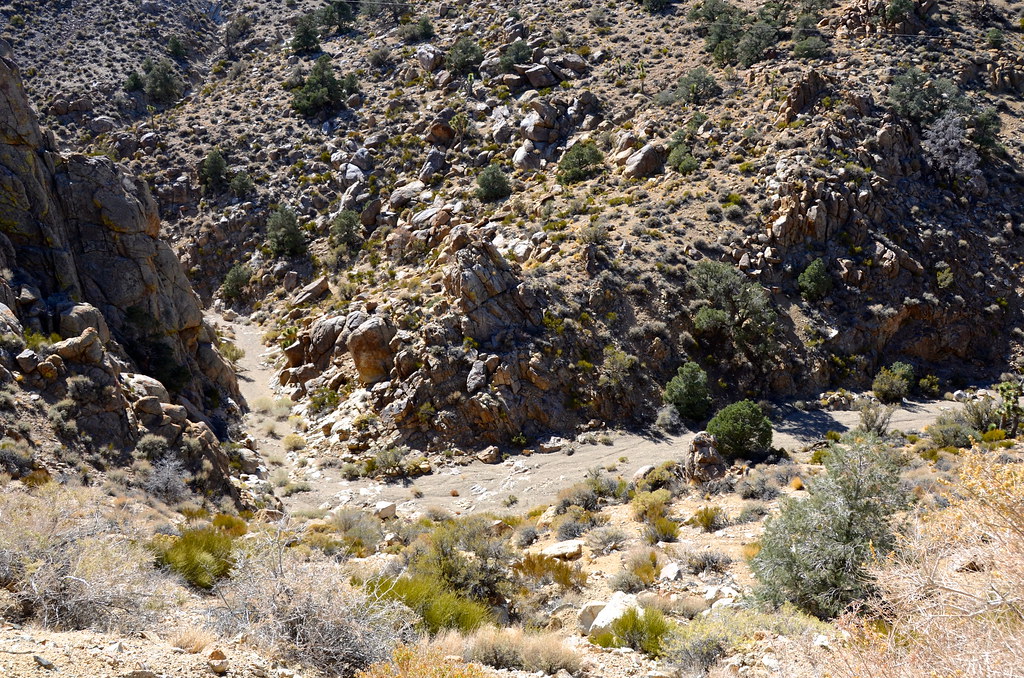
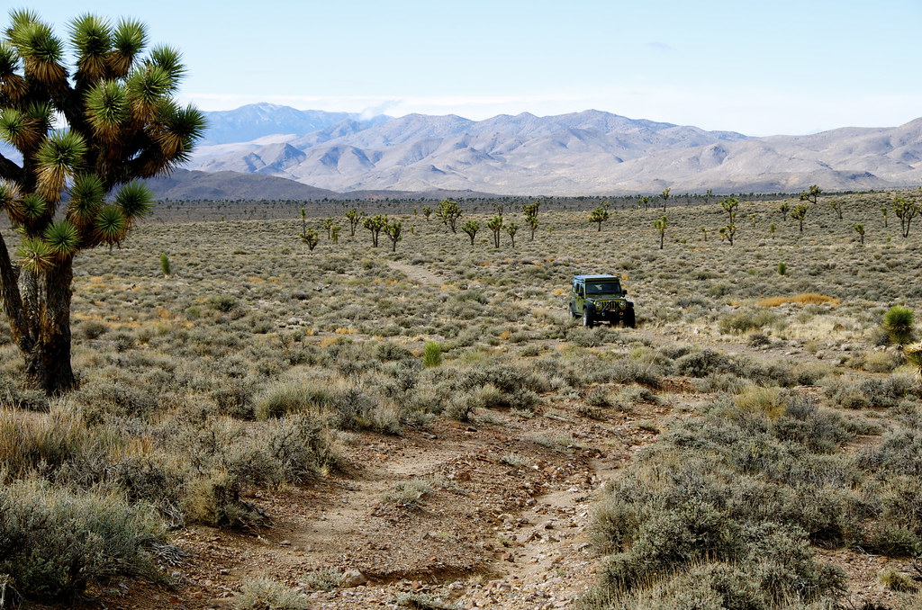
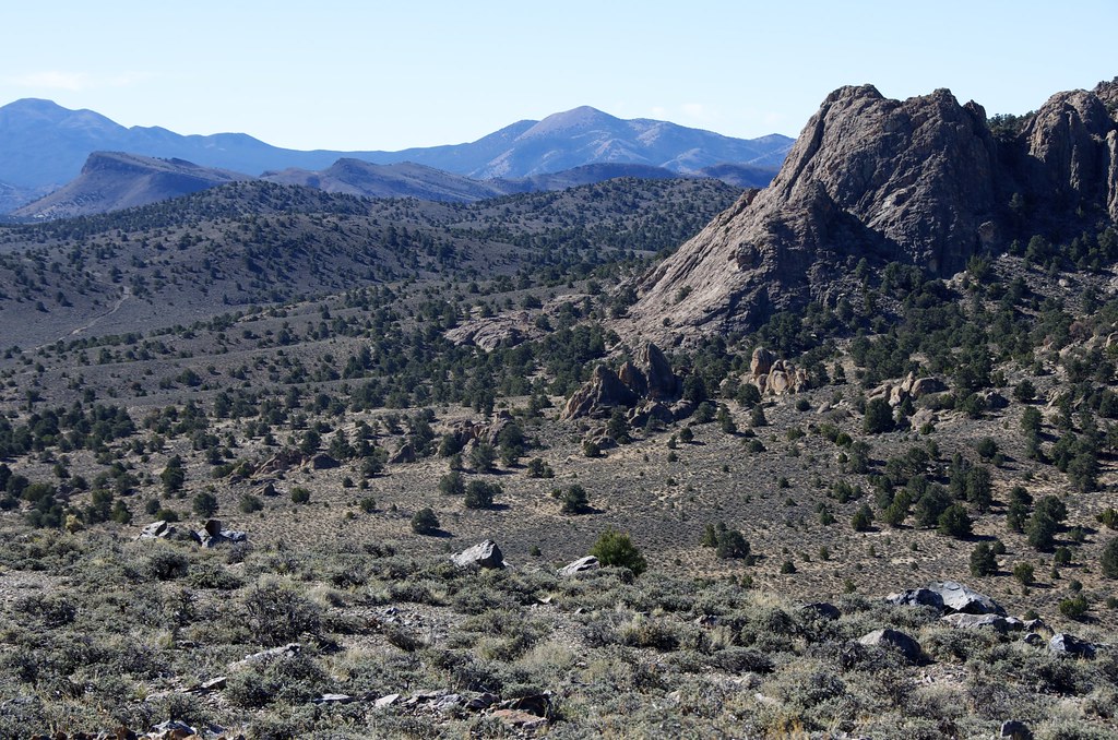
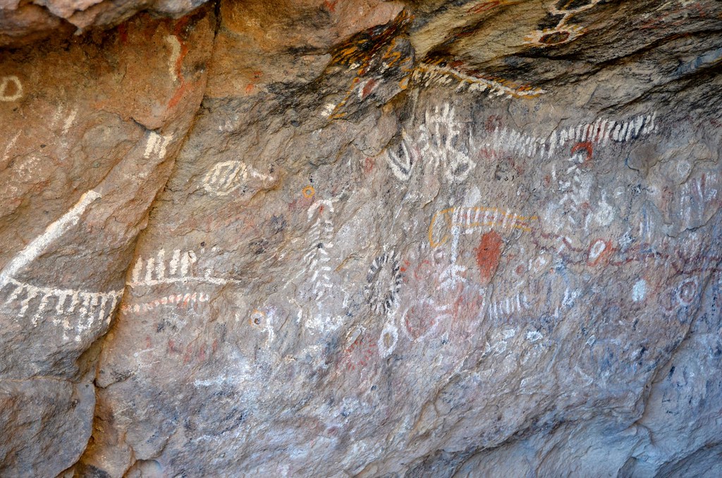
Death Valley Wilderness Canyon by Overland Frontier, on Flickr
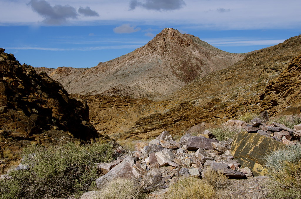
Death Valley Wilderness Canyon by Overland Frontier, on Flickr
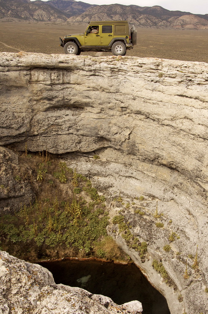
The pass trail is rated difficult, primarily because of a short waterfall obstacle that requires good ground clearance and careful tire placement. I did use my rear locker to avoid any unnecessary strain, given I was traveling this section alone, but the trail looks quite passable without lockers, for experienced drivers.
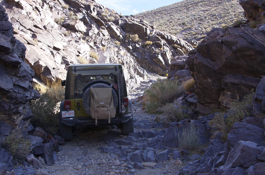
Waterfall Obstacle on Lees Camp Road by Overland Frontier, on Flickr
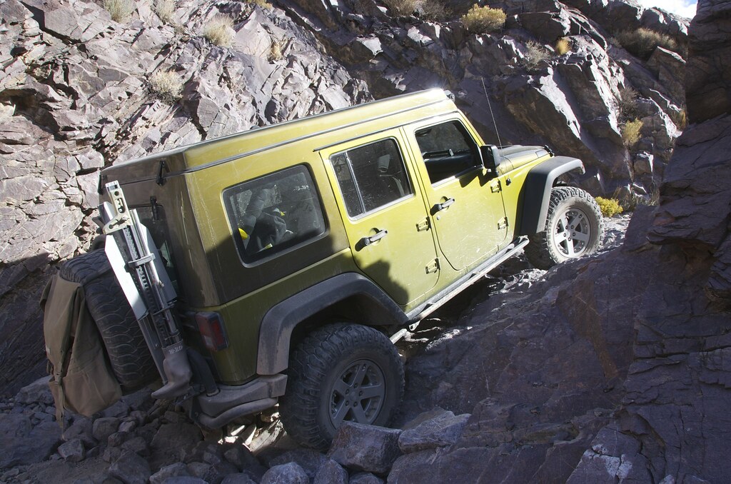
Waterfall Obstacle on Lees Camp Road by Overland Frontier, on Flickr
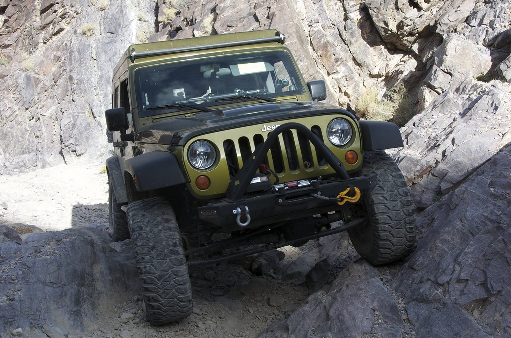
Waterfall Obstacle by Overland Frontier, on Flickr
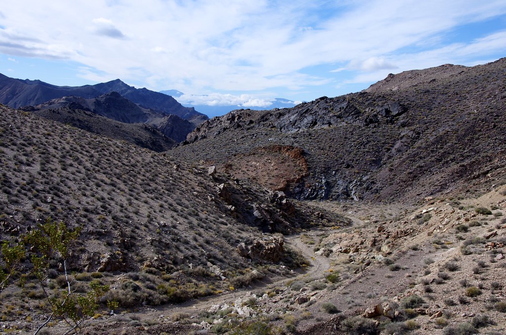
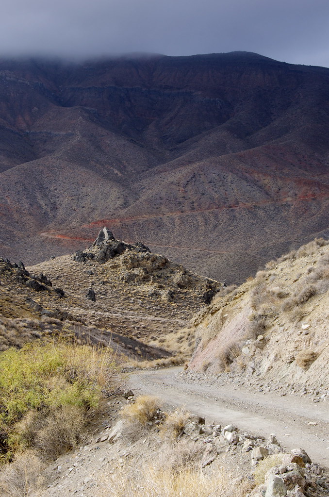
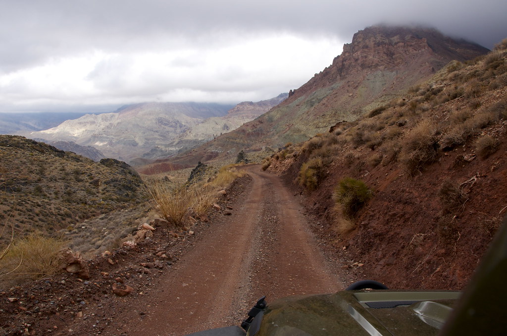
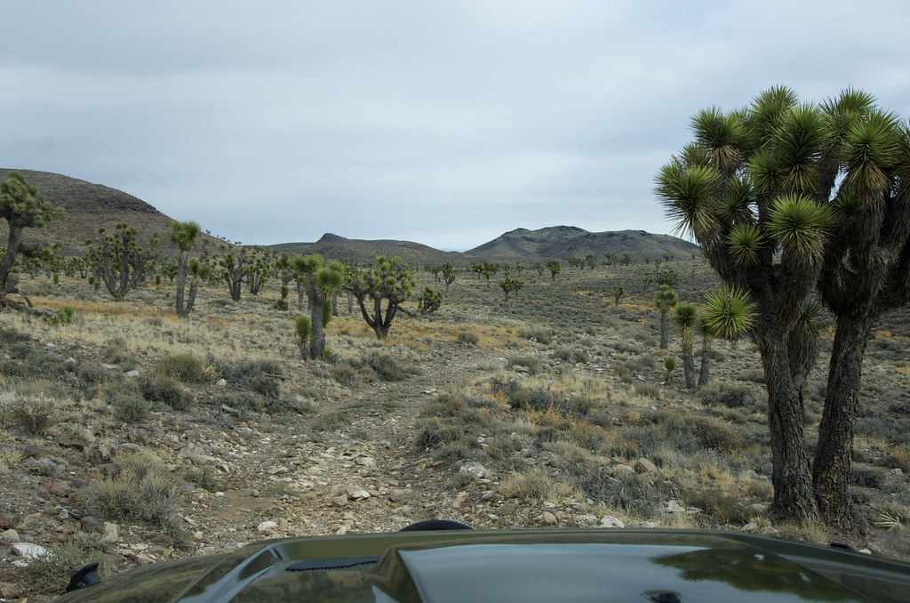
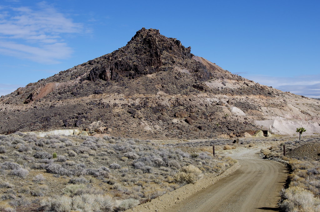
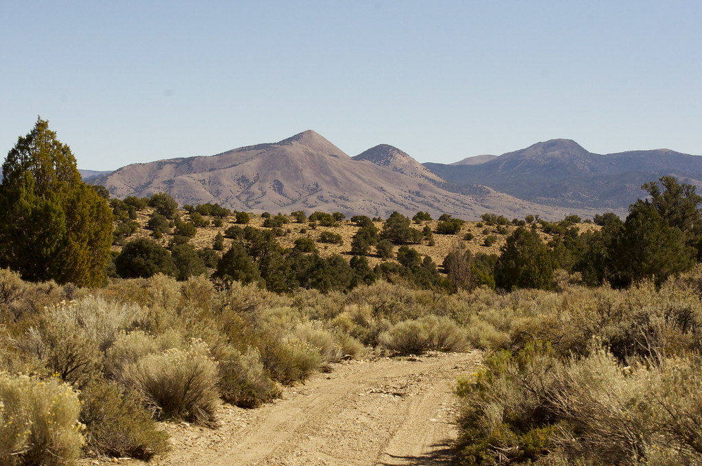
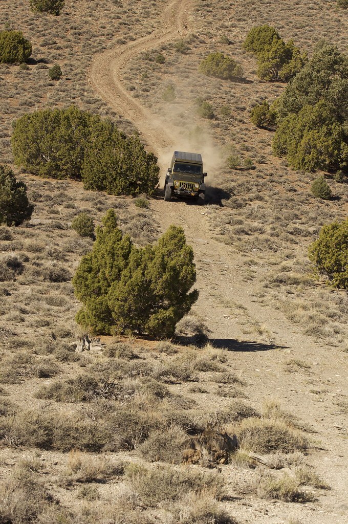
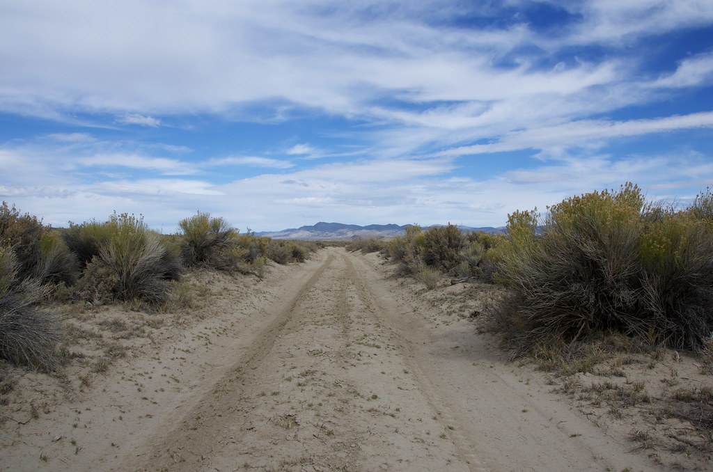
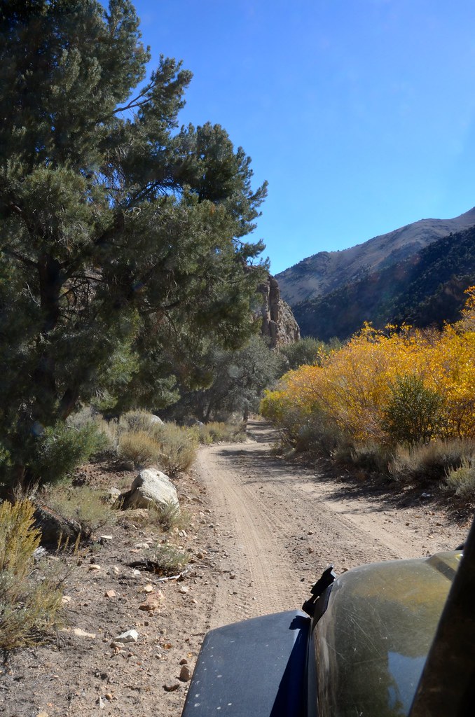
Trail to Lees Camp by Overland Frontier, on Flickr
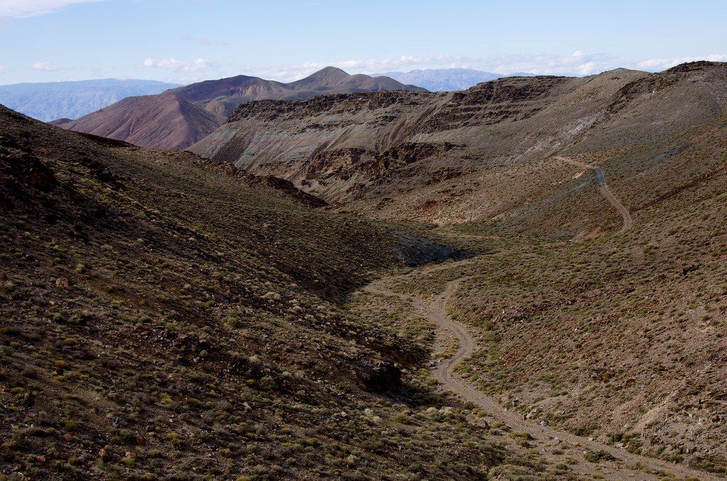
Trail to Lees Camp by Overland Frontier, on Flickr
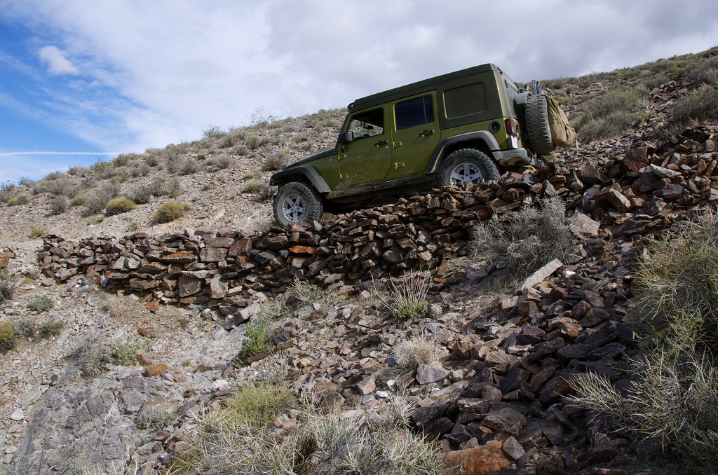
Trail to Lees Camp by Overland Frontier, on Flickr
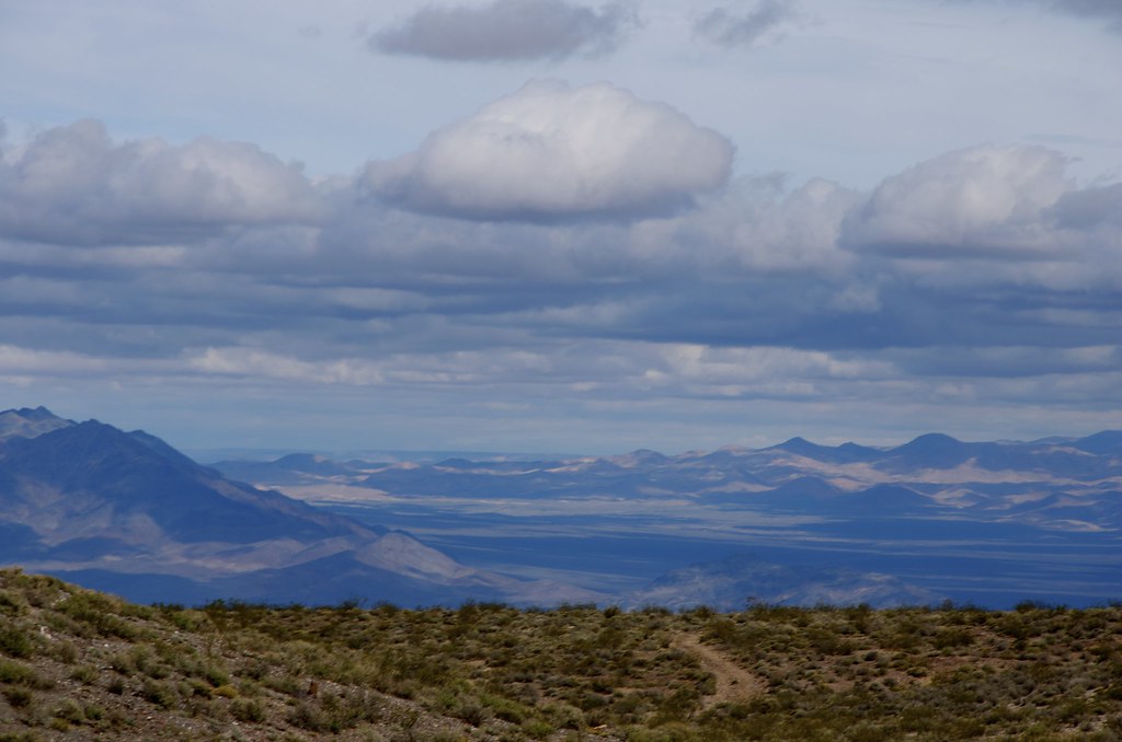
Trail to Lees Camp by Overland Frontier, on Flickr
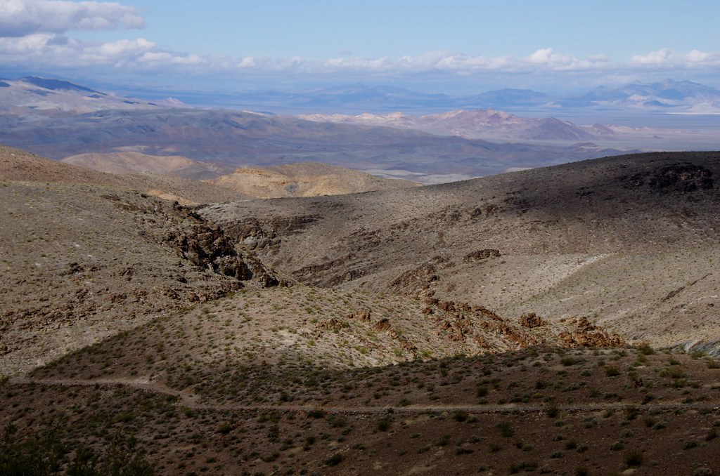
Trail to Lees Camp by Overland Frontier, on Flickr
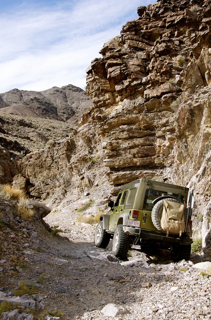
Trail to Lees Camp by Overland Frontier, on Flickr
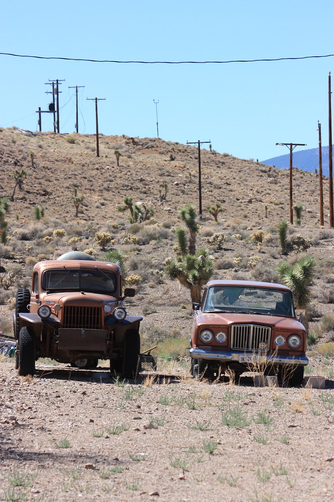
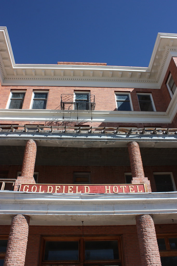
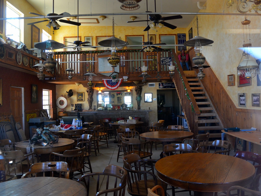
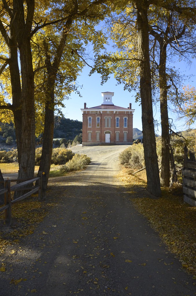
Coming out of Death Valley National Park Wilderness mountain range, leaving California and before heading north to Ryholite, I could not resist a short diversion south to Amaragosa where the old hotel, café and Amaragosa Opera house, a relic of a bygone era, still operates in the once booming mining hub. After exploring old 20 Mule Train two-tracks that once linked the Borax Mines to the Tonapah and Tidewater, I pointed the JK north and followed the old T & T line to Rhyolite.
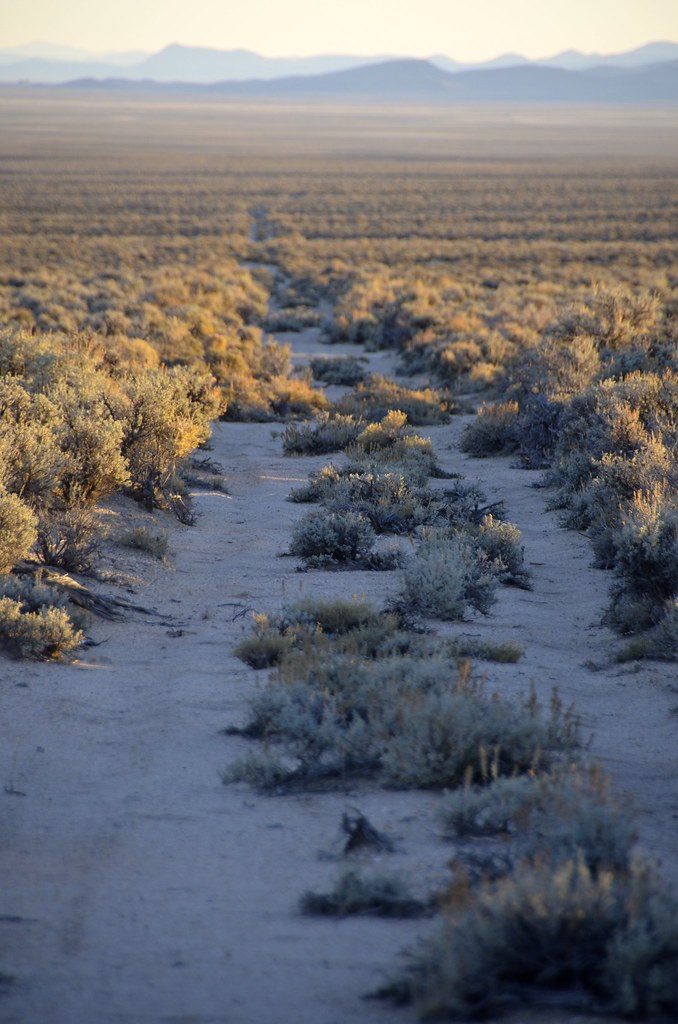
Most of the ties and all of the rails were pulled after the line was abandoned in the 1940’s, leaving a cordon wood rail bed that can be driven for segments but with caution. Flash floods, time and salvagers have taken their toll on bridges and washed-out sections of the bed that require a watchful eye to avoid dangerous sudden drops. Well-traveled trails beside the old line make it possible to navigate on or alongside, most of the line, all the way to Rhyolite.
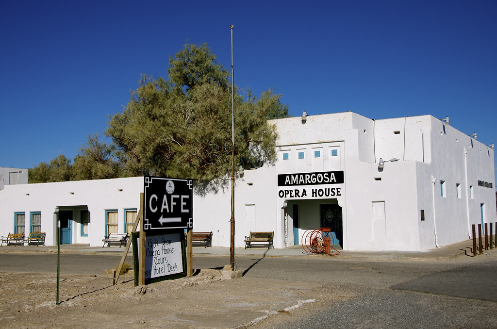
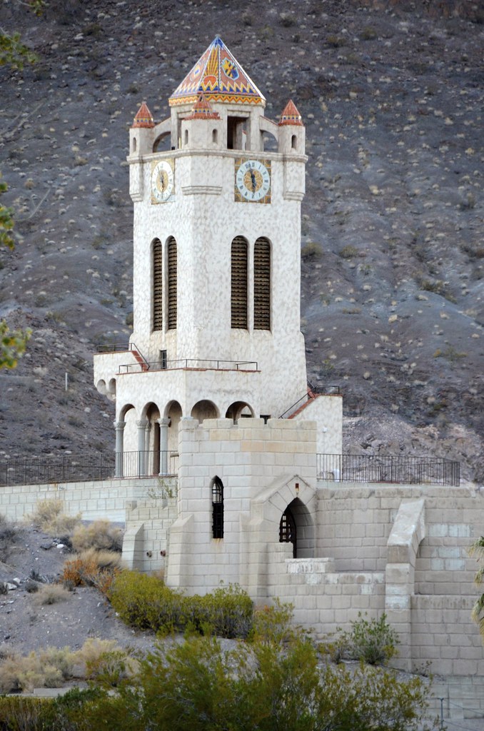
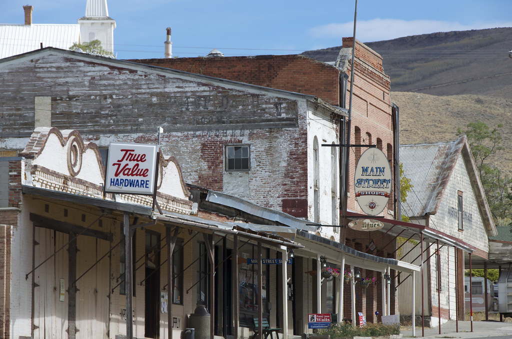
Armagosa Hotel & Opera House by Overland Frontier, on Flickr
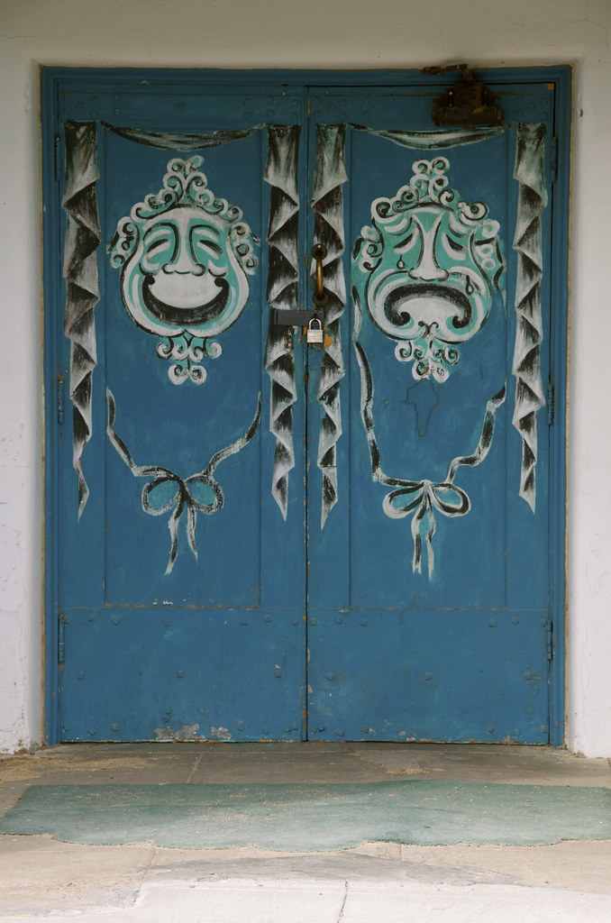
Armagosa Opera House Entrance by Overland Frontier, on Flickr
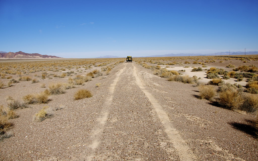
Tonopah & Tidewarter Railway by Overland Frontier, on Flickr
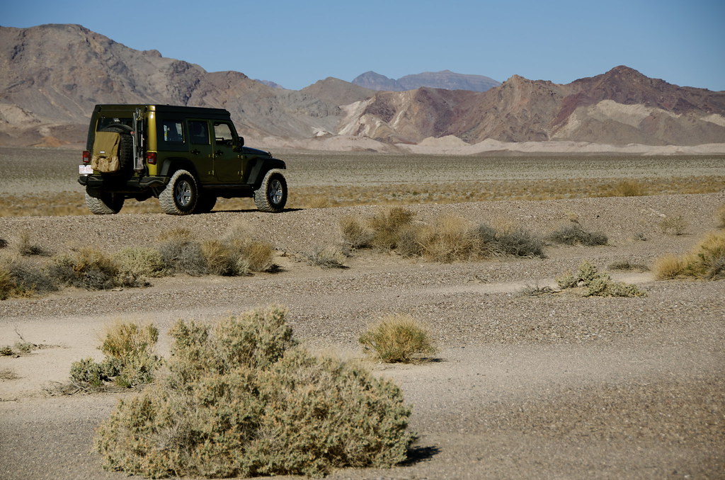
Tonopah & Tidewarter Railway by Overland Frontier, on Flickr
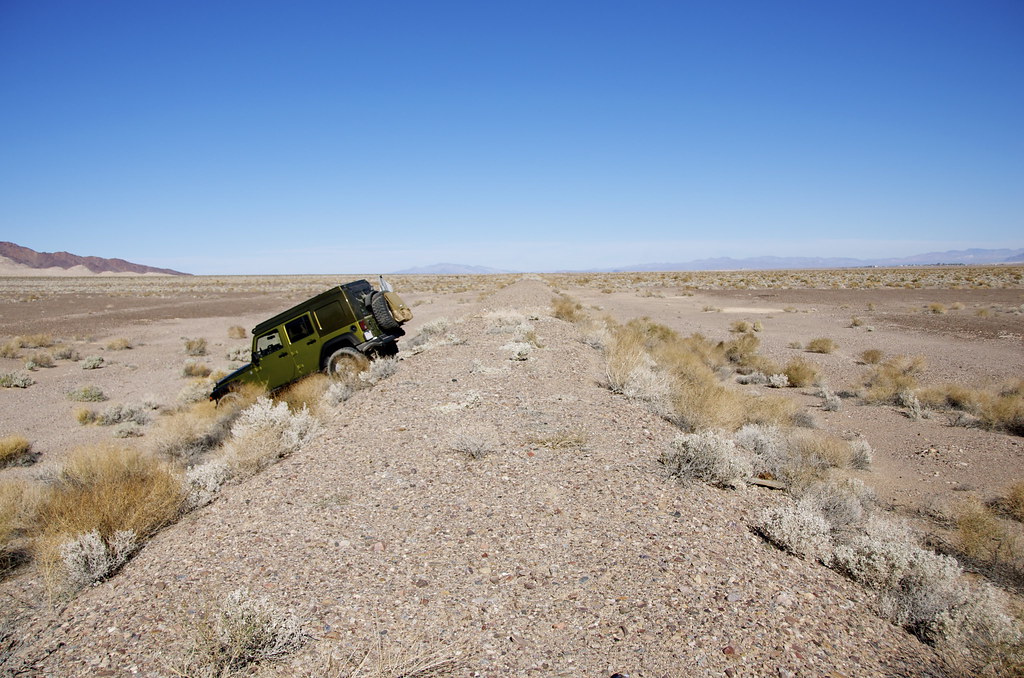
Tonopah & Tidewarter Railway by Overland Frontier, on Flickr
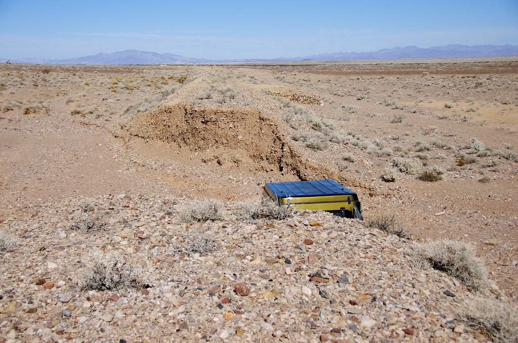
Tonopah & Tidewarter Railway by Overland Frontier, on Flickr
The route travels just west of Amaragosa River and Death Valley Wilderness area that is closed to vehicle traffic, until you reach the inviting steep trail up Sand Hill Peak and the Big Dunes, which lured me in. But, again, given I was traveling solo, I only explored the perimeter of the deep dunes sand that is open to ORV’s, but I will be back to play one day.
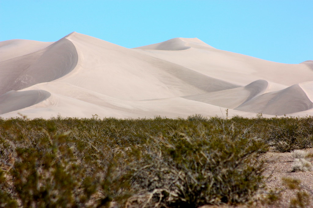
Big Dunes by Overland Frontier, on Flickr
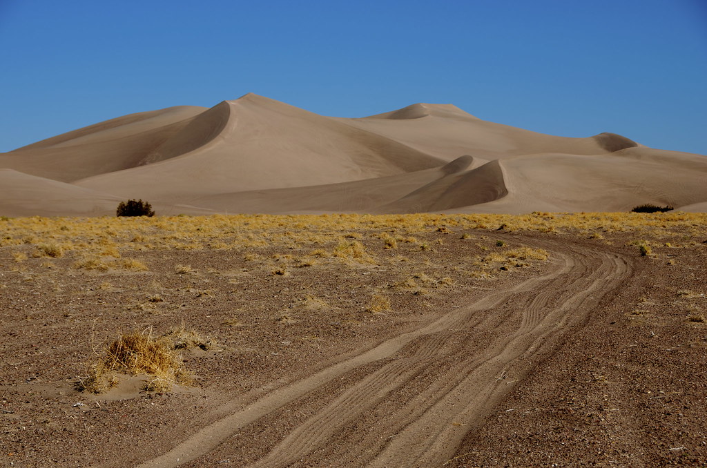
Big Dunes by Overland Frontier, on Flickr
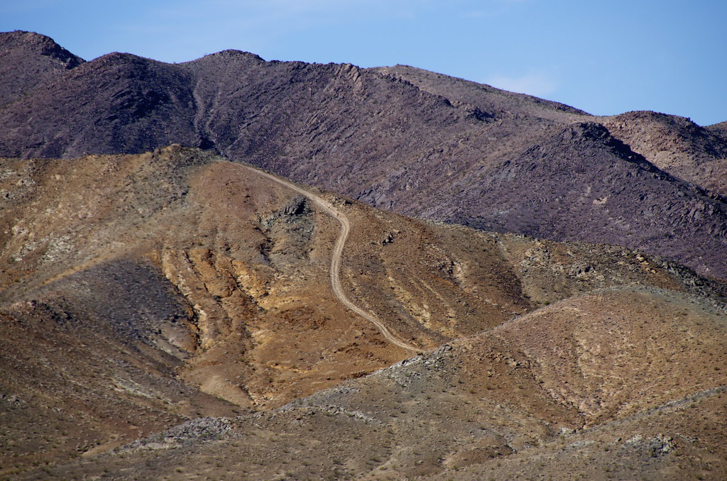
Sand Hill Peak by Overland Frontier, on Flickr
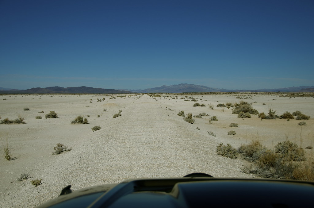
T&T Railway by Overland Frontier, on Flickr
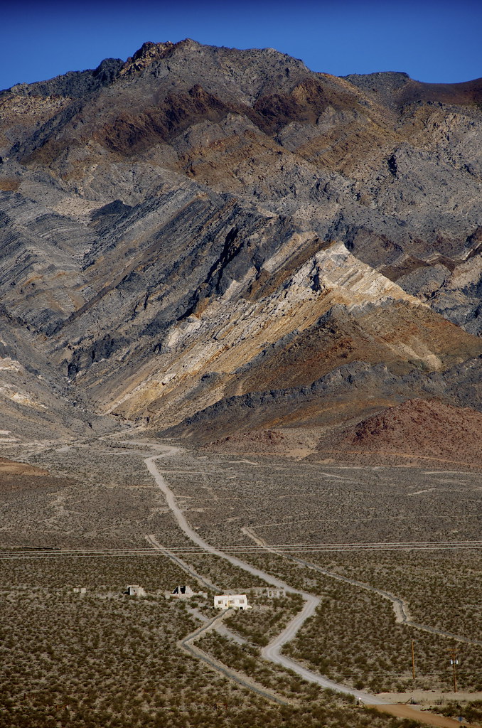
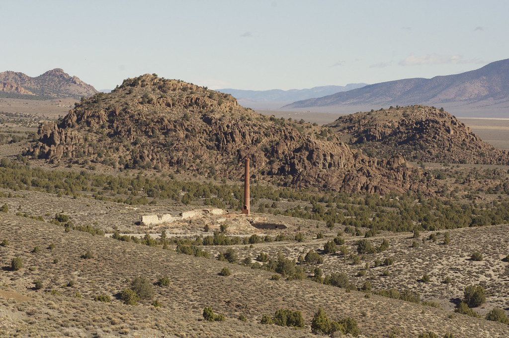
Mining Ruins Side Trails by Overland Frontier, on Flickr
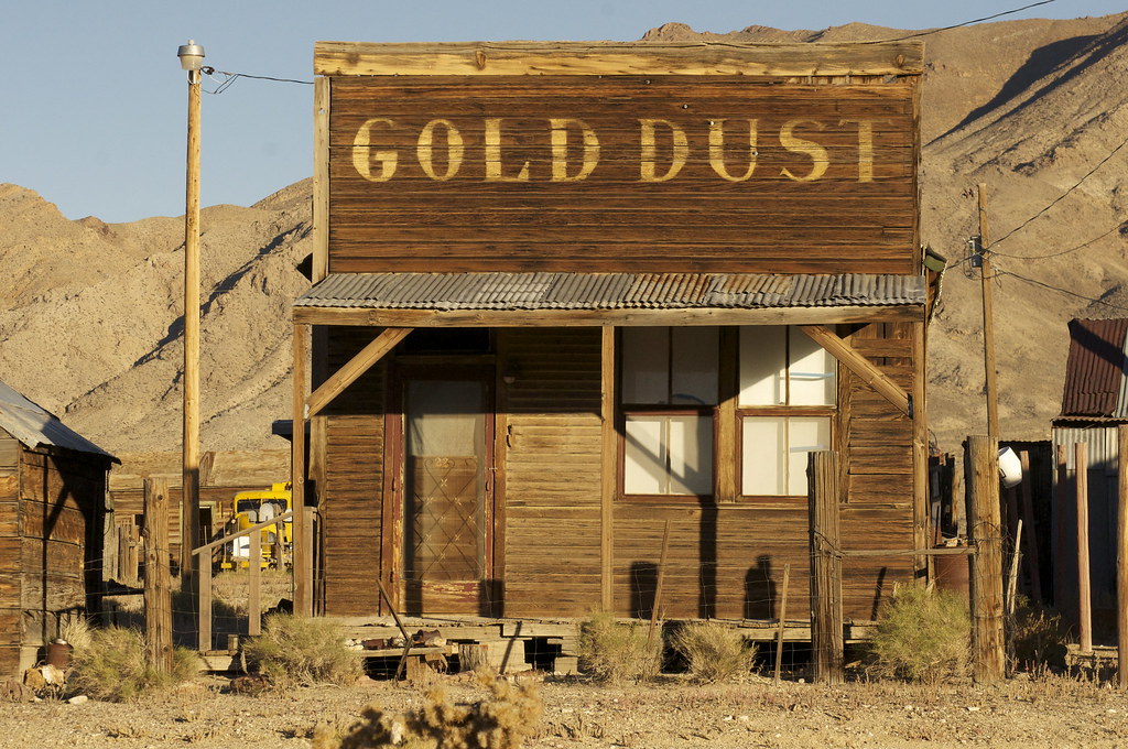
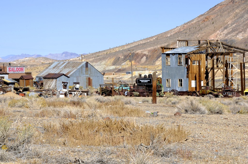
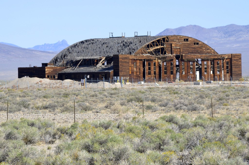
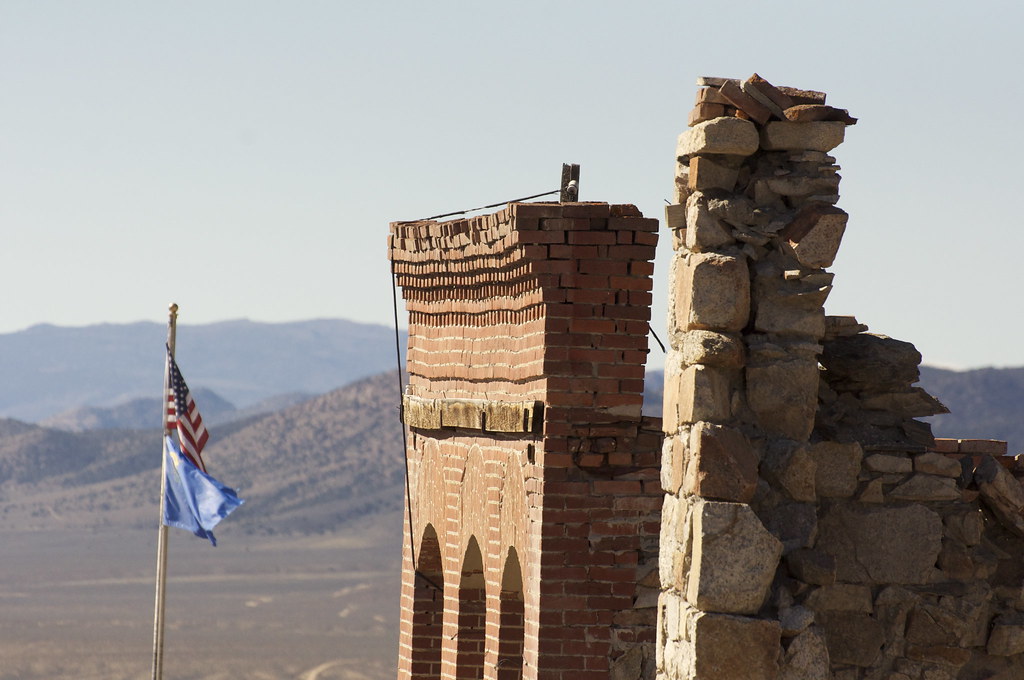
Just when you think you are in total isolation, eyes crane to read the vague outline of sun-bleached bold print - CAT HOUSE - on the side of structure in the horizon. Welcome to Nevada, one of the most liberal states in the US. Looking east, you can see Highway 95, and it all makes sense. Bordellos are still legal in most parts of Nevada, but not in Las Vegas.
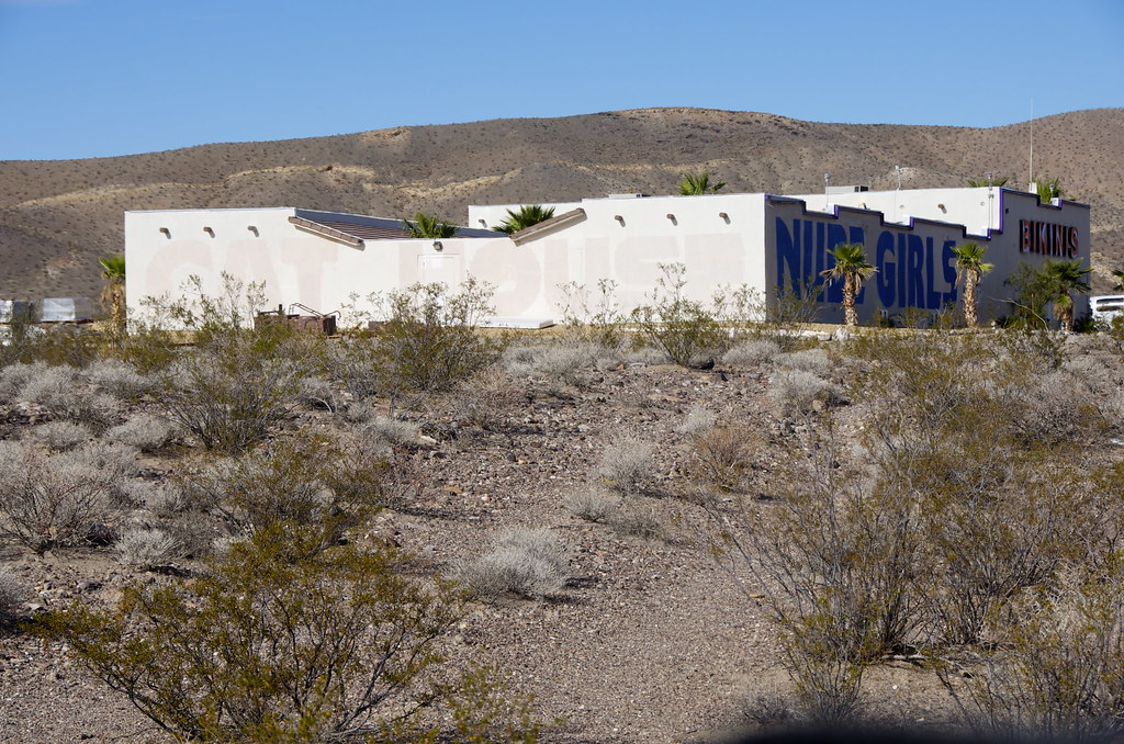
Cat House by Overland Frontier, on Flickr
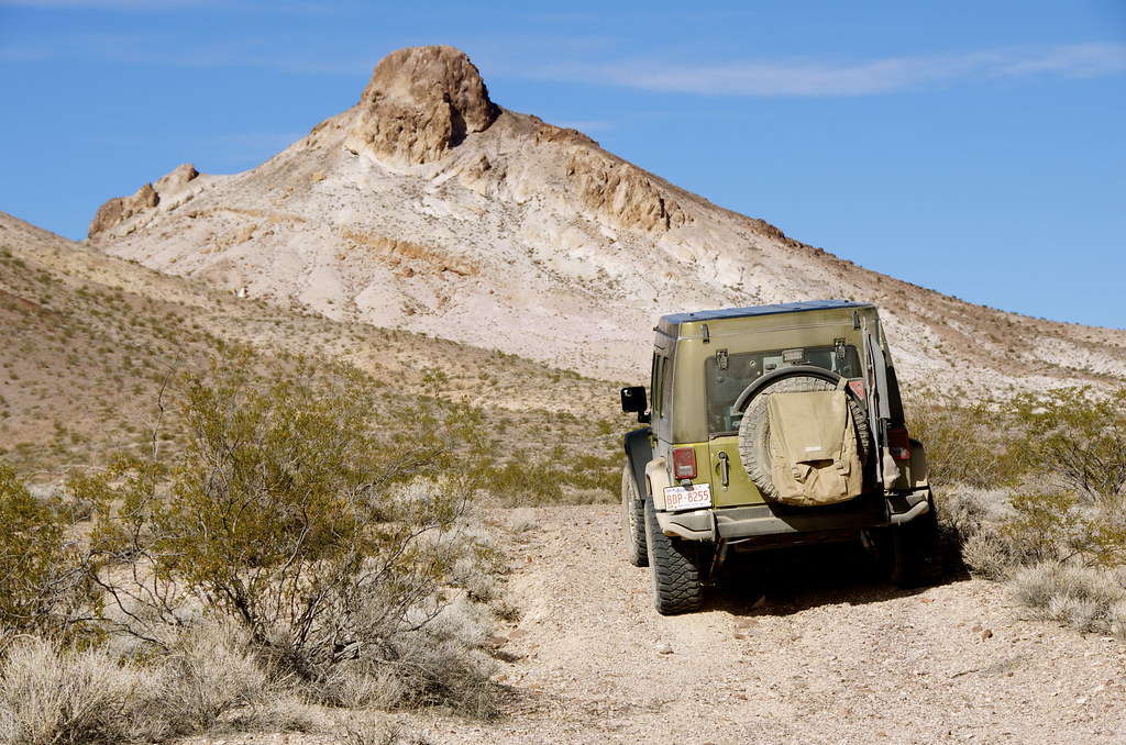
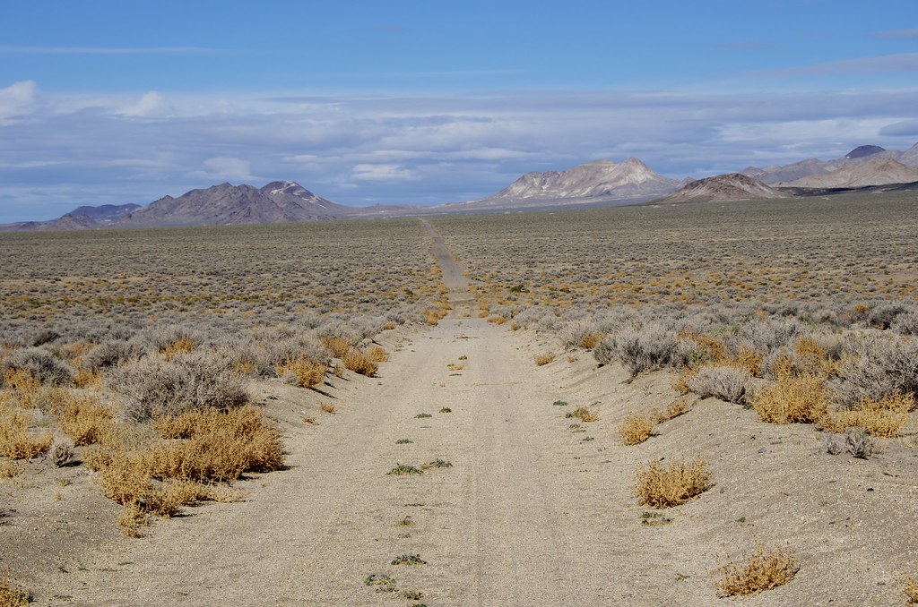
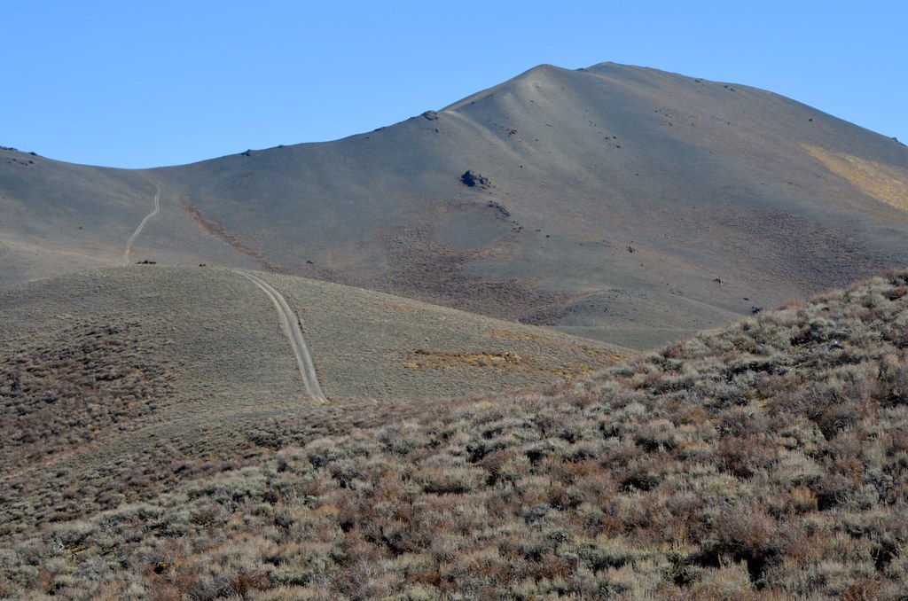
Rhyolite Trail by Overland Frontier, on Flickr
For more photos, on-line maps and GPS/GPX Tracklog check out:
http://www.overlandfrontier.com/trek-series/abandoned-tt-railway-red-pass-titus-canyon
Hope you will like and follow us on Facebook.
From Inyo Mine turnoff the trail heads northwest to Lees Camp ghost town, where the route crosses the abandoned Tonapah and Tidewater railway heading north and south, one of three rail lines that rushed towards Rhyolite at the turn-of-the century, the commercial hub for the Bullfrog Mountain Gold Rush.
Just past the Amaragosa turn-off, an Adventure Trailer and a series of tents raised hopes that I might encounter other Overlanders to share some trails and tales, but I did not see a soul on the back-roads until reaching Ryholite.

Base Camp Near Inyo Mine and Armagosa Road Junction by Overland Frontier, on Flickr

Death Valley Wilderness Canyon by Overland Frontier, on Flickr

Death Valley Wilderness Canyon by Overland Frontier, on Flickr
The pass trail is rated difficult, primarily because of a short waterfall obstacle that requires good ground clearance and careful tire placement. I did use my rear locker to avoid any unnecessary strain, given I was traveling this section alone, but the trail looks quite passable without lockers, for experienced drivers.

Waterfall Obstacle on Lees Camp Road by Overland Frontier, on Flickr

Waterfall Obstacle on Lees Camp Road by Overland Frontier, on Flickr

Waterfall Obstacle by Overland Frontier, on Flickr

Trail to Lees Camp by Overland Frontier, on Flickr

Trail to Lees Camp by Overland Frontier, on Flickr

Trail to Lees Camp by Overland Frontier, on Flickr

Trail to Lees Camp by Overland Frontier, on Flickr

Trail to Lees Camp by Overland Frontier, on Flickr

Trail to Lees Camp by Overland Frontier, on Flickr
Coming out of Death Valley National Park Wilderness mountain range, leaving California and before heading north to Ryholite, I could not resist a short diversion south to Amaragosa where the old hotel, café and Amaragosa Opera house, a relic of a bygone era, still operates in the once booming mining hub. After exploring old 20 Mule Train two-tracks that once linked the Borax Mines to the Tonapah and Tidewater, I pointed the JK north and followed the old T & T line to Rhyolite.
Most of the ties and all of the rails were pulled after the line was abandoned in the 1940’s, leaving a cordon wood rail bed that can be driven for segments but with caution. Flash floods, time and salvagers have taken their toll on bridges and washed-out sections of the bed that require a watchful eye to avoid dangerous sudden drops. Well-traveled trails beside the old line make it possible to navigate on or alongside, most of the line, all the way to Rhyolite.

Armagosa Hotel & Opera House by Overland Frontier, on Flickr

Armagosa Opera House Entrance by Overland Frontier, on Flickr

Tonopah & Tidewarter Railway by Overland Frontier, on Flickr

Tonopah & Tidewarter Railway by Overland Frontier, on Flickr

Tonopah & Tidewarter Railway by Overland Frontier, on Flickr

Tonopah & Tidewarter Railway by Overland Frontier, on Flickr
The route travels just west of Amaragosa River and Death Valley Wilderness area that is closed to vehicle traffic, until you reach the inviting steep trail up Sand Hill Peak and the Big Dunes, which lured me in. But, again, given I was traveling solo, I only explored the perimeter of the deep dunes sand that is open to ORV’s, but I will be back to play one day.

Big Dunes by Overland Frontier, on Flickr

Big Dunes by Overland Frontier, on Flickr

Sand Hill Peak by Overland Frontier, on Flickr

T&T Railway by Overland Frontier, on Flickr

Mining Ruins Side Trails by Overland Frontier, on Flickr
Just when you think you are in total isolation, eyes crane to read the vague outline of sun-bleached bold print - CAT HOUSE - on the side of structure in the horizon. Welcome to Nevada, one of the most liberal states in the US. Looking east, you can see Highway 95, and it all makes sense. Bordellos are still legal in most parts of Nevada, but not in Las Vegas.

Cat House by Overland Frontier, on Flickr

Rhyolite Trail by Overland Frontier, on Flickr
For more photos, on-line maps and GPS/GPX Tracklog check out:
http://www.overlandfrontier.com/trek-series/abandoned-tt-railway-red-pass-titus-canyon
Hope you will like and follow us on Facebook.
Last edited:

