Ultimate Expedition To/From Overland Expo - Flagstaff Ariizona

mercier@streetsmart.ca

Expedition Scout
Leg 10 Nipton Desert to SE Death Valley Gateway

Leg 10 Nipton Desert to SE Death Valley Gateway

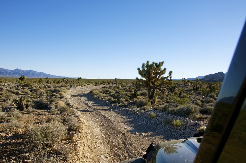
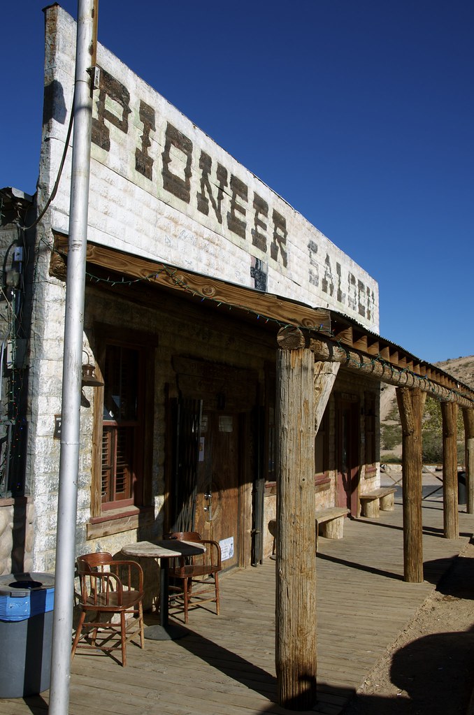
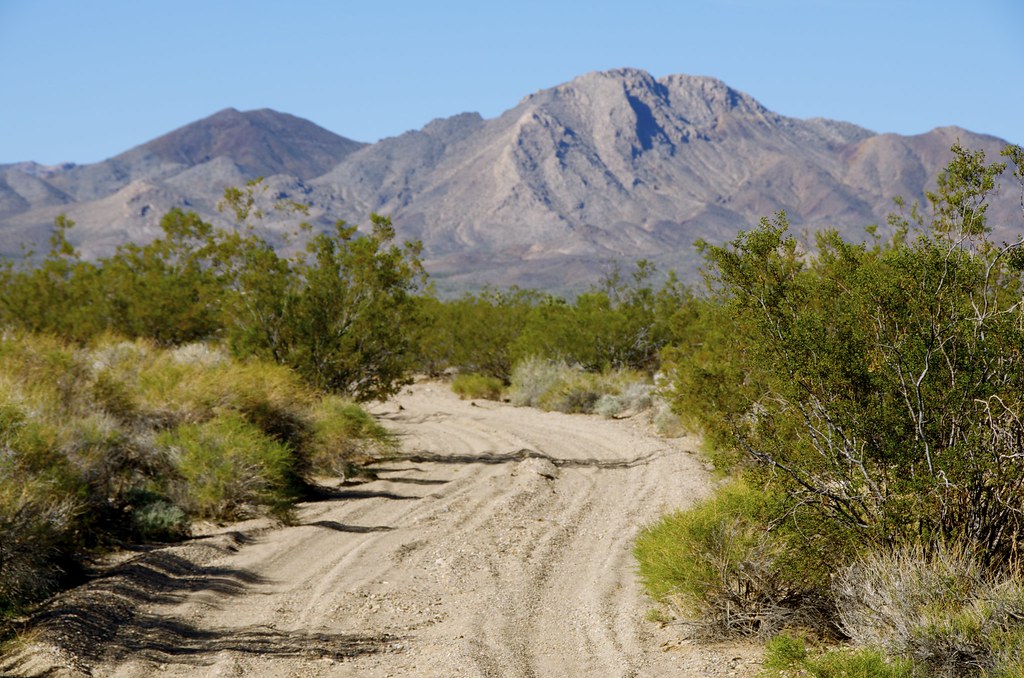
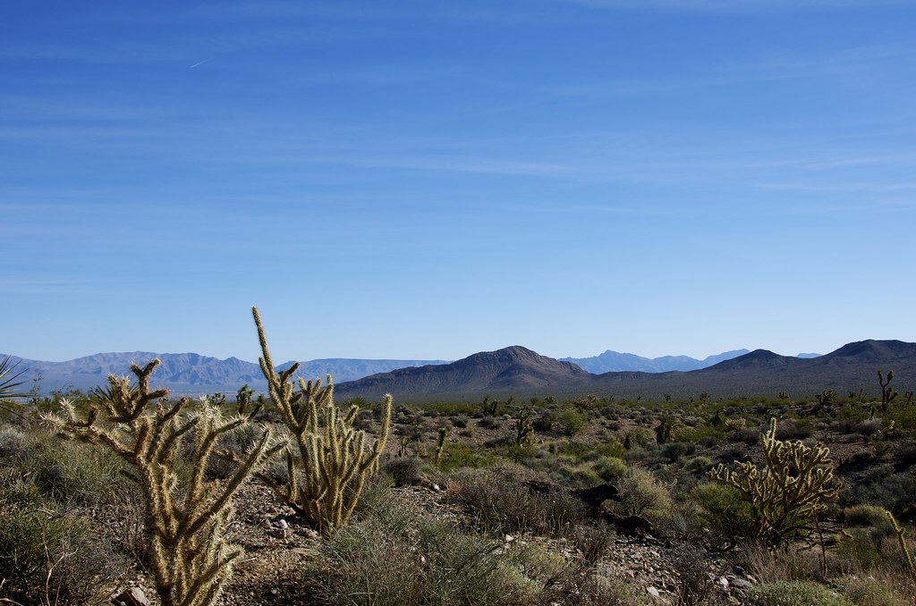
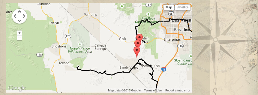
A short distance Northeast of Nipton we follow dirt roads to the small Nevada gambling town of Primm, where this Trek Leg barley touches pavement and passes under Interstate 15 before it returns to desert-gravel roads, a backdoor to the old boomtown of Goodsprings. We had to take in the historical Goodsprings Saloon, on the way by, a great place for a beer and burger and some really interesting tales of the past and ghosts that haunt the bar.


Nipton Desert Trail to Goodsprings by Overland Frontier, on Flickr


Pioneer Saloon in Goodsprings by Overland Frontier, on Flickr

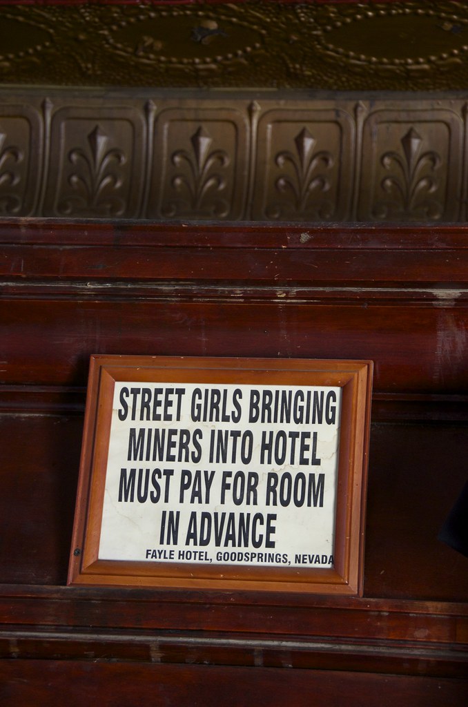
[
url=https://flic.kr/p/swKDh7]Relics from the Fayle Hotel Bordello[/url] by Overland Frontier, on Flickr


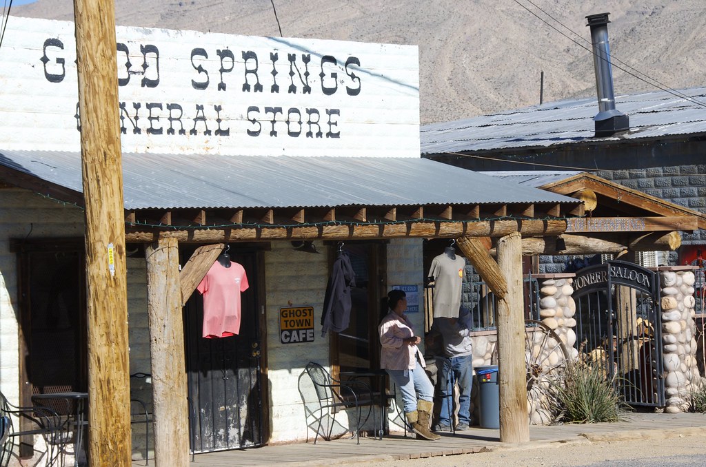
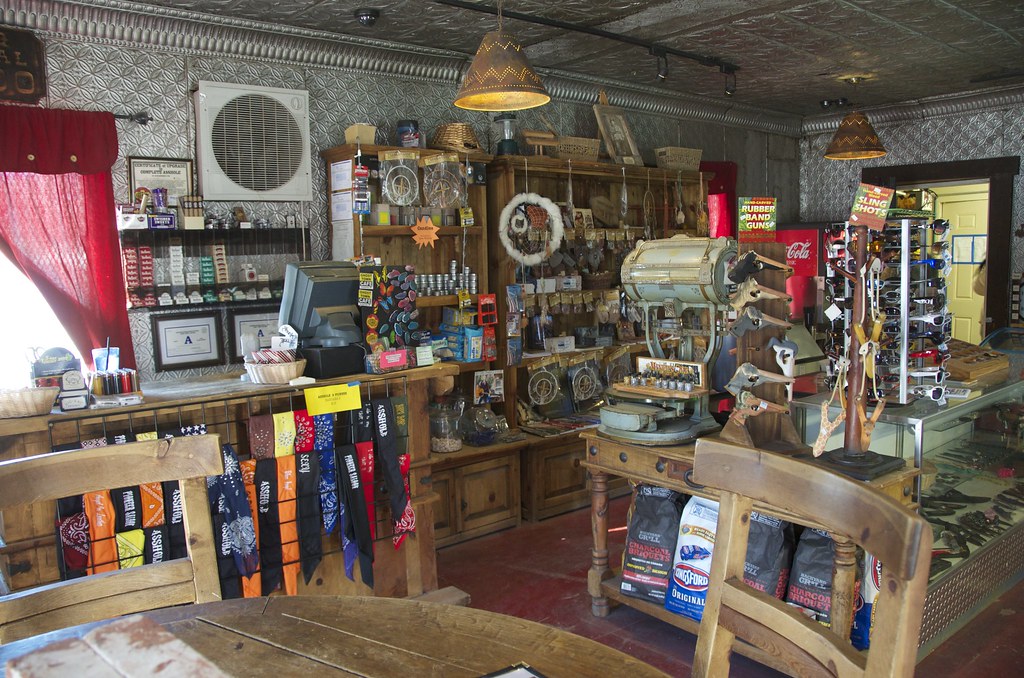
Goodsprings General Store by Overland Frontier, on Flickr


Goodsprings General Store by Overland Frontier, on Flickr


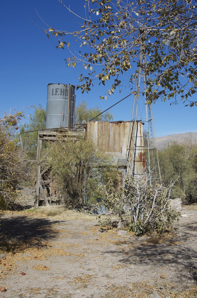
Goodsprings Well by Overland Frontier, on Flickr


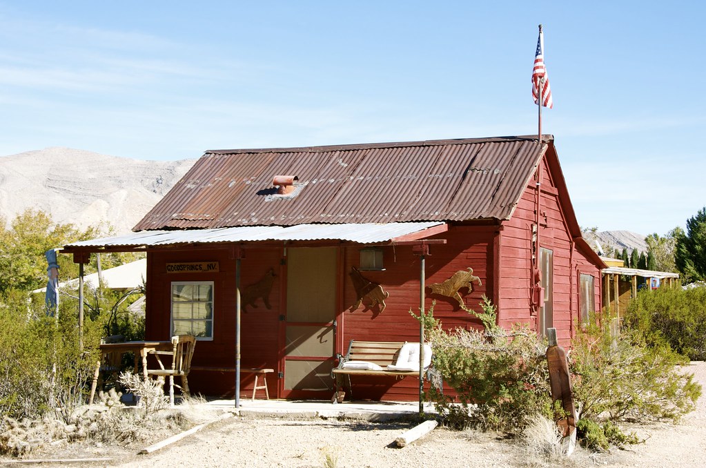
Goodsprings Post Office Repurposed a Home by Overland Frontier, on Flickr

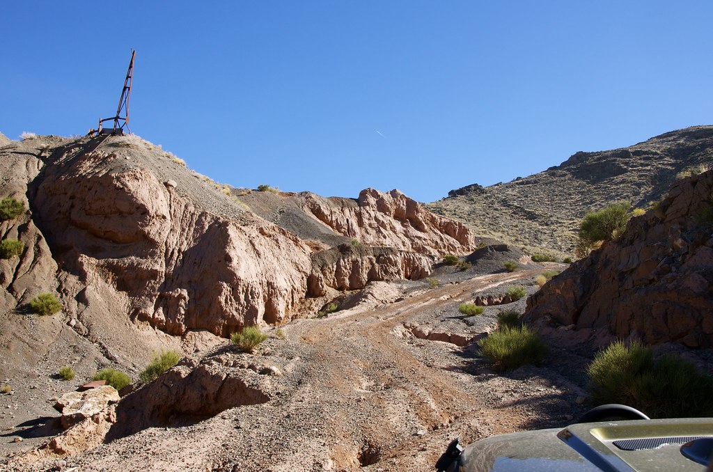
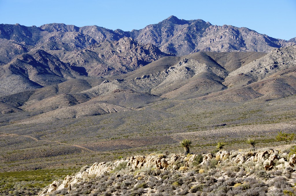
From Goodsprings, we traveled old mining roads below Shanandoah Peak, up Wilson Pass to explore some of the 50 odd abandoned mines that surround Goodsprings. On the west end of Wilson Pass we explored the Chiquita Mine and Keytone Mine sites before traveling along some deep sandy trails across Mesquite Valley, that once joined other remote mining areas, some still in production.


Old Mine Trail by Overland Frontier, on Flickr


Soft sandy-gravel trails to Pioneer Mine by Overland Frontier, on Flickr


Kingstone Range Desert by Overland Frontier, on Flickr

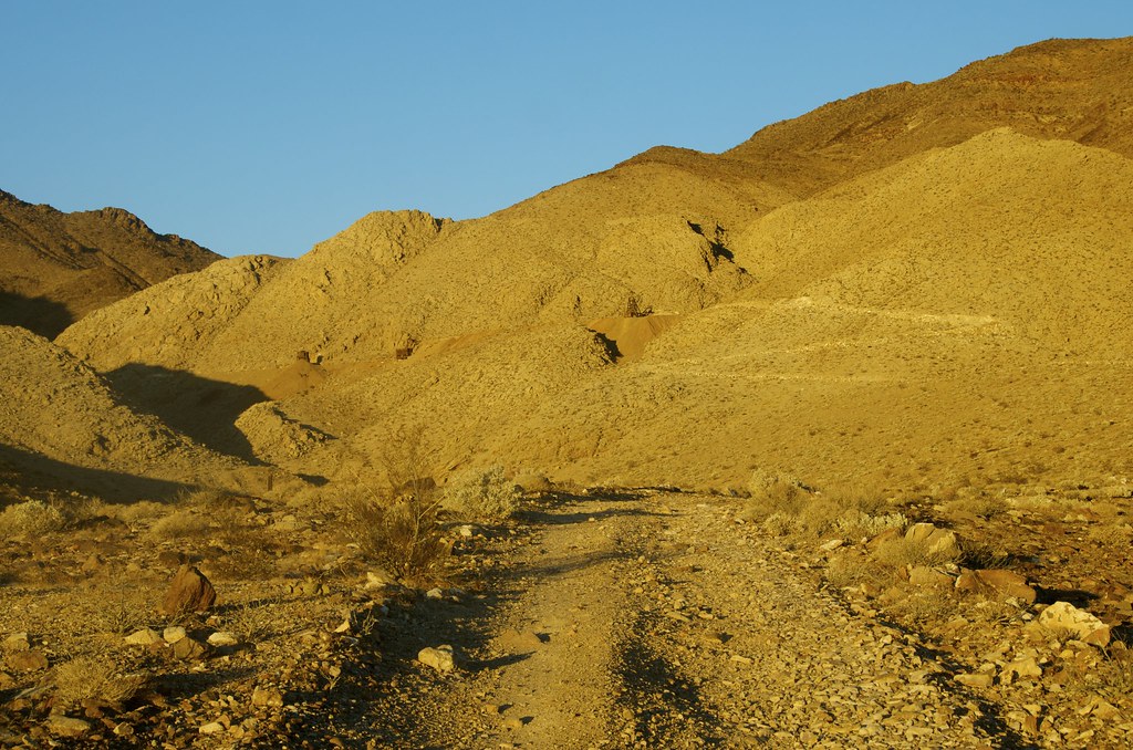
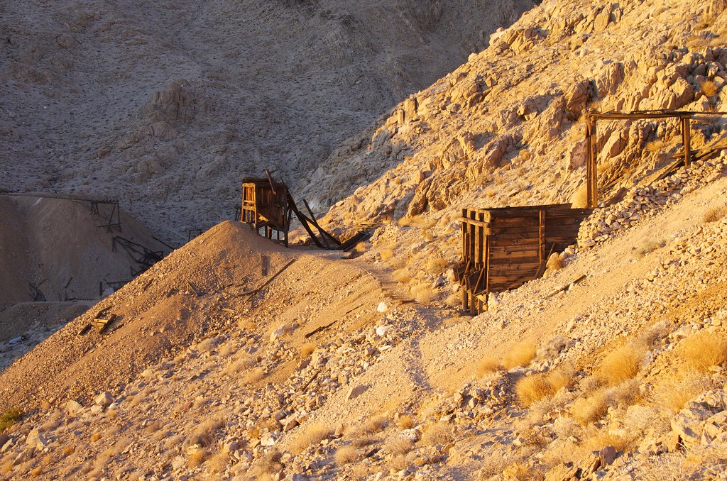
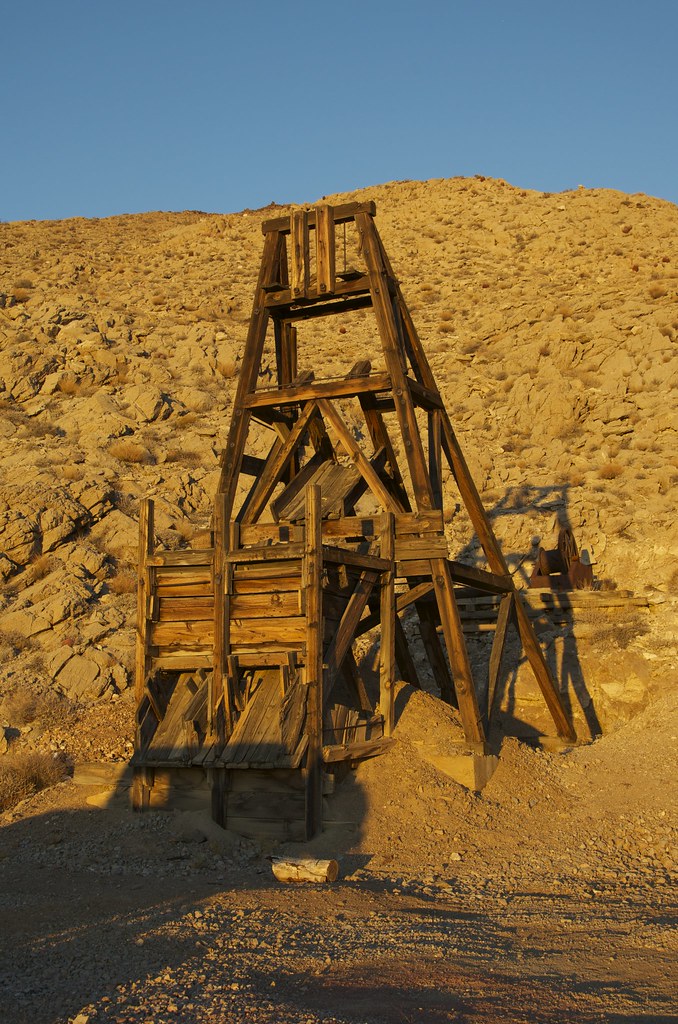
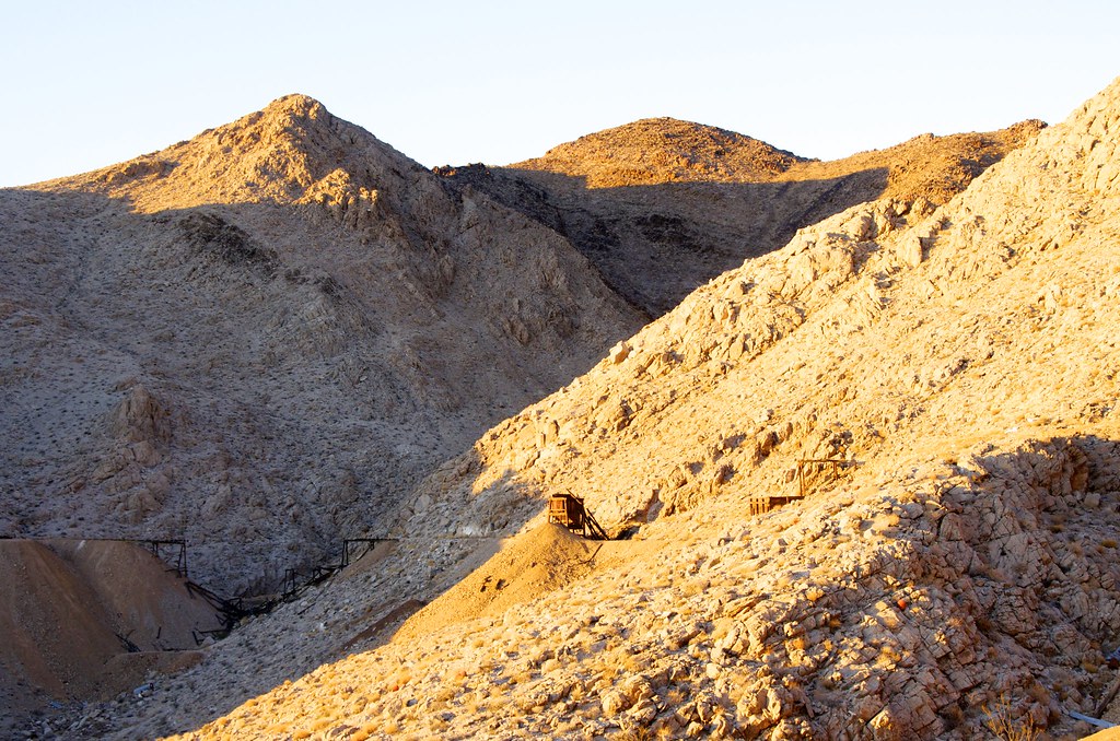
As we climbed up the Kingston Range we passed the active Excelsior Mine workings to reach the extensive abandoned Blackwater and Pioneer Mine, just in time to capture a rich sunset. The region, just south of the Old Spanish Trail, blazed in 1830 is rich with old mines and abandoned railway lines to explore.


Kingston Peak by Overland Frontier, on Flickr


Trail to Blackwater and Pioneer Mine by Overland Frontier, on Flickr


Pioneer Mine by Overland Frontier, on Flickr


Golden Sunset on Pioneer Mine by Overland Frontier, on Flickr


Pioneer Mine by Overland Frontier, on Flickr

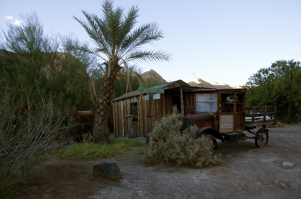
China Ranch has been farmed for roughly 130 years, first by a Chinese entrepreneur that felt his labor in the nearby Death Valley Borax mine would be better invested in planting fresh vegetables and fruits in the creek fed Amargosa Canyon, for the miners in the region. His legacy continues today as a date farm and nursery for native plants.

The farm store and museum provides access to a remote section of the Tonopah & Tidewater Railway in Amaragosa Canyon, that nearly bankrupt the turn-of-of the century line due to the difficulties encountered. The canyon section of the T & T is now a preserved wilderness that is environmentally sensitive and closed to vehicle traffic, but is open for hikes. We got there at dusk and had to put it on the roster for next pass-by.


China Ranch Road by Overland Frontier, on Flickr


China Ranch Date Farm by Overland Frontier, on Flickr


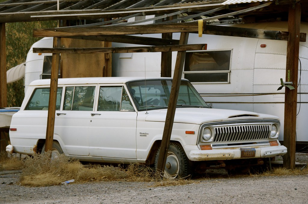
Old Classic tucked away on China Ranch Date Farm by Overland Frontier, on Flickr


Goodsprings, SE Backdoor to Death Valley - Map by Overland Frontier, on Flickr


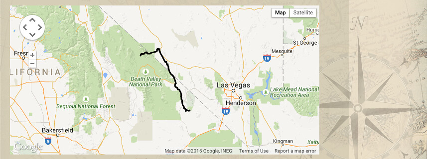
Abandoned T and T Rail to Echo Canyon and Titus Canyon by Overland Frontier, on Flickr

For more photos, on-line maps and GPS/GPX Tracklog check out:

http://www.overlandfrontier.com/trek-series/mojave-desert-roads

http://www.overlandfrontier.com/trek-series/abandoned-tt-railway-red-pass-titus-canyon

Hope you will like and follow us on Facebook.

Ultimate Expedition To/From Overland Expo, Flagstaff, AZ – Leg 11 Post coming soon.
 
Last edited:

takesiteasy

Adventurer
Great trip report. Interesting to see all the old ghost towns. Nice scenic photos too. I appreciate the effort to map the routes. Thanks!
 

fireball

Explorer
Wow, awesome trip and great photos! Many thanks for sharing. So glad I'm sitting here at a desk this morning... :)
 

psykokid

Explorer
Nice trip report! I was in the Land Rover group you came upon on the Mojave Road. Weather was great out there that weekend.
 

mercier@streetsmart.ca

Expedition Scout
Awesome, glad you could see your caravan coming the other way - it was great watching you guys go by - added excitement to the the run, sharing the experience with others and all, as brief as the passing was.
 

mkitchen

Explorer
How much time did this take?

Having done most of the routes that you took, I am impressed with the amount of research you must have done to put together your tour. There are many four wheelers in the area who do not know of the places that you have gone. So a good job and hats off to you.
I do hope the most folks seeing your thread choose to enjoy the pictures and pass on looking for the routes. One of the nice things about back country travel in this area is that it is seldom used and we do not see the amount of trail users that are prevalent near the bigger population centers.
Mikey
 

mercier@streetsmart.ca

Expedition Scout
For me, studying old maps and historical books has always been half the pleasure, but more recently Google Earth, on-line maps via such services as GAIA has made access to old maps much easier and affordable. Your right I seldom see anyone on these trails, with the exception of a few more well known segments - while liking the solitude, it is really nice running into the occasional Overlander and interestingly, I've run into a number from your neck-of-the-woods. Hope our paths cross Mikey.
 
Last edited:

mercier@streetsmart.ca

Expedition Scout
Leg 11 – Death Valley, Shoshone to Echo Canyon and Inyo Mine

Once a 100 mile, 600 foot deep lake. Now the hottest, driest, lowest place in North America, only 85 miles from the highest peak in the contiguous US, at 14,505. We timed our exploration to avoid summer 120-degree temperatures.

This leg enters Death Valley via Shoshone, a stop on the Tonopah and Tidewater Railway, until the line closed in 1940. Highway 127 follows the old mainline that intersects with old mining spurs and Borax 20 Mule Train trails. As always, it’s important to stay on trails open to the public. The Shoshone Sheriffs office seems particularly vigilant in this region and proudly post photos of off-roader fined or jailed for not doing so to discourage others. Open trails such as Echo Canyon to Lees Camp provide lots of interest for overlanders.
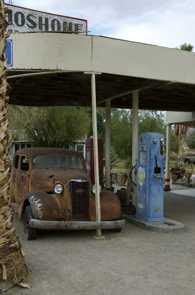

Shoshone, CA by Overland Frontier, on Flickr
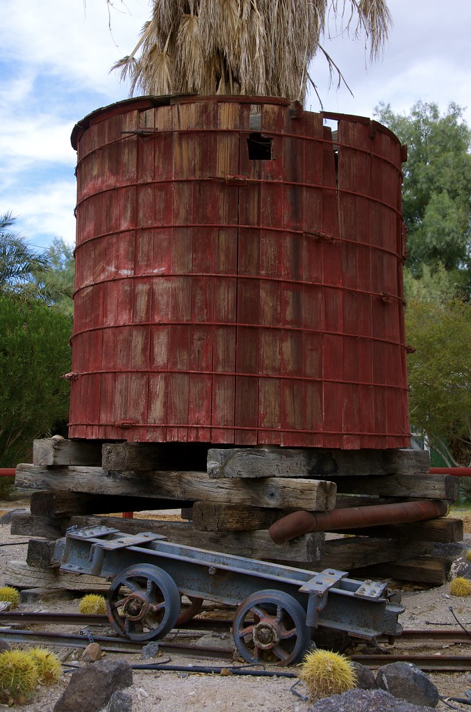

Shoshone, CA by Overland Frontier, on Flickr
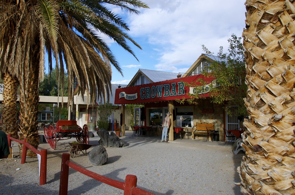

Shoshone, CA by Overland Frontier, on Flickr

Shoshone locals pointed us in the right direction to check out the Dublin Gulch Caves that were etched out of from 600 thousand year old volcanic ash, said to be from a Lava Flow originating from Yellowstone National Park. Miners from the Noonday mine constructed the caves during the 1870 silver boom. Various squatters continued to use them until the 1970’s.
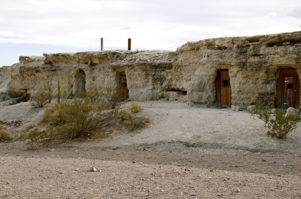

Dublin Gulch Caves by Overland Frontier, on Flickr
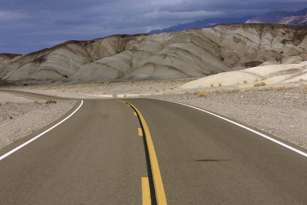

Byway to Death Valley Junction by Overland Frontier, on Flickr
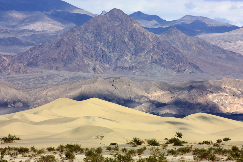

Dunes Near Death Valley Junction by Overland Frontier, on Flickr

The Borax King, Francis Marion Smith, staked a claim on marsh in Death Valley, in 1872. He and his brother shipped their product, 30 tons at a time, using two large wagons and a third for food and water for the skinner and is 24-mule team. Initially, the team traveled 160 miles (260km) over the Great basin Desert, to Wadsworth, Nevada and the Central Pacific Railroad. Using old maps as guide, the impact left by mule trains can still be traced across the desert.
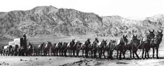

20 Mule Train in Death Valley by Overland Frontier, on Flickr
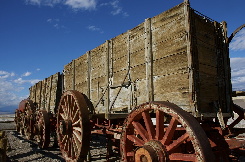

20 Mule Borax Train by Overland Frontier[, on Flickr
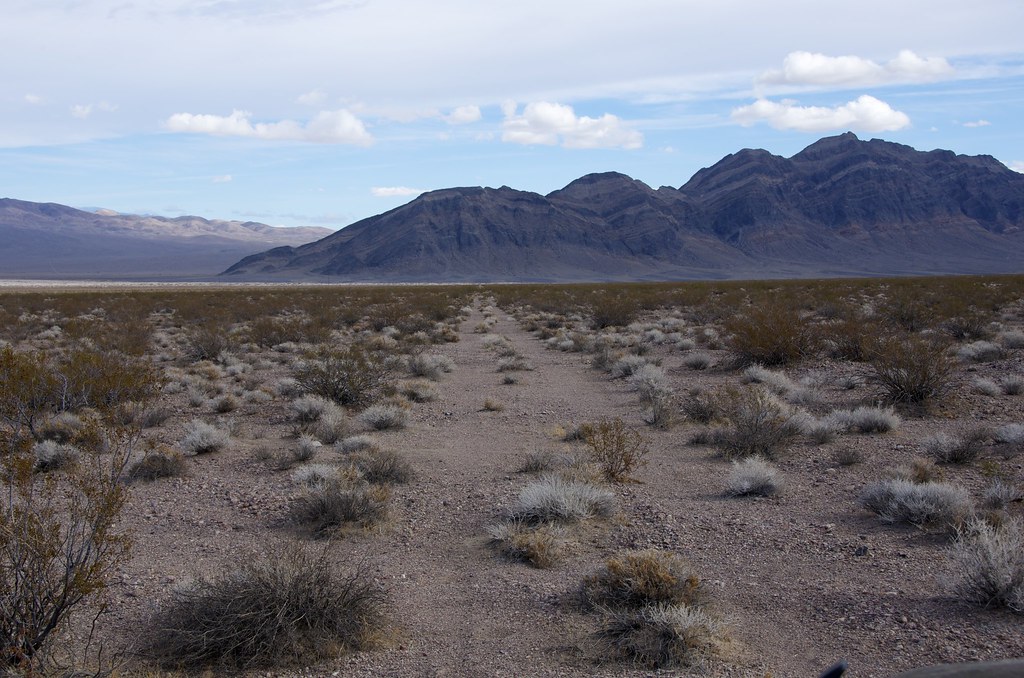

Abandoned 20 Mule Borax Train Trail by Overland Frontier, on Flickr
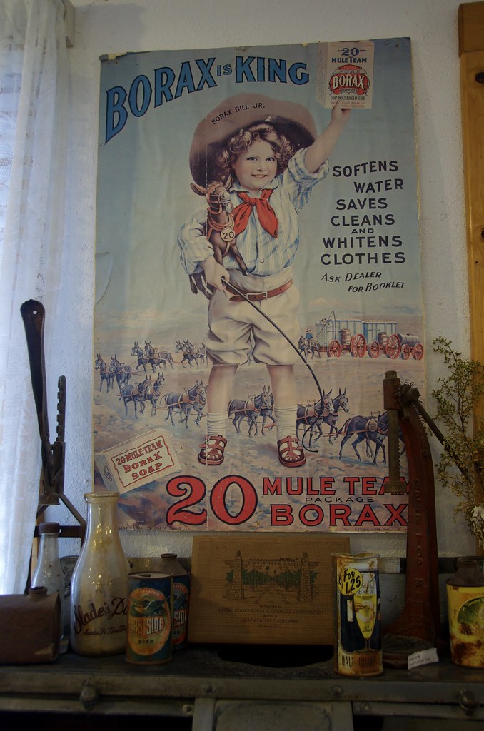

20 Mule Borax Train Soap Ad by Overland Frontier, on Flickr
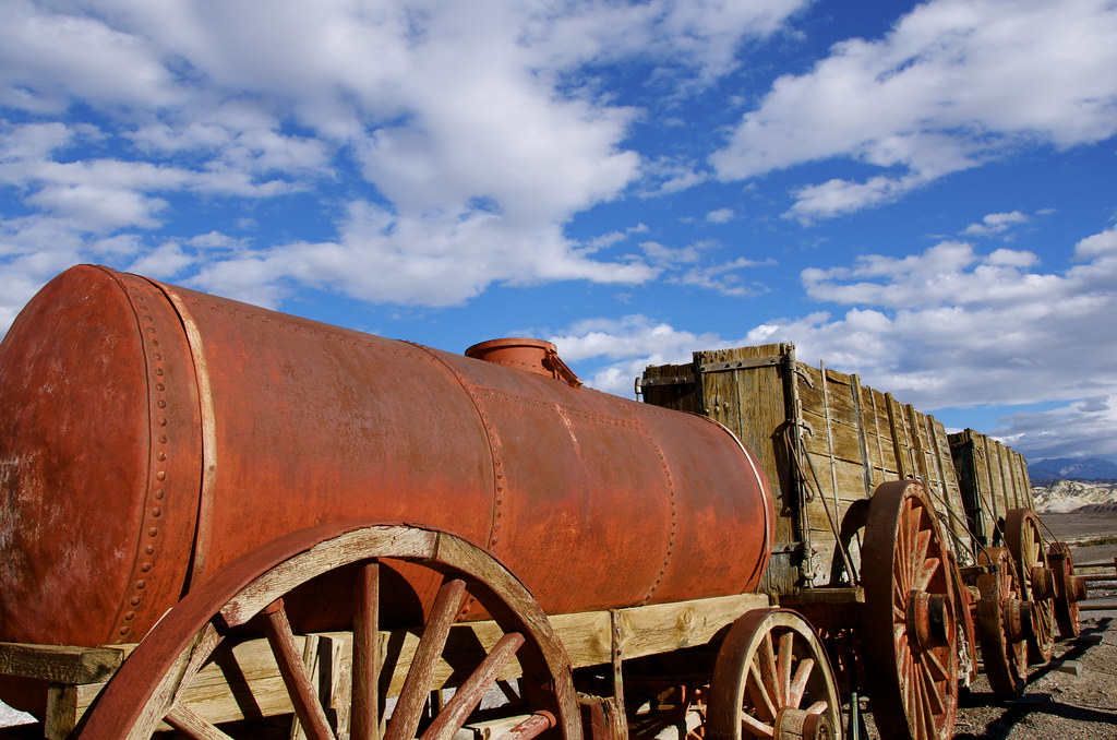

20 Mule Borax Train by Overland Frontier], on Flickr
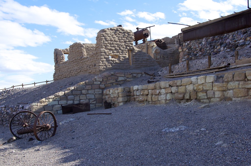

Borax Mine by Overland Frontier, on Flickr
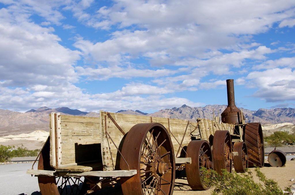

Borax Steam Engine by Overland Frontier, on Flickr
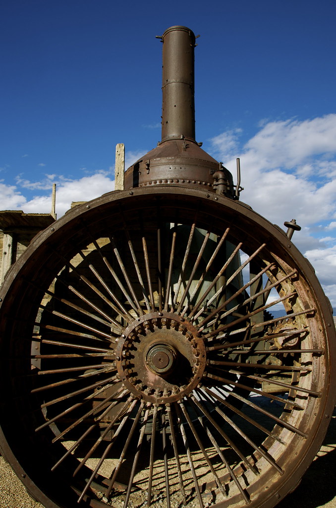

Borax Steam Engine by Overland Frontier, on Flickr

Just south of Furnace Creek, we explored a trail into Echo Canyon blazed in 1905 after gold was discovered by Maroni Hicks and Chet Leavitt. Pertroglyphs near the mouth of the canyon show that prehistoric natives were drawn to the region for thousands of years. The Death Valley Wilderness route travels to Lees Camp, with a side trip to Inyo Mine and onward, on the abandoned railway.
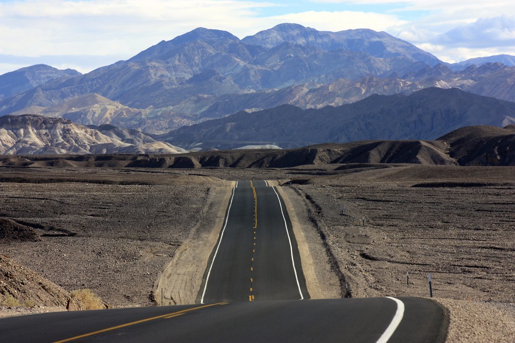

Death Valley Byway by Overland Frontier, on Flickr
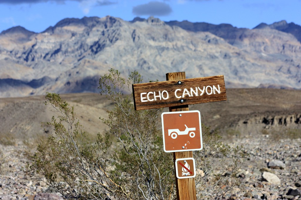

Echo Canyon Gateway by Overland Frontier, on Flickr
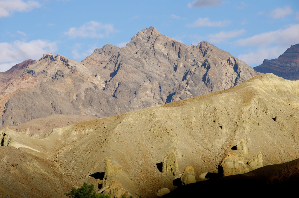

Death Valley Wilderness by Overland Frontier, on Flickr
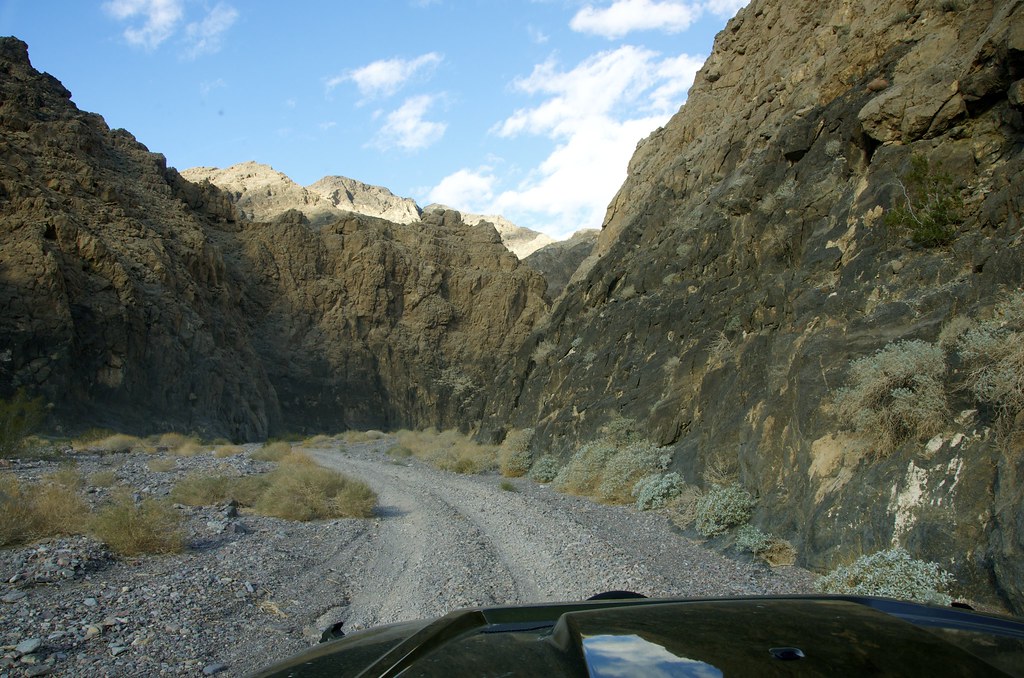

Echo Canyon by Overland Frontier, on Flickr
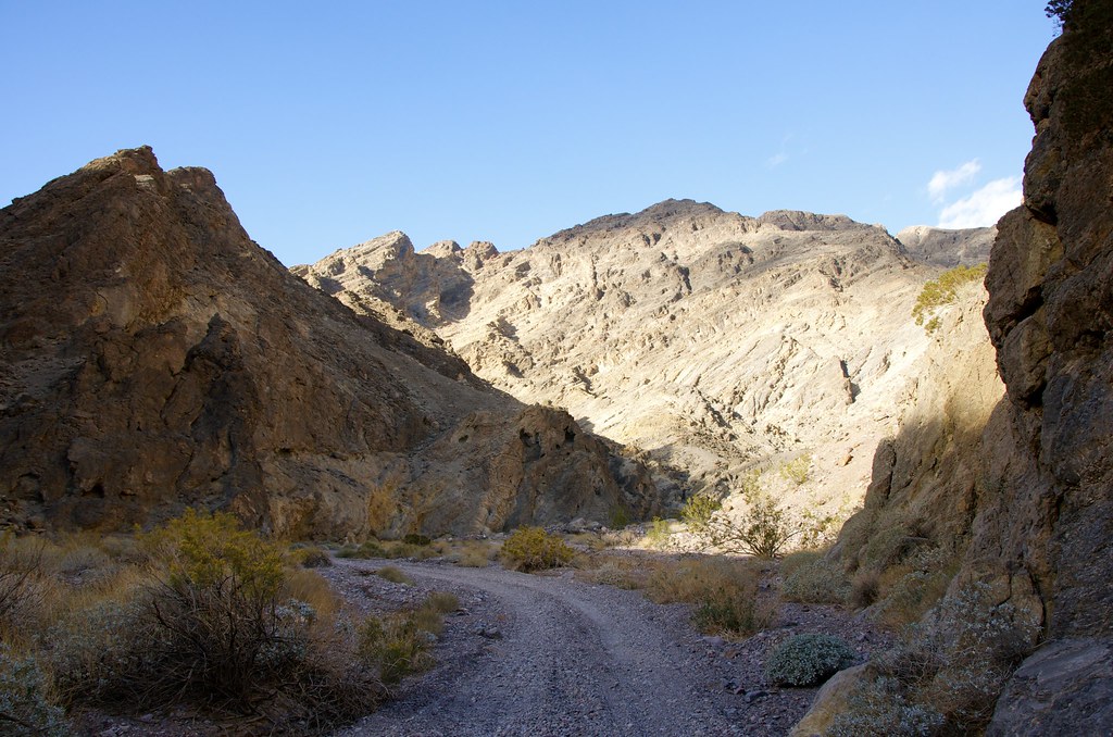

Echo Canyon by Overland Frontier, on Flickr
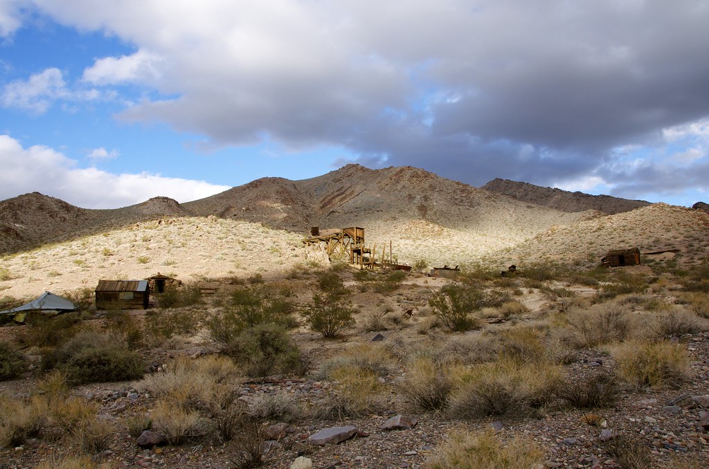

Inyo Mine by Overland Frontier, on Flickr
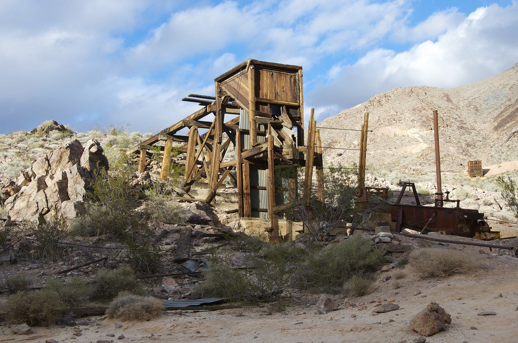

Inyo Mine by Overland Frontier, on Flickr
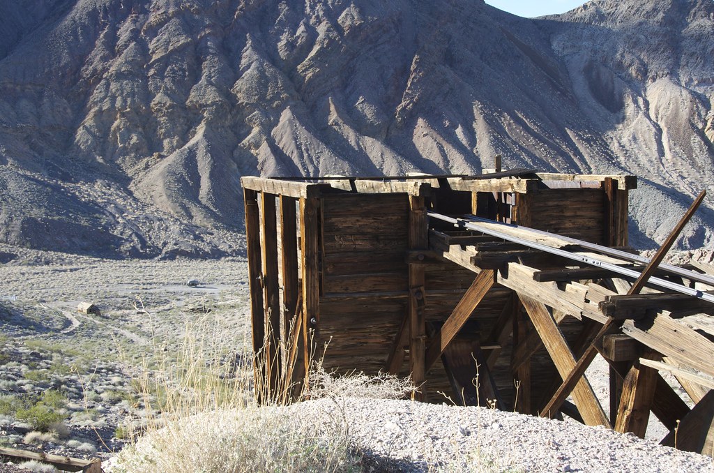

Inyo Mine by Overland Frontier, on Flickr
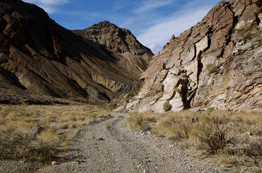

Abandoned Rail Line Past Inyo by Overland Frontier, on Flickr


Abandoned Rail Line Past Inyo by Overland Frontier, on Flickr

While exploring the mine, I encountered two families from Australia that had flown to Canada and rented Overland vehicles in Toronto and were making their way across the continent.
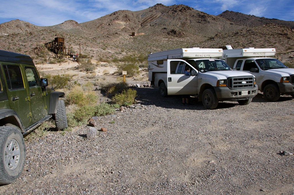

Australian Overlanders at Inyo by Overland Frontier, on Flickr

For more photos, on-line maps and GPS/GPX Tracklog check out:

http://www.overlandfrontier.com/trek-series/abandoned-tt-railway-red-pass-titus-canyon

Hope you will like and follow us on Facebook.

Ultimate Expedition To/From Overland Expo, Flagstaff, AZ – Leg 12 Post coming soon.
 
Last edited:

Globatrol

Observer
Wow! Fantastic trip report guys! And the info on your site is awesome. Very impressed....

We will be heading to Overland Expo next year and your information will be invaluable not to mention time saving!

I look forward to seeing some of the same sites that you've shared with us.

cheers for now.

Justin and Jen

www.globatrol.com

Currently we are in Europe and enjoying our second year on the road! Can't get enough of it to be honest....
 

Forum statistics

Threads
188,196
Messages
2,903,666
Members
229,665
Latest member
SANelson
Top