El Mirador?
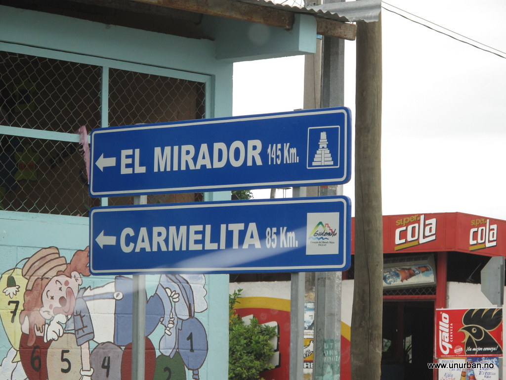
When we drove through the town of Flores on our way up to Tikal we noticed a road sign saying “El Mirador: 145 kilometers”. This triggered our curiosity. El Mirador is one of the biggest Maya ruins out there, and they are not yet excavated and restored. According to all the guide books the only way to get there is a five days arduous trek through the jungle with mules or, for the people with fat travel budgets, a flight in with a helicopter. But a road sign saying “El Mirador: 145 kilometers”??? We just had to drive up there to have a look…
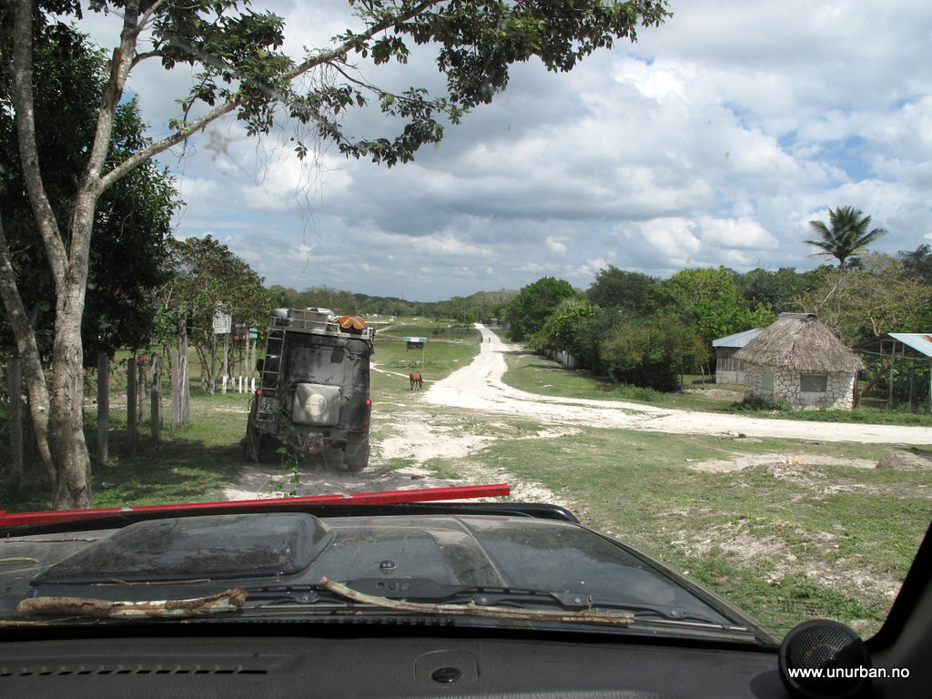
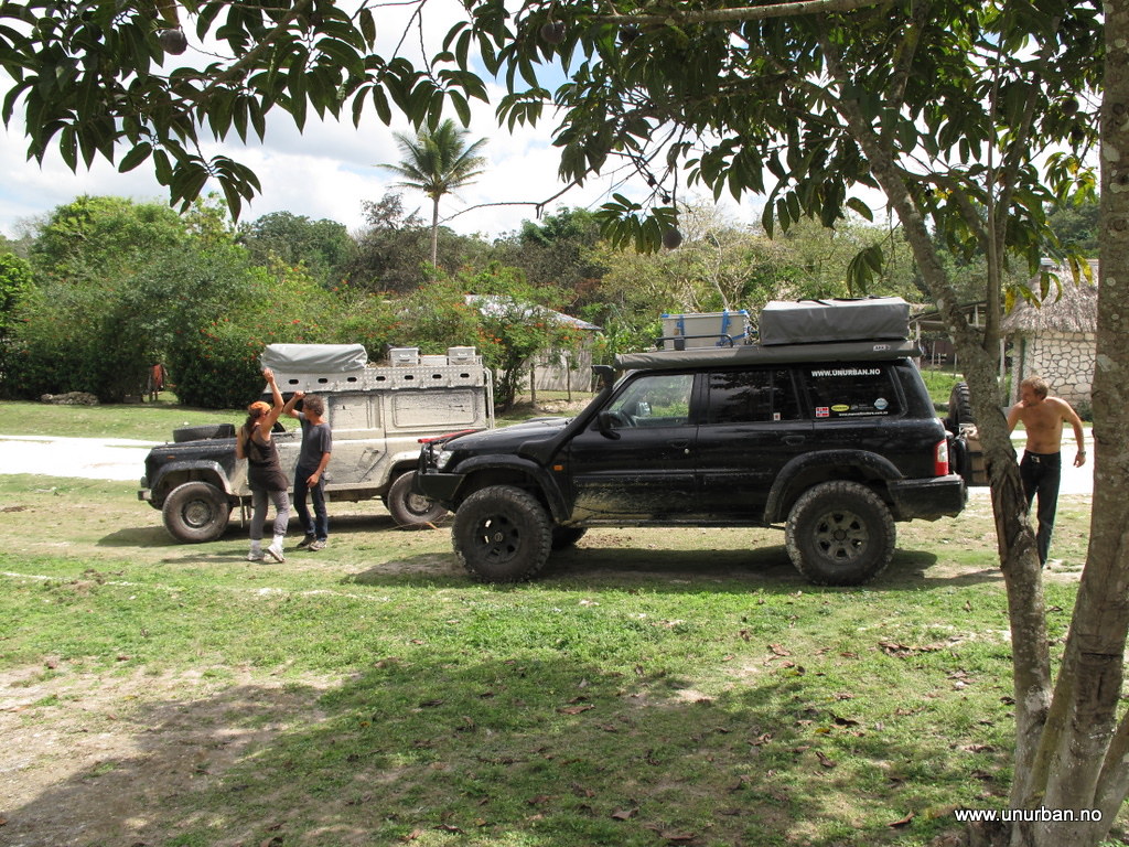
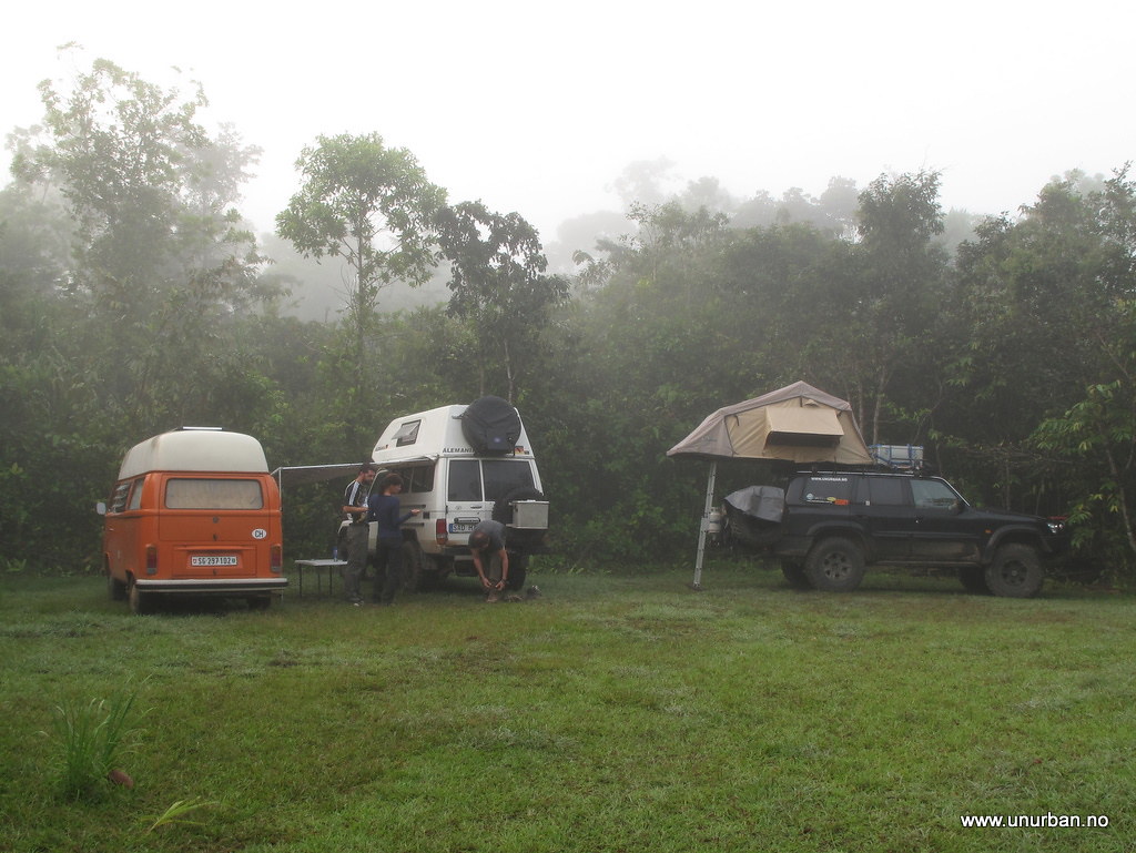
In Tikal we had met up with Christof and Judith in their Land Rover 110, and after a nice dinner at Jaguar Inn they were in on the plan! So the next morning we drove around the Lago de Petèn Itzá lake on the north side, and headed north towards a village named Carmelita, which is where the treks start from. The road up is rough, but not difficult. When we got there it was getting late, and we asked around for a place to stay. Jack jumped out of nowhere and told us this was a friendly place and that we could camp pretty much everywhere we wanted. So we decided to camp just next to the air strip in the middle of “town”.
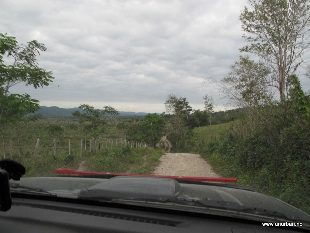
Road to Carmelita
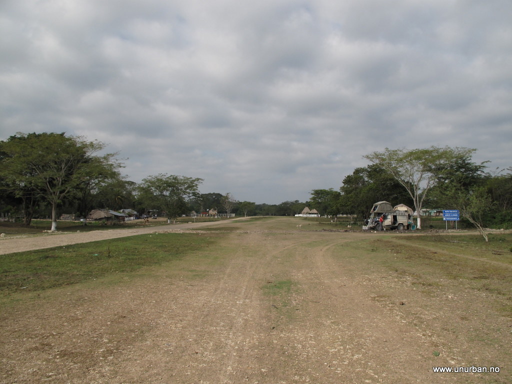
Jack turned out to be from Africa, but now living in Guatemala working as a tour guide. He had just transported a group of people up here for a trek in to El Mirador, and he told us that driving in could not be done. And we had heard the same thing from the military check point a few kilometers down the road. Not promising… The least promising detail was perhaps that El Mirador was now a National Park, and making new roads is strictly forbidden. Cra#! Now what?
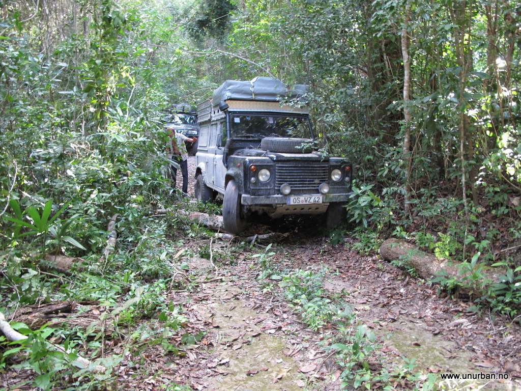
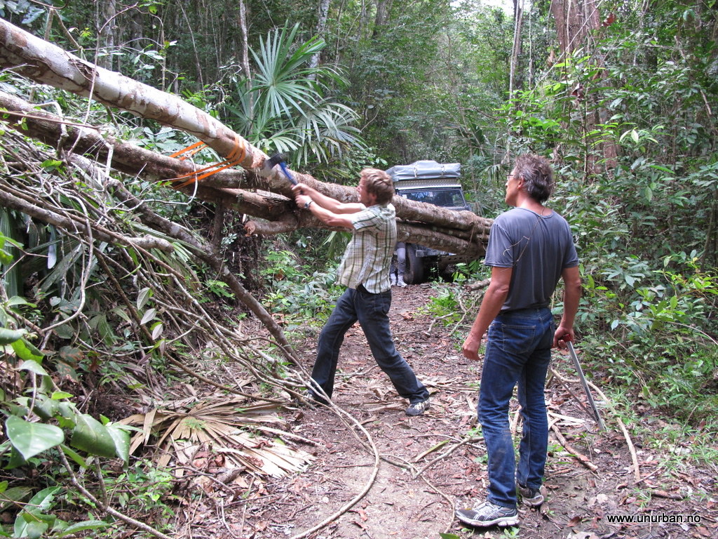
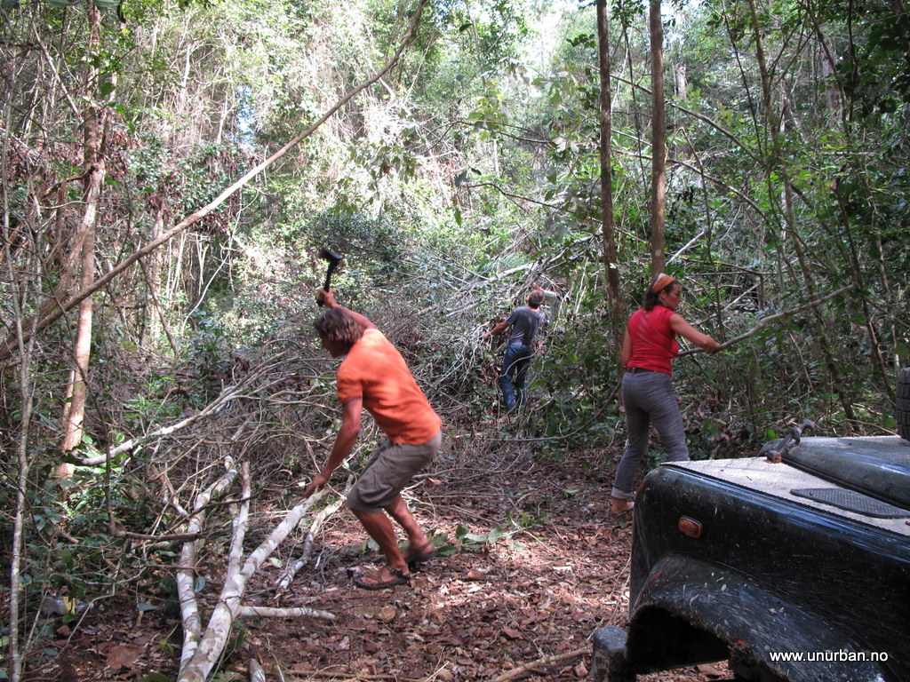
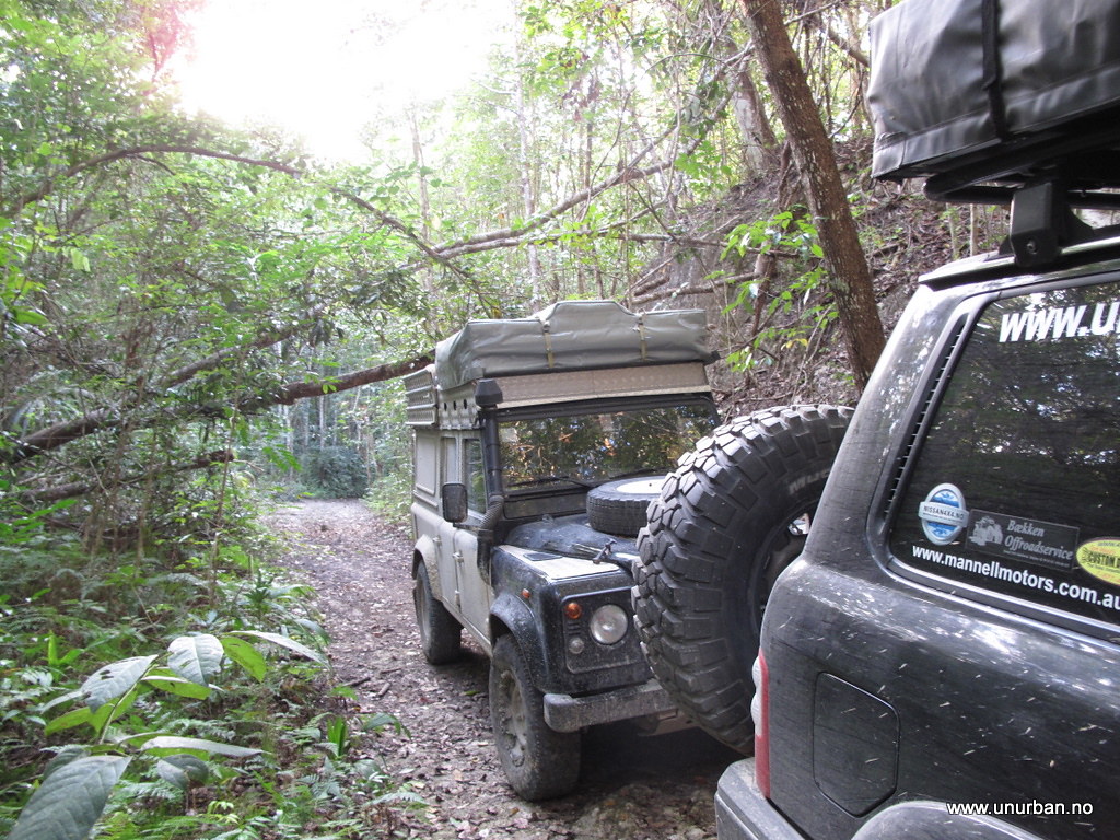
The next morning Jack came over and he had had a chat with some locals that mentioned a few other possibilities for driving in the area. Jack didn’t have a 4x4 truck (make a note of that for the next post…) so he was interested in joining us if we wanted to check out some local 4x4ing. And there are ruins up here that are not on the maps! One is supposed to have a fantastic location in a lake, but would require a chainsaw. We saved that one for the next time… And then went for another road going out to a different ruin via a jungle lake. We had already decided to drive a bit back south to try another “missing road” that would take us through the jungle and back to Tikal from the north, so we didn’t want to spend the whole day looking for these ruins. But after two and a half hour chopping our way through the jungle, we were exactly half way by the lake, and realized that we wouldn’t make to these ruins and back the same day.
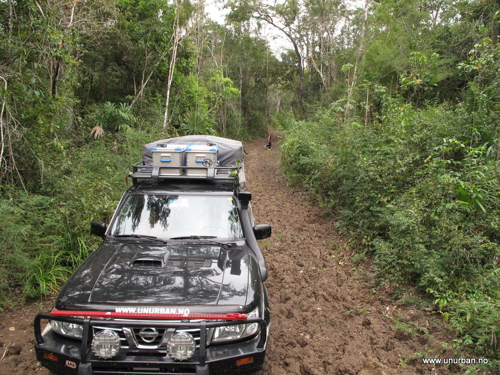
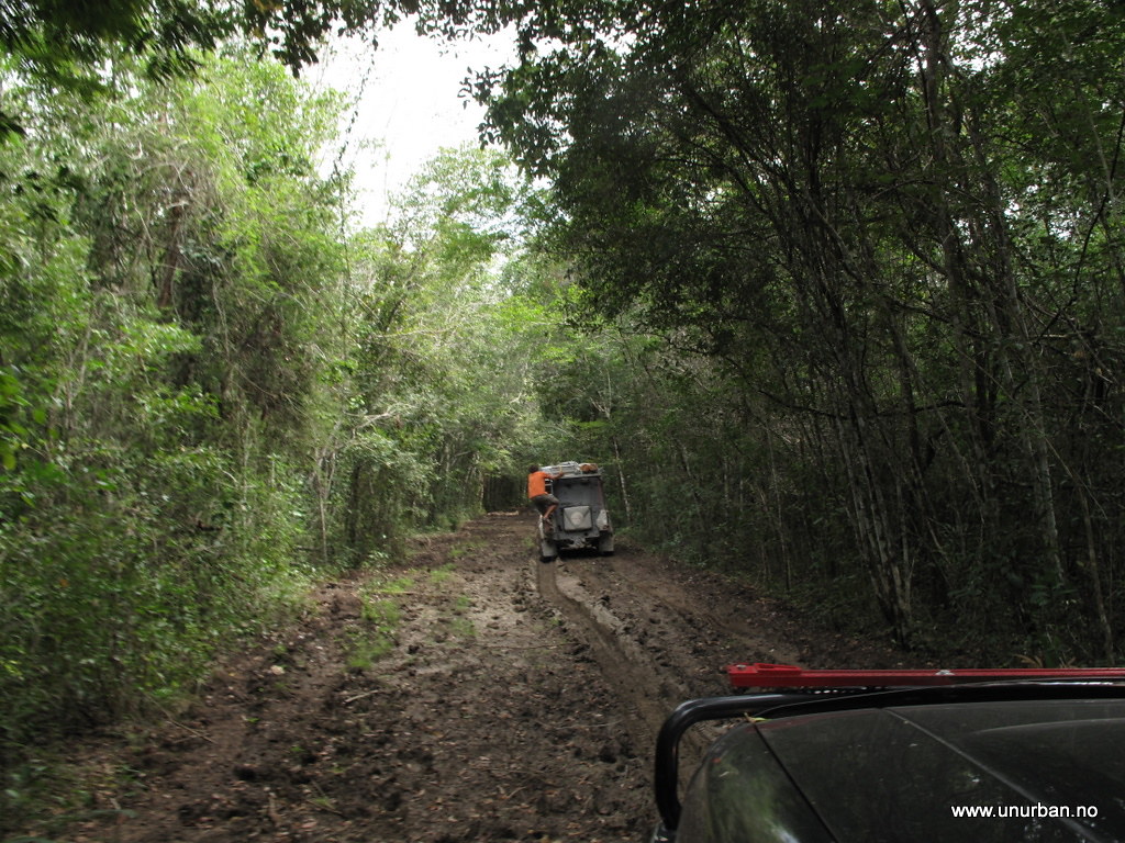
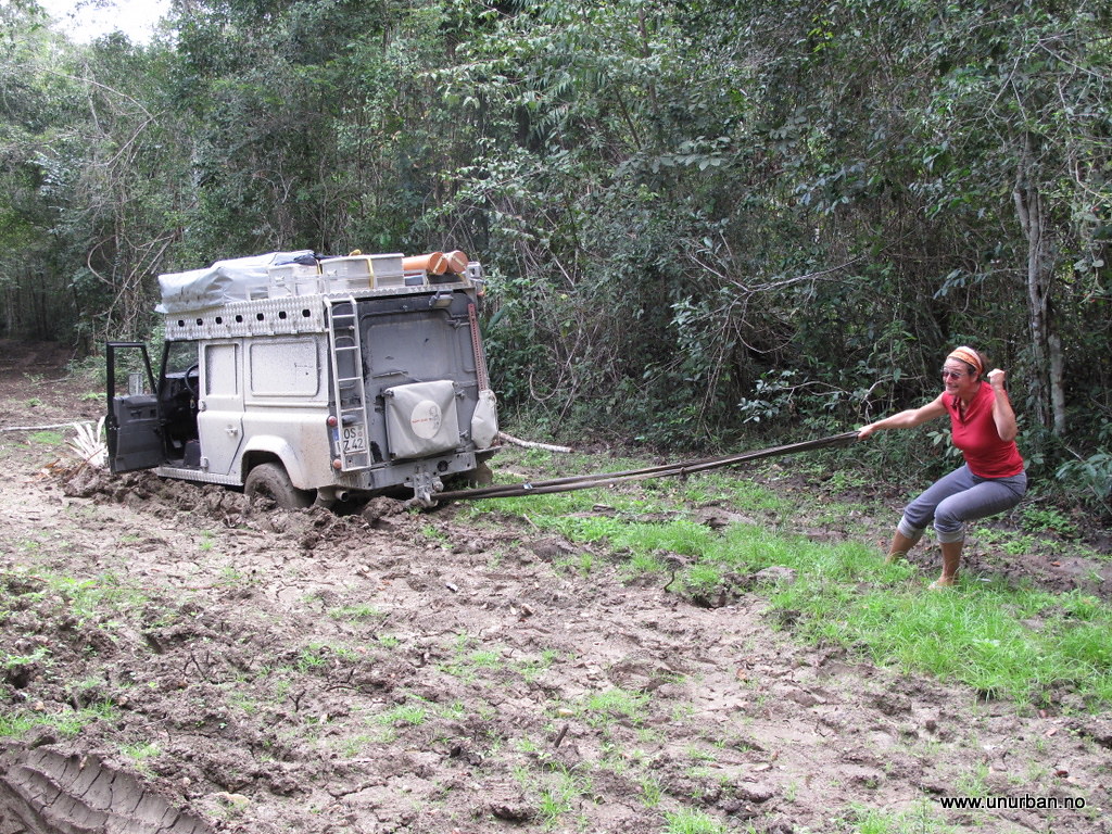
We turned around. Going back the same road took us about half an hour as all the trees were cleared away and we knew the mud holes.
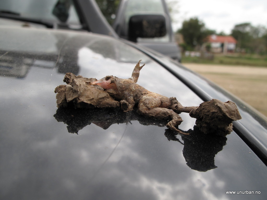
It is possible we were driving kind of fast on our way back out. We wondered for a long time what this frog’s last thoughts could have been... (sorry for the graphic pic (but it didn’t suffer, as it was most certain instantly fried after landing on the hood...))
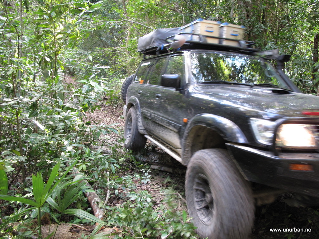
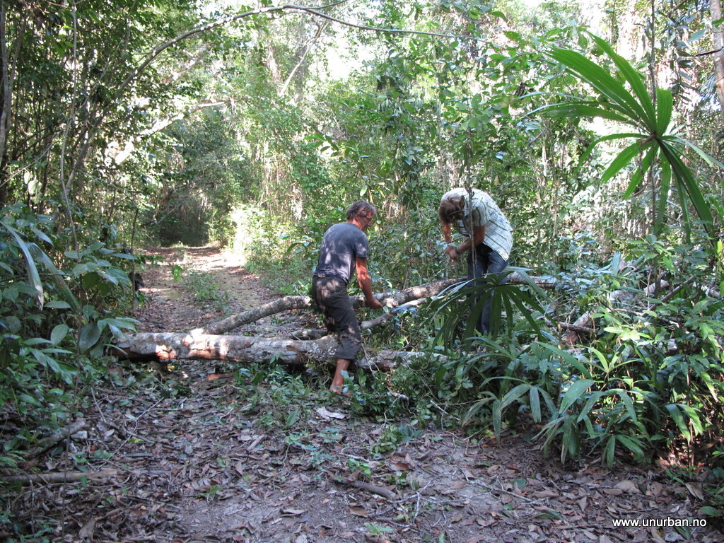
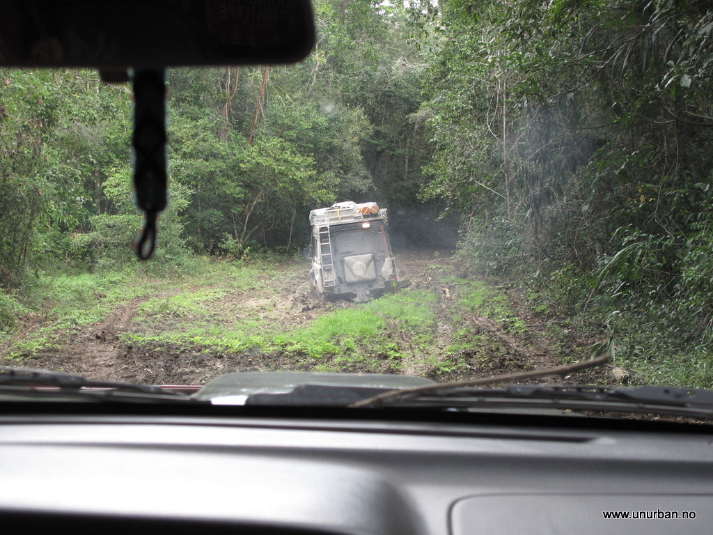
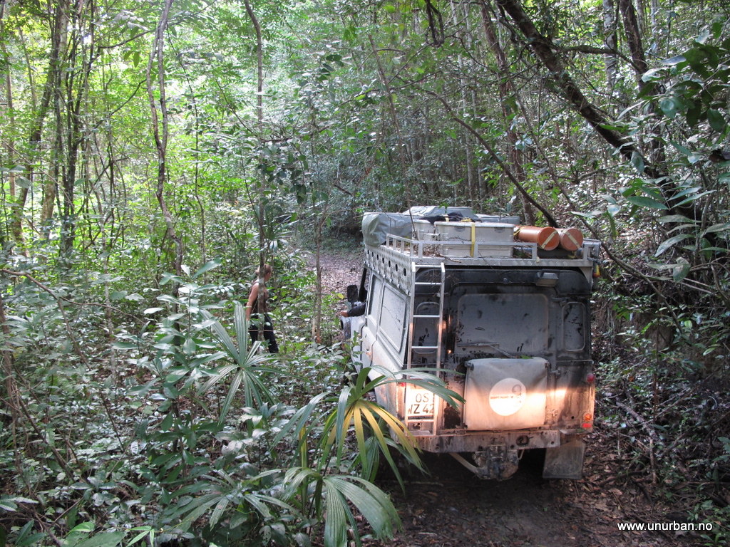
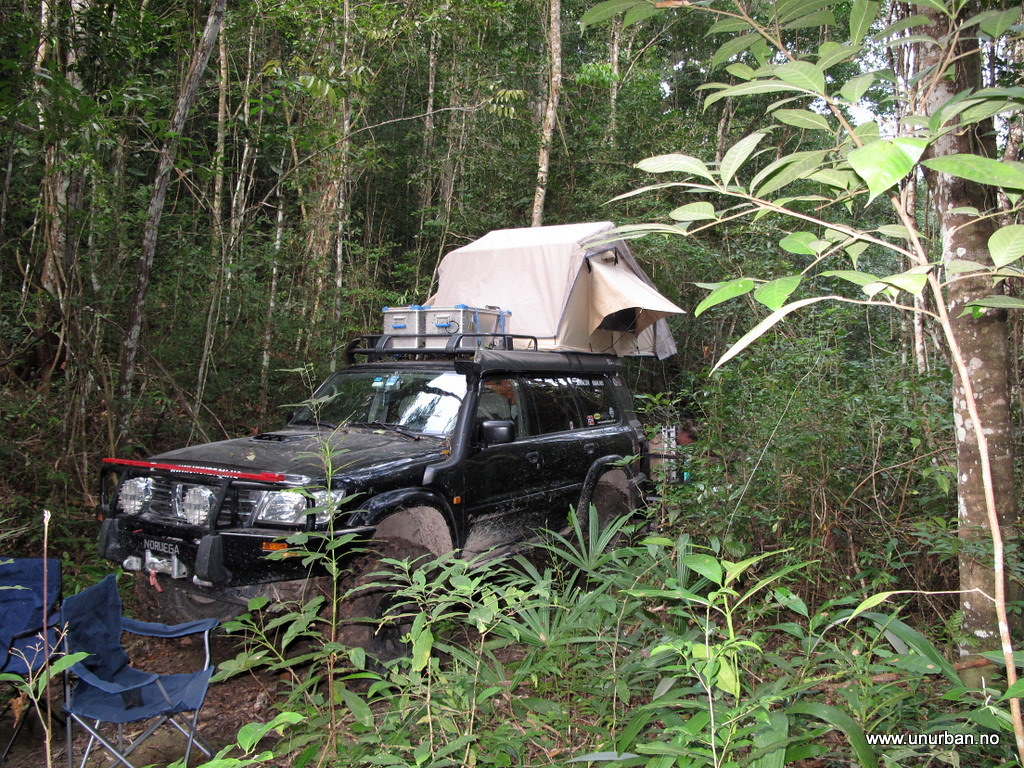
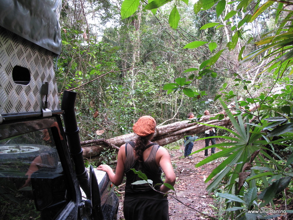
Back in Carmelita we had a break and then started driving south to some Maya ruins called El Zotz. Jack had some stuff to do in Carmelita, but told us he would try to drive in to El Zots a later to check out the place. The road in was a lot tougher than we expected, and the 30 minutes that the military check point guys told us it should take, was suddenly more like two hours. On the way in we drove through quite a few big mud holes and had to clear trees laying across the road.
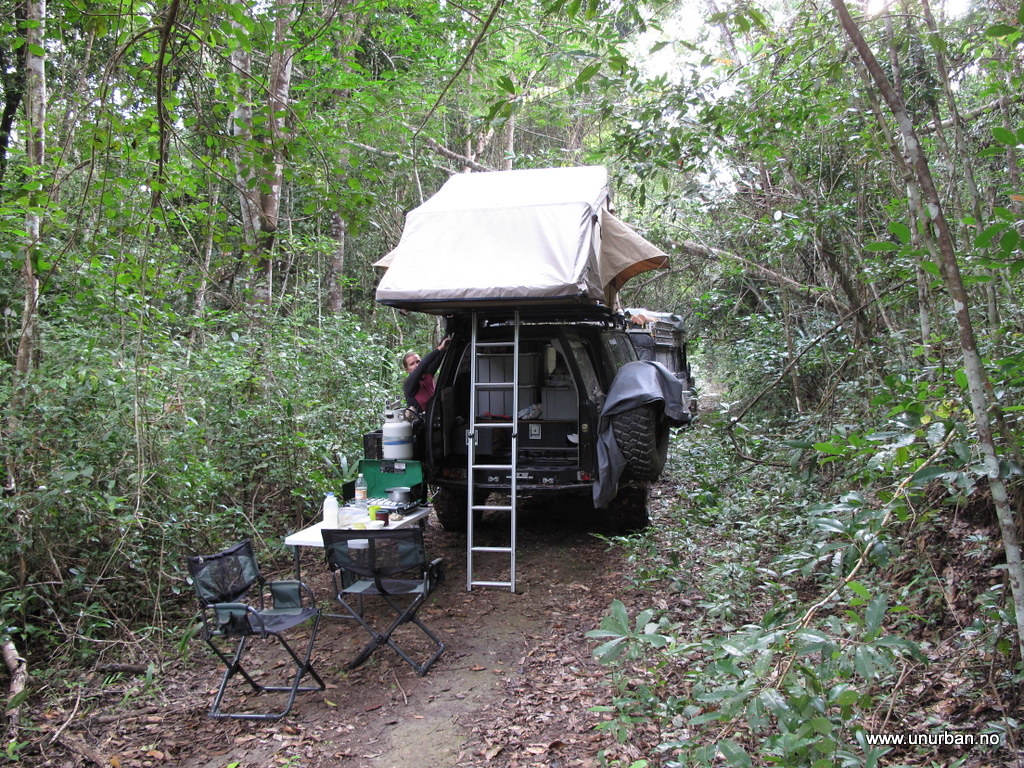
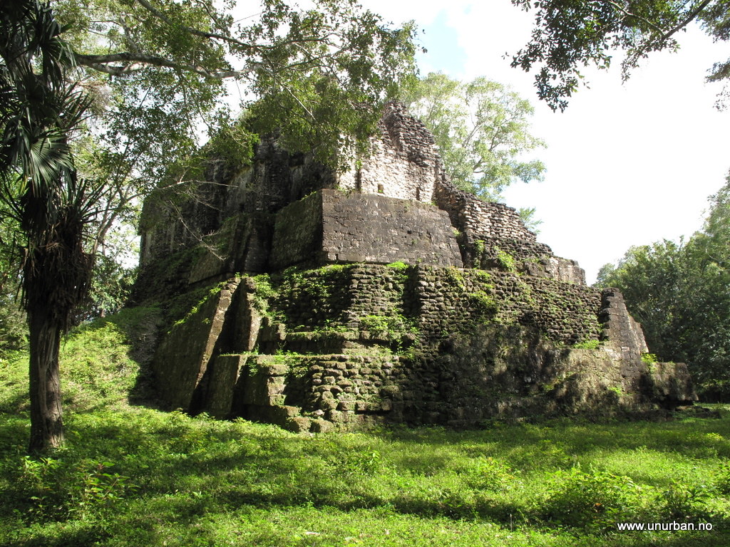
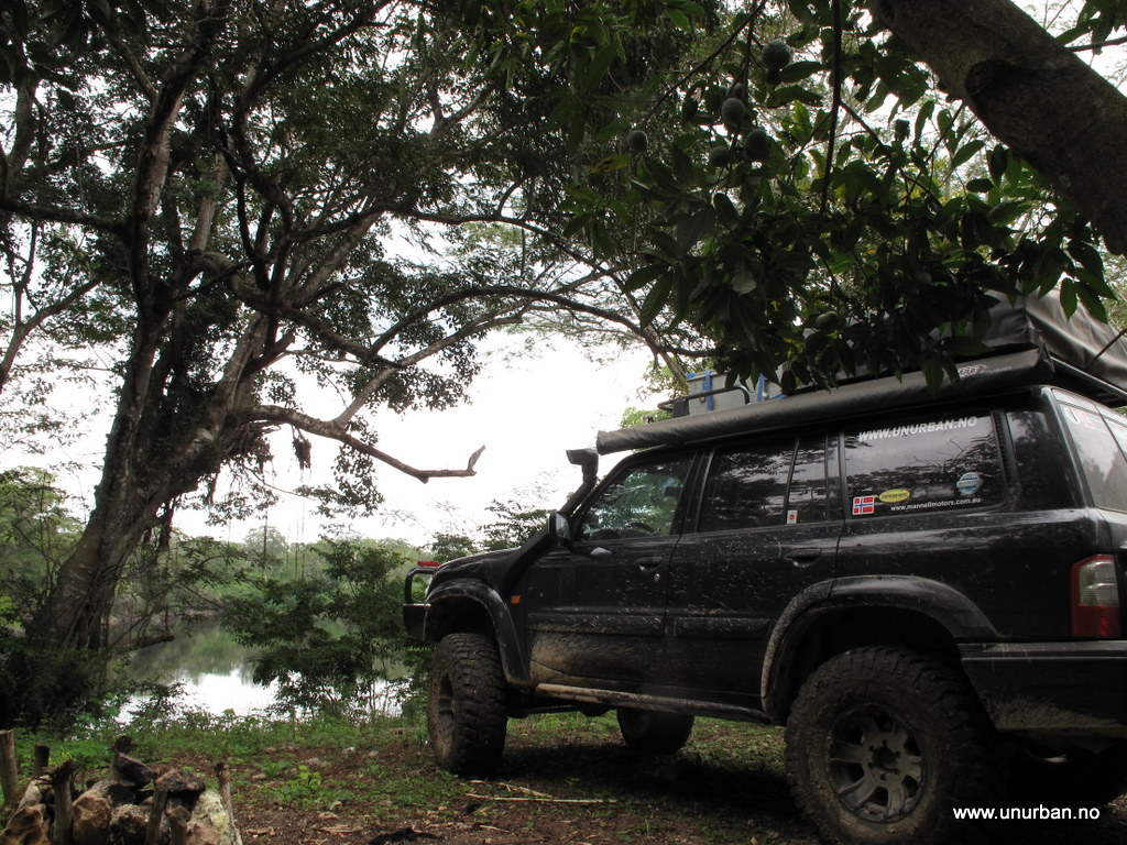
At El Zotz “park” there is basic camping facilities even including cold showers. And if you ever decide to go there, remember to keep driving past the first group of houses, and up a small hill to the left. The road ends there in a big “parking lot”. Only minutes after we parked our vehicles we saw in the sky why the Mayan called this place El Zots, meaning “bat”. When the sun goes down millions of bats fly out of nearby caves and fly over the temples. An amazing sight!
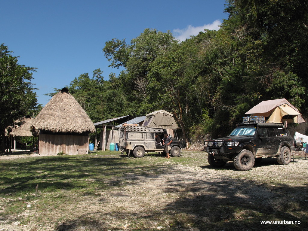
We did of course ask the guys working in the park if it was possible to keep driving through the jungle to Uaxactun north of Tikal, but they all told us that this would not be possible. Hmm… Would we have to turn around a second time? We postponed the decision to the next morning. And where the he## was Jack…?
E&M

When we drove through the town of Flores on our way up to Tikal we noticed a road sign saying “El Mirador: 145 kilometers”. This triggered our curiosity. El Mirador is one of the biggest Maya ruins out there, and they are not yet excavated and restored. According to all the guide books the only way to get there is a five days arduous trek through the jungle with mules or, for the people with fat travel budgets, a flight in with a helicopter. But a road sign saying “El Mirador: 145 kilometers”??? We just had to drive up there to have a look…
In Tikal we had met up with Christof and Judith in their Land Rover 110, and after a nice dinner at Jaguar Inn they were in on the plan! So the next morning we drove around the Lago de Petèn Itzá lake on the north side, and headed north towards a village named Carmelita, which is where the treks start from. The road up is rough, but not difficult. When we got there it was getting late, and we asked around for a place to stay. Jack jumped out of nowhere and told us this was a friendly place and that we could camp pretty much everywhere we wanted. So we decided to camp just next to the air strip in the middle of “town”.

Road to Carmelita

Jack turned out to be from Africa, but now living in Guatemala working as a tour guide. He had just transported a group of people up here for a trek in to El Mirador, and he told us that driving in could not be done. And we had heard the same thing from the military check point a few kilometers down the road. Not promising… The least promising detail was perhaps that El Mirador was now a National Park, and making new roads is strictly forbidden. Cra#! Now what?
The next morning Jack came over and he had had a chat with some locals that mentioned a few other possibilities for driving in the area. Jack didn’t have a 4x4 truck (make a note of that for the next post…) so he was interested in joining us if we wanted to check out some local 4x4ing. And there are ruins up here that are not on the maps! One is supposed to have a fantastic location in a lake, but would require a chainsaw. We saved that one for the next time… And then went for another road going out to a different ruin via a jungle lake. We had already decided to drive a bit back south to try another “missing road” that would take us through the jungle and back to Tikal from the north, so we didn’t want to spend the whole day looking for these ruins. But after two and a half hour chopping our way through the jungle, we were exactly half way by the lake, and realized that we wouldn’t make to these ruins and back the same day.


We turned around. Going back the same road took us about half an hour as all the trees were cleared away and we knew the mud holes.

It is possible we were driving kind of fast on our way back out. We wondered for a long time what this frog’s last thoughts could have been... (sorry for the graphic pic (but it didn’t suffer, as it was most certain instantly fried after landing on the hood...))
Back in Carmelita we had a break and then started driving south to some Maya ruins called El Zotz. Jack had some stuff to do in Carmelita, but told us he would try to drive in to El Zots a later to check out the place. The road in was a lot tougher than we expected, and the 30 minutes that the military check point guys told us it should take, was suddenly more like two hours. On the way in we drove through quite a few big mud holes and had to clear trees laying across the road.

At El Zotz “park” there is basic camping facilities even including cold showers. And if you ever decide to go there, remember to keep driving past the first group of houses, and up a small hill to the left. The road ends there in a big “parking lot”. Only minutes after we parked our vehicles we saw in the sky why the Mayan called this place El Zots, meaning “bat”. When the sun goes down millions of bats fly out of nearby caves and fly over the temples. An amazing sight!

We did of course ask the guys working in the park if it was possible to keep driving through the jungle to Uaxactun north of Tikal, but they all told us that this would not be possible. Hmm… Would we have to turn around a second time? We postponed the decision to the next morning. And where the he## was Jack…?
E&M

