unURBAN Adventures - Alaska to Argentina to AFRICA!

unURBAN

Adventurer
dear unUrbans.
I've been following your journey and I'm happy U're doing fine.
I wanted not to "give an advice" as that's just cheap... but there is one thing You should definitely do after this 100Kkm trip: fill front axle knuckle flanges with fresh grease.
this will save You plenty of trouble .....

Best reg. RaV

Thanks for advice! And yes, I will. The axels will be serviced and prepared for another 100 000 km! As it is now "only" 10 - 15 tousand km left I'm kind of becomming lazy. Not smart really, as the next part of our trip is through pretty remote areas and on bad roads...

E
 
Last edited:

ravscin

Ravscin
Other items that came with us in our bags are a stack of guide books to see us through Northern Africa, Middle East, and Eastern Europe, and also a long static rope for a winch extension line. The rainy season in Eastern Africa is just about to kick off, and we're going to have to drive through it. Would be really nice with a new set of 37 inch BFG Mud Terrains for that job, but they wouldn't fit in the bags…

More soon!
Espen

Espen!
Do not go higher then 35 INCH! If You do so U'll change front wheel bearings every 10-15Tkm.
Of course if U hit the black road - no problem. But as I see U're gone off-road little bit now... ;-)

Better go for portal axles - I can recommend some if You need.
mvh RaV
 

unURBAN

Adventurer
Do not go higher then 35 INCH! If You do so U'll change front wheel bearings every 10-15Tkm.
Hey RaV,

37s are not a problem for the Patrol axles. I changed my front bearings after about 80 000 km on 37s, and when I took them out I could see that they could probably do 80 000 more (but I had the new ones so I put them in). I check my front bearings every 10-12 000 km and tighten them if necessary. It is also a good idea to take off as much old grease as you can and fill up with new. This is on mixed surfaces. The Icelandics running 44" tires service on 10 000, and replace bearings on 100 000 km.

The rear bearings in my Patrol are still the original bearings from when the car was New in 2004, and I have no play in them at all at 205 000 km (120 000 km on big tires).

Portals would be fun, but the only Patrol I know with this that has done 100 000 km pluss, is the one Mark's in Australia has built. Problem is the price........ :) Which portals do you use in Poland?

Thanks for comment!
Espen
 

ravscin

Ravscin
Hey Espen
You're right - Mark's Acc. are the best. Cost in PL app 10tEURO.
Others are too slow or not good enough. For heavy use we built C303 convertions but they have no daily use...

Good to hear Your bearings are fine.
I also have never touched rear ones - as they claim no mending. The PATROL has 500tkm on clock.

Sorry for interrupting your journey-thread with tech crap ;-)
Reg RaV
 
Last edited:

unURBAN

Adventurer
Rainy season

8639191735_a4e4c8d28a_b_d.jpg


Driving north from South Africa in May 2012 we traveled in the dry season for 5 months. We did not have a drop of rain for at least three months in the middle, and it made life on the road nice and easy. As we’ve had a break and stored the Patrol for 6 months in Arusha, we are now going to try out how it is to travel in Africa in the rainy season. The benefit with traveling in the rainy season is that the landscape will look different from the brown, dusty and dry landscape we left in September. Now the landscape is green and flowers are blooming.

8093756728_a1fd2b2e55_b_d.jpg


8639167095_cf4757d28e_b_d.jpg


Having been on the road again for about a week we have realized that travel life in the rainy season will be a bit different. Rainy season does not mean that it rains the whole day, even if that happens some days too. Most of the time it rains for a few hours each day, and so far that has mostly been in the evening and night. It makes it more challenging to cook dinner in the evening as it is pouring down with rain. Maybe most evening meals will turn into soups…

8641950053_b9dfa2273b_b_d.jpg


Road conditions will be more challenging since dirt roads turns into mud with ponds of water. Now we are in Nairobi and here it has been some really heavy rain, and that goes for the north and north west of Kenya too, and this is where we want to travel.

8643049494_f526ee292c_b_d.jpg


Reports are saying that there have been flash floods and roads have been washed away, but it is really difficult to know how the conditions really are and the only way is to head north and figure it out for ourselves.

Maybe we will be sitting like these baboons in a few days’ time, looking up at the skies and waiting for the rain to stop.

8640295268_9db1879f42_b_d.jpg


Malin
 

unURBAN

Adventurer
Southern Kenya

From Malin’s slide show of rain, you have probably figured out that now is rainy season in East Africa. We knew of course, but decided that this would only make it more interesting. Our first stop after Zanzibar was Manfred’s place in Arusha where we had the Patrol stored, and from there, our idea was to cross into Kenya. Earlier we had also discussed driving west and around Lake Victoria via Rwanda and Uganda, but as we wanted to be at least in Egypt by the start of Ramadan 9th of July, we concluded that this would mean that we had to “rush” through many countries to be there in time. Rwanda and Uganda has to be put on the to-do list for next time…

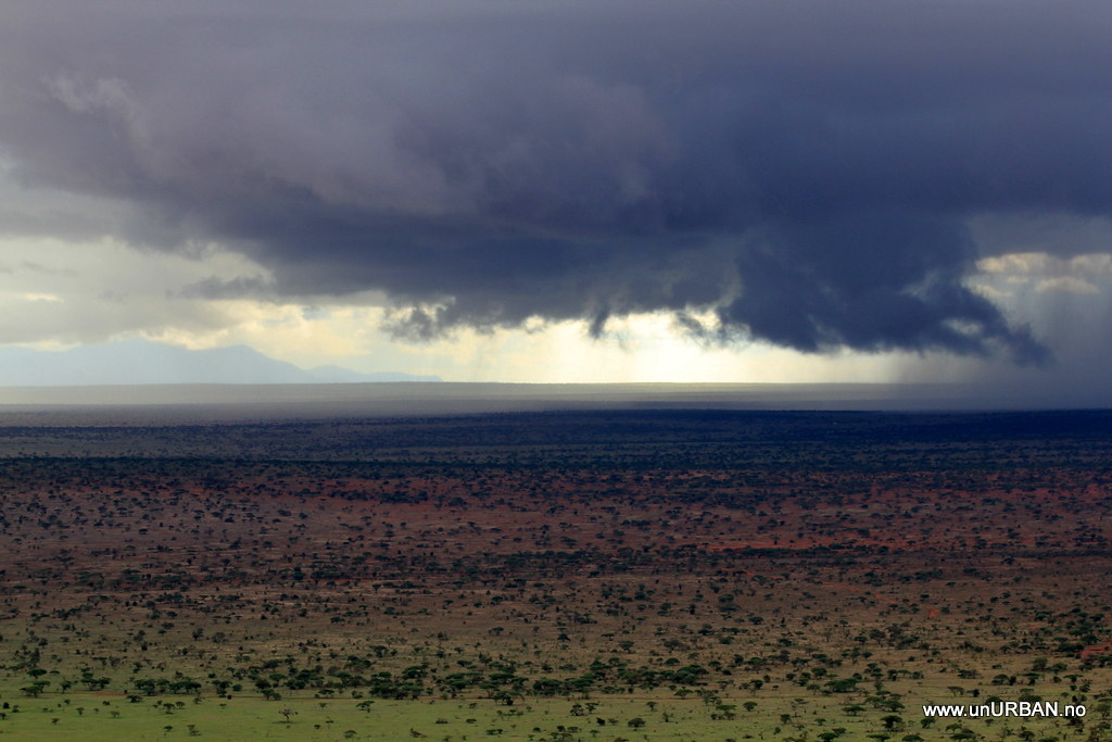
Anyway, after a couple of days on Manfred’s farm in Arusha in at times heavy rain, we were not longer so sure that traveling in the rainy season would be more interesting. Or, maybe interesting, but definitely not comfortable. A roof top tent is nice, but it is still only a tent, and the mud is really more like a combination of glue and grease. We left Arusha in rain.
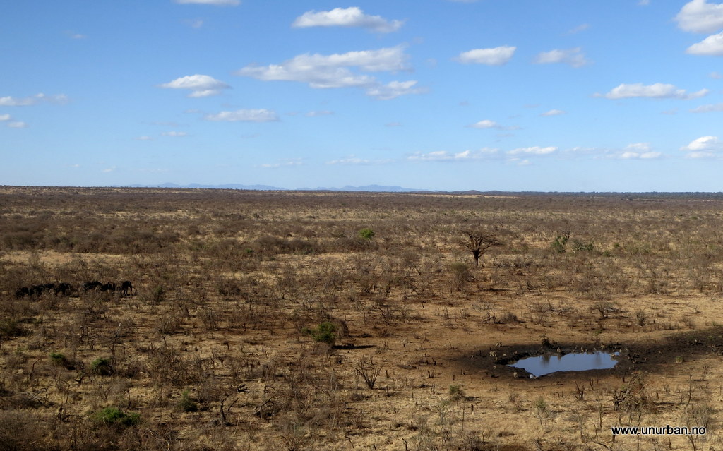
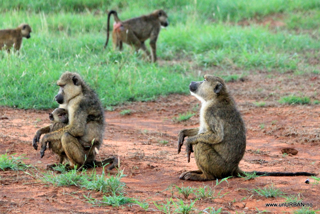
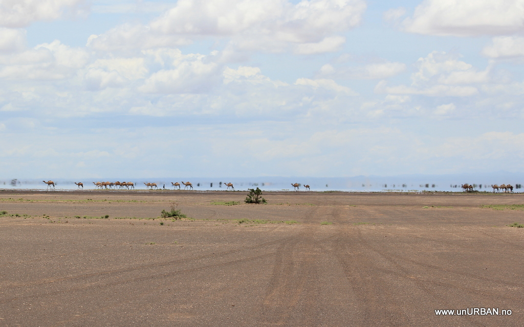
On the map the road we that we took from Tanzania to Kenya is marked as a highway. In real life it is a dirt track. Fortunately, it wasn’t too wet when we drove in to Kenya and to through Tsavo West National Park. As it is a public road, there is no fee, and we saw elephants, impalas, giraffes, and other animals along the road. Just after Tsavo West National Park we entered Lumo Wildlife Reserve and Lions Bluff. We had a great camp site with excellent views the first night, and for the second night we got an offer from the lodge we just couldn’t refuse. It is definitely low season. It is a remarkable lodge with an unbeatable location.

8643048770_ba16d41e2d_b_d.jpg


8640293418_61bb27d22e_b_d.jpg


We drove around in the Reserve for hours and hours, but as it was raining we were told that the animals normally would hide in vegetation. Others come out to “play” in the red mud.

8640271866_41014190fb_b_d.jpg


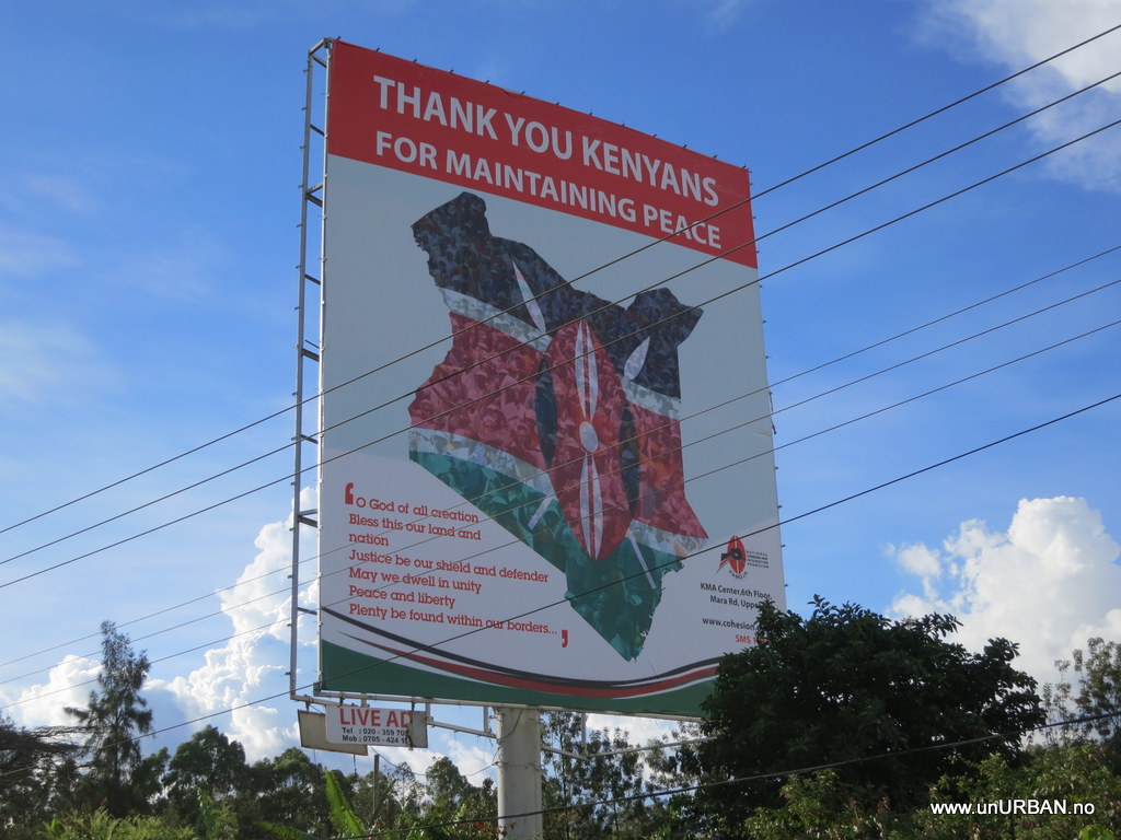
From the Tsavo area we headed towards Nairobi. This is the highway between Mombasa on the coast and the capital in the inland, and this really is a good road with lots of traffic and trucks. There are also a few police checkpoints along the road, but unlike the police in Tanzania these guys always smiled and greeted us, and waived us through. After almost two months (all together before and after Antarctica) having to stop in almost every single police checkpoint (and there are MANY of them) we were SERIOUSLY fed up with corrupt traffic police leaning in the window telling us some BS about some kind of problem. Most were quite good about not suggesting directly that they wanted some money under the table, but the question “so what do you want to do about this problem?” wasn’t hard to understand. After a little while they realize that we are not going to give them any money and waive us on, but we have wasted a significant amount of time waiting for corrupt police and stories about having to go to court. And the most irritating part is when they finally waive us through, it seems like they have forgot about the whole thing: “…and welcome to Tanzania!! Karibu!” Sure. ******** off! There. I just had to get it out. Sad that this is what you remember best from Tanzania…
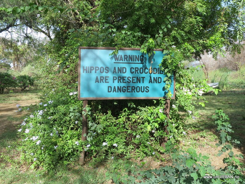
A-a-a-anyway! We made it to Nairobi, and as it was getting late, we didn’t want to drive too far into the city center as we’d already been sitting in traffic for an hour before even reaching the outskirts.

8643063170_2db20f2a1b_b_d.jpg


We took off towards Karen, an ex-pat area a few kilometers west of the city center. Our GPS took us straight to Karen Camp, where we parked in an inch of water. A huge rain storm had come over Nairobi the last couple of days, and it was water everywhere and the power was mostly out.

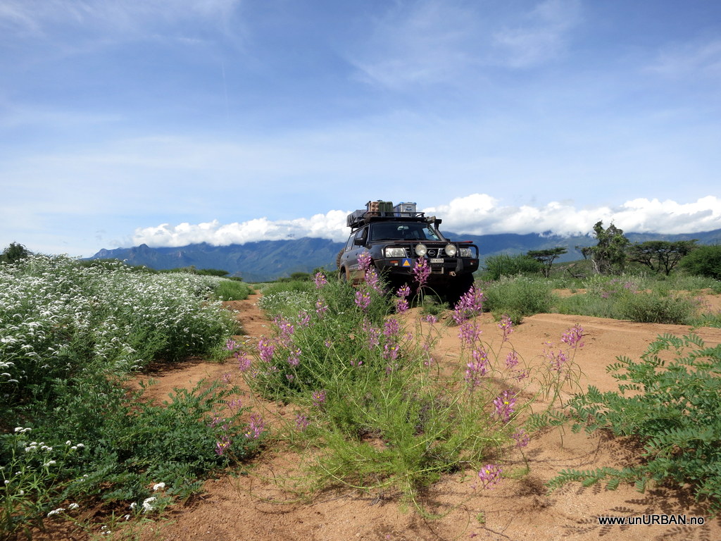
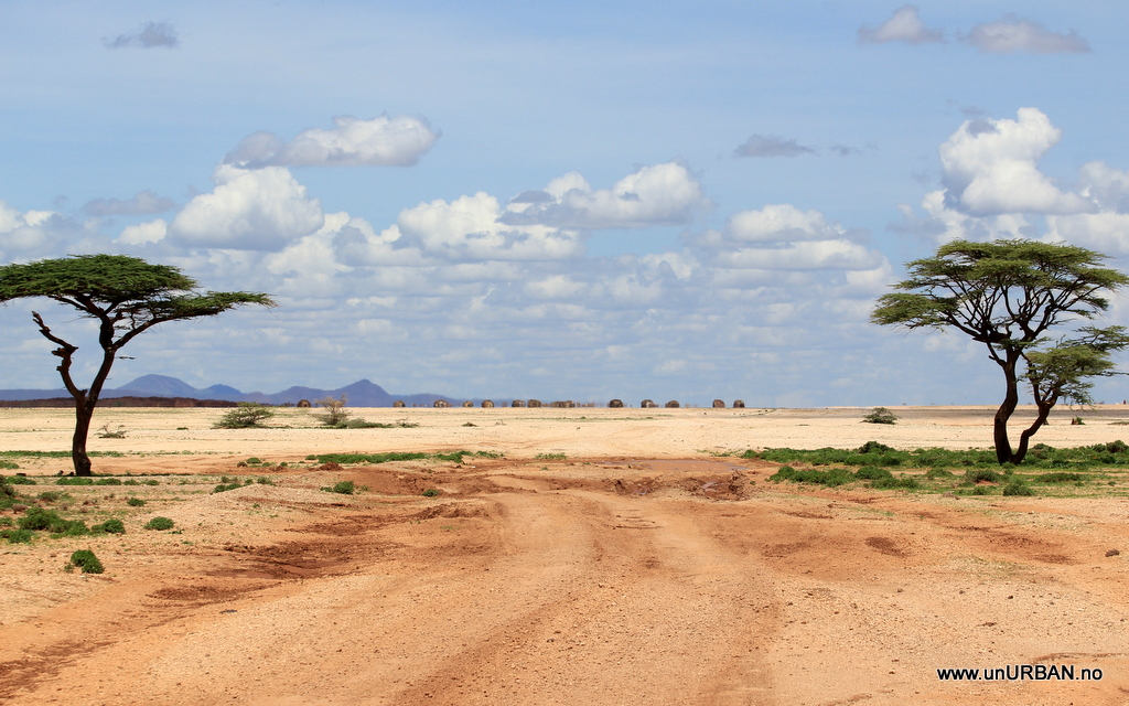
Our original idea was to drive north along the “Turkana Route” that takes you through a beautiful, but very remote, area in Northern Kenya. But because it is now the rainy season, and we’d seen how much it can rain and the consequences of this, even in the capitol city, we definitely had our doubts. Harry and Anneka had just came down the “main road” from Moyale via Marsabit, and told us the road was terrible. In the news we heard that the road was washed out several places. We asked and asked, but the answer was always the same: It is probably bad, but you can’t really know unless you actually go there. We’d also done quite a bit of research online to look for fellow overlanders on their way north, but it seems we are the only ones considering this route at the time. Even after couple of nights at Jungle Junction (we were hoping other overlanders would show up..) we weren’t really any wiser when it came to road conditions in the Turkana region. There was only one thing to do. Get in the car, drive up, and take a look for ourselves.

8671191916_45ddf5b572_b_d.jpg


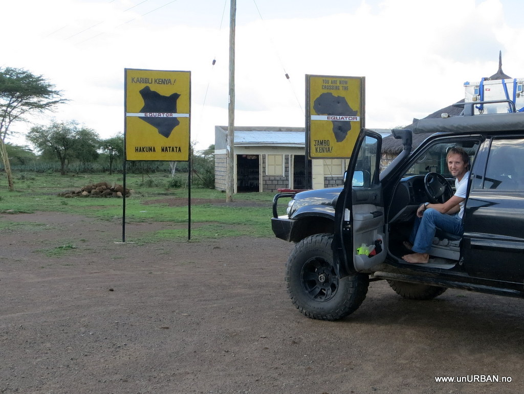
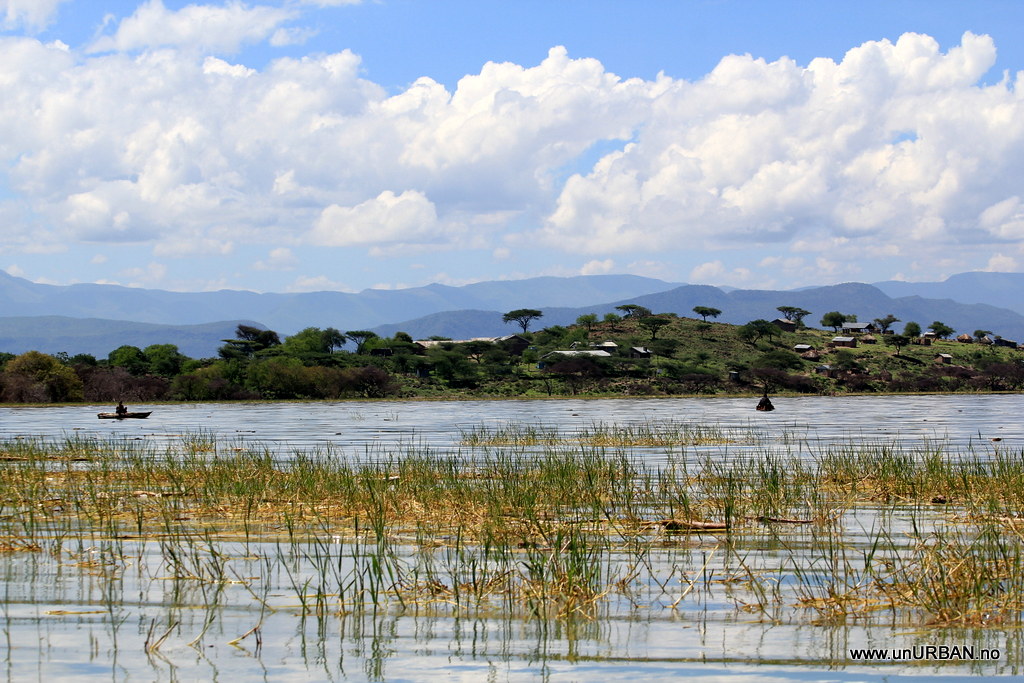
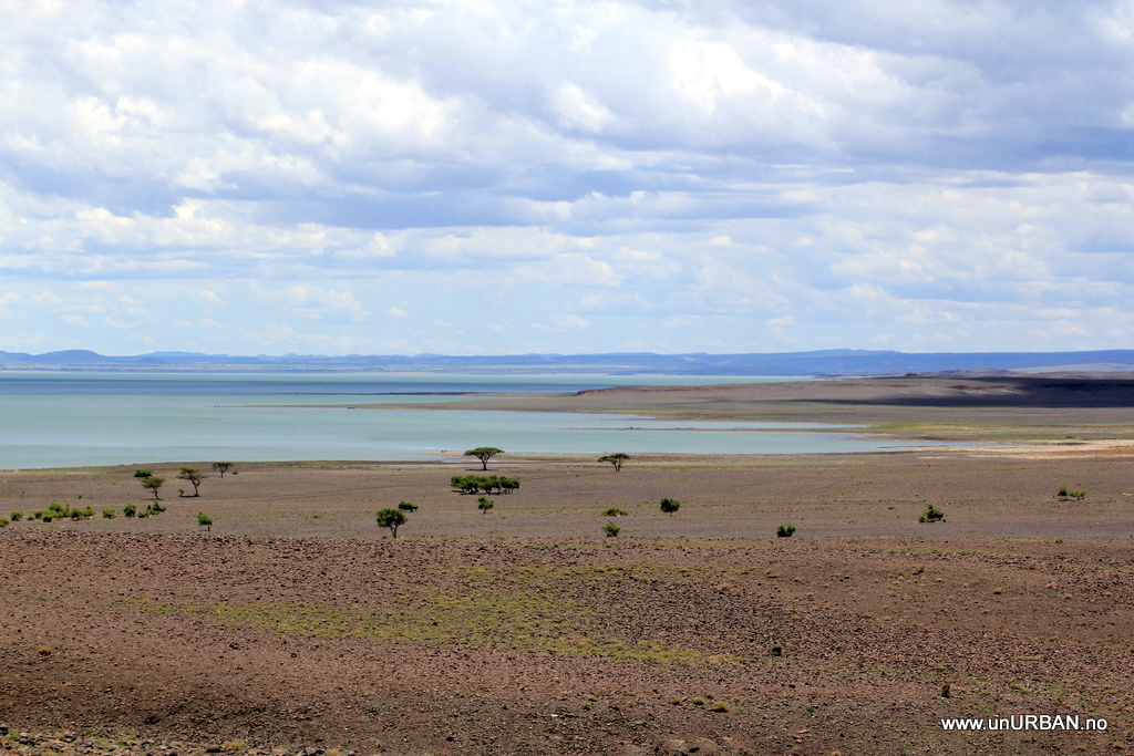
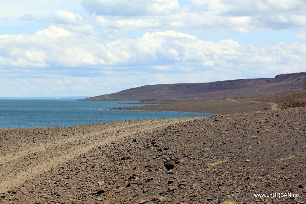
Going north, we took a westerly route, taking us past the Rift Valley Lakes of Naivasha, Nakuru, Bogoria and Baringo. We had one night at a quiet place on the shore of Naivasha, and next day we went up to Roberts Camp at Baringo. On the way here we crossed equator, and the Patrol is back in the northern hemisphere for the first time since Ecuador.

8670081867_ae6311461f_b_d.jpg


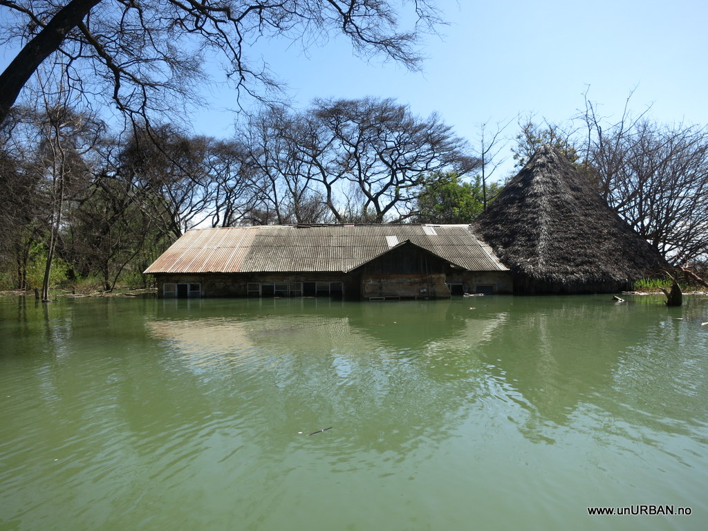
At the gate we were told that they technically speaking was closed, but if we were self-sufficient, we could stay if we didn’t mind having workers around. They were renovating the site. And that, we realized, was absolutely necessary. Not because the place was run down, or anything, but because the lake had risen several meters the last year. They had lost several bungalows, and most of the camping area was gone. They were now cutting down trees and making more space away from the lake.

8680419679_dedf340bc8_b_d.jpg


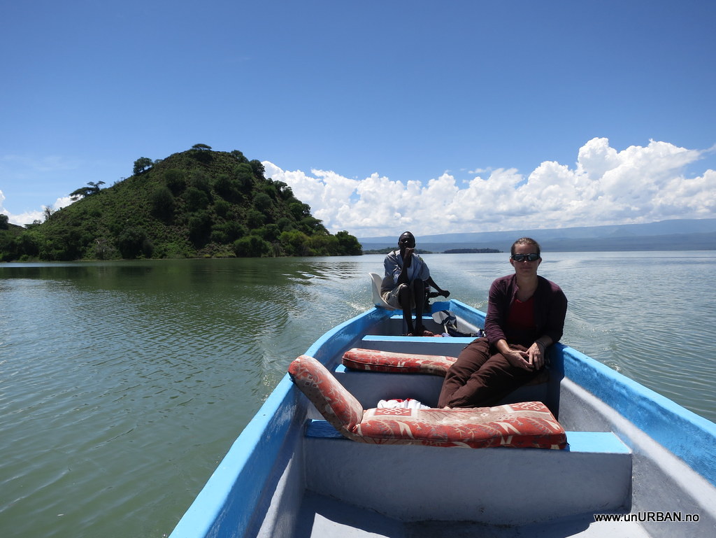
On Lake Baringo we also booked a boat trip to look at the lake from a different perspective, and we had some very nice hours out on the lake. From the boat we could see that some of the other resorts were even worse off than Roberts Camp.

8681534924_b27d39753c_b_d.jpg


8681533126_a7faabafe3_b_d.jpg


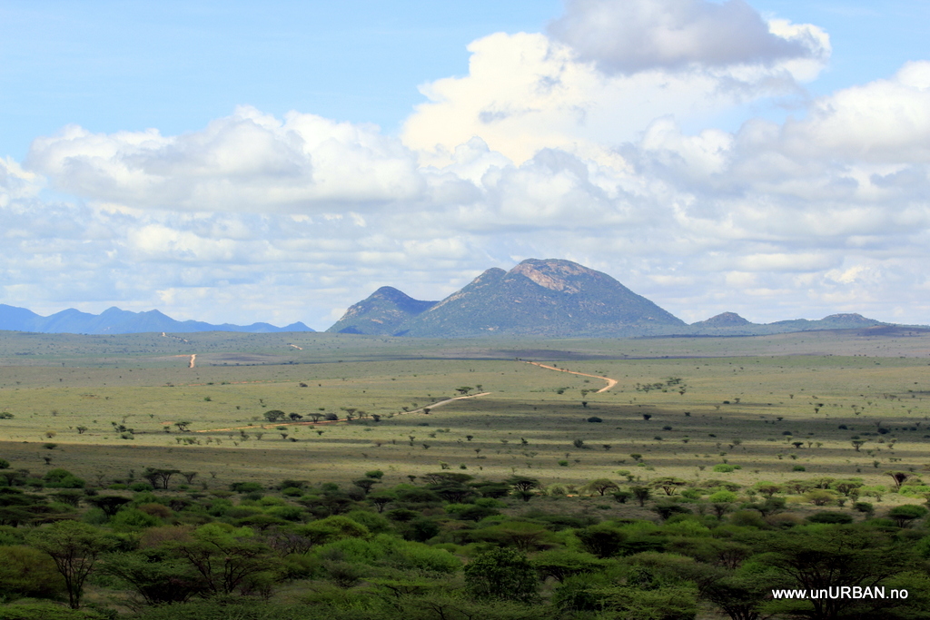
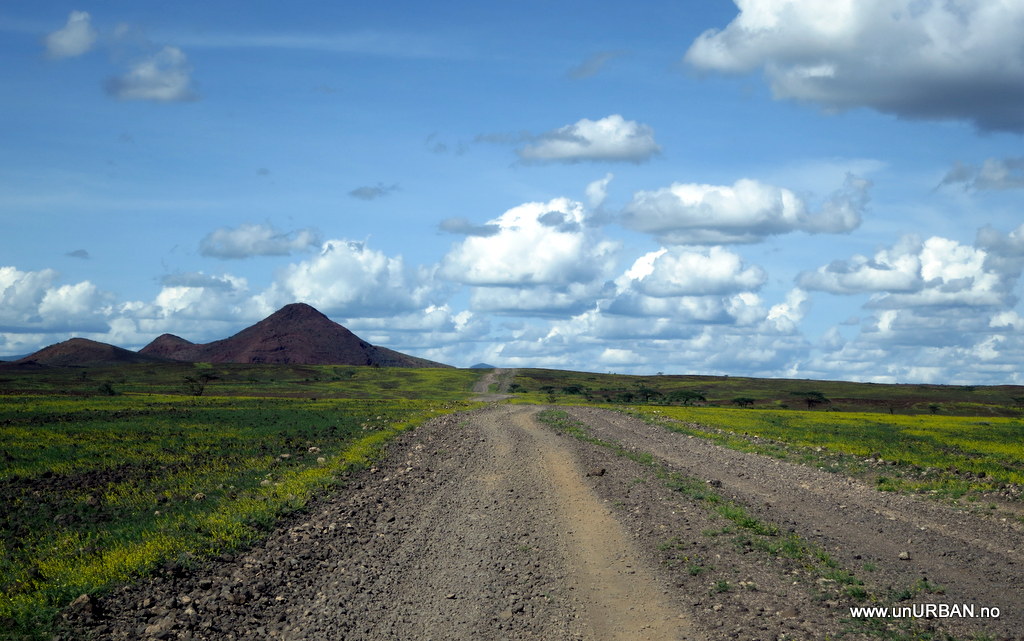
We had seen on our maps that there was a road going east from Lake Baringo towards Maralal. Maralal is the “last” town where you can find a normal fuel station, and there are also some local tiny “supermarkets”. We had talked with several people coming through Roberts Camp the days we were there (mostly people living in the area), and the reports we got about road conditions were mostly good. Not all, though.. Access to internet gives us weather forecasts on www.yr.no (they have English page as well), and even if a forecast isn’t too good locally, they can give us an indication about the overall situation for a larger area. With dry weather, the roads would be passable. It was supposed to be good for a while, and further north the roads should be better with a surface of sand and rocks, not the black soil that turns into sticky, slippery mud. We really want to see the Turkana area, so we went for it!

More soon!
Espen
 

FKreider

Observer
Very cool adventure that you guys have been on! Simply amazing!

Do you have any pictures of what the inside of the rear passenger area in the Patrol looks like? I see from some of your maintenence pictures that you have some sort of custom wooden structure built?
 

hilgeg

Member
Hey Espen and Malin,

First off – thank you two so much for sharing your epic adventure with all of us. The last 84 pages of pictures and posts have been riveting! It is so well written and informative that I've shared the link with numerous friends and we all now check this blog daily.

I have an equipment question for you. What do you carry in the way of tools, spare parts, and fluids? With space being so limited and mechanical troubles vary so much how have you used your valuable space in the Patrol for truck repairs/maintenance?

Thanks!

Geoff
 

unURBAN

Adventurer
Thanks for comments, Everybody!!

Do you have any pictures of what the inside of the rear passenger area in the Patrol looks like? I see from some of your maintenence pictures that you have some sort of custom wooden structure built?

Yes, I do. We have a "build thread" on a Norwegian forum, unfortunately in Norwegian. Here is a link through Google translate that should be readable. At least there are a few Pictures.
http://translate.google.com/transla....no/forum/viewtopic.php?f=25&t=1256&start=210

Espen
 

unURBAN

Adventurer
Lake Turkana

We have always read about how remote and difficult this route is. As usual, I think I will say, we find that this is quite exaggerated. Turkana is of course not a good place to have a break down, but there are other vehicles using the road. At least a couple of times per day. As long as you have water and food for a few days it should not be a problem. Even better would be to have the necessary equipment to help yourself or a satellite phone to call for assistance. Ruta de Lagunas in Bolivia is at least as remote as Turkana, and possibly also as beautiful. Maybe. For one thing is certain, this drive is probably the best we’ve had in all of Africa. That it is rainy season just add to the experience as what is mostly desert in the rest of the year, is now full of flowers and colors. The terrain changes over every hill, and visual impressions from these landscapes keep out doing each other. Lake Turkana is truly a jewel for all Africa overland travelers!

8715776711_b43cf0fa91_b_d.jpg


The roads haven’t been as bad as expected. Not even close. A factor in our favor (in addition to our trusty Patrol) was that it hadn’t rained in a couple of days. From Baringo to Maralal the road was mostly dry, and there were only a couple of sections with smaller mud holes from the last rain. We could, however, see clearly the tracks from big trucks that had been stuck in the mud a few days earlier.

8716872454_df5efdd424_b_d.jpg


We spent the night in Maralal at the Yare Camel (!) Club, and topped up with fuel the next morning before heading off north towards Turkana. The road going north from Maralal is built in a more hilly terrain, and this eliminates most of the mud problem. The surface was mostly dry and firm all the way to Turkana. The landscape is stunningly beautiful, and the pictures aren’t really showing the grandeur of this area. Starting on a plateau about 2000 meters above sea level, the road takes you over the edge and down to about 400 meters as you get closer to Lake Turkana.

8716873730_813bc9cb3e_b_d.jpg


A few hours north of Maralal we drive through the village Baragoi, and a few hours after that the feeling of the remoteness of this area starts to sink in. Some kilometers before Baragoi we drove past a group of six – seven young men with Kalashnikov machine guns, but they didn’t seem to be interested in us at all. At a police check point in the village we asked if it was normal to see groups with weapons, and were told that it was. “Not a problem”. Ooo-kay….

Along the road that so many has described as dusty and desert like, it was now green and full of flowers. The rainy season has its advantages.

8716874646_bcabb2f3be_b_d.jpg


8716877726_05e9bc8790_b_d.jpg


Late in the second day of driving north we got the first glimpse of the lake, and the landscape slowly gets drier. A few kilometers up on the east side of the lake is the village of Loiyangalani, our planned destination for the day. In the middle of town is an oasis where you can camp!

8716897482_dfb0aba10e_b_d.jpg


Some has perhaps noticed that we don’t post too many pictures of people in our blog. In many places people don’t mind being taken pictures of, and even encourage it. In other places it is frowned upon. Where this is the case, we do of course try to respect that. Some places in Africa, especially where there has been lots of tourists, we have found that it is accepted that we take pictures as long as we pay for it. This has unfortunately a sad consequence that we don’t like much. The result of this is that as soon as the locals see a tourist with a camera, we’ll be chased down the street by people that want us to take their picture for money. And in many of these cultures they do not take “no” for an answer. This situation can be quite unpleasant, and sometimes we find it better to just leave the camera in the car. This was also the case in Loiyangalani, possibly one of the most colorful and diverse areas in the whole of East Africa when it comes to tribes, people, language and culture. Many people we talked with in the village spoke four or five languages. It is really sad that we can’t take and show pictures of these fantastic people, but sometimes we feel it is better not to.

8715757861_e2c4190753_b_d.jpg


We asked and asked about the road going even further north, but the information seemed unreliable, and in any case not really valid for more than a short drive from Loiyangalani. We found a vehicle that had come from North Horr, about a third of the way out to Marsabit on the “main” road to Ethiopia. Behind that we didn’t have any info. Most of the people we talked to in Loiyangalani recommended us to take a more southerly route to Marsabit. After North Horr starts Chalbi Desert, and this area floods in the rainy season and becomes a swamp. Not a good place to get stuck in other words. The only way to get accurate info seemed to be to drive up there and look for ourselves. The road there is more desert like and a lot drier than by Lake Turkana, but again we see that deserts are incredibly beautiful after rain.

8715779167_2ee7d08be7_b_d.jpg


In North Horr we are told that the road through Chalbi really is flooded. Duh…. “But you could drive the wet season road going north of the desert”. Really? This isn’t in any of our maps, neither digital nor in the paper maps, but it sounded like an excellent plan. A guy in a Landcruiser pick-up tells us that he came in on this road two days earlier, and that the road was okay. The only difficult part was a river crossing, and he didn’t know how much water there would be now. Well, we’ll find that out soon enough. We get the necessary road descriptions and we drive out on another beautiful leg.

8715780245_0e6ed0a393_b_d.jpg


A bit before we get to the river crossing we find a Land Rover Defender elegantly parked in the middle of the road with a broken transmission. After making sure everything is okay and that help is on its way, we ask about the river crossing. The day before when he came across, it was only about half a meter of water. When we arrived there a few kilometers later the river had gone down even more, and we crossed in maybe a foot of water. Almost a little disappointing after having worried about this for several hours.

8715779517_2618e20604_b_d.jpg


Our plan was to spend the night at another oasis where we had heard that it was okay to camp. Unfortunately, the place had closed down and the alternatives weren’t really that many. Bush camping here would probably be okay, but as we still had a few hours of day light we decided to press on and make it to Marsabit before dark.

8716901664_abd9e1dd63_b_d.jpg


The road was more or less okay, the wet areas were behind us, and after four hours of violent shaking we pulled in to Henry’s Camp in Marsabit just after sunset. Crew and gear survived, and everything went well. Now, the only thing separating us from the good roads in Ethiopia, is the infamous Marsabit - Moyale Road.

More soon!
Espen
 
Last edited:

Forum statistics

Threads
187,609
Messages
2,895,836
Members
228,596
Latest member
donaldsonmp3
Top