South
South
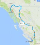
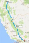
Eve left early to help with her mother's surgery, which was postponed when she arrived in Seattle. A POD friend, Tim, joined me for the return trip. We took the long way back to Port Townsend, traveling almost 3,000 miles — and a thousand more than our trip north.
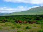
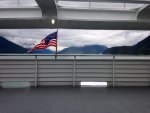
The only ferry I could get out of town dropped us at Haines, which added a couple of hundred miles to our first day's run. The pass out of Haines and into the interior was free of snow and showing its summer coat. Yukon horses grazed the open country near the pass.
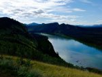
Part of the route was along the Robert Campbell Highway, which connects Carmacks on the Klondike with Watson Lake on the ALCAN.
Our first camp was on the Klondike highway south of Carmacks. We then moved onto the Campbell Hwy and spent the next two days learning more about this remarkable road, which is paved to Faro, hard packed gravel to Ross River, then deteriorates to dirt before the last 50 miles into Watson Lake. Even the mud was fun to drive.
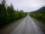
Faro is a faded mining town now officially a Canadian equivalent of a Super Fund site. The pretty lawns and painted houses lending a creepy atmosphere to what will soon be just another Yukon ghost town.
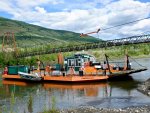
Ross River is a native community at the confluence of the Ross and Pelly Rivers. A ferry moves trucks across the Pelly and along the CANOL Rd, which was built as a pipeline haul road in the last months of WWII. The road still exists and would be a fun ride north to the border of the Northwest Territory, and there seems to be a “trail” that extends farther in.

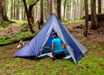
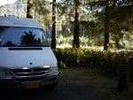
We camped at the confluence of the Pelly and Hooley Rivers. I had noticed that almost every bridge gave access to a dispersed camping site, and this one was superb.
The Canadians call it the Alaska Highway, we call it the ALCAN. It's a lot better than it was 20 years ago, and at Watson Lake, BC the Class As were lined up at the Visitor Center to take pictures of the road signs from their home towns. They seemed to be in a convoy with lead drivers. How difficult is it to find Alaska that you need a guide?
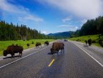
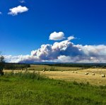
Eve and I drove this part of the highway on our way to Yellowknife in 2015. Aside from the smoke coming from the central BC fires, not much had changed. The Bison were still in the road and the Northern Rocky Mountains still spectacular.
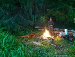
The fires had caused the BC govt to ban any fire in the Province, and this caused us to detour to the Northwest Territory community of Ft. Liard, where we camped at the community's Hay Lake park and had a great fire.

The next day we drove along the Peace River Valley, stopping at the picturesque town of Hudson's Hope, where we spent time looking at the local museum and the abundance of flowers.
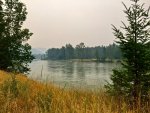
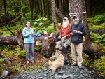
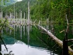
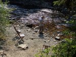
From there it was into Central BC and the land of smoke, which became the norm for the next five days. We managed to find decent camp sites along the way. We also made a point to stop and hike each day. A good trail led us from the road to a cool river with three wooden chairs set up along its banks.
Our border crossing was marred by Tim's name and birthdate being very similar to someone who was wanted in the US. That took an extra hour as we waited for the border guards to figure out that a man who had lived in Alaska for 45 years probably wasn't the same guy who did something very wrong in Washington 10 years ago. They also took our sweet peppers and apples.
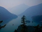
The Northern Cascades were thick with smoke. We found what may have been the last open campsite in northern Washington and settled in for an evening with a fire and cooler temperatures.
