Umnak
Adventurer
Solo in North Central New MExico
Solo in north central New Mexico
Eve went north to check on her mother and I went on a four night road trip. After spending a late afternoon an evening back along the Animas River, I followed Rt 64 into Apache Country then up the mountains to Chama.

Chama is a “T” Shirt tourist town focused on the Cumbers and Toltec Scenic Railroad. I stopped at the Tourism Information Center, but it was closed. A woman leaving the building said the governor closed it last fall, leaving aside how she had access to the keys and why the town wasn’t supporting it. She drove off in a car with Texas plates.
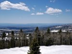
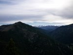
The climb up the Tusas mountains ended in deep snow with much of it on the western and northern sides. The ride down exposed more trees and grass heading toward Tierra Amarilla, which is a dying town still showing a coffee shop on my phone apps. All that seems to be left is a faded sign and a notice on the door.
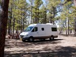
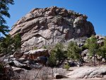
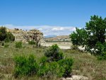
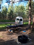
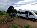
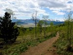
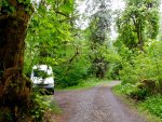
I stayed in a dispersed campsite in the Carson Forest, which was close to a monumental rock outcrop. The outcrop offered panoramic views and places to retreat from the 30 knot wind that had picked up in the afternoon and was to continue for the next two days.

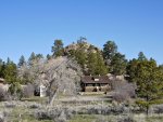
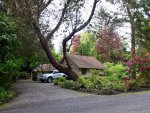
Aldo Leopold spent time early in his career in and around the Carson Forest. His house is now a Forest Service cabin rental.
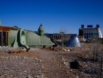
Earth Shelter is a community of cob and bermed homes embellished with fantastic architectural details, south facing glass and solar panels. It looks like something out of a Star Wars set.
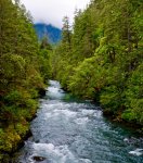
The Rio Grande Gorge passes through this part of New Mexico and continues southwest along the San Louis Valley. It is deep and channels a fast moving river fresh with spring runoff.
I stopped briefly in Taos and feel that it would be a nice place to live for a while. We plan on spending a long weekend there in May, so this was an exploratory trip. The Plaza dates to Spanish occupation.
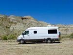
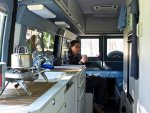
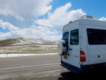
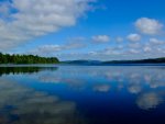
Abiquiu Lake is the Chama River dammed. A Bureau of Reclamation campground offers great views and hot showers. I walked around the hills until the wind forced me back inside the Sprinter.
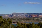
The road to Cuba from Abiquiu passes through much of the regional landforms. It’s a good ride.
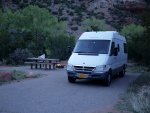
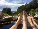
I wanted to soak in Jemez Spring’s bathhouse one more time before leaving this part of the country. The BLM campground along Rt 4 was open — most don’t before mid May — and I spent my last evening listening to the river.
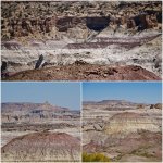
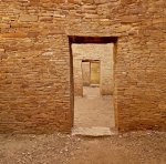
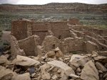
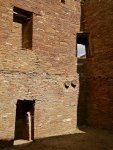
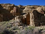
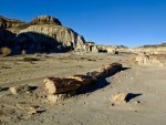
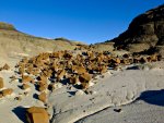
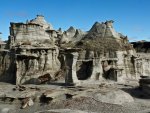
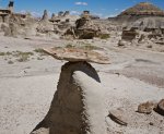
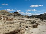
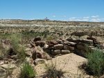
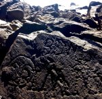
Kutz Canyon's Pre-Puebloan Shrine that marked the end of the Great North Road out of Chaco.
Solo in north central New Mexico
Eve went north to check on her mother and I went on a four night road trip. After spending a late afternoon an evening back along the Animas River, I followed Rt 64 into Apache Country then up the mountains to Chama.

Chama is a “T” Shirt tourist town focused on the Cumbers and Toltec Scenic Railroad. I stopped at the Tourism Information Center, but it was closed. A woman leaving the building said the governor closed it last fall, leaving aside how she had access to the keys and why the town wasn’t supporting it. She drove off in a car with Texas plates.

The climb up the Tusas mountains ended in deep snow with much of it on the western and northern sides. The ride down exposed more trees and grass heading toward Tierra Amarilla, which is a dying town still showing a coffee shop on my phone apps. All that seems to be left is a faded sign and a notice on the door.


I stayed in a dispersed campsite in the Carson Forest, which was close to a monumental rock outcrop. The outcrop offered panoramic views and places to retreat from the 30 knot wind that had picked up in the afternoon and was to continue for the next two days.


Aldo Leopold spent time early in his career in and around the Carson Forest. His house is now a Forest Service cabin rental.

Earth Shelter is a community of cob and bermed homes embellished with fantastic architectural details, south facing glass and solar panels. It looks like something out of a Star Wars set.
The Rio Grande Gorge passes through this part of New Mexico and continues southwest along the San Louis Valley. It is deep and channels a fast moving river fresh with spring runoff.
I stopped briefly in Taos and feel that it would be a nice place to live for a while. We plan on spending a long weekend there in May, so this was an exploratory trip. The Plaza dates to Spanish occupation.
Abiquiu Lake is the Chama River dammed. A Bureau of Reclamation campground offers great views and hot showers. I walked around the hills until the wind forced me back inside the Sprinter.

The road to Cuba from Abiquiu passes through much of the regional landforms. It’s a good ride.

I wanted to soak in Jemez Spring’s bathhouse one more time before leaving this part of the country. The BLM campground along Rt 4 was open — most don’t before mid May — and I spent my last evening listening to the river.

Kutz Canyon's Pre-Puebloan Shrine that marked the end of the Great North Road out of Chaco.

