A Rig Named Scout and its Adventures

TwoTrack

Buy Once, Cry Once
If you get into red river, the goose lake trail was fun, not challenging, highly maintained, even though it was maintained with rather large rocks. (or it was in 20009) but, the lake at the end is very pretty, and we really enjoyed camping there. my wife and I were dating at the time, and working at Philmont Scout Ranch, that was one of our favorite places to go during our off days. We went up to the lake 2 or 3 times.

If you are in the area 4th of July, Eagle Nest has a fireworks show.

I recommend Goose Lake as well. The weather will depend on trail condition, especially towards the peak there could still be a lot of snow/melt. Once you get to Goose Lake you can fish and hike to the summit which is amazing.
 

Scott H Murray

Adventure Photog
Great thread and great photos, I have both the Nikon D600 and D800E and would recommend any similar. I love your use of the nifty fifty.
 

joelwho

Adventurer
Your rig looks awesome! Jealous of your trip to CO this year. Last June we drove to Red River, NM. Take time to do some fly fishing!

Thank you! and we are very excited about Colorado.

i'd love to explore NM. from what I've seen, it looks like beautiful country
 

joelwho

Adventurer
If you get into red river, the goose lake trail was fun, not challenging, highly maintained, even though it was maintained with rather large rocks. (or it was in 20009) but, the lake at the end is very pretty, and we really enjoyed camping there. my wife and I were dating at the time, and working at Philmont Scout Ranch, that was one of our favorite places to go during our off days. We went up to the lake 2 or 3 times.

If you are in the area 4th of July, Eagle Nest has a fireworks show.

thanks for the heads up!
 

jonny.jpg

Adventurer
Hey Joel! Glad to see you on here. I had no idea you had a keen eye for photography. Great stuff!

Additionally, what I love about your build is STRAIGHT adventure. Not about rock crawling, and coming home to brag about busted ball joints. It's a great build, and looking forward to more.
 

joelwho

Adventurer
Hey Joel! Glad to see you on here. I had no idea you had a keen eye for photography. Great stuff!

Additionally, what I love about your build is STRAIGHT adventure. Not about rock crawling, and coming home to brag about busted ball joints. It's a great build, and looking forward to more.

Thanks, Jonny. I didn't realize you were here either. We run in good circles :)

I'm glad 'adventure' shows through. I enjoy wheeling, but honestly it's a means to an end. I like seeing what's over the next hill, and getting to remote areas, more than climbing rocks just for the sake of doing it. But heck, it's all fun

Thanks for chiming in!


Sent from my iPhone using Tapatalk
 
Last edited:

EZE

Observer


1. Love the build. We've got a Mt. Rainier on our X-terra as well and definitely take some inspiration from your rig.

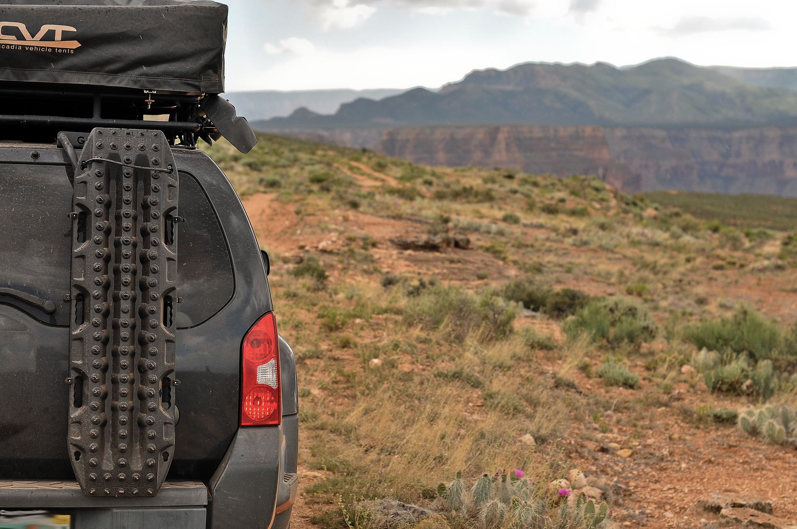
2. I'm probably going to get a gobi ladder and was planning on carrying my maxxtrax like you have pictured here. I was just curious how the stock gas struts held up on the tailgate with this setup?
 

joelwho

Adventurer
1. Love the build. We've got a Mt. Rainier on our X-terra as well and definitely take some inspiration from your rig.

2. I'm probably going to get a gobi ladder and was planning on carrying my maxxtrax like you have pictured here. I was just curious how the stock gas struts held up on the tailgate with this setup?

Thank you!

The Rainier is awesome!

Replacing the struts was one of my first MODs (way before the maxtrax), so I can't give you an honest answer. I can tell you my buddy has a Gobi and a Raingler mess zipper pocket thing mounted to the inside of the hatch with a couple of items in it and the stock struts had trouble lifting the hatch. I would recommend replacing the struts prior to adding any weight.


Sent from my iPhone using Tapatalk
 

cntryboy_88

New member
it's the Backcountry Navigator app (I run it on my Nexus 6). I upgraded to the Pro edition. it's very in-depth and takes awhile to become proficient (which i'm still working towards), but I really like it. it allows you to download dozens of map templates (US Forest Service, CalTopo US, USTopo, USGSTopo...), then you can plot tracks and save waypoints, and then switch between the different map types. I highly recommend it.
What map are you using...I downloaded the app and I've got no idea what I'm looking at lol...what's the red line showing where you're going how'd you get that...you have an awesome rig to btw!

Sent from my SM-N920V using Tapatalk
 

joelwho

Adventurer
What map are you using...I downloaded the app and I've got no idea what I'm looking at lol...what's the red line showing where you're going how'd you get that...you have an awesome rig to btw!

Sent from my SM-N920V using Tapatalk

It's going to take a while to get the hang of it (and if you don't use it often, you'll forget)

The red line is a track I drew. I made it so I can concentrate less on the map and more on the road and scenery.

How to begin:
Click the teardrop icon with the plus next to it on the left side of the screen. Tap Measure and Draw. Zoom into the area you want to draw a track. Now touch the screen. It places a dot. Now touch the screen again in another spot. It places another dot and adds a red line between them. If you make a mistake, click Undo Last Point. Repeat until happy. It's very time consuming, and can be frustrating.

I started at the end of the trail and worked my way backward. I used a few sources as guides... A paper map, a couple of blogs online from travelers who have been there, and Google Maps.

I hope that helps. Let me know if you have anymore questions. I know how difficult I can be to learn


Sent from my iPhone using Tapatalk
 

cntryboy_88

New member
What map do you use though...I have looked through a couple and don't really like the look...is it worth paying the 12 bucks and getting the premium

Sent from my SM-N920V using Tapatalk
 

Forum statistics

Threads
186,669
Messages
2,888,662
Members
226,767
Latest member
Alexk
Top