Arkansas Fall Foliage Frolicking

TheBlackSheep

Observer
Hey, check out my new Jeep!

Jeep Wrangler "ExPo 2010" Edition. Trail Rated!

Trail%20Rated.JPG
 

RSB

Adventurer
Oklahoma City, VOR. We use that one a lot going and coming.

ahhh, ok. Sadly, I haven't been back in the air regularly in a few years. Most of my time was in Arizona while I attended Embry-Riddle Aeronautical University, until I ran out of funds. :( I can't wait to get out again...
 

Mr. Leary

Glamping Excursionaire
I wasn't going to say anything... but it appears that you were only serious ExPo'er on the trip. Nobody else brought their ExPo approved Wiffle Ball Bat!
 

shawner2713

Observer
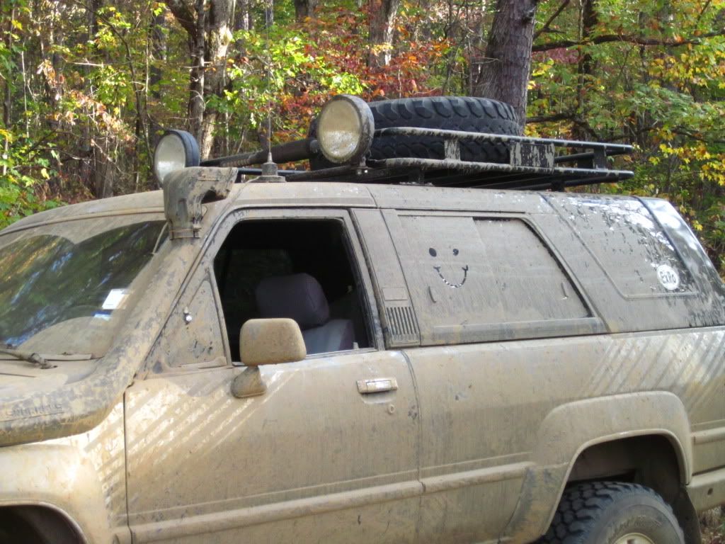
No kidding, when I used to drive a Wrangler, I once got an "Obstruction of View" ticket after a day in the mudholes. I has zero visibility other than rolled down windows and what I'd cleared on the front glass using an ice scraper.


Trail graffiti? Ask one of the guys from Sunday afternoon what kind of graffiti they took home. (Hint: it's the permanent kind, and why we like white trucks.:victory:)

Oh yea...loved that permanent grafiti. i guess i better start paying attention to what i'm doing. in addition to that tree i loved up with i sideswiped one of those construction pylons on the way home...(i guess my steering was pulling that way?)

Had a good time guys- i'll try to get my limited number of pictures up, and my couple of vids sent to you scott.
 

MisterE

New member
For those of you having difficulty getting Scott files at full quality pm me. I can get them on my server at full resolution and he can download from there.
 

RSB

Adventurer
with exception to a few spots where I forgot to turn the tracking back on :eek:, looks like we covered around 289 miles from the tower to where the group split off, here. The rest of the group covered an additional 35.25 miles. I couldn't create a map in GM w/everything on one page, but here's the *.kml for use in Google Earth. Be advised all numbered POIs are trailheads marked en route.

below is a snapshot showing where we came to a road block after crossing the iron bridge. Red is actual, yellow was planned. Due to time constraints, we bypassed the eastern portion of Friday's route and headed straight for Spring Lake. Later, I found a road a bit further east that would have gotten us back on course, indicated in white. However, getting back on track would have added an extra 32 miles to Spring Lake. We likely wouldn't have made it before sunset!

web.jpg


the next morning I got confused and started taking us in the wrong direction, away from our meeting spot in Russellville. Instead of continuing on 27, I started following the route we DIDN'T cover on Friday :rolleyes:. Once I realized we were off-course, I couldn't find the POI/coordinates to the meeting spot in Russelville, either. I had every POI on the route except the one we needed! :ar15: The rest of the group had already split off, and no one else within CB radio contact seemed to know where it was either. Frustrated, I made contact w/Wes via the 2m and got the details. Scott pulled ahead, and guided us to the meeting spot. He was the only one who seemed to know where he was going!

in the picture, camp was to the left of the waypoint 'wrong turn'. The yellow line was Friday's route, which is partially covered along highway 28 by the actual track (blue arrows/black line), for those who followed me. This put us an extra 16 miles behind. My apologies for looking like a complete @$$ on this segment of the trip :costumed-smiley-007.

web.jpg


anyway, lessons to be learned. After the group split-up, the rest of us ran into a dead-end on a real tight trail on the way to Big Piney. If we had more daylight, we could have back-tracked and possibly got to the other side of the trail via one of the alternate routes, shown here...

web.jpg


looks to me we've only seen a sliver of what Arkansas has to offer! Look forward to the next one. :)
 
Oh, no! Ryan, I hate that for you, bro. Honest mistake, I know. Just goes to show that no matter how much technology we have in our toolkit to help things be easy, human intervention can certainly make things challenging all over again! ;)

I am unfamiliar with Overland Nav. Is there a way to customize the colors of each line on your netbook screen? That might help you discern the proper route in the future.
 

RSB

Adventurer
Oh, no! Ryan, I hate that for you, bro. Honest mistake, I know. Just goes to show that no matter how much technology we have in our toolkit to help things be easy, human intervention can certainly make things challenging all over again! ;)

I am unfamiliar with Overland Nav. Is there a way to customize the colors of each line on your netbook screen? That might help you discern the proper route in the future.

no doubt bro! As the Air Force boys used to say, "Flexibility is the key to airpower." :bigbossHL:

sadly, it doesn't. Current tracks are red and everything else in the track folder is blue. I agree though. Perhaps this is something they're planning to change in their next update. It's a bit confusing. I'm going to ask Craig about it...
 
Last edited:

Forum statistics

Threads
188,340
Messages
2,905,762
Members
229,959
Latest member
bdpkauai
Top