You are using an out of date browser. It may not display this or other websites correctly.
You should upgrade or use an alternative browser.
You should upgrade or use an alternative browser.
Buffalo National River
- Thread starter TripLeader
- Start date
TripLeader
Explorer
Part 8 [Conclusion]
We made one last stop to hike to Whitaker Point.

We found a shower at an RV park. We then started the drive home. That was the trip.
The overall float itinerary had been:
Five days, 101 miles.
Thanks for reading.
We made one last stop to hike to Whitaker Point.

We found a shower at an RV park. We then started the drive home. That was the trip.
The overall float itinerary had been:
- Day 1: Ponca (RM 28) to RM 42 ...15 miles.
- Day 2: RM 42 to Gray Bluff (RM 58) ...15 miles.
- Day 3: Gray Bluff (RM58) to Woolum (RM 79) ...21 miles.
- Day 4: Woolum (RM 79) to Spring Creek (RM 116) ...37 miles.
- Day 5: Spring Creek (RM 116) to Rush (RM 129) ...13 miles.
Five days, 101 miles.
Thanks for reading.
shade
Well-known member
Thanks for another solid trip report.
You mentioned the river level changing rapidly, which made me think of a recent addition to Gaia's available map layers. If you have a cell connection, the USGS Streamflows layer gives real time data, which could be helpful in some situations. My guess is that the layer will auto-update that data if the map has been downloaded for offline use, and a cell connection becomes available.

That data is derived from USGS monitoring. Their water data web interface site is being overhauled, so some changes are being slowly rolled out.
It's a great planning resource: https://waterdata.usgs.gov/nwis
You mentioned the river level changing rapidly, which made me think of a recent addition to Gaia's available map layers. If you have a cell connection, the USGS Streamflows layer gives real time data, which could be helpful in some situations. My guess is that the layer will auto-update that data if the map has been downloaded for offline use, and a cell connection becomes available.

That data is derived from USGS monitoring. Their water data web interface site is being overhauled, so some changes are being slowly rolled out.
It's a great planning resource: https://waterdata.usgs.gov/nwis
JohninDetroit
Member
glad this popped up. Looks like a great trip
Sierra Valley
Wander
Wow beautiful trip thanks for sharing. I would love to float that river. How was the fishing?
TripLeader
Explorer
Wow beautiful trip thanks for sharing. I would love to float that river. How was the fishing?
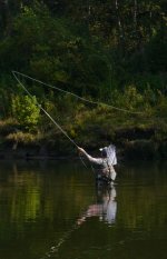
We only really tried at two of our campsites, Gray Bluff and Spring Creek. We did not do so hot. I blame it on the river being up so high. (Others might blame it on my poor fishing skills. They would probably be correct.) But the fishing can be good if you know what you're doing.
Anyway, we only caught four or five fish. Nothing worthwhile.


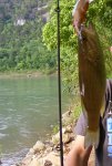
And we did run into a ranger who asked to see our fishing licenses.
TripLeader
Explorer
White River 2023
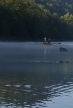
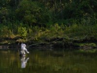
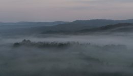
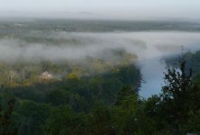
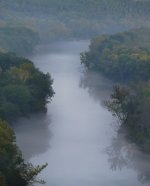
The wife and I have made a couple trips to the Eureka Springs area in the last couple of years. I thought I'd share a few photos from this Fall in the thread. Eureka Springs is near the White River. I figured since the Buffalo flows into the White, it's all related.
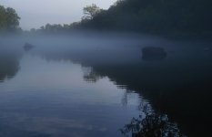
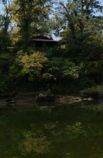
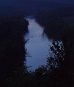
We stayed in a room overlooking a bend in the river.
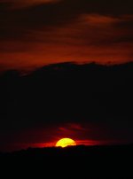
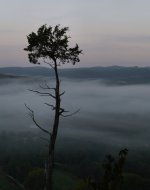
Twilight on the White.

TripLeader
Explorer
TripLeader
Explorer
TripLeader
Explorer
White River 2023
There was a street festival in downtown Fayetteville. We had stopped by unknowning, just to hit their famous used bookstore.

The Botanical Garden of the Ozarks, in Fayetteville, had a scarecrow competition underway.



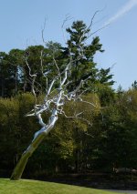
The Crystal Bridges Museum of Art in Bentonville was our other destination that day.

There was a street festival in downtown Fayetteville. We had stopped by unknowning, just to hit their famous used bookstore.

The Botanical Garden of the Ozarks, in Fayetteville, had a scarecrow competition underway.


The Crystal Bridges Museum of Art in Bentonville was our other destination that day.


TripLeader
Explorer
TripLeader
Explorer
TripLeader
Explorer
TripLeader
Explorer
Similar threads
- Replies
- 5
- Views
- 1K
- Replies
- 1
- Views
- 860
- Replies
- 12
- Views
- 3K
- Replies
- 81
- Views
- 16K
- Replies
- 23
- Views
- 4K


