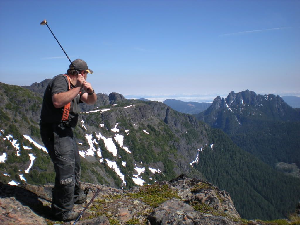
Creating a Cross Canada Overland Route

deadly99

Explorer
Some more pics from Vancouver Island

DSCN0669.jpg


The scenery on Vacouver Island never seizes to amaze me. From mountains to rainforests...:clap

DSC04225.jpg
 

deadly99

Explorer
News

We are working on another route.....True North East.


Starting at the Maine/New Brunswick border and ending at the furthest northern point that roads go. It will cross the TCAT in Quebec and travel through some pretty cool places (Gaspe, Rue Du Nord, James Bay, Trans Taiga, etc). Up until now this has been kept under wraps and is now about 3/4 quarters complete. The TNE will start where a "little" project some folks down south are working on ends off (US/Canada border) and will link the TCAT to the TAT and points south......


What about a True North West, starting where the CDR leaves off and ending at the end of the Dempster, crossing the TCAT along the way........


Fall of 2012, all three should be ready to distribute. A series of routes in North America that are all interconnected.
 

deadly99

Explorer
In response to us using the term "trail"

I think trail is a bit of a misdemeanor. The TCAT is a route comprised primarily of gravel roads. A trail here and there is included and so are paved roads when needed.

The TNE will be very similar in nature to the TCAT. +80% gravel roads (some wide, some narrow, some smooth, some bumpy) with the remainder being slab to connect these roads.

The TNW is just a concept at this time. We are aware that there are large chunks of it that will be paved. Just a guess but I would predict it's a 50/50 (gravel/paved) route. What we can do is ensure the route utilizes some fun gravel backroads where available, roads that folks heading that way might not normally ride or know about. There is also the added benefit of having the TNW utilize a section of the TCAT, creating some fun options of the western TAT, TCAT, TNW and the CDR.

As mentioned the TNW is conceptual at this point. The TNE will be completed this upcoming season, the TCAT will be completed in 2012 and we hope to also have the TNW completed at that time as well.
 

deadly99

Explorer
The terminus of the TNE

2378814_l.jpg


The Trans Taiga...670 kilometers of gravel (don't forget you have to turn around and re ride that mileage)

Quote from Wikipedia

The Trans-Taiga Road (French: Route Transtaïga) is an extremely remote wilderness road in northern Quebec, Canada. It is 582 kilometers (362 mi) long to Centrale Brisay and another 84 kilometers (52 mi) along the Caniapiscau Reservoir, all of it unpaved.

The road's northeastern terminus is almost at the 55th parallel north, making it the northernmost continuous road in Eastern North America. Though the terminus is also the farthest point from any town (745 km or 466 miles from Radisson) via road in North America, it is nonetheless relatively close - 190 kilometers (118 mi) - to Schefferville geographically. It does not, however, provide access to it, as the intervening terrain is unpassable even in an all-terrain vehicle. The road's end is also close to the southern limit of Nunavik, Quebec's Inuit region.

The Trans-Taiga Road branches off from the James Bay Road (French: Route de la Baie James) at kilometer 544. It was built as an access road to the hydro-electric generating stations of Hydro-Québec along the La Grande River and Caniapiscau River. Several outfitters are established along this road, providing wilderness hunting and fishing expeditions, and some may also provide fuel, food and lodging. Otherwise, there are no services along this road.

While the Trans-Taiga Road is reportedly drivable by ordinary passenger vehicles for its entire length, Hydro-Quebec recommends use of 4WD vehicles for the section between Brisay and Caniapiscau, which is of a rougher grade than the rest of the road.

As the name of the road indicates, this road winds its way through Quebec's vast boreal forest, characterized by stunted spruce and pine, bogs and rocky outcroppings. Taiga is the Russian term for the same type of forest.


2378737_l.jpg


James Bay Highway, a fun remote paved road connnecting the North Road and the TT.


2373582_l.jpg


A nice side trip to James Bay


2375354_l.jpg
 

deadly99

Explorer
The North Road (Rue Du Nord)

400 kilometers of gravel, great secenery and a all around fun road.


2371376_l.jpg


2371372_l.jpg


The section of the TNE that piggy backs the TCAT looks great. This is Fab's sections of the route and I'm looking forward to riding it with him in May.


2371304_l.jpg


The Chic Choc mountains on the Gaspe Bay Penninsula


2386565_l.JPG


Crossing the St Lawrence river by ferry


2386579_l.JPG


For those who havent ridden on the "Gaspe", it's a nirvana of narrow, gravel backroads. A huge netwrok of them :deal

The New Brunswick section of the TNE is just beggining, local input is being collected and that section may or maynot end up being "adopted"

I've been sent a few links by some locals and the riding looks outstanding for this type of route :clap


moosevalley09020.jpg


Moosevalley2010edit-020.jpg


Kedgwickrailbedrun008.jpg


For me, the New Brunswick section fo the TNE is very exciting as I haven't spent much time in this part of Canada. Over the next few months more information should become available as to who is helping and what area's will be included.

Cheers
 

deadly99

Explorer
Comments from a fellow from Sweden

Wow!

That's all I can say. At the same time I wish this would have been done in 2006 when I crossed Canada, mostly on tarmac...

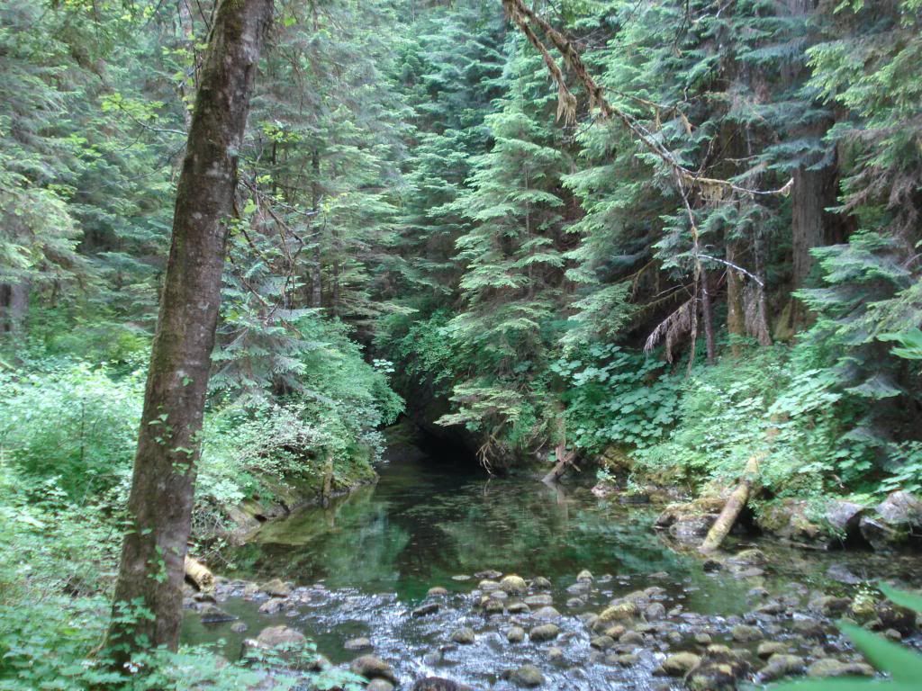
But I did find a few nice fireroads in north western Ontario. As far as I can recall now it was some 40-50 km of really nice roads until the freaking beaver build the dam... So for some adventure and really nice roads I can recommend it.

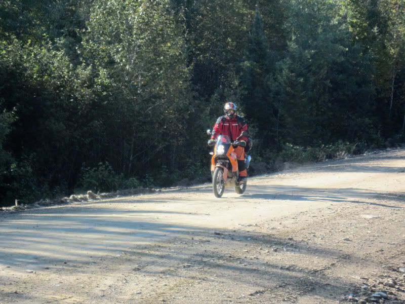
This is the, almost, worst case condition of the road.
main.php


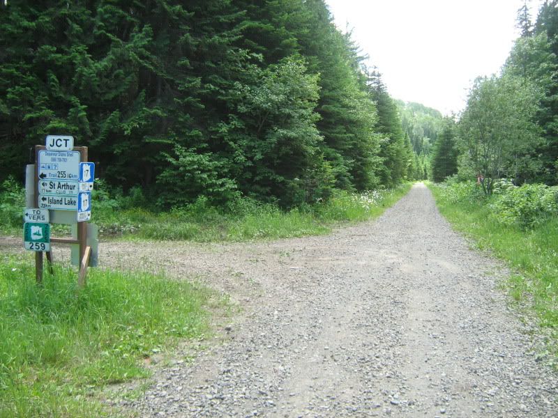
Well it did turned abit more messy but it was a road around it, if I only would have seen it in time...

main.php


But on the other side there is something about "watercrossings" and Ontario that goes hand in hand...
main.php


I really hope I will be able to get over to Canada again and ride the TCAT, I'm already planning it in my head but at the same time I can hear my girlfriend say "No again..." :)

Thanks for the reading, pictures and to keeping my dream alive.

Cheers from Sweden,
Zappa
 

Motojournalism

Observer
Heya folks,

Here's what Deadly and I have worked out for the logo and the printed guidebook

Disclaimer: It ain't finished yet!
deal.gif

This is just a rough draft of what the guidebook will be like. I've misappropriated some photos from the ADVrider thread for the rough design, permission will be gained and credit given for the final document.

There are still many tweaks to make on the design, I'll be working those out with Deadly99 as the content is closer to being finalized. I've designed the document so that it will be easy for some nutcase to plug-in the heaps and heaps of photos, text and maps that will be part of the final guide
Norton.gif


Each chapter/section will be colour-coded for easy reference, and I'll try to keep the text a reasonable size for legibility while sitting 'round the campfire intoxicated
friday.gif


TEMPLATE-ROUGH.jpg
 
Last edited:

computeruser

Explorer
Awesome project and write-up. I'd love to have a good source of route info for exploring Canada without having to recreate everything from scratch. Glad the project has branched out to include accommodations for 4wheel vehicles, too.
 

Jim K in PA

Adventurer
This is a stupendous effort, and much appreciated by this traveler. My wife and I will be traveling most if not all of this route over the next 10 years.

Hate to critique a rough draft, but I am pretty sure the proper spelling is Taiga, not Tiaga.

Keep the updates coming. :victory:
 

Motojournalism

Observer
Hate to critique a rough draft, but I am pretty sure the proper spelling is Taiga, not Tiaga.

Keep the updates coming. :victory:

No worries Jim, thanks for pointing it out! Somebody else picked up on that on the ADV thread too, Viagra jokes were made, hilarity ensued. :sombrero:
 

Paladin

Banned
Ted, how early do you think the non-technical sections can be travelled by truck? I know some of the more southerly technical sections (Lingham Lake) may be passable in April if you don't mind getting wet. But you WILL get wet. That's pretty much true almost year-round, but the water will be deeper until at least May, if not June.

But, I'm not sure about the routes of the non-technical sections. Are they mostly on graded, plowed, official roads? Therefore, passable and dry in March/April?
 

skysix

Adventurer
Heya folks,
Each chapter/section will be colour-coded for easy reference, and I'll try to keep the text a reasonable size for legibility while sitting 'round the campfire intoxicated
friday.gif


TEMPLATE-ROUGH.jpg

Still needs one more chapter - "The North" for Yukon, Northwest Territiries and Nunavut...
 

Forum statistics

Threads
188,531
Messages
2,906,299
Members
230,547
Latest member
FiscAnd
Top