Creating a Cross Canada Overland Route

deadly99

Explorer
Newfoundland, aka "The Rock"

Mike is creating the route on The Rock, so far from what we are seeing it looks VERY promising and a great way for the TCAT to start. For anyone who has not been to this island you are in for a treat :drool:


999518945_3FjGU-L.jpg


629828244_AKki2-L.jpg


1059838620_zGvpZ-L.jpg


309473729_63PVG-L.jpg


302392620_HqtkH-L.jpg


618801961_trZr2-L.jpg


374790378_rQoqm-L.jpg


637073343_uVQN5-L.jpg


289633594_dZdTy-L.jpg


927534146_hum9k-L.jpg


374788288_jx72S-L.jpg
[/QUOTE]
 

deadly99

Explorer
The end of the TCAT

David from Vancouver Island is creating the route across "Vanisle" :victory:

Much debate has been going on about where the route should end. There were a few different locations to choose from, all of them with some plus and minus to them. In the end we have choosen a small town on the nort west side of Vancouver Island called Winter Harbour. It is the most westerly town accesible by road in Canada. It is at the end of a long remote gravel road and it best summed up what the TCAT is all about, places in Canada that are off the beaten trail. Heck I bet most people who live on that island have never even been there. During the winter it has a population of six :Wow1: Summer time swells the population to under 100.

Here are some pics and comments from David.


Just going through this thread and see that Winter Harbour has come up as a Western Terminus suggestion as well as Tahsis...

For a Winter Harbour terminus several route options come into play, you could pretty much ride the top half {North of Cambell River} of Vancouver Island off pavement to get there... The best route {centre Island} would amount to around 350+ KM of logging track with less than 10 KM of pavement.... The east Island route would bump the pavement total to about 20KM.. The West Island would include the Gold River HWY amounting to 90+ of pavement and give you the Tahsis option as a very worthwhile side trip ....

A mostly off road option from the south Island up to Cambell River exists but is not reliable as a lot of the south Island back road networks are gated... If open the Alberni to Comox Lake to Cambell Lake would be a good link up with the North Island routes...

IMG_2746.jpg

A dip in the ocean at one of the beaches near Winter Harbour would be a good end/beginning to the journey... This picture was taken in December...
IMG_0120.jpg

Pakmerston, taken in January..[/QUOTE]
 

deadly99

Explorer
Today was our second attempt to ride up to have a look at the place as it's been a few years since I was last there...

Was glad to see the road bare of snow this time after the slipfest we had in our attempt a couple weeks back...
IMG_1836-1.jpg

We turned back after 20 km of this the last time...

Todays ride was interesting as the roadbed was frozen with an inch or 2 of wet muddy goo on top... Half the time it felt like you were riding on a flat tire... On the return trip my speedo quit reading because the goo built up on the sending unit near the front axle...

A few teasers from today:

IMG_1851.jpg


Nearing Port Hardy

IMG_1854-1.jpg


Looking down Holberg Inlet..

MVI_1859.jpg


Probably the worst hazard to watch out for are the Fat Trucks... Not much room for a bike to pass when you meet them, Vanisle is one of the last holdouts for these big beasts... We met this guy as a downhill surprise and all we could do was swap our intended direction in a hurry...


IMG_1875-1.jpg


Winter Harbour store... It's only open 1 hr a day in the Winter... Possibly because there are only 6 fulltime winter residents so shortening their hours is a way try to survive till summertime brings the people back...

IMG_1880-1.jpg


They do have they're own post office..

IMG_1877-1.jpg


The settlements original main road consists of a boardwalk that runs along the waterfront...

IMG_1867-1.jpg


And they grow big carrots..

IMG_1882-1.jpg


This would be my proposed end/start for the TCAT... The roads dead ends at a trailhead about 20 KM past Winter Harbour...

IMG_1886-1.jpg


Park the bike and take a short path to the beach...

IMG_1902-1.jpg


I guess you'd be looking at Japan if you could see that far

IMG_1898-1.jpg


Good spot to take a celebratory dip..

IMG_1899-1.jpg
[/QUOTE]
 

deadly99

Explorer
East Kootenay's BC

Here comes a barrage of photo's from the East Kootenay valley. I am cross posting these photo's and most belong to a fellow who goes by Jager on advrider. The east Kootenay Valley is a great place, I lived there for three years and I think alot of people will be impressed when they travel the route this area of BC :ylsmoke:

Enjoy the eye candy :smiley_drive:


trip0110.jpg


trip0015.jpg


trip0016.jpg
 
Last edited:

deadly99

Explorer
More pics from the East kootenay's

Check out the road in the background :drool:


5210.jpg


510.jpg


5410.jpg


imgp6813.jpg


img_3810.jpg


trip0020.jpg


The East Kootenay valley seperates the Rocky Mountains and the Purcell Mountains. In the next photo you see the Rockies. The route follows logging roads through the Rockies for a few hundred miles before entering the East Kootenay valley and crossing the Purcell Range into the West Kootenay Valley.


imgp3714.jpg


810.jpg


131-3110.jpg


bugice10.jpg


glacie10.jpg


flower10.jpg


A big thanks to Jager for all the tips on the roads in the area and for showing us some amazing photo's :victory:
 

deadly99

Explorer
I owned an old cj5 for about 7 years (labour of love) and when I lived in the East Kootenays I completly enjoyed the amazing views as well as the roads and trails that are planned for this section of the route. A couple of high mountain passes, miles of remote logging roads, a couple of fun hydro lines and a few other gems are what primarily make up this section of the TCAT. There may be a couple of optional technical sections that are sure to offer up some challenging terrain for those that are interested in challenging themselves and their ride :ylsmoke:
 

deadly99

Explorer
Exploring Quebec, my personnal favourite place to ride in Canada. Sooooooooo many backroads a life time wouldnt do it justice :deal


2386576_l.JPG


2386565_l.JPG


2386568_l.JPG


2386569_l.JPG


2386572_l.JPG


2386566_l.JPG


2386579_l.JPG
 

deadly99

Explorer
The route is intended to travel threw the Caroboo region in the province of British Columbia


IMG_1030-1.jpg

Lotsa room to camp...
IMG_0957-1.jpg


IMG_0951-1.jpg


IMG_0921-1.jpg

Most riding areas you get your scenic bits with miles of ho-hum in between... In the Cariboo you spend the whole day in euphoric splendor, there are not many dull bits to put you to sleep...
IMG_2025.jpg
 

deadly99

Explorer
With winter settled in and alot of work has been happening in the background for the TCAT.


Antronax has come up with a superb logo for the project and a great template for the guidebook. Finishing touches are being done and it looks fantastic

We have registered a new domain name for a web site to distribute the gps files/mpas/guidebook/etc from. www.graveltravel.ca
The website should be up and running in the fall, we're quite excited about this new direction the project has taken. Fab is going to be hosting/helping with the site

Quantis (Stephen) has joined the "team" and will be putting his skills to use and will be creating a promo movie for the web site and a documentary style DVD to be bundeled with the guidebook. Welcome aboard Stephen Film is a new medium for Stephen and he seems quite keen to expand his skillset, he currently works as a professional photographer and is quite skilled if I may say so. I apologize to folks in advance, like it wasn't enough that I always seem to have a camera in everyones face, now it'll be a video camera....

Juames has taken on the western Quebec portion of the route which for me is very exciting. His contribution in eastern Ontario has been fantastic (some very fun optional sections) and I'm sure he'll come up with something fun for us in the hills of western Quebec

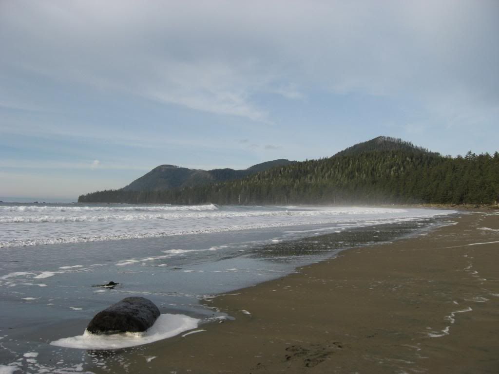
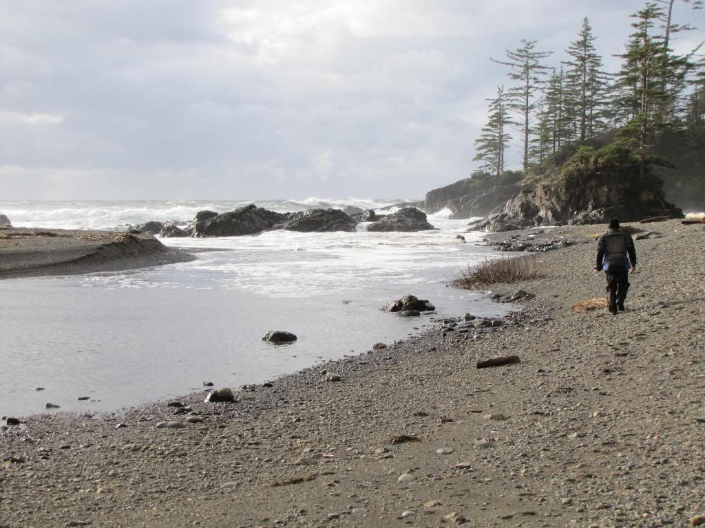
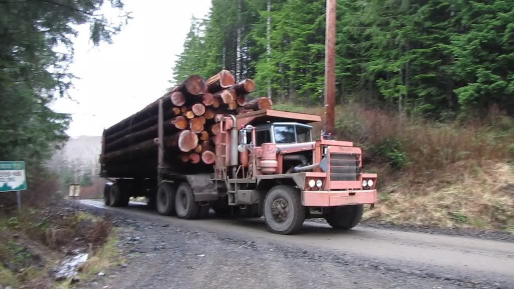
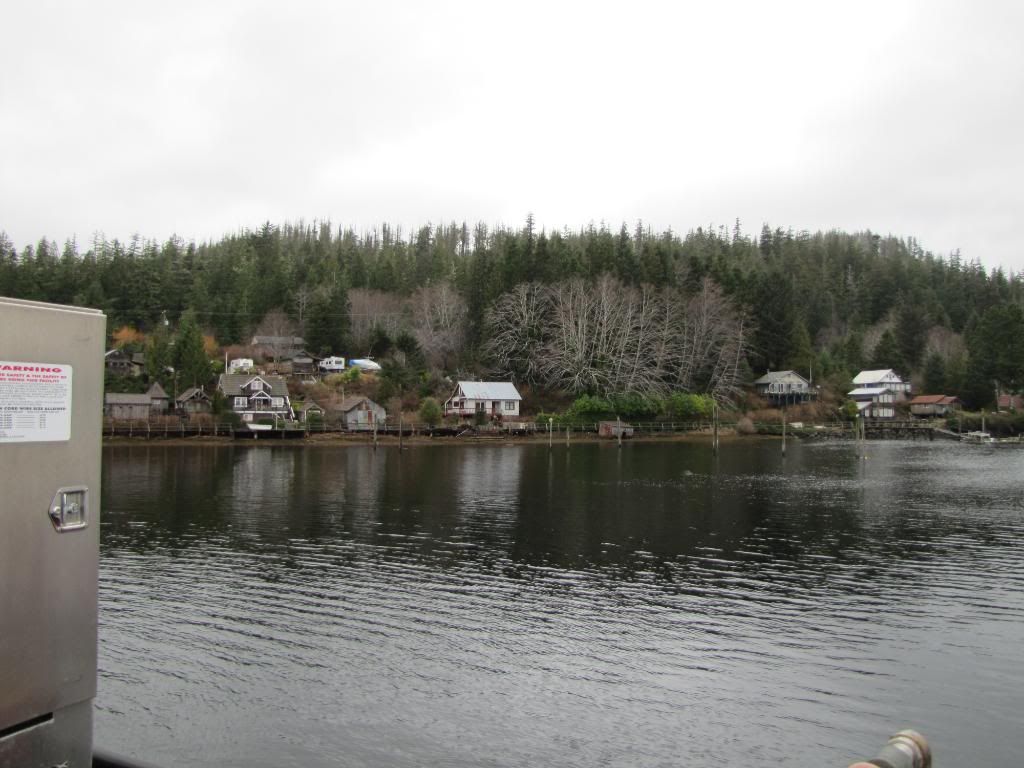
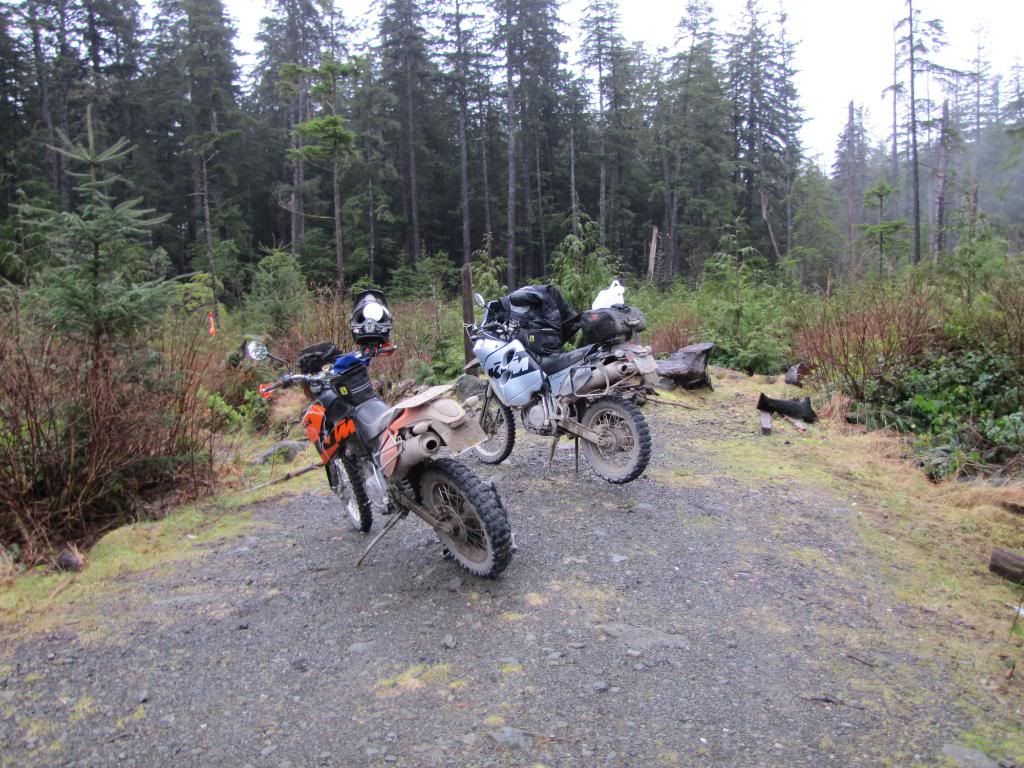
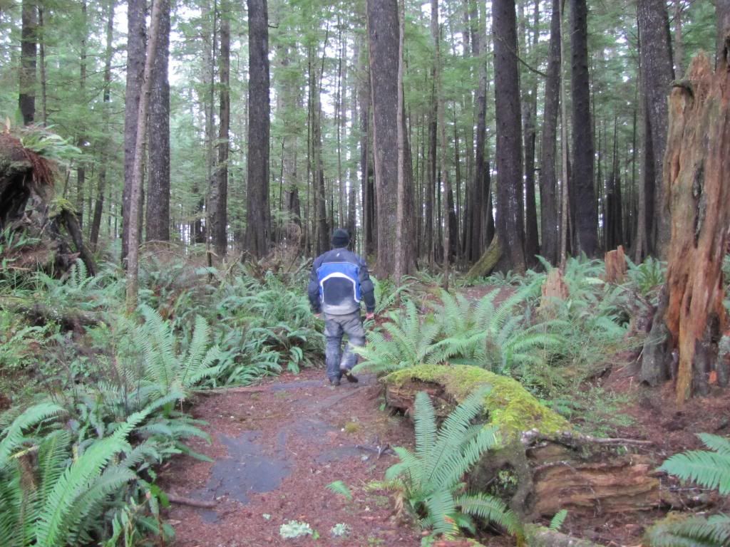
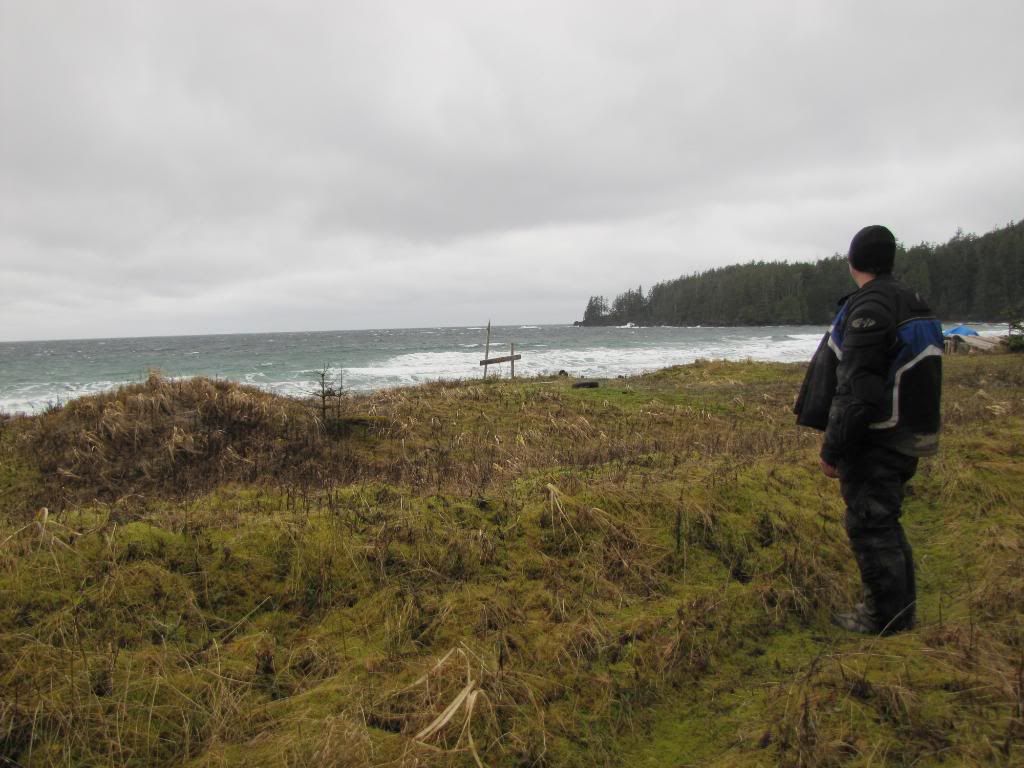
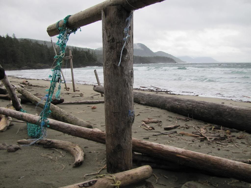
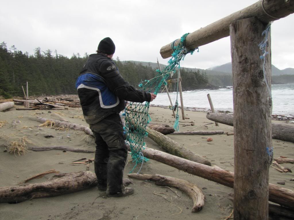
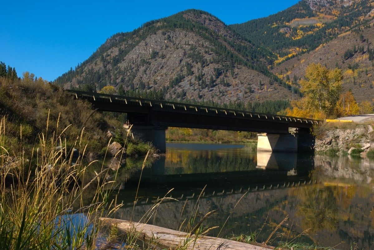
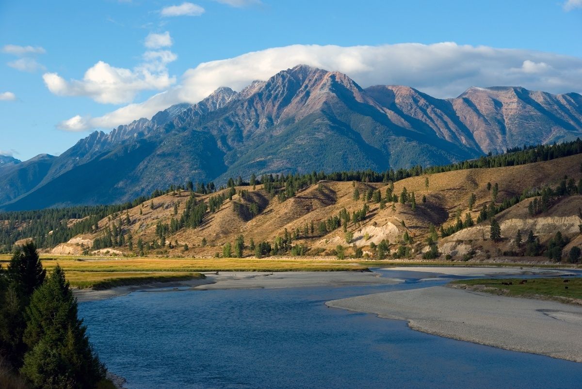
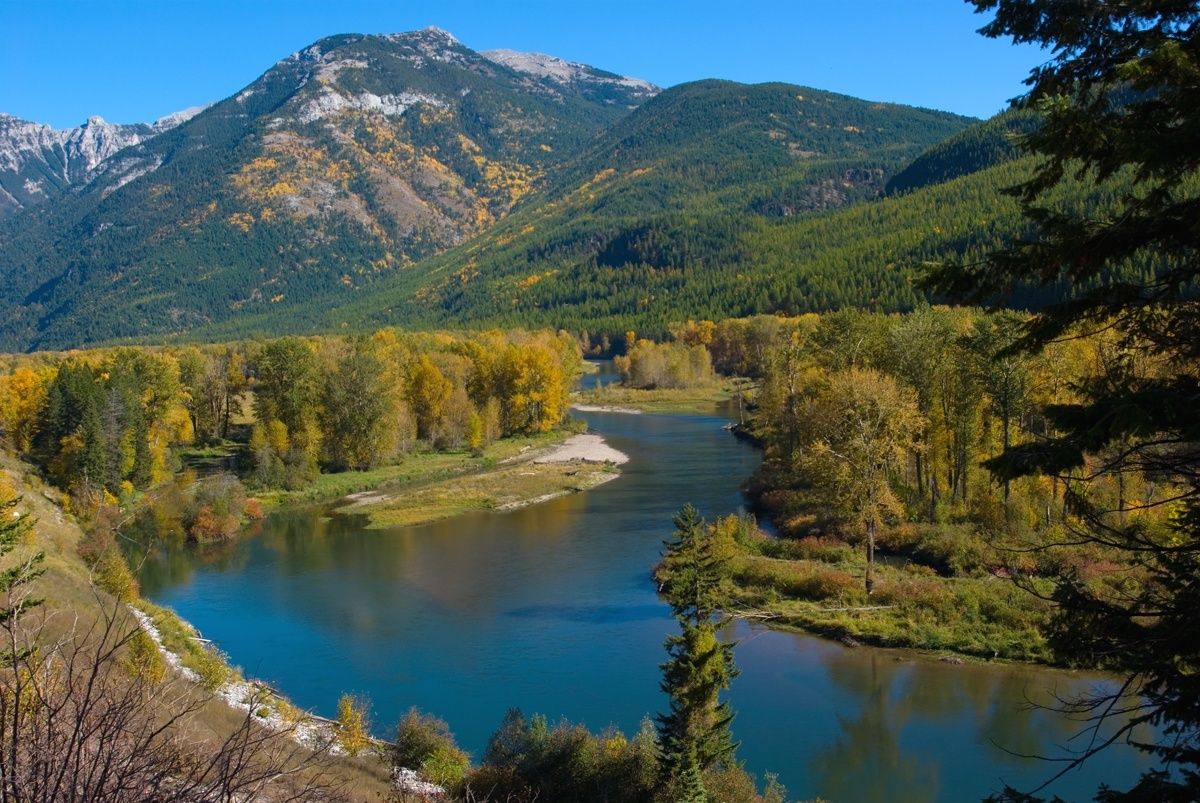
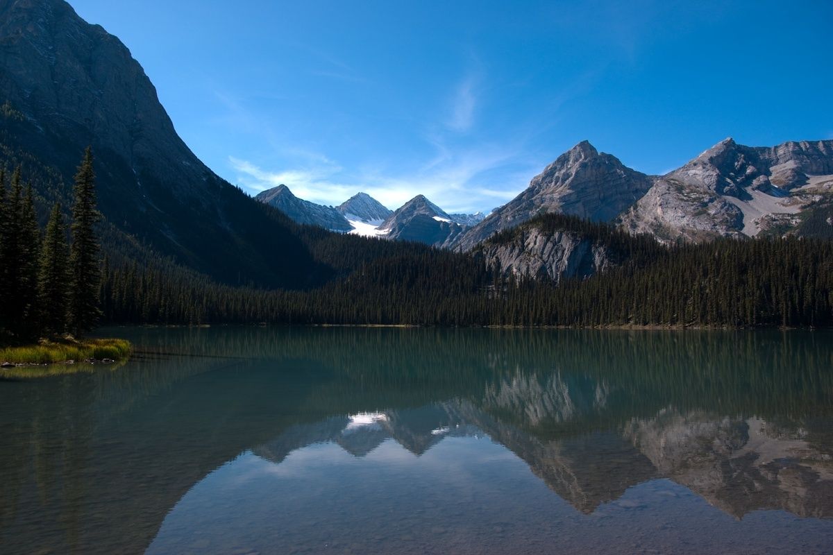
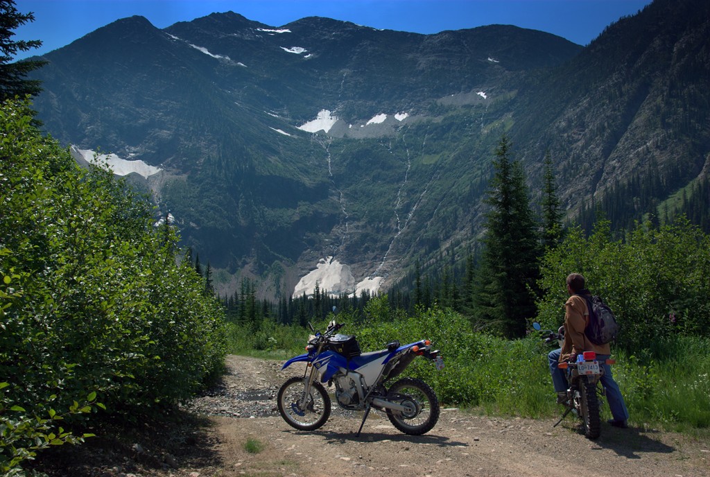
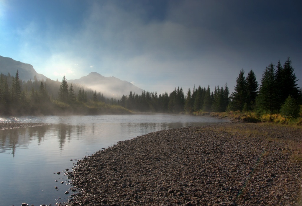
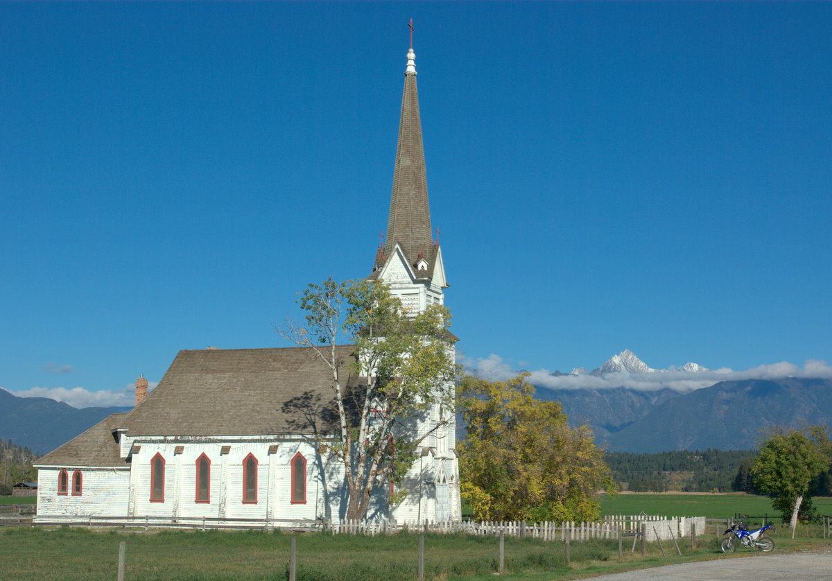
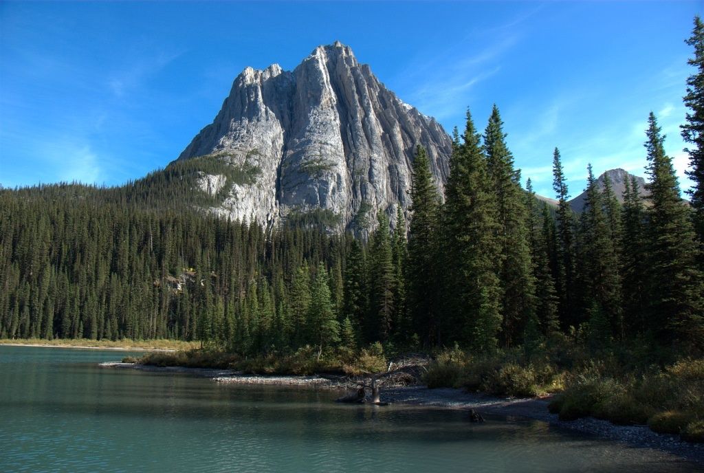
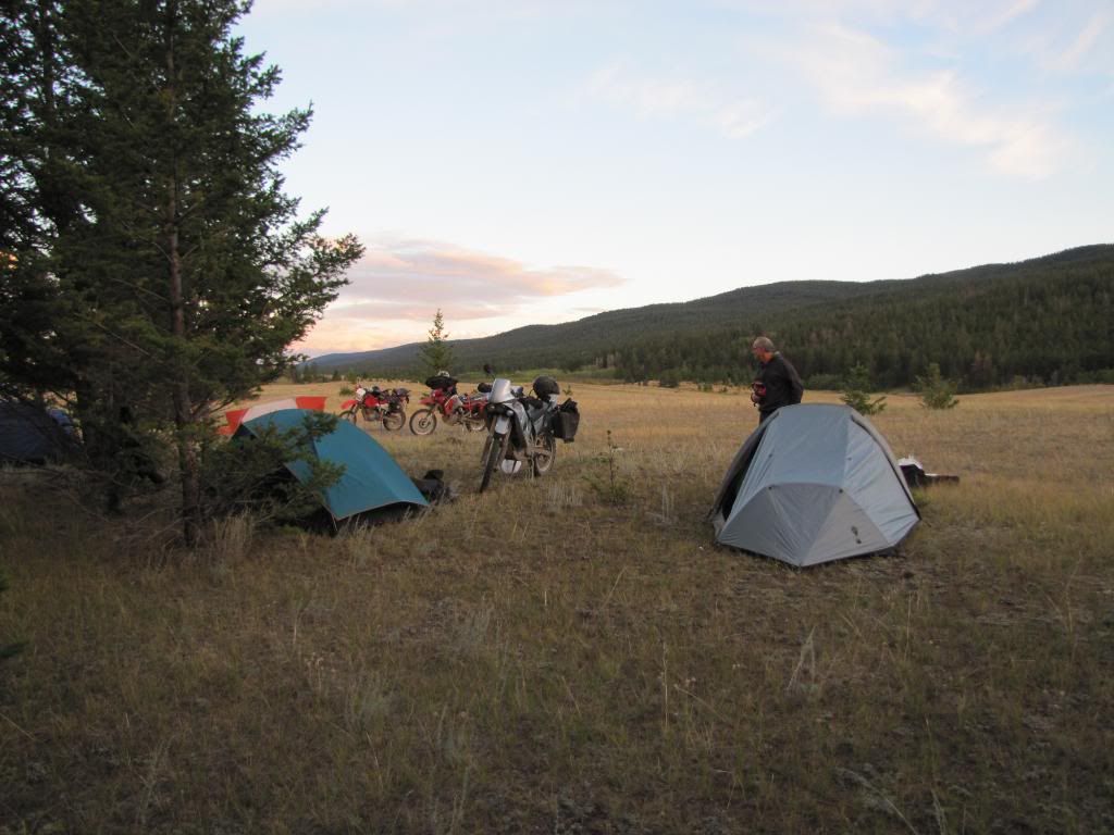
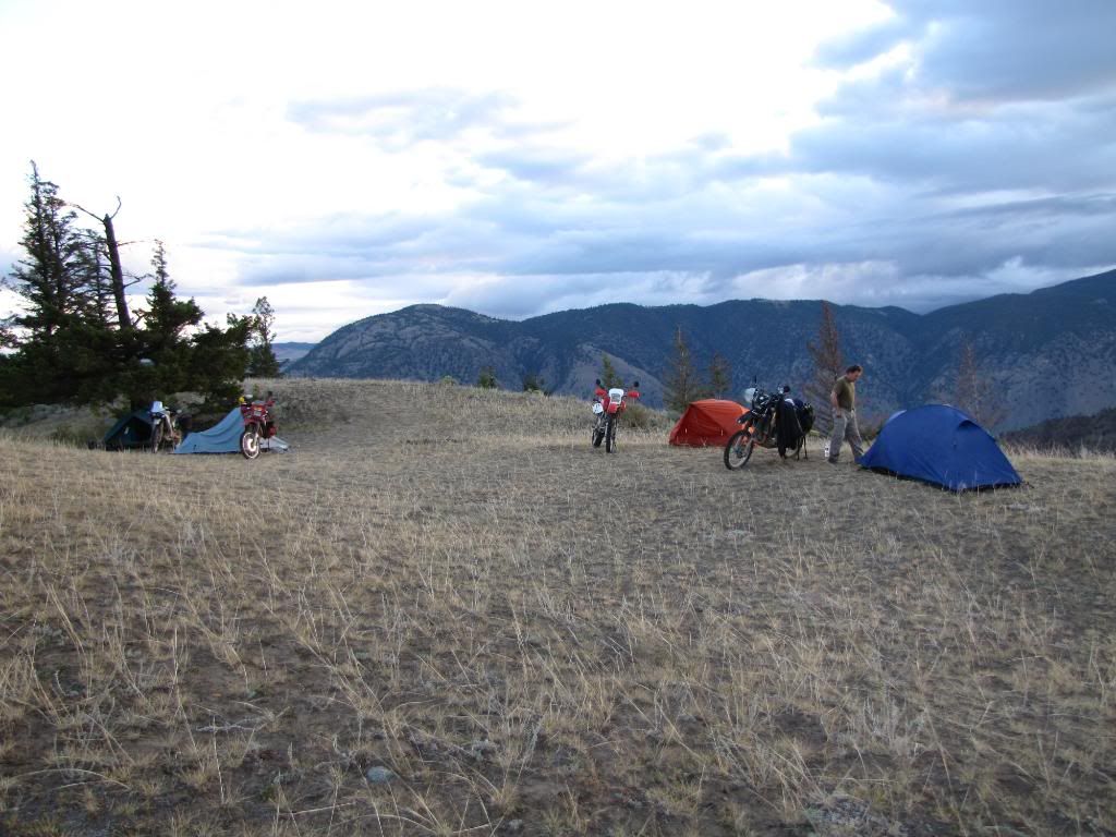
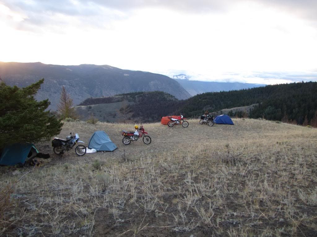
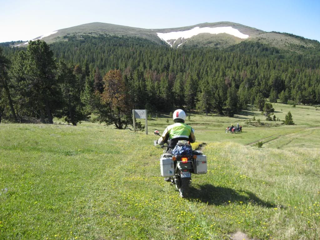
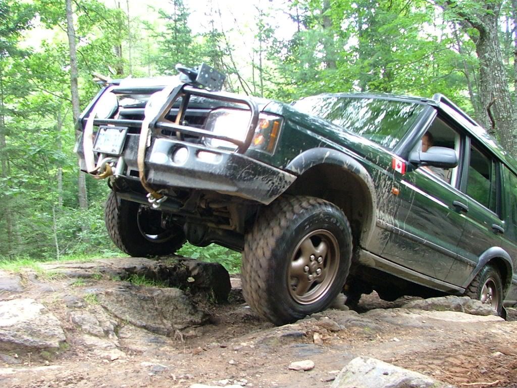
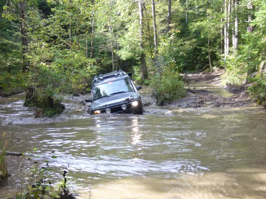
As for the BC guys, Ross and David....wow! I am always blown away by your photo's and I am simply chomping at the bit to get out and see what is in store for us in BC

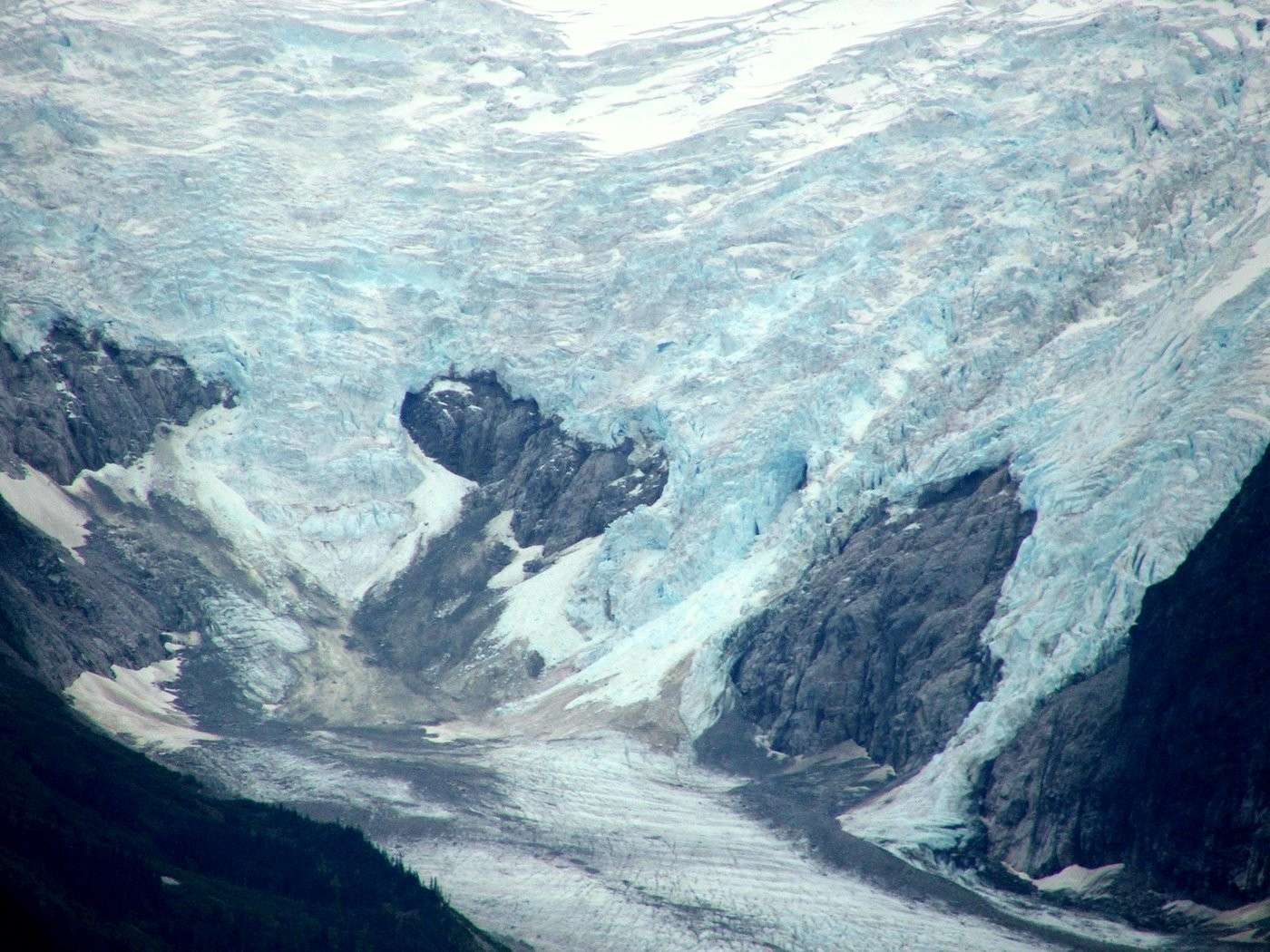
NFLD holds some great potential and I understand that Mike has been wrapping his head around what roads and trails would best suit the project. If all goes well I'll get a chnace to go out east to "the rock" and check out what is on the table for the beginning of the TCAT. From my brief visit there last season I'm sure it will be impressive. The viking highway was one of the most enjoyable paved roads I've ridden in a while, waves from the Atlantic crashing on your left and the mountains of Gros Morne park on your right....stunning Throw in some gravel to get across the island and well.....NFLD should be fantastic

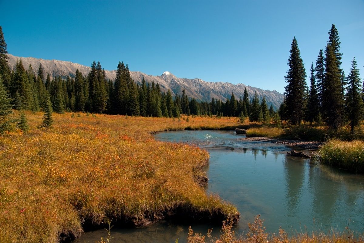
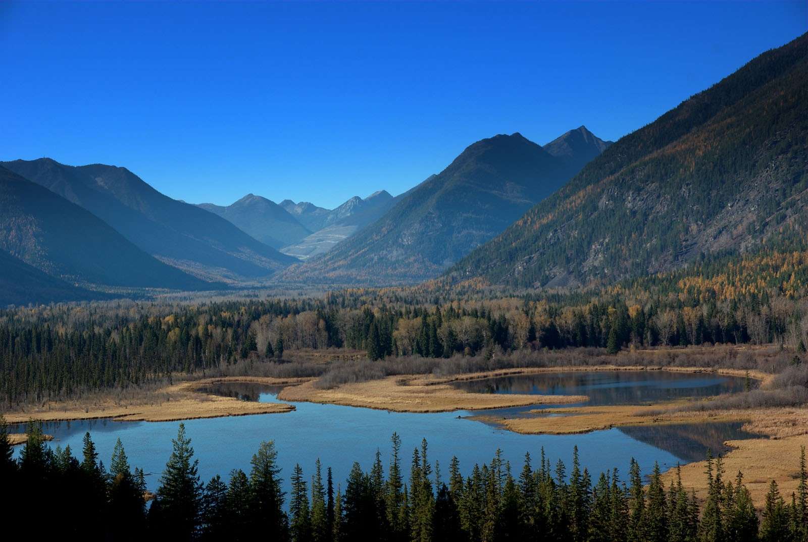
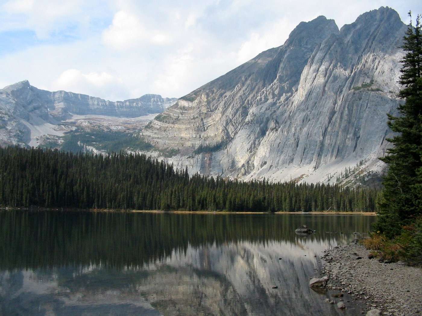
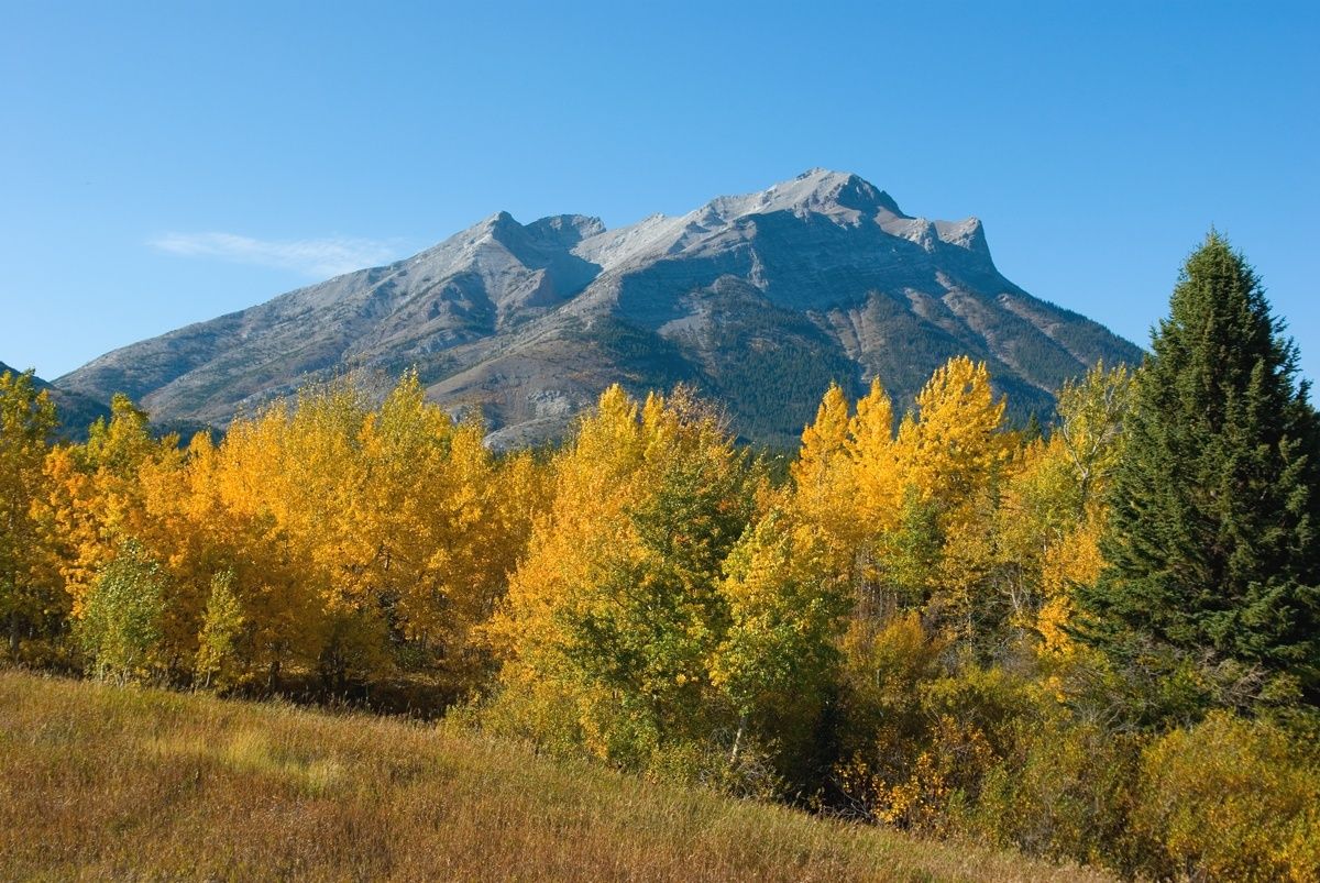
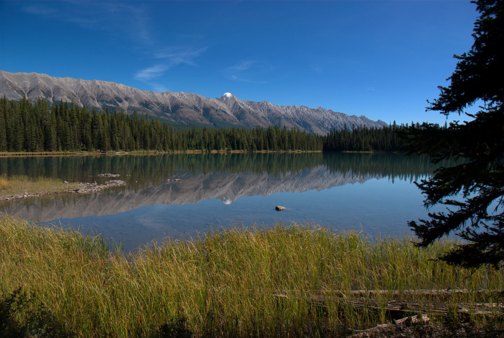
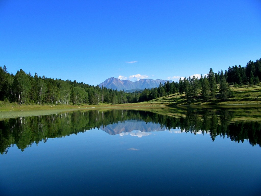
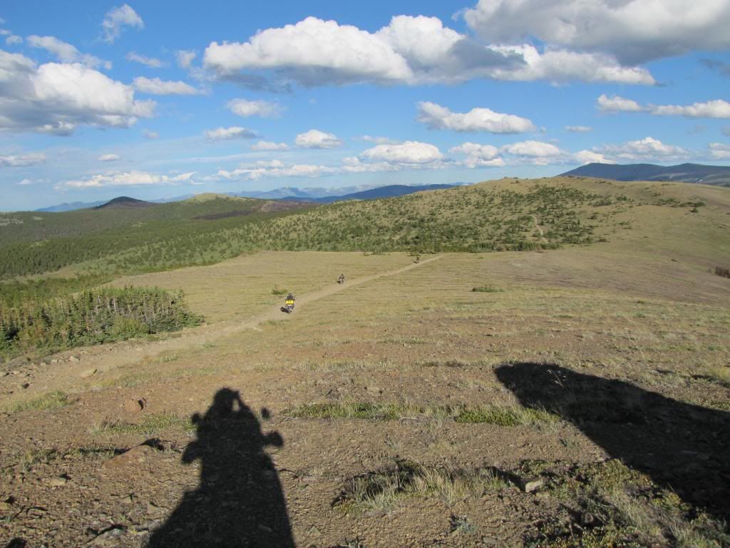
Chris has taken on a lions share of the route (Manitoba, Sask and Alberta) and seems to have put together a tenatative game plan for the "middle" of the country. I know I am not alone when I say I was sceptical about the prairie provinces but after seeing some photo's and getting a chance to get a glimpse of some of the proposed route last fall I am shocked at the beauty this area has to offer. Stunning, diverse, barren, etc....

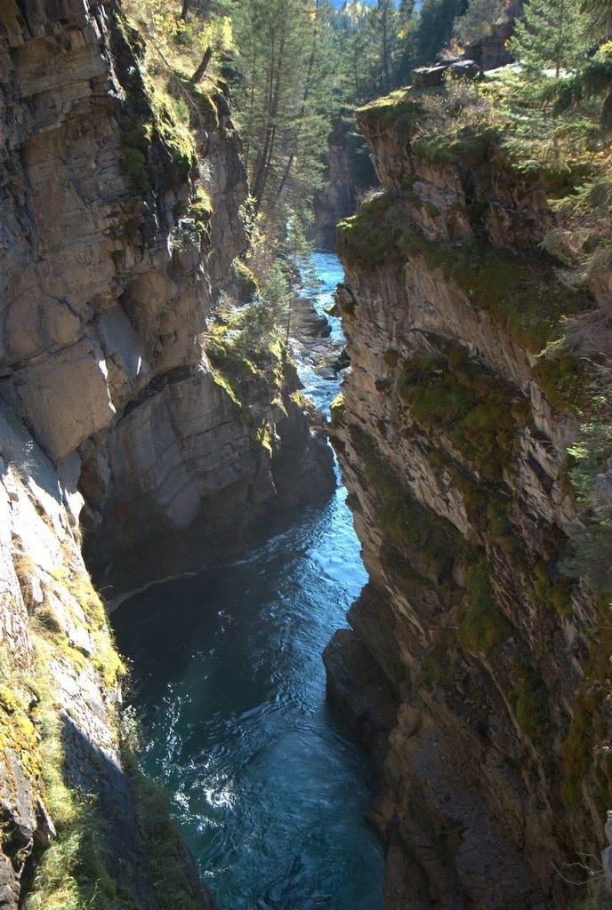
Fab has created a proposed route for eastern Quebec, from the posts he has done in this thread and the info I have been privy to I think he has put together something that blends very well into the whole theme of the TCAT. Remote gravel roads that bring people to places they would norrmally not see. The scenery and culture in that neck of the woods looks amazing. I am planning to meet up with Fab in May and we will spend a few days riding his section of the route

Kelly has begun to create the maps for the different sections of the route. An absolutley great addition to the project The guidebook will have detailed and accurate maps for each gpx file, an overview for each chapter and a map of the entire route. I sincerely feel that having a map really gives perspective to where you are and where you are going. Following a line on a gps can make you loose sight of the big picture, the maps Kelly is producing are a big bonus to the project

Negotiations are ongoing in regards to who is going to create the finsihed product for the gps files.....stay tuned as it looks we may have another fellow coming on board to help out with this protion of the project


So yes, although winter has set in for most of us in Canada, ALOT of work has been going on behind the scenes. The project has really begun to take shape, due soley to the fact that so many people are volunteering their spare time to help out. I've said it before but I'd like to say it again.....
THANKS

Lot's of plans for next season To date I am going to guess and say about 50% of the route has been ridden and about 80% of the route has been mapped. This upcoming year is a big one for the TCAT as most of the folks involved are going to be riding their portions of the route and making adjustements as needed. As pieces to the puzzle get completed the guidebook, maps, gps files, etc start to get worked on. Alot of spokes to this wheel and it's beginning to pick up momentum


Spring is only a 8 weeks away and I can't wait to get back into my home away from home again


2751313_l.JPG
 

bouts

New member
This is truly a wonderful project!! I am more than excited to get out and run parts of the trail!! I'll be keeping to the main trail though, as I have a full size 4x4!!! But by gosh, this sort of thing is EXACTLY what I was looking for!!! Good work and congratulations to all involved!!!!!!!
 

Redline

Likes to Drive and Ride
Very nice indeed, thank you for your continued work. I look forward to exploring this route via 4x4 and/or moto.
 

deadly99

Explorer
Cross Post from a fellow in Ontario who has been mapping out some trails in that province, another great source of help on the project. Thanks Rob :victory:

Alright, long time no post, but time to get caught up.

Before I get started with the truck stuff, just to show I belong here :deal.

My bike at the end of the line. This is near Hastings, Ontario, during my own little "Ontario Overland Project" documented elsewhere, where I'm exploring and posting about all of the rail trails usable for exploration in Eastern Ontario.

P7040118.jpg


Nice swimming spot near Madoc.

P7040100.jpg


More here:

http://overlandcanada.com/forum/showthread.php?t=1078

So, on to the truck. Here it is:

DSCF5036.jpg


jeep2010sept020.jpg


But it's really more suited for this type of thing:

IMG_6320.jpg


And towing my homebuilt offroad camping trailer:

IMG_6184.jpg


I guess I'm one of the rare guys who likes getting out in/on any vehicle and had no prejudices. I even enjoy riding ATV's sometimes, and would love to get a snowmobile. It's all good in my book, and I really wish the different groups would cooperate more. I hear things like "XXX destroys the trails, I hate them!" coming from all groups. I think the greenies are winning a divide and conquer battle, currently. I don't see this kind of attitude from overlanders traveling on other continents, so I don't really see it as being helpful here. And as Ted states, there are not a lot of people on these trails in any case. I could usually count on one hand the number of other vehicles I saw on any given day.

As to the route, I know some of it from the area I have taken my truck, and would agree that much of it is completely doable in any normal truck. Heck, from what I've seen, much of it is doable in a car.

That may actually be a bad thing to some, I'd also love to see a true "trail" across Canada. But it's just not realistic for so many reasons. First, I just don't think the trails exist. Second... I've done the 2-day Corduroy Enduro, and it's just not the sort of thing I'm interested in doing for weeks on end while I'm supposed to be on vacation. :jkam
 

Forum statistics

Threads
188,533
Messages
2,906,364
Members
230,598
Latest member
Bobah
Top