You are using an out of date browser. It may not display this or other websites correctly.
You should upgrade or use an alternative browser.
You should upgrade or use an alternative browser.
Creating a Cross Canada Overland Route
- Thread starter deadly99
- Start date
762X39
Explorer
Don't need to say anything else...Another random fact about Canada.
We pride ourselves on having good beer
paulj
Expedition Leader
On two trips I poked around the Fraser River between Lillooet and the Big Bar ferry.
On one trip I crossed the Pavillion Hills and then took the High Bar road into the canyon

This was a half dozen switchbacks with 24+% grade. Without low range, I could smell my brakes getting hot (it may have been baking dust). That road then runs on the east side of the river to the Big Bar ferry. After camping at Big Bar Prov Park I continued north to Williams Lake and west to Bella Coola. The grade on The Hill to Bella Coola is famous, but compared to High Bar it felt quite tame. On the return leg I 'cut the corner' and found my way through Gang Ranch and its suspension bridge crossing.
On a later trip I tried all the routes between Pemberton and Lillooet (including the High Line above Anderson Lake). I considered taking the West Pavillion Road to the Big Bar ferry, but instead drove south to Lytton, took the reaction ferry across there, and came back to Lillooet via the west side road. There are more settlements on this stretch (mostly reserves?), but possibly more curves. It widens north of Texas Creek, presumably to accommodate logging traffic.
On one trip I crossed the Pavillion Hills and then took the High Bar road into the canyon

This was a half dozen switchbacks with 24+% grade. Without low range, I could smell my brakes getting hot (it may have been baking dust). That road then runs on the east side of the river to the Big Bar ferry. After camping at Big Bar Prov Park I continued north to Williams Lake and west to Bella Coola. The grade on The Hill to Bella Coola is famous, but compared to High Bar it felt quite tame. On the return leg I 'cut the corner' and found my way through Gang Ranch and its suspension bridge crossing.
On a later trip I tried all the routes between Pemberton and Lillooet (including the High Line above Anderson Lake). I considered taking the West Pavillion Road to the Big Bar ferry, but instead drove south to Lytton, took the reaction ferry across there, and came back to Lillooet via the west side road. There are more settlements on this stretch (mostly reserves?), but possibly more curves. It widens north of Texas Creek, presumably to accommodate logging traffic.
this is so awesome. it makes me want to move back to Canada.
Papa
Observer
A bit of info on where we stand with this project.
In December I am heading to South America to work on the support crew of Team Rally Pan Am in the 2012 edition of the Dakar Rally. This year the team has three riders, two mechanics, a team manager and myself (the "tourist" or gopher, tent setter upper, truck driver, etc). Jonah Street is the star rider of the team and is a potential for a spot on the podium. All for now, see ya when I get back in October.
Ted
We met Jonah at the Ellensburg overland rally where he presented a video of his last Dakar rally and answered lots of questions about the rally and his life. A more humble guy you won't meet. Luckily for us Ellensburg is his home town.
You are doing a great job on the Canadian project and it is much appreciated.
Rocket Ship
Banned
Ted is currently on the road expanding the route out in eastern Quebec and New Brunswick.
A few teaser pics, full report once I get back home
Lots of this across New Brunswick

Some fun stuff across the Christmas Mountain Range in New Brunswick

Exploring route options in the Gaspe Bay Penninsula

Camp site overlooking Perce Rock on the Gaspe. Beauty camp spot

Rode through the Chic Choc mountains

Approaching the St Lawrence River

Northern Ontario
Gord has taken on a section of the route from Wawa to north of Thunder Bay. Here is his report from his explorations a few weeks back.
Gord has taken on a section of the route from Wawa to north of Thunder Bay. Here is his report from his explorations a few weeks back.
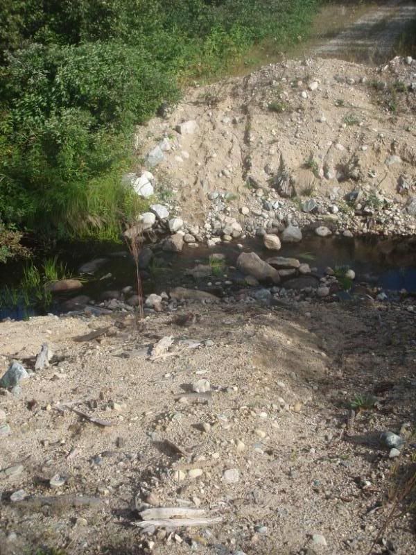
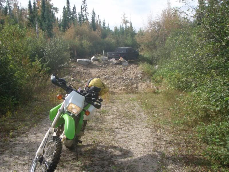
on the bike the road is very grown in in places.
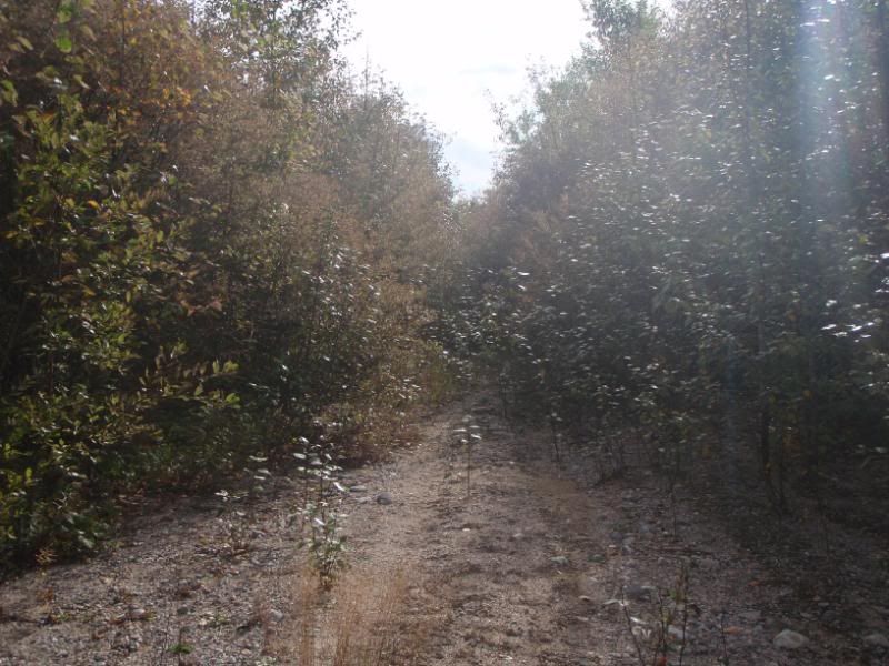
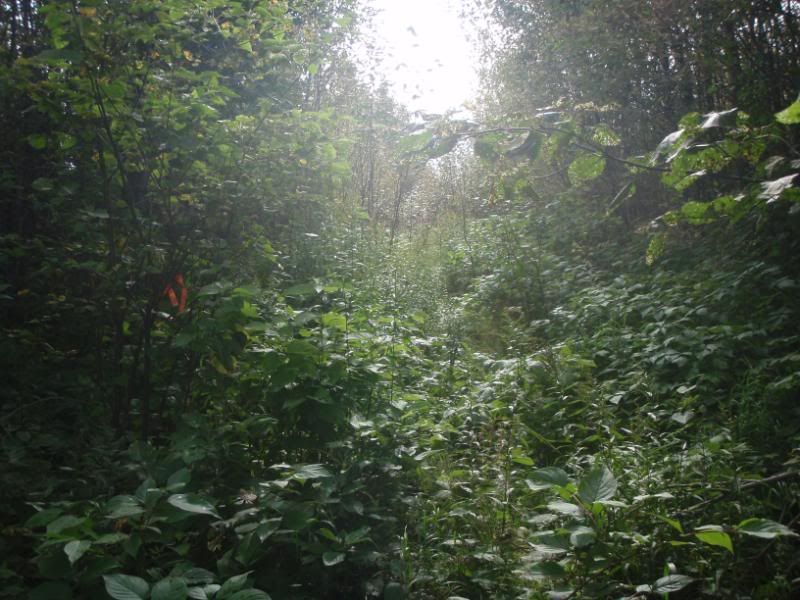
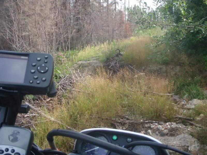
Beavers are always a problem.
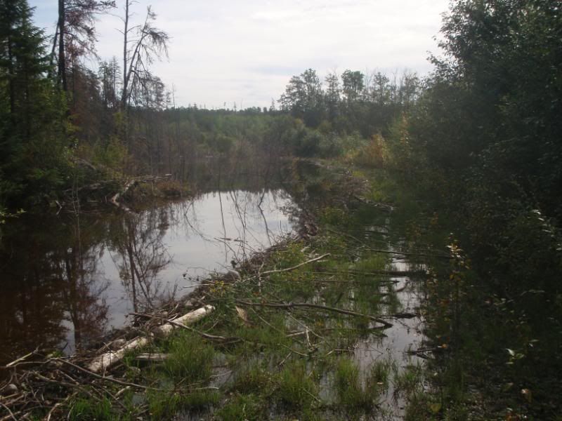
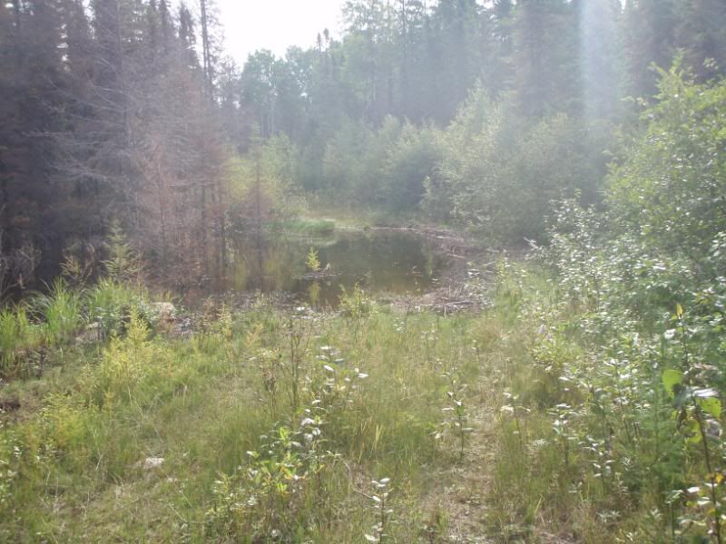
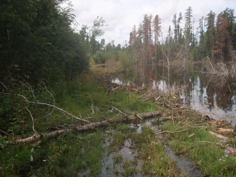
IN the gps tracks and points someone sent me there are swamps listed up here. swamp 1, swamp 2, etc.
I come across swamp 1.
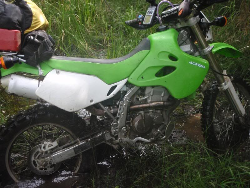
After manually draging my bike out I skirt the sides and blast the holes and get through.
this gets me to a grassy area that isn't even listed as a swamp but is rough and muddy and almost unrideable.
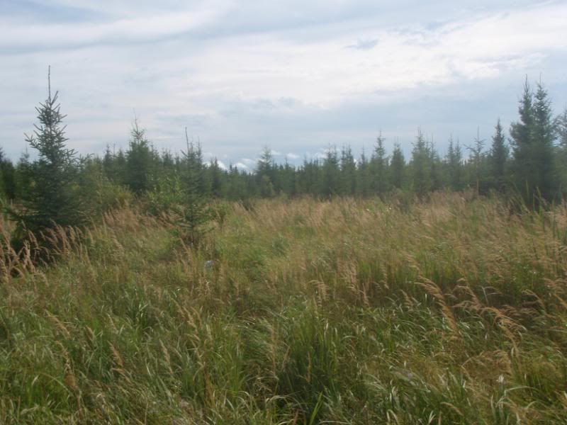
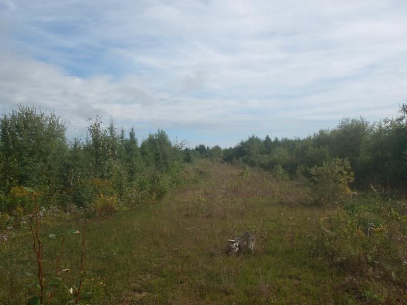
I elect to admit deafeat and turn around. I'm just glad I'm not riding my 950 in this stuff alone.
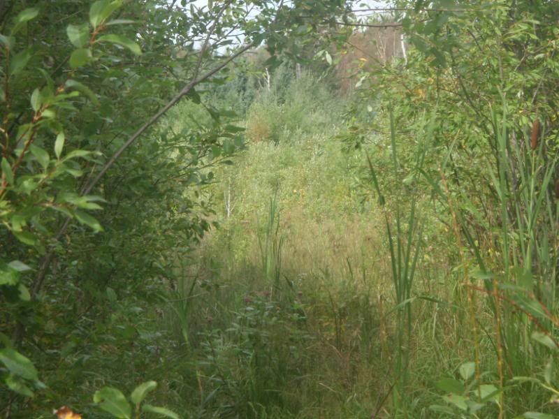
my defeated look. Only made it 12km form the truck
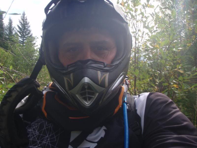
back at the truck
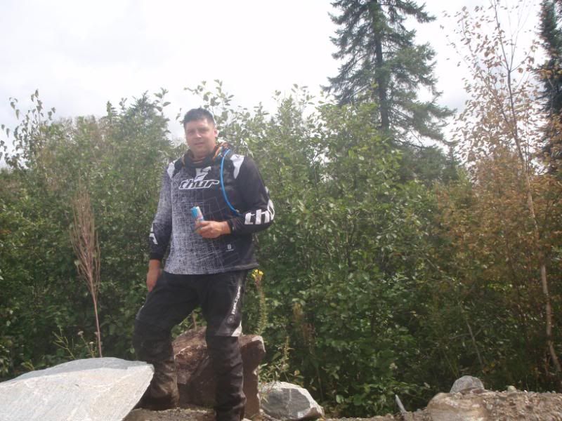
I have one more option I hope to explore tomorrow.
Northern Ontario Continued
Northern Ontario Continued.
For the TCAT this was one of the real problem areas to get through. Decomosioned roads and swamps were getting in the way as well as unreliable maps for the area. Stoked Gord found a route through this area :ylsmoke:
Northern Ontario Continued.
For the TCAT this was one of the real problem areas to get through. Decomosioned roads and swamps were getting in the way as well as unreliable maps for the area. Stoked Gord found a route through this area :ylsmoke:
here's a few pics of the route wawa to Hearst. I took the bike through a route I mapped on google earth hoping it would be less swampy.
It was cold but a nice morning.
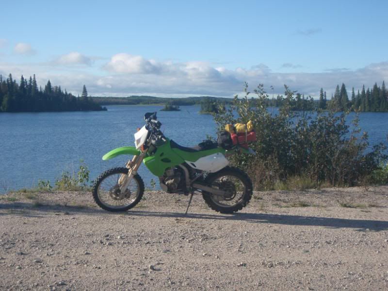
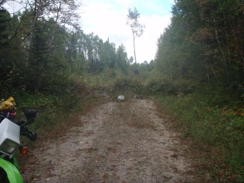
once up in the roads less travelled about 140km in you can tell the roads haven't been unused for some time.
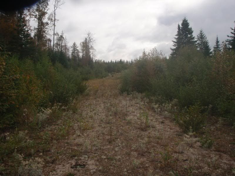
some attemp at closing up the road years ago. See the size of the tree growing out of the berm.
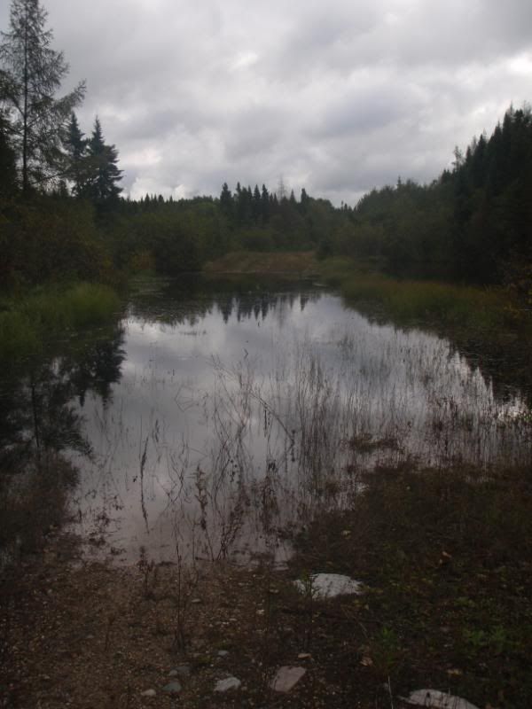
the deepest water crossing. maybe 18 inches. but solid ground under.
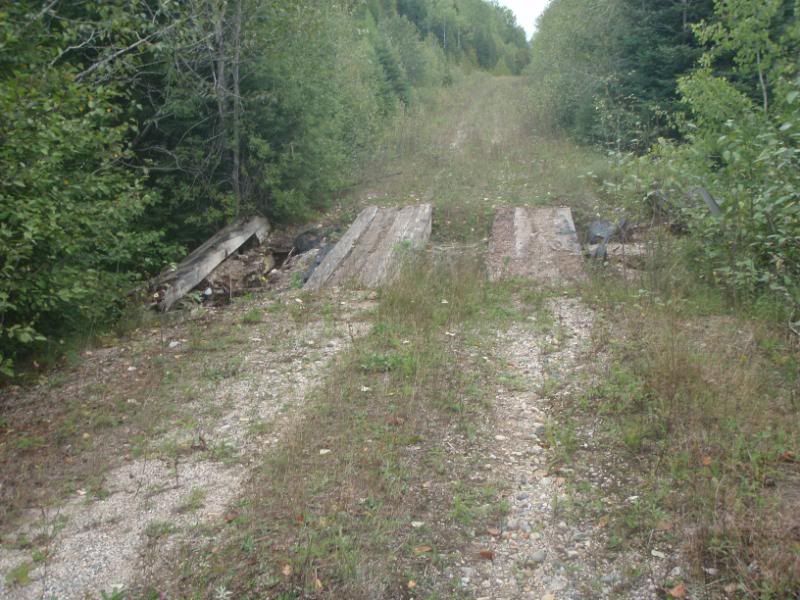
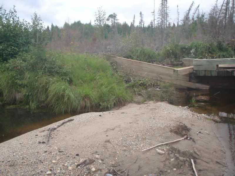
there were 4 or 5 of these old timber bridges. use at your own risk. I cross quickly. :evil
Our pesky canadian beaver modified this one a bit.
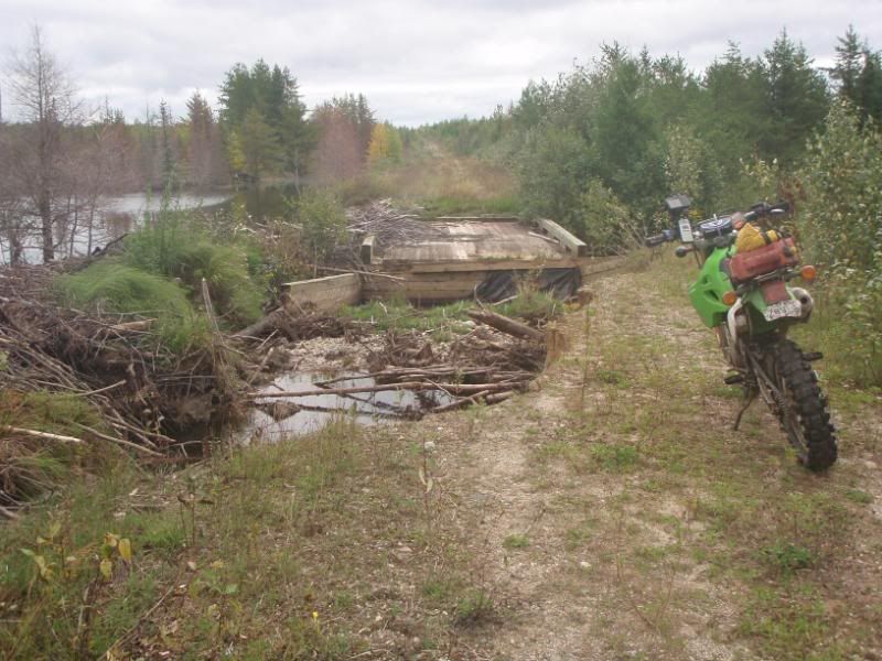
Easy crossing though.
Then onto hearst logging roads
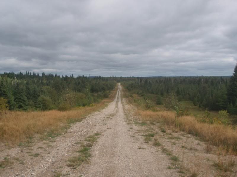
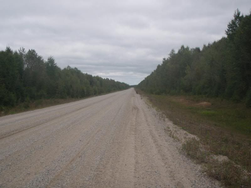
and they get bigger (went for a jog to warm up, see my bike up there)
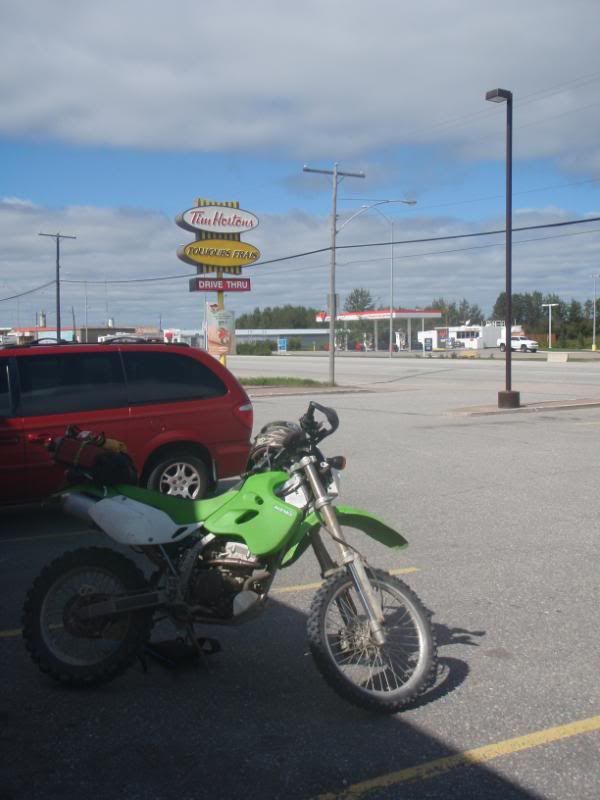
proof I was there (le Tim 'orton)
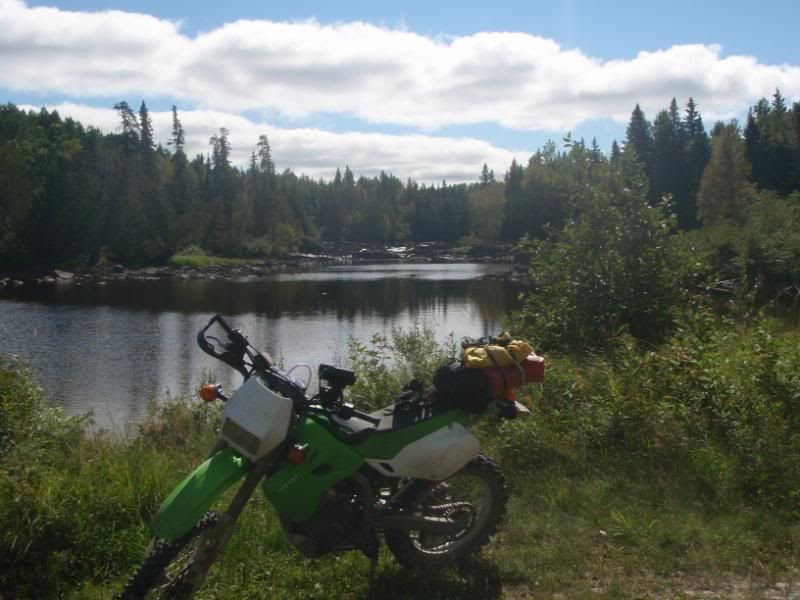
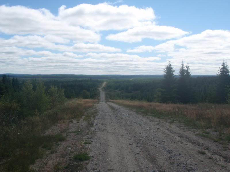
the long road home
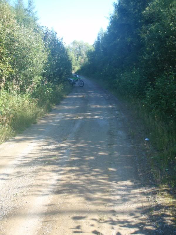
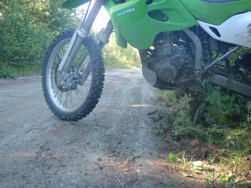
skid marks, went down at about 70 kph. Not sure why but the back tire washed out so fast I didn't have time to do anything but bounce off the ground and skid for a long time. There was some animal fur and bone in the dirt where my skid marks started. Maybe greasy animal remains or the animal spirit was angry??
I thank my riding gear for doing it's job, just need some stitching on my ktm rally jacket and a new buckle for my alpinestar boot.
I just got back from exploring western Quebec and riding the proposed TNE route across New Brunswick. Both were quite succesful, stories to come. A gal from Atlanta rode up and completed the proposed route in NW Ontario, stories to come. The route is coming along nicely due to the help from various folks in test riding different sections and contributing to the project in a big way. Still on track for oour release dates....TNE this November and the TCAT in the fall of 2012.
Left work Friday and met Shipwreck down the road.

Seems like always I forgot to pack some stuff and shortly after finally getting on the road I realised I forgot to go to the bank. Back to Ottawa we went and now fought rush hour traffic on a hot day. Hours later we finally left the city and headed east. It doesn't seem to matter how many trips I do, the leaving always becomes stressful.
Left Ontario and crossed into Quebec

A quick stop on a freeway pulolover for some grub and the sun set as we ate


Hit the highway and grabbed a motel room in some town near Troisi Rivierre. The town seemed lively with tons of pirates around and only one hotel. Seemed odd that they provide locks out front, suppose bike theft is an issue. Made me nervous but what can ya do.


A little disclaimer, this trip wasnt quite as hardcore as others. We stayed in motels more than we camped and rode more slab than I would normally choose to. That being said we rode some great roads and saw some amazing parts of the country :nod
The next day was a slab fest to get to the start of the route near the bottom of New Brunswick.
Small town Quebec, they have some very impressive churches.

Flew by Quebec city and crossed the St Lawrence river.

Seems like always I forgot to pack some stuff and shortly after finally getting on the road I realised I forgot to go to the bank. Back to Ottawa we went and now fought rush hour traffic on a hot day. Hours later we finally left the city and headed east. It doesn't seem to matter how many trips I do, the leaving always becomes stressful.
Left Ontario and crossed into Quebec
A quick stop on a freeway pulolover for some grub and the sun set as we ate
Hit the highway and grabbed a motel room in some town near Troisi Rivierre. The town seemed lively with tons of pirates around and only one hotel. Seemed odd that they provide locks out front, suppose bike theft is an issue. Made me nervous but what can ya do.
A little disclaimer, this trip wasnt quite as hardcore as others. We stayed in motels more than we camped and rode more slab than I would normally choose to. That being said we rode some great roads and saw some amazing parts of the country :nod
The next day was a slab fest to get to the start of the route near the bottom of New Brunswick.
Small town Quebec, they have some very impressive churches.
Flew by Quebec city and crossed the St Lawrence river.
Got off the highway for a bit and followed the St Lawrence river heading west. Some amazing scenery and the sun was shining


I assume this was roadkill as moose season doesnt start for a while :huh


Like any good Canadian we did our fair share of Tims stops. We even went so far as to pick up some thermos to bring the bean on the road with us :thumb

We phoned R-Charger, we had exchnaged some emails last year and I was going to stop in on my return from Labrador, then again this spring and then again this summer. This became the trip that kept getting delayed and I am sure he was shocked when I emailed and mentioned I was finally going to be in his neck of the woods and was the tent space and beers still on the table. We made a meeting spot and Shipwreck and I made some miles heading to a small town near where he lives.


All in all it was a long day. We had left early, rode many miles and finished in the dark. A warm welcome, an awesome home cooked meal and a couch to sleep on, oh ya and a few beers until quite late :freaky
When we met R-Charger he and his wife met us on a pair of klr's with child strapped to the back. I always find it very cool to meet families that ride together. East coast hospitality lived up to its reputation. Great people with great attitudes towards life. THANKS AGAIN :deal
Everyone loves a camera first thing in the morning don't they :rofl

Did I mentioned that R-Charger is a genius? Check out this 6 pack holder with custom foam holders to reduce vibrations. Water tight in case one breaks and just enough room for an ice pack. GENIUS :clap

Played around with the gps units and in the morning we headed out on the intended route. R-Charger joined us for the morning and it was great having the company.

Pavement quickly turned to gravel and we were cruisng along when we came a washout. I am informed that last December the province recieved a record rainfall that flooded almost every creek and river in the area and blew many bridges right of their mounts and left them a few dozen meters down stream. The province seems to be making great progress on the rebuild but sadly this one wasn't finished.


No worries, we picked some other gravel roads and continued north. Somewhere along the way I lost most of my electrics (Speedo, lights, signals, etc). We stopped for gas in the small town of Boise and I discovered a broken fuse. Bought some spares and changed it out and voila, back in business, 1 minute later I loose the lights again and then I loose the ignition. Both fuses blown.....ah crap. As I was just beginning to tear into the bike I noticed a cable tie had come loose and my speedo cable was frayed. The ground was touching one of the leads and causing fuses to melt. Some quick electrical tape and reconnect the wires and reroute them and we were off. Said adios to R-Charger and we headed north. Some fun logging roads and we were really enjoying the afternoon.


I really enjoyed New brunswick, it seems like everyone lives around the outside perimeter and the middle is a vast wilderness with miles of gravel roads and some nice hills. A few secondary paved roads and not much else. Gas was a concern and my gps was missing chunks of the track, something odd had happened whiole I was playing with it the night before. No worries we thought, find a lake called Serpentine and the lodge on the lake has gas. R_Charger had called in the morning to confim. Sounded easy enough......
I assume this was roadkill as moose season doesnt start for a while :huh
Like any good Canadian we did our fair share of Tims stops. We even went so far as to pick up some thermos to bring the bean on the road with us :thumb
We phoned R-Charger, we had exchnaged some emails last year and I was going to stop in on my return from Labrador, then again this spring and then again this summer. This became the trip that kept getting delayed and I am sure he was shocked when I emailed and mentioned I was finally going to be in his neck of the woods and was the tent space and beers still on the table. We made a meeting spot and Shipwreck and I made some miles heading to a small town near where he lives.
All in all it was a long day. We had left early, rode many miles and finished in the dark. A warm welcome, an awesome home cooked meal and a couch to sleep on, oh ya and a few beers until quite late :freaky
When we met R-Charger he and his wife met us on a pair of klr's with child strapped to the back. I always find it very cool to meet families that ride together. East coast hospitality lived up to its reputation. Great people with great attitudes towards life. THANKS AGAIN :deal
Everyone loves a camera first thing in the morning don't they :rofl
Did I mentioned that R-Charger is a genius? Check out this 6 pack holder with custom foam holders to reduce vibrations. Water tight in case one breaks and just enough room for an ice pack. GENIUS :clap
Played around with the gps units and in the morning we headed out on the intended route. R-Charger joined us for the morning and it was great having the company.
Pavement quickly turned to gravel and we were cruisng along when we came a washout. I am informed that last December the province recieved a record rainfall that flooded almost every creek and river in the area and blew many bridges right of their mounts and left them a few dozen meters down stream. The province seems to be making great progress on the rebuild but sadly this one wasn't finished.
No worries, we picked some other gravel roads and continued north. Somewhere along the way I lost most of my electrics (Speedo, lights, signals, etc). We stopped for gas in the small town of Boise and I discovered a broken fuse. Bought some spares and changed it out and voila, back in business, 1 minute later I loose the lights again and then I loose the ignition. Both fuses blown.....ah crap. As I was just beginning to tear into the bike I noticed a cable tie had come loose and my speedo cable was frayed. The ground was touching one of the leads and causing fuses to melt. Some quick electrical tape and reconnect the wires and reroute them and we were off. Said adios to R-Charger and we headed north. Some fun logging roads and we were really enjoying the afternoon.
I really enjoyed New brunswick, it seems like everyone lives around the outside perimeter and the middle is a vast wilderness with miles of gravel roads and some nice hills. A few secondary paved roads and not much else. Gas was a concern and my gps was missing chunks of the track, something odd had happened whiole I was playing with it the night before. No worries we thought, find a lake called Serpentine and the lodge on the lake has gas. R_Charger had called in the morning to confim. Sounded easy enough......
After a couple of hours we found Serpentine Lake but no sight of a lodge. We poked around ono some different roads before giving up with the thought that we were just wasting fuel going back and forth on logging roads. Nort enough gas to turn around and go back we did the only reasonable thing we could, charge on ahead and hope the next spot we had earmaked on the map had fuel and that it would be open this time of day as it was getting on in the afternoon.

The road began to get narrower and narrower until eventually it turned into an atv trail. A few small water crossing and a couple of funky bridges and after about 5-10 km's we popped out on another gravel road. I always get a bit anxious riding through unknown water with a loaded bike a couple of hundred km's into unknown wilderness. Turns ouot it was fun and althogh a bit slick in a couple of spots was no big deal :thumb


After a bit of checking the maps and the gps units we headed north east to the next spot we thoght might have gas. Along the way we met some loggers in a truck and I flagged them down. They were real nice and told us we should have turned left after getting off the snowmobile trail and there is a lodge up that ways. We turned around and headed back.

We found the lodge and low and behold its the Sperpintine Lake Lodge and it is nowhere near the lake, like maybe 30-50 km's away. Very freaking odd and weird that it didnt come up in conversation, maybe it did and the beers clouded my memory...who knows ?
Cool lodge with high grade fuel :clap
The owner gave us instructions on how to get out of the bush and back to some pavement (about 60 km's away witha left, right, left, right, right kinda directions)

The lodge has some cabins to rent, food, fuel and beer :thumb A waypoint was certainly taken as this is a must do stop in these parts and the only fuel for miles around.


Stoked to have full tanks again we headed out. We stopped at Moount Carelton Park and brewed up some Tims in the parking lot and enjoyed the view. Thsi mountain is the largest in the province and for 8 bucks you can take a gondola to the top (I think).

Another hour or so of gravel and pavement brought us to a small town where we thankfully grabbed a cheap motel room for the night just before it got dark.

I was pretty stoked the route worked out. The TNE across New Brunswick is a great 1-2 day ride depedning on speed and time on the bike. Lots of cool scenery, friendly people and some amazing wilderness. The roads have tons of hills in them to make it interesting. We were pretty exhausted as we had been on the bikes for many, many hours in the last two days and sleep came easy.
The road began to get narrower and narrower until eventually it turned into an atv trail. A few small water crossing and a couple of funky bridges and after about 5-10 km's we popped out on another gravel road. I always get a bit anxious riding through unknown water with a loaded bike a couple of hundred km's into unknown wilderness. Turns ouot it was fun and althogh a bit slick in a couple of spots was no big deal :thumb
After a bit of checking the maps and the gps units we headed north east to the next spot we thoght might have gas. Along the way we met some loggers in a truck and I flagged them down. They were real nice and told us we should have turned left after getting off the snowmobile trail and there is a lodge up that ways. We turned around and headed back.
We found the lodge and low and behold its the Sperpintine Lake Lodge and it is nowhere near the lake, like maybe 30-50 km's away. Very freaking odd and weird that it didnt come up in conversation, maybe it did and the beers clouded my memory...who knows ?
Cool lodge with high grade fuel :clap
The owner gave us instructions on how to get out of the bush and back to some pavement (about 60 km's away witha left, right, left, right, right kinda directions)
The lodge has some cabins to rent, food, fuel and beer :thumb A waypoint was certainly taken as this is a must do stop in these parts and the only fuel for miles around.
Stoked to have full tanks again we headed out. We stopped at Moount Carelton Park and brewed up some Tims in the parking lot and enjoyed the view. Thsi mountain is the largest in the province and for 8 bucks you can take a gondola to the top (I think).
Another hour or so of gravel and pavement brought us to a small town where we thankfully grabbed a cheap motel room for the night just before it got dark.
I was pretty stoked the route worked out. The TNE across New Brunswick is a great 1-2 day ride depedning on speed and time on the bike. Lots of cool scenery, friendly people and some amazing wilderness. The roads have tons of hills in them to make it interesting. We were pretty exhausted as we had been on the bikes for many, many hours in the last two days and sleep came easy.
Seans take on the first few days of our trip
Well here is my photo's and such... As Deadly said I only took out my camera when we stopped, and we would take a moment...
We meet up....

Great view from the first stop....:huh

The views starting to get better...
Say hi Deadly!!

The longest covered bridge....

We meet up at R-Charger's home.... Great to meet you guy's and girls.... Great family you have,

The doctors at work over the electrical mystry

A couple of money shots, as we would call them,,, through New Brunswick


Feeding the wild life at Mount Carleton...

She actually had this fox coming to her and following her around like a puppy dog.
It seemed this hill or mountain was in the middle of this town

Right in front of my favorite store... Where I picked up a hockey neck protector whick worked wonderfully for the rest of the ride...

Another Church moment.... Churches were not just impressive but plentyful through the entire coast.

Here is our first real stop at the ocean, for someone that does not ever see the ocean, the pictures do not do justice to how big that water really is....

Keep in mind we stopped for me at every 150-200km for gas.
So another ocean side stop...

We started down our first attemped trail on the Gaspe 50km or so just to find..... bridge out...


Finally made it to the ROCK... What a camp site, what a view...

Pierce Rock...
it Is much bigger than it looks

tent side view....swwweeeet

Other veiws from the picnic table...


The town of Pierce

Goofing around


The Next morning... view of the Rock.... But Really Ted should tell you about Dinner and the events that would lead you to being awake to see the sun rise.... Its sure not what I wanted to do after 3or4 days of 8+ hrs a day of riding.
Lots of sweet pictures like this can be found a 5 am...:eek1

Carry on Deadly I know your dyin to tell this part..:freaky.
Sean continued
Here is a couple more 5am shots while Deadly is collecting his thoughts....


Got an early start and hit the road to Quebec. About an hour of slab to get to a town called Cambelton which sits on the border between the Gaspe Penninsula (Quebec) and New Brunswick. Some nice hills on this drive.

Temperatures were getting colder as we moved north so we stopped at an atv shop and a Candian Tire and bought some warmer supplies. Cambelton appears to be a cool place, a nice ski hill just outside of town and a senice bridge over the St Lawrence river.


The coast rode down the Gaspe was great. The time of year provided us with almost no tourists and the speed limits in Quebec are amazing. 90 km/hour through small villages made me feel like I was racing Isle of Man at times :thumb In Canada going 10 over the limit is acceptable for most folks, whizzing past children playing at 100 km/h takes a bit of getting used to but it seems to be the flow

We were doing the tourist thing and taking in the scenery and checking out the sites. Living in a landlocked part of the country, a coastal ride was a real change and quite enjoyable.


I had spent quite a bit of time researching the TNE route across the Gaspe. Part of it was based on experience from previous trips to the area and part of it was from using online mapping software. Sadly it didnt work out well. The first loop we tried to do up into the hills presented us with a gate and what appeeared to be a private road. The second loop up into the hills I had planned used a road that simply did not exist, or if it did it was some years back as we couldnt locate it anywhere near where it was supposed to be. The third loop was to be the big one, one I had ridden a few years back. It started off by following a major trunk road up into the hills and I was amazed when we ran across a bridge that had been removed by mother nature and not replaced :cry We had a coffe at this point I realized the Gaspe would need a complete rework for the TNE, not a bad thing as the consilation proze was the coastal road. I am unsure what to do with the Gaspe in regards to the TNE route, part of me is thinking a quick blast across it and save the Gaspe for its own multi day route as the potential is there for it to be a full on destination rather than just a part of the TNE. I'll have to give this some serious thought this week. The Gaspe isnt too far from where I live (10 hour slab ride) and I can foresee me coming back and spending a week and creating a real nice route with a combo of coastal paved roads and gravel logging roads in the mountains :thumb
Temperatures were getting colder as we moved north so we stopped at an atv shop and a Candian Tire and bought some warmer supplies. Cambelton appears to be a cool place, a nice ski hill just outside of town and a senice bridge over the St Lawrence river.
The coast rode down the Gaspe was great. The time of year provided us with almost no tourists and the speed limits in Quebec are amazing. 90 km/hour through small villages made me feel like I was racing Isle of Man at times :thumb In Canada going 10 over the limit is acceptable for most folks, whizzing past children playing at 100 km/h takes a bit of getting used to but it seems to be the flow
We were doing the tourist thing and taking in the scenery and checking out the sites. Living in a landlocked part of the country, a coastal ride was a real change and quite enjoyable.
I had spent quite a bit of time researching the TNE route across the Gaspe. Part of it was based on experience from previous trips to the area and part of it was from using online mapping software. Sadly it didnt work out well. The first loop we tried to do up into the hills presented us with a gate and what appeeared to be a private road. The second loop up into the hills I had planned used a road that simply did not exist, or if it did it was some years back as we couldnt locate it anywhere near where it was supposed to be. The third loop was to be the big one, one I had ridden a few years back. It started off by following a major trunk road up into the hills and I was amazed when we ran across a bridge that had been removed by mother nature and not replaced :cry We had a coffe at this point I realized the Gaspe would need a complete rework for the TNE, not a bad thing as the consilation proze was the coastal road. I am unsure what to do with the Gaspe in regards to the TNE route, part of me is thinking a quick blast across it and save the Gaspe for its own multi day route as the potential is there for it to be a full on destination rather than just a part of the TNE. I'll have to give this some serious thought this week. The Gaspe isnt too far from where I live (10 hour slab ride) and I can foresee me coming back and spending a week and creating a real nice route with a combo of coastal paved roads and gravel logging roads in the mountains :thumb
Similar threads
- Replies
- 0
- Views
- 885
- Replies
- 3
- Views
- 1K
- Replies
- 8
- Views
- 992
- Replies
- 0
- Views
- 221
