You are using an out of date browser. It may not display this or other websites correctly.
You should upgrade or use an alternative browser.
You should upgrade or use an alternative browser.
Creating a Cross Canada Overland Route
- Thread starter deadly99
- Start date
Central Ontario
Last week, Scott went and test rode a couple of days of the route, here is his report
Last week, Scott went and test rode a couple of days of the route, here is his report
The ferry spit us out onto the southern shore of Manitoulin Island at a little after 1 PM. I felt like the pressure to keep moving was off and it was time to start enjoying the ride (and taking some photos). The rugged landscape of northern Ontario with it’s changing elevations was starting to become apparent. There were many panoramic photo ops. When I took the following picture, I thought it was looking off the end of the island into Georgian Bay. After looking more closely at the location on the map, it is actually a massive bay off of Lake Huron.
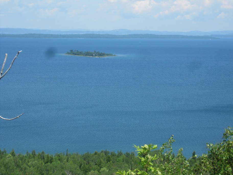
There were also some fantastic real estate opportunities to be had, you might be able to negotiate moving this beauty to your perfect location as a part of a deal.

The weather was perfect and the miles were passing easily. However, highway 6 is still a pretty major route in this area, resulting in a pretty straightforward ride. The only dirt that I found was 4 sections, each about 10 meters long, where road crews were ripping things up.

Just north of Little Current, I crossed the swing bridge that connects Manitoulin to Goat Island and the north (the only land access to the island). It is a single lane job, so you have to queue to wait for oncoming traffic to pass. In the daytime of the summer months, it opens for the first fifteen minutes of the hour for boat traffic.

I knew I was approaching Espanola well before I came to the sign for the town. When I was a boy, my parents subjected the family to a trip from Newcastle, ON to Victoria, BC by car. And then back again. On that trip, Espanola was the first time I had encountered a pulp and paper town. It is a smell you don’t forget. I soon came to the source of the aroma.

Just to the north of the town, I said goodbye to highway 6. The Old Webbwood Road was an alternate route to highway 17 and it was the first taste of dirt road on the trip.

It was a fun little road while it lasted, which wasn’t long. I was soon into the village of Webbwood and onto highway 17. Map Source gave me an interesting route to get west from here, heading north of 17 onto some secondary roads and such. In the week leading up to the trip, some careful cross-checking with Google maps made me skeptical. If any brave soul has tried this route, I’d be interested to hear how it turned out.
I took the safe route and headed west on 17 into Massey. I saw a Tourist Information centre sign on an old building in town. It wasn’t overly late, but I thought I would stop in and ask about camping in the area. The Tourist Information sign was actually the bait to get customers to the town museum. What the hell … for 3 bucks, I got a lone guided tour of the place. I found out that mining and lumber were historically the main industry for the town. Wow, all that for 3 bucks. They also had genuine buffalo skin and beaver skin coats on display. Well, when I see beaver on display, I just have to take a photo.
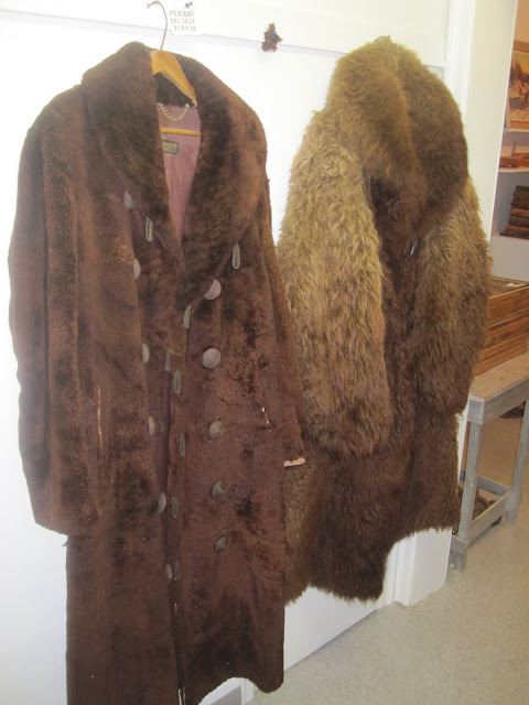
I also found out that The Chutes provincial park was less than a kilometer up the street. Since the plan was only to get to Wawa the next day, and starting the TCAT section on Thursday, I was happy to call it a day. I had lots of time to get the tent set up and take a hike to see a variety of rapids.


I walked back into town to have dinner at a restaurant call the Dragonfly (at the recommendation of the park clerk). The jerk chicken tasted OK but it seemed like it was made in a factory and slopped out of a bucket into a pan to heat it up. I love rice, but I am somewhat spoiled by my wife’s culture and their way of making rice into a meal. Sorry to report that the rice didn’t quite make the cut for me.
After dinner, I made my way back to the tent to lie down for a few minutes to aid digestion. Next thing I know it was Wednesday.
Part Two
I guess it was about 8 o’clock when I finally summoned the courage to get up. After a quick scan of the campsite, I felt at ease that the mosquitoes had not stolen anything. By the time I got things packed up and I was ready to go, it was just before 9.
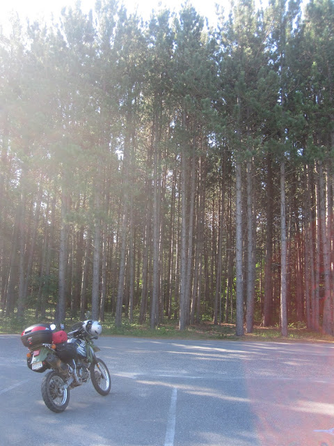
Heading westward along highway 17, there is some impressive scenery. Here is a shot of the North Channel taken from the side of the road.
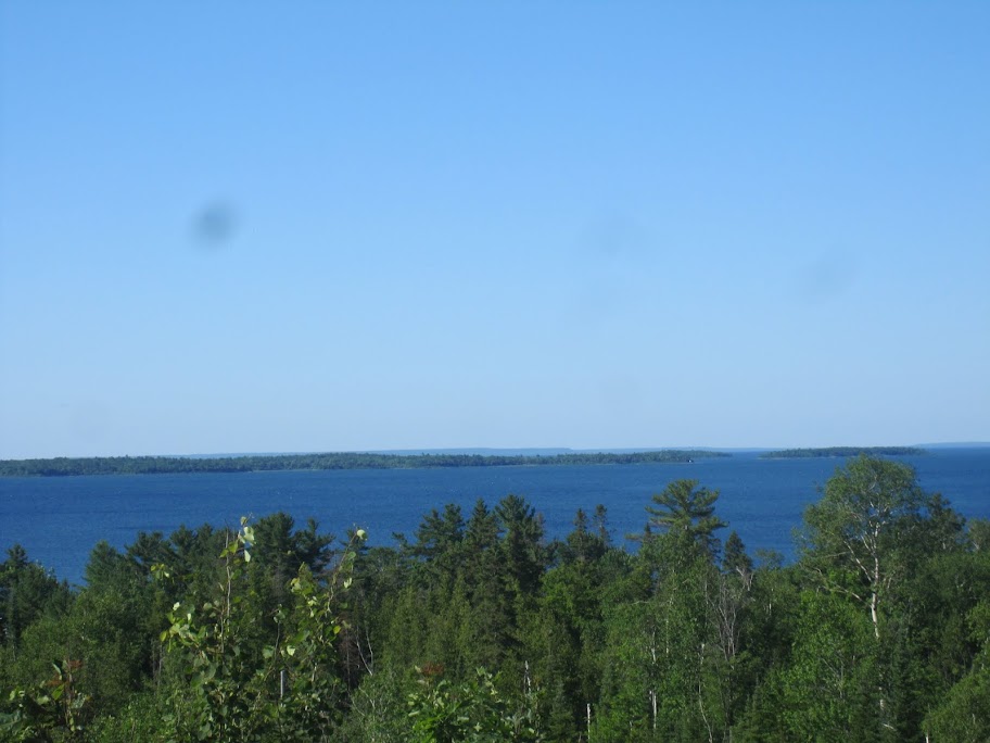
Being the kind of guy that starts thinking about breakfast as I am heading to bed, the first order of business was food. Spanish was smaller than I expected and nothing caught my eye. By the time I got to Blind River, things were getting desperate. The best I could find here was the local legion. I thought it warranted a picture since my name was all over it.
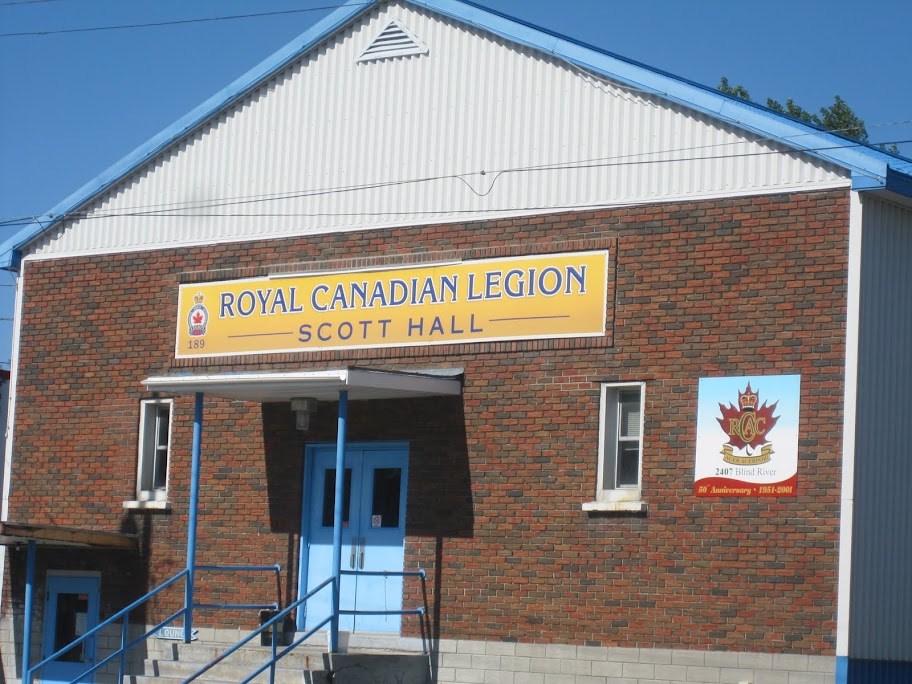
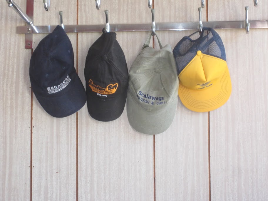
Since I didn’t think that they would be serving before 10 AM and knowing that if I went in it might put an end to forward progress for the day, I kept on heading westward. Soon my route would take me north, from Iron Bridge. I knew if I couldn’t find anywhere to eat on highway 17, this would be my last chance for breakfast. The Three Aces Canadian and Chinese Cuisine would have to fit the bill. A typical diner with typical eggs, sausage, toast and home fries - funny, I don’t recall ordering the half size though. Either this place has some pretty steady regulars or a lot of forgetful people - more hats than customers. I took the following shot because the Brascan cap caught my eye. I used to work for a subsidiary of this beast, now called Brookfield, which has many power dams in Northern Ontario and Quebec - I passed quite a few on this trip.
After leaving the tip at the Three Aces and topping up the tank, it was north on 546 out of Iron Bridge, then connecting to 129 via a side road. 129 was a real beauty, albeit I was still on asphalt. Twists, turns, hills, lakes and scenery.

About 65 km of this ride brought me to the turn for 556. The sign indicated that the fun would be continued.

About the first 500 meters were paved; then 81.5 kilometers of this:

I’m flying along the road, when out of nowhere an ATV cuts from the bush, right in front of me - I think he was more surprised than I was.
When the dirt took me back to pavement, I was treated to lots of this:
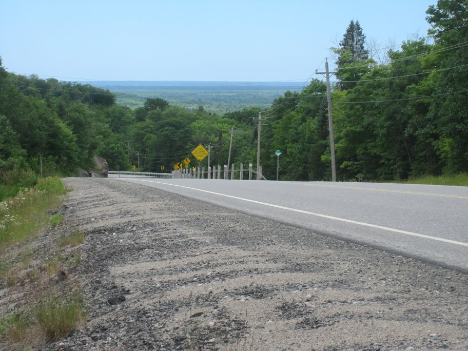
Shortly after I got back to highway 17, I stopped for lunch at Lori’s Breakfast and Burgers. The parking lot looked out onto Lake Superior - I’m guessing its a cold place to be in the winter. A nice ham and split pea soup with a club sandwich went down well and soon I was back on the road, heading north again.
This whole stretch of highway 17 is pretty amazing scenery-wise.
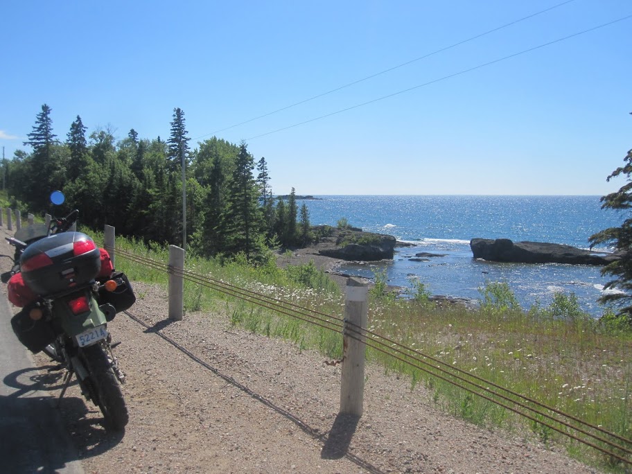
I’ve often seen the “watch for falling rocks” signs on the side of the road, but I thought they were just put there as a bit of a make-work project for the highway department. Well, I guess sometimes the rocks do fall. There was a bit of a wait while the guys with the bobcats cleaned things up.

Then, back to the scenic views. I thought that I was going to wear out the brakes from stopping for so many photos. I’d just get the bike up to speed (yeah, I know what you’re saying: “it’s a KLR, that must take a while”) and I’d see a better shot to take.
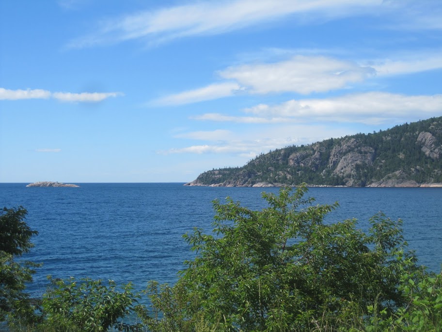


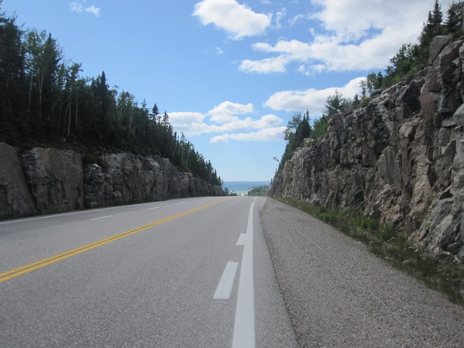
A large section of this road passes through Lake Superior Provincial Park and I’ve always wanted to do some camping there. The original plan was to camp at the Rabbit Blanket Lake campground in this park. As I made my way, I debated whether to stay with this plan or find somewhere closer to Wawa. A few factors swayed my decision. Firstly, provincial parks are generally densely populated with trees (i.e. lots of mosquitoes). Secondly, it was still a bit of a ride into Wawa for dinner and then back. Thirdly, I wouldn’t be doing a lot of “exploring” in the park anyway. I opted to head to Wawa and find the closest place to camp.
By this time, I had been riding for 2 days - plenty of time to think of the upcoming TCAT section of the trip. Not knowing what was in store, the anticipation was building. Deadly had described the route as gravel roads, but that still left a lot of room for interpretation. I spotted the turn-off from highway 17 that I would take in the morning to begin the TCAT route. An exciting moment to say the least. Soon after, I spotted the Wawa goose.
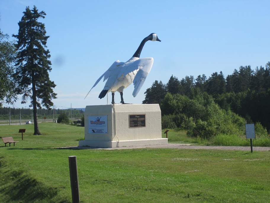
Beside the goose was the tourist information office. I stopped in to inquire about camping. It took under a minute to learn that the closest campground, the Wawa R.V. Resort & Campground, was a few kilometers further west on highway 17. Check-in was quick and Peter gave me a pretty decent rate for the night. Setting up the tent didn’t take long and soon I was riding back into Wawa for dinner, which ended up being Gyros and Greek salad at the North of 17 restaurant. Later, I took a quick tour around town to check things out. Wawa seemed to be a decent size for a northern community and had a nice looking waterfront.
I headed back to the campground and made it an early night. I was looking forward to the coming day and I wanted to get a good night’s sleep.
Part Three
The sleeping bag that I took on the trip was an 80 Argentinian peso job that I picked up in Puerto Madryn. It wasn’t supposed to make the trip back to Canada, but somehow it is still in my possession. Since it compresses the smallest of all the sleeping bags that I own (and since the trip was in July, not worrying about cold temps), it is the one that made the cut. My feet were cold at times during the first night at The Chutes and being further north, I opted for using the space blanket in Wawa. (If anyone has any data on whether these things actually work or not, please let me know.) Even with the space blanket, I had to get up in the middle of the night to put on another layer. That seemed to help and it allowed me to sleep until 8 o’clock. Unfortunately, I was hoping to get up at 7 so that I could have an early start to the TCAT. To compound the slip to the schedule, there had been so much dew it seemed that it had rained overnight, as you can see below:

I had to drag the fly and tent into the sun and let it sit for quite a while to get it dry enough to pack - later still.
I had a bit of a conversation with the campground owner, Peter, about the TCAT. I told him that I would be riding from Wawa to Timmins on dirt roads. He indicated that he once owned a re-forestation company and that he was unaware of any roads that would lead through to Timmins. Interesting.
I didn’t get to breakfast until 9:30, which was again at the North of 17 restaurant. Call me predicatable, but you just can’t beat eggs, suasage, homefries and toast for breakfast - I even have a routine way of eating it.
Since I didn’t know when I would see a gas station again, I made sure to top up the tank before leaving town. I headed south on Hwy 17 for a bit and before long I was at the turn for the TCAT. Keep in mind that I am travelling from west to east, which is opposite from the actual direction of the TCAT. Don’t worry however, I made sure I took all of the pictures looking backward so that you’ll recognize the places when you get there.
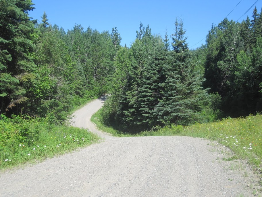
Ah, the thrill of a nice gravel road.
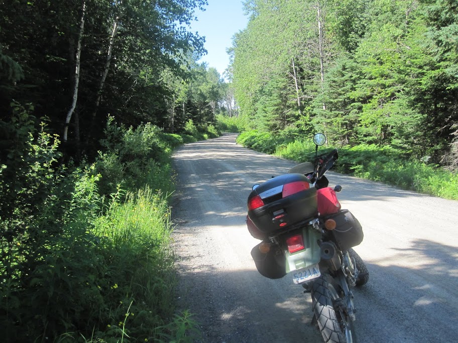
Soon the surface loosened and a tell-tale pile of dirt down the middle of the road let me know that I would soon be seeing a grader. After a couple of bends in the road it was over the dirt pile, around the grader and onward to more hills and turns.
About 14 km in from Hwy 17, the route crossed a power generation dam.
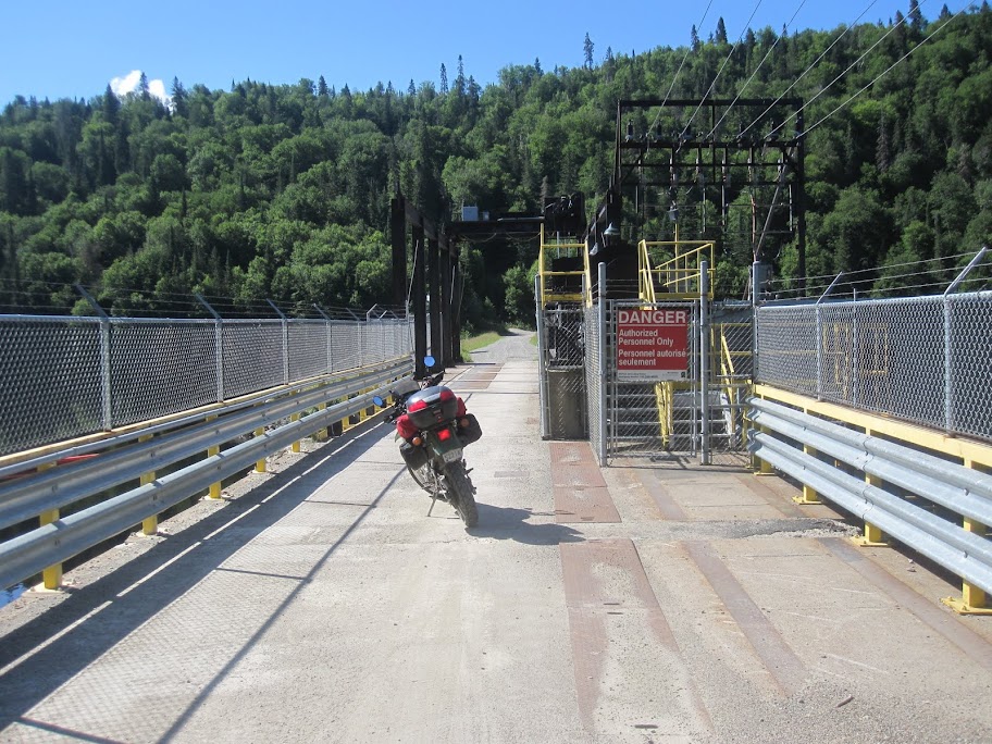
On the other side of the dam, the route turned from gravel road to trail.

The route followed some 2 track trails that led to a power corridor. The trail was generally quite “doable”. One section required a climb that had been fairly washed out, leaving erosion ruts and several loose large rocks to navigate. In some areas it was wider and a lot of fun.
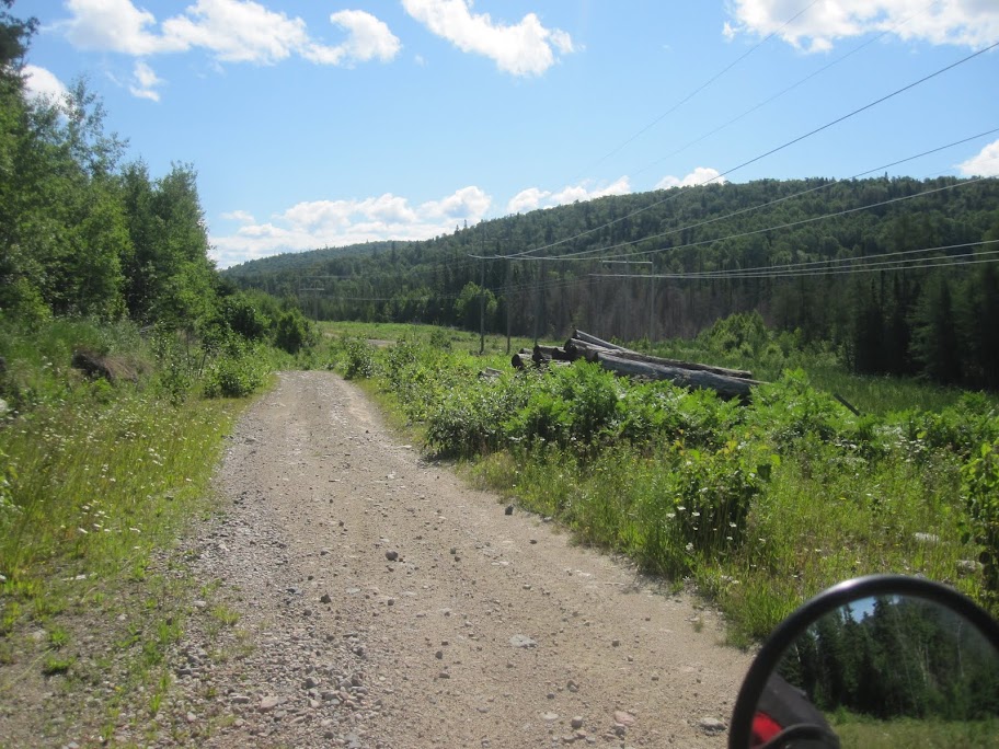

Of course, there were all of the features that you would want in a good trail such as beaver dams (fortunately on the right side of the trail) ...


… and water crossings.
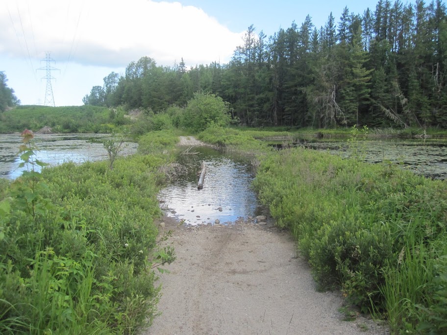
If you look carefully below, you can see the water crossing here went along the edge of the water and was bounded by an incline. It looked pretty ominous but I made it through without difficulty (remember, the knobbies had been taken off).
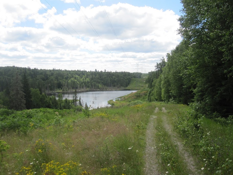
The two track went on for miles and miles.
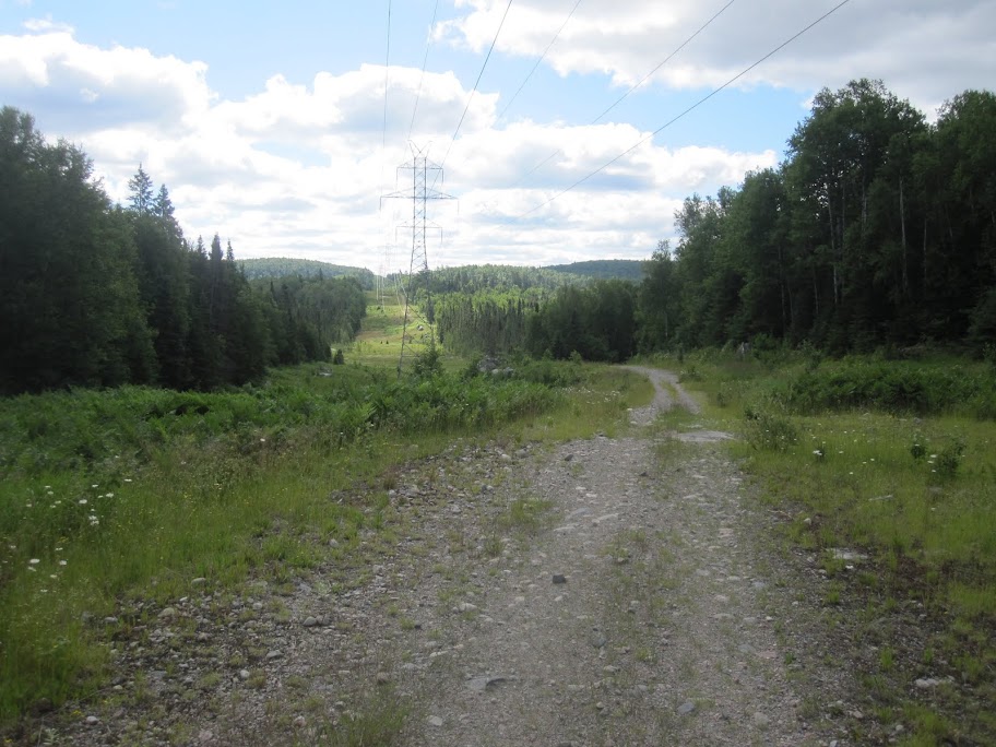
In fact, I thought it was going to be a long day to get to Timmins travelling on 2 track. I figured that I must be approaching the end of the trail when I saw this:
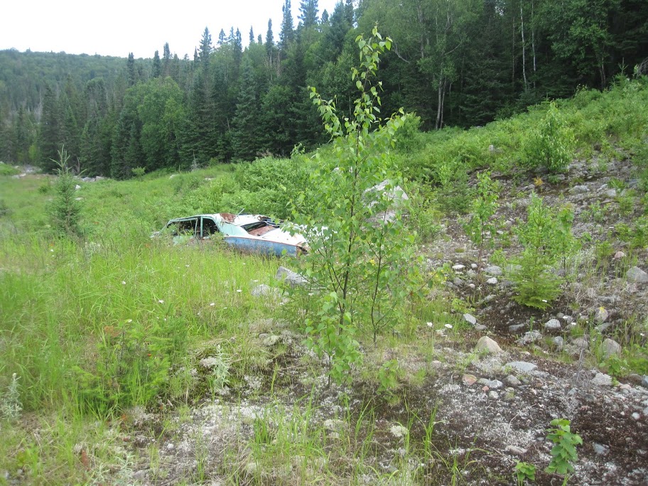
I’m not sure how these types of things happen, other than some guy trying to unsuccessfully prove the route is “doable”.
More beaver dams.

The trail finally brought me out to a transformer station and a road that crossed an adjacent railroad track. The route followed decent gravel roads for about 100 km, which allowed for some fast riding, albeit the location was still very remote.
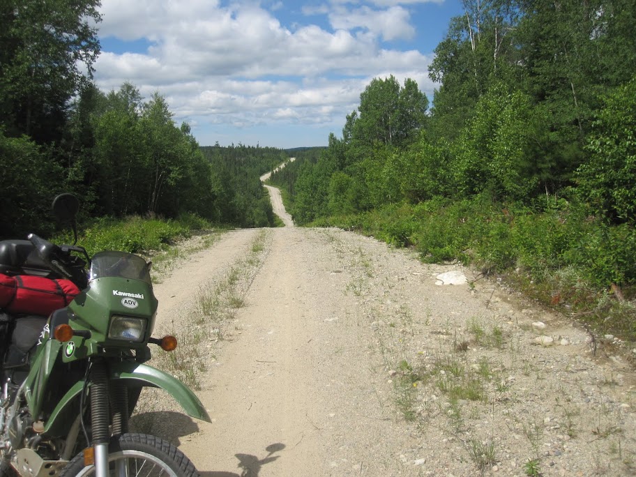
Soon I came to an abandoned snow plow. As far as I know, this is the middle of exactly nowhere. Who would leave a snowplow at this location is incomprehensible to me.
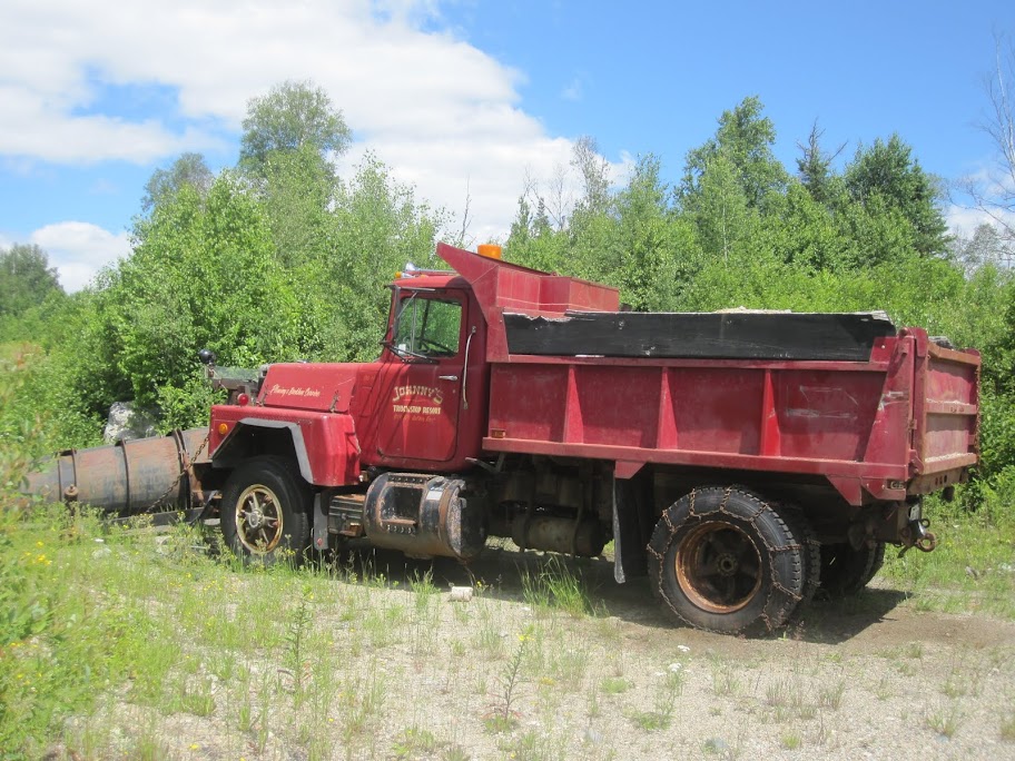
Almost immediately around the corner from the snowplow was this sign, which would seem to confirm the remoteness of the location.
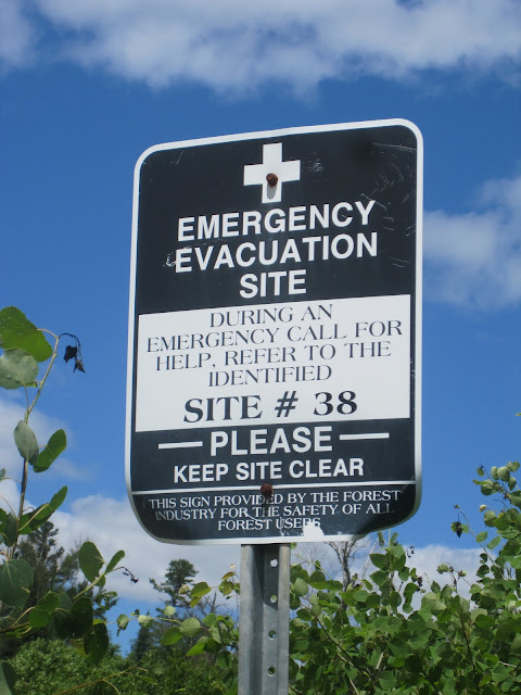
All I could think was that the guy got the snowplow that far and finally had to radio for an air-vac!?
I actually thought that I would be getting to Hwy 101 soon after this point, which would have been roughly the first third of the way to Timmins. However, instead of the highway, the route took me onto more 2 track.

I was thinking, “good lord, when am I going to get back to the highway?”. The 2 track went on and on. Eventually, it gradually turned into a single lane dirt road ...
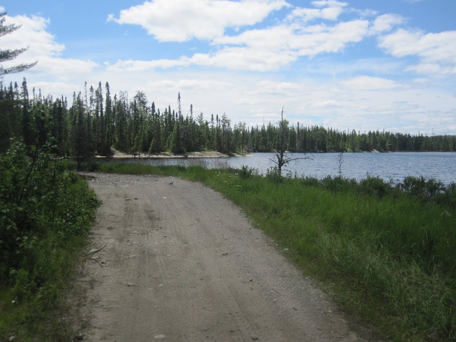
… and gradually got wider and became a 2 laned logging road. The truck traffic on the road had really ripped it up, leaving tracks where the tires had been and loose gravel elsewhere, making for very unstable riding. To make matters worse, I soon came to a cloud of dust so thick that I couldn’t see more than 10 m in front of me at times. It was like riding blind and the messed up conditions of the road made sure I stayed on my toes. For me, it wasn’t fun riding. I kept thinking that I was getting close to the source of the dust (I wasn’t sure if it was a grader or a logging truck), but the dust made it impossible to see whatever it was, let alone to pass. If I had a brain, I would have pulled off, rested and had some lunch while I waited for things to settle down. Unfortunately, I guess I don’t and I white knuckled it for about the last 15 km until I got to the highway, where I caught up to the culprits - two logging trucks.
By this time, I was exhausted and hungry. It was about 11 km south of Chapleau, so I headed into town to have lunch (at 3:40 in the afternoon). The “morning” took about 4 hours and 45 minutes (moving time) and I had covered approximately 235 km.
Part Four
Of the options that were available in Chapleau, I chose Gus’ Restaurant. Gus was sitting on the front porch when I arrived. The joint is run by Gus and his wife, or so it seemed, even though they were both very old. I’m not sure how they managed the place.
I was so hungry that I had a hard time deciding what to order. I felt like saying “just bring whatever is easiest”, since it seemed like an effort for the old couple. I think it ended up being a sandwich and salad.
I wasn’t only hungry, I was also tired; however, getting some food into me helped. As I ate, I struggled through some philosophical moments. I knew that I couldn’t make it to Timmins by evening if I continued on the route - I had only covered approximately a third of the distance. I was torn. I felt like I’d be a schmuck if I didn’t complete the route, but I also didn’t want to get too behind schedule and arrive late to meet my family at Christian Island. Compounding matters, I wasn’t sure if I’d have the same pace on the piece between Timmins and Sudbury. If only I had a road book that would give me more information so that I could decide.:
After finishing up lunch, I found that paying was just as difficult as ordering. Gus wranggled with the debit machine for a while until I finally told him that I’d just pay cash. (I used debit or credit as much as possible to conserve my cash for emergency situations.) After the bill was payed, I hopped back on the bike and headed out of town. Of course, I filled the tank since in these remote parts you’re not sure when you’ll see another service station. This was the most expensive gas I bought on the trip at a buck and a half a litre. (By the way there is gas on the 101 approximately at N48 13.156 W82 18.747. There is also a small town called Foleyet just off of Hwy 101 that _likely_ has gas. The TCAT uses Hwy 101 for a short section and it will take you by these points.)
As I headed south back to the TCAT, I got to the point where Hwy 101 headed off to my left. I stopped. I considered my situation. All the thoughts from lunch needed to be consolidated - now. In a moment of weakness, I took the easy route. It was a tough decision and if I knew then what I know now, I probably would have gone back to the TCAT. Sorry. I guess I have some unfinished business.
I paid for my sins though. Highway 101 was pretty boring after the amazing route of the morning. I was forced to endure the shame of the decision in my head for a couple of hours.
As I mentioned, the TCAT works its way back to Hwy 101 after the second third of the route between Wawa and Timmins. It follows the highway for about 30 km and then heads onto the less beaten path for the last 100km into the Timmins area. It was about 6 PM when I arrived at the turn for this section of the route. Dusk wasn’t arriving until about 9 PM, which would give me about 3 hours for the section. I decided that I would give it a try and judge things as I went.
The sign posted just after the turn indicated that there were active logging operations on the road. The road was in pretty good shape and was pretty easy to ride on. I did encounter 2 logging trucks on this part of the route (at different times though).
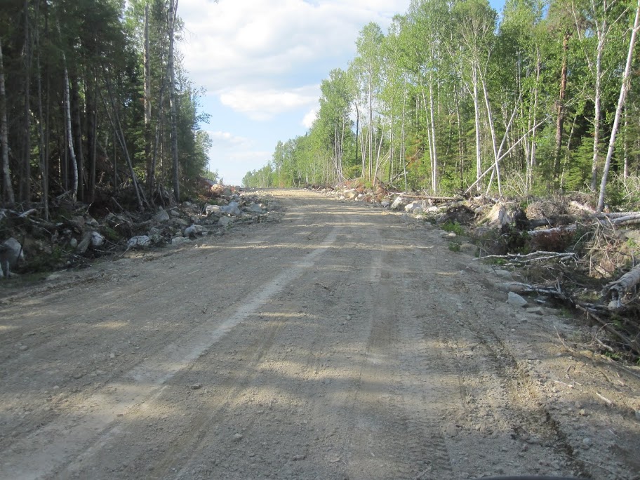
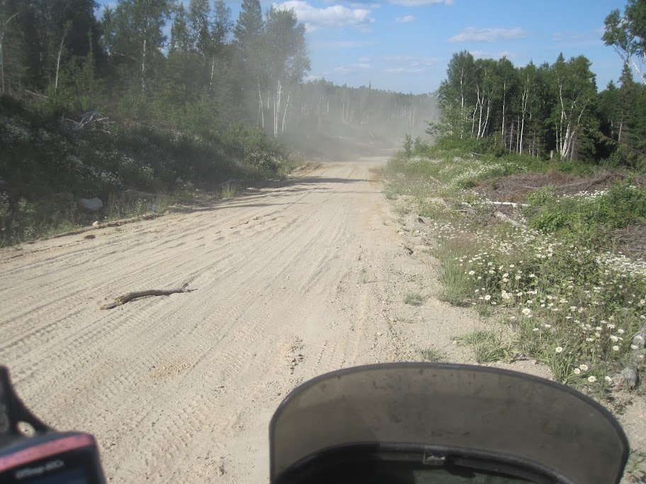
At times, there were large stretches of deep sand.
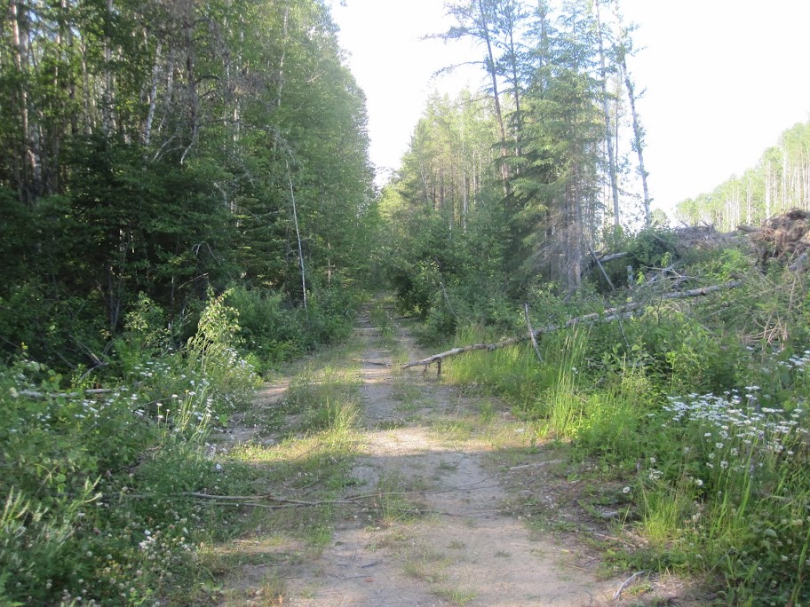
This continued for about 20 km, when I realized that although I had stayed on the road, my track was off of the route. I zoomed the display and sure enough, I had missed a turn somewhere. I turned around and headed back about a kilometer to the point where the paths diverged. The way I should have taken looked like this.
At this point it was about 6:30 and I decided that I had better cut the fun short. I didn’t feel quite as bad about this decision since it was quite late in the day. In addition, I was on my own and had less than ideal tires on the bike. I’m a firm believer in riding on my own terms - ending up in a mud hole or de-watering the bike at dusk (or worse) isn’t my cup of tea. There is adventure riding and then there is adversity riding. I prefer the former.
So, back through the sand and back onto Hwy 101 for the tail-between-my-legs ride into Timmins. They make sure you know Shania Twain is from there with the number of signs they post.
After a long day, I decided to forego the tent and I checked into the Days Inn. Fortunately, this was the location of the only injury on the trip. I banged my ankle against the bed frame, tearing off a chunk of skin and then the blood started oozing. After patching it up, I headed off to an Indian restaurant that I had passed in town. I was very much looking forward to some butter chicken, naan and basmati rice. Alas, it was not to be - it was 9:00 and the place closed at 8:00. Down the street to a Sushi joint. Nope - closing up too. I had to settle for a Montreal Smoked Meat sandwich and a Cherry smoothie at Christopher’s Coffee House. Now that wouldn’t have been so bad, except there was a local kid trashing some 90s music live and all of his friends had filled the place, taking all of the tables.
Oh yeah, the elevator at the hotel was broken and I had to carry all my stuff up the stairs to my room on the top floor. The morning of this day was absolutely great riding. The afternoon was without a doubt the low-light of the trip. I should have camped half way between Wawa and Timmins and taken the extra day to do the whole route. Of course, hindsight is 20/20. And I’m still waiting for the road book.
Part Six
Friday morning brought a new day and I had put my disappointment with skipping a section of the TCAT behind me. I was really looking forward to a great day of riding.
Time seemed to be working better for me this morning. The alarm clock helped me to rise on time. The hotel included a continental breakfast, which also made things quicker. By the time I had packed everything up, carried it down the stairs and loaded it on the bike, I was ready to leave by 9:00. I filled up the tank across from the hotel and soon I was heading south from Timmins.
Around the edge of town, the asphalt turned to a wide gravel road. There were distinct tracks, with piles of loose gravel in between. Some places had a washboard surface. I met many vehicles coming into town for the first while.
Before long, the road narrowed and the tracks became less pronounced. As the picture shows, there were some nice hills and twists in the road.

Along the edge of the road in places were large sandy areas similar to the sand that I had seen on the logging road the day before. I kept thinking “Where did all this sand come from? Isn’t the the centre of the Canadian Shield?”

There was plenty of nice scenery along the way.

There is an old section of road that the track follows for a short time.

In this section of older road is the entrance to a trail. I saw a couple of ATV riders coming out along this stretch. This is what the branch for the old road looks like from the south end - what a person doing the TCAT in the proper direction would see.

Again the road narrowed. It was a great ride. Twisty. Just a beauty of a road. This road ended with a stop sign at a T intersection. The route took a right onto a wide road with a firm dirt base. This soon became paved but there was still a lot of excitement to be had.

The highway passes through a very small community and not long after I said goodbye to the pavement and made a left onto a logging road. Although it too was somewhat torn up, it was easier to ride than what I had seen the day before. Again I met a couple of logging trucks.


The route only followed the road that was actively being used by the logging trucks for a short time. It then made a turn onto a gravel road that was a bit wider than single lane. Again, another beauty of a road.
It was along here that I saw the only non-avian widelife of the entire trip. About a kilometer ahead of me was a moose, standing on the road. When she heard me approaching, she headed off into the wood. Almost immediately, a calf scampered along behind her. When I got to where I thought I saw them, they were gone.
Soon thereafter, a situation arose that had me scratching my helmet a bit. Since I had lost the track the day before when following the main road, I was determined to stay on track. However, the main road headed off to the left but the track kept going. I soon came to the infamous cat pushup.

I followed the track, going past the pushup. The trail brought me back to the main road and across it was another hill of dirt blocking the way. It finally occurred to me that they were widening/straightening/improving the road - likely planning for some logging in the area. I followed the new road (which was roughly the same as the old road). Every now and then you would see a short section of the old road branch off and come back a 100 meters or so later. Even though it was “new road” it was still about one lane wide and super fun to ride.

This gave way to what I gathered was more of a snowmobile trail, given the width became narrower than a typical car route and the OFSC route signs. It was still a good condition gravel base; however there were some areas where erosion had eaten into it.

It was hard for me not to give the bike more throttle than I should have. The ups, downs and turns just begged for going a little faster. Spectacular was the word that kept going through my head and I had a grin from ear to ear. And it went on and on for many, many miles.
As the snowmobile trail widened into more of a road, it followed along the edge of a river. In this part, the elevation changes were minimized but the turns and other related thrills were still going full tilt.

I was ripping along the road, probably going too fast, when all of a sudden I hammered through the biggest “whoop” I have ever seen. I think the road had been washed away at one point and this was a make-shift fix. I was able to scrub a little speed before, but I still hit it moving pretty fast. Fortunately, all turned out well.
This single lane road slowly got wider and wider and I began to meet more traffic. Finally the dirt spilled out onto asphalt, which lead into Hanmer (a suburb of Sudbury). It was around lunch time and I was ahead of schedule.
I realized that it was time to change the oil in the bike, so I looked up the closest crappy tire in the GPS. After a short trip, I picked up a couple litres of the Castrol 10W-40 4 stroke motorcycle oil that I usually use (if anyone has comments on whether this is decent oil, please let me know). I had passed a Shell station on the way to the store - the old kind with a garage instead of a convenience store. I rode over and asked the mechanic, Gary, if I could change the oil there. He agreed and even gave me a 14mm socket so I wouldn’t have to dig one out of my tool kit. As a thanks for the help and for taking my old oil, I gladly offered Gary some beer money and headed over to the pumps to fill up. I asked the guy at the pumps where to find some decent food, thinking he would point me to somewhere local. He asked me in which direction was I going. I replied North Bay. He told me to look for a place called “Truck Stop”. He admitted that it didn’t look like much, but the food was terrific.
I followed the suggested GPS route down to Hwy 17 and then eastward toward Sturgeon Falls. I had almost forgotten about the restaurant suggestion, when there it was: “Truck Stop”. Actually, the sign just says truck stop. The actual name of the place is Kathy’s Kountry Kitchen. I got the pickerel dinner special. It did not disappoint.

I was surprised by Sturgeon Falls. I had imagined that it would be quaint and pristine. Alternatively, it was bigger and more like a city. I was following a Harley with Quebec plates out of town when I felt a stinging under my left arm. I pulled to the shoulder as the Harley advanced away. After taking off my gloves and helmet, I unzipped my jacket and lifted my shirt to investigate. As I did, a bee came out and flew away.
More uneventful riding led me to North Bay, well beyond where I thought I would make it for the day. I ended up camping at a Motel with a trailer park in their back yard. $37 bucks was a little steep by my standards, but it was in town, across the road from the beach and really near to the beer store. I first checked out the beach.

Then I picked up some suds to accompany the boil in the bag lasagna that I had been carting all around hell’s half acre. I thought “I’ll be damned if I don’t eat this stuff after having to pack it each day”. It actually wasn’t too bad.
To summarize, this was a completely awesome day of riding!
Chilcotin Region, British Columbia
Ross went and rode his proposed section of the TCAT through the Chilcotins in BC, here is his pics and write up
Ross went and rode his proposed section of the TCAT through the Chilcotins in BC, here is his pics and write up
Back from pre-riding the route through the Chilcotin. The weather was fantastic with temperatures of low 20's in the day and 3 to 5 at night.
This area has always been my favorite of all the places I have explored in BC over the years.

I'll start here at Bull Canyon Provincial Park Campground. The Chilko River running right by our campsite made for a very pleasant first night.

Heading in to the Chilcotin. The road we wanted to ride is still closed because of a washout so we went in on this one.

Anticipation was building as we went in.

Looking back. The views are spectacular in both directions.

The West Chilcotin has thousands of kms of unspoiled country like this....

and this.
Part Two Coming Up
Part Two
Part Two --Pictures From The Chilcotin TCAT Pre-Ride
Heading towards Tsuniah Lake


Looking east along the lake

Looking west along the lake. It is so beautiful along here, we stopped for about a half hour, sat on that rock and just looked out at this view.

At the end of the lake

The road into Ts'yl-Os Provincial Park.

Found a great spot for a lunch stop in the park along Chilko Lake

The view from the beach where we had lunch.
Part Three Soon...
Part Three
Part Three --Pictures From The Chilcotin TCAT Pre-Ride
Heading in to Nu Chugh Beniz Camp Site on Chilko Lake.


View from the camp site. Chilko Lake is the largest high elevation freshwater lake in the world. Famous for it's large Bull and Rainbow Trout.

Looking south along the lake. Duff Island (on the right) is closed so the eagles can nest without interference from people.

Looking north.
If you can spare an extra day, this is the place to linger.
Part Four coming....
Part Four
Part Four --Pictures From The Chilcotin TCAT Pre-Ride
Heading out
A stop at Konni Lake is a must.


Going east


Vedan Lake. Great place to stop for tea.


I hope that anyone who goes into this valley heeds the words on this sign.
Next week, Chris heads out to ride across his proposed route in the province of Manitoba.
Jenna heads out to test ride in western Ontario.
Gord heads out next week to ride a missing chunk of the route in central Ontario.
Mike is heading out in Sept to ride the NewFoundland section and Labrador.
I'm still held up with bruised ribs from my crash but have plans to leave Sept 12th for a couple of weeks to ride across New Brunswick and Quebec (Including the Gaspe which I am quite excited by).
The TCAT was featured with an article in the magazine ADVMOTO last month and is set to be the feature article in Adventure Rider Magazine in September (for anyone who enjoys reading paper).
All in all its been a busy summer, the route is really starting to take shape and is looking good if I may say so.
Our new website will be live this fall with information about overland travelling in Canada and a few shorter routes. All route files will be downloadable at no cost :smiley_drive:
Thanks for watching, all for now.
Ted
Rocket Ship
Banned
Fuel range may be an issue :ylsmoke:
Yep. You can try with 2.8 gallons, but pack your hiking boots. :coffeedrink:
ben2go
Adventurer
Fuel range may be an issue :ylsmoke:
What kind of range should I be getting.I got plans if I sell my GS.
ben2go
Adventurer
Yep. You can try with 2.8 gallons, but pack your hiking boots. :coffeedrink:
I was thinking I would have closer to 5gal US when I'm done.
I get tooo fur ahead me self.I haint even got the bike yet,but I can plan.
400 kilomters between gas stops is what we are trying to make the maximum for the TCAT route.
My bike doesnt go that far so I carry a Dromedary bag with a Nalgene cap on it. It holds 10 liters of fuel and packs up small when not in use. A bit of PITA to get the gas into the bike but it beats having to carry a big red can on the back. An aux fuel tank is on my wish list though
My bike doesnt go that far so I carry a Dromedary bag with a Nalgene cap on it. It holds 10 liters of fuel and packs up small when not in use. A bit of PITA to get the gas into the bike but it beats having to carry a big red can on the back. An aux fuel tank is on my wish list though
Similar threads
- Replies
- 0
- Views
- 885
- Replies
- 3
- Views
- 1K
- Replies
- 8
- Views
- 990
- Replies
- 0
- Views
- 218
