Exploring 5-Mile Pass

ttora4runner

Expedition Leader
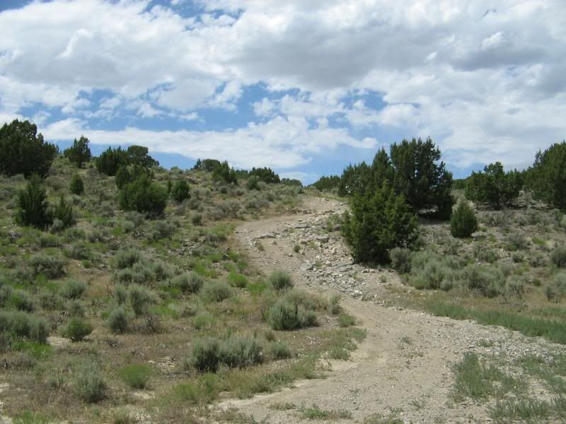
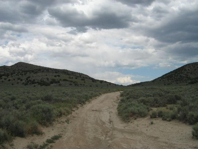
Well do to a hang-up with my move into my new apartment and with the cancellation of work last night I needed something to do. Mountain biking was out since I’ll be getting my butt kicked at work night moving concrete for testing purposes. So the next opinion was to hit up 5-Mile Pass. The plan was to try and find the back way to Jacob City and Ophir from the main recreation area but not being too familiar with the trails further back into the area I only went a portion of the way (plus I came to old gate post and didn’t want to past that).
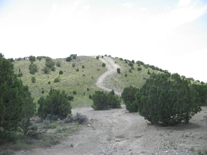
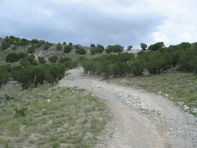
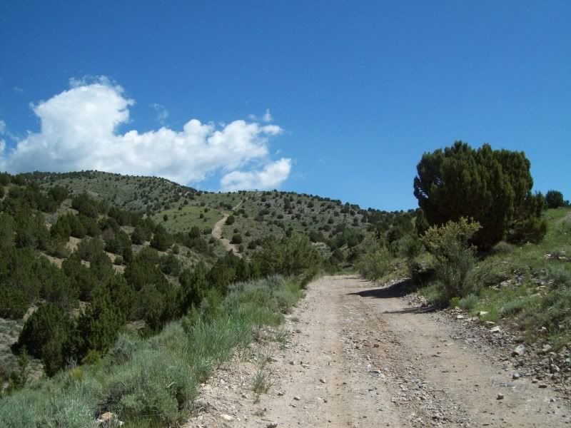
I would’ve ventured further back in but I came a across an old gate (post really) and didn’t want to risk trespassing where I should not have been (didn’t see any signs), so I turned around and head back out. I’ll have to wait to upload my GPS coordinate to see where I was at before venturing back to that portion of the trail system. So I ended up just exploring some other trail that turned into an ATV trail for a bit then back into a normal vehicle trail.

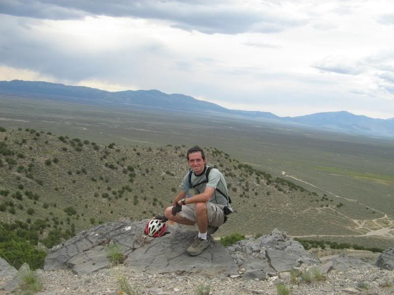
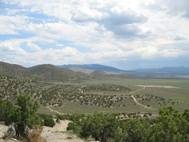
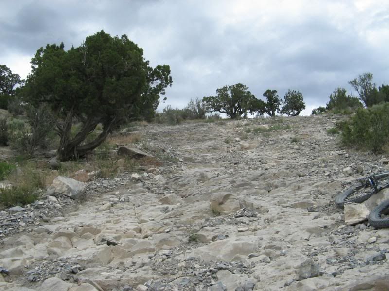
Highest elevation I reached per my GPS was around 7100 ft. I was almost double that last year in Ouray, Colorado.

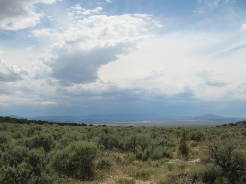
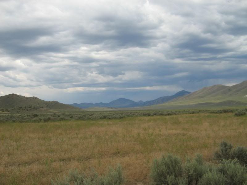
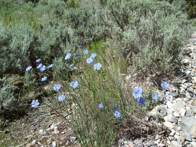
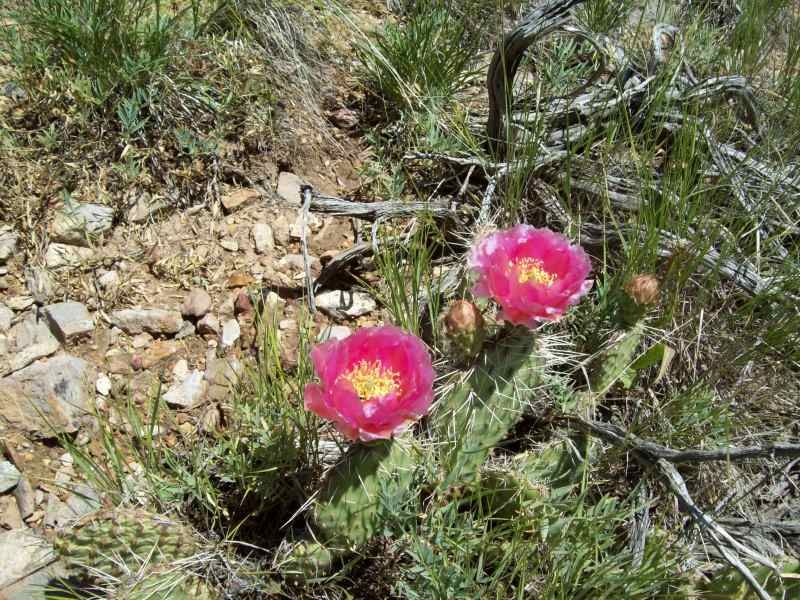
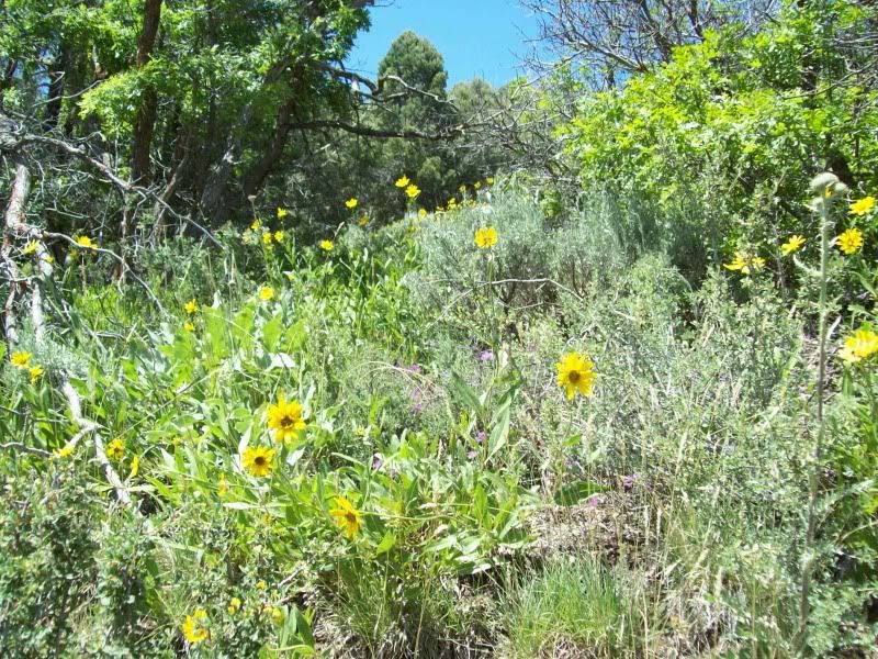
Overall, it was a good to get out for a bit to enjoy the scenery and smell of the Juniper trees. Now to I have to just clean the mud off.

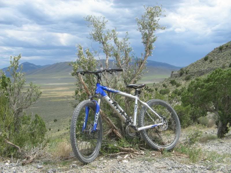
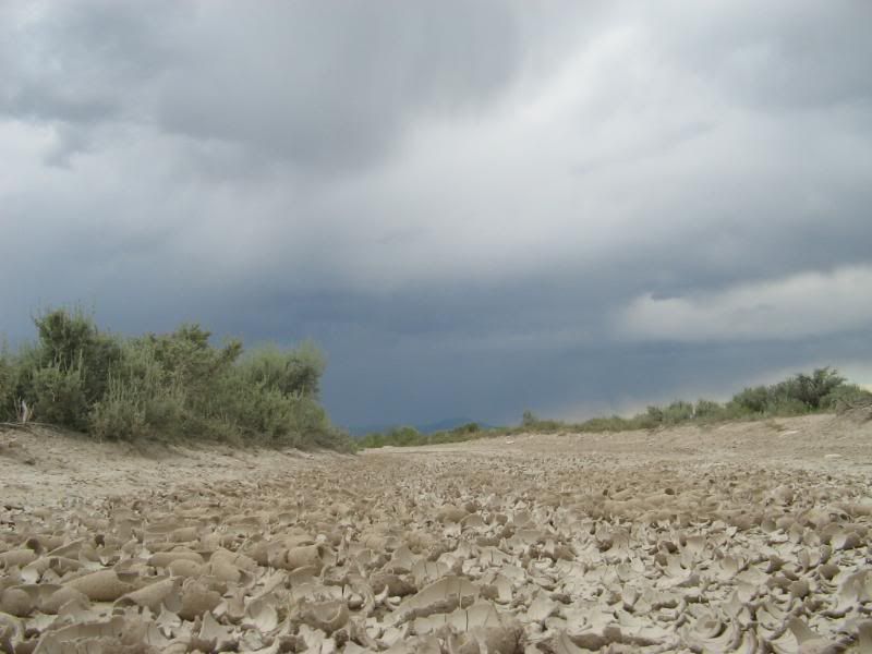
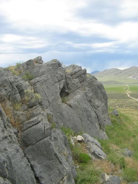
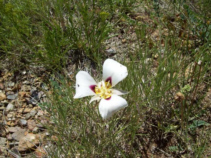
On to the photo’s, not many action photo’s since it was just me.

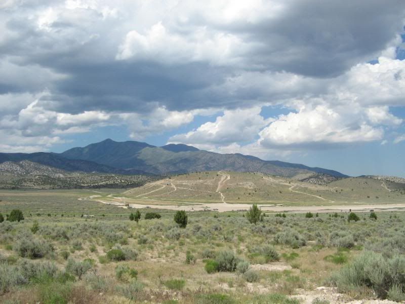
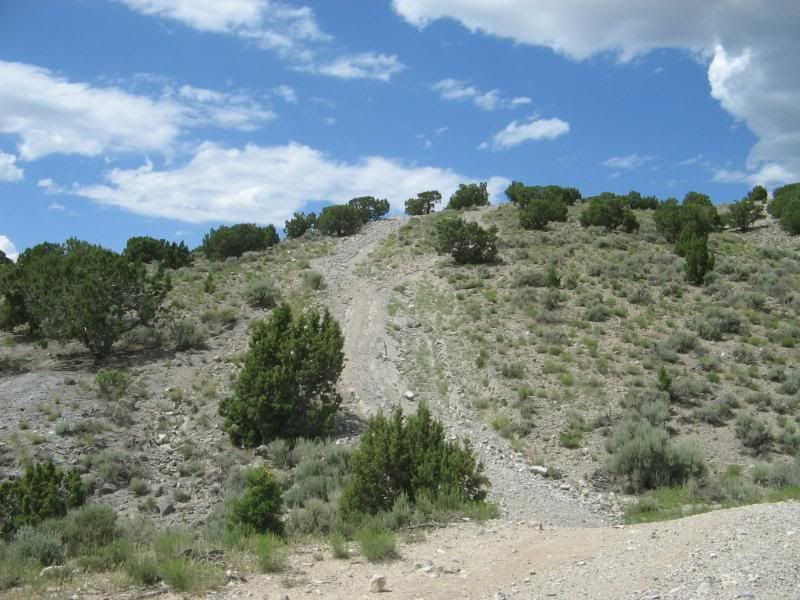
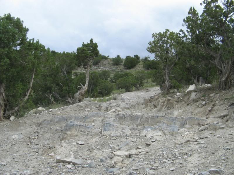
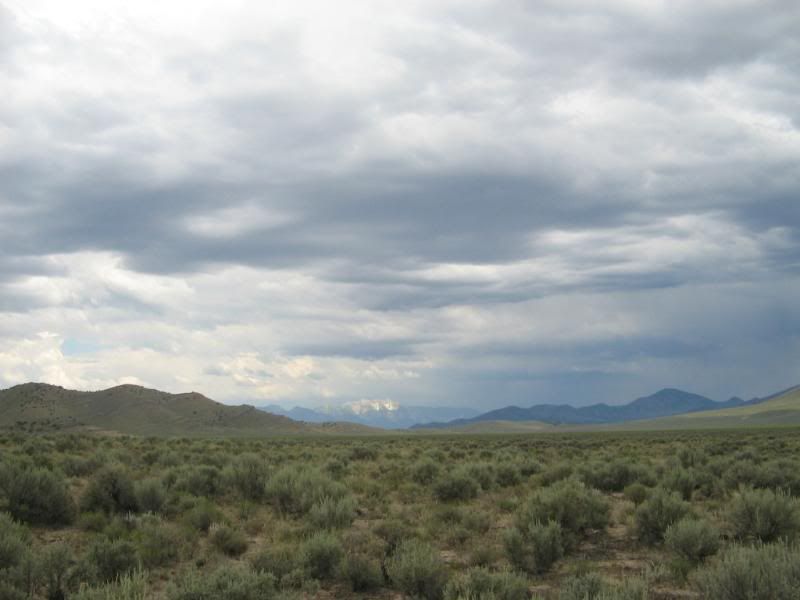
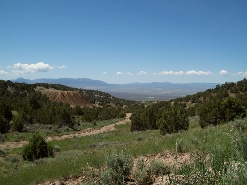
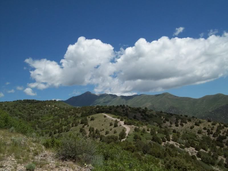
This was covered in snow last time I came here in December
100_2238.jpg

100_2240.jpg

100_2242.jpg

100_2243.jpg

100_2248.jpg

100_2251.jpg

100_2253.jpg

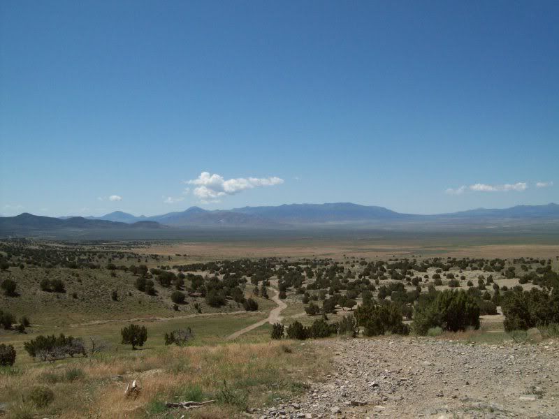
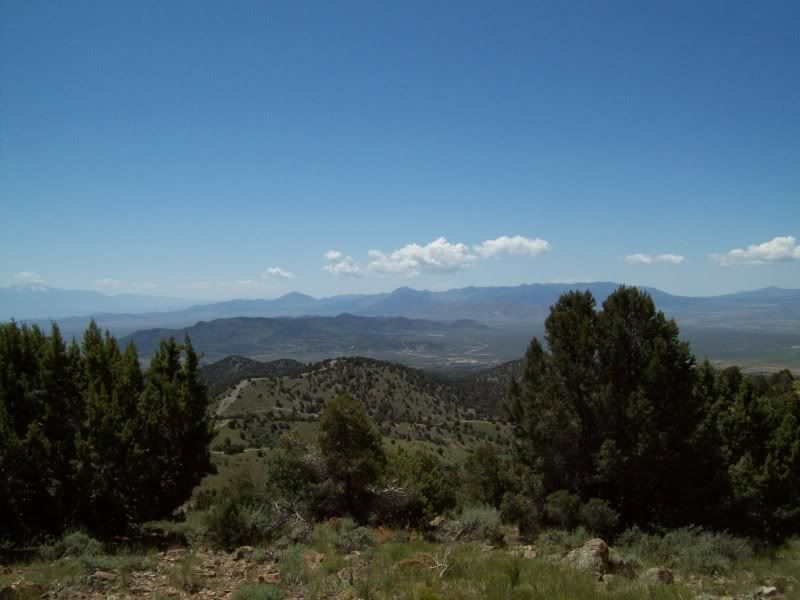
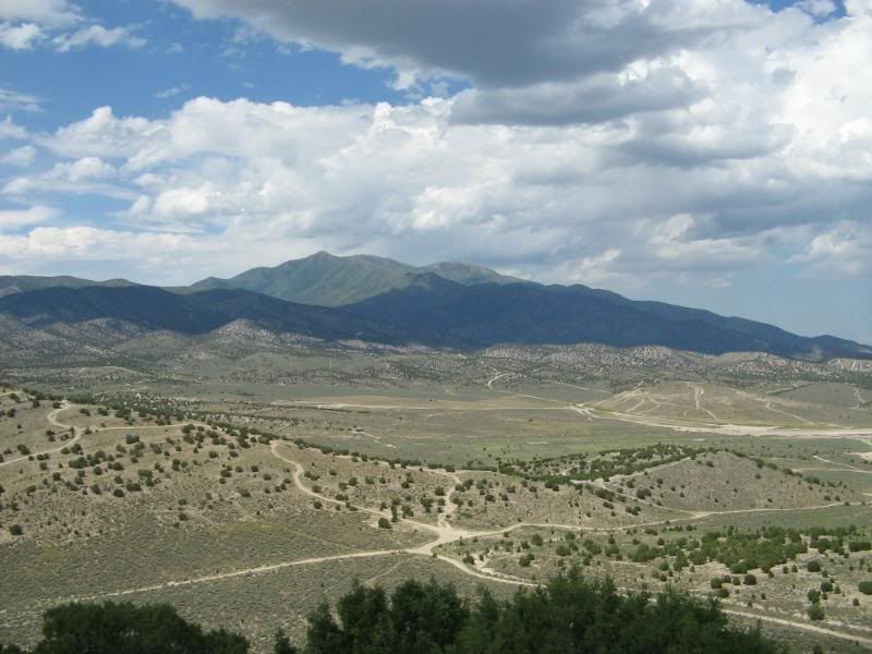
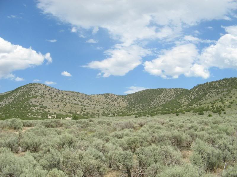
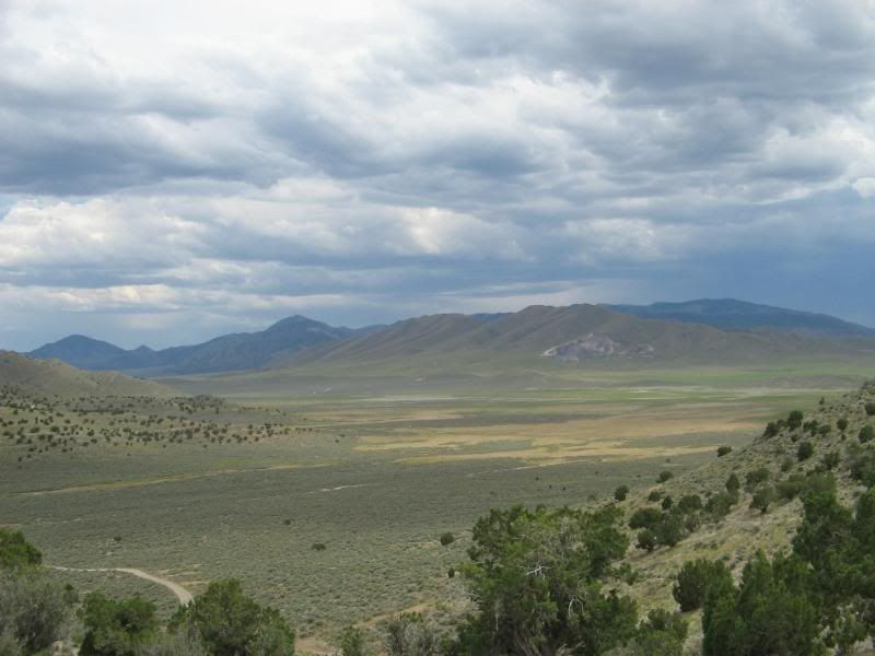
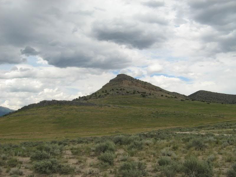
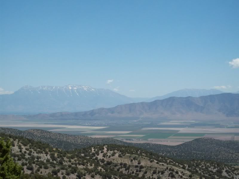
I want to try and find the road that will take me close to this peak. For some reason or another I want to hike to the top of it.
100_2258.jpg

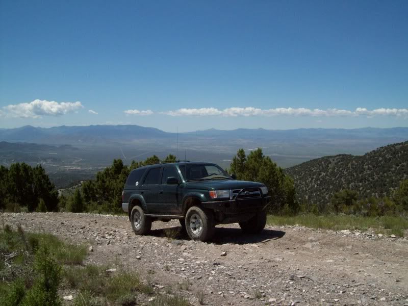
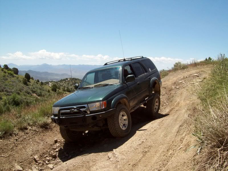
Shame-less plug of my 4runner (right around 7100’).
100_2260.jpg

100_2261.jpg
 

ttora4runner

Expedition Leader
Other shameless plugs of my 4runner
One close tire
100_2265.jpg

A little flexie, the tire is actually off the ground about 5”
100_2273.jpg

Eagle Mountain, Utah city center.
100_2277.jpg

100_2281.jpg

Don’t drop anything. These things scare the crap out of me to walk on but I keep doing it. Go figure.
100_2286.jpg


Hopefully, my next trip report will be somewhere up American Fork Canyon or along Skyline Drive in Bountiful, Utah.
 

Rot Box

Explorer
5MP is always a good time looks like you had a good time. Did you see the mine shaft with the Jeep in the bottom?! Pretty crazy :elkgrin:
 

Scott Brady

Founder
This looks like a nice area. Interesting to see the cactus in the mix

If you have a chance, post up the route map (track overlay)
 

ttora4runner

Expedition Leader
5MP is always a good time looks like you had a good time. Did you see the mine shaft with the Jeep in the bottom?! Pretty crazy :elkgrin:

Yep, I've seen that one many of times and it's where I got off on some atv tracks this time around exploring.

This looks like a nice area. Interesting to see the cactus in the mix

If you have a chance, post up the route map (track overlay)

I'll see what I can do all my computer stuff is in storage right now.
 

cruiseroutfit

Well-known member
I heart 5MPRA. The mine you visited is the Sunshine Mine. If you havn't head the story of the Willy's Jeep in the bottom of the shaft I would be happy to pass it along. Are you familiar with the Rattlesnake and Constrictor trails? You were running parrallel to them up Sunshine Canyon.
 

ttora4runner

Expedition Leader
I heart 5MPRA. The mine you visited is the Sunshine Mine. If you havn't head the story of the Willy's Jeep in the bottom of the shaft I would be happy to pass it along. Are you familiar with the Rattlesnake and Constrictor trails? You were running parrallel to them up Sunshine Canyon.

Yep I'm familair with both those trails though I've never run them and probable wouldn't by myself, judging from the photos and write-ups I've seen.

Nope, I really don't know/can't remember the story of the jeep in the ventaliation shaft.
 

cruiseroutfit

Well-known member
Cliff notes version.

Feb, 1995: A guy and his buddy were out driving around in a Willy's truck the owner had just finished fixing up. The crested the mine tailing's and drove right into the air shaft (thankfully just ~150' deep as the main mine not far away is closer to 2000 ft deep). They were stuck in the bottom of the shaft for 6-7 hours before a passer by happened to hear their screams for help and was able to lower a section of chain link fence and get them out. A few guys went down and salvaged some of the parts, leaving the main carcass and chassis there to succumb to the constant assault from rocks :D 
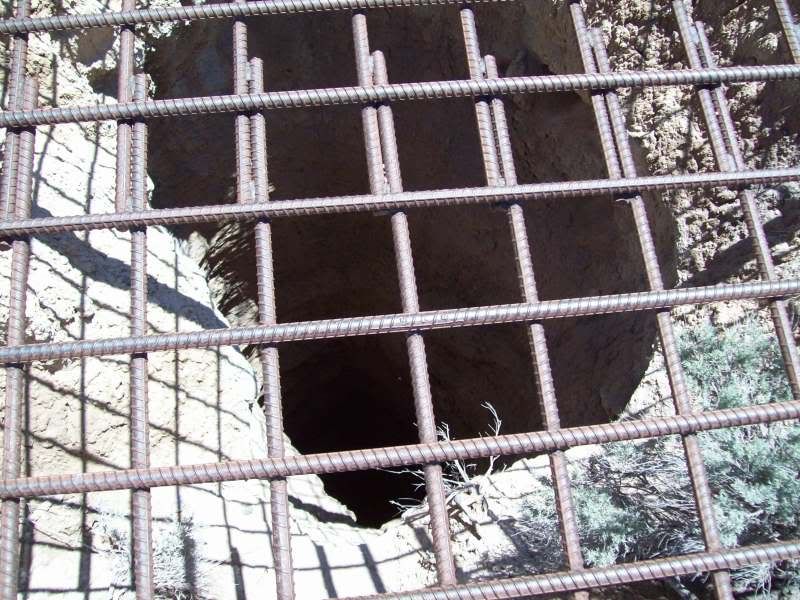
Thankfully nobody was hurt and it sure is humbling to look down a mine shaft and see a full truck :eek: These days it is getting harder and harder to see the truck, I'd suspect it will be 100% covered by rocks in just a couple more years.

dangoletruckinhole2.jpg
 

SRN

Adventurer
Its been a long time since I've hit up 5MP. With the Sami nearing completion, I'll need to head out there again.
Curt, where is that trail? I don't recognize it.
 

ttora4runner

Expedition Leader
The south side of 5-Mile Pass

I'm going to keep this thread update as I make my around this area either by bike or by vehicle. Anyone else is free to post up their trips though this area as well. :victory:

Well this afternoon instead of sleeping for my up and coming night-shift (I already worked about 4 hrs earlier in the day) I decided it would be a good time to head back out to 5-Mile Pass to explore the south-side of the area. Only, this time my vehicle stayed in the parking area and I headed out on my mountain bike. First, off I consider myself fit and out of shape by no means but this ride wore me out. I don’t know if it’s the result of being at sea level for the past 2 years in Yuma or the massive amounts of energy I’ve consumed over the last 2 and half weeks working nights but it pooped me out.
Anyhow I’ve explored a small amount of this side in the past but never really too much by vehicle and by bike as I’ve mainly stuck to the north-side of the area. No ATV’s or dirt bikes were heard or seen on the trail which made for a nice time. Compared to the north side you have more flowers, were this side was lacking in it but it offered some better views in my opinion of the areas towards the south. The area will require some vehicle travel the next go around for some play on the rocky portions of the trails, some of which my bike brakes didn’t like too well. On the way back out I was chased by a rain storm and meet by a nice dust storm when I returned to my vehicle.

Overall, it was a good time and I should be sleeping right now but figured I’d post this up anyways. On to the photos:

Figured I’d show my ugly mug first so you know who to throw tomatoes at
IMG_0137.jpg

The bike vehicle of choose a Trek 4300 that I bought back in 2003 and have put though hell (it’s put me though it)
IMG_0135.jpg


North side main parking area (my vehicle is to the lower right all by it’s lonesome)
IMG_0101.jpg

Side trail off the main route
IMG_0105.jpg

View looking back
IMG_0109.jpg

This next little hill climb wore me out. I only was able to ride it about ¼ of the way and ended up huffing my bike up the rest. I did this 2 other times.
IMG_0110.jpg

View from the top (I have other photos to stich together for a panoramic view but that will have to wait)
IMG_0112.jpg

Where I was heading too (the dome in the background)
IMG_0117.jpg

Coming back down
IMG_0118.jpg
 

ttora4runner

Expedition Leader
IMG_0120.jpg

These little fellow where circling above me at one time. Sorry, no free meal for them
IMG_0127.jpg

Going back up (again I had to walk). I’ll hit this little hill up next with my vehicle for some fun
IMG_0130.jpg
IMG_0132.jpg

Never knew this side existed
IMG_0136.jpg

IMG_0141.jpg

At this point in the game I thought of turning around and heading back home to get some sleep but said screw it and went exploring. Typical curciousity got a hold of me.
The road coming back down (again more vehicle fun, steep with a rock ledge about 10-12” drop)
IMG_0145.jpg

IMG_0146.jpg

IMG_0149.jpg

IMG_0155.jpg
 

Skylinerider

Adventurer
Its been a long time since I've hit up 5MP. With the Sami nearing completion, I'll need to head out there again.
Curt, where is that trail? I don't recognize it.

South side of the highway. Here's our route from that day.
 

Attachments

  • 5mp1a.jpg
    5mp1a.jpg
    151.9 KB · Views: 32
Last edited:

Forum statistics

Threads
189,123
Messages
2,913,193
Members
231,762
Latest member
RC_X_Overland
Top