I Leaked All Over Colorado's Face!

Lesspavedrds

Observer
Outstanding effort! Thanks for putting in the work. We all know it is more fun to trip than it is to trip report but Thousands of views mean that others enjoy the trip rather than just a hand full.
 
I'm bored for a few minutes, here is the start of our last day in Colorado. The rest, on the journey back home, is just fluff. And mostly boring.

Day 5: Colorado Springs to the Comanche Grasslands

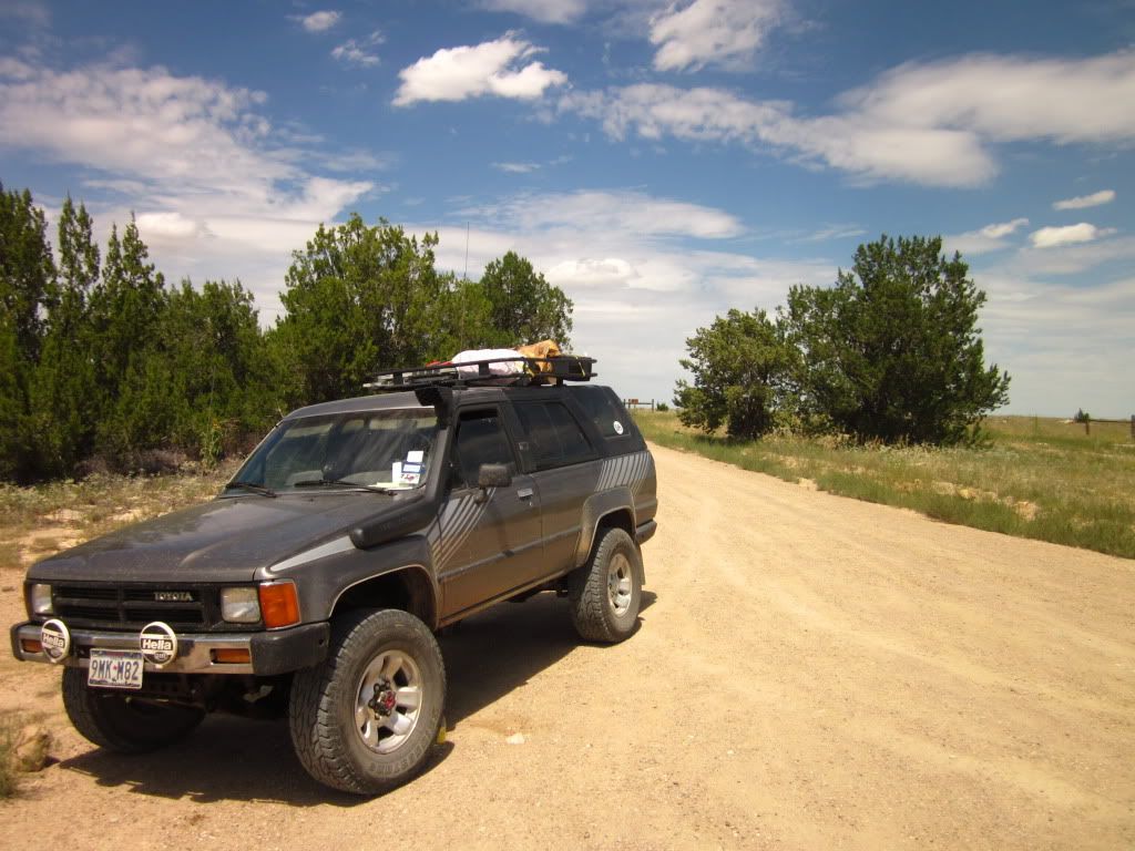
It was highly recommended by, the mostly former member, Colorado Ron to visit the Comanche Grasslands. Its the place to go and not see anyone. Boy was he right. I wish we had stayed longer to really enjoy the area, but approaching weather systems with the threat of tornadoes drove us closer toward home by the end of the day.

We broke camp this morning and headed south from our campsite at Norad Mountain. We then turned due east into the sun aiming for La Junta, CO. Along the way we noticed many farms and many produce stands. My wife really wanted to go to a farmers market while in Colorado, but we were never near a place to go. So, a stand would have to do. The stop at the produce stand also served as a place for me to contact Colorado Ron in order to get some info on the grasslands. Where to go, what to do. Little did I know, my phone carrier charged almost $2.00 minute for roaming fees!:Wow1: Thank goodness for bad reception and text messages!

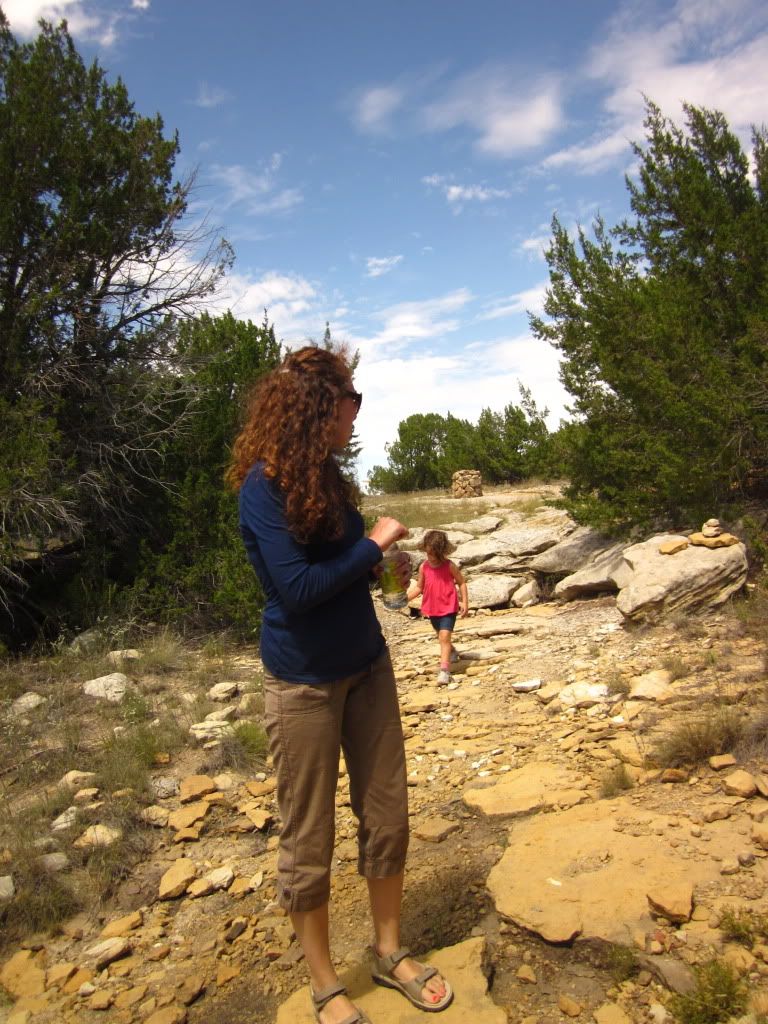
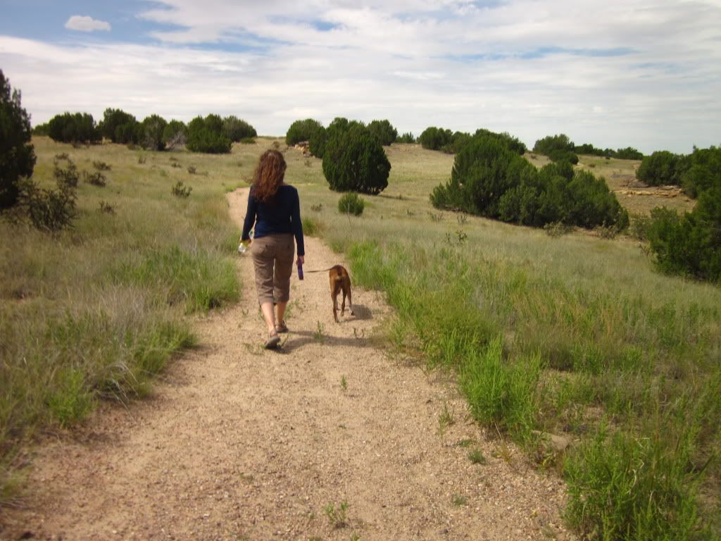
We stopped at the grocery store in La Junta and picked up more food, water, and other beverages and then headed over to the Park Rangers station. A whole wall of brochures filled the backseat of the truck and we had to decide, go for the dinosaur footprints- 10mile hike- or Native American carvings in the canyons of the grasslands- 3 mile hike. With kiddo aboard and being midday in the summer of Colorado's barren wasteland... we chose the shorter hike.

So, off we go!

IMG_1301.jpg

IMG_1303.jpg

IMG_1305.jpg

IMG_1306.jpg


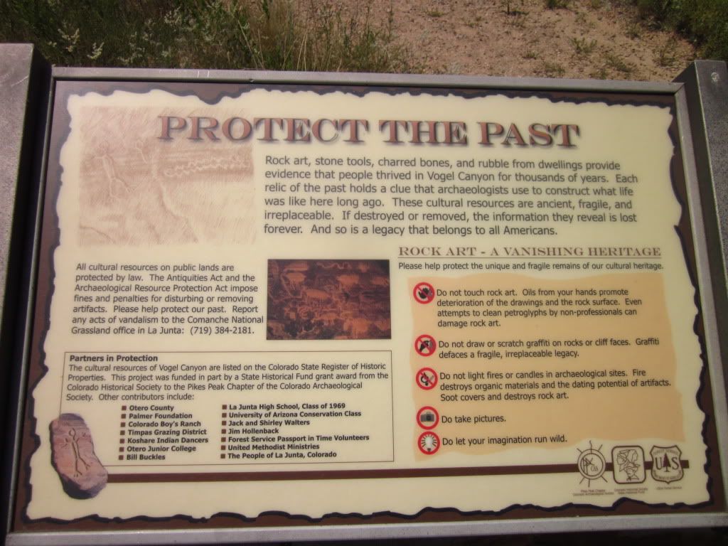
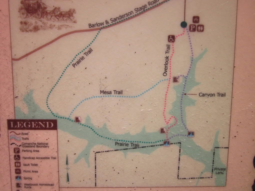
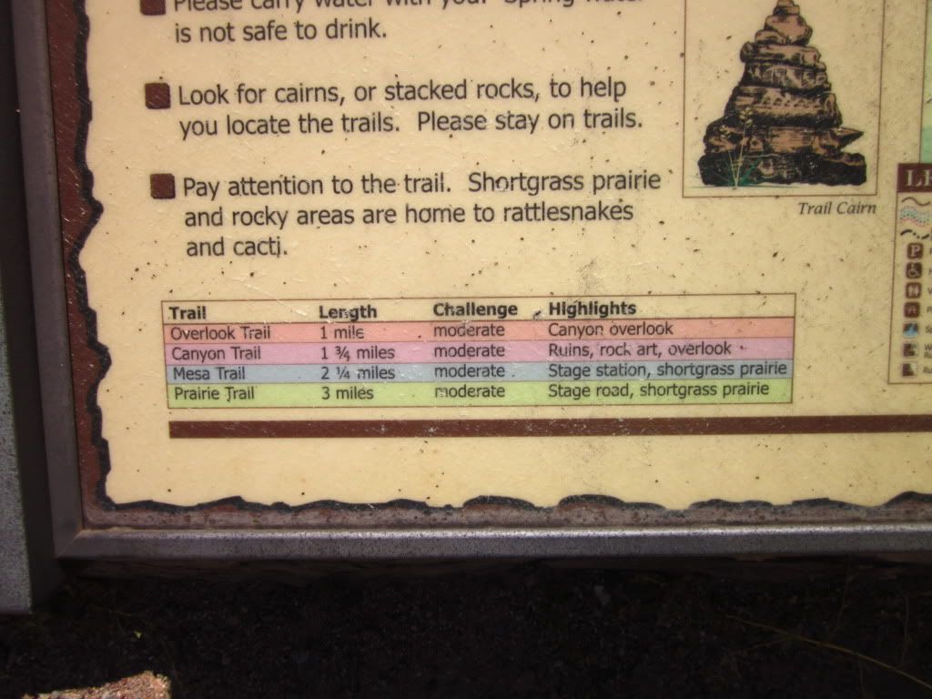
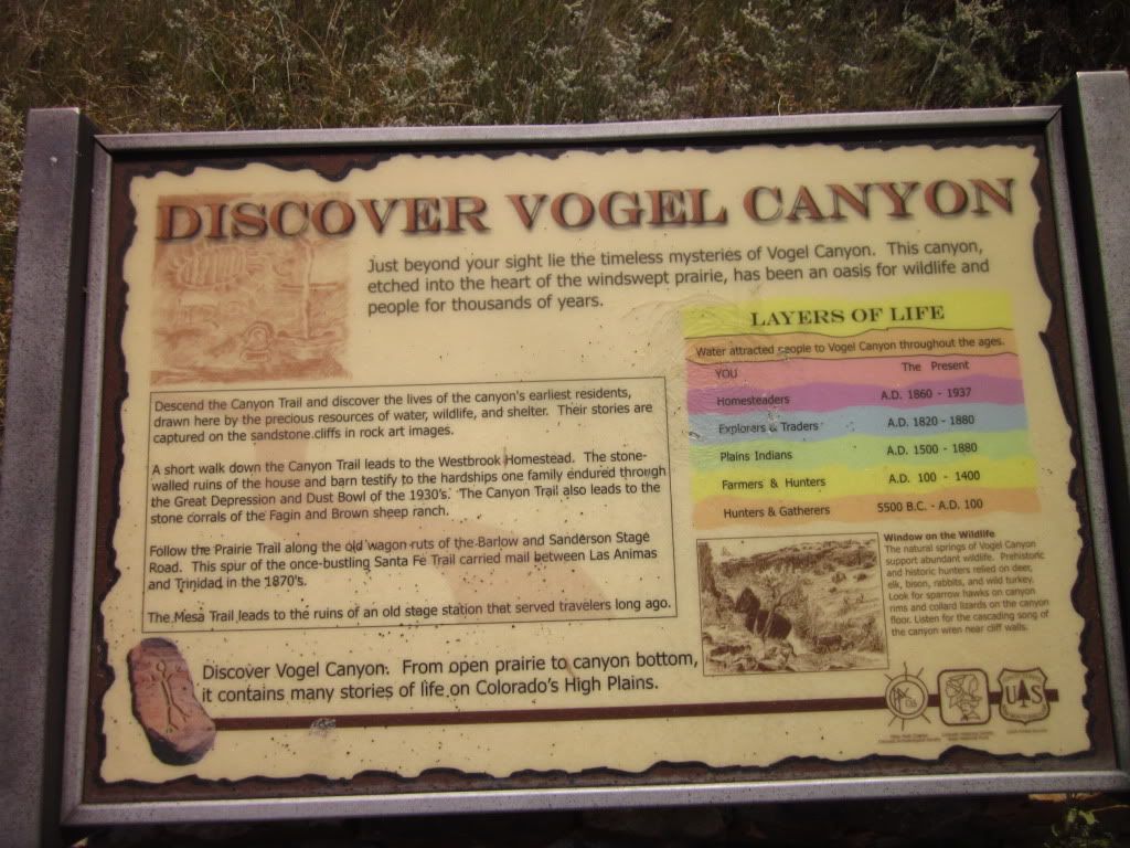
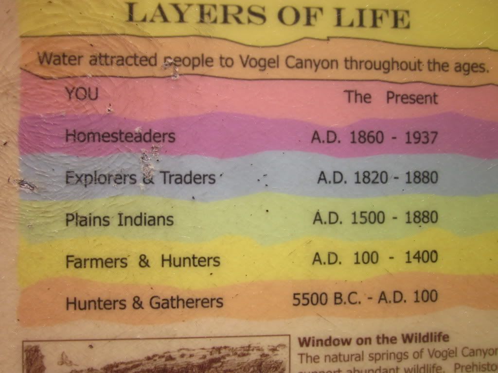
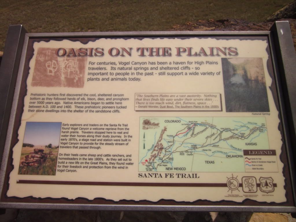
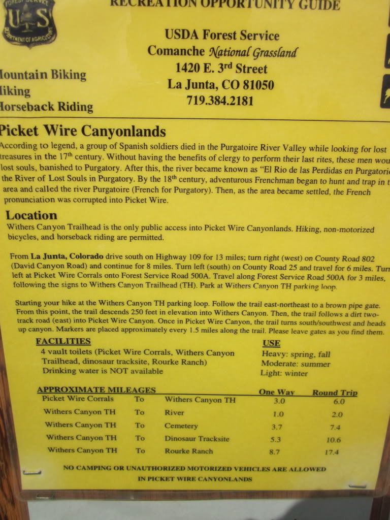
So that I do not have to explain things too much here, read for yourself!
IMG_1307.jpg

IMG_1308.jpg

IMG_1309.jpg

IMG_1310.jpg

IMG_1311.jpg


Oh, but we had lunch first, and then hit the trail.
IMG_1312.jpg

IMG_1313.jpg

IMG_1314.jpg

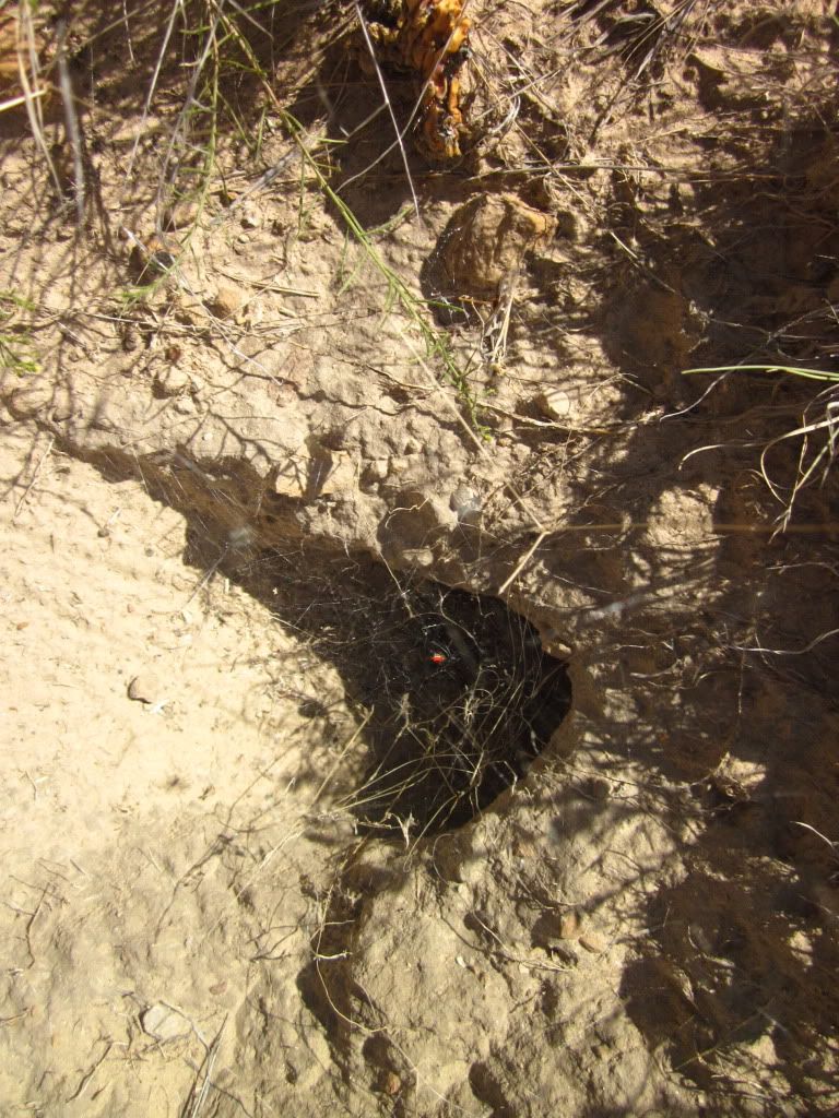
That little red dot in the center of the picture above is a black widow spider:elkgrin:.

IMG_1317.jpg

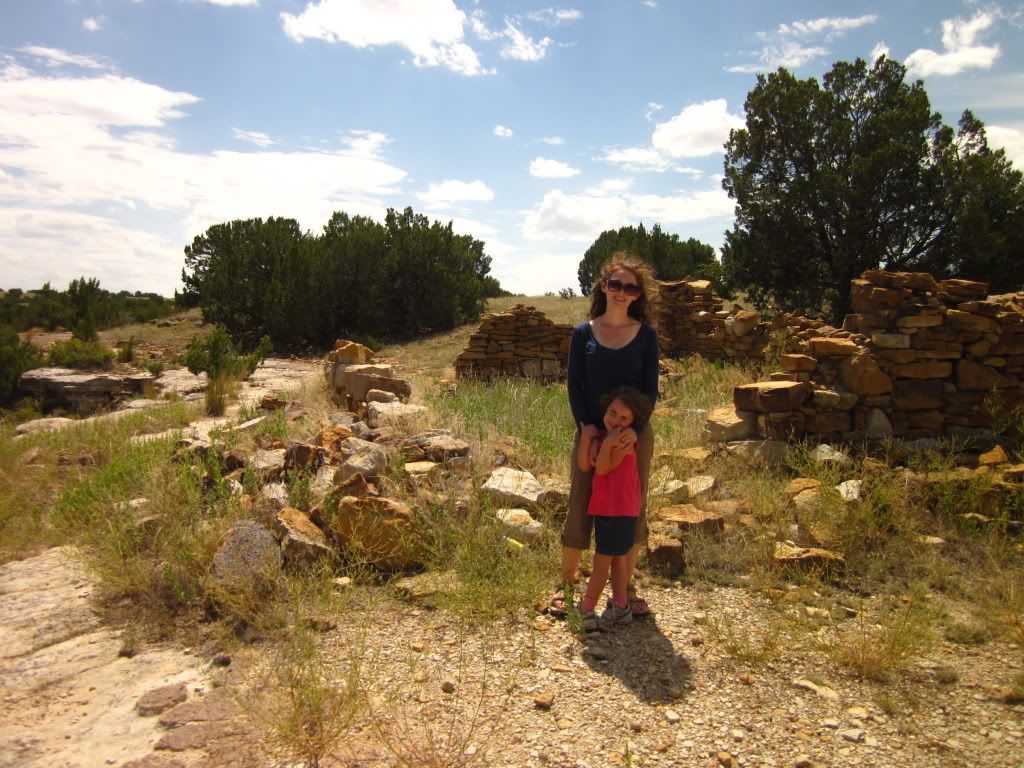
Homestead ruins in the canyon.

IMG_1318.jpg


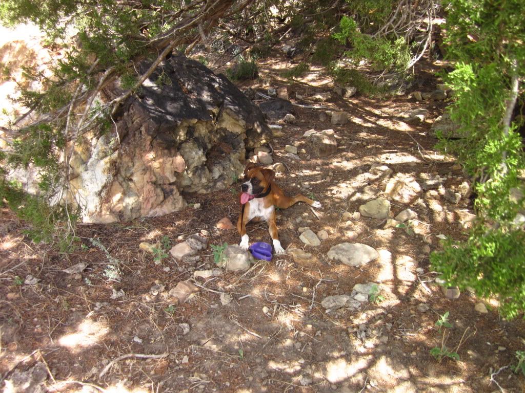
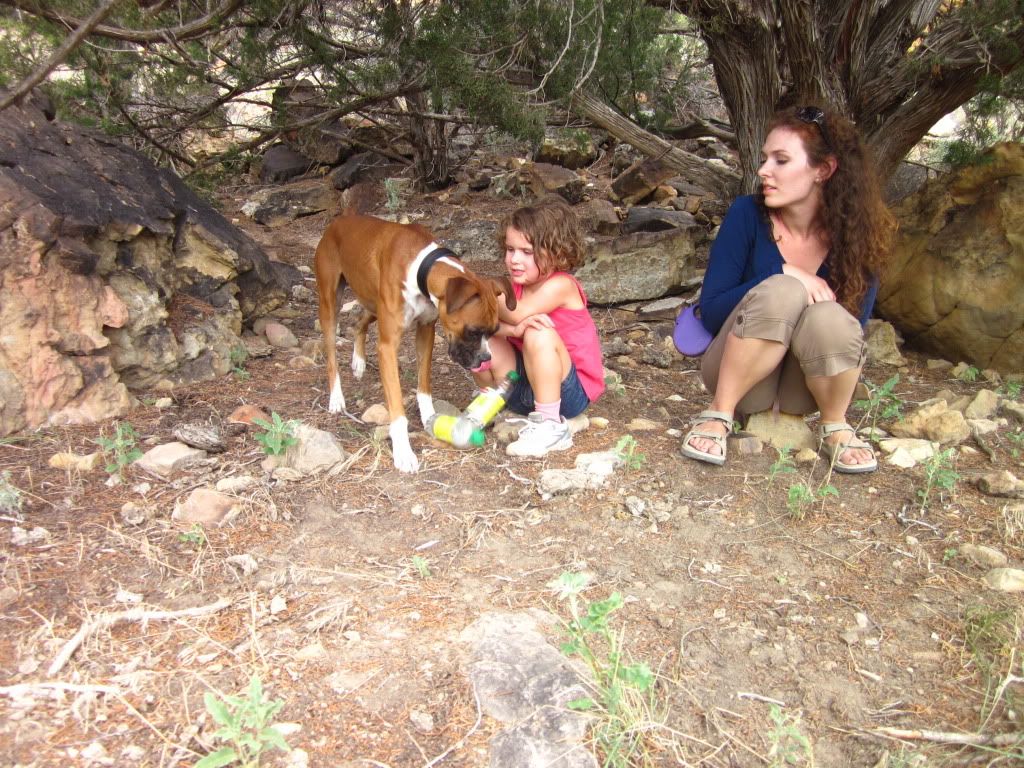
At this point we have begun to worry about our four legged companion. She is suffering from the heat. Darting between bits of shade and attempting to lay down. We kept her hydrated, even if forcing it down her throat, and even pouring it over her head and body.... she wasnt doing so hot.

IMG_1320.jpg


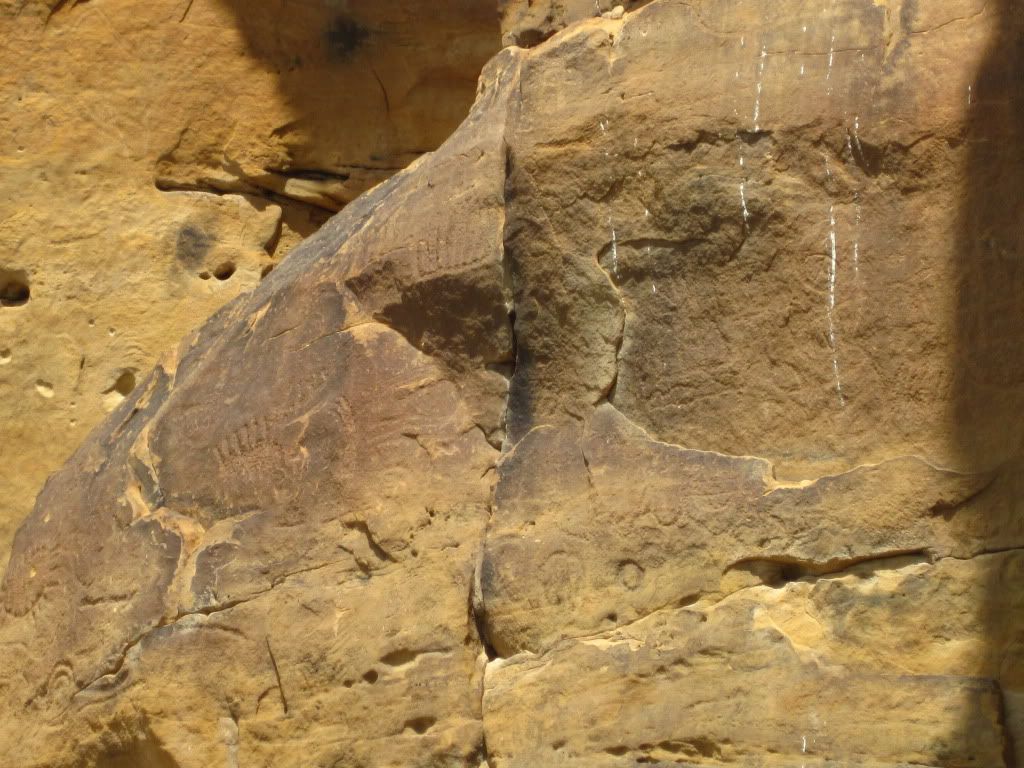
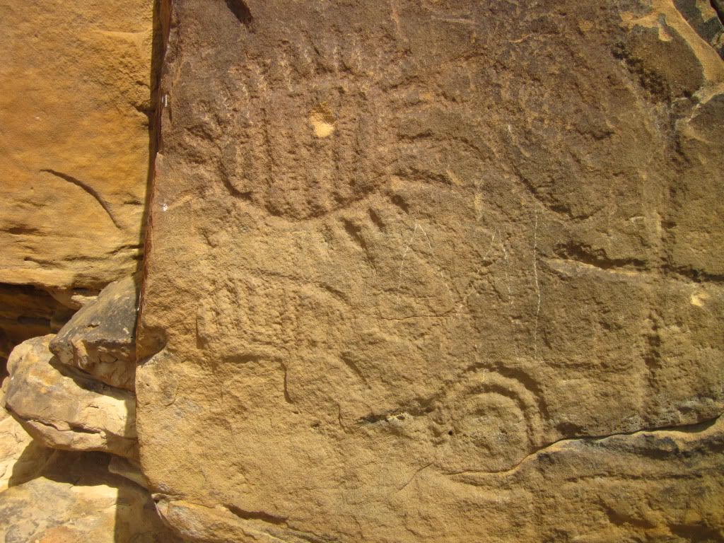
So the girls stayed with her while I literally ran forward to get pictures of the wall carvings.
IMG_1331.jpg

IMG_1321.jpg

IMG_1322.jpg

IMG_1325.jpg

IMG_1327.jpg
 
Day 5: Continued Comanche Grasslands

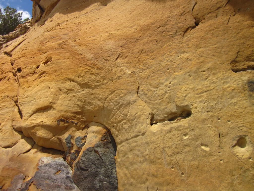
The carvings were not as resplendent as I had hoped. Interesting and awesome that they have lasted this long... no thanks to many idiots who shot them up.

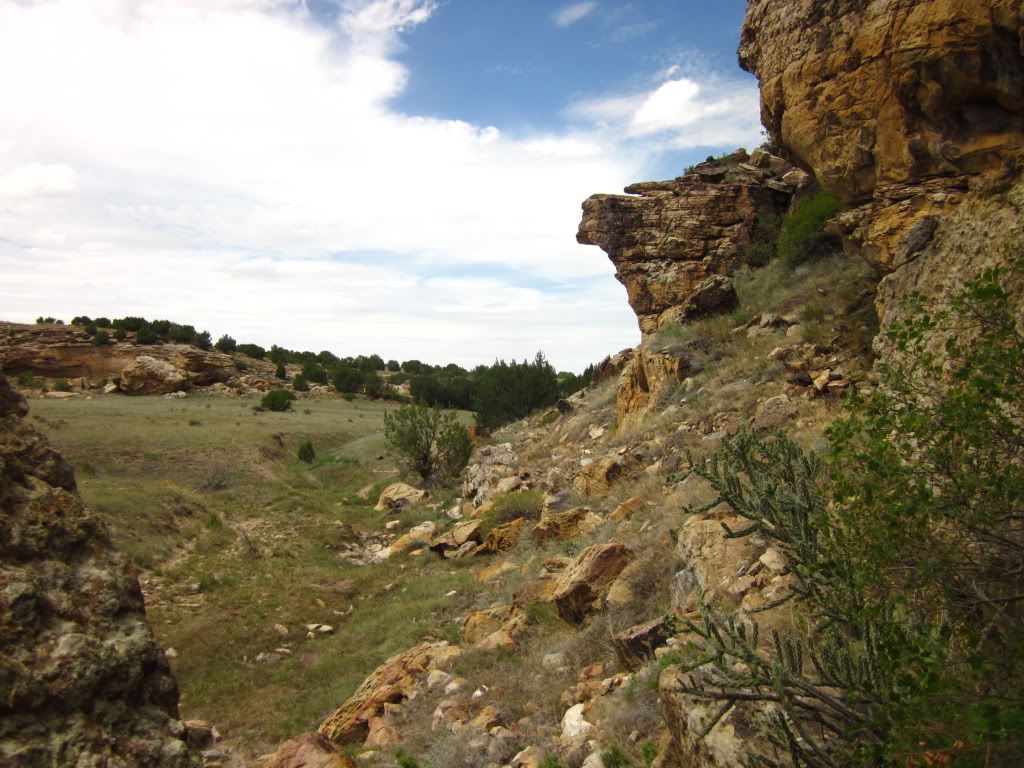
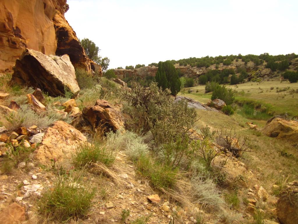
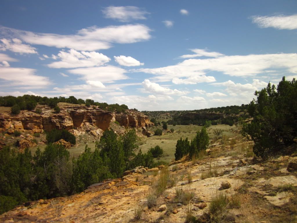
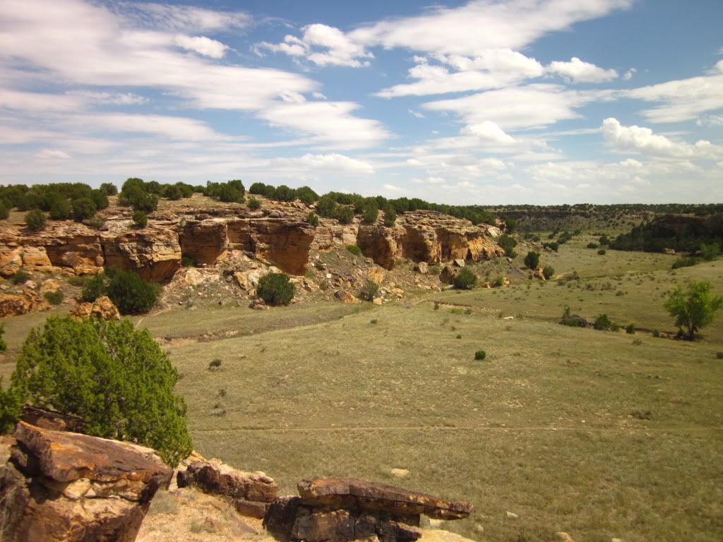
Beautiful area, this canyon.
IMG_1329.jpg

IMG_1330.jpg

IMG_1335.jpg

IMG_1336.jpg

IMG_1336.jpg

Yeah, well it was hot...... and I had just done some cross country running...............

IMG_1342.jpg

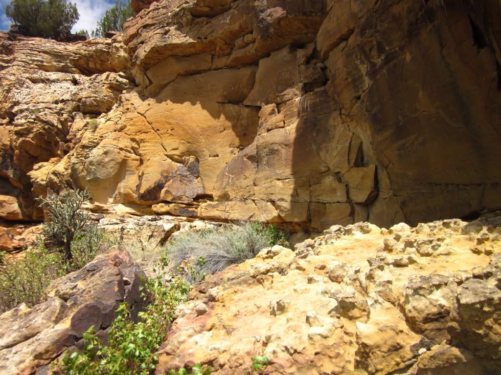
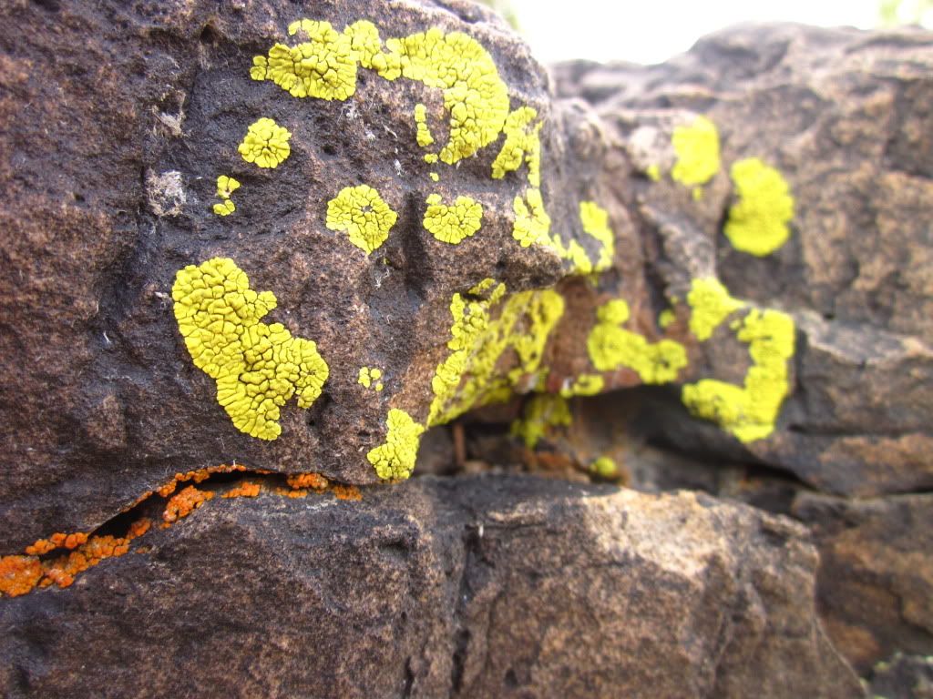
Interesting textures and colors.

IMG_1345.jpg

Another sign, photographed to read later... heh.

This is where it starts to get really bad for poor Bella... she has had enough.... and refuses to continue.
IMG_1346.jpg

IMG_1348.jpg

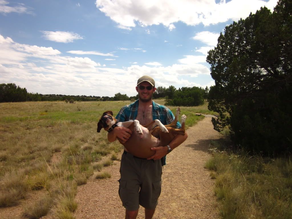
Too bloody heavy carrying her like a baby...

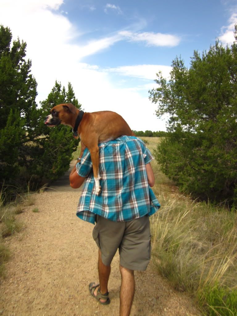
Ah, this is better...
IMG_1350.jpg


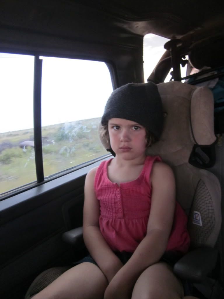
Munchkin wasnt holding up much better with the heat either. Normally the terrain and distance is a breeze for her.
IMG_1355.jpg


IMG_1347.jpg
 

PAToyota

Adventurer
IMG_1350.jpg


I had to resort to that with my Lab a few times over the years. He was always eager to start out an adventure, but sometimes bit off more than he could chew in his later years.

Hopefully I won't come across as some creepy old guy, but your wife is totally adorable. May your family always share the wonderful journey of life together!
 
Day 5: Continued Commanche Grasslands

So that little hiking trip taught me two things... one, boxer dogs really cant handle the heat. And two, bring more water. We brought 4 bottles of water on that hike, but we really needed more like 6. Our reasoning to bringing fewer? We had all been hydrating thoroughly all morning. For Kacy and I it was hot, but for dog and kiddo, it was miserable.

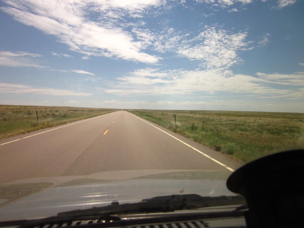
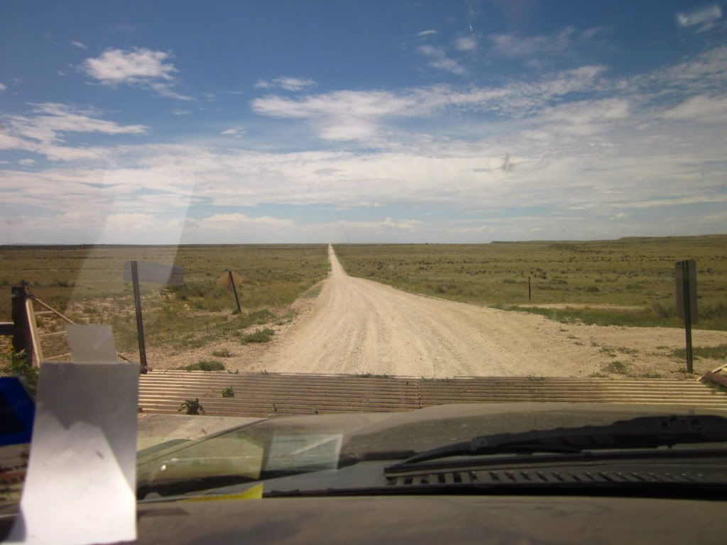
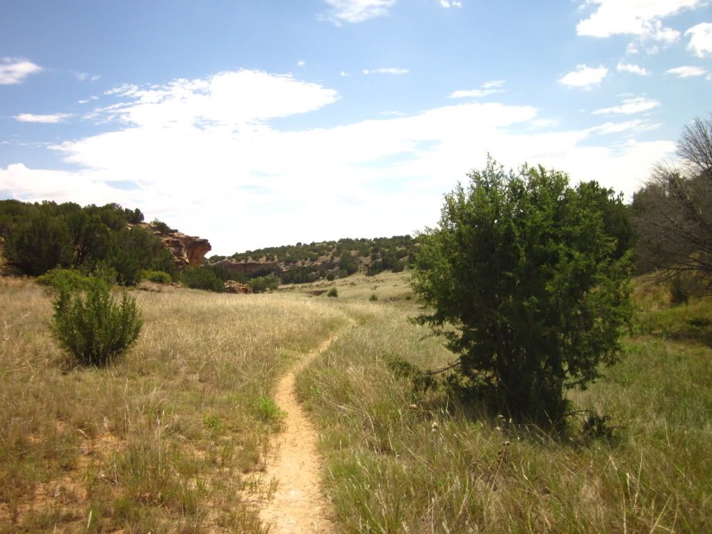
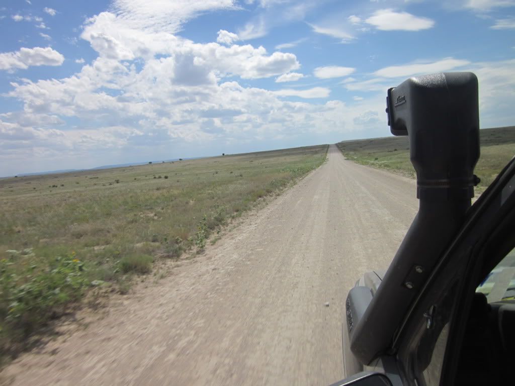
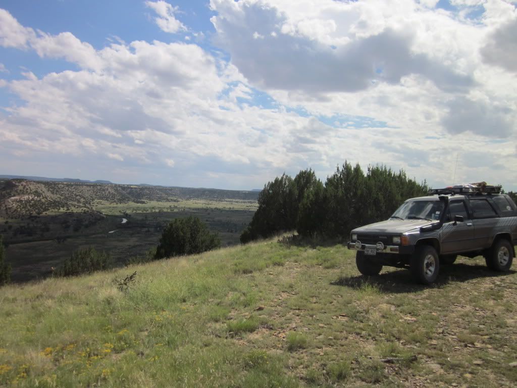
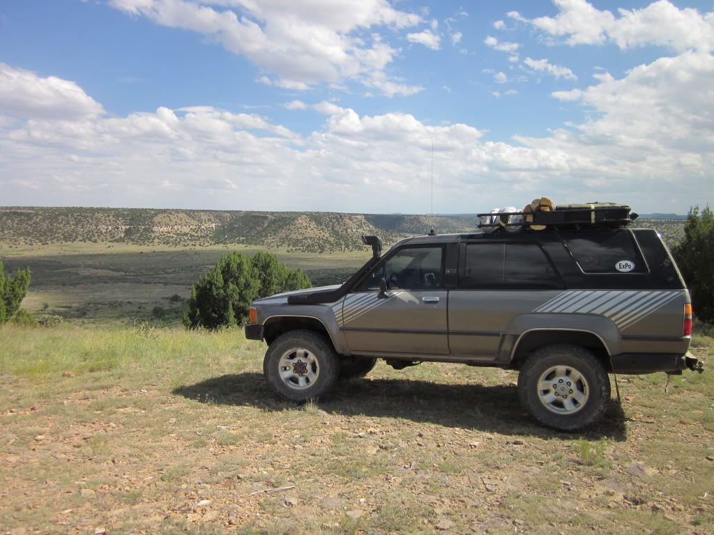
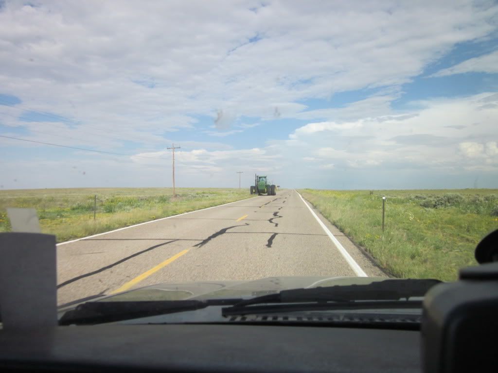
We then set out to explore the grasslands. This is what it looked like.
IMG_1362.jpg

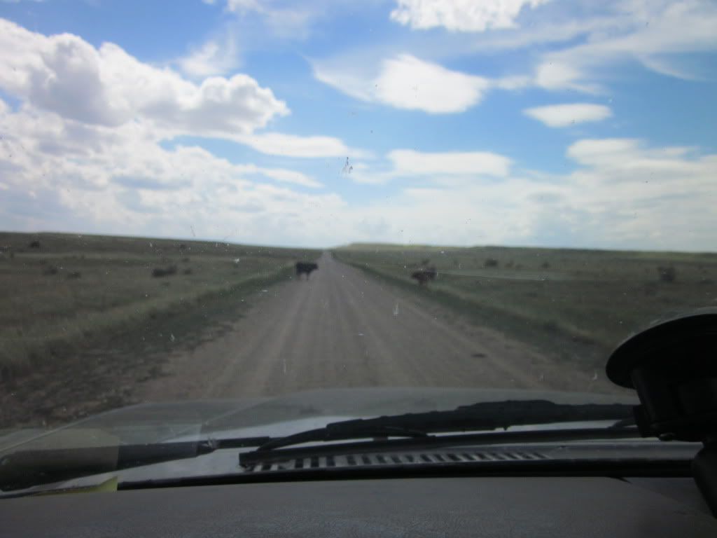
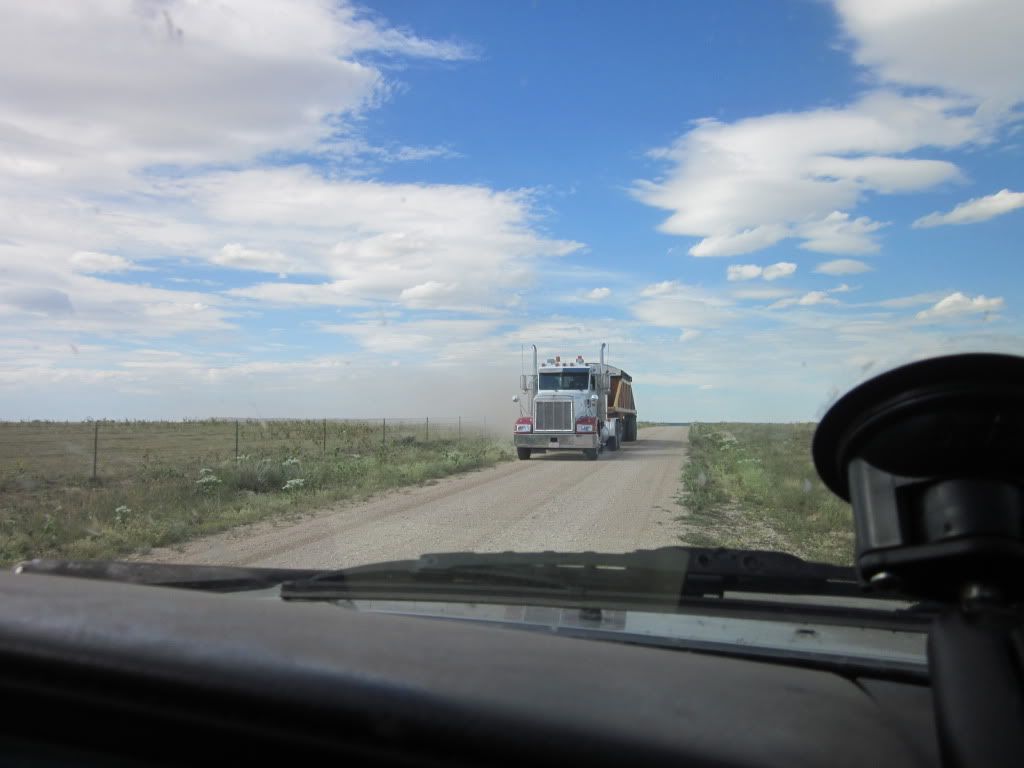
With the occasional bovine speed bump.
IMG_1365.jpg


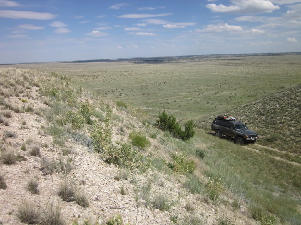
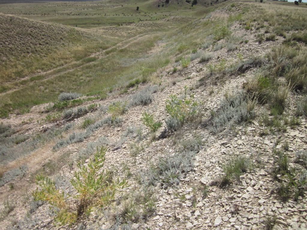
And then, off in the distance, I spotted a hill that Colorado Ron posed upon. Of course I had to check it out too.
IMG_1366.jpg

IMG_1367.jpg

The jog up the hill was interesting.... loose shale............
I thought it would be cool to replicate Colorado Ron's photo:
447807259_ae7eb2c2d2.jpg


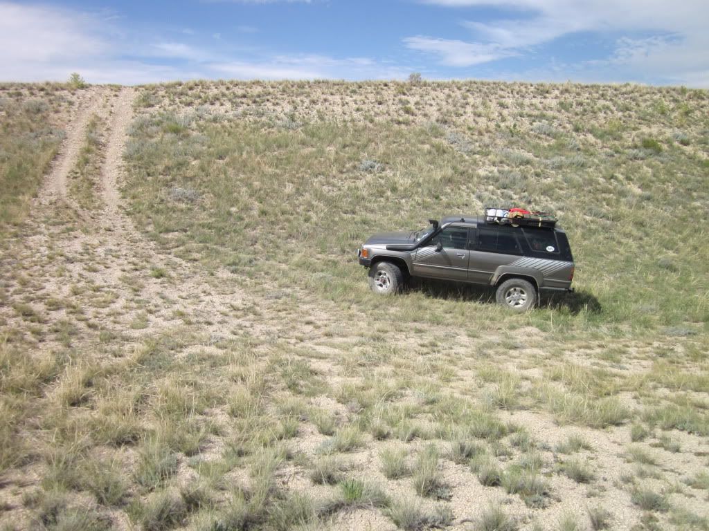
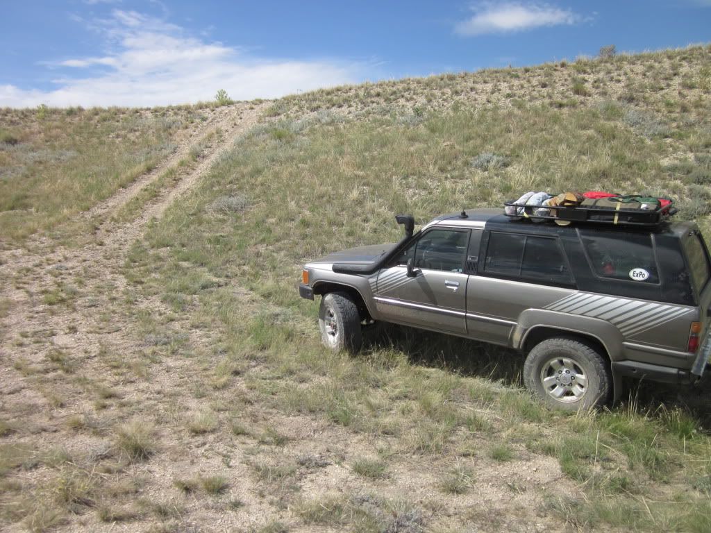
So, I attempted the hill climb. Its not like it was steep or anything...
IMG_1370.jpg

Well, remember that loose shale? I made it nearly to the top when I lost momentum when I broke traction and then slid back down. As you can see... it could have been bad!
IMG_1371.jpg

The dumb part was attempting it again, with equal results! Wife was NOT happy.

So we continued on, defeated, back down the hill. I mean shoot, we just climbed to the top of a gigantor mountain a couple days before!! But thats ok, better to give up than end up on the roof with only a Ford Taurus to pull you out-- only vehicle we saw out there!

IMG_1373.jpg


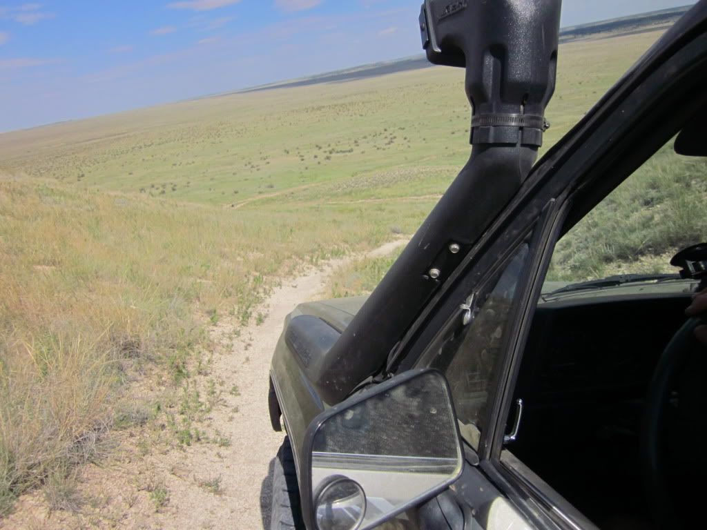
I then found another double track leading towards the big canyon.
IMG_1378.jpg


GPS indicated we were now on government property. US Army property.:Wow1:

IMG_1376.jpg


IMG_1379.jpg

Maybe next time...
While here, the Ford Taurus couple pulls up and they get out and start hiking down the trail. I asked how long they were going for "A couple hours". I asked if they had more water... "no, why". Meh... I just threw them an extra bottle and said be careful before driving off.

IMG_1381.jpg

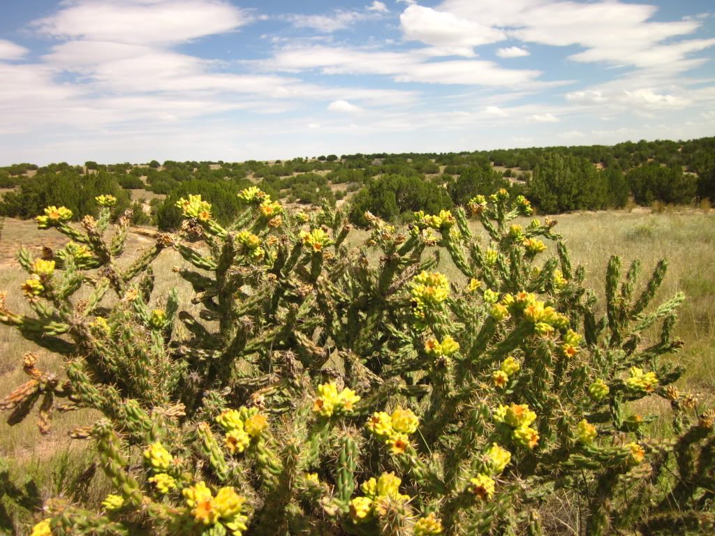
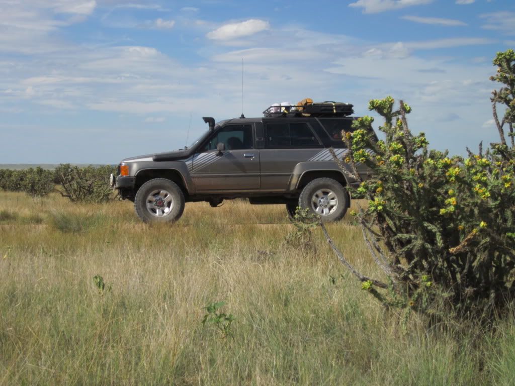
Cholla cacuts.

We did see these guys. No idea where they were going (dead end-ish road).
IMG_1384.jpg


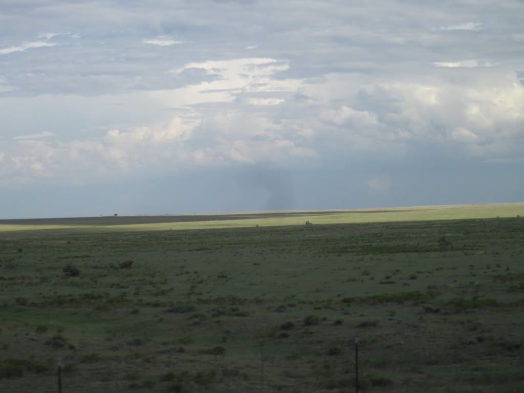
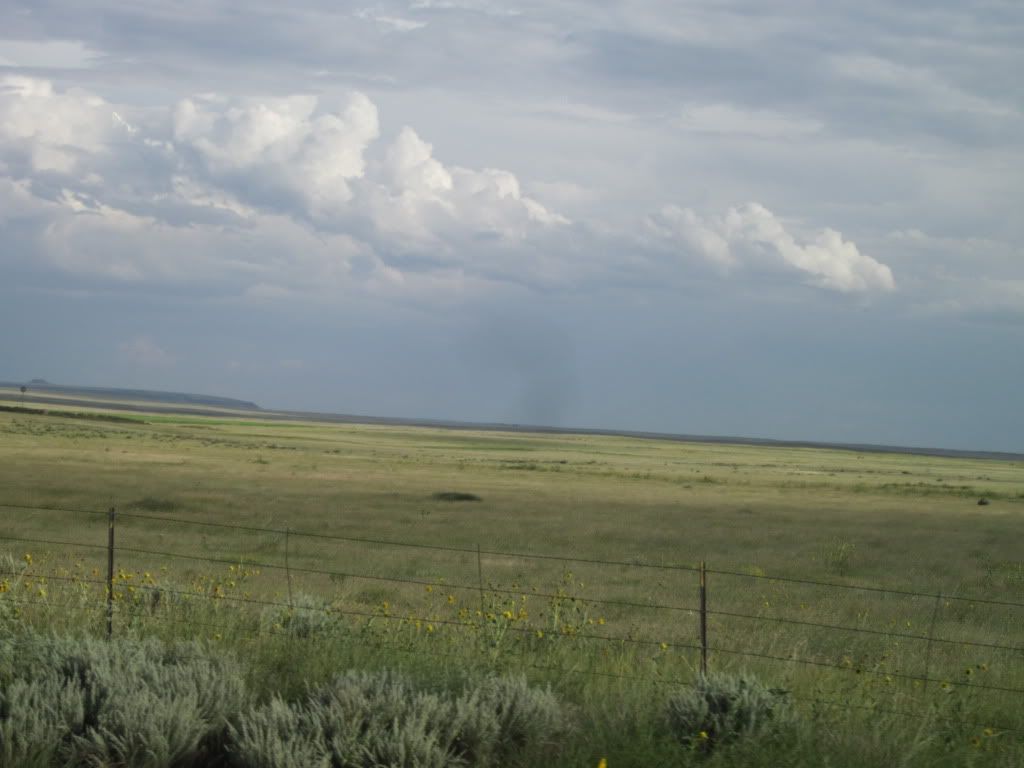
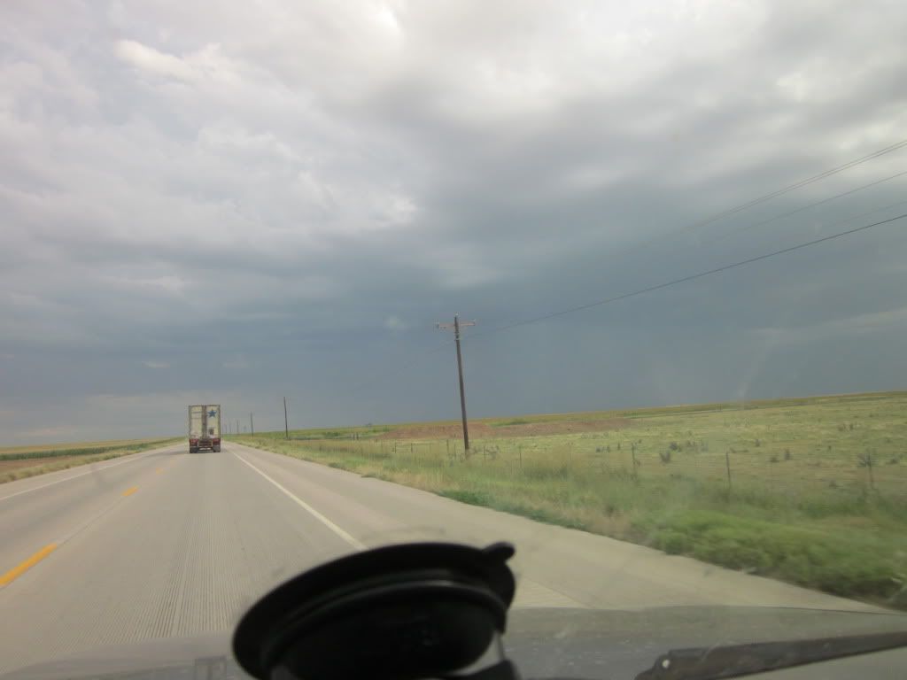
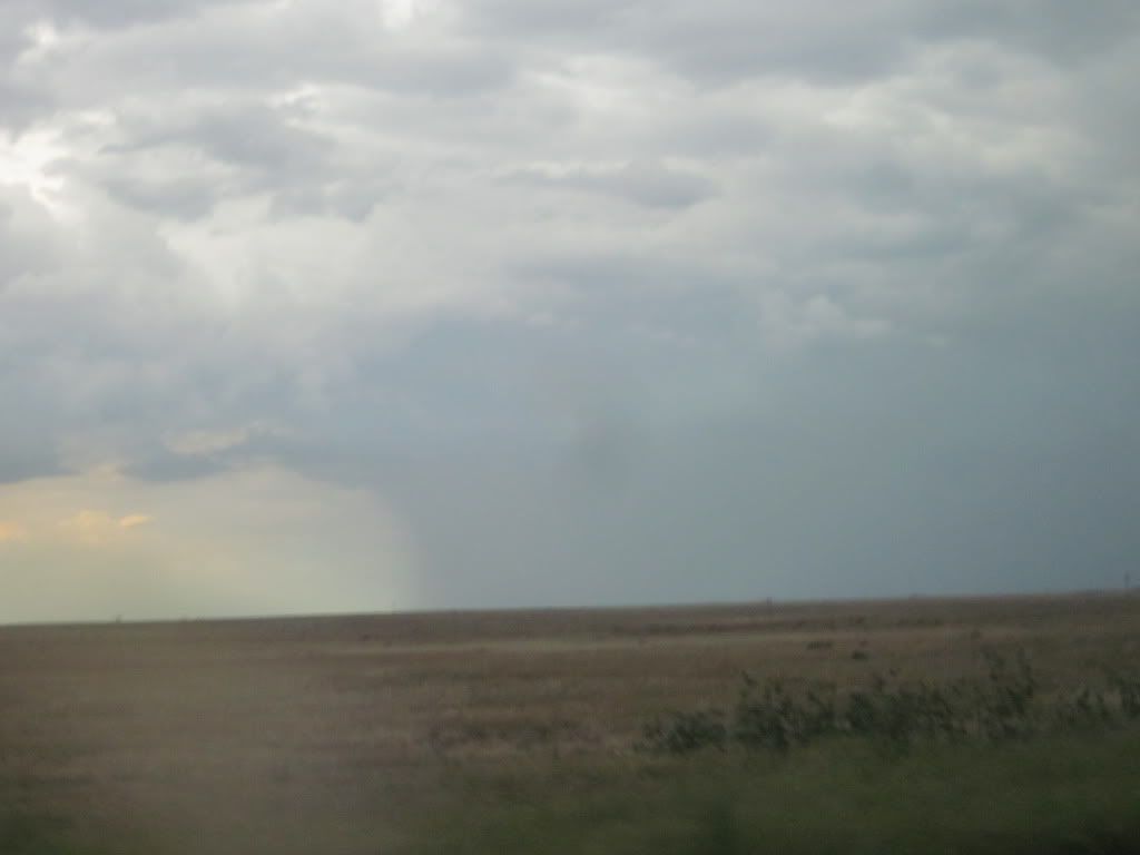
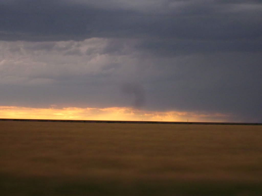
Oh and all of this was building up and moving at us fast...
IMG_1390.jpg


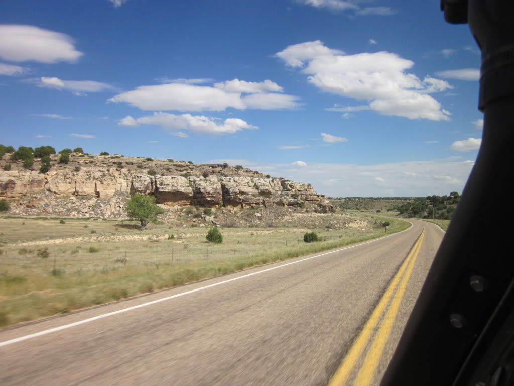
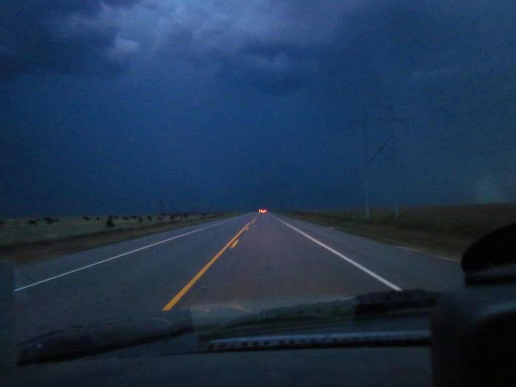
So we decided not to camp in the grasslands and move farther south east. So we headed back to the hwy where we were soon able to drive through the canyon on pavement. And dodging rain showers by driving in between the lightening storms.
IMG_1389.jpg

IMG_1392.jpg


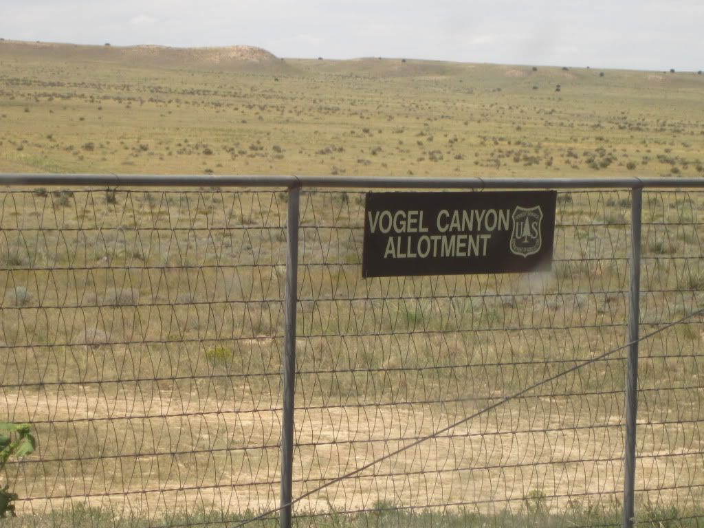
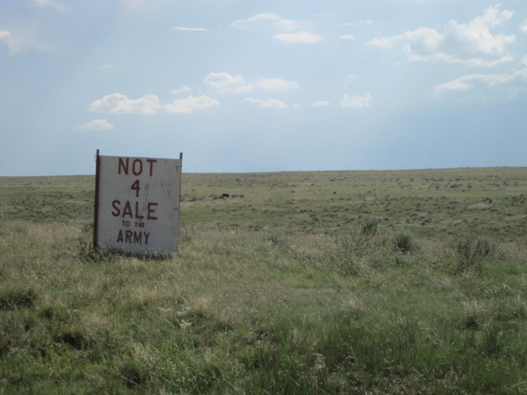
Apparently, the national grasslands, Vogul Canyon, Picketwire, and this entire region is under political turmoil. Apparently the US Army has been gobbling up thousands and thousands of acres. We lost track of the number of signs, after about 50-60 of these....
IMG_1396.jpg

IMG_1397.jpg

IMG_1399.jpg

IMG_1400.jpg


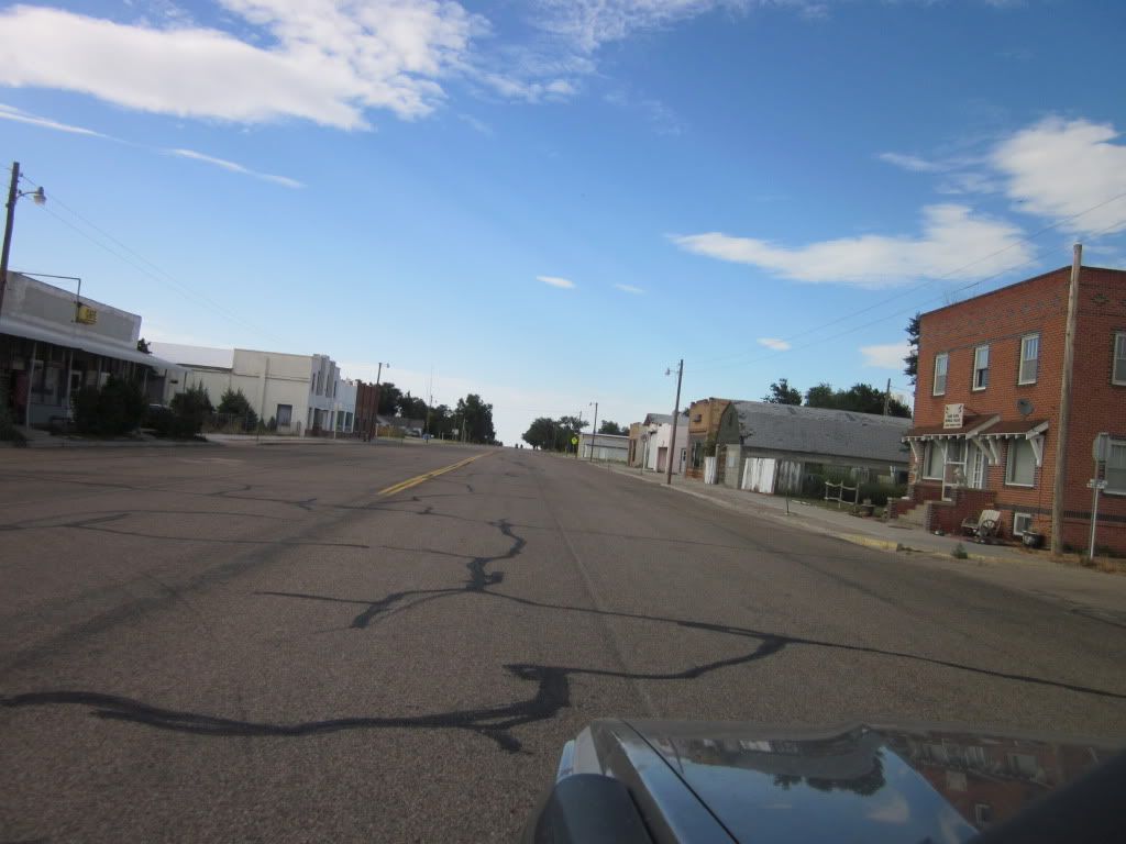
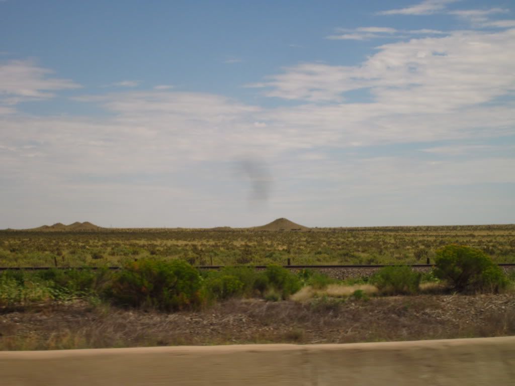
This place was a literal ghost town...
IMG_1403.jpg


IMG_1405.jpg
 
Day 5: Continued. Getting the heck out of Dodge.

For the first time, we were running low on gas.... in the middle of nowhere. I text messaged Mr. Leary that we were almost out of gas in the middle of bum-rape nowhere.... Sorry, I cant remember his humorous response.
But, after switching to reserve, we pulled into a town notorious for tornadoes and got gas. In fact, many of the smaller towns we passed through (with no one around) had shown signs of significant weather damage. Sure, it wasnt recent but, the amount of different places indicated that it was common!
Oh and you ask about "reserve" my truck indicates "empty" when I have approximately 5 gallons of gas left....

IMG_1410.jpg

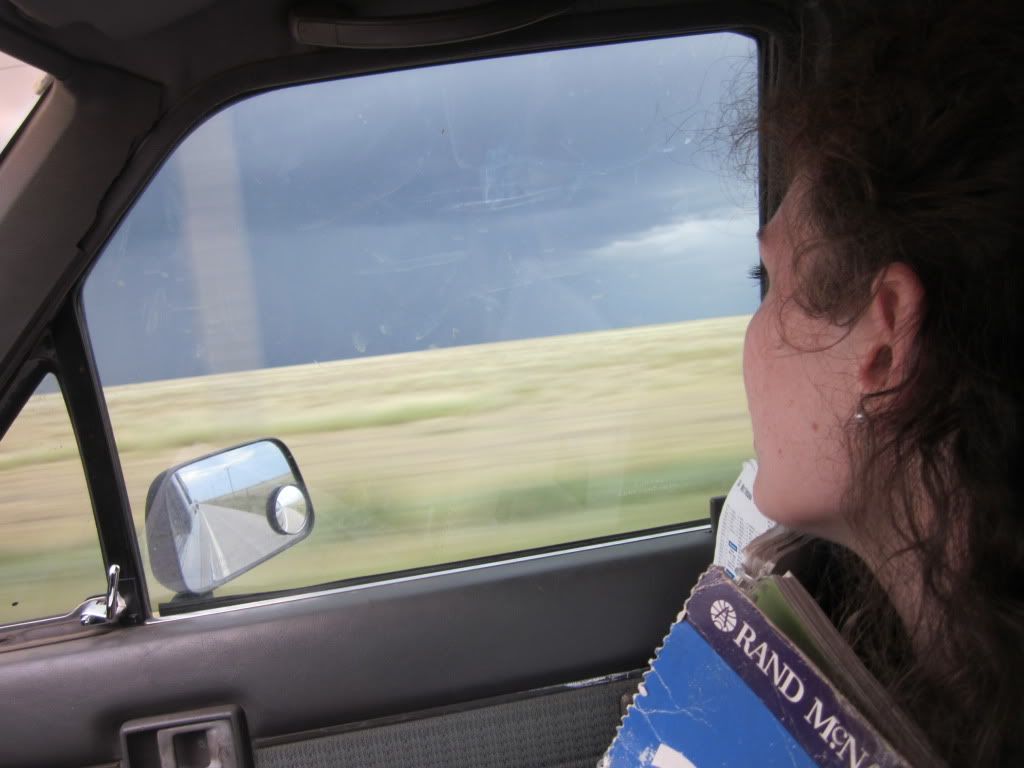
I watch too many storm chaser shows and was getting a little excited and paranoid, when all of the severe weather warnings were being blared on the radio...
Kacy was more nervous, than excited.
IMG_1407.jpg


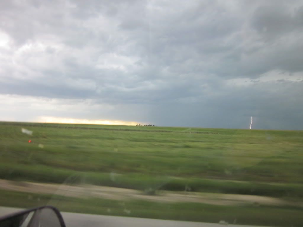
Now we have crossed into Oklahoma, and that alone raised our chances of seeing a tornado ten fold... Heck, I even caught lightening on film!
IMG_1415.jpg


IMG_1418.jpg


Then we had route change...
IMG_1423.jpg

To seek shelter at a hotel with a storm cellar....
IMG_1430.jpg
 

Area56

New member
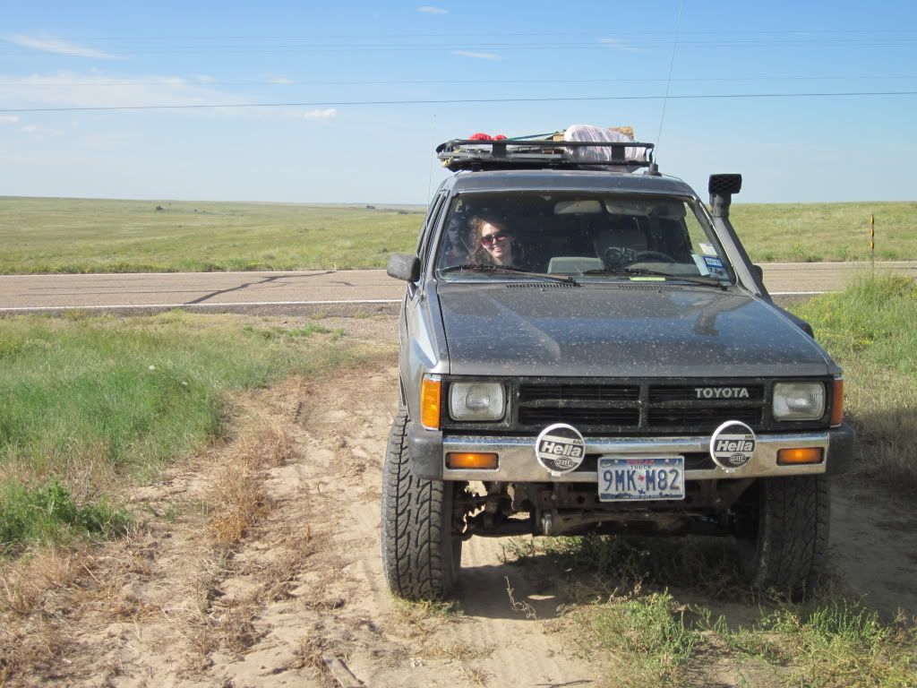
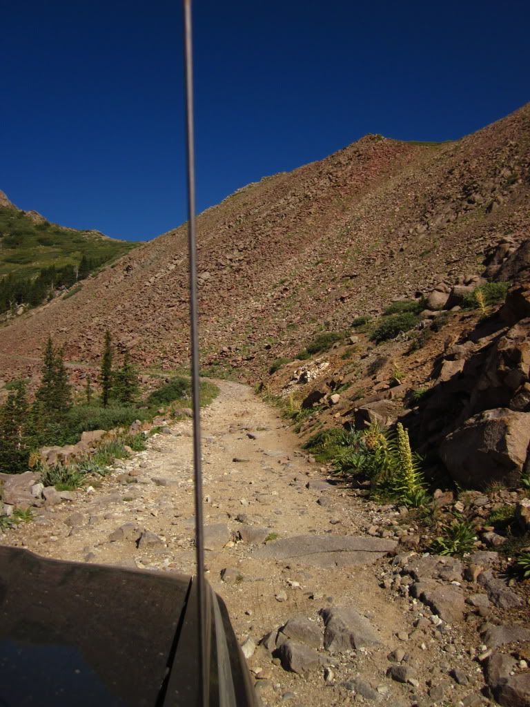
Ya know, there's a knock out plug in that 4Runner for a switch to manually control an electric antenna...

Then you could avoid these!

IMG_0700.jpg


It's pretty handy to be able to lower the antenna when going through brush and not have to turn the radio on and off. I forget if it was in the dash or on the console next to the back window switch.

Great trip report btw, and makes me miss having the old 4Runner on the road. I'd better get to work.
 

JMichaelsJeep

GaiaExplorer
Great Trip report.

I can't wait to do one of these with my wife and son.

FYI we have two boxers, and any time we do anything remotely like you are, we bring an extra couple water bottles just for them. They overheat easily. They also don't do well in extreme cold (I live in WI).

Where did you get the "cooling vest", that looks like something we might need to acquire.


Thanks for the continued compliments guys.


The cooling vest was bought at REI. Was around $25. Just search for dog cooling vests, I dont remember brand or details. Too bad we forgot to use it!
 

Whitey

Adventurer
Awesome Whitey! What is your proposed itinerary?

I hiked the Lily Lake Trail yesterday. Did the Sand Dunes/Medeno Pass drive today. Don't know what the plans are for tomorrow. I knocked my alignment to hell today, maybe I'll get that squared away if I can find a place in the morning.
 
I hiked the Lily Lake Trail yesterday. Did the Sand Dunes/Medeno Pass drive today. Don't know what the plans are for tomorrow. I knocked my alignment to hell today, maybe I'll get that squared away if I can find a place in the morning.


Sounds like you may be near Westcliffe or Alamosa, mechanics shops in both towns.
 

Forum statistics

Threads
188,008
Messages
2,901,044
Members
229,320
Latest member
SMBRoamer
Top