turbodb
Well-known member
IDBDR Pt. 9 - Move Over, Moose!
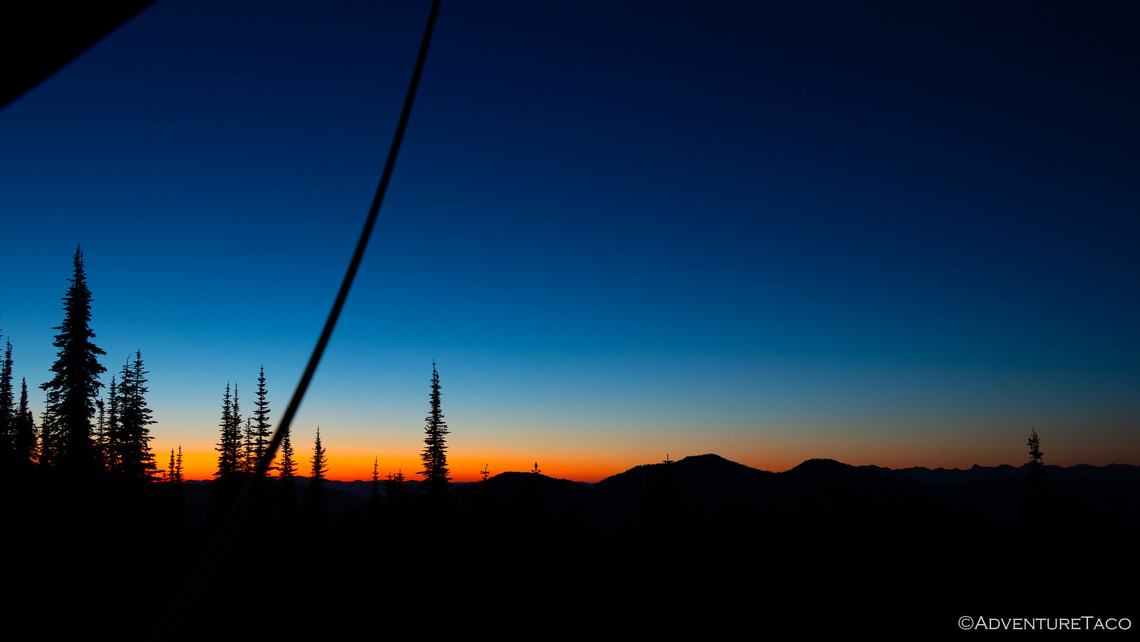
I wasn't sure how sunrise would be given that we were in a bit of a bowl around Dworshak Reservoir - with no line of sight to the horizon - and no clouds in the sky - it could be a complete dud. And for the most part, that's what it was. Unimpressed, I went back to sleep.
Having made good time yesterday, we still had a lot of making up to do - given our little brake caliper issue on the Lolo Motorway, and the fact that we'd spent two days completing the second stage of the IDBDR - so we got up reasonably early and ate a quick breakfast of granola bars before getting packed up and on our way just before 8:00am.
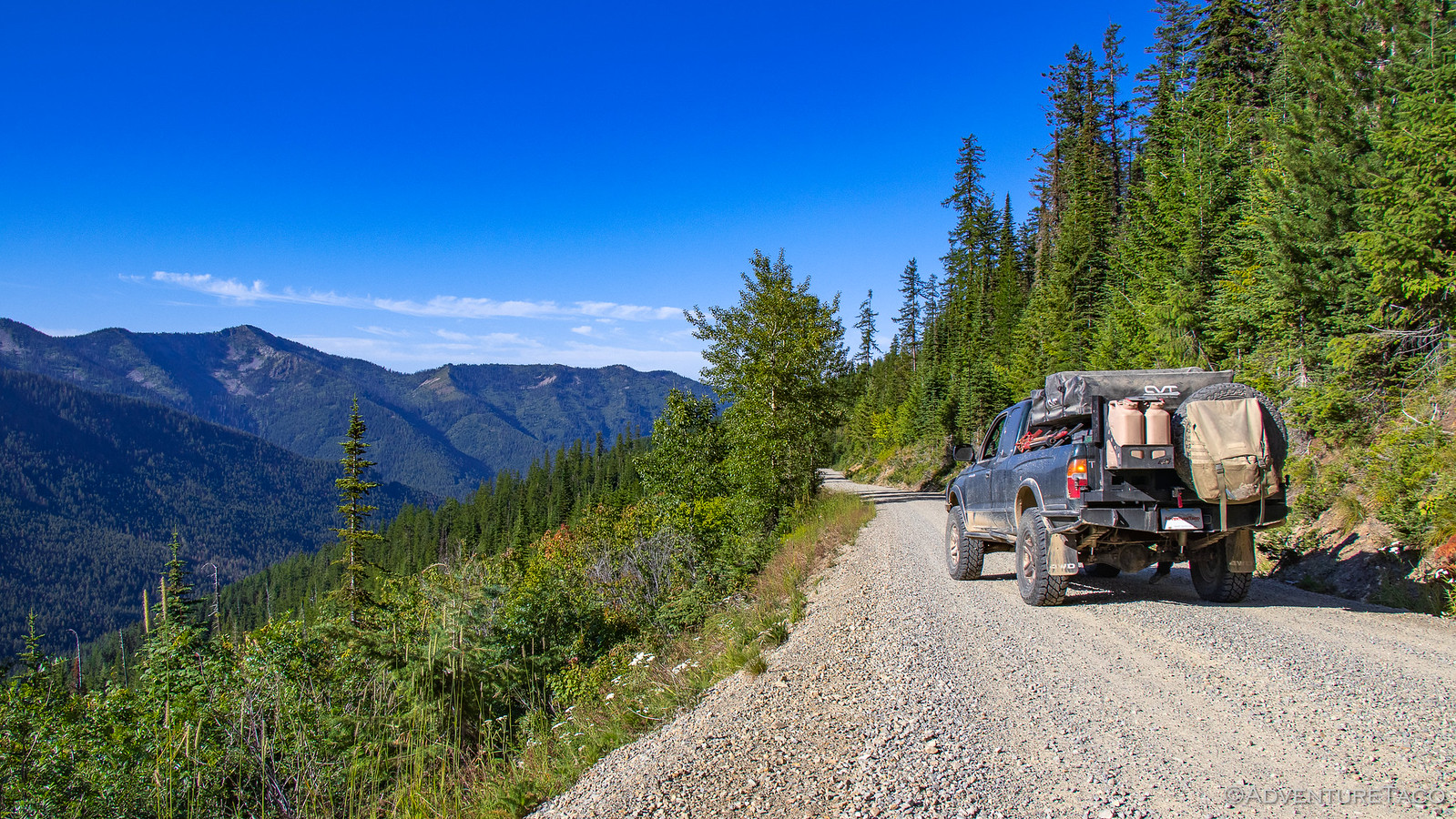
Still in the land of Potlatch Corporation, we enjoyed good roads for an hour or so until we reached the leased/private/public land boundary - where I assume that USFS became responsible for the road, and it quickly went to ********. Until then though, we had mile markers and designated CB channels to call out our position - you know, so we weren't hit by any logging trucks barreling down the road with a full load.
Of course, we didn't mind the roads-less-traveled, our aired down tires and reasonable suspension absorbing nearly everything that was thrown at them. Still making our way up and out of the bowl, we eventually came up on the Blue Heaven Cabin. A warming hut that's been painted blue (duh!), it's available year round on a first come basis and even on this warm morning, the front door was open and there was a bit of smoke coming out of the chimney - hopefully for cooking breakfast rather than warming the place up!
Not wanting to disturb the occupants, we didn't linger or look around - opting instead to push forward towards the town of Avery, Idaho - the next waypoint we had on the route, and one with a bit of history to boot.
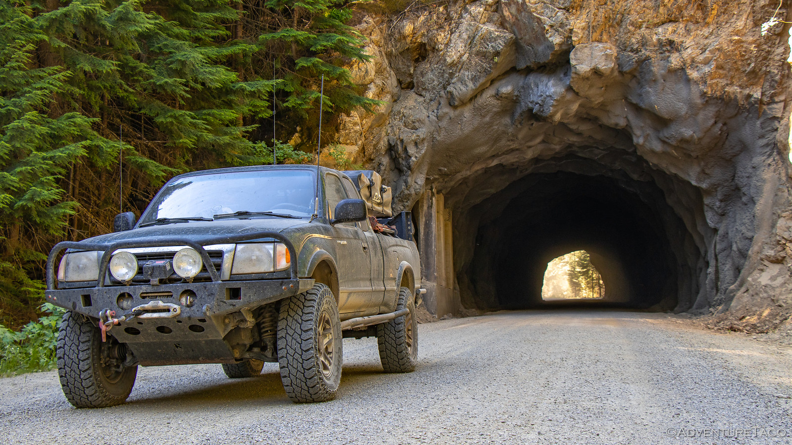
As we crested the final ridge however, we saw a Jeep Wrangler stopped in the road - one of it's occupants out of the vehicle, looking around on the ground. Naturally we stopped to make sure everything was OK. It was, the driver informed us - they were just a couple rock hounds out hunting for Azurite - a blue crystal - found in the area. So we continued on our way down the hill, eventually passing through a tunnel before finally arriving in the sleepy little town of Avery.
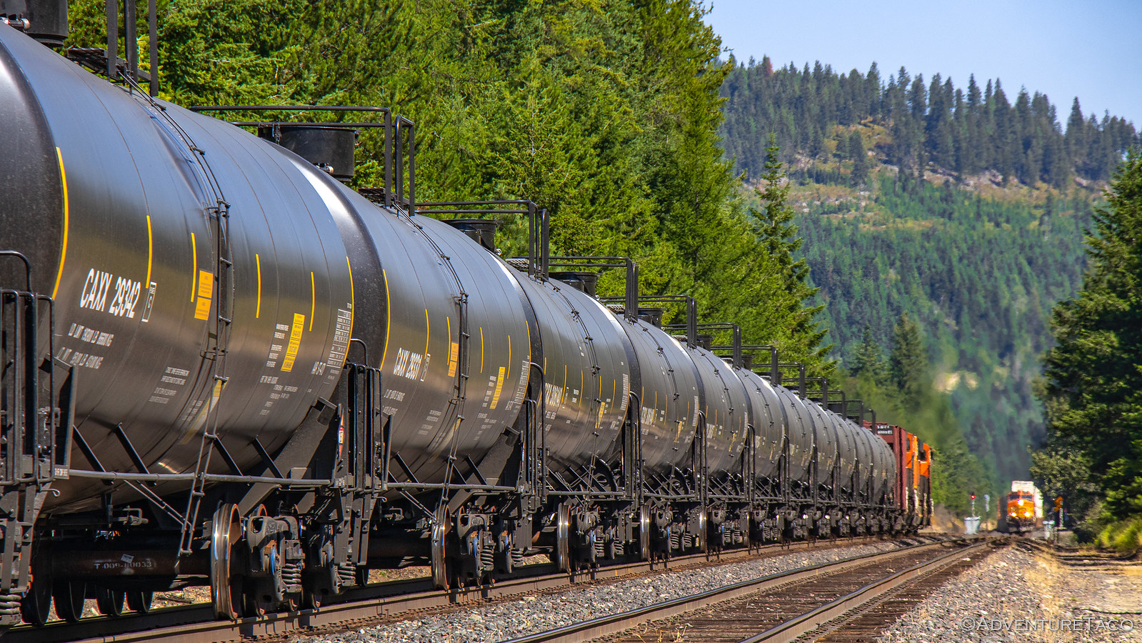
Avery it turns out was once a bustling hub - a transportation center for the Cicago, Milwaukee, St. Paul and Pacific Railroads and a logging community for over 100 years. But fires in the early 1900s caused widespread panic - many residents fleeing; those who couldn't, finding refuge in the newly constructed railroad tunnels as the fires burned. Ultimately, fire fighters set back fires to save the town, but the damage was done. Today, 25 permanent residents call Avery home.
Still, it's fun to hear stories from the old days and think just how crazy the times must have been...
In the center of town - at the only intersection - an old dining car still sits on the side of the road, now converted into a museum. I got out and investigated a bit - it must have been quite the experience to ride in one of these trains in their heyday.
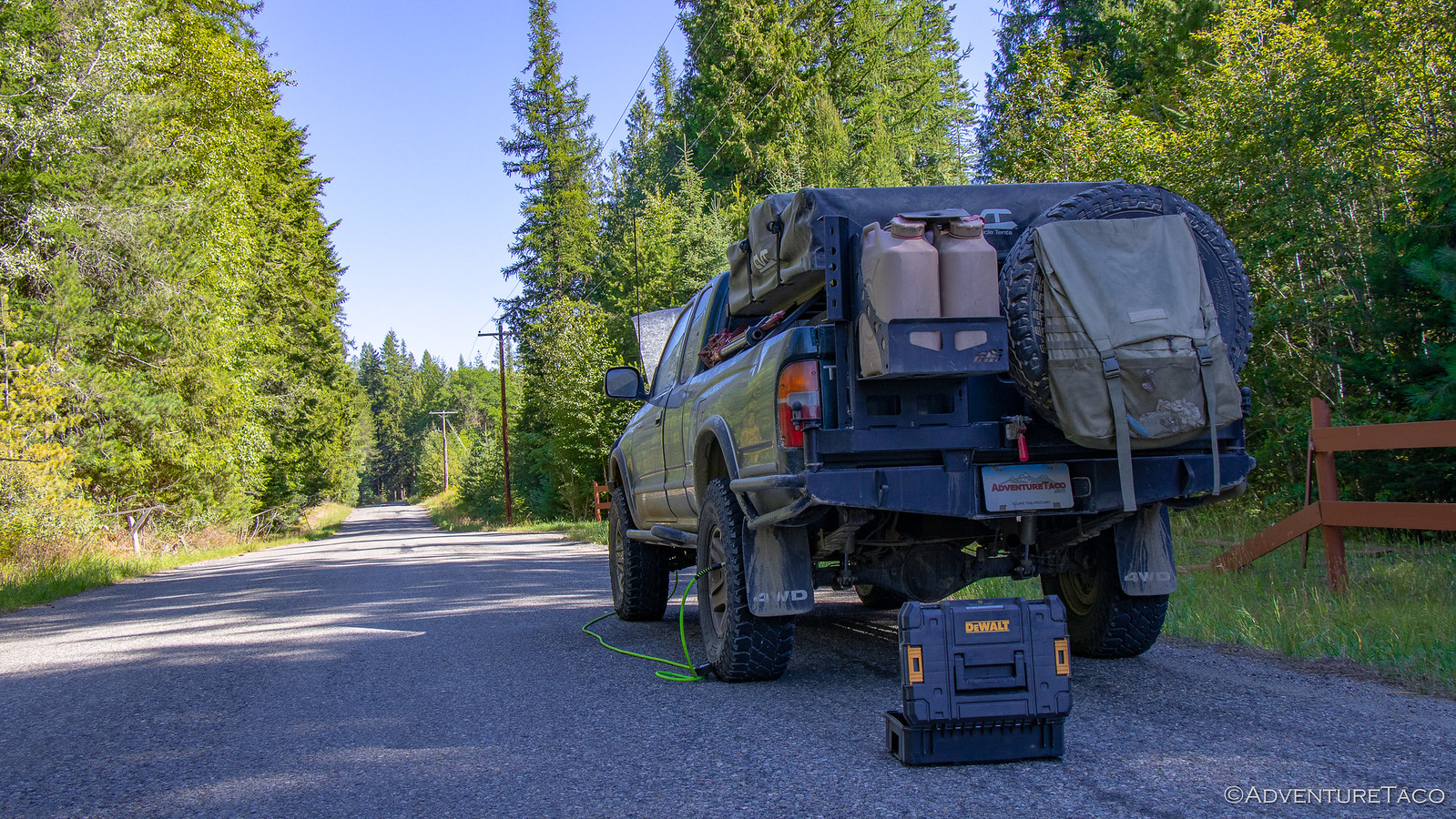
We also took the opportunity to refuel while we were in Avery, though I think we found the local's gas station rather than the normal station that out-of-towners generally use. Completely unstaffed, we saved ourselves over $1/gallon compared to the fuel on the highway, and we were able to shine up the front of the truck a bit as well.
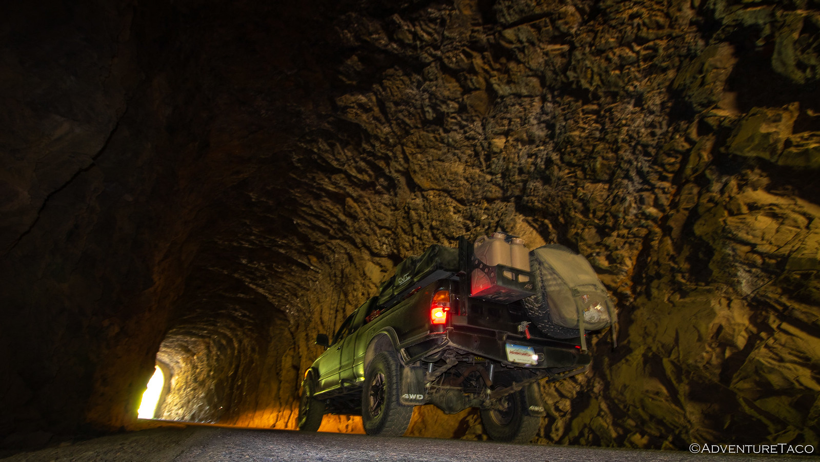
From Avery, the IDBDR splits. Not for long - the two possible routes are separated only by the St. Joe River that runs between them - but each route has it's highlights. To the west, the road follows the old rail line through several tunnels. To the east, the road follows another rail line over several trestles.
We chose the west - and will forever wonder if we made the right call! ? The tunnels though were cool, and I'm sure either route is equally intriguing.
Whichever route you choose, after about 7 miles, the two routes join back together and the track continues north towards Wallace - a reasonably large town (as towns on the IDBDR go), nestled under the I-90 freeway. Because of this, the road is obviously well-traveled and meticulously graded - but very dusty. We got stuck behind a dually for the first several miles, and I felt like not only did the truck need a shower, but so did @mrs.turbodb and I.
Eventually we got around into the clean air, and we kept our pace up to ensure that we were at no risk of being passed again - the dust so thick it was blinding.
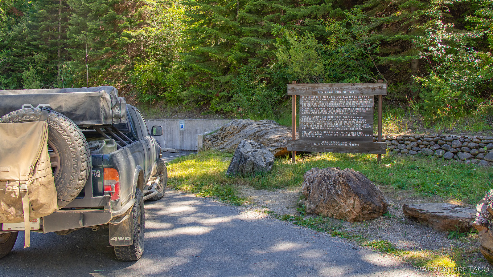
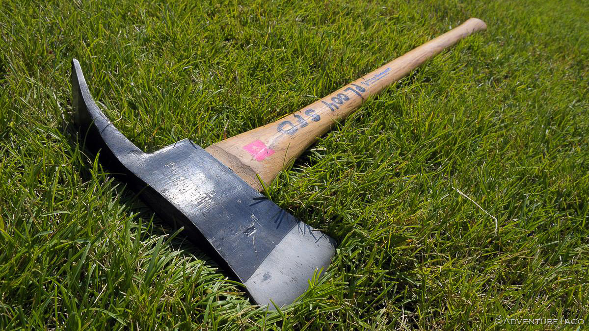
At about the same time the gravel road became an oiled gravel road, we happened upon a memorial that we couldn't pass by without stopping. Remembering the great fire of 1910, it tells the story of one Edward C. Pulaski - a Forest Ranger and leader of 45 men fighting the fire. Six of those men died, but Pulaski is credited with saving the lives of the remaining men by leading them into train tunnels until the fire passed.

And that is where the name of a Pulaski comes from!
Less concerned with traffic in front of us on the road at this point, we made our into and through Wallace - a cute little town that would likely be the bees knees for someone touring around old towns of Idaho.
Don't miss the rest of the story, and all the remaining photos that don't fit here (due to max post size). Hopefully that can change in the future, but until then...
.
I wasn't sure how sunrise would be given that we were in a bit of a bowl around Dworshak Reservoir - with no line of sight to the horizon - and no clouds in the sky - it could be a complete dud. And for the most part, that's what it was. Unimpressed, I went back to sleep.
Having made good time yesterday, we still had a lot of making up to do - given our little brake caliper issue on the Lolo Motorway, and the fact that we'd spent two days completing the second stage of the IDBDR - so we got up reasonably early and ate a quick breakfast of granola bars before getting packed up and on our way just before 8:00am.
Still in the land of Potlatch Corporation, we enjoyed good roads for an hour or so until we reached the leased/private/public land boundary - where I assume that USFS became responsible for the road, and it quickly went to ********. Until then though, we had mile markers and designated CB channels to call out our position - you know, so we weren't hit by any logging trucks barreling down the road with a full load.
Of course, we didn't mind the roads-less-traveled, our aired down tires and reasonable suspension absorbing nearly everything that was thrown at them. Still making our way up and out of the bowl, we eventually came up on the Blue Heaven Cabin. A warming hut that's been painted blue (duh!), it's available year round on a first come basis and even on this warm morning, the front door was open and there was a bit of smoke coming out of the chimney - hopefully for cooking breakfast rather than warming the place up!
Not wanting to disturb the occupants, we didn't linger or look around - opting instead to push forward towards the town of Avery, Idaho - the next waypoint we had on the route, and one with a bit of history to boot.
As we crested the final ridge however, we saw a Jeep Wrangler stopped in the road - one of it's occupants out of the vehicle, looking around on the ground. Naturally we stopped to make sure everything was OK. It was, the driver informed us - they were just a couple rock hounds out hunting for Azurite - a blue crystal - found in the area. So we continued on our way down the hill, eventually passing through a tunnel before finally arriving in the sleepy little town of Avery.
Avery it turns out was once a bustling hub - a transportation center for the Cicago, Milwaukee, St. Paul and Pacific Railroads and a logging community for over 100 years. But fires in the early 1900s caused widespread panic - many residents fleeing; those who couldn't, finding refuge in the newly constructed railroad tunnels as the fires burned. Ultimately, fire fighters set back fires to save the town, but the damage was done. Today, 25 permanent residents call Avery home.
Still, it's fun to hear stories from the old days and think just how crazy the times must have been...
Ed Hanson said:Roadside History of Idaho[/b]]I was cookin' the doughnuts and biscuits. Old Baldy Fropes he cooked the bacon and ham and somebody was the coffee cook.
We had to have a cook for each article. We had them Kimmel stoves about 4 ft. long and 3 ft. wide and no bottom except the ground. Paul Resor fired while I cooked doughnuts on top of the stove. It kept him busy pokin wood in all them stoves. I mixed dough in a big container, then slopped flour on the board and put a wad of dough on it and slipped more flower on top and patted it out. Then I rolled it with a candle using both hands. Then I cut the doughnuts square and shoved my thumb through the middle to make a hole and slipped 'em in the fry grease.
In the center of town - at the only intersection - an old dining car still sits on the side of the road, now converted into a museum. I got out and investigated a bit - it must have been quite the experience to ride in one of these trains in their heyday.
We also took the opportunity to refuel while we were in Avery, though I think we found the local's gas station rather than the normal station that out-of-towners generally use. Completely unstaffed, we saved ourselves over $1/gallon compared to the fuel on the highway, and we were able to shine up the front of the truck a bit as well.
From Avery, the IDBDR splits. Not for long - the two possible routes are separated only by the St. Joe River that runs between them - but each route has it's highlights. To the west, the road follows the old rail line through several tunnels. To the east, the road follows another rail line over several trestles.
We chose the west - and will forever wonder if we made the right call! ? The tunnels though were cool, and I'm sure either route is equally intriguing.
Whichever route you choose, after about 7 miles, the two routes join back together and the track continues north towards Wallace - a reasonably large town (as towns on the IDBDR go), nestled under the I-90 freeway. Because of this, the road is obviously well-traveled and meticulously graded - but very dusty. We got stuck behind a dually for the first several miles, and I felt like not only did the truck need a shower, but so did @mrs.turbodb and I.
Eventually we got around into the clean air, and we kept our pace up to ensure that we were at no risk of being passed again - the dust so thick it was blinding.
At about the same time the gravel road became an oiled gravel road, we happened upon a memorial that we couldn't pass by without stopping. Remembering the great fire of 1910, it tells the story of one Edward C. Pulaski - a Forest Ranger and leader of 45 men fighting the fire. Six of those men died, but Pulaski is credited with saving the lives of the remaining men by leading them into train tunnels until the fire passed.

And that is where the name of a Pulaski comes from!

Less concerned with traffic in front of us on the road at this point, we made our into and through Wallace - a cute little town that would likely be the bees knees for someone touring around old towns of Idaho.
Don't miss the rest of the story, and all the remaining photos that don't fit here (due to max post size). Hopefully that can change in the future, but until then...
Keep reading the rest here
IDBDR Pt. 9 - Move Over, Moose!
IDBDR Pt. 9 - Move Over, Moose!
.


