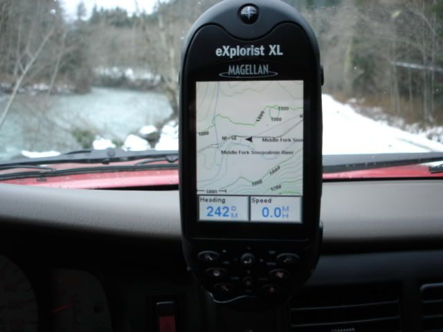
I got an Magellan Explorist XL for Christmas! I also got the vehicle mount and the Topo software!!....It has worked out to be a great unit in my travels. Easy to use and the Topo maps are fun to use to plan trips. I just got off Ebay the 12V Cigarette Power Adapter and a 2gb sd memory card to hold all my maps.
The wife got it for a great deal at Gi joes for i think around $270...She a great power shopper if you ask me!!
Features:
* eXtra-Large color screen - 3.5" backlit display in vibrant color
* Easy-to-use - Navigate in seconds with simple menus, one-button shortcut to key features and joystick control
* Built-in maps - North American or European basemap shows major roads, parks, waterways and many points of interest
* SD-card expandability - Add unlimited MapSend topographic maps or turn-by-turn street routing
* Simple file system - Save, organize and access all your stored data with ease
* USB data port - Manage maps and waypoints and download coordinates from your PC
* TrueFix® technology - Reliable accuracy to within 3 meters
* Area calculation - Instantly see the distance and area between any geographic points
* Vertical profile - View graphical elevation changes for where you've been or where you're going
* Geocache Manager - PC application to download and organize coordinates from the Internet
* Track logging - Store 5 track files with 2000 points each and an unlimited number on your own SD cards
* Four navigation screens - Map, Compass, Locator and Satellite Status deliver easy-to-use information
* Advanced power management - Four AA batteries provide up to 19 hours of use. Save power with “auto-off".
* Rugged construction - Encased in rubber armored, impact resistant plastic
* Water resistant - Don't worry about getting it wet
* Languages - Choose English, French, German, Spanish, Italian, Swedish, Finnish, Portuguese, Dutch or Norwegian.
* No service fees - Ready to use with no activation required
* Full Warranty - One-year in North America, Two-year in Europe
In the future, i want to do a custom mount.....
It's been a great unit!!!
:26_7_2: