At the threat of a major hijack, here's our Apstole Island itinerary from roughly 15 years ago. We found out that a low water level can expose even more routes to adjoining caves.
We put in at Meyer's Beach on the east side of Bayfield Penninsula. Paddled the shoreline in and out of the sea caves then crossed to Sand island to camp. That made a terrific day 1. Highly recommend it.
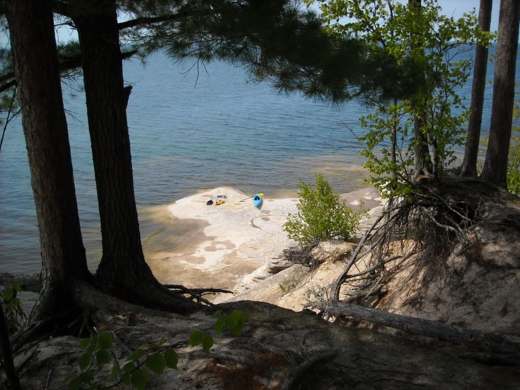
Day 2 we circumnavigated Sand Island. Tons of great caves to dart in and out of. Highly recommend it. Take your time and explore.
Day 3 we left our tents up on Sand again and paddled to Raspberry Island, toured the light house etc, then returned to Sand after stopping on a beach on the north side of York. It was fine, if you have that much time.
Day 4 we packed up and paddled to Devils Island and set up camp there.
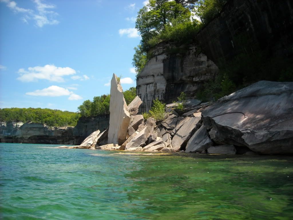
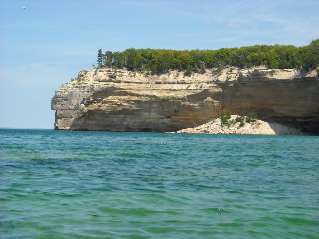
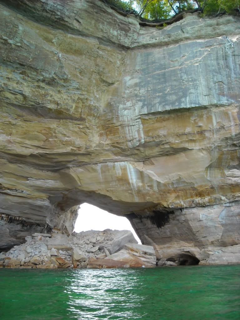
Day 5 we broke camp early, circumnavigated Devils in the morning, then paddled to Oak and set up camp. I highly, highly recommend circumnavigating Devils. It has the best caves.
Day 6 we broke camp and paddled into Bayfield. Said hello to Grant Herman, and had an ice cream.
That was almost 15 years ago and its still one of my favorite trips, land, sea or air.
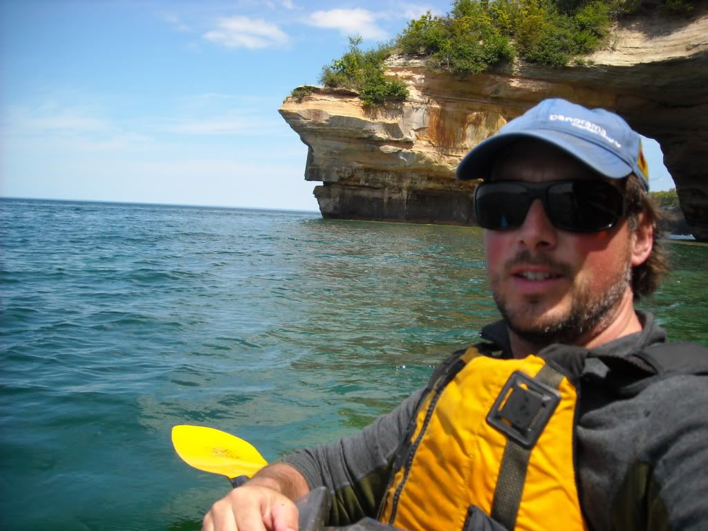
For reference sake, 3 out of 4 of us were BCU 4-5 Star paddlers in Romanys and a Nordkapp, with the fourth being a non certified experienced paddler also in a sea kayak.
That is the trip where I invented the infamous (in our paddling circles anyway) "Debrito". I always bring tortillas because they pack easier than bread. I was out of sandwhich food at our last lunch stop, but had one tortilla left. I put all my assorted left over food and snack
debris from my food bag into the tortilla and rolled it up. Viola; a Debrito. Tastey.
I'll have to scan some of my hard pics and post them. We used The McGuffin's book and Craig Blacklock's book when planning our trip.
http://www.amazon.com/Lake-Superior-Images-Craig-Blacklock/dp/0963499181
http://photokayaker.fit2paddle.com/C1440587403/E20060918104913/index.html