San Juan Mountains Epic Adventure 2012

FishPOET

Adventurer
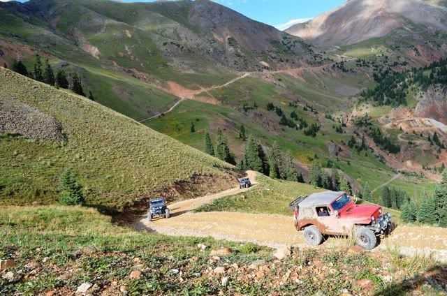
About 1/2 way up the Mineral Creek trail we turned right onto Poughkeepsie Gulch

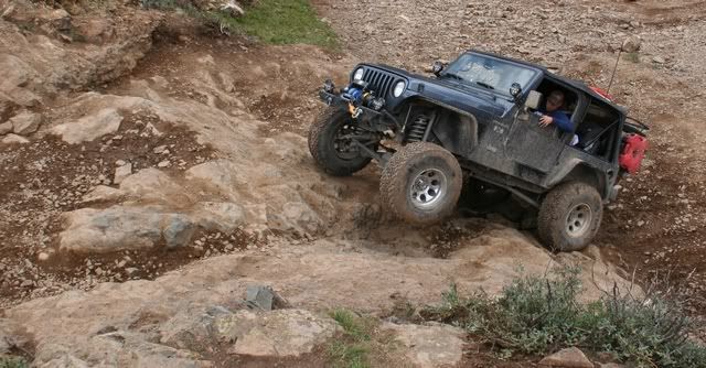
Until today most of the trails we have been on are of the fire road type. Very scenic but not much technical challenge. Mineral Creek has some tougher sections and Poughkeepsie Gulch has a genuine black diamond obstacle.

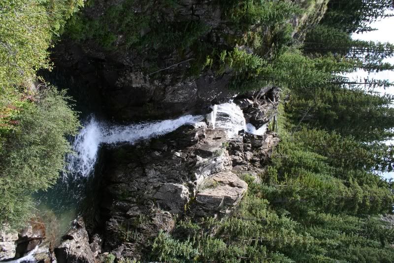
Waterfall near the start of Poughkeepsie Gulch
IMG_4856.jpg


This could easily be a magazine cover
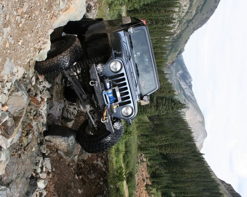
IMG_4871.jpg


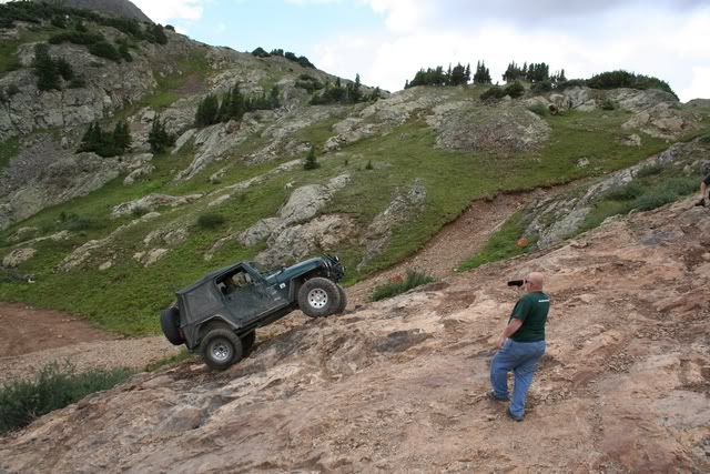
The Obstacle - the middle line
430337_509166555765507_1752728915_n.jpg


The Obstacle - line to the right
IMG_4888.jpg


The Obstacle - line to the left. Mike made it look easy and never spun his tires once.
IMG_4894.jpg


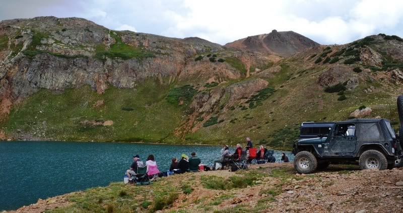
Lunch at Lake Como
DSC_0303.jpg


More Poughkeepsie Gulch photos can be seen here

To be continued...
 

FishPOET

Adventurer
Poughkeepsie Gulch ends at a 3 way intersection with Hurricane Pass and California Gulch. We took California Gulch

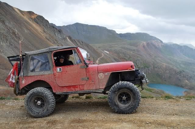
At California Pass 12,960'
DSC_0329.jpg


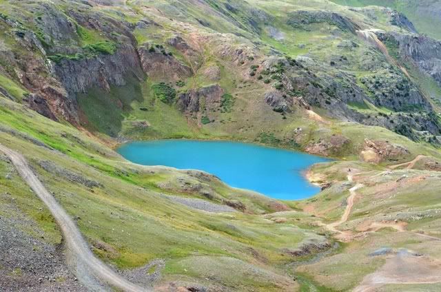
View of Lake Como from California Pass
DSC_0600.jpg


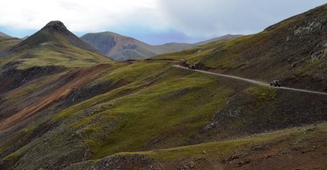
Trail from California Pass down into California Gulch
DSC_0593.jpg


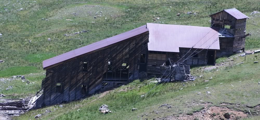
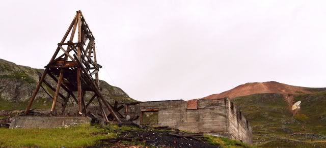
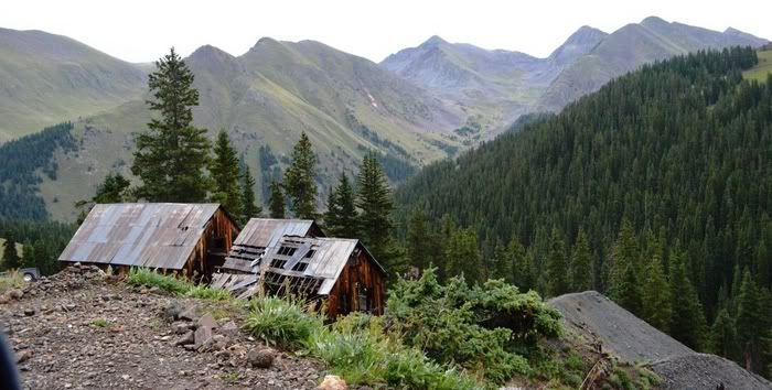
Frisco Mill in California Gulch
DSC_0561.jpg


More California Gulch photos can be seen here

To be continued...
 

bobDog

Expedition Leader
Nice report....I grew up wheeling all over that area when Black Bear was 2 way and you took your chances. Wow thanks.


Sent from my LS670 using Tapatalk 2
 

FishPOET

Adventurer
Heading down California Gulch we took the fork to the right which put us into Placer Gulch

Looking down Placer Gulch towards California Gulch
IMG_4910.jpg


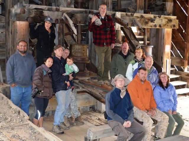
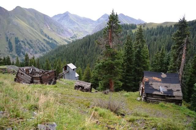
Sound Democrat Mill is the highlight of Placer Gulch
IMG_1096a.jpg


DSC_0440.jpg


DSC_0437.jpg


There are a couple of different tramways located in Placer Gulch
DSC_0455.jpg


The climb out of Placer Gulch
DSC_0477.jpg


More Placer Gulch photos can be seen here

To be continued...
 
Last edited:

OverlandZJ

Expedition Leader
After Gold King Basin we made our way back down to CO145 and then North over to the western edge of Telluride. We took Airport Road almost to the airport to find our last trail of the day Last Dollar Road

The rain was coming down hard on the way out of town but let up after a few minutes.

Lunch stop. We could see rain all around us but we were in the eye of the storm. After 1/2 hour the lighting and thunder started and it turned out to be quite a show.
DSC_0294.jpg


The quote of the day "We started the day on the Million Dollar Highway and ended on Last Dollar Road"


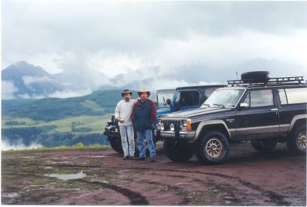
Last Dollar... brings back memories, particuarly the storms. Pic from 98...

Love the QOTD..


mtntop.jpg
 

FishPOET

Adventurer
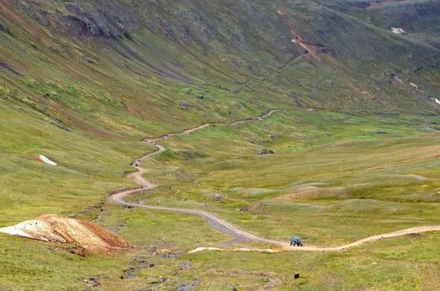
At the bottom of Picayne Gulch we turned left on CR2. We took CR2 to California Gulch. We took California Gulch to the 3 way intersection with Poughkeepsie Gulch and Hurricane Pass. We took Hurricane Pass

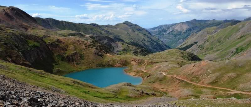
Lake Como from Hurricane Pass
DSC_0615.jpg


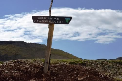
Hurricane Pass 12,730'
DSC_0617.jpg


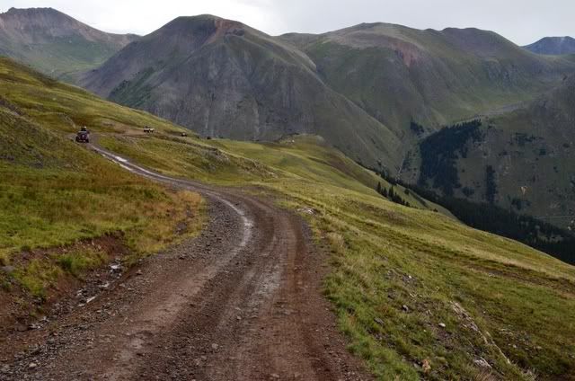
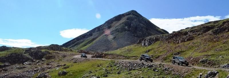
Hurricane Pass trail
DSC_0632.jpg


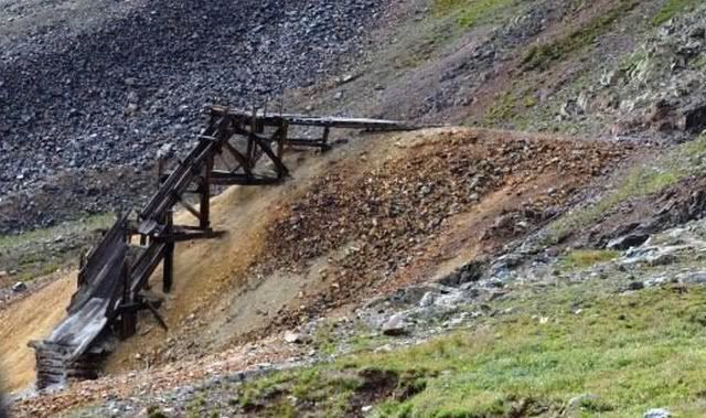
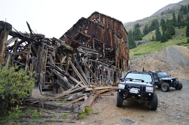
Old mine structure
DSC_0766.jpg


More Hurricane Pass photos can be seen here

To be continued...
 

FishPOET

Adventurer
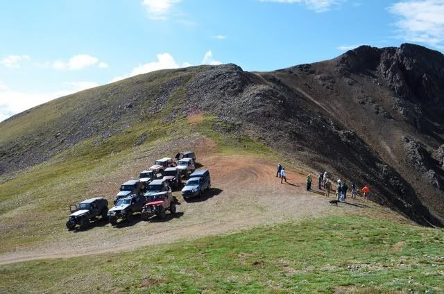
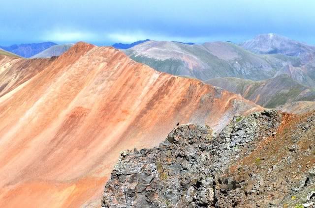
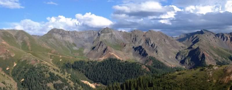
There is a spur off Hurricane Pass that leads to two overlooks. The first overlook has vistas of the top of Eureka Gulch. The second overlook climbs to over 13,200' and has spectacular views of California Gulch, Gray Copper Gulch, Corkscrew Gulch, Ross Basin, Hurricane Peak, Hanson Peak and more. We took the Hurricane Pass Overlook Trail.

13,200'
DSC_0703.jpg


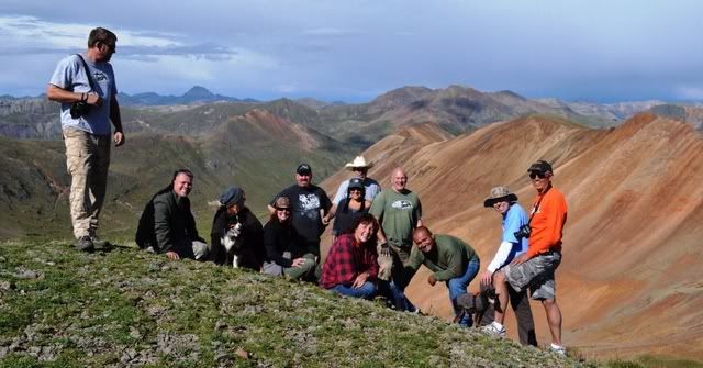
We climbed another 100' to a little peak for a group picture at over 13,300'
DSC_0724.jpg


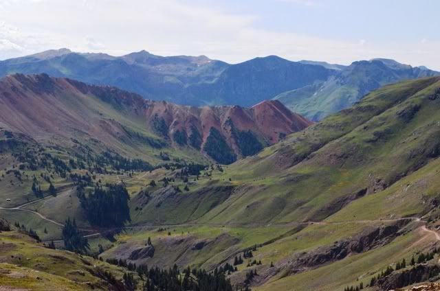
Looking at California Gulch
DSC_0692.jpg


Looking at Ross Basin & Grey Copper Gulch
DSC_0652.jpg


I highly recommend looking at the whole Hurricane Pass Overlook album

To be continued...
 

Glenn C

Observer
you sir are living my (winning the lottery explore the us by 4x4 ) dream i love your set up and hope you enjoy this trip even half as much as
I love reading it
 

FishPOET

Adventurer
After coming down Hurricane Pass we took the right fork to Corkscrew Gulch and quickly took the next right fork to Gray Copper Gulch

The trail in
DSC_0779.jpg


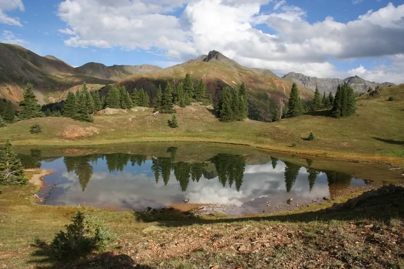
The view West
IMG_4933.jpg


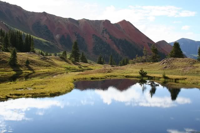
The view East (my favorite photo of the trip)
IMG_4946.jpg


More Gray Copper Gulch photos can be seen here

To be continued...
 

FishPOET

Adventurer
After visiting the lakes on Gray Copper Gulch we turned around and headed back to Corkscrew Gulch. We took Corkscrew Gulch West to Highway 550. It was the last trail of the day.

DSC_0854.jpg


DSC_0856.jpg


DSC_0863.jpg


DSC_0878.jpg


To be continued...
 

Smksignals

Explorer
You know a trip is epic when it take multiple days to post the report. Thanks for the pix Doug. Looks like an amazing time.
 

FishPOET

Adventurer
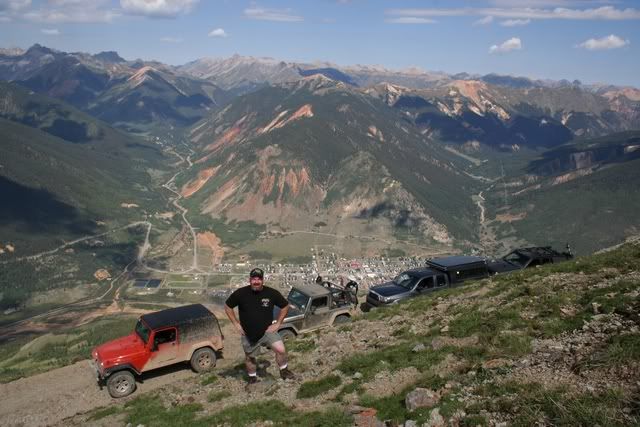
On Saturday August 11 we were down to 5 rigs as many of our group had started to head for home. Our first trail of the day was Kendall Mountain

Molas Pass & Molas Lake from Kendall Mountain
IMG_4974.jpg


Silverton & the Million Dollar Highway from 12,700' on Kendall Mountain
IMG_4969.jpg


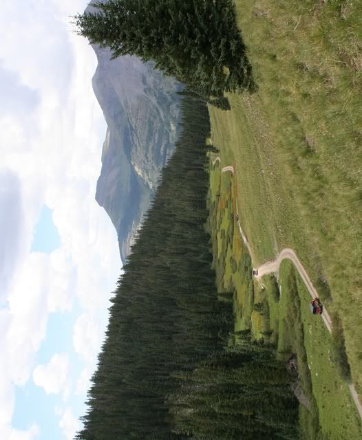
Meadow on Kendall Mountain
IMG_4987.jpg


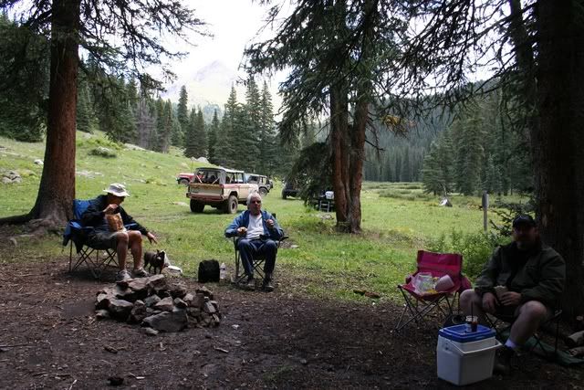
Just another boring lunch location. Nothing to see here :)
IMG_4989.jpg


More Kendall Mountain photos can be seen here

To be continued...
 

Forum statistics

Threads
188,178
Messages
2,903,418
Members
229,665
Latest member
SANelson
Top