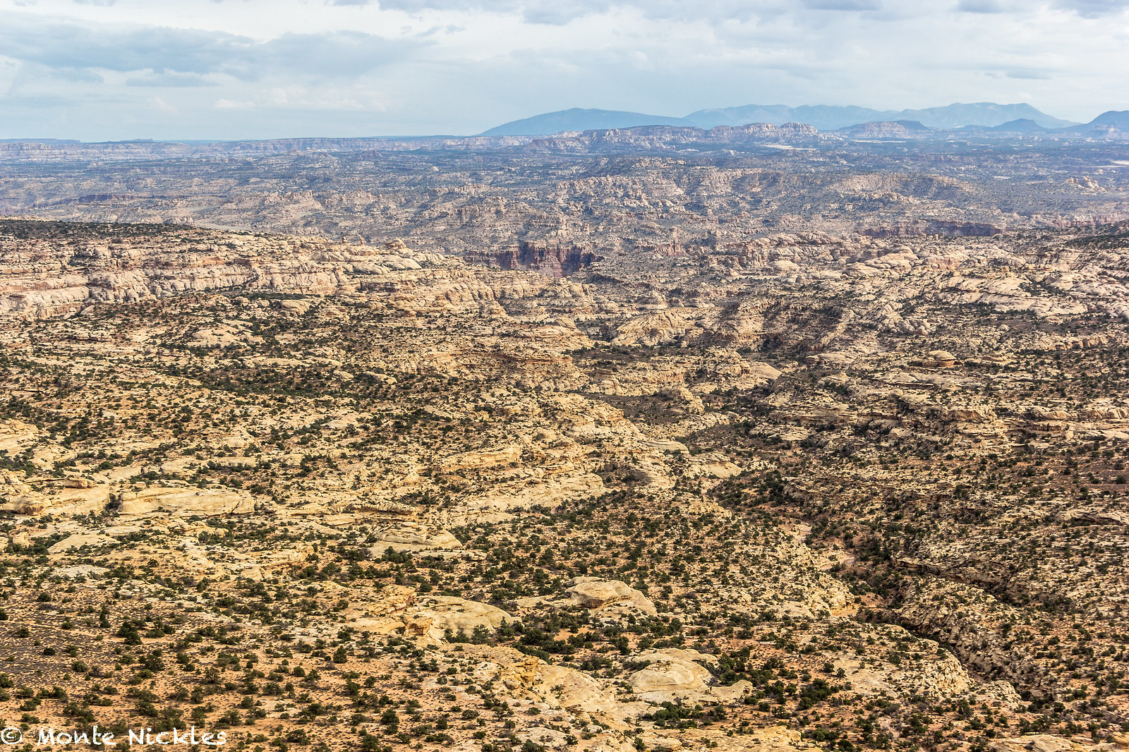
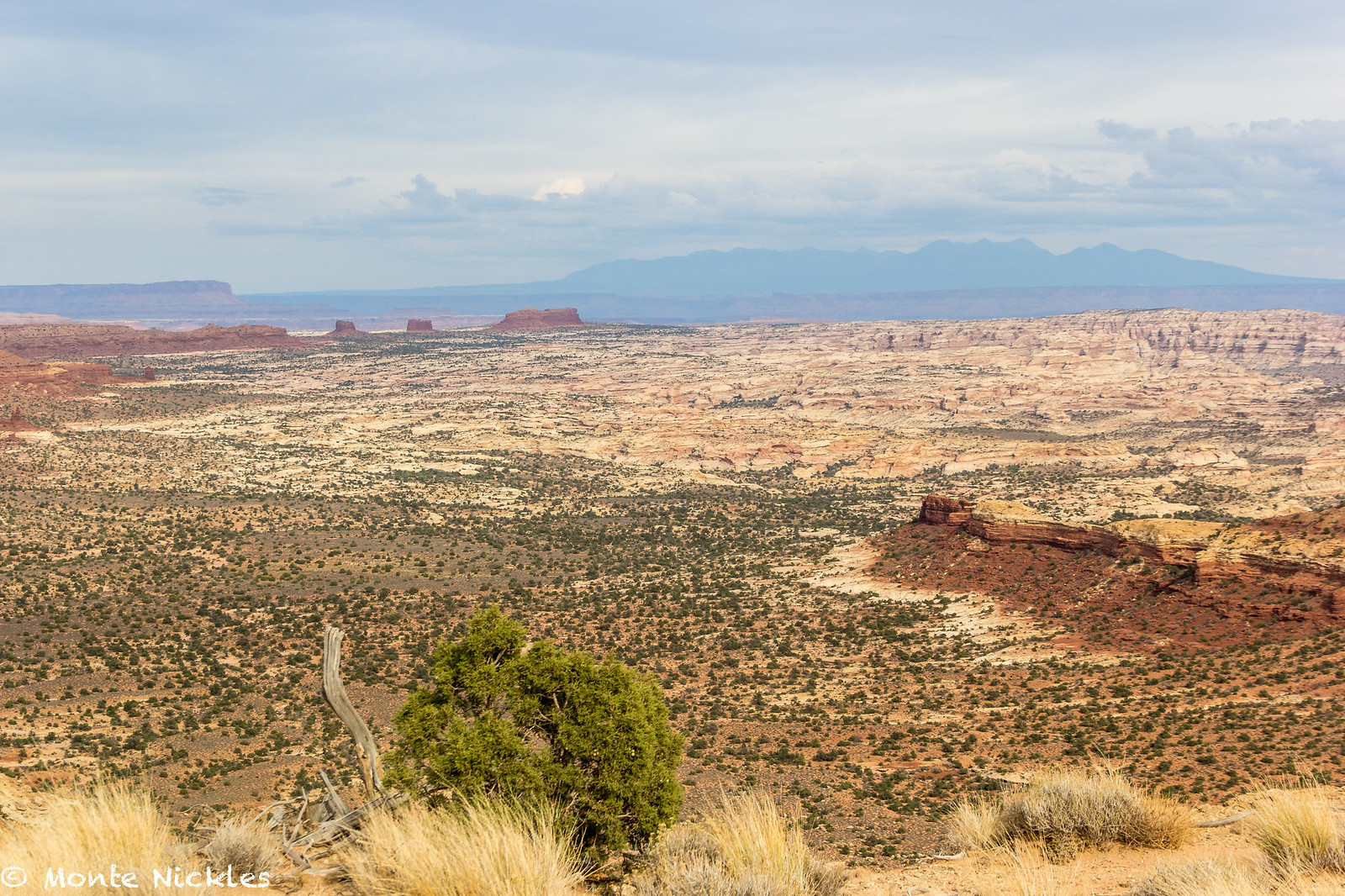
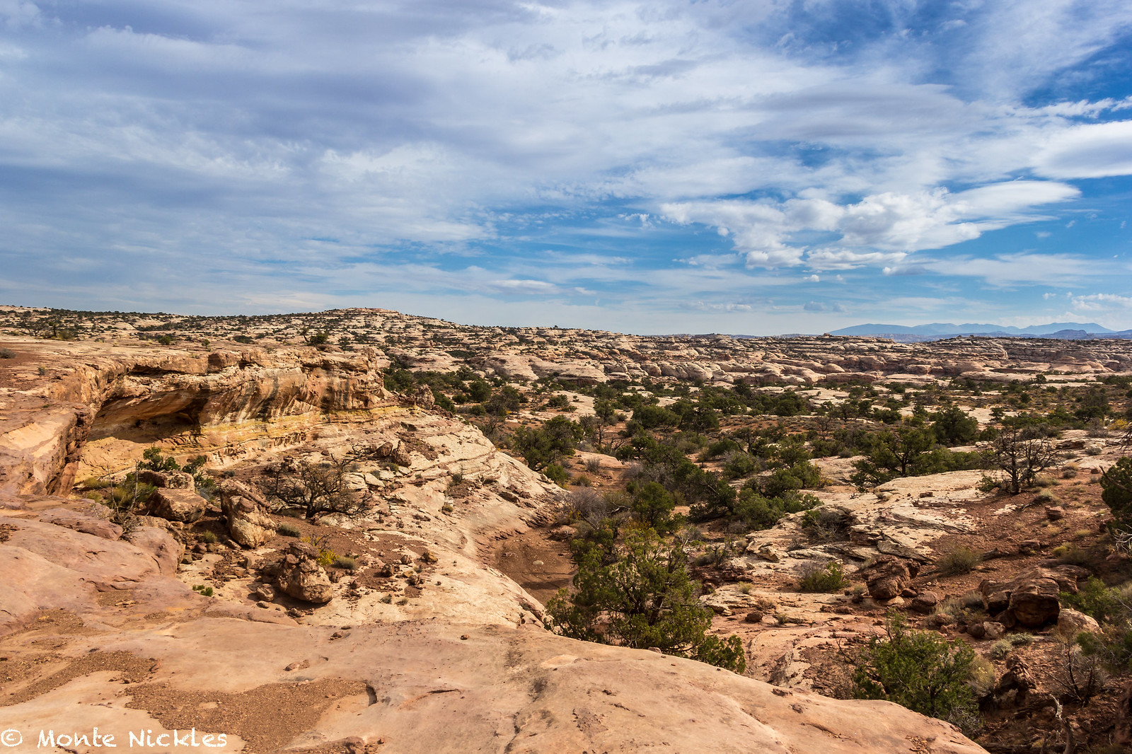
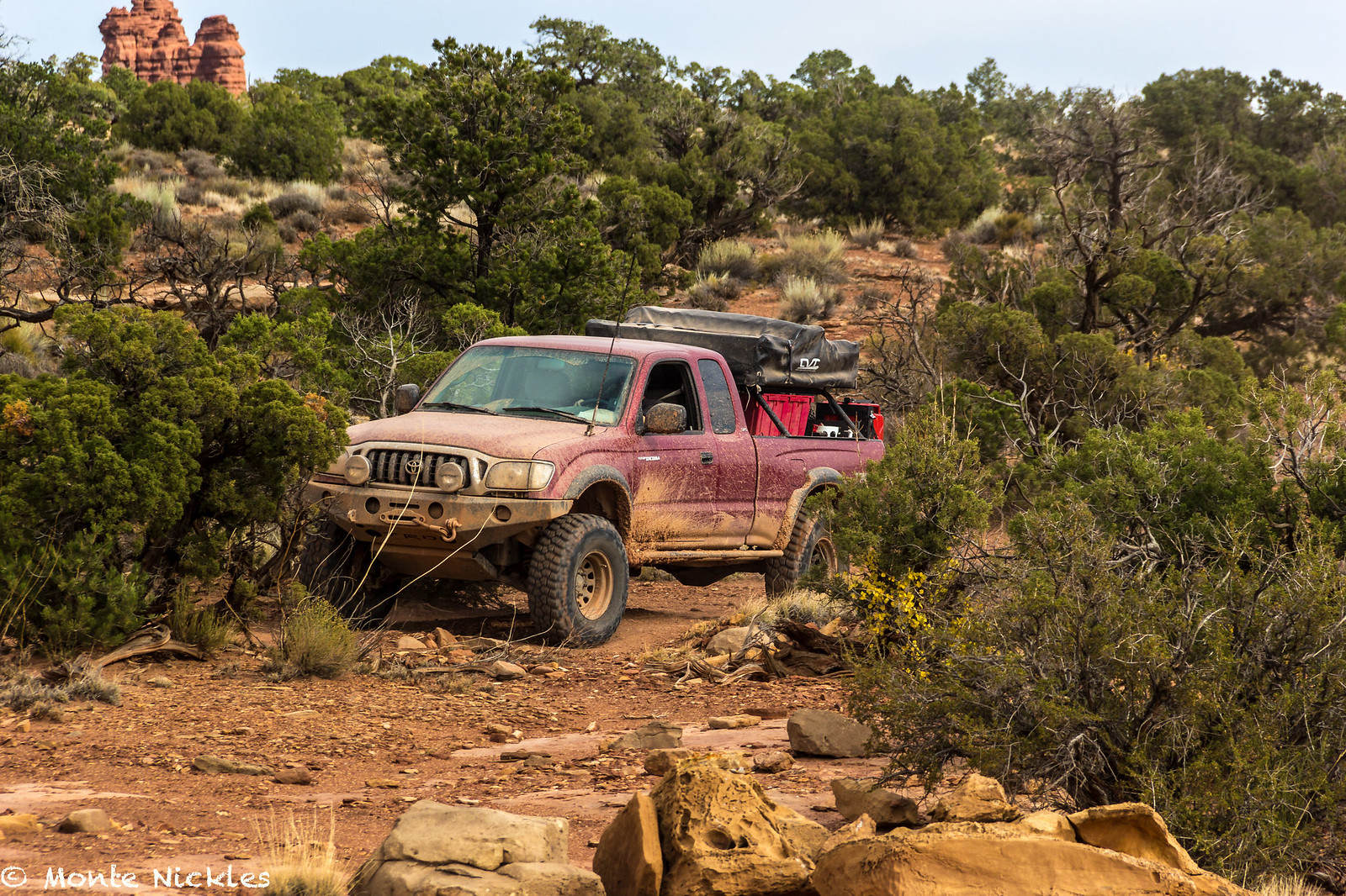
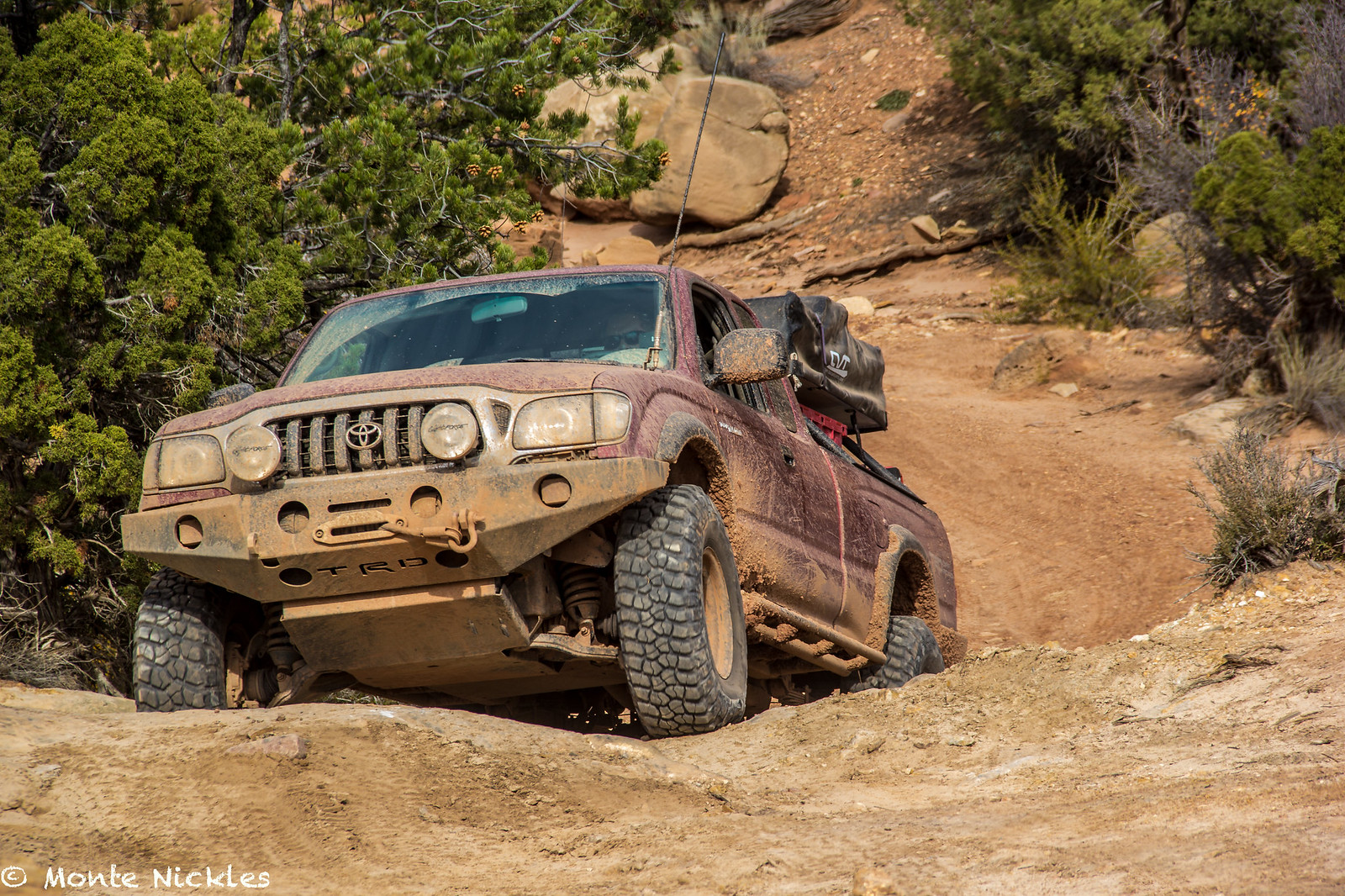
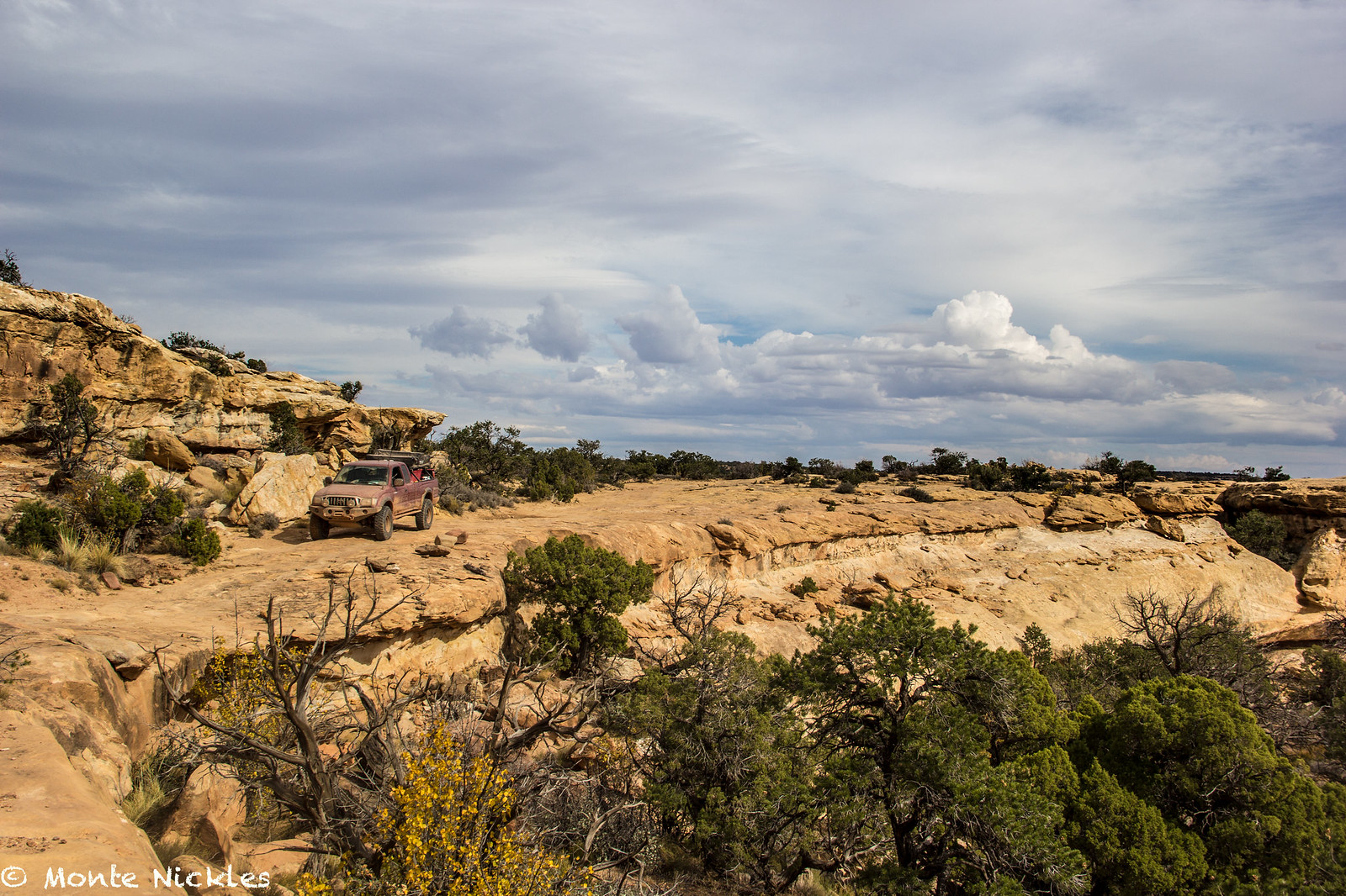
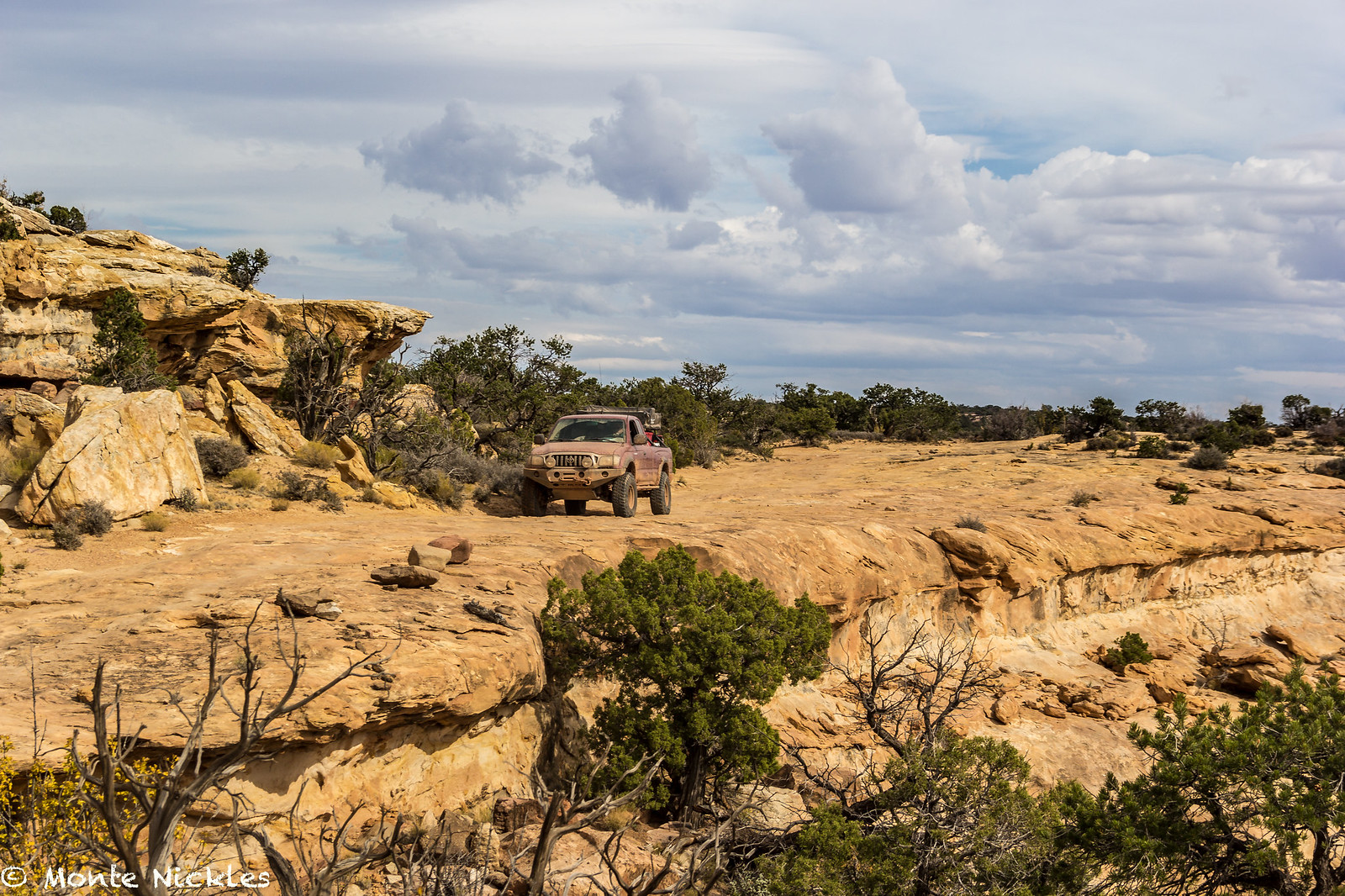
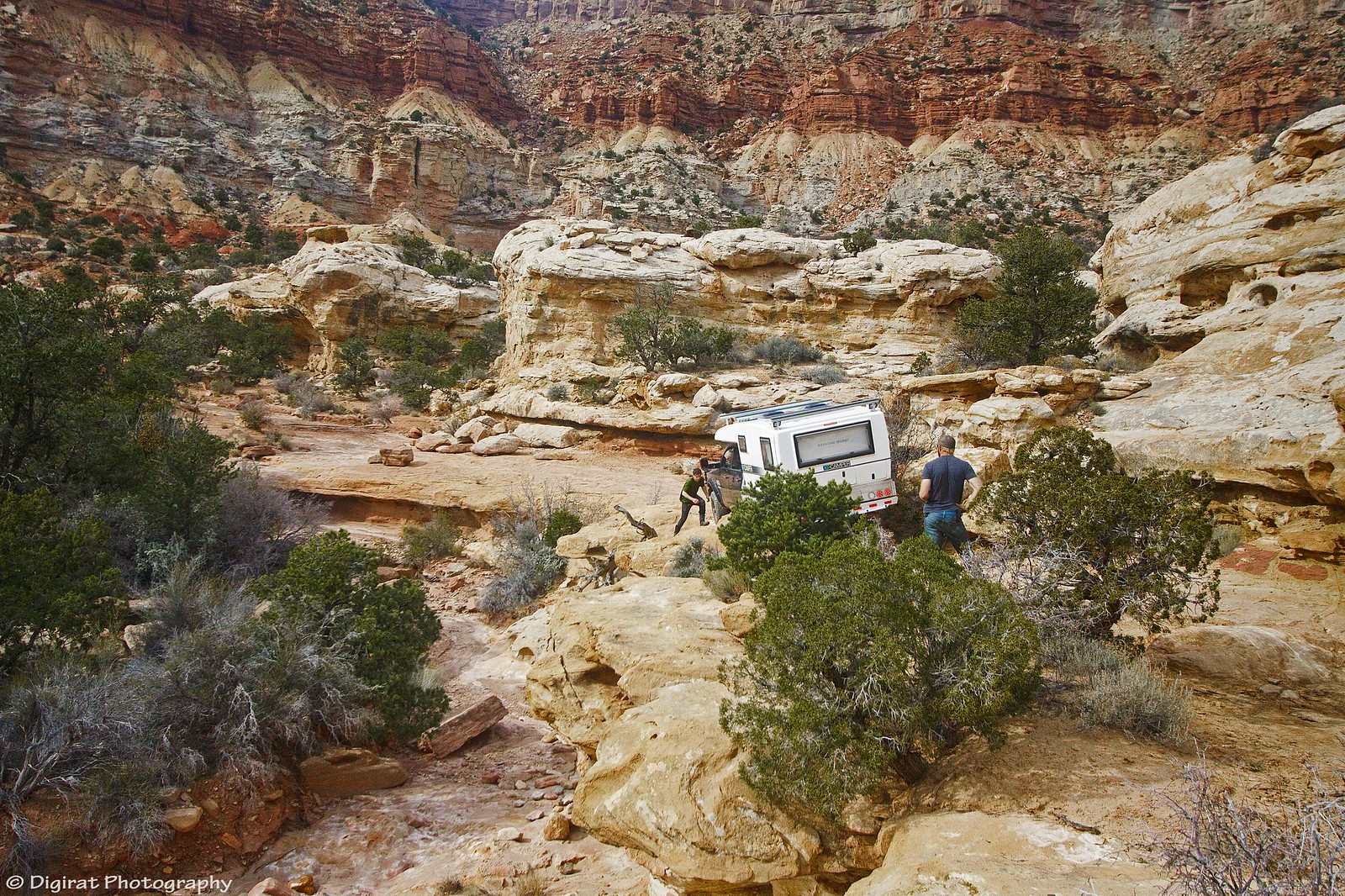
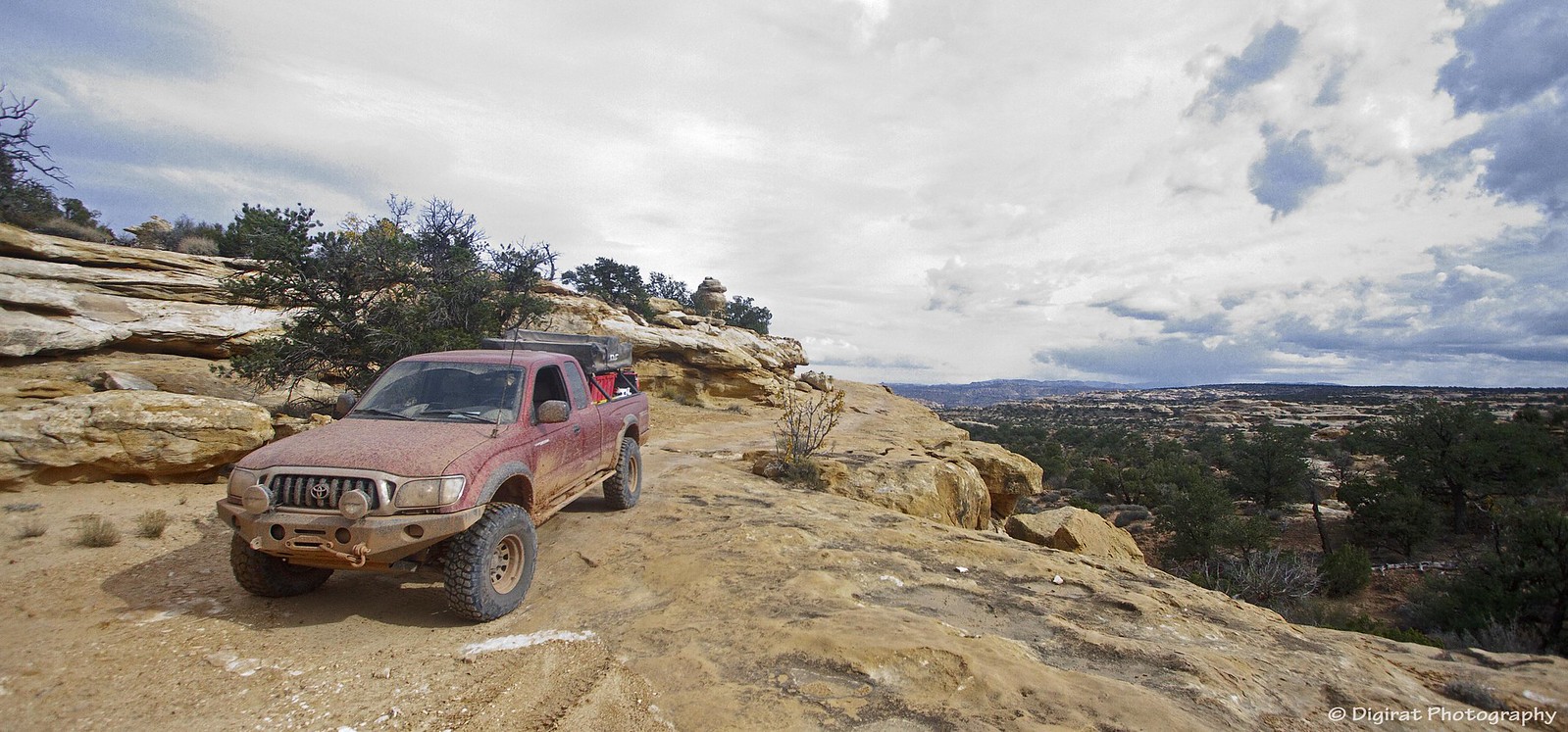
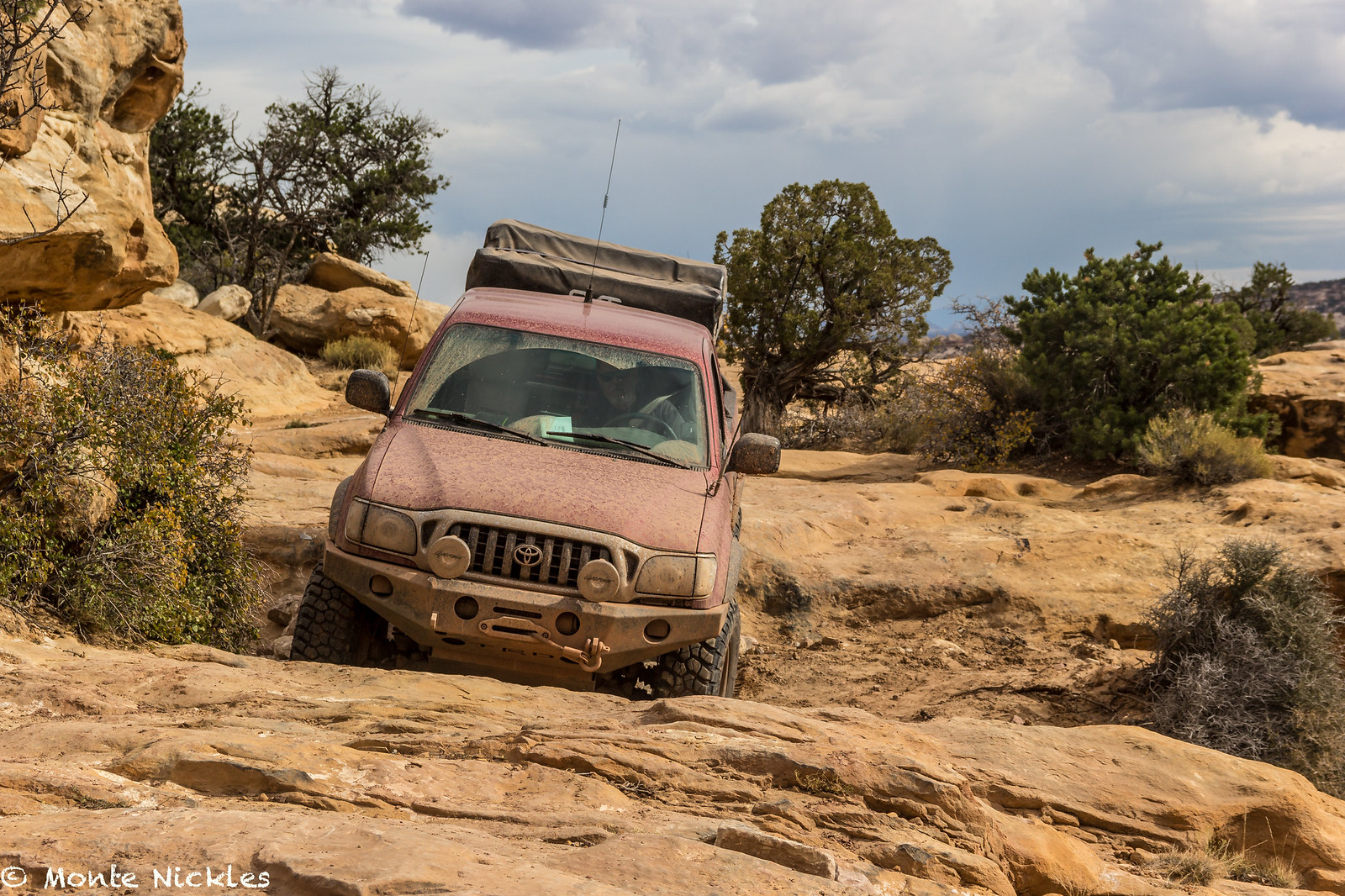
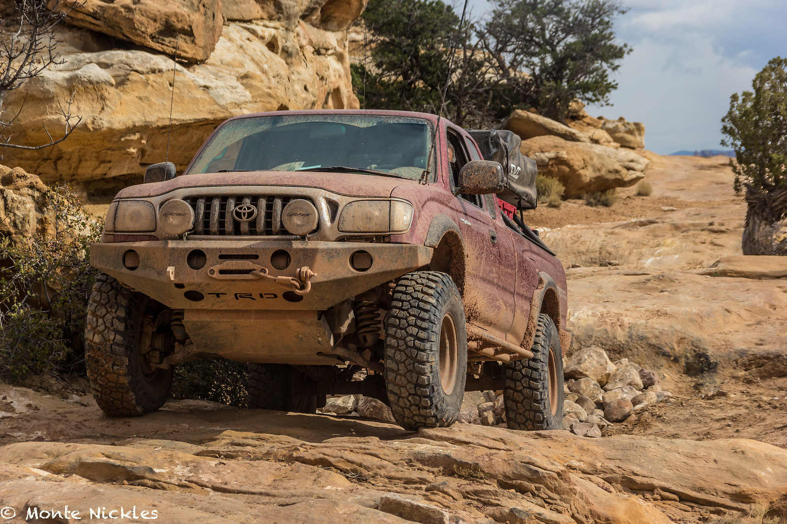
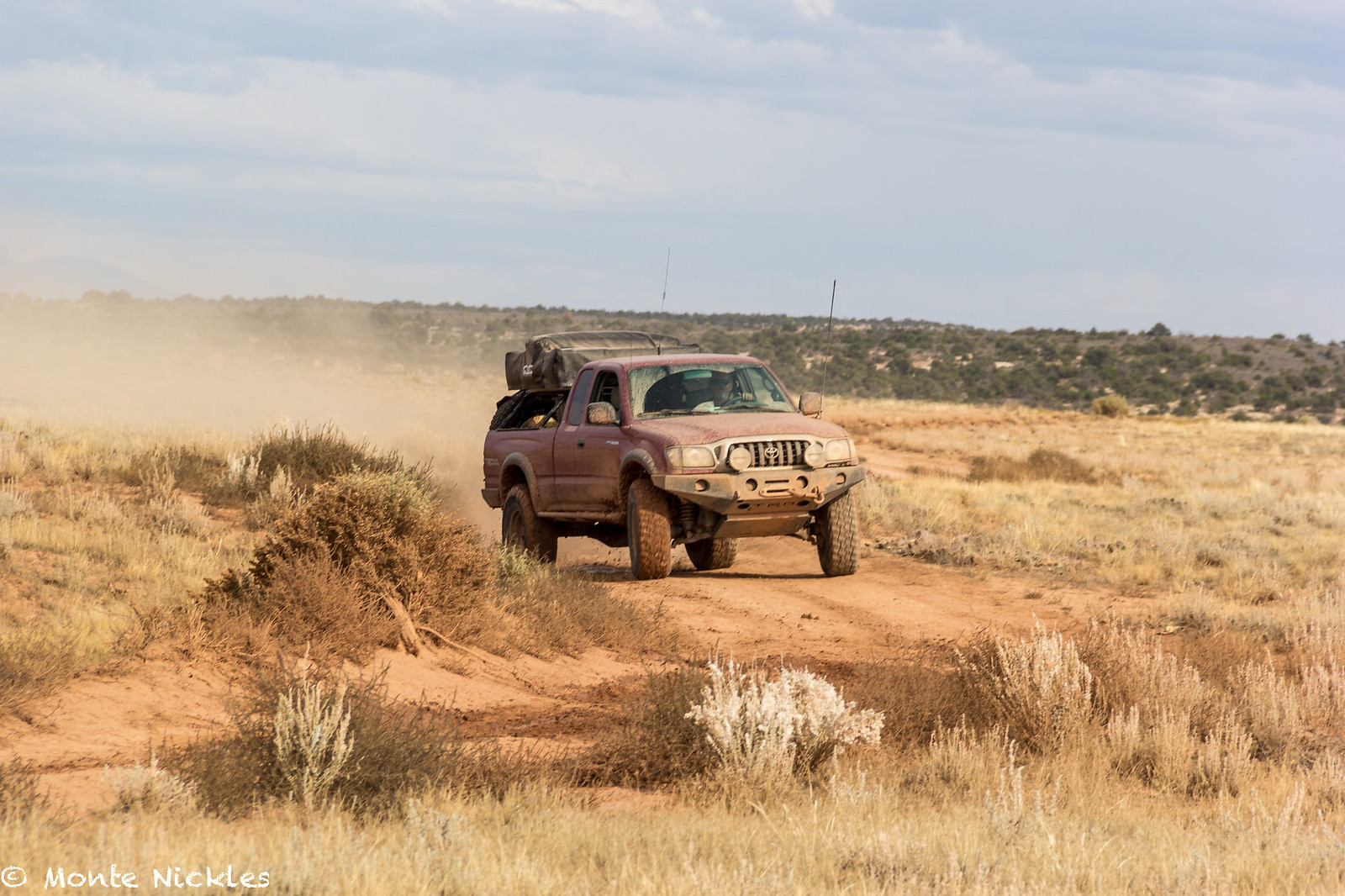
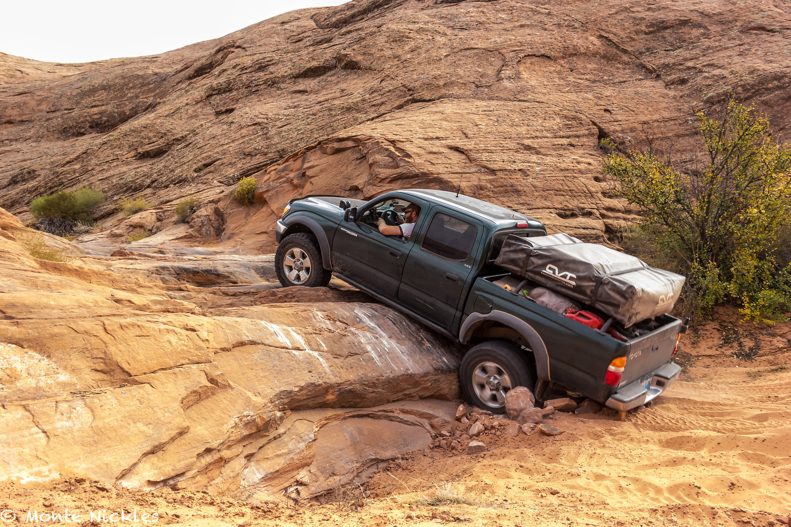
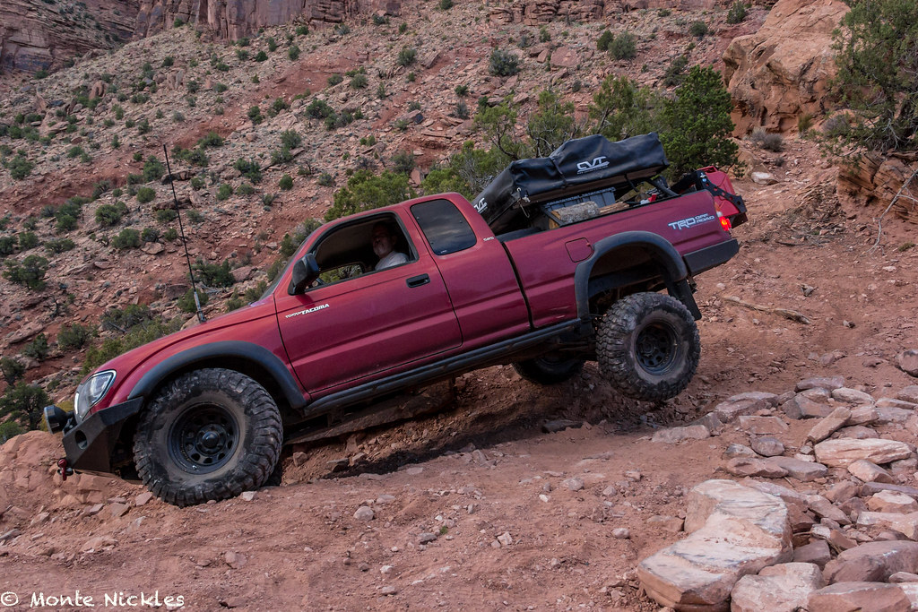
At the intersection we once again turned north to head up Lands End and Flint trail to exit The Maze from the North, the original way we had entered. Despite it being our 3rd time here, I still had to take photos which was fun and I let Devin drive to Flint.
 M~D~U-20.jpg
 by
Monte Nickles Photos, on Flickr
 M~D~U-21.jpg
 by
Monte Nickles Photos, on Flickr
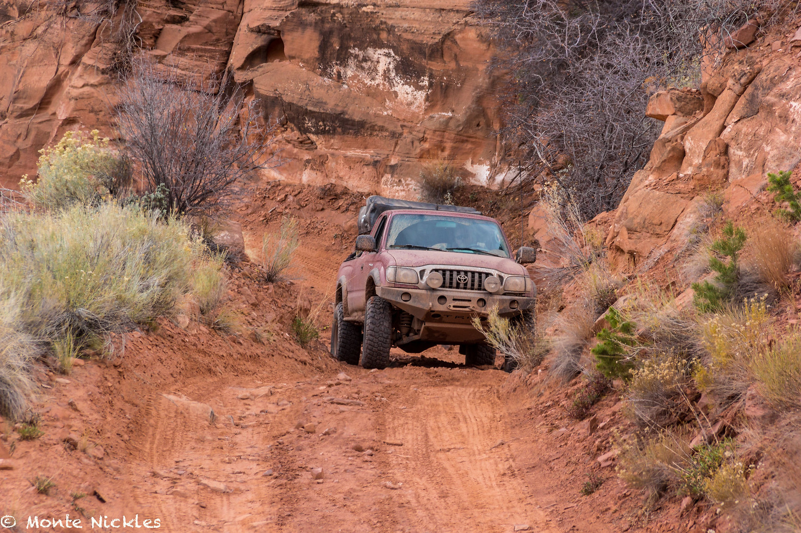
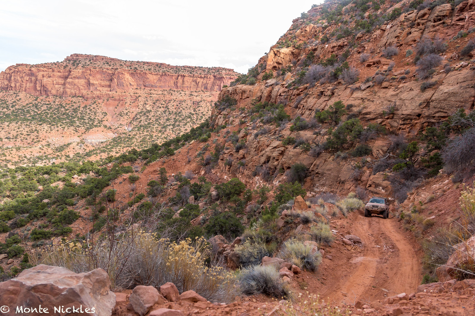
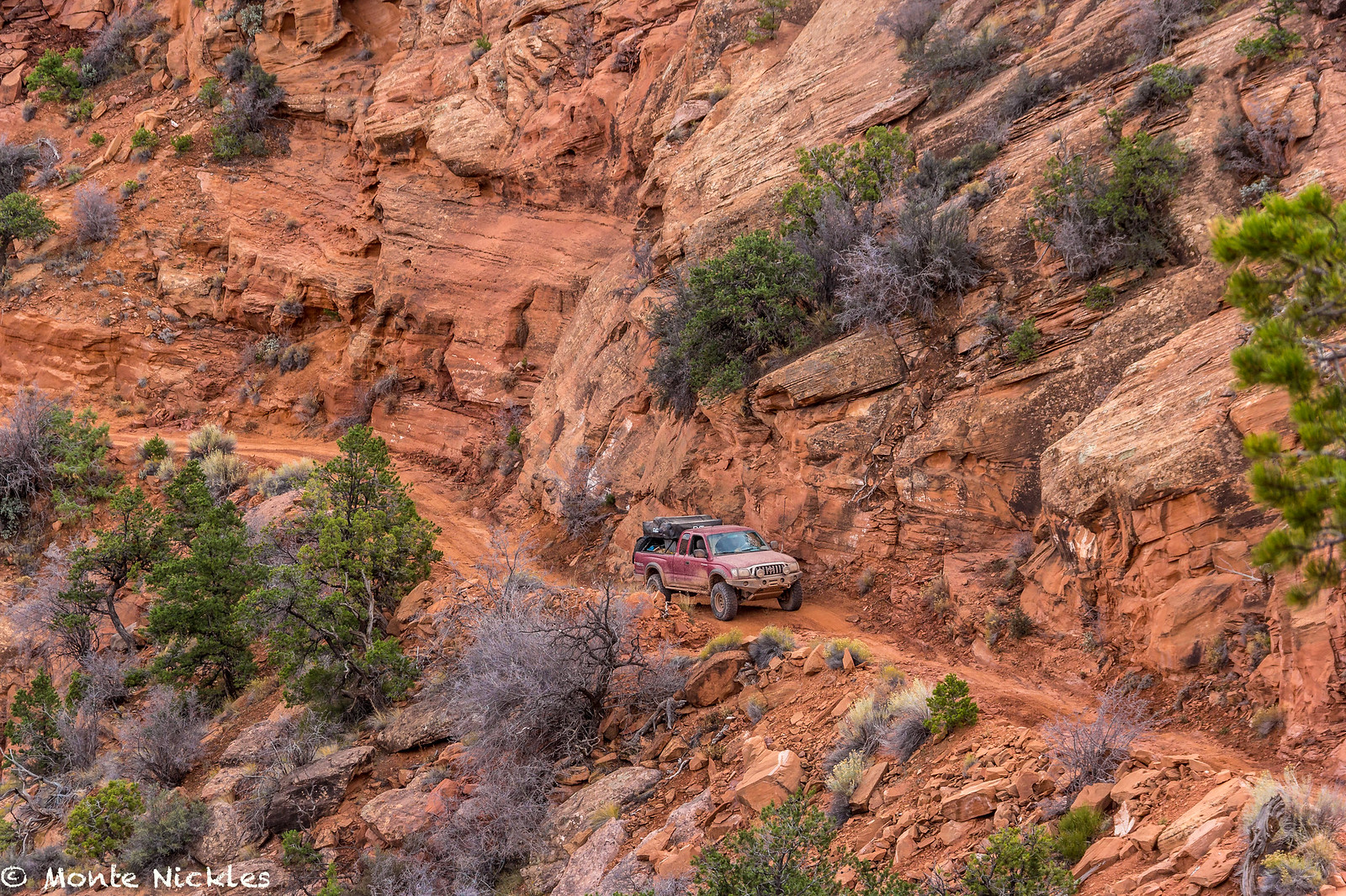
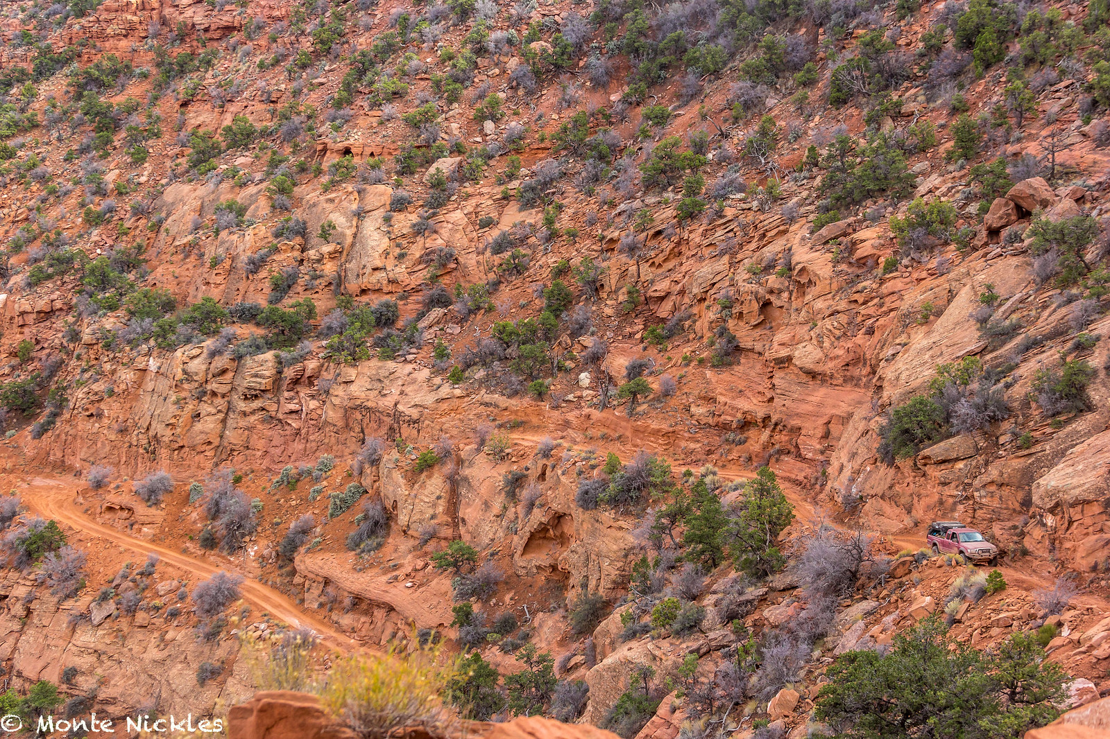
At Flint, Devin swapped back to passenger as she didn't want to drive up the steep switch backs.
But we had no problems going up the very cool road.
 M~D~U-22.jpg
 by
Monte Nickles Photos, on Flickr
 M~D~U-23.jpg
 by
Monte Nickles Photos, on Flickr
 M~D~U-24.jpg
 by
Monte Nickles Photos, on Flickr
 M~D~U-25.jpg
 by
Monte Nickles Photos, on Flickr
 IMG_2663
 by
mike digirat, on Flickr
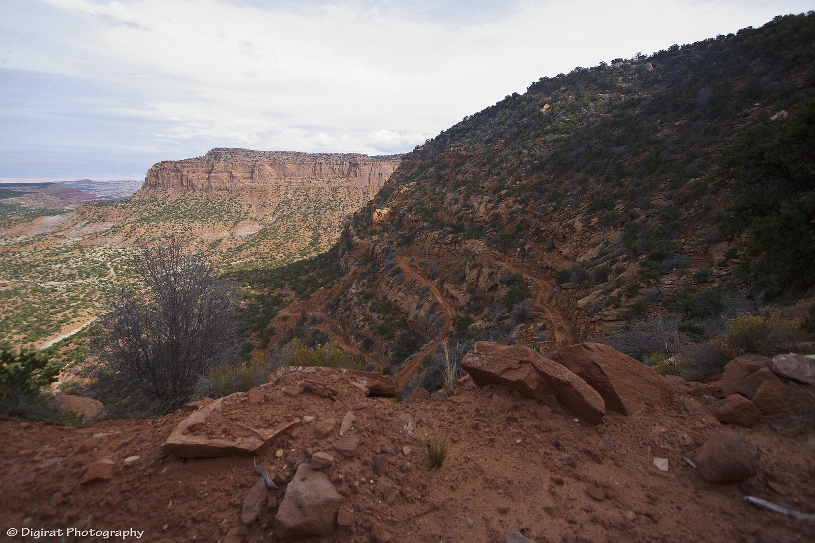
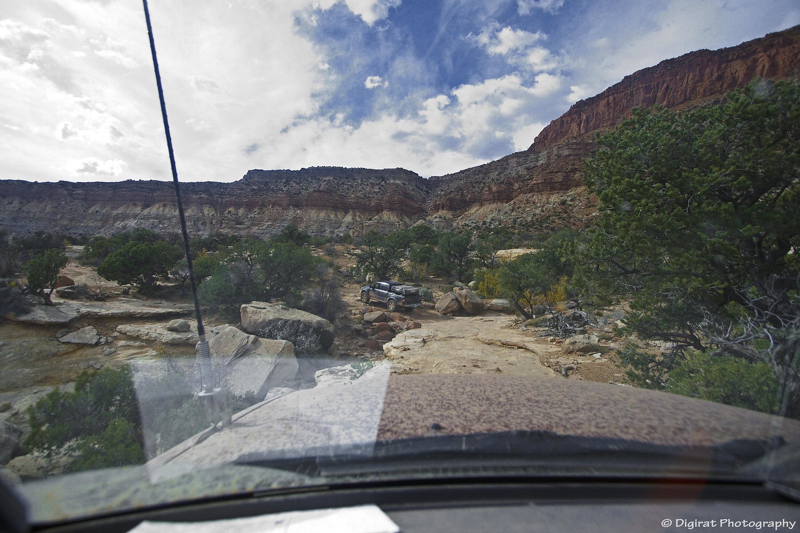
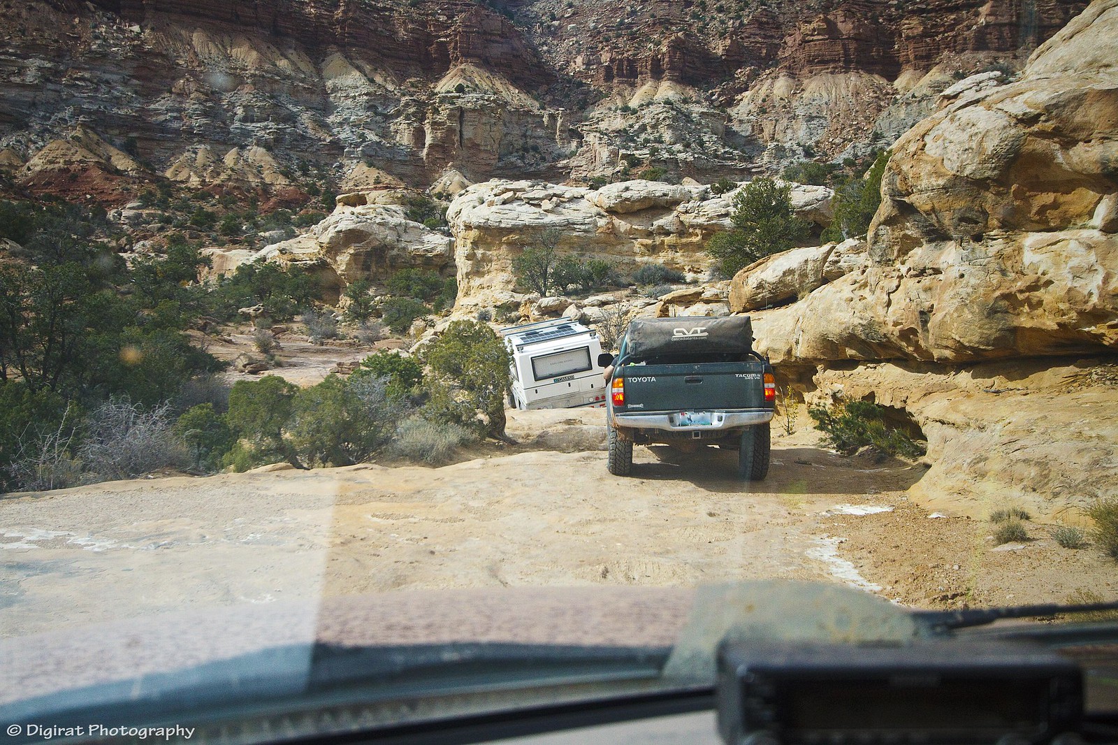
Hard to believe we had just driven and camped out this way a night ago.
 M~D~U-26.jpg
 by
Monte Nickles Photos, on Flickr
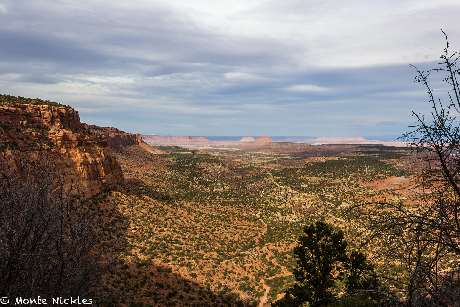
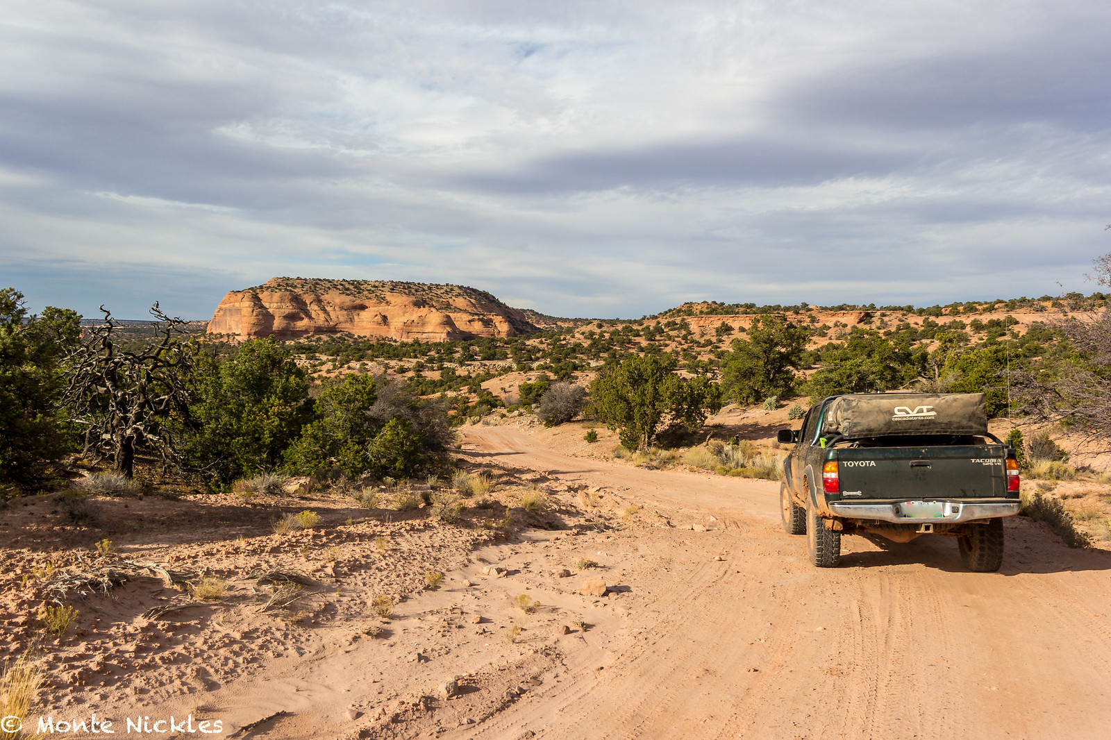
Back ontop of the Orange Cliffs, the road was easy to maintain decent speed. I still very much wanted to make it out to Panorama Point. But when we finally got to the turn off and realized it would be an 18 mile round trip detour. We realized time was once again not on our side..
“We will just have to come back!” Said Mike.
A worth reason to return to this ultra isolated area.
 M~D~U-27.jpg
 by
Monte Nickles Photos, on Flickr
On our way out we stopped at the Ranger station, mostly to use the restroom, but I went in to ask if there was a way directly to Green River that didn't involve the highway.
Lo and Behold! There was.
63 more miles of glorious Utah dirt to drive on before we would have to air up and hit the long road back home.
We also met one of the Law enforcement Rangers that we had seen earlier. He quickly went and got the head ranger so we could give her a road report on Poison Springs. All the Rangers were baffled at how much ground we had covered in 3 days.
“Well, they aren't really your typical trucks” I said. Which lead to a couple of the ranger going to poke around the trucks. Wish I had had Frankenstein, would have been hilarious.
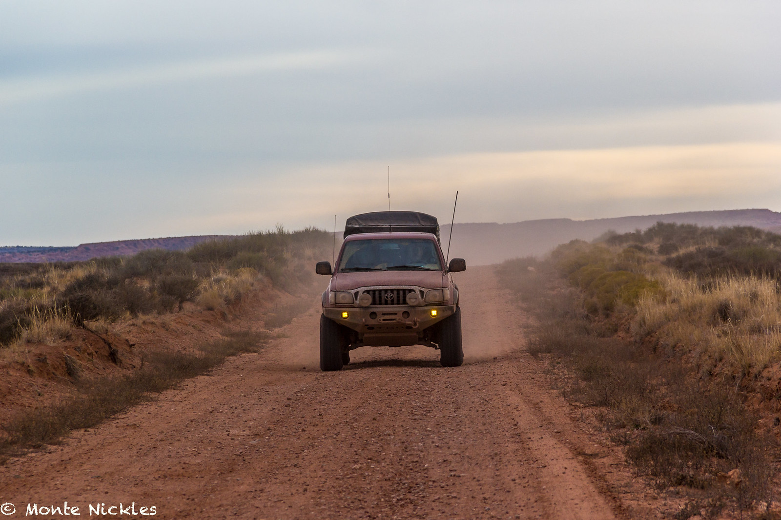
Needless to say, the daylight was fading on us again. This late in the year I wasn't used to the early setting sun yet. So we hit the long smooth road out of Hans Flat to find the road to Green River.
 M~D~U-28.jpg
 by
Monte Nickles Photos, on Flickr
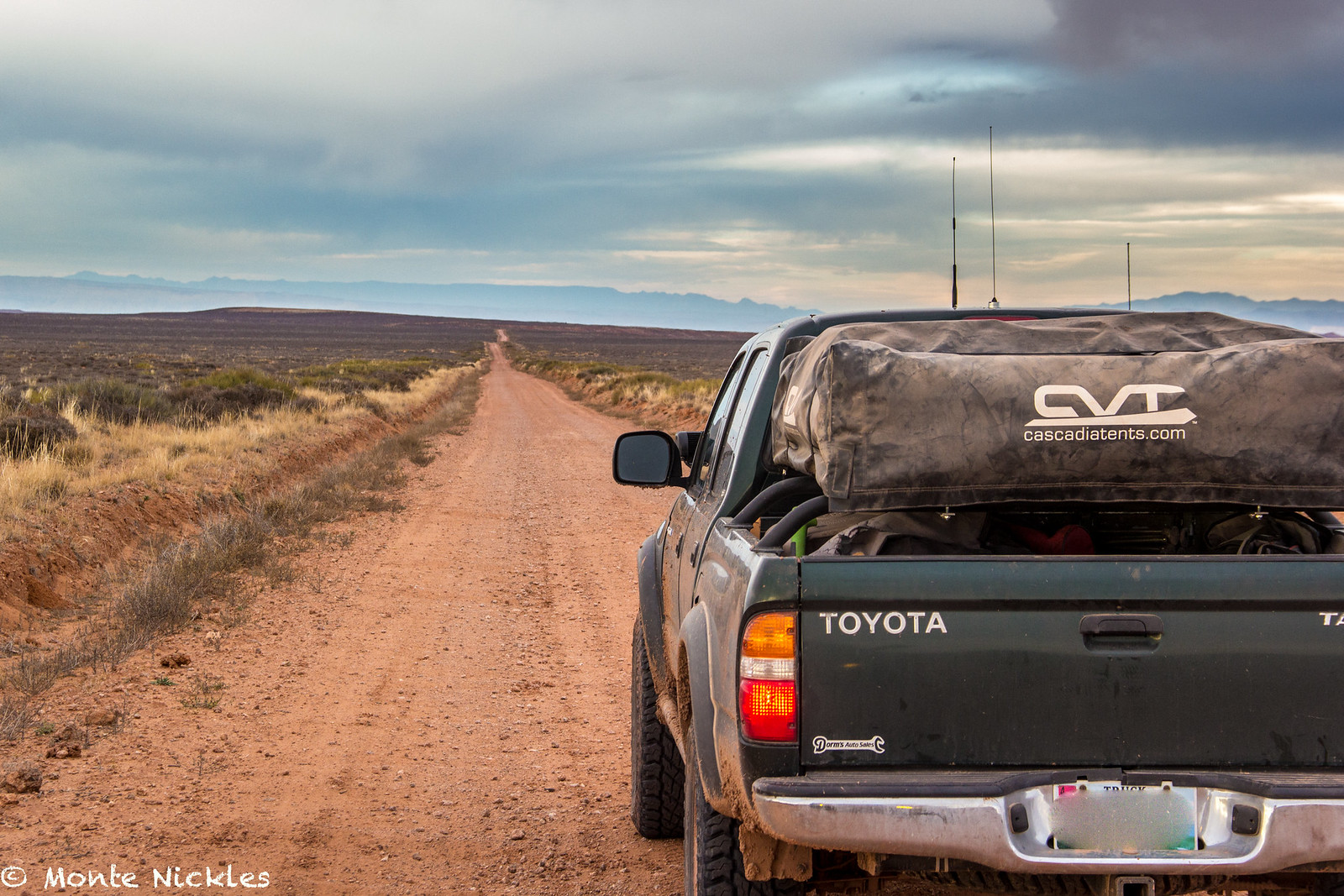
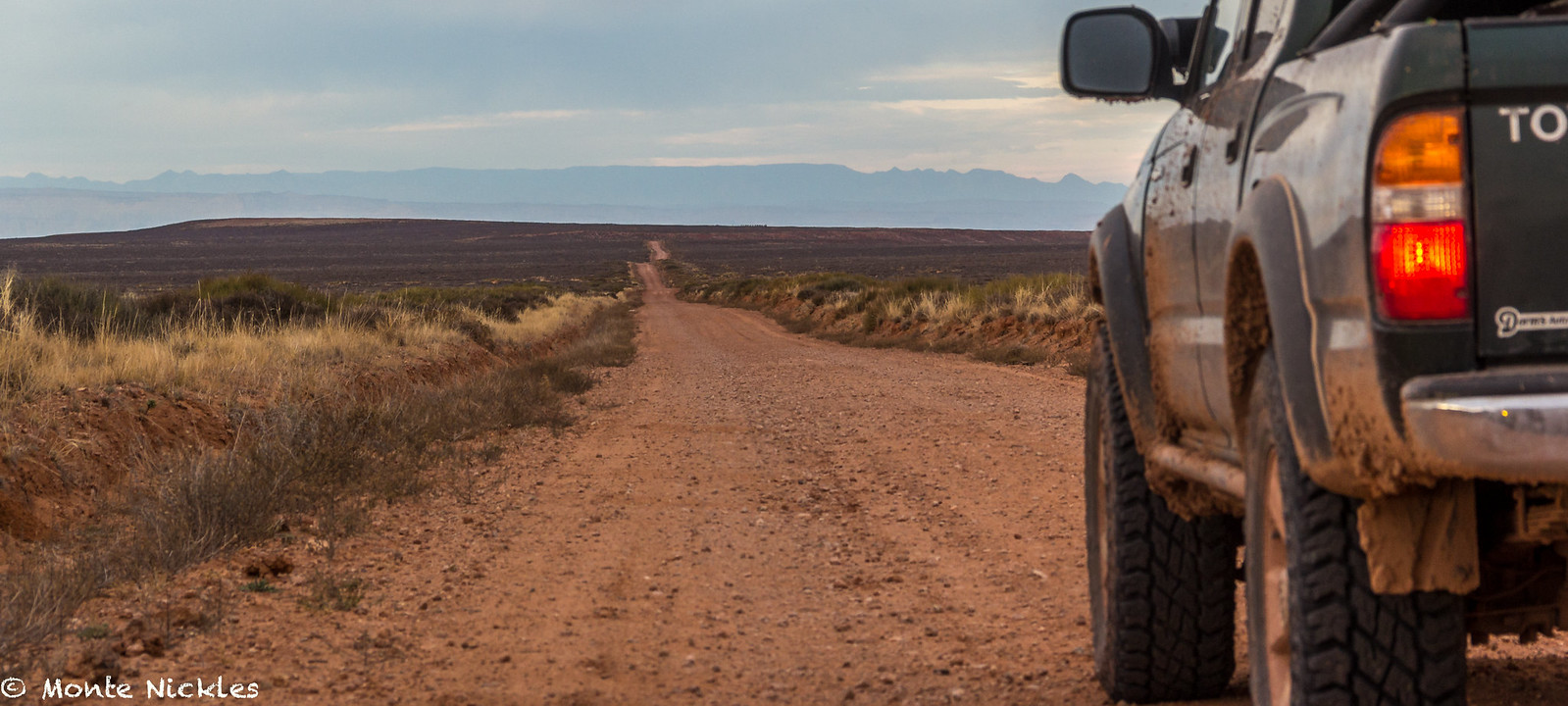
The road was long, obviously, but it was super easy to fly over. I mean, wouldn't you drive as fast as you could on a road like this?
 M~D~U-29.jpg
 by
Monte Nickles Photos, on Flickr
 M~D~U-31.jpg
 by
Monte Nickles Photos, on Flickr
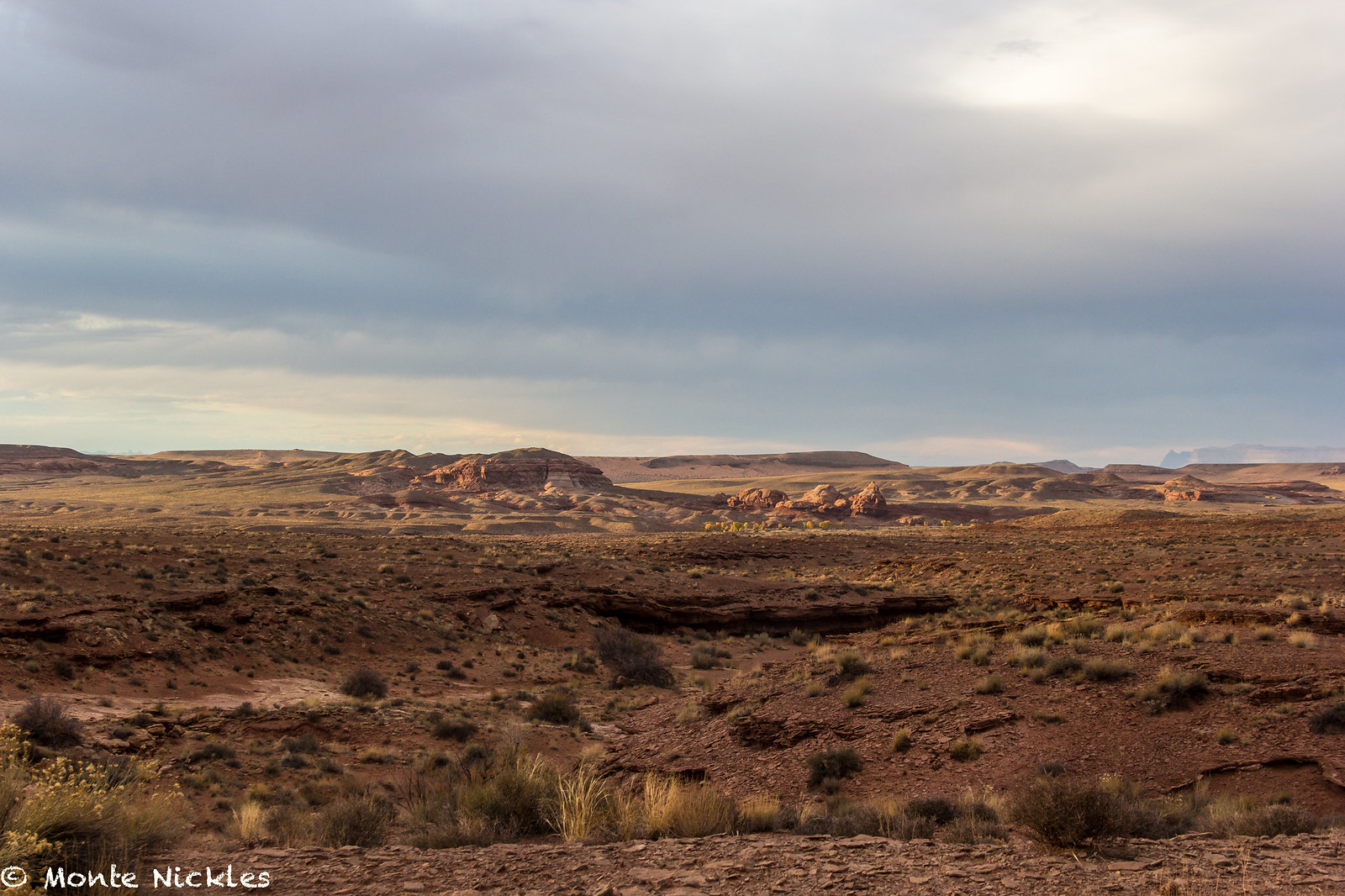
But even with our high cruising speed of 50-65mph on the road, we were no match for the sun.
 M~D~U-32.jpg
 by
Monte Nickles Photos, on Flickr
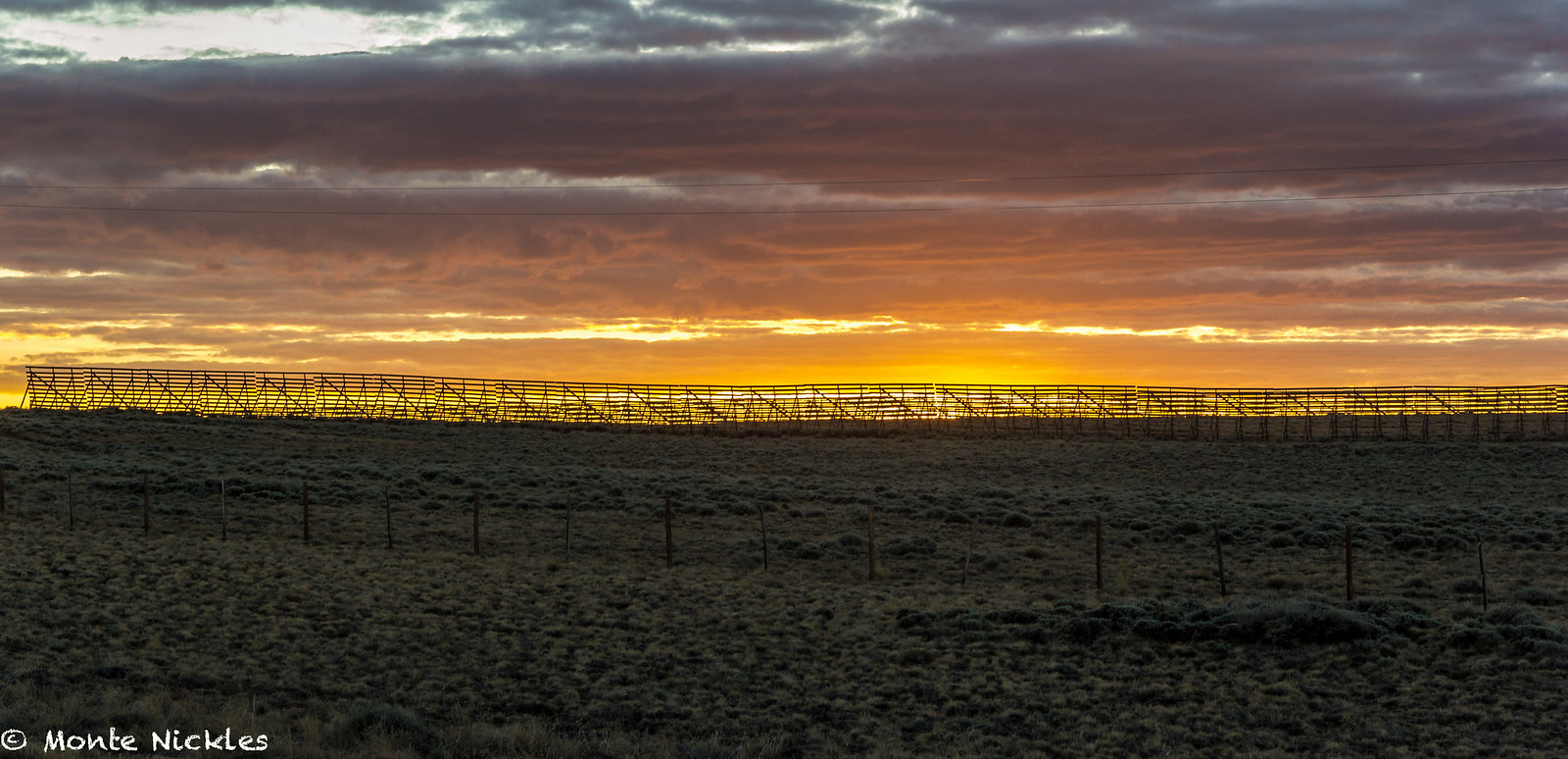
By the time we pulled into Green River our orignal plan was gone. We realized we would be camping another night but had absoultly no idea where.
So we hit the highway 191 North now it the pitch black and Devin poured over the GPS and APRS map to find us some BLM land.
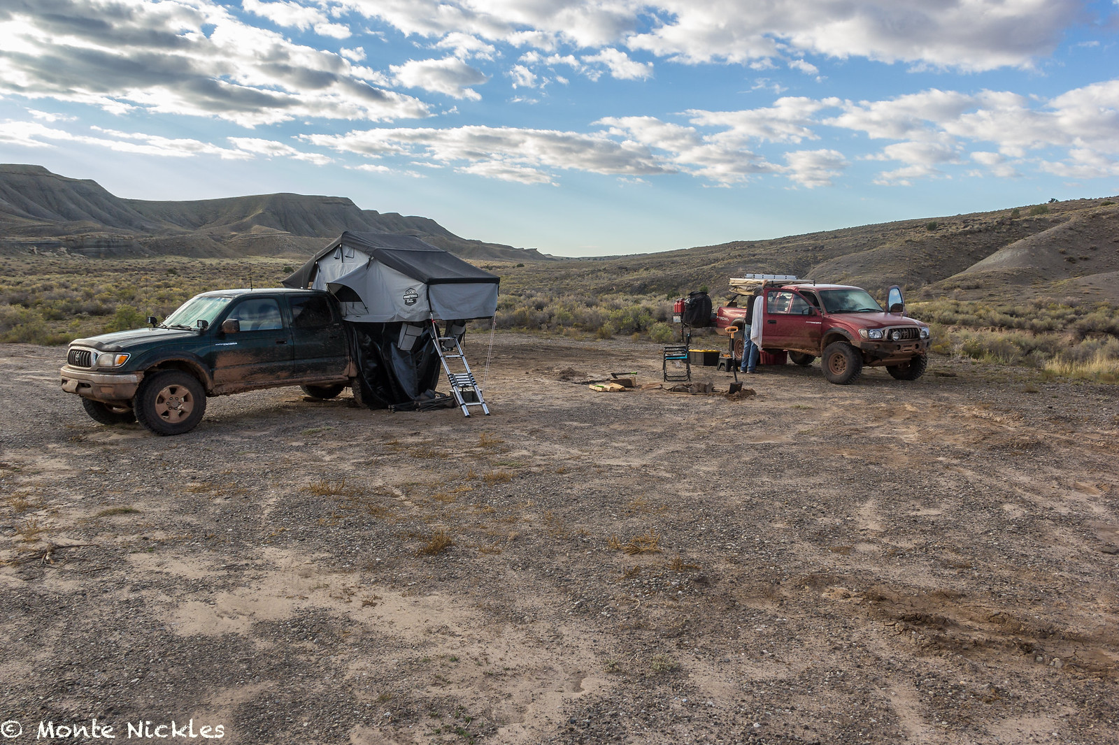
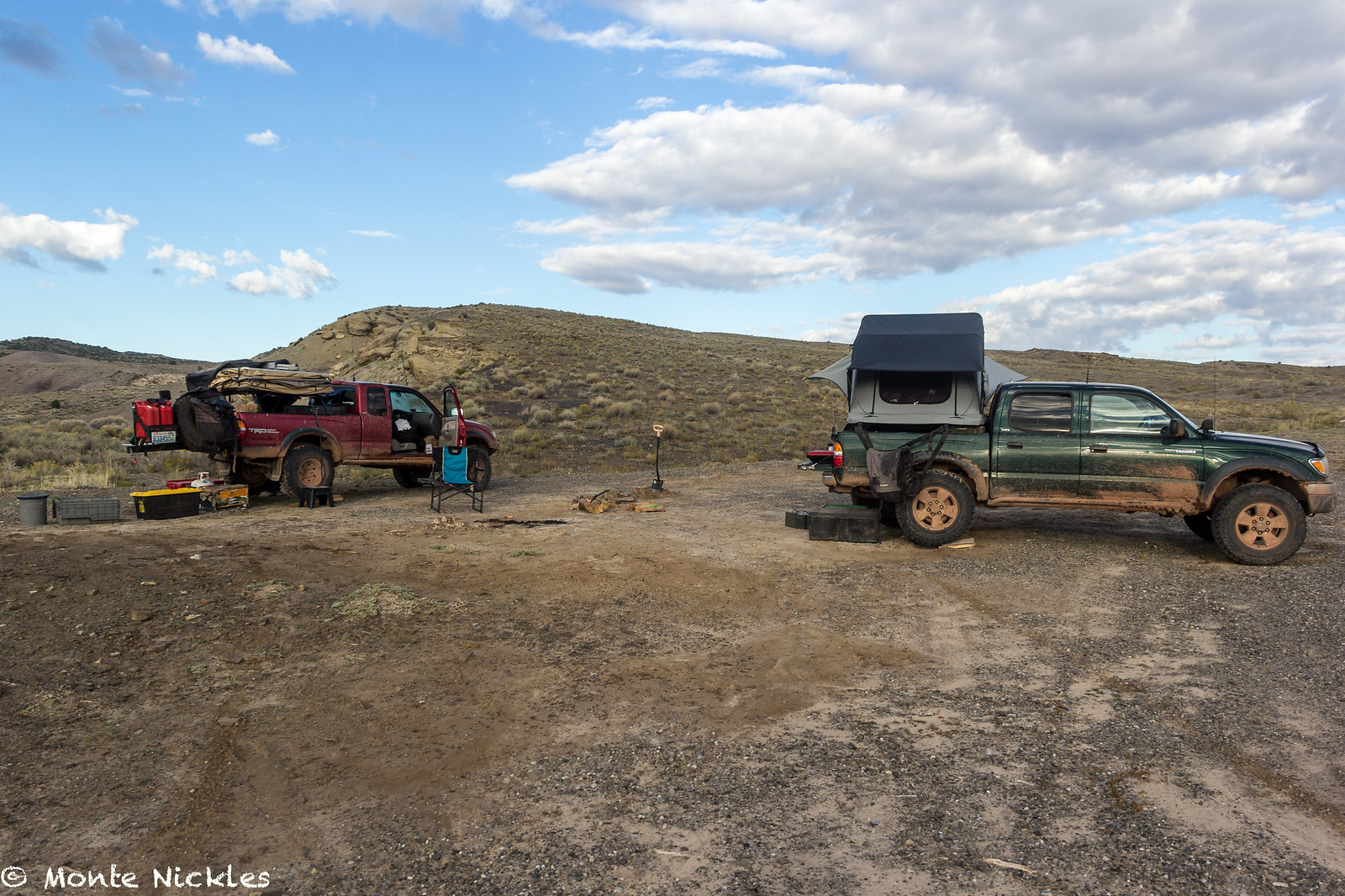
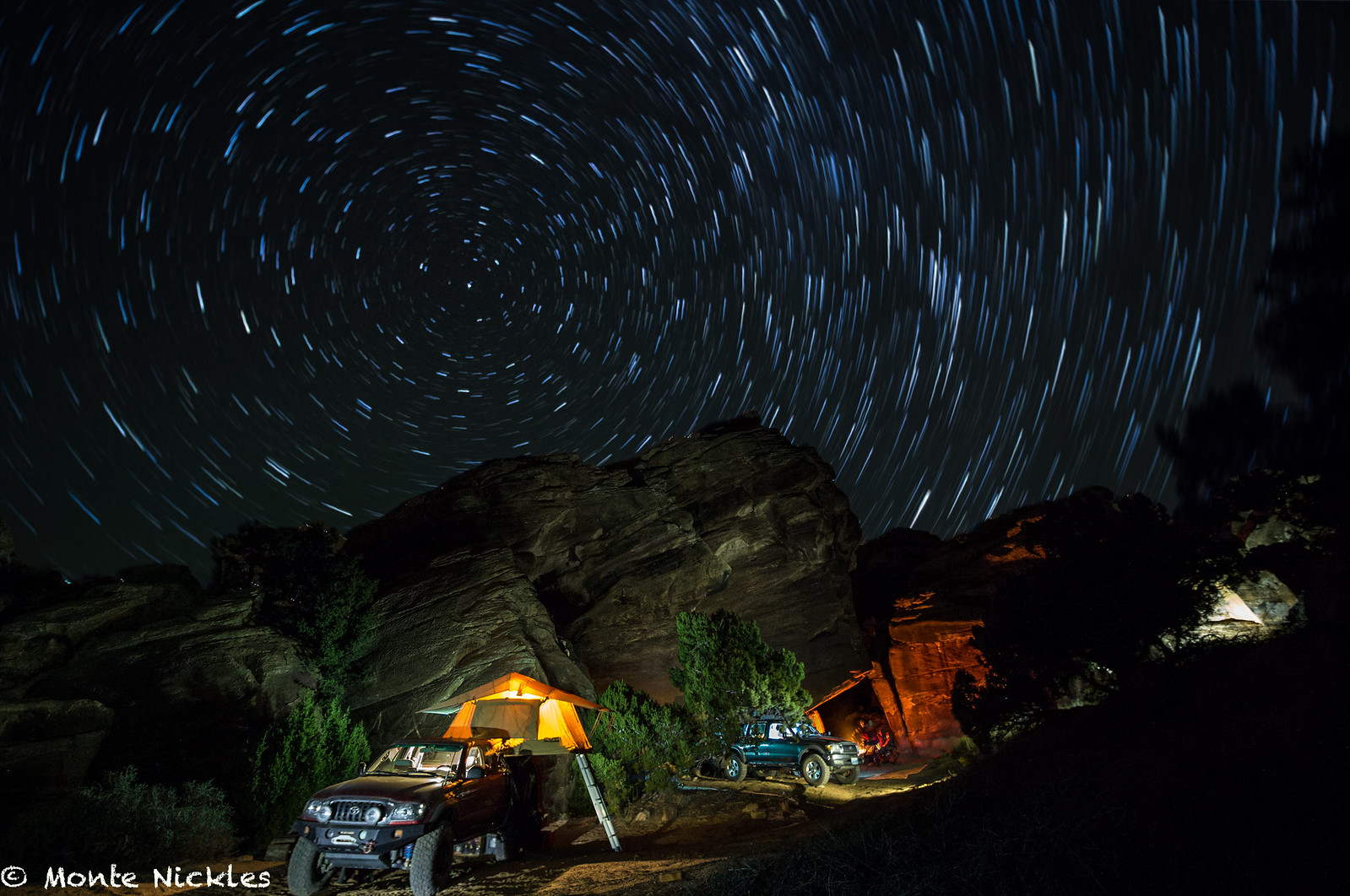
Remarkably, we found some, in the dark on a busy two lane highway. A few miles back from the road we found a pull out and setup our official last camp spot together.
There was nothing remarkable about it though.
 M~D~U-33.jpg
 by
Monte Nickles Photos, on Flickr
 M~D~U-34.jpg
 by
Monte Nickles Photos, on Flickr
Or so we thought at first.
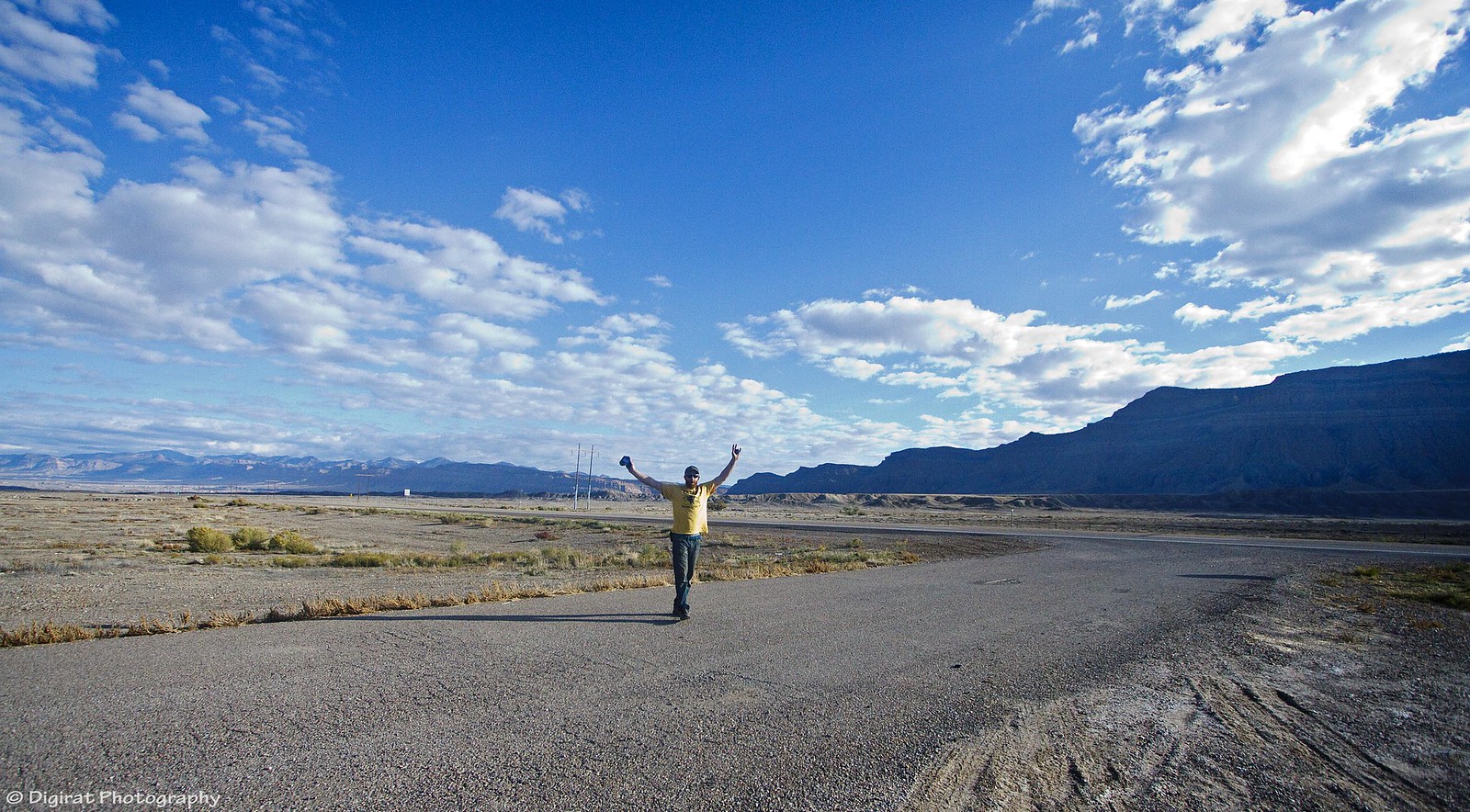
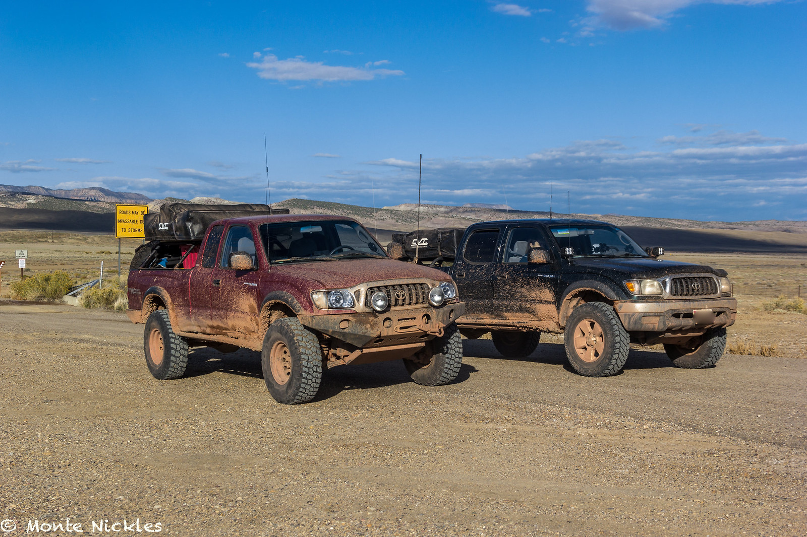
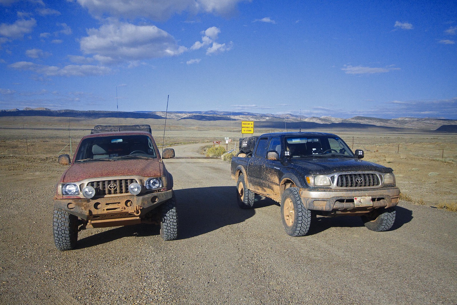
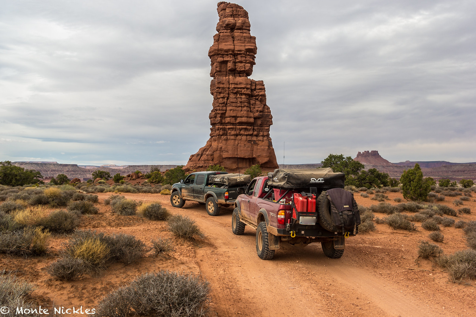
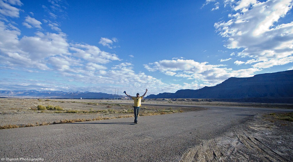
On our way out, Mike looked down at his odometer and proclaimed it read 1198 miles! We figured we had driven about 1000 miles or close to it of all dirt on this trip.

This was reason to celebrate!
 IMG_2664
 by
mike digirat, on Flickr
And our trusty rigs that had taken us so far with basically no hassles at all.
 M~D~U-35.jpg
 by
Monte Nickles Photos, on Flickr
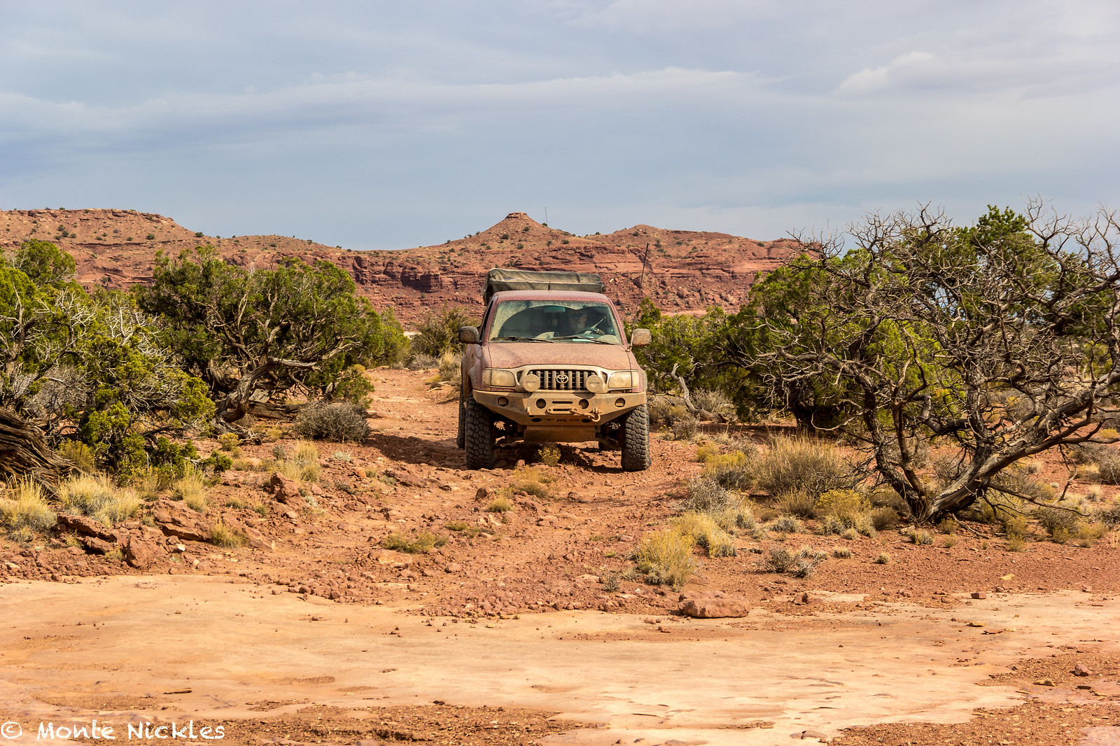
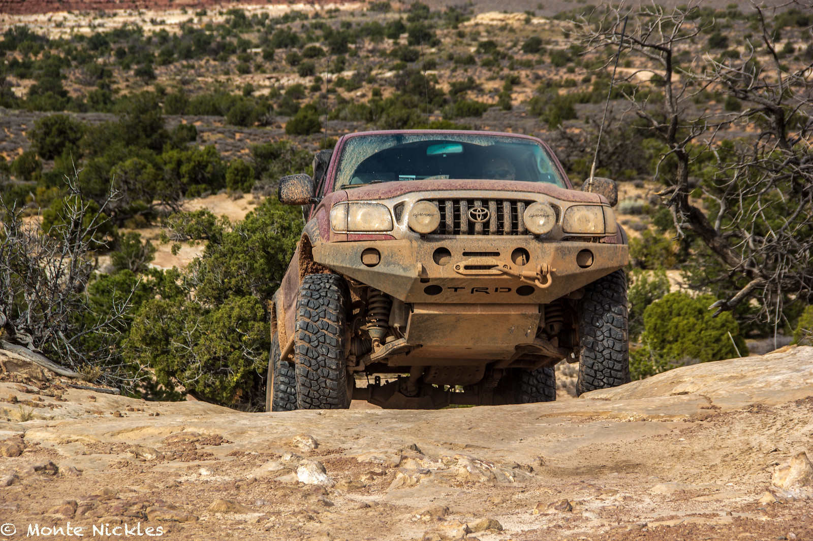
Plus we both had hours and hours of driving left just to get back home in these same trucks. It is truly remarkable what these trucks are capable of. Hell mine is practically bone stock with 180k miles on it!
What an amazing trip with my good buddy Mike
@Digiratus
 IMG_2665
 by
mike digirat, on Flickr
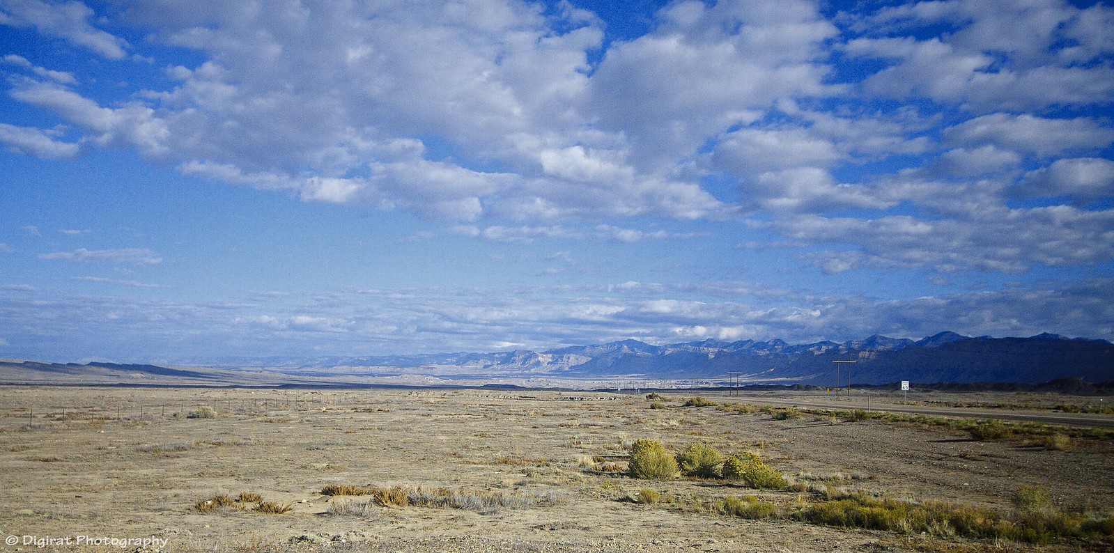
Granted, Devin and I weren't done. Since we had an extra day to kill, sort of anyways, we decided to make one last stop on the way home.
We said our found fair ware to Mike, wished him safe travels and at the junction of high wasy 6 and 191 we parted ways.
 IMG_2666
 by
mike digirat, on Flickr
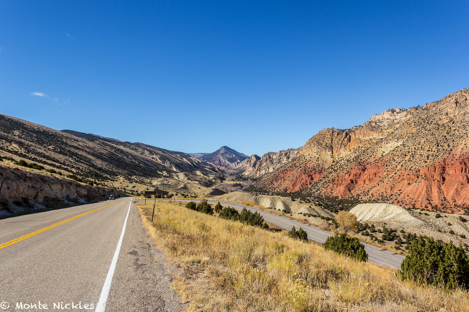
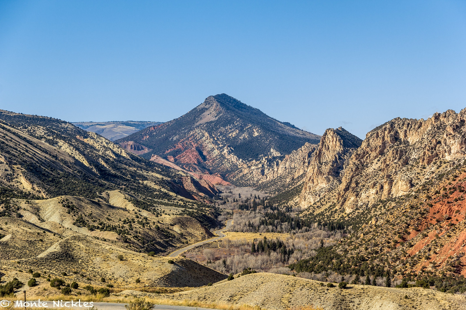
When we got back to Flaming Gorge we decided to take the west side up to see if it was any better. While it was nice, I recommend the West side.
 M~D~U-36.jpg
 by
Monte Nickles Photos, on Flickr
 M~D~U-37.jpg
 by
Monte Nickles Photos, on Flickr
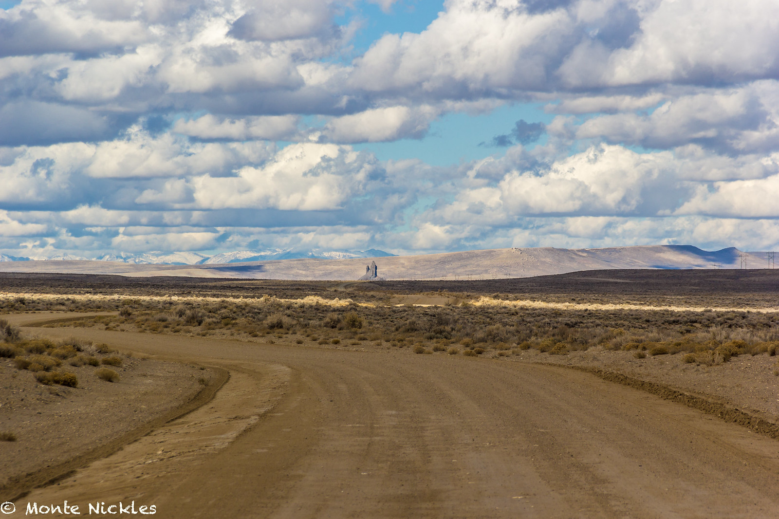
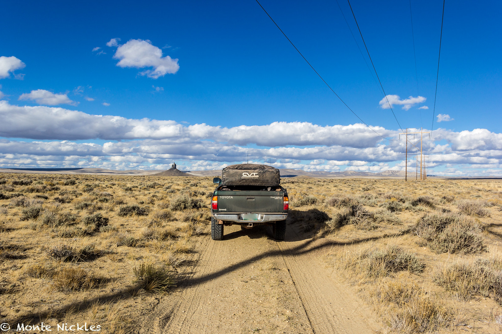
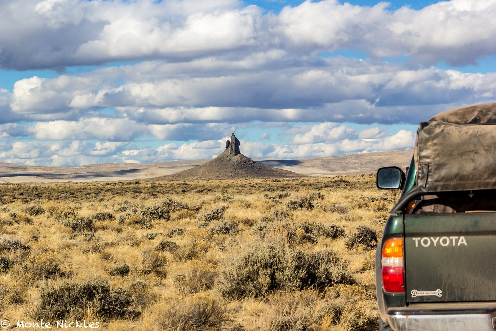
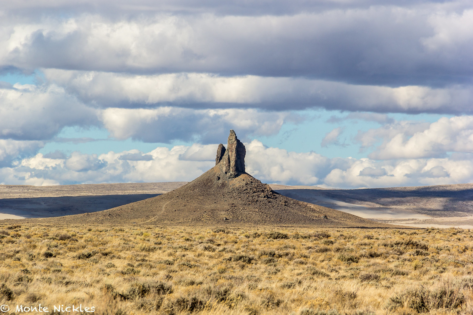
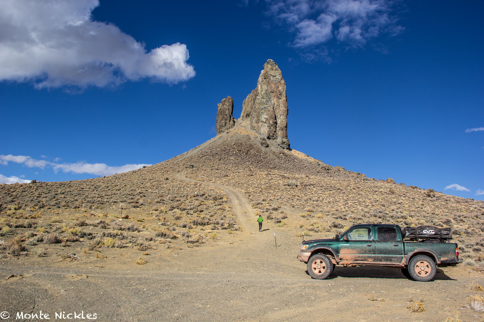
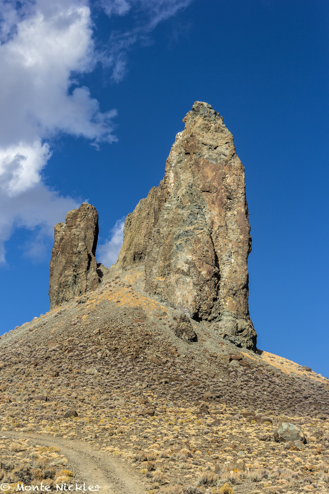
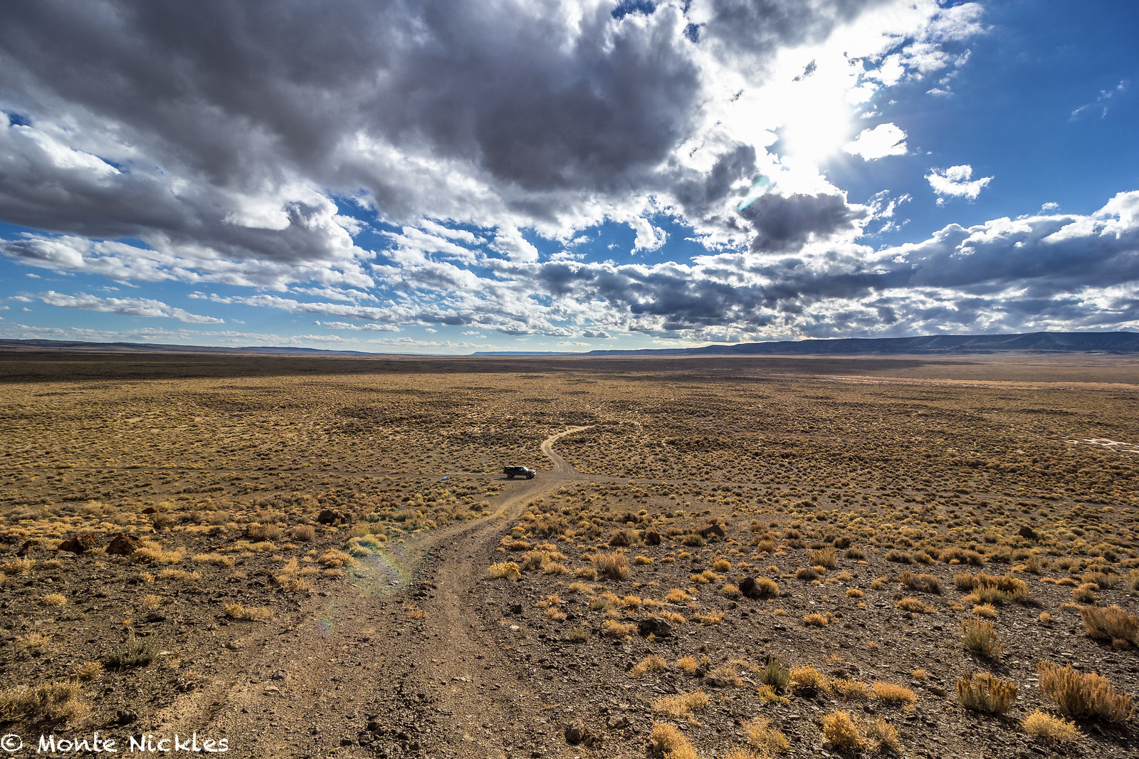
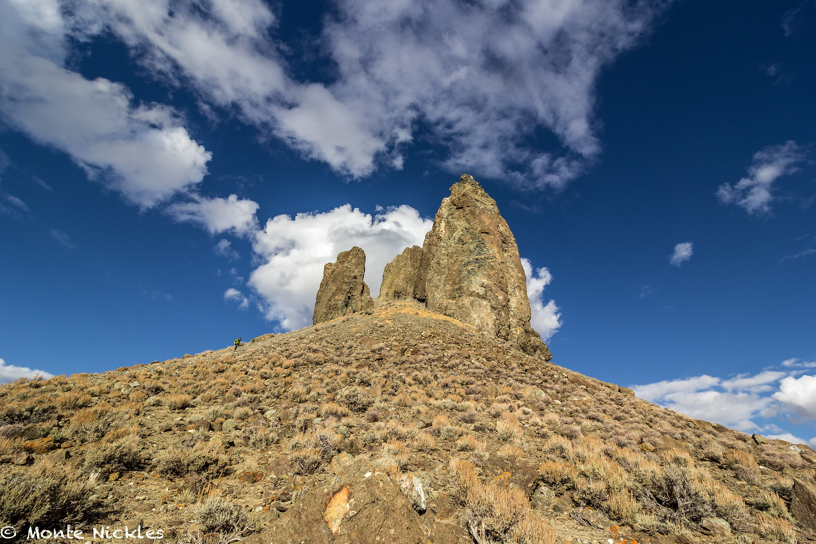
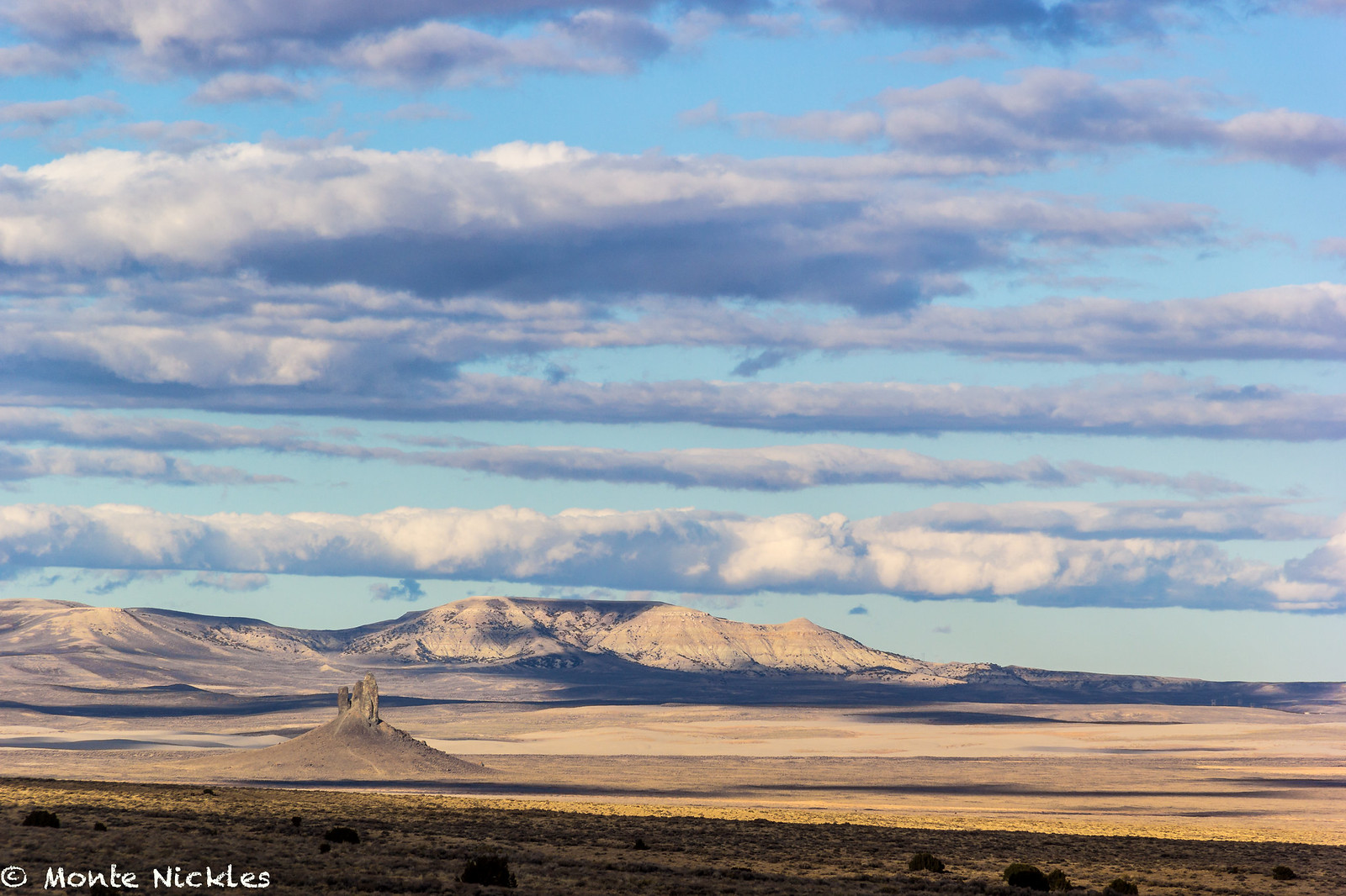
We now headed back the way we had come North of Rock Spring to Lander, but this time, took a bit of a dirt detour to go see a formation called, The Boars Tusk.
 M~D~U-38.jpg
 by
Monte Nickles Photos, on Flickr

 M~D~U.jpg
 M~D~U-4.jpg
 M~D~U-3.jpg
 M~D~U-5.jpg
 IMG_2648
 M~D~U-6.jpg
 M~D~U-7.jpg
 M~D~U-9.jpg
 M~D~U-8.jpg
 IMG_2649
 M~D~U-10.jpg
 M~D~U-11.jpg
 M~D~U-13.jpg
 M~D~U-12.jpg
 IMG_2651
 IMG_2654
 M~D~U-14.jpg
 M~D~U-15.jpg
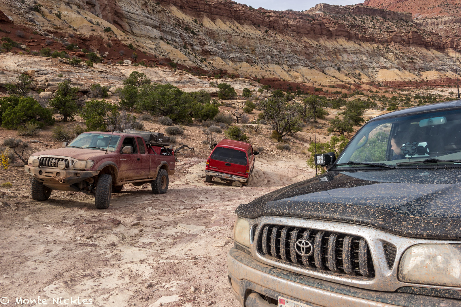 M~D~U-16.jpg
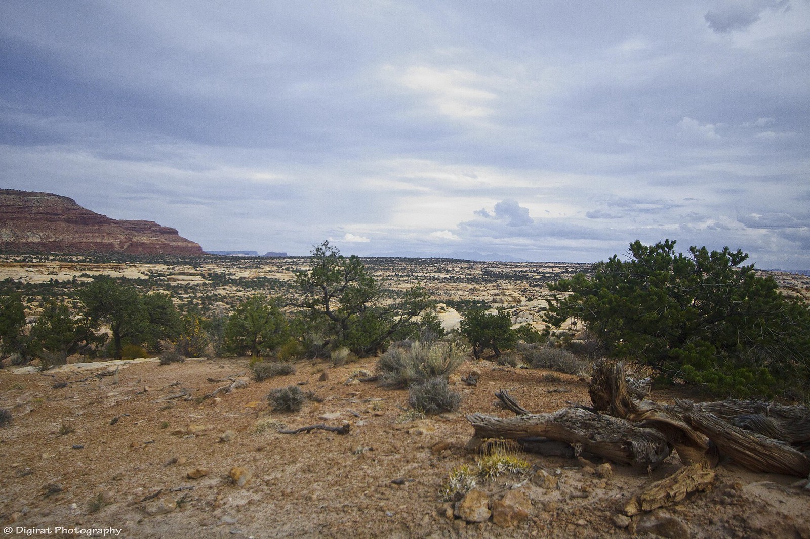 IMG_2656
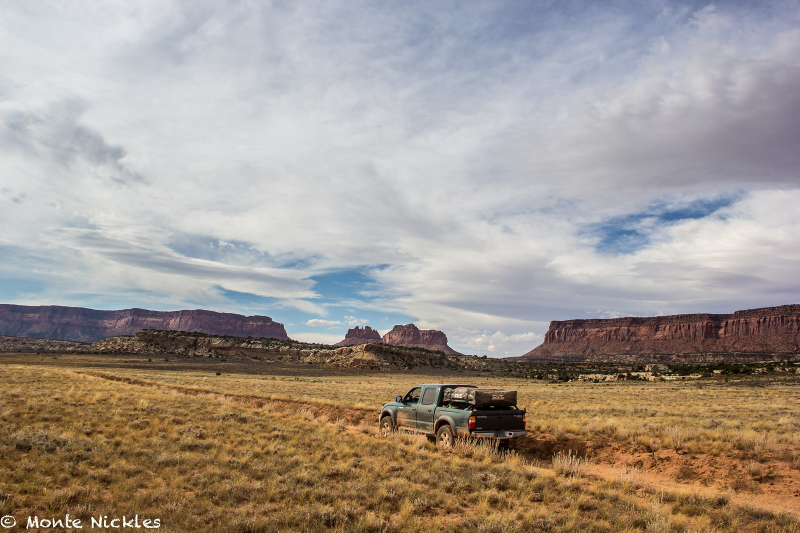 M~D~U-17.jpg
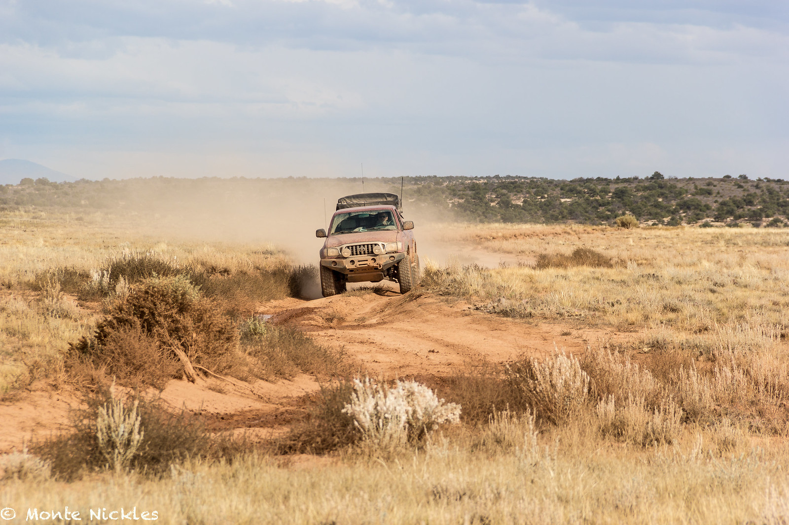 M~D~U-18.jpg
 M~D~U-19.jpg
 M~D~U-20.jpg
 M~D~U-21.jpg
 M~D~U-22.jpg
 M~D~U-23.jpg
 M~D~U-24.jpg
 M~D~U-25.jpg
 IMG_2663
 M~D~U-26.jpg
 M~D~U-27.jpg
 M~D~U-28.jpg
 M~D~U-29.jpg
 M~D~U-31.jpg
 M~D~U-32.jpg
 M~D~U-33.jpg
 M~D~U-34.jpg
 IMG_2664
 M~D~U-35.jpg
 IMG_2665
 IMG_2666
 M~D~U-36.jpg
 M~D~U-37.jpg
 M~D~U-38.jpg
 M~D~U-39.jpg
 M~D~U-40.jpg
 M~D~U-41.jpg
 M~D~U-42.jpg
 M~D~U-44.jpg
 M~D~U-45.jpg
 M~D~U-46.jpg
 M~D~U-47.jpg
 M~D~U-60.jpg
 M~D~U-48.jpg
 M~D~U-49.jpg
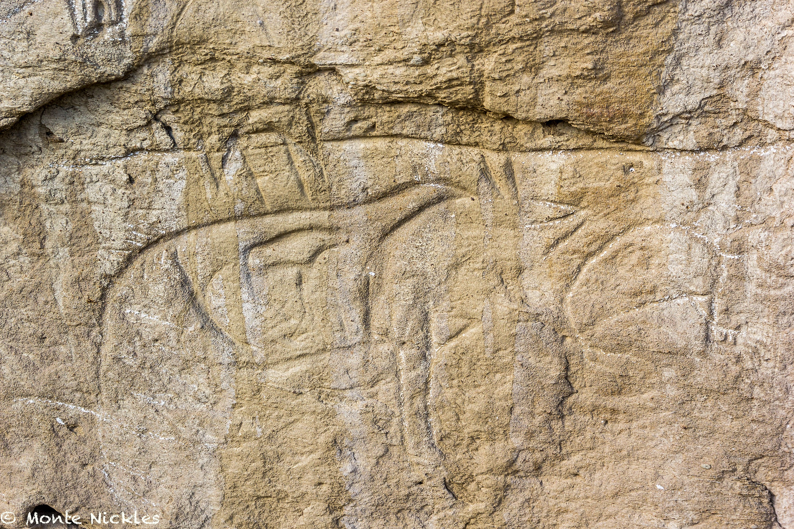 M~D~U-50.jpg
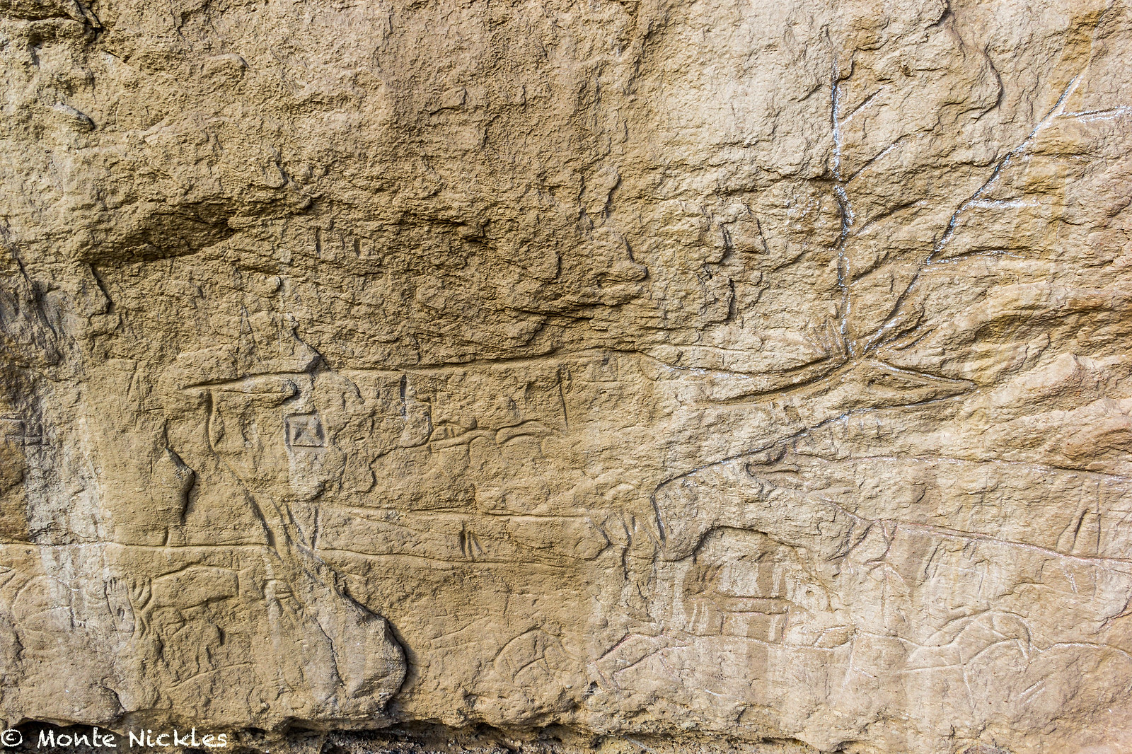 M~D~U-51.jpg
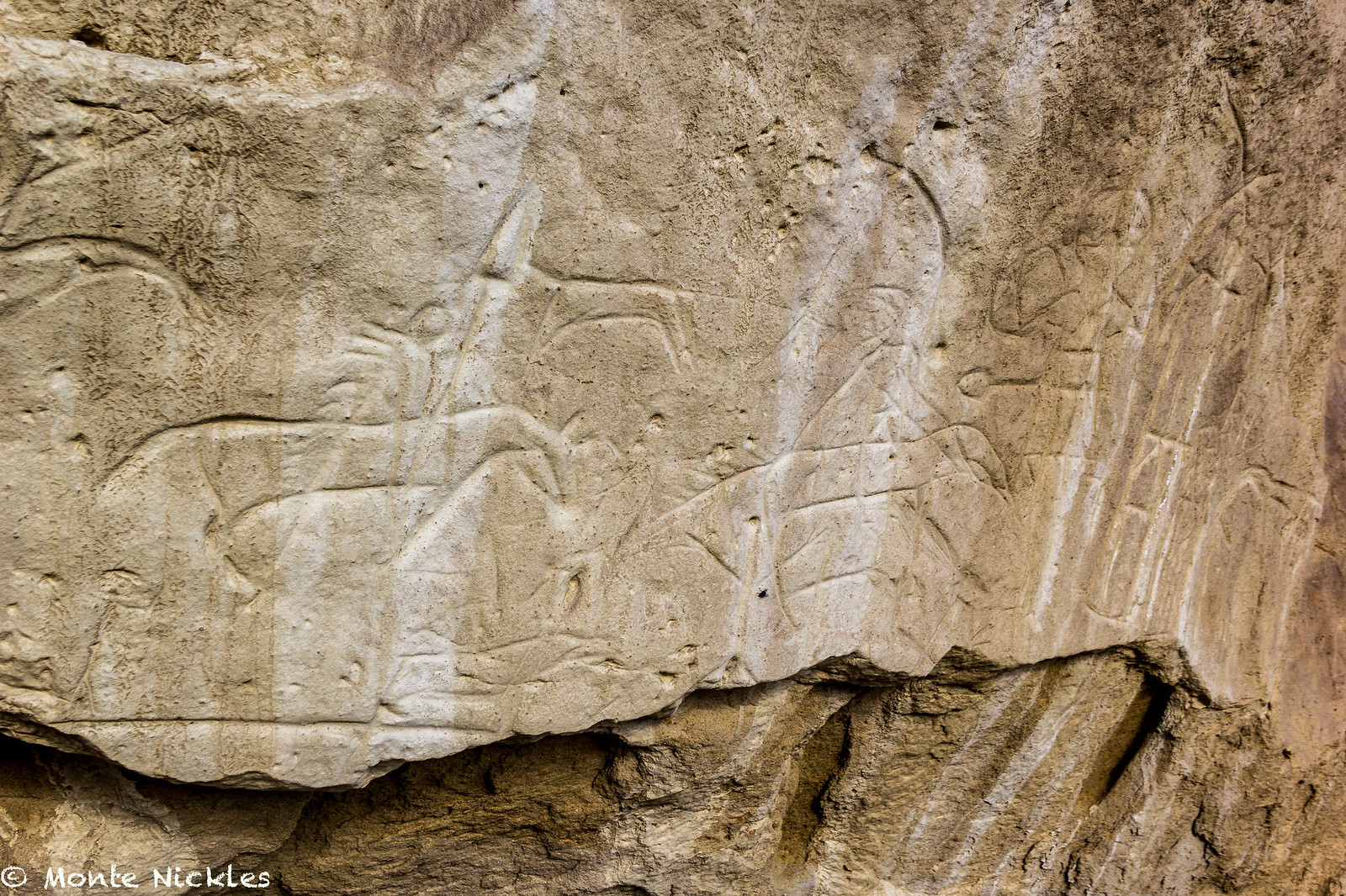 M~D~U-52.jpg
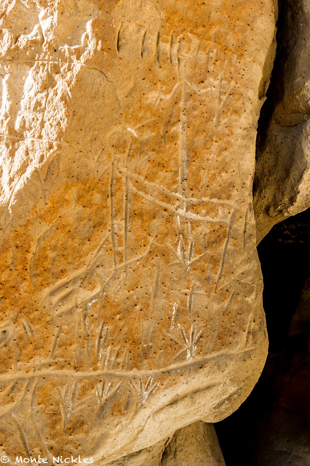 M~D~U-53.jpg
 M~D~U-54.jpg
 M~D~U-55.jpg
 M~D~U-56.jpg
 M~D~U-57.jpg
 M~D~U-58.jpg
 M~D~U-59.jpg
 M~D~U-61.jpg
 M~D~U-62.jpg
 M~D~U-63.jpg
 M~D~U-134.jpg