"The Magellan TRX is also way overpriced for what amounts to vector maps with a dump of USGS data. The idea of syncing is OK, but tagging trails for others is over-implemented IMHO."
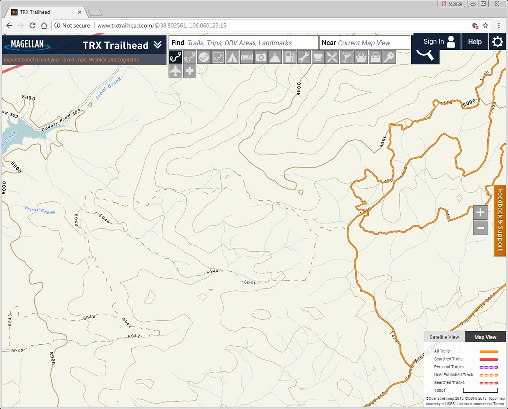
Actually, our map is OSM, and trails are from each area's managing authority, and not just a "dump", but a living and breathing system that's constantly updated as we work with the Forest Service, BLM, and States, and always free. The map and trail data are always available via the free Magellan TRX app and at
www.TRXtrailhead.com
I understand the idea of a leaving breathing system, and I think it's admirable. Case in point though...
Chinaman Gulch, Colorado.
This is the test I run on ever map layer I see, and so far no one has all the data with appropriate metadata from the managing authorities.
Chinaman Gulch (38.802561,-106.060123) is a trail near Buena Vista, CO that is on BLM land and managed by the BLM, but is right next to USFS land. OSM shows the information a decent level of information:
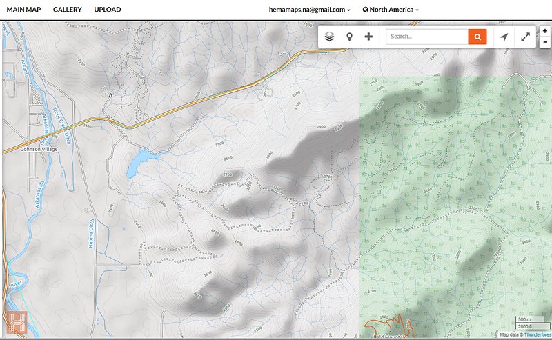
So does the Magellan data, for the USFS portions. Note that the Magellan data (and most other sources) does not include BLM metadata
And USGS Topo (Doesn't even show it)
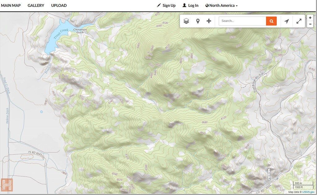
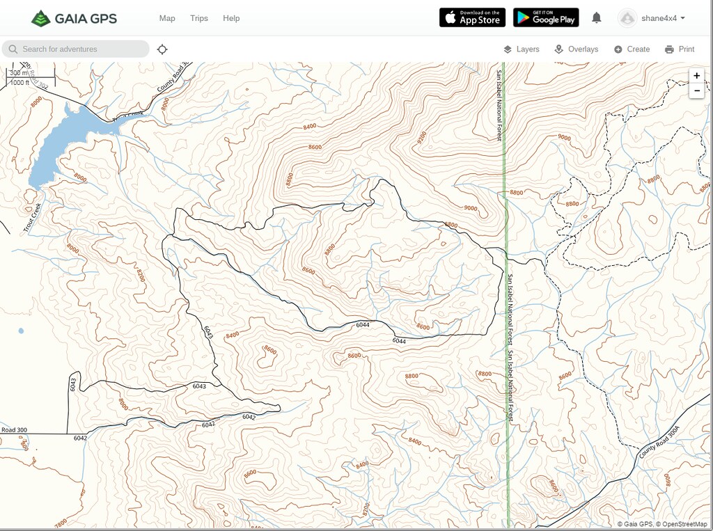
And Gaia Topo
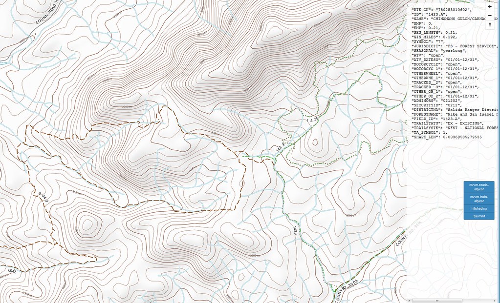
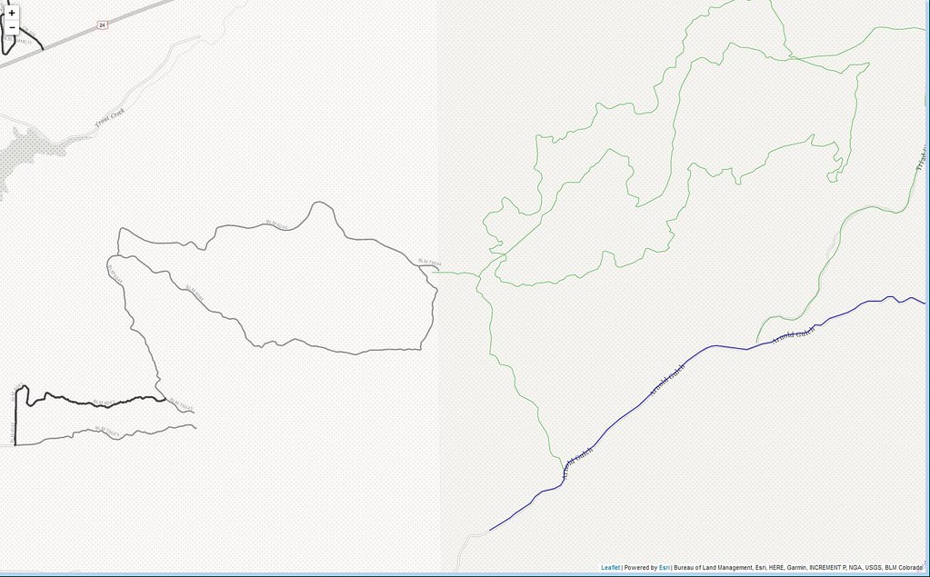
Finally some test layers I've been developing
The issue is that there are at least 5 different federal agencies that manage public land, plus state & local land & trail areas, it's basically impossible to have a single layer that contains all the data someone may need. Personally, I prefer to have multiple useful layers to choose from, as well as real reports from other that have explored the area.
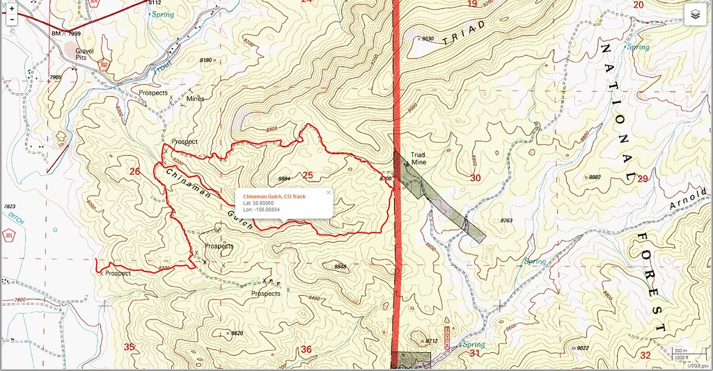
Using 1 layer just doesn't work in my very personal opinion.
So...use whichever device, app, service you like...just know that there's no such thing as 'one version of the truth' =)


