You are using an out of date browser. It may not display this or other websites correctly.
You should upgrade or use an alternative browser.
You should upgrade or use an alternative browser.
Yetti’s Pacific North West Exploration & Expeditions Picture heavy
- Thread starter Pacific Northwest yetti
- Start date
Pacific Northwest yetti
Expedition Medic
Pacific Northwest yetti
Expedition Medic
Spent from about14:00-3am on Sunday night/Monday morning on a fire locally. And level 3 evac houses. We had two small fixed wings, and a helo with a bucket. There will be a type 3 Agency crew here most this week doing mop ups. Then slept two hours to go to work Monday morning.
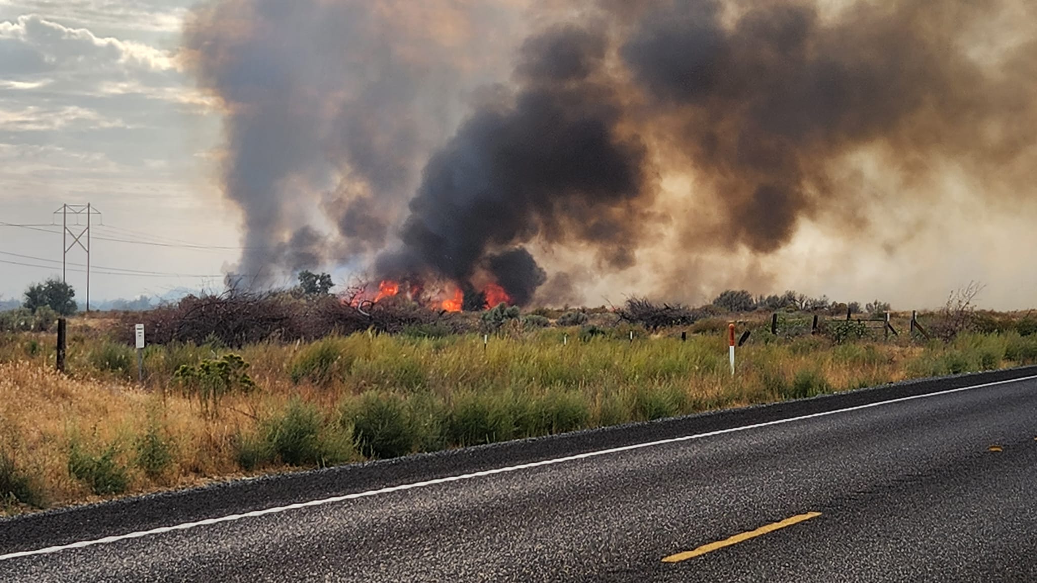
* Not my Photos* Pulled from the local news agency.

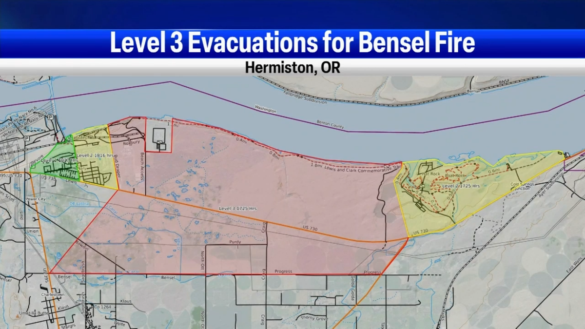


* Not my Photos* Pulled from the local news agency.


Todd780
OverCamper
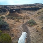
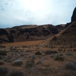
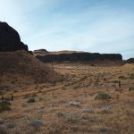
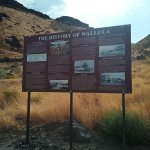
Nice bike! Although I may be a tad biased as I also ride a Strom... hahaWeekend before last, Aug 6th. Had been a bit of a rough work week. Instead of doing laundry and getting groceries Sunday I decided a ride was what I needed. So away I went, not many pictures as it was really windy. Headed down the Columbia on the Washington side from Umatilla to Bigs. I had not done a longer ride in a while and felt it. The moto did great,
If you’ve never experienced the Columbia river gorge along the Oregon Washington border. Id recommend it if you can, The old highway from Portland to about cascade locks. And down to Arlington. Or if you can do one long loop, do the Oregon side, and the Washington side.
View attachment 791869View attachment 791870View attachment 791871
Pacific Northwest yetti
Expedition Medic
I have had worse lunch views


Sent from my almost BlackBerry pocket tool. From somewhere remote. Happy Tails & Safe Travels


Sent from my almost BlackBerry pocket tool. From somewhere remote. Happy Tails & Safe Travels
Pacific Northwest yetti
Expedition Medic
The Strom is a pretty underrated moto!Nice bike! Although I may be a tad biased as I also ride a Strom... haha
Thanks
Todd780
OverCamper
Very much so. Do you ever poke around Stromtrooper.com?The Strom is a pretty underrated moto!
Thanks
Pacific Northwest yetti
Expedition Medic
Other than knowing its a site....I have never been. Ive been told its a great resource.Very much so. Do you ever poke around Stromtrooper.com?
Todd780
OverCamper
Very much so.Other than knowing its a site....I have never been. Ive been told its a great resource.
Bought a foot peg lowering kit + shifter extension and also saddlebag guards from a vendor / small manufacturer I found on there.
Pacific Northwest yetti
Expedition Medic
Tiny Towns & Two lanes, + Hantavirus.
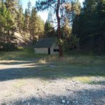
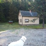
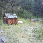
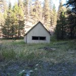
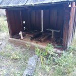
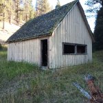
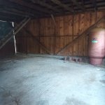
Sunday explorations, Along the side of the road. Abandoned, I did not go inside the old house as all the black on the floor is mouse/pack rat poo. And it was like a brick wall of scent as soon as the door was opened. * Of course, I made sure, the door was closed and latched again.
No History on it, Mishka was very interested in finding whatever was leaving the droppings. We did not stay long.


Attachments
NevadaLover
Forking Icehole
Lots of old houses and shacks like that here in Nevada too, we call them the hantavirus hiltons.Tiny Towns & Two lanes, + Hantavirus.
Sunday explorations, Along the side of the road. Abandoned, I did not go inside the old house as all the black on the floor is mouse/pack rat poo. And it was like a brick wall of scent as soon as the door was opened. * Of course, I made sure, the door was closed and latched again.
No History on it, Mishka was very interested in finding whatever was leaving the droppings. We did not stay long.
View attachment 796949View attachment 796950View attachment 796951View attachment 796952View attachment 796953View attachment 796954View attachment 796955View attachment 796956View attachment 796957
Pacific Northwest yetti
Expedition Medic
Continued,
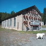
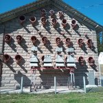
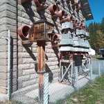
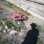
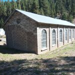
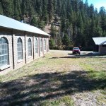
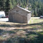
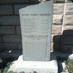
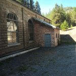
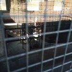
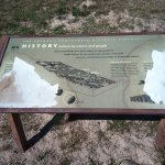
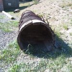
Freemont Power House, They also have cabins that can be rented there. I only kind of did research, so unaware the cabins were public. Mishka stayed close to the power house.
“The Fremont Powerhouse used to power to the Red Boy Mine, creating electricity from water supplied by Olive Lake. Eastern Oregon Power and Light acquired the plant in 1911. In 1940 the plant transferred to California-Pacific Utilities Co.; the company operated Fremont until it was shut down in October 1967. The plant stopped generating electricity but remained a tourist attraction, drawing thousands of visitors. In 1993, the building's roof collapsed. In 1999, a former Fremont employee and members of the National Guard of the United States rebuilt much of the building. Fremont was re-dedicated on July 24, 2001. Umatilla National Forest, which owns the structure, received an award from the Oregon State Historic Preservation Office.[2]”
* https://en.wikipedia.org/wiki/Fremont_Powerhouse


Pacific Northwest yetti
Expedition Medic
thats a great name! Ima use that. lolLots of old houses and shacks like that here in Nevada too, we call them the hantavirus hiltons.
The mountains were PACKED* people everywhere. The start to bow season. I don’t hunt anymore, mainly just because the “wild “places are so packed with idiots it’s a safety issue. Too many close calls.
The power house was cool; I was unable to go inside. I could have done more research, but the point of these for me is to just go, and knock things off my list. Professionally I have to plan a lot, so on my own time I tend to just see what happens.

Pacific Northwest yetti
Expedition Medic
Old habits, that are good habits.
So the morning we left earlyish at 07:30. When I was getting ready I checked the BCN maps, on my phone and tablet. Across both platforms they were corrupted. No idea, why. They wouldn’t really be needed today. So I was not very worried about it. And I also knew where I was going. Not to mention the paper map, and google maps were good. The Garmin Oregon Topo was still there.
I had to delete all BCN files, and reinstall the apps and states. Working on the tablet now, but still no go on the phone. Trust but verify, those habits will save me on of these days and have before..
Tiny Towns, Two Lanes and Toxic Water:
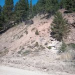
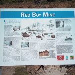
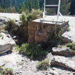
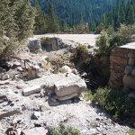
Narrow shelf road, that climbs rather quickly. Next stop was the “ Red Boy Mine” I saw on the way in. But it’s on a blind corner so wanted to hit it on the way back down.
“Summary Information
(last updated on: 10/17/2012 9:50:10 AM)
The Red Boy Mine is one of over 100 mines in the Granite Creek Mining District, a complex of mines along Granite Creek and tributaries such as Clear, Olive, and Bull Run Creeks (see also ECSI #2131). A 1996 EPA Site Inspection (SI) found significant metals contamination of soil/sediment and surface water, highest in sediment ponds, with concentrations decreasing at downgradient locations. There were levated levels of arsenic, cadmium, copper, lead, barium, beryllium, mercury, and silver in most tailings piles, sediment ponds and at many downgradient locations. The Red Boy Mine was identified as being of particular concern due to a large volume of tailings and waste rock in the stream channel at Congo Gulch, and the condition of the water collection system and treatment wetlands, which allow variable amounts of mine water discharge to by-pass the system and enter Clear Creek via Congo Gulch. The tailings in Congo Gulch are over 25 feet thick in some areas and are eroding into the creek. Clear Creek is a critical habitat for Spring Chinook, Summer Steelhead, and other sensitive fish and aquatic species. The USFS provided for construction of treatment ponds and wetlands for the drainage from Red Boy and two other nearby mines, Due to design and maintenance problems, water from the Red Boy Mine often bypasses the system and leaks through waste rock, carrying arsenic, iron and other metal contaminants into Congo Gulch and Clear Creek. Recently DEQ has been working with the North Fork John Day Watershed Council, the Oregon Water Enhancement Board, the USFS, and other stakeholders to find funding and solutions to develop and implement plans to improve the quality of water, sediment, and anadromous fish runs in Clear Creek, Granite Creek, and the North Fork John Day River. Recent grant funding has been used to collect additional data to update mine conditions and wok on the improvement, upgrading and maintenance of the piping system.”
https://www.deq.state.or.us/Webdocs/Forms/Output/FPController.ashx?SourceIdType=11&SourceId=2467
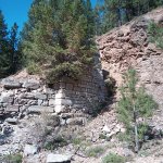
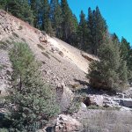


Pacific Northwest yetti
Expedition Medic
There are still active claims in the area, so it’s always best to mind your P’s and Q’s. With that water, much to her dismay she was not allowed to swim. We did stop multiple times along the way so she could get some water time in.
The images, don’t do a great job of showing just how orange the water is. Notice the dead foliage that is around it.

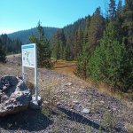
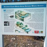
The images, don’t do a great job of showing just how orange the water is. Notice the dead foliage that is around it.


Similar threads
- Replies
- 13
- Views
- 4K
- Replies
- 70
- Views
- 15K
- Replies
- 6
- Views
- 3K
- Replies
- 27
- Views
- 23K
- Replies
- 254
- Views
- 121K


