Yetti’s Pacific North West Exploration & Expeditions Picture heavy

Pacific Northwest yetti

Expedition Medic
ITTOG:

Cusco is like that as well, you have ancient (Inca Pre Colombia,) next to post Columbia, Spanish built, next to modern. And it really does get worse. We rode moto’s, cars drive on those ancient brick roads, and they are solid. The new asphalt, concrete? Rubbish, pot holes, falling apart.


Jerry:

I don’t usually do food pics, but it sure was good! I am glad its bringing back memories, it truly is a magical place. I was bummed we could not just spend an entire day exploring every inch. But it was still worth it. We saw many who were doing the Inca Trail, and I am sure its an incredible hike. And I would imagine the people met along the way have some great stories to tell.

Feel free to post and share any stories or pictures you would like! After all, is from others posts and experiences where I learn of places to go. This trip was different from my others, however still enjoyable. And always better than the “someday”. That “someday” can be a dangerous trap of a road to go down.

I look forward to more of your possible insight on other aspects of this trip. Still have more days to post about. 😊


The Deputy:

Interesting you brought that up! There are varying skills of construction here, however almost all still ancient. There are some places where you can tell, UNESCO is actively restoring. * and its still not as good*

In the picture you posted, The building on the left was for someone very important, ( I believe a priest) The upper portion would have been covered by the roof and grasses.

The wall on the right borders a terrace so they used larger stones.

Other places on site (Our circuit, had the buildings of the important folks) where it would have been students, or servants, the construction was more get it done, and less art.

I asked if they used slaves.

And the guide chuckled and said “not in the traditional sense, the kings required work as a tax. So, a commoner would do 3 months of labor, instead of paying tax’s. So, we don’t consider it slavery”. Even though they weren’t paid, once their term was up they could go back to their families and businesses.
 

Pacific Northwest yetti

Expedition Medic
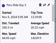
Nov 5, Ride day 3

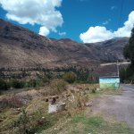
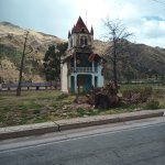
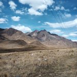
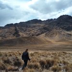
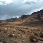
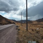
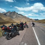
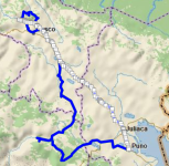
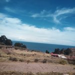
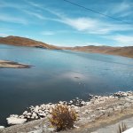
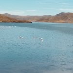
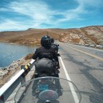
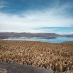
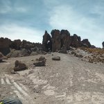
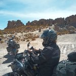
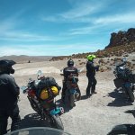
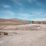
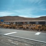
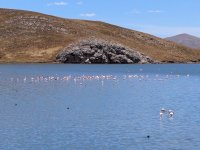
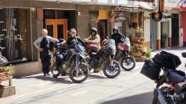
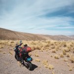
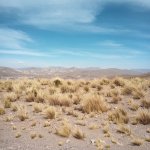
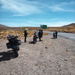
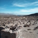
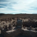
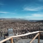
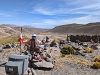
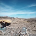
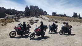
The day after Machu Picchu was the longest ride day of the entire trip. Most of us were pretty sore after the prior days activities. On our way to Puno we started out by climbing yet again. Into the altiplano, a high desert ( 13k ft, ish) It was very reminiscent of the Alvord and Steens area along the Oregon and Nevada line. We battled winds, as we danced in and around cloud bursts as the miles wore on.
For the vast majority of the 10hr+, and 400 or so Km day it was tiny towns and two lanes. These are a fun compliment when on two wheels. We got multiple chances to open the motos up and go full bore on the long straight stretches. We had a multitude of curves we could carve deep into, becoming one with our moto’s. Surrounded by mountains everywhere your eye line landed.
Eventually, and to my dismay we left desolation behind and found our way into large cities.

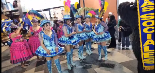
We got into Puno well after dark and were met with the smell and sights like a brick wall. After a surprise with some one-way streets, and the lower part of the town shut down for their anniversary celebration. Getting the moto;s stored for the night, much to the delight of our sore arms and legs. As standing to ride only gives so much relief. We slept to the noises of the parade and dancing in the square. After a quick bite of Pizza.

I did not take as many pictures on this day.

We had an early, alarm: with the plan to see a large well-known lake the next day.


I am struggling a bit with the online portion of the Garmin maps/ share. In this case, the days route has the white squares.

IMG_20241105_095113_102.jpgIMG_20241105_131016_325.jpgIMG_20241105_133917_624.jpgIMG_20241105_133920_300.jpgIMG_20241105_133922_723.jpgIMG_20241105_133924_296.jpgIMG_20241105_133935_801.jpgRide day 3.pngScreenshot 2024-12-16 120134.pngScreenshot 2024-12-16 120304.png
 

Pacific Northwest yetti

Expedition Medic
ITTOG:

It was! At this point I had turned the Bluetooth on in my helmet, so was listening to music. And just really enjoying riding sweep. Andi and her dad had coms in their helmets, but the rest of us did not. Or at least, that would work with each other.

At times, having coms would be good. Especially in convoy and passing. So, we worked out a system, if I could see far enough ahead when we were going to pass, I would move to the left lane and stand up, until it was no longer safe, I lost visual, or we were passed.

Andi who could talk to her dad, would try to wait and pass until we had room for both of us. At times we were riding way tighter than I would recommend.

For the most part I am leaving some of this stuff out, cause its negative. And we made the choice, and still had fun.

But in instance here, the guide was passing multiple busses splitting lanes in Jualiaca, ( 300k + ppl) when there was barely room for 1 moto to go through. Most the time, it was as though he had no idea people were following.

Let alone 5, I ended up getting split off the convoy in one of these instances. And I can be an experienced and aggressive rider. After 5+ blocks (stacked traffic 45 mins) of not being able to catch up or see the group. I pulled over, turned on my phone and was just going to ride to Puno and then look up the group when I got closer and out of the traffic. I was away from the group for about 1.5 hours. And it took the guide 1+ hr to notice he was missing people. On the same note, one of the reasons I was ok with riding sweep. Was because I knew I could just GPS, or even map my way to where I needed to go.


Its funny, I remember being just shy of rapped out at 95kmh(They were 500, with Andi who was in front of me on a 300) And it seems so fast, then you look back and laugh at the 65 top. But it was also windy, and we were loaded.
 
Last edited:

Pacific Northwest yetti

Expedition Medic
Nov 6th. * Puno, Peru*

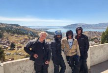
We met and took a bus down to the docks, today we were going to see Lake Titicaca.
After a few more stops to pick up others, we found ourselves in single file line down by the docks. And herded onto boats. Many were rafted together, so it took some time for them to all get out and shuffled around. During our wait we had some good entertainment as a local played American rock classics on his pan flute. He did this for each boat, and probably made some good tips. He was entertaining and talented, sharing his tips with each boat captain. Our boat was assigned a guide, who stuck with us all day.

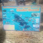
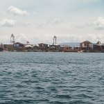
“ Lake Titicaca is the largest freshwater lake in South America and the highest navigable lake in the world. Situated on the border between Peru and Bolivia, Lake Titicaca sits at a high altitude of approximately 3,810 meters (12,500 feet) above sea level. It covers 3 200 square miles (8 300 square km) and extends in a northwest-to-southeast direction for a distance of 120 miles (190 km). It is 50 miles (80 km) across at its widest point. A narrow strait, Tiquina, separates the lake into two bodies of water. The smaller, in the southeast, is called Lake Huinaymarca in Bolivia and lake Pequeño in Peru. “


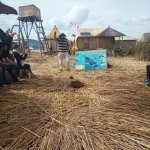
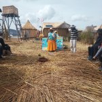
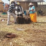
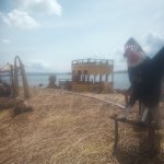
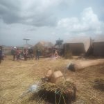
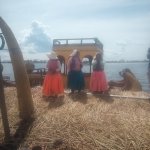
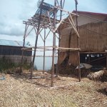
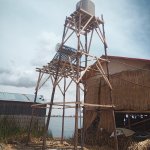
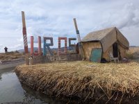
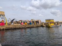
The floating islands are cool. These are a matriarchal run society. With each floating islands having a life span of about 35 years. As you walk across them, they are spongy, and you can see the walking surface move, and roll as the waves do.
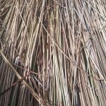
They start with a root base, then stack the reeds to make a thickness of about 6 feet. The tightness of the weave is impressive.
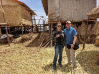
There are multiple floating islands, and a boat is assigned to each one. With a rotation system, so each island/family group has tourists 1/day a week. Once on the island we were all sat around in a circle, after a short talk. We were then sub split into groups of 4, and then were assigned a house. Where we got a tour, and then were asked to buy something from our host.


IMG_20241106_082833_679.jpgIMG_20241106_082951_310.jpgIMG_20241106_083528_848.jpgIMG_20241106_083721_764.jpgIMG_20241106_090638_621.jpgIMG_20241106_090644_119.jpgIMG_20241106_090727_959.jpgIMG_20241106_091012_969.jpgIMG_20241106_094526_776.jpgIMG_20241106_094530_789.jpg
 
Last edited:

Pacific Northwest yetti

Expedition Medic
The history is cool, the commercialism not as much. As we were herded into what felt like very specific chutes and corrals as buyers. It reminded me a bit of a reverse sale yard/barn. Everyone must make a living though, so can’t blame them for doing so.

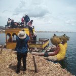
The hand-woven boats, with the animal heads were also impressive. We got a ride from one island to another on one of them.

The kid trying to get it/us across the lake, had a heck of a time. They have small boats with an outboard that they use to push the boats forward. He kept missing and ended up pushing the bow through the reeds right under where we were sitting. We made it; he got quite the scolding from one of the ladies on the other side. He looked terrified during the entire ride. Was probably his 1st time.

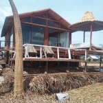
Small solar panels on most of the grass huts. It was a sunny and bright day; they were way cooler inside than I would have initially thought possible. There are also some that you can rent out on VRBO, (the ones in the pictures with glass, and chairs) That would be a fun way to see things.

IMG_20241106_094758_109.jpgIMG_20241106_094759_770.jpgIMG_20241106_095849_728.jpgIMG-20241106-WA0005.jpgPXL_20241106_131739192.jpgPXL_20241106_132448567.jpg
 

Pacific Northwest yetti

Expedition Medic
I wish I had recorded some of this on my watch, just to see the route we took through the lake. Also, none of us realized how long we would be out here.
Next, we got back on the boats. (They were enclosed, had shades to cover the windows and such) Old, but in decent shape. The seat in front of us, did have a tiny hole where we could see water. None ever really came through though.
We now had a 1 hr 45min, ride to Taquile Island.

“ Taquile is an island on the Peruvian side of Lake Titicaca 45 km offshore from the city of Puno. About 2,200 people live on the island, which is 5.5 by 1.6 kilometres in size, with an area of 5.72 km². The highest point of the island is 4,050 metres above sea level and the main village is at 3,950 metres. “


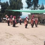
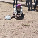
This is very much, and old school, ancient patriarchal society in all that entails. As we were told about the norms and expectations for those who live here. Some interesting things, the specific type of hats for males determines if they are single or married. And when married, the men wear a belt made from their wives’ hair. The weaving of the textiles here was also intricate.

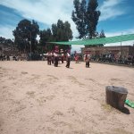
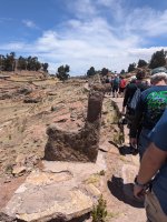
We had a very specific route here; we were led on. And the hike was a great way to stretch our legs. We climbed into a area, where the had tables set up. And seating around the edge. We watched the local dancing, had some demonstrations with how they make soap.

Then were walked past all the vendors and up to a restaurant. We walked from one end of the island to the other, which was a good way to see things. If not a bit like sheople herding.
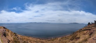
The food was good, and we overlooked the lake.

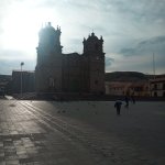
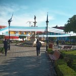
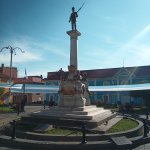
After eating we walked back to the boats and begun the 1hr 45min ride back to Puno. At Puno we enjoyed walking back through some of the town squares with some decorations still up from the previous night’s festivities.

IMG_20241106_120356_435.jpgIMG_20241106_120400_596.jpgIMG_20241106_121340_478.jpgIMG_20241106_123158_072.jpg

In Puno *
IMG_20241106_160725_107.jpgIMG_20241107_071802_548.jpgIMG_20241107_071820_493.jpg

* walking from the area we had the demenstrations to the resturant.
PXL_20241106_172038213.jpg

On the island*
PXL_20241106_173545511.PANO.jpg
 

Pacific Northwest yetti

Expedition Medic
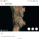
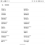
I did start a partial record on my Suunto when on Taquile Island. Which I have included below, it’s a cool way to see routes and stats after the fact. + it’s a tool I wear every day and use to track workouts among other things.

I really do like my Suunto, it’s been a great watch. And the smart watch features, I initially thought dumb have proven very useful. I bought it when doing the remote Alaskan contracts, and used it to track weather, as well as things like barometric pressure, location, elevation for when needing to call in a Helo or extra support from other resources.

No track through the lake however.

Screenshot_20241217-085850.pngScreenshot_20241217-085918.png
 

Todd780

OverCamper
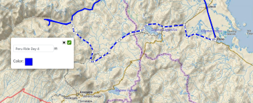
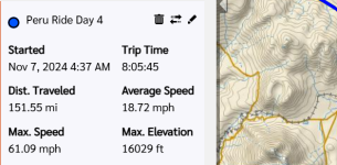
We made it back into Puno, and gathered our gear and packed as the next day we would head to Chivay. As well as some of the last high climbs of the trip. For ride day 4.
So jealous you're able to get some riding in this time of year. Looks like a great trip, glad you're enjoying it!

You're making me wish for spring so I can head out for some rides! haha
 

Forum statistics

Threads
188,171
Messages
2,903,052
Members
229,666
Latest member
SANelson
Top