I zipped up a .gpx file with tracks for this loop to show you where it is.Moody said:Tell me more about Good Hope/Blue Notch...:coffeedrink:
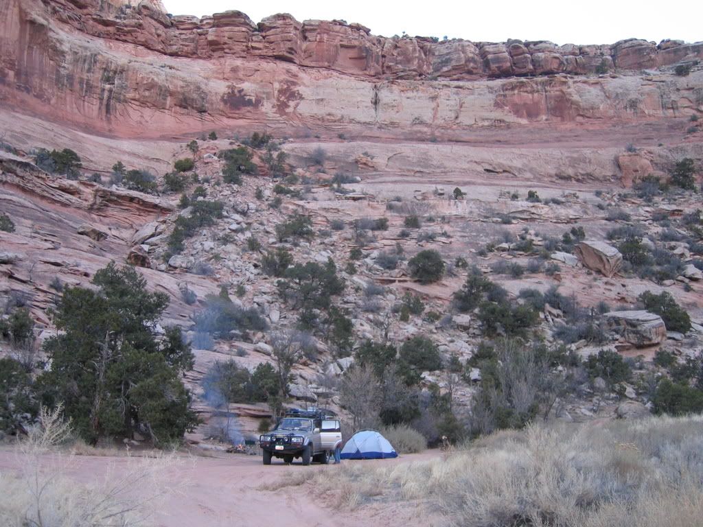
Here is Good Hope Bay, a designated vehicle camping area:

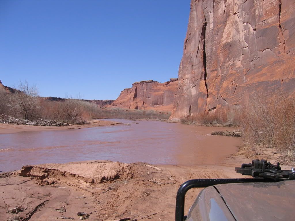
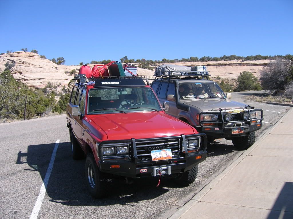
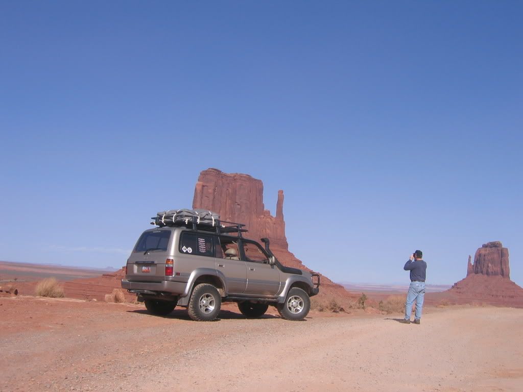
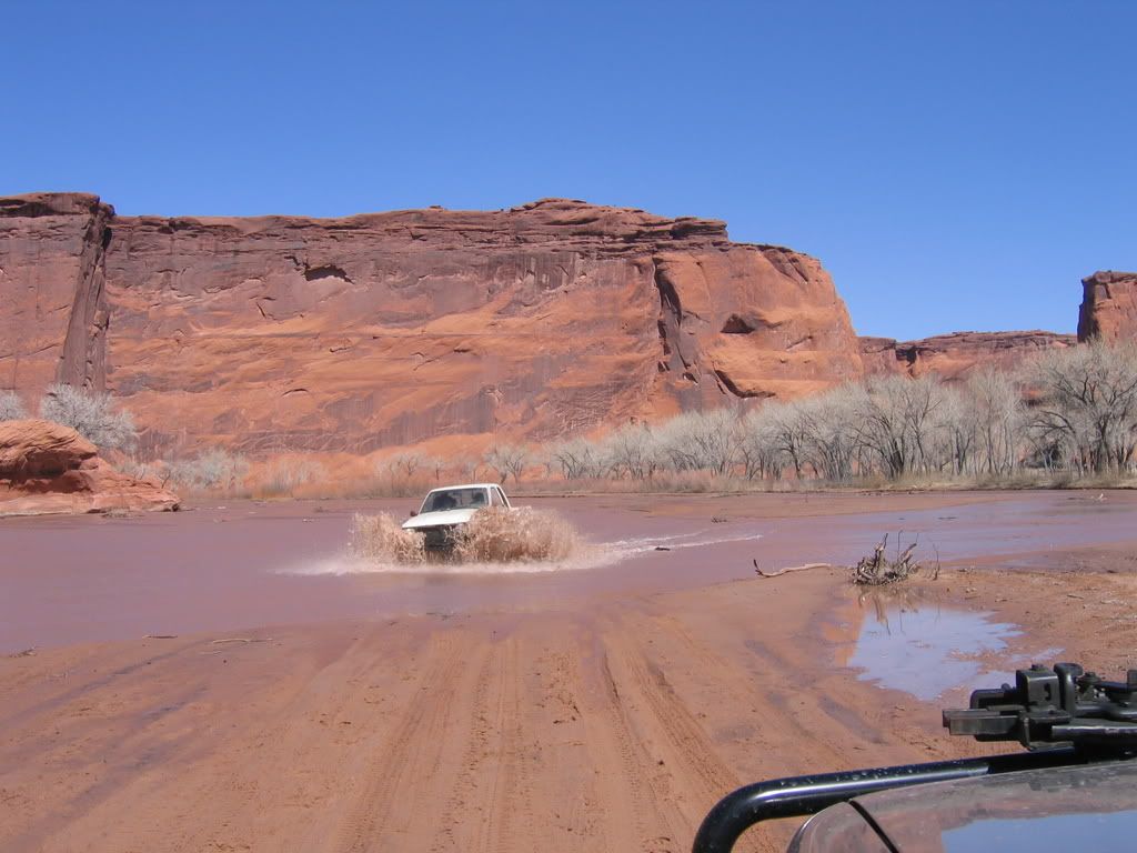
The drive over Blue Notch Pass is scenic and easy as long as it has not rained hard recently. I've seen cars at the bay that probably took that route. That is the route that GCNRA has in mind for people to reach the camping area... due to the low lake levels you can also access it via Red Canyon via the dry lake bottom... but dry is relative. I went alone the first time there and was ok. The second time we traversed it right after a flood and the road was kind of washed out at each creek crossing. There was an abundance of quicksand, which I was the only one to get stuck in.
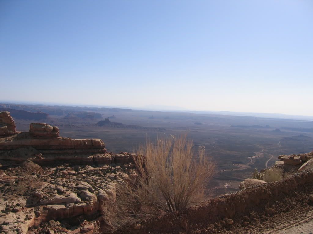
Red Canyon:

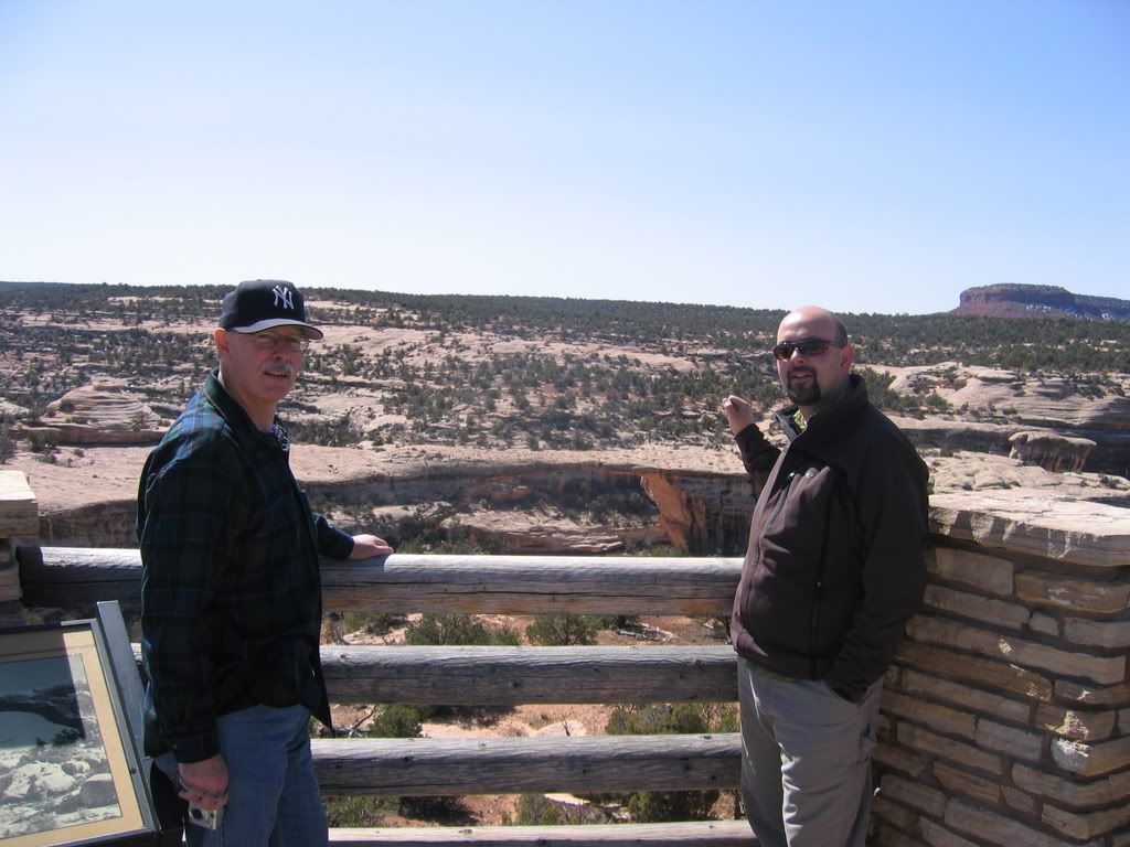
Checking the crossings on foot had its perils too:


Your GPS will come in handy finding the only point where you can access the road from lower Red Canyon:

Bring some pruners or a saw, the tamarisk takes over the trail pretty badly.


")