You are using an out of date browser. It may not display this or other websites correctly.
You should upgrade or use an alternative browser.
You should upgrade or use an alternative browser.
Hummer Picture Thread
- Thread starter Chris Cordes
- Start date
theicecreampeople
Adventurer
try now sorry ....
Your link did not open
David Hunter
New member
It opened for me, ,maybe he fixed it.
I joined the Arkansas Crawlers because I already knew several people in it. We were the support group for Superlift Park pictured in that Gorilla run. Our outings consisted of work weekends on the trail and guiding groups. I was the only H3 that was a guide. I had other H3 forum groups come down for some fun.
I only live about 20 minutes away and that was my "proving grounds" for many of my mods. I did catch up on rock crawling the same trails even though erosion was constantly changing the difficulty and so started going on overland journeys after shaking down the H3.
I will try to contact that group you mention and see how they are set up for trips.
I mapped the entire state of Arkansas from 10,000 feet above mean sea level with an aerial mapping camera with 60% forward overlap and 20% side lap for stereo imaging.
That was before GPS! It took ten years.
I have lots of places yet to go see on the ground that I have circled on the county maps that were made from my photography. We have 75 counties and several National Forests and remote National parks still fairly all wilderness area in the Ozarks and Ouachita mountains right here within a 100 mile radius of home.
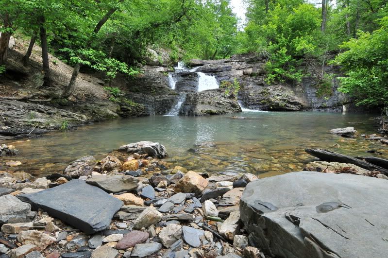
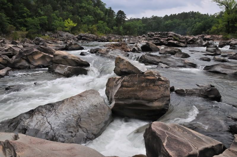
My plans this fall (if it ever rains) is to work my way into many waterfalls in remote locations so I can capture images like this.


Raw7s
Adventurer
so the lockers and 4;1 came only with adventure package ? i see h3ts for sale but none of them say if its adventure package or no. may be vin # ?
The way to tell if an H3 has the Adventure/Off-Road package is a quick look at the dash. Some guys on here know how to decode the vin#, but I don't.
this is a 2008 H3 Adventure, only had the rear diff lock available:
this is a 2009 H3 Adventure, notice the added front diff lock:

this is an H3 WITHOUT Adventure, notice no diff lock:

you can also tell by the factory tire size on the sticker inside the door, the Adventure will have the 285/75R16 tire size:

Oh and the difference between people calling it an Off Road package vs Adventure package. Adventure=i5 , Off Road=v8(Alpha)
Keeper0311
Dude...where's my VBIED?
Here's my addition to the thread. By the way some great looking Hummers in here.
We got this one stuck in the Estonian swamps. Took a good bit of digging and an Estonia APC to pull it out.
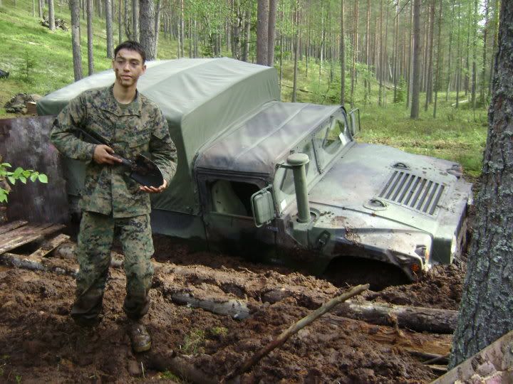
We got this one stuck in the Estonian swamps. Took a good bit of digging and an Estonia APC to pull it out.

Chris Cordes
Expedition Leader
haha thats awesome!
Humvette
Adventurer
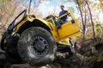
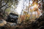
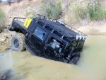
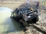
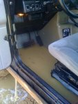
Last weekend me and the boys went out and had some much needed fun. One in our group had a little too much fun 
Wait for the full Youtube video!!! This was killer!!!
Wait for the full Youtube video!!! This was killer!!!
Attachments
-
 2012-11-10 09.28.04.jpg522.3 KB · Views: 42
 -
 8177380415_3c288c0c36_h.jpg489.3 KB · Views: 47
 -
 8177383769_c0e5d902cc_k.jpg578.9 KB · Views: 43
 -
 IMG_3223.jpg567.1 KB · Views: 59
 -
 IMG_3226.jpg581.2 KB · Views: 59
 -
 pano_20121110_120300_205.jpg323.3 KB · Views: 48
 -
 IMG_2186.jpg485 KB · Views: 51
 -
 IMG_2206.jpg272.5 KB · Views: 49
Fudge0514
New member
Last weekend me and the boys went out and had some much needed fun. One in our group had a little too much fun
Wait for the full Youtube video!!! This was killer!!!
I still can't believe he did that. Oh, and for the record who the heck would drive a YELLOW hummer? What an idiot.
Chris Cordes
Expedition Leader
Haha ive not checked depth before ending pretty much the same way
Humvette
Adventurer
REDROVER
Explorer
Thanks, I have been browsing for a long time but was ready to interact with those of like interests.
Hopefully I can get in on some trips with small groups.
beautiful H3 sir.
Similar threads
- Replies
- 0
- Views
- 594
- Replies
- 23
- Views
- 801
- Replies
- 9
- Views
- 2K
