The NF gets lots of RV/ATV use on the west side. These are big developments for motorhomes, toyhaulers and all sorts of camping & riding folks. We blasted thru that insanity as fast as possible. A couple of the trails we were planning on were closed to full size rigs so we had to route on the fly.
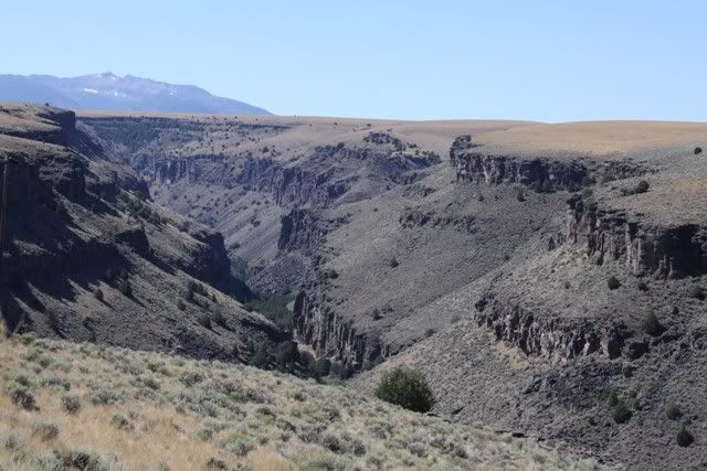
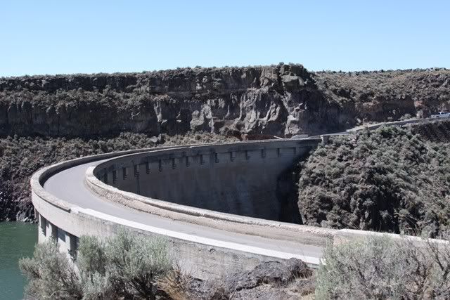
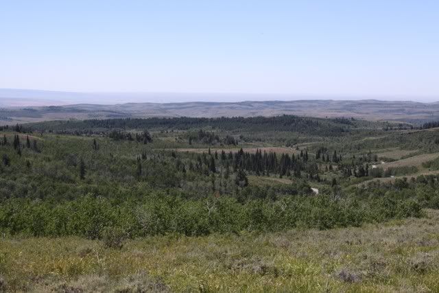
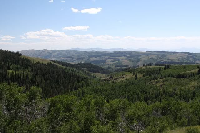
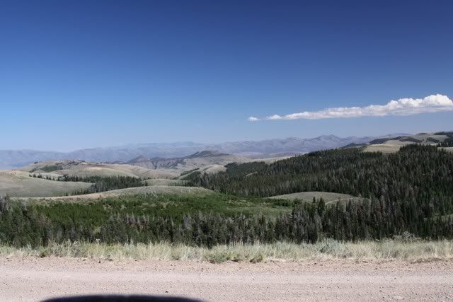
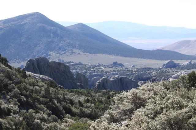
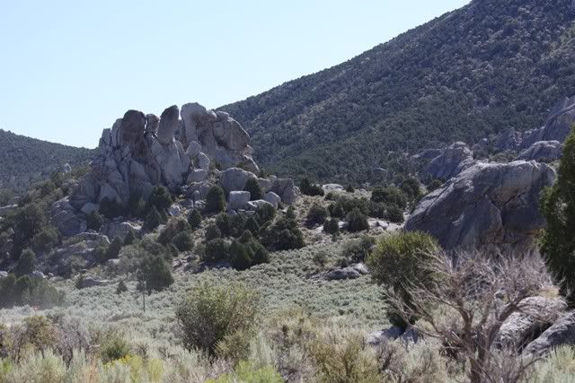
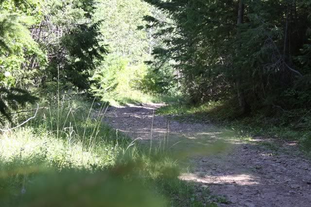
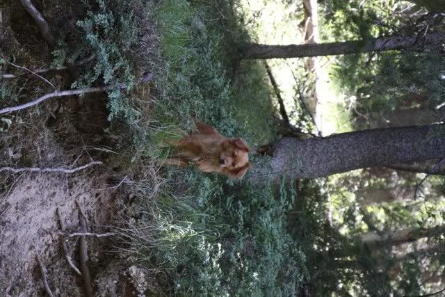
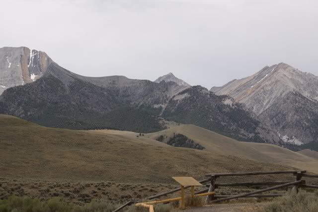
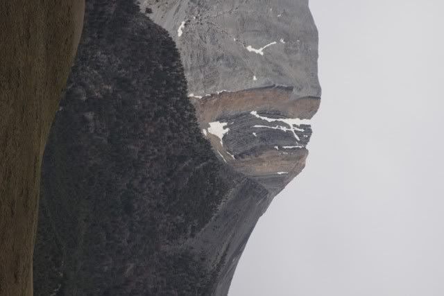
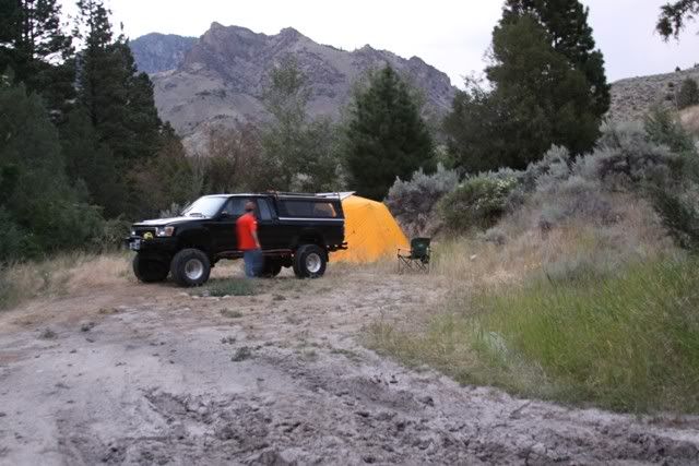
Some scenery
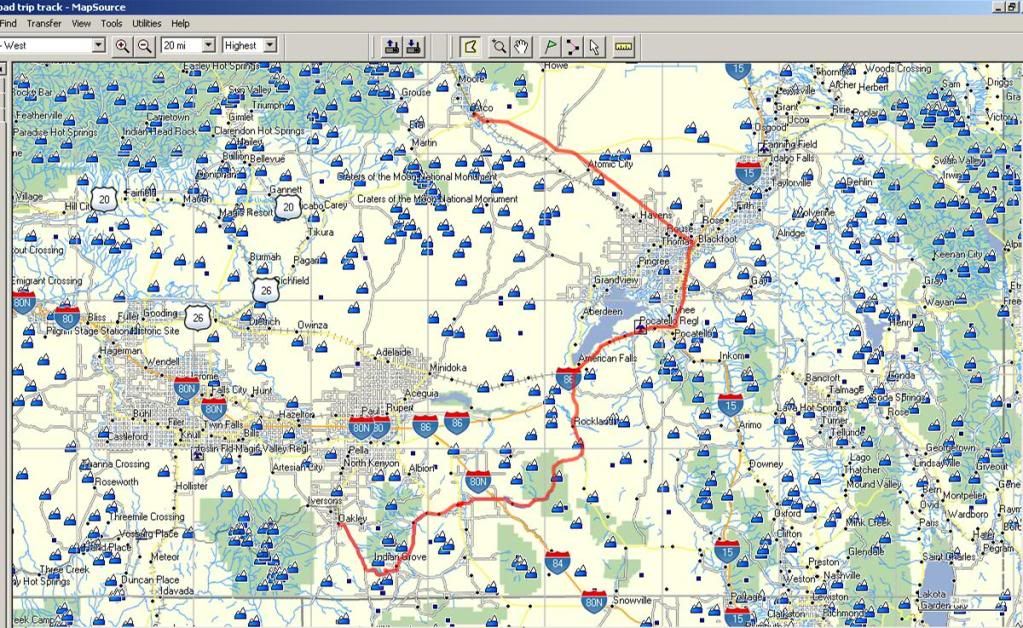
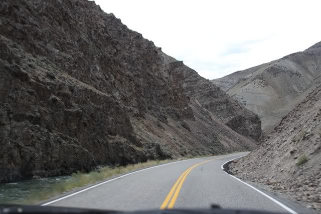
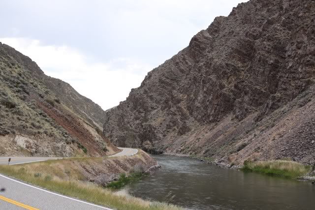
After a while it kinda runs together. The roads are winding and go from the valleys to the mountain tops. As low as 4500' up to 7500' two or three times on this trail. We went on to the town of Oakley looking for a campground w/showers. Found the unattended city campground and had it to ourselves. 6$ for a site and 1$ for a good long hot shower. Bought a few supplies from the local store figuring nothing would be open on Sunday and called it a day.
This was the longest leg of the trip. Halfway thru the day we made the decision to head north and try to get away from the heat. As soon as I got back I started looking into what it would take to put AC in this rig. Since winter is coming I'll probably never do it.
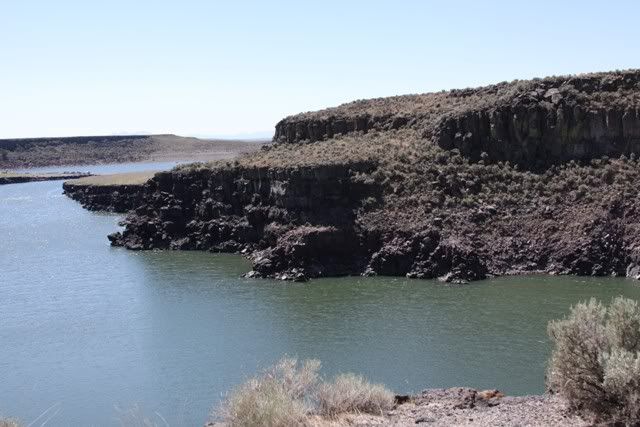
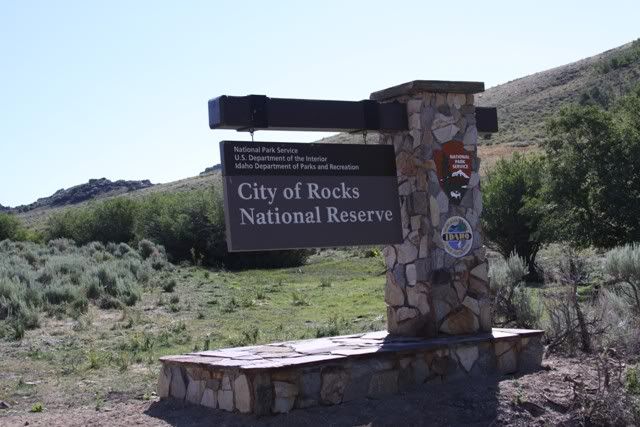
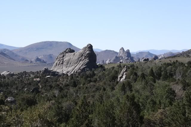
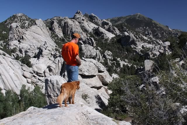
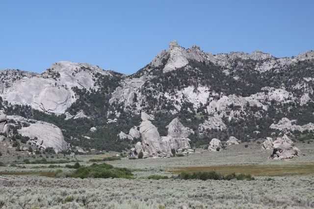
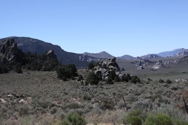
Leaving Oakely we headed to another section of the Sawtooth NF. Instead of going thru it we swung south of it and went to the "real" City of Rocks. This one even has a sign.
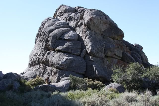
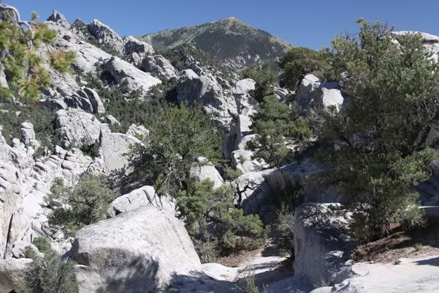
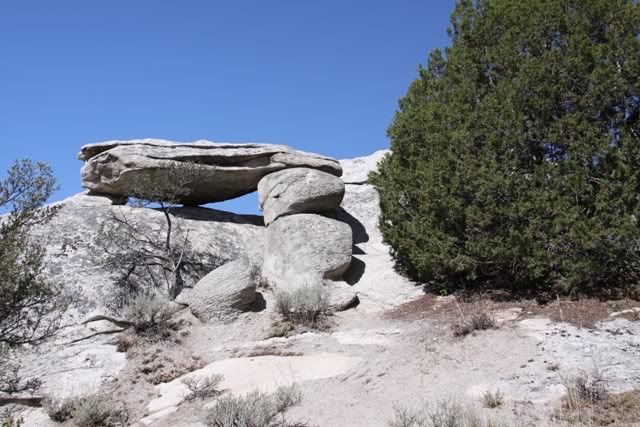
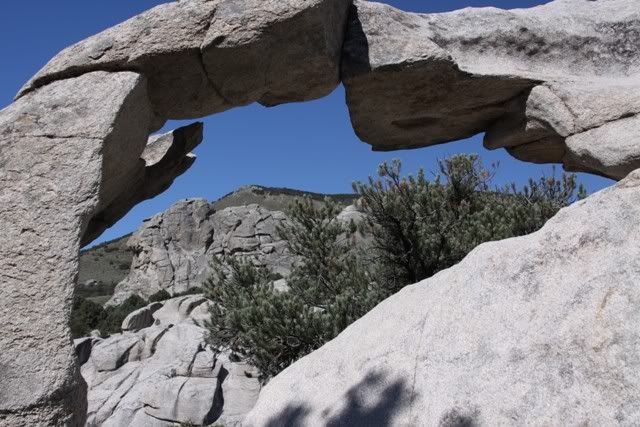
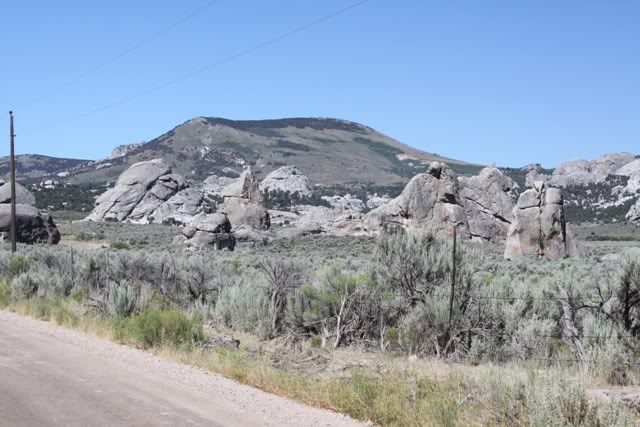
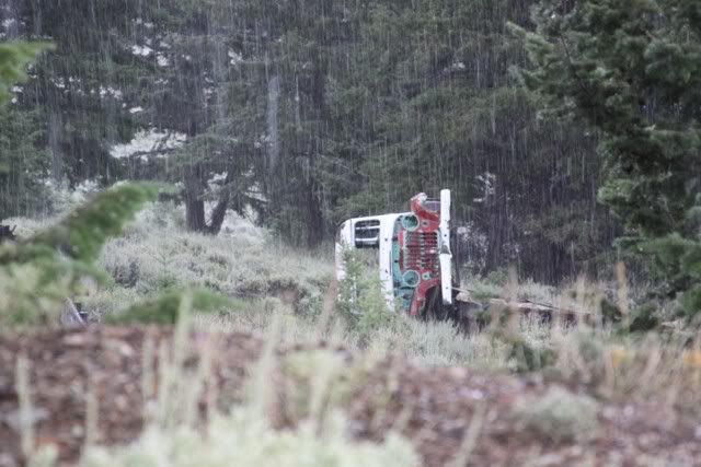
Some rocks!
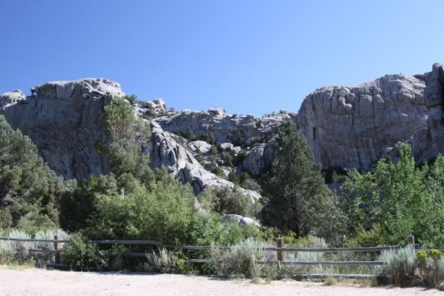
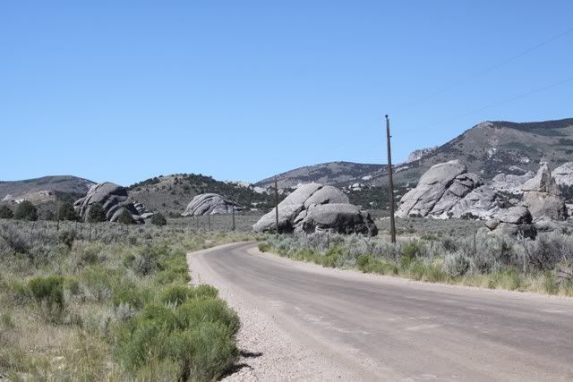
We looked and looked for a legal trail where we could play in the rocks. Even the back roads into the area were fenced and signed. Darn National Parks... So we played tourist.
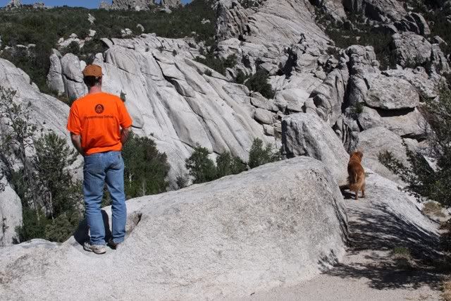
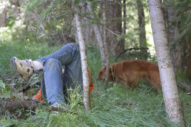
It was so dang hot we found some shade to stop and rest
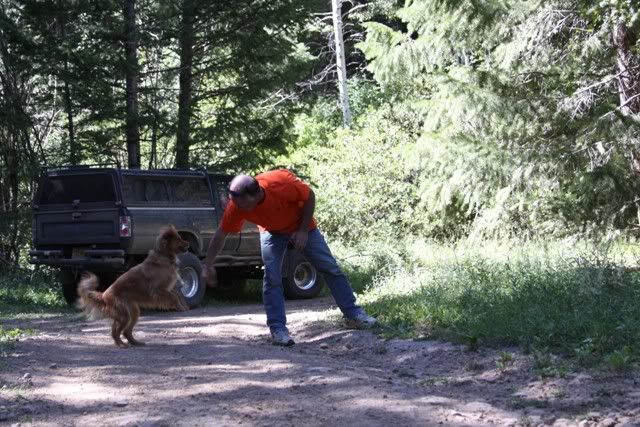
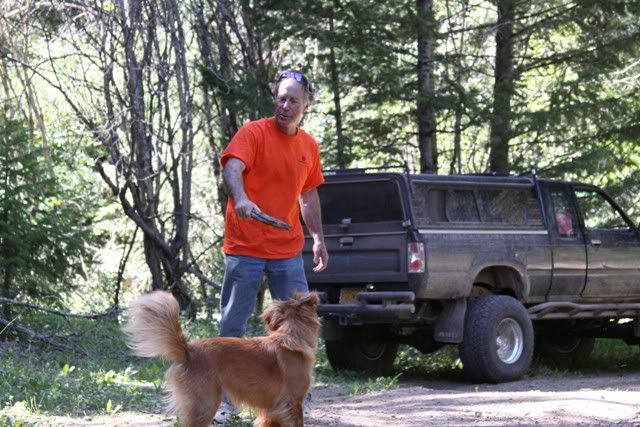
And play alittle
Leaving the NF we decided to head north. There was more to the east we wanted to see and a sand dune rec area that we passed up. Maybe see those on a trip to Yellowstone later this year or next.
We got to the black top and headed to Pocatello, Blackfoot and then to Arco. Passed by Atomic City, the site of the first nuclear plant and the Idaho National Engineering Laboratory. When we got on I-86 and the speed limit was 75 and we had a hard time doing 60. That's when I realized my tires were still at 20psi. Surprising how much resistance those tires have, that and the 22re isn't exactly a power house. It's not like we needed the extra traction it just softened the ride on all those dirt roads. We were a little tired of plodding along at 10mph in the heat and the little cruise was nice. We got into Arco after dark, found a campground, again w/showers AND free breakfast. Kinda wondered how the town got its name as I worked for ARCO for 20 years. The girl at the campground had no idea...
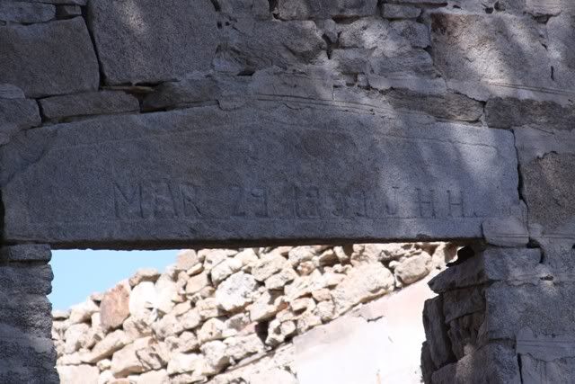
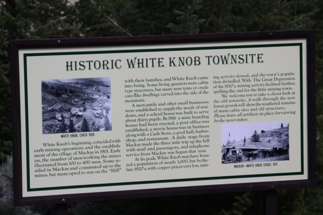
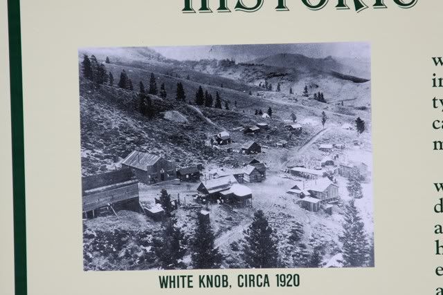
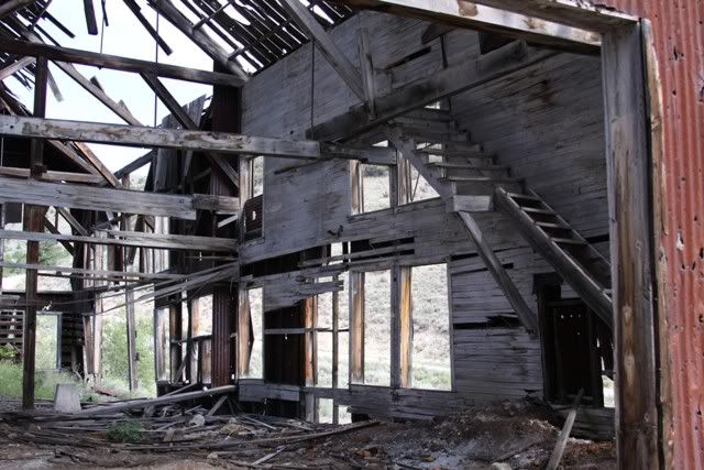
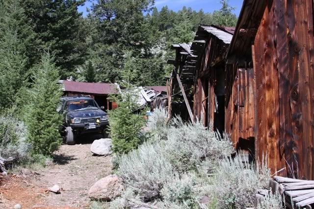
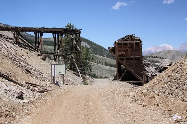
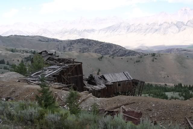
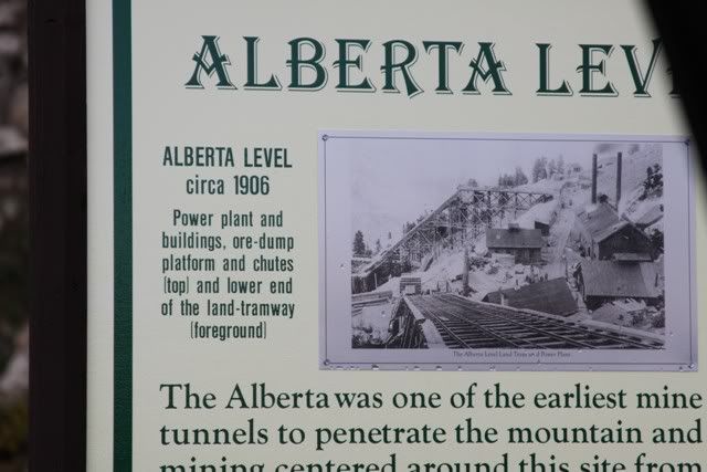
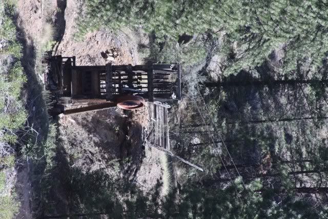
We headed out of Arco planning to spend most of the day at the McKay mines. McKay is the jumping off point to a well preserved mining area just out of town.
There are several old mine sites and maps available for self guided tours. So on to the tour.
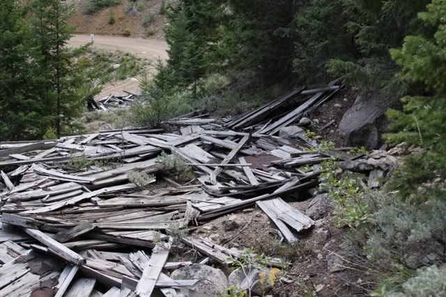
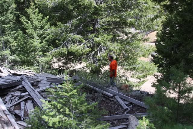
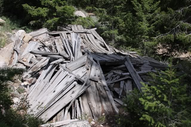
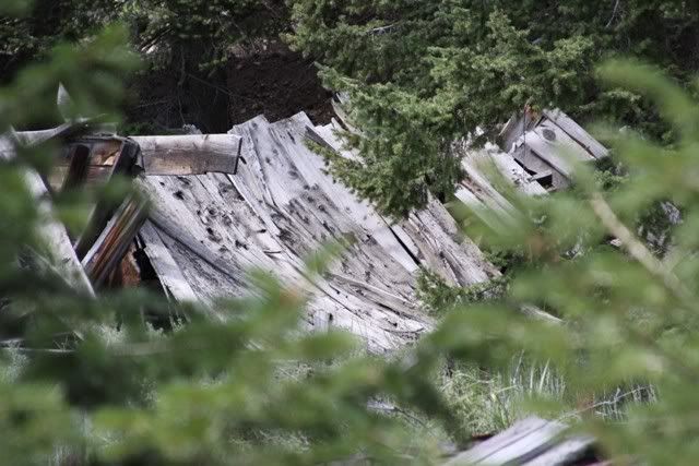
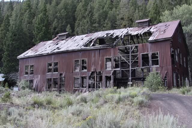
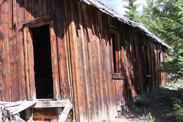
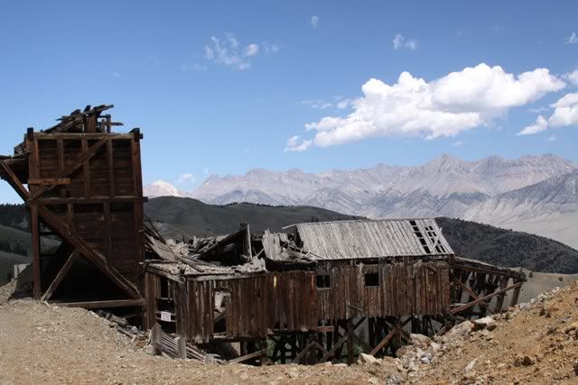
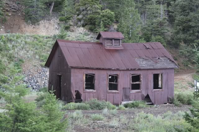
Not much of the town left standing. Kind of surprising that this stuff hasn't rotted away. I guess it's pretty dry country in summer.
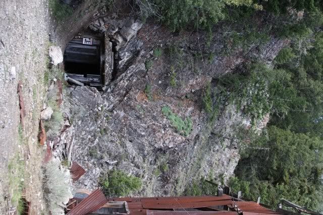
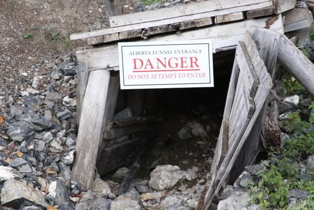
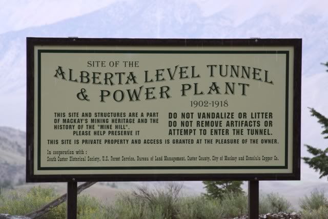
Who in their right mind would? It's caved in just past the entrance.
Not much left today
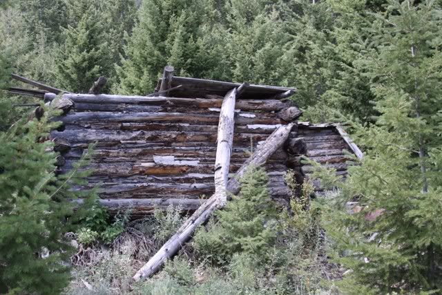
There was other stuff around but this is the only thing from the picture recognizable.
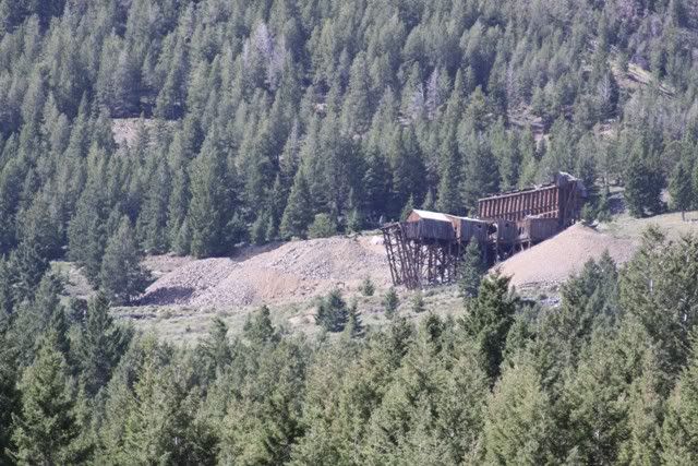
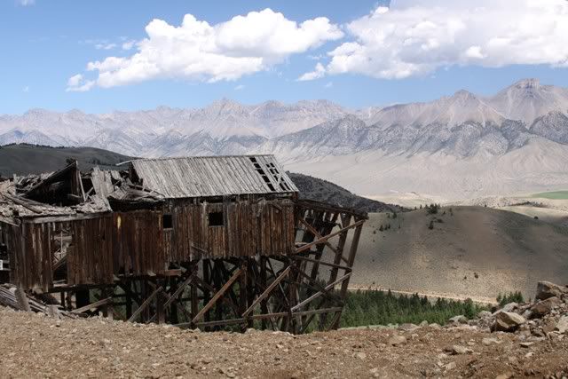
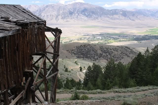
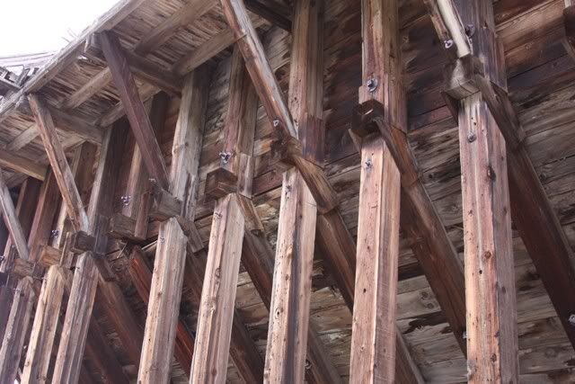
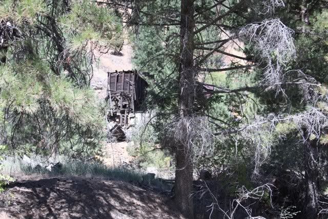
On to the top, 8400' and snow! The site at the top was operating until the 1960s. From a distance it looked like it could fire right up. Up close it was clear it had been abandoned for a long time. It was more like a strip mine on the mountain top than a hard rock mine like those at lower elevations.
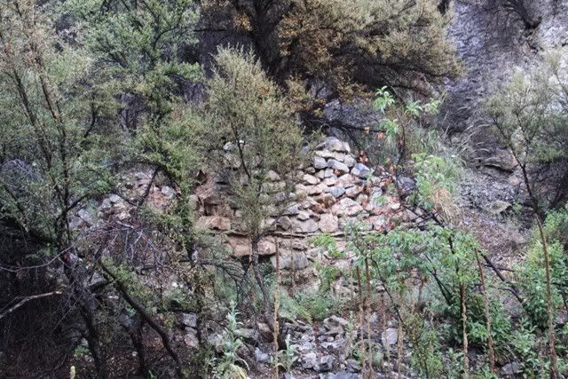
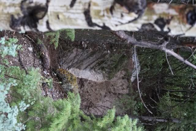
There were several of these kilns scattered throughout the area. Some were just rock ovens like this and others were like cement walls like the second pic
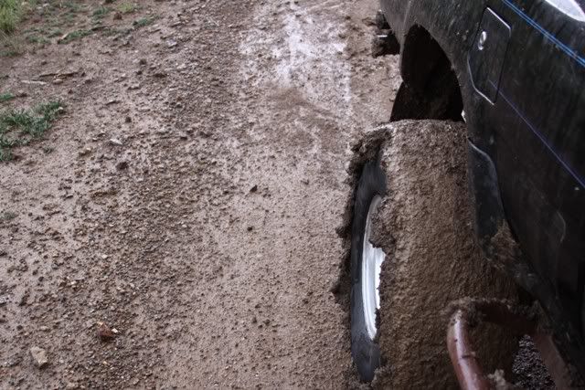
The rain/snow gave us our first taste of Idaho gumbo. One taste was enough.
This stuff was so slick that I could not climb even the smallest hills unless locked front and rear. We were high up and the off camber roads that leaned down hill caused some serious puckering. We would inch along all the while trying to keep the drivers front in the ditch to hold us on the road. The rear would just slide toward the edge of the road.
When we got back into McKay we stopped at the gas station to ask about a car wash. They said yes and pointed the way. I asked if it was ok to wash off the mud at this car wash. They laughed and said yeah no problem. When we found it we understood the laughing. I think the ranchers use it for cleaning cow **** off their trucks. I tell ya it stank! We got the rig clean and hauled ***.
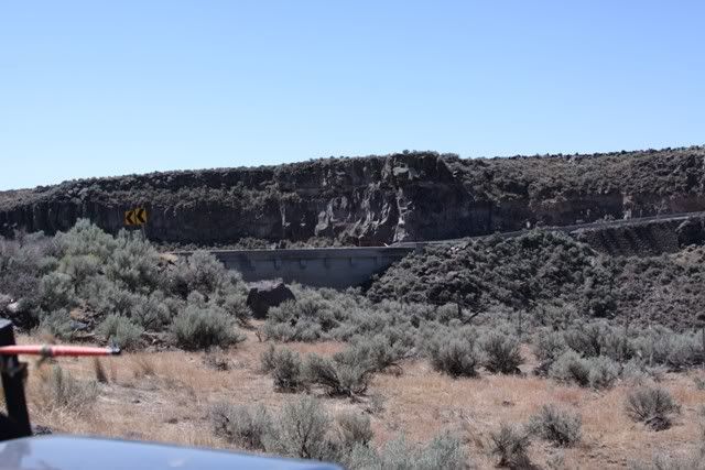
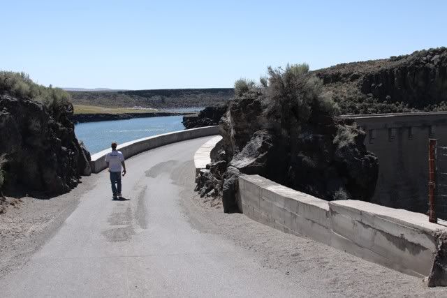
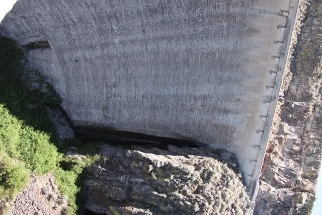
Stopped at a site a few miles off the pavement. We were going to take this road across the mountains but opted to go back to the blacktop so we'd have time to poke around on the Magruder Road.
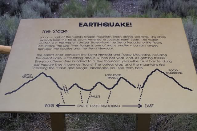
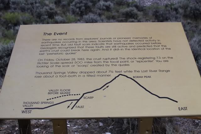
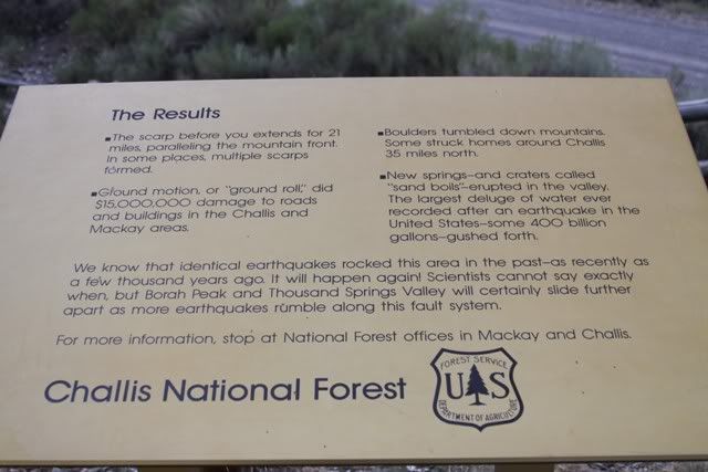
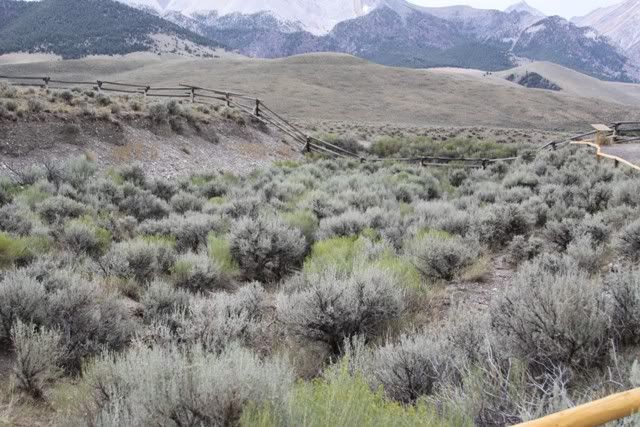
The scarp both directions for as far as you could see.
The mountains behind the scarp look pretty cool. You can see how the earths surface has been turned straight up.
For some reason I can't get PB to display the rotated pics here...
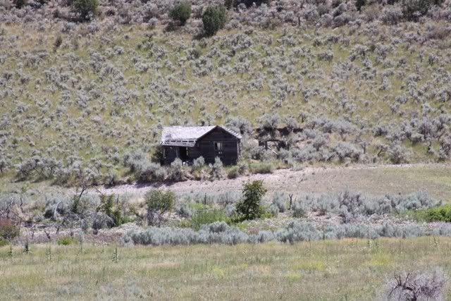
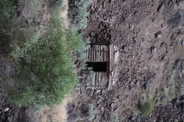
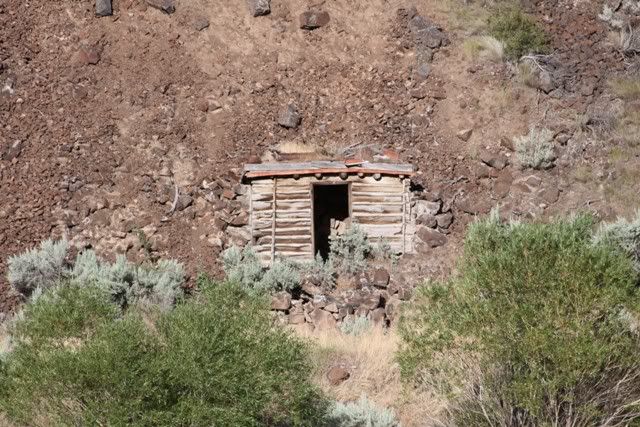
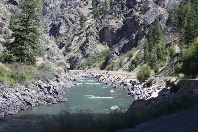
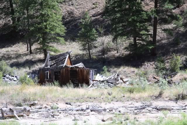
Camped along the river where Lost Creek runs into the Salmon River. Not sure what these buildings are for. There were several along the road on the other side of the River. You could see the mountain thru the door so it doesn't look like they were tunnel entrances.
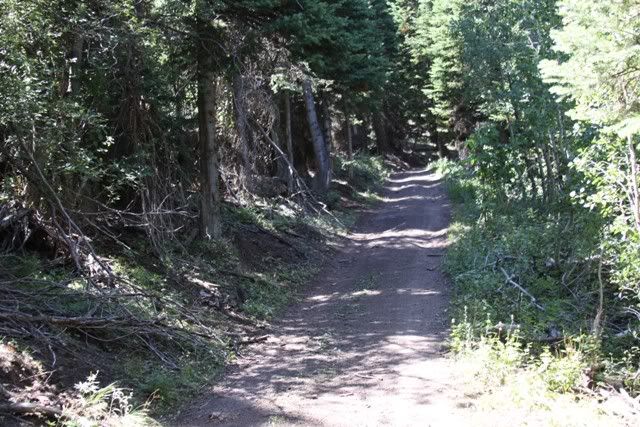
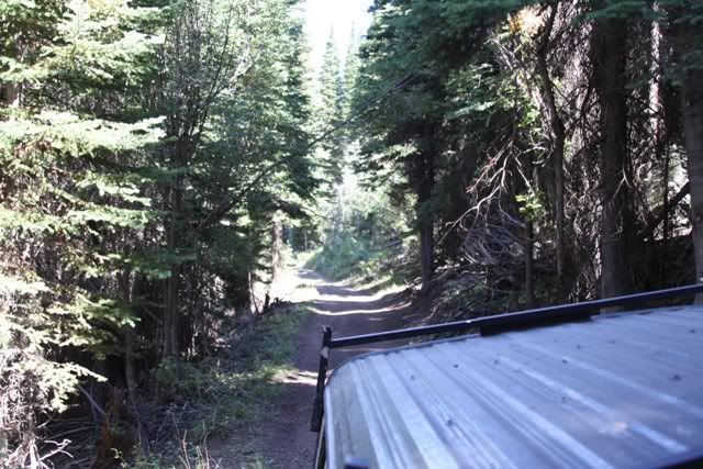
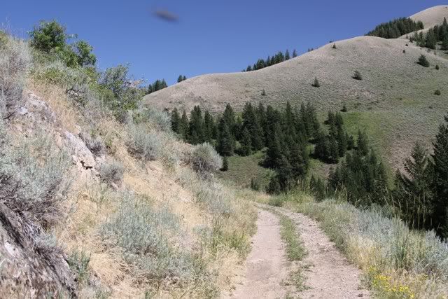
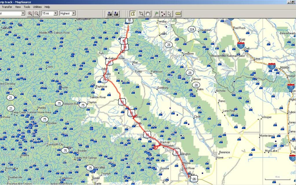
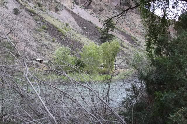
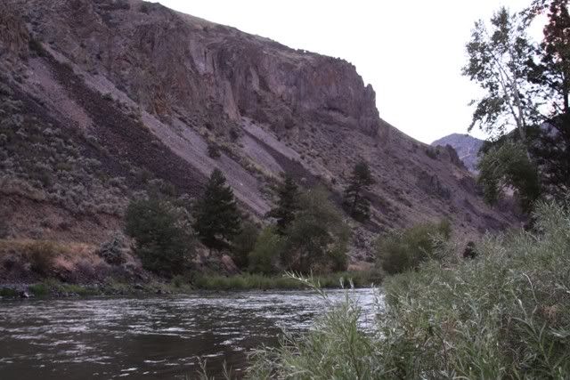
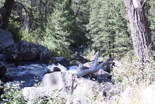
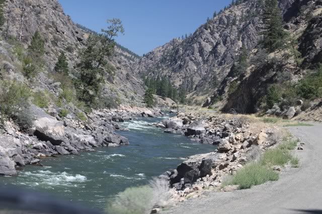
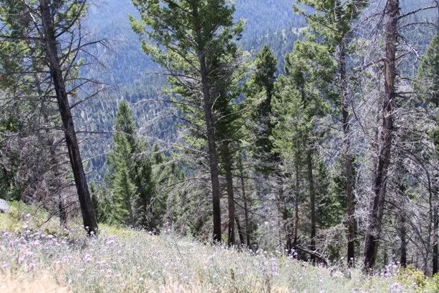
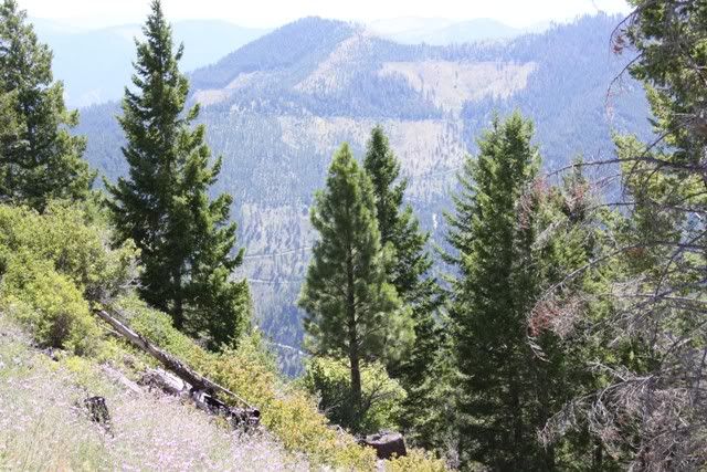
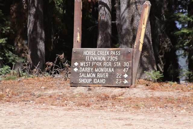
8-17 Headed for the Magruder road via Shoup. As far as scenery and forest and general back country this leg of the trip was the best.
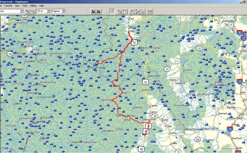
Back on the road and to the outskirts of Salmon Idaho. From Salmon it was some long stretches of dirt road. I can' count the times we climbed to 8000' then went back down into a valley.
Here's a better pic of that little shack against the side of the mountain. Still scratching our heads wondering what these are for. One had a stove pipe, maybe they were some kind of line shack for folks traveling the slow road.
As far as scenery and forest and general back country this leg of the trip was the best
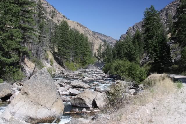
Heading west from Salmon along Williams Creek.
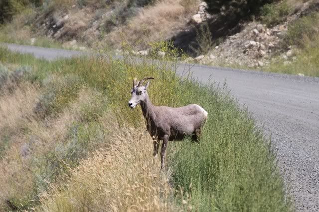
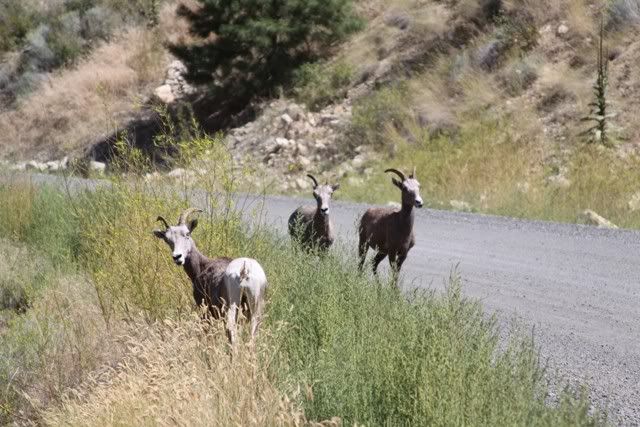
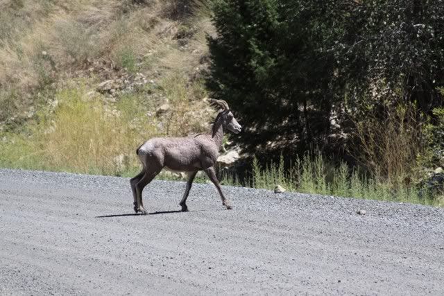
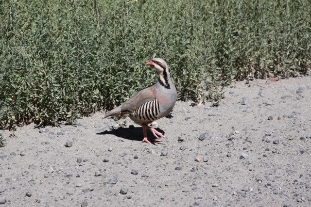
I think these are posers like the ones we have along the Seward Hwy
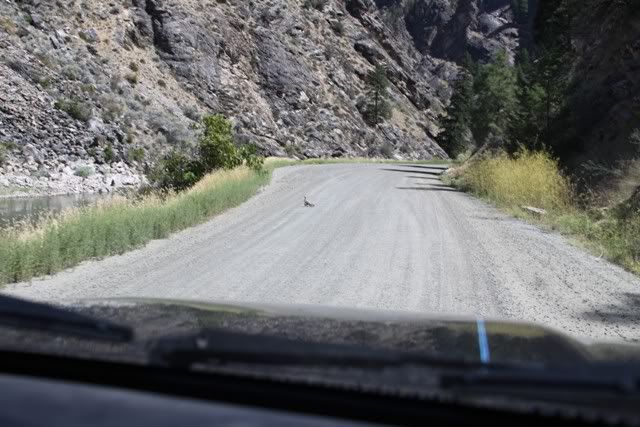
Kinda late for chicks as small as this hen has. Couldn't get there before the little ones were hidden in the bushes
After a while all the creeks run together and I can't remember which ones are in the pics. The roads in this area pretty much follow the creeks, Williams Creek to Moccasin Creek to Napias Creek to Panther Creek
Mining history as we came into Shoup. The maps show lots of mines. Few have anything left to guide you to them.
From here we headed toward Conner and Darby. The plan was to get on the Magruder and head west. We got to the Forest Service station just after it closed. A worker there said the Magruder was washed out. I talked to the forest "supervisor" three weeks before and was told it should be fixed by the time we arrived. We were at a loss as to what to do so we headed to Darby for gas and a meal.
The food was great and the little town was pretty busy. What got my attention was the number of modified toyota trucks. Everytime we turned around there was another one going down the road. Shared lots of thumbs up as we sat near the park pondering our next step. Eventually we decided to go for it. If they were still working on the road maybe we could squeak by.
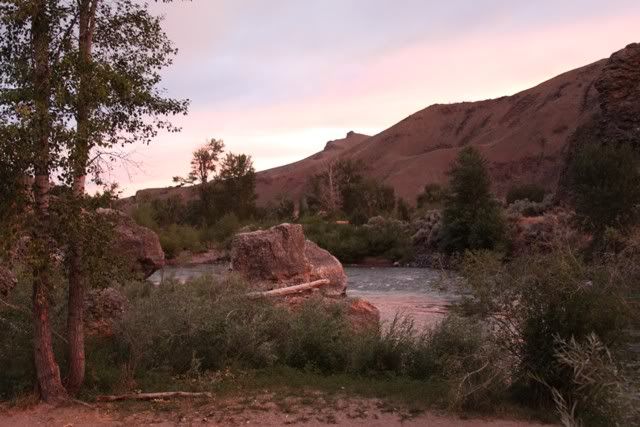
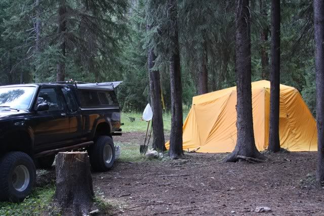
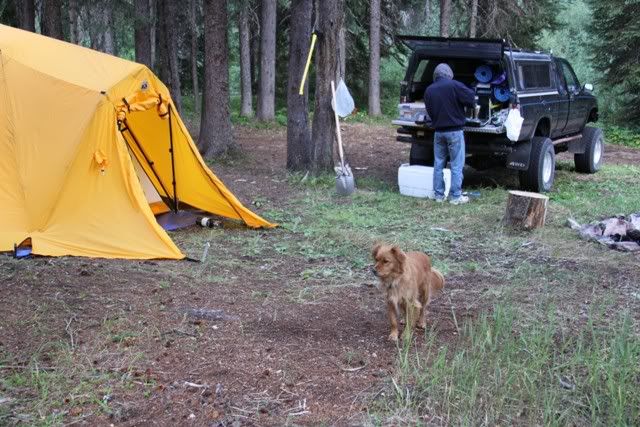
We ran until almost dark and camped along Deep Creek.
This site uses cookies to help personalise content, tailor your experience and to keep you logged in if you register.
By continuing to use this site, you are consenting to our use of cookies.